Elevation of Shalshirmbe, Maharashtra, India
Location: India > Maharashtra > Satara >
Longitude: 74.0990361
Latitude: 17.1487782
Elevation: 617m / 2024feet
Barometric Pressure: 94KPa
Elevation Map:
Satellite Map:
Related Photos:
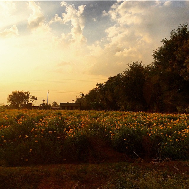
Yellow #yellow #flowers #sunset #pune #india #karad #highway

2013-09-26-2442

... far-end towards Malkapur

... windmills near Yenape

2013-09-26-2458

शान भगव्याची ।।जय शिवराय।।

Mahindra XUV

... windmills near Yenape

52kms to Satara, the lunch break point. #pedal2mumbai

18022010(006)

18022010(005)

Bangalore cycling club team on the way to Pune from Belgaum #pedal2mumbai

18022010(001)
Topographic Map of Shalshirmbe, Maharashtra, India
Find elevation by address:

Places near Shalshirmbe, Maharashtra, India:
Grampanchayat Salshirambe
Undale
Botrewadi
Maharugadewadi
Talgaon
Manu
Patilmala
Jinti
Thoratmala
Ond
Sawade
Havelwadi
Kasar Shirambe
Akaichiwadi
Ghogaon
Ondoshi Road
Mhasoli
Latakewadi
Kalawade
Chormarwadi
Recent Searches:
- Elevation of Corso Fratelli Cairoli, 35, Macerata MC, Italy
- Elevation of Tallevast Rd, Sarasota, FL, USA
- Elevation of 4th St E, Sonoma, CA, USA
- Elevation of Black Hollow Rd, Pennsdale, PA, USA
- Elevation of Oakland Ave, Williamsport, PA, USA
- Elevation of Pedrógão Grande, Portugal
- Elevation of Klee Dr, Martinsburg, WV, USA
- Elevation of Via Roma, Pieranica CR, Italy
- Elevation of Tavkvetili Mountain, Georgia
- Elevation of Hartfords Bluff Cir, Mt Pleasant, SC, USA