Elevation of Manu, Maharashtra, India
Location: India > Maharashtra > Satara >
Longitude: 74.1269322
Latitude: 17.1524494
Elevation: 646m / 2119feet
Barometric Pressure: 94KPa
Elevation Map:
Satellite Map:
Related Photos:
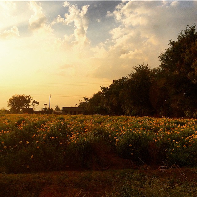
Yellow #yellow #flowers #sunset #pune #india #karad #highway

... far-end towards Malkapur

... windmills near Yenape

2013-09-26-2442

Day 1:Ready to roll from hotel manikandan

Day 1: Odo after Day 0

Day 1:Parking at Hotel Manikandan
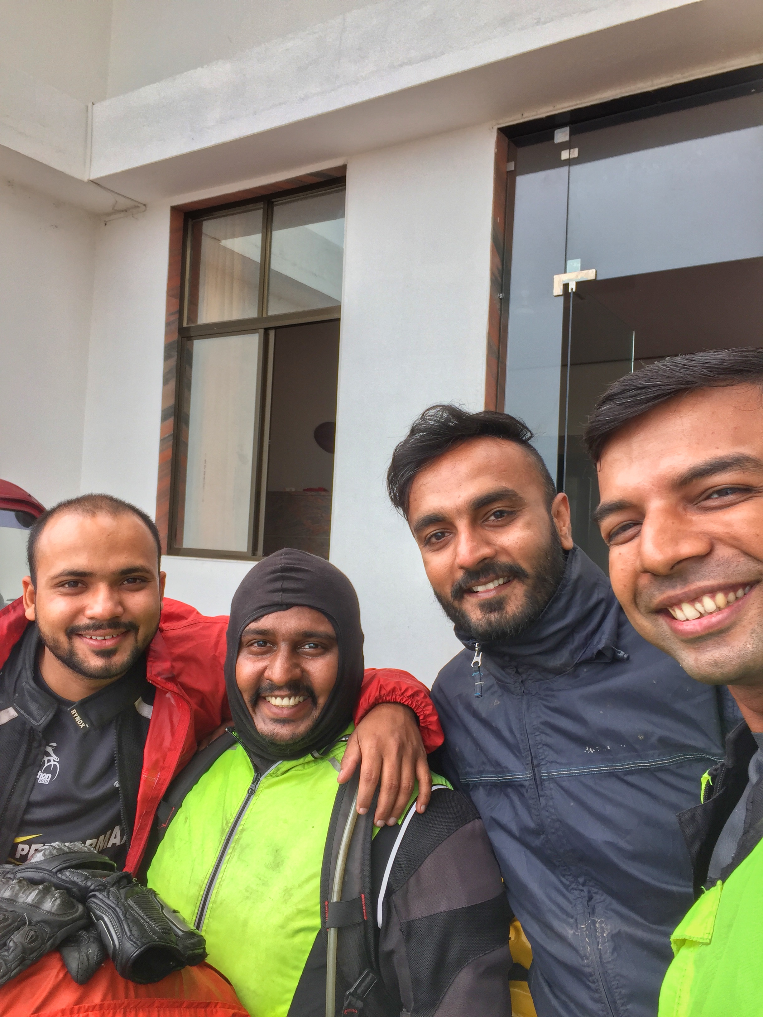
Day 1:Ready to roll from hotel manikandan
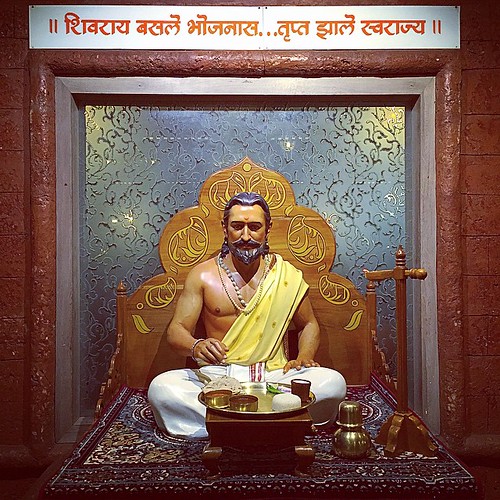
!! अन्न हे पूर्णब्रह्म !! #jayshivaji #raje #swarajya #shivraj #karad #city #art #aawaj #award #abstact #teamwork #PR #prgraphics #photography #picoftheday #shoot #design #fort #film #friends #killa #lights #camera #beauty #bioscope #njoy #nature #marathi

शान भगव्याची ।।जय शिवराय।।

Such an exhausting weekend trip. #HTC #Puneinstagrammers #Travel #Temple #Sunday #Sunset #Friends #Weekend

2013-09-26-2458

Kolhapur-Daund

Kolhapur-Pune

Mandangad-Miraj

Mhasavad-Kolhapur

Miraj-Pune stn

Pandharpur-Mandangad JADA

Sangali-Mumbai

Shirala-Baramati
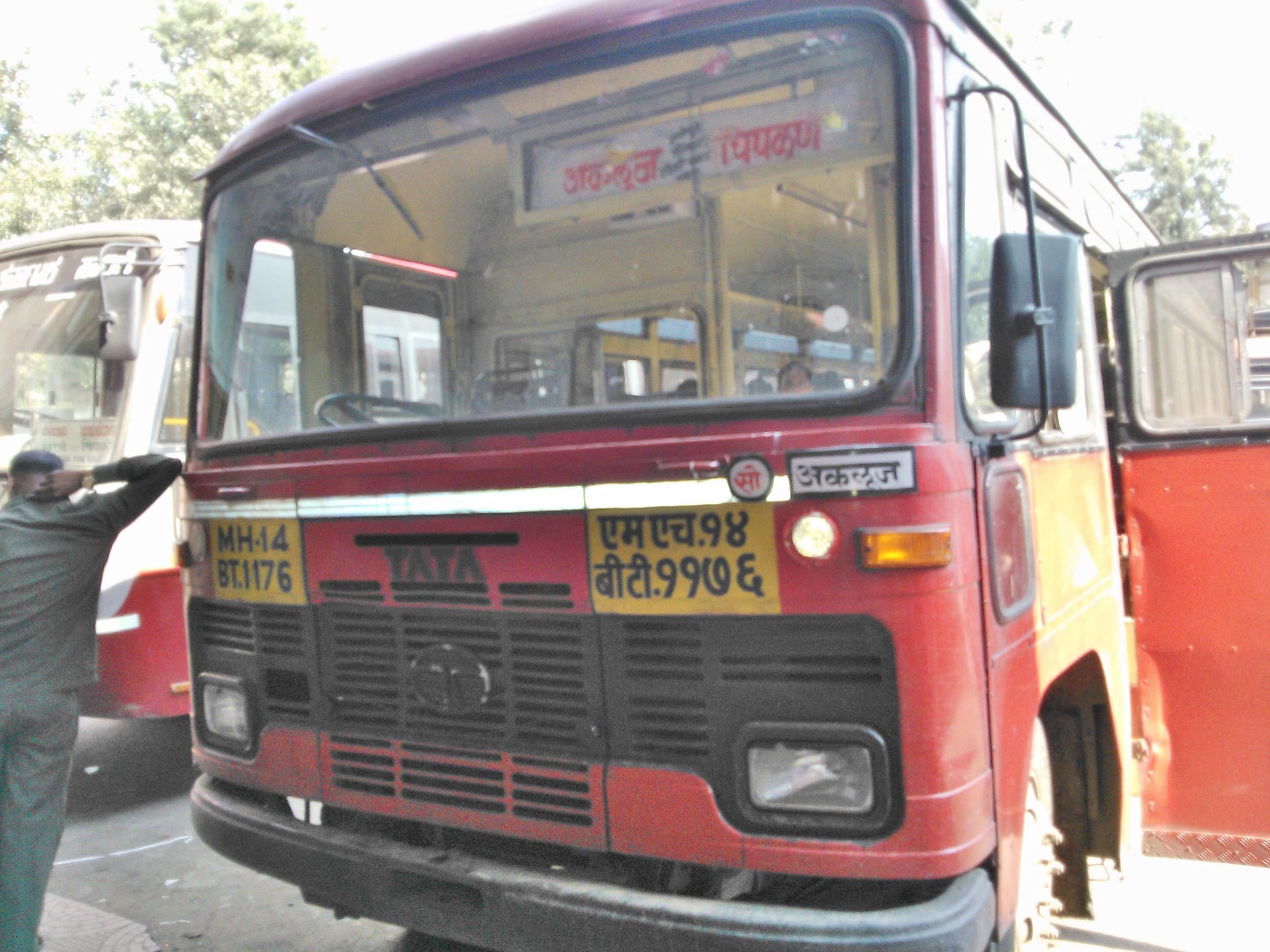
Akaluj-Chiplun

Galmewadi-Thane

Dapoli-Miraj
Topographic Map of Manu, Maharashtra, India
Find elevation by address:

Places near Manu, Maharashtra, India:
Kasar Shirambe
Patilmala
Thoratmala
Shalshirmbe
Grampanchayat Salshirambe
Ond
Kalawade
Undale
Botrewadi
Maharugadewadi
Ondoshi Road
Kale
Jinti
Talgaon
Z.p. School, Jujarwadi, Kale
Wategaon
Sawade
Havelwadi
Akaichiwadi
Dhondewadi
Recent Searches:
- Elevation of Corso Fratelli Cairoli, 35, Macerata MC, Italy
- Elevation of Tallevast Rd, Sarasota, FL, USA
- Elevation of 4th St E, Sonoma, CA, USA
- Elevation of Black Hollow Rd, Pennsdale, PA, USA
- Elevation of Oakland Ave, Williamsport, PA, USA
- Elevation of Pedrógão Grande, Portugal
- Elevation of Klee Dr, Martinsburg, WV, USA
- Elevation of Via Roma, Pieranica CR, Italy
- Elevation of Tavkvetili Mountain, Georgia
- Elevation of Hartfords Bluff Cir, Mt Pleasant, SC, USA