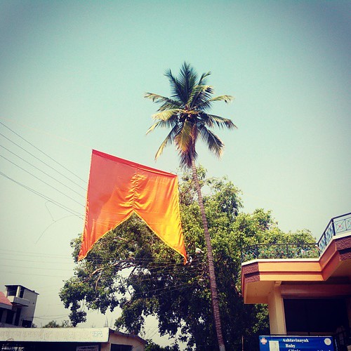
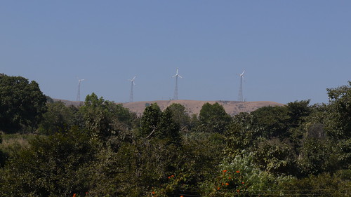
Elevation of Mhasoli, Maharashtra, India
Location: India > Maharashtra > Satara >
Longitude: 74.0505752
Latitude: 17.1749926
Elevation: 675m / 2215feet
Barometric Pressure: 93KPa
Related Photos:
Topographic Map of Mhasoli, Maharashtra, India
Find elevation by address:

Places near Mhasoli, Maharashtra, India:
Latakewadi
Havelwadi
Sawade
Talgaon
Ghogaon
Boragewadi
Tulsan
Undale
Chormarwadi
Yevati
Shendewadi
Varekarwadi
Vanarwadi
Yelgaon
Maharugadewadi
Grampanchayat Salshirambe
Shalshirmbe
Shevalwadi
Meni Ranjanvadi
Marekarwadi
Recent Searches:
- Elevation of Corso Fratelli Cairoli, 35, Macerata MC, Italy
- Elevation of Tallevast Rd, Sarasota, FL, USA
- Elevation of 4th St E, Sonoma, CA, USA
- Elevation of Black Hollow Rd, Pennsdale, PA, USA
- Elevation of Oakland Ave, Williamsport, PA, USA
- Elevation of Pedrógão Grande, Portugal
- Elevation of Klee Dr, Martinsburg, WV, USA
- Elevation of Via Roma, Pieranica CR, Italy
- Elevation of Tavkvetili Mountain, Georgia
- Elevation of Hartfords Bluff Cir, Mt Pleasant, SC, USA


