Elevation of Shade Hollow Rd, Grantsville, MD, USA
Location: United States > Maryland > Garrett County > 3, Grantsville > Grantsville >
Longitude: -79.169105
Latitude: 39.6873729
Elevation: 666m / 2185feet
Barometric Pressure: 94KPa
Elevation Map:
Satellite Map:
Related Photos:

Our View

Our View
View SE from Mt. Davis Fire Tower
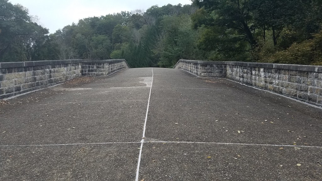
Casselman River Bridge-Deck View

Casselman River Bridge-View of the Arch

Front Yard View
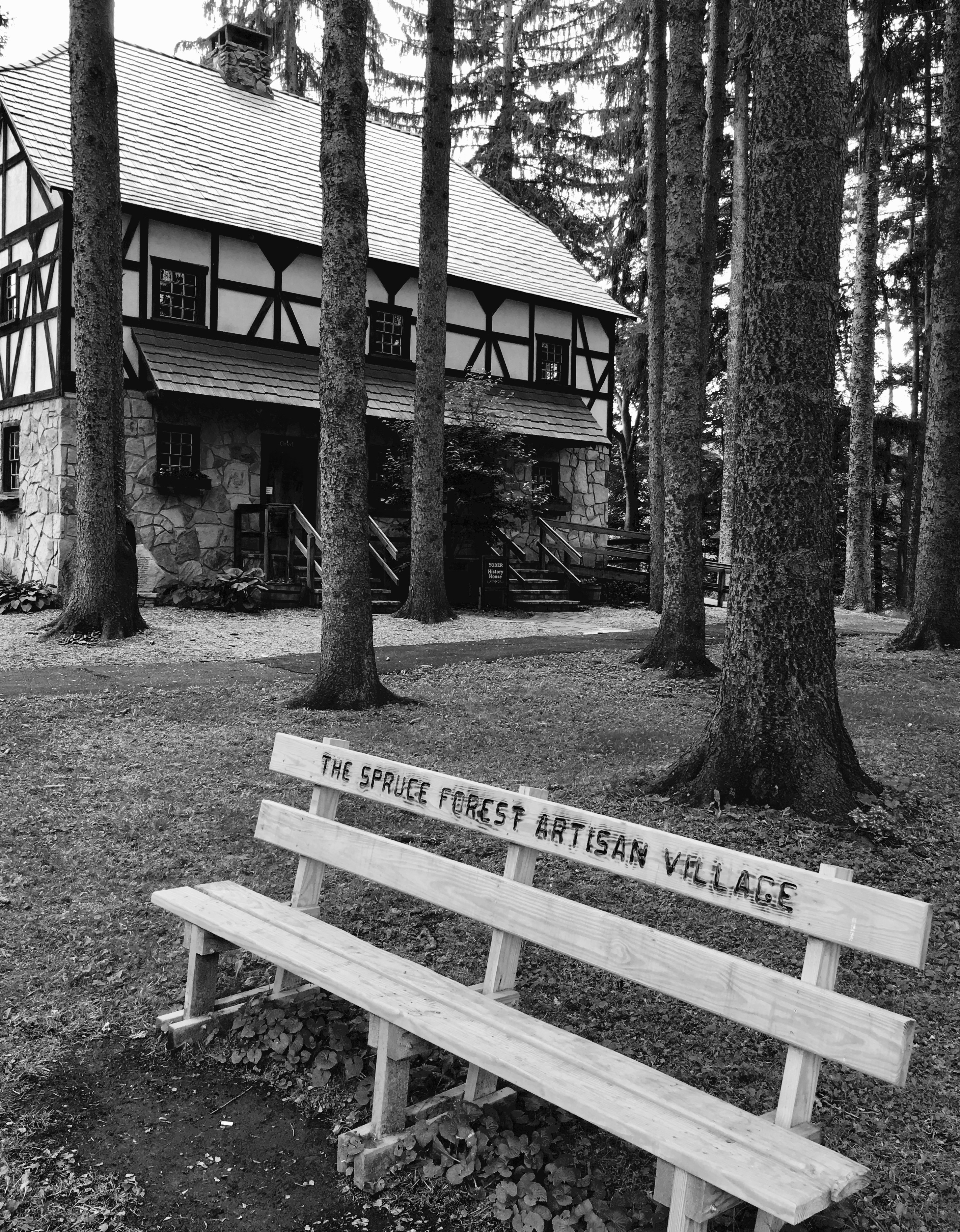
Spruce Forest Artisan Village

Just west of Turner’s Curve before grading

West approach to Casselman River Bridge

East approach to Casselman River Bridge

Atop DV Rocks

Castleman Bridge - Fisheye View

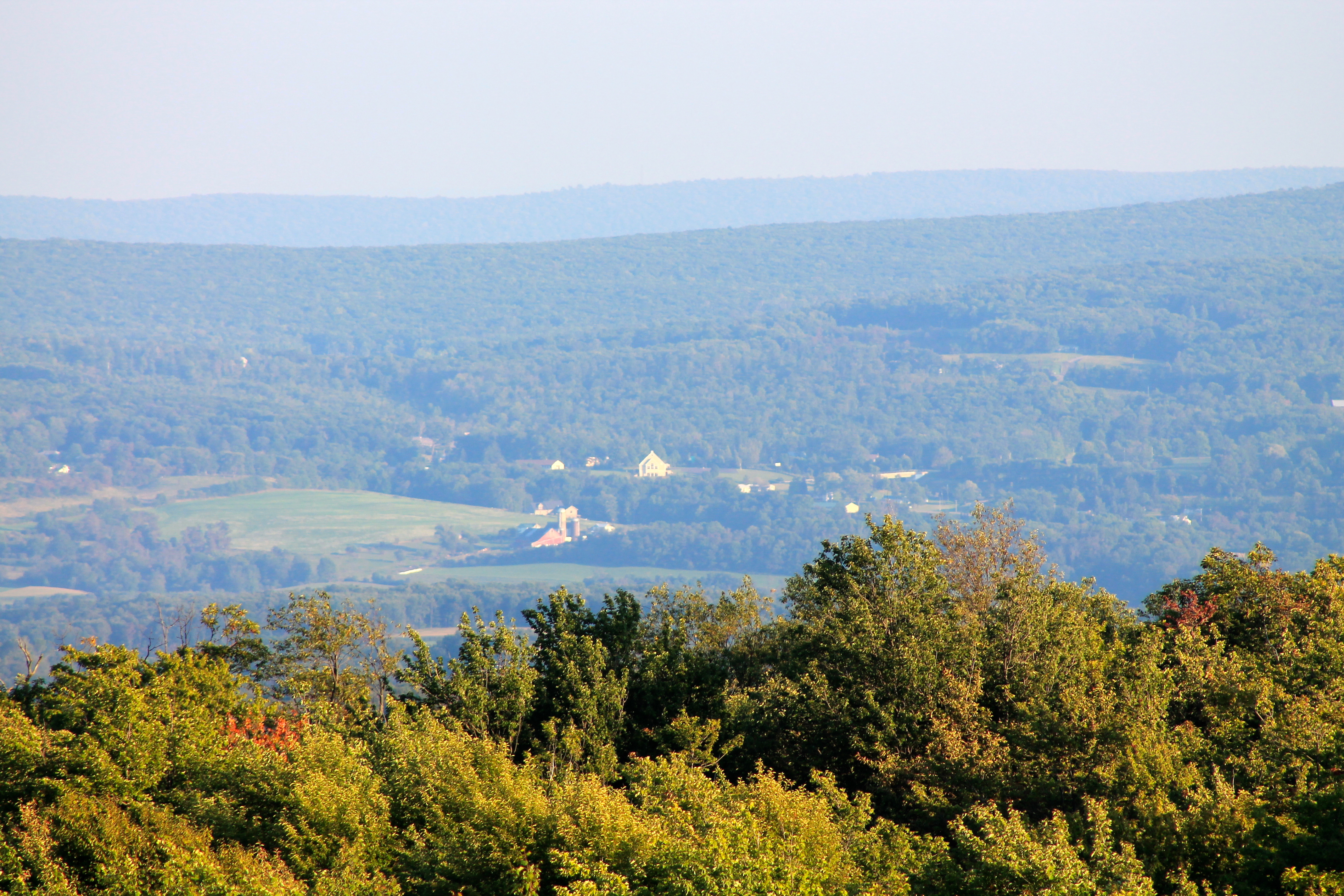
View west toward Laurel Ridge from Mt. Davis Fire Tower

View toward Maryland from Mt. Davis Fire Tower

View NE from Mt. Davis Fire Tower

View from the Cassleman Bridge

View east from Mt. Davis Fire Tower

Grand View Tavern, Maryland
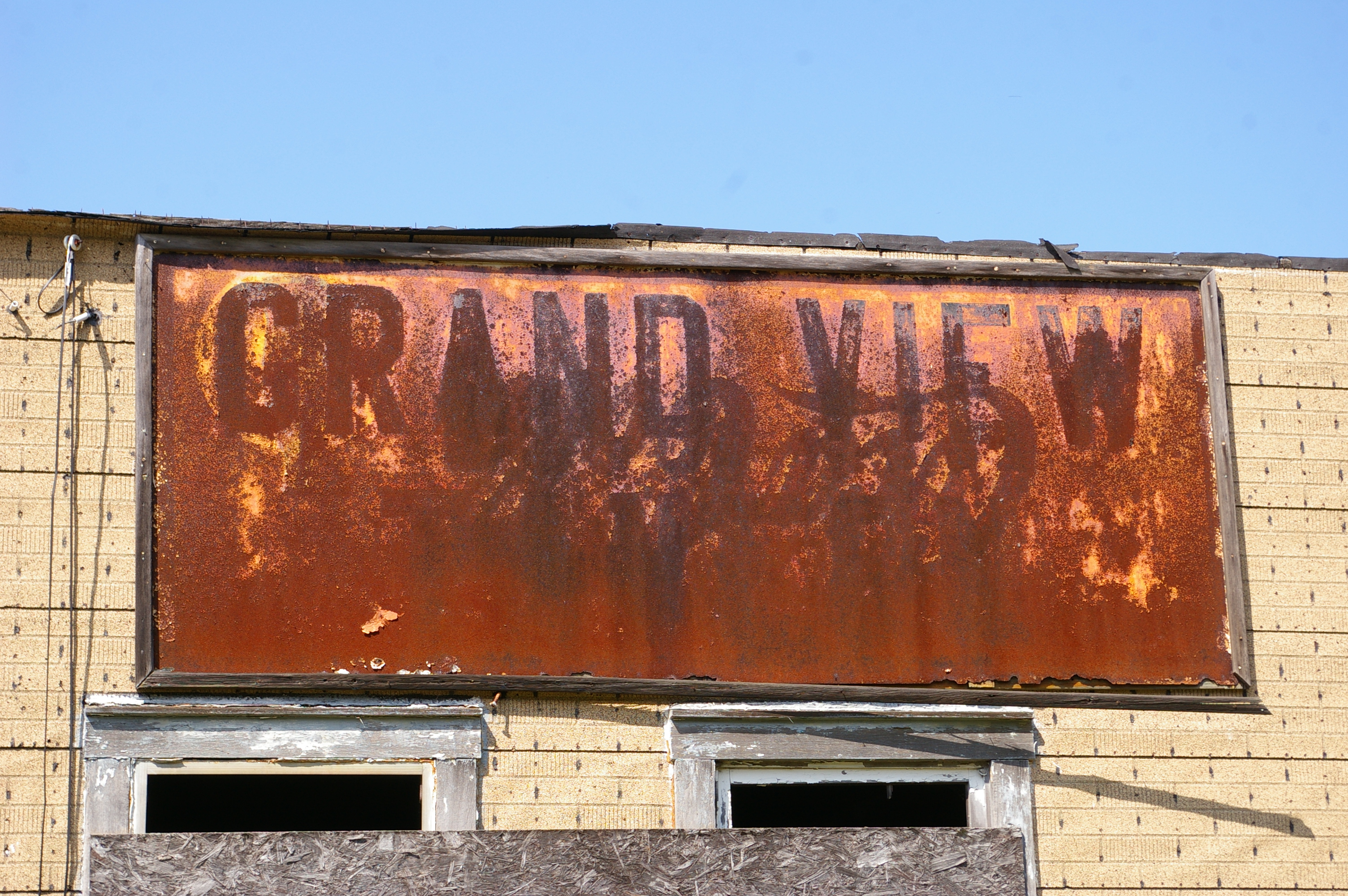
Grand View Tavern, Maryland

Greater Scaup

Snow Goose

James Drane House

Mysterious Forest

New Germany swamp

Kaese Mill

James Drane House

Casselman River Bridge

James Drane House

Frostburg Reservoir Wetland

Hillside Field — Garrett County, Maryland

Shade Run bridge, just west of Grantsville, Maryland

Mount Davis Lone Pine

Shade Run bridge, just west of Grantsville, Maryland

James Drane House

Mountain Morning Mist - Explore 2-12

Last Day Of Summer In Garrett County

an autumn morning

picnic table at Keysers Ridge, MD
Topographic Map of Shade Hollow Rd, Grantsville, MD, USA
Find elevation by address:

Places near Shade Hollow Rd, Grantsville, MD, USA:
Grantsville
1562 Springs Rd
3, Grantsville
422 Root Beachy Rd
1726 Durst Rd
706 Zehner Rd
Negro Mountain Church
64 Meadow Lake Dr
2903 Chestnut Ridge Rd
New Germany State Park
McAndrews Hill Rd, Grantsville, MD, USA
Keysers Ridge
Bowman Hill Road
2294 National Pike
12, Bittinger
305 Hemlock Meadow Dr
9743 Bittinger Rd
5, Accident
Main Street
Accident
Recent Searches:
- Elevation of Corso Fratelli Cairoli, 35, Macerata MC, Italy
- Elevation of Tallevast Rd, Sarasota, FL, USA
- Elevation of 4th St E, Sonoma, CA, USA
- Elevation of Black Hollow Rd, Pennsdale, PA, USA
- Elevation of Oakland Ave, Williamsport, PA, USA
- Elevation of Pedrógão Grande, Portugal
- Elevation of Klee Dr, Martinsburg, WV, USA
- Elevation of Via Roma, Pieranica CR, Italy
- Elevation of Tavkvetili Mountain, Georgia
- Elevation of Hartfords Bluff Cir, Mt Pleasant, SC, USA