Elevation of Hemlock Meadow Dr, Grantsville, MD, USA
Longitude: -79.289235
Latitude: 39.7129445
Elevation: 762m / 2500feet
Barometric Pressure: 92KPa
Elevation Map:
Satellite Map:
Related Photos:

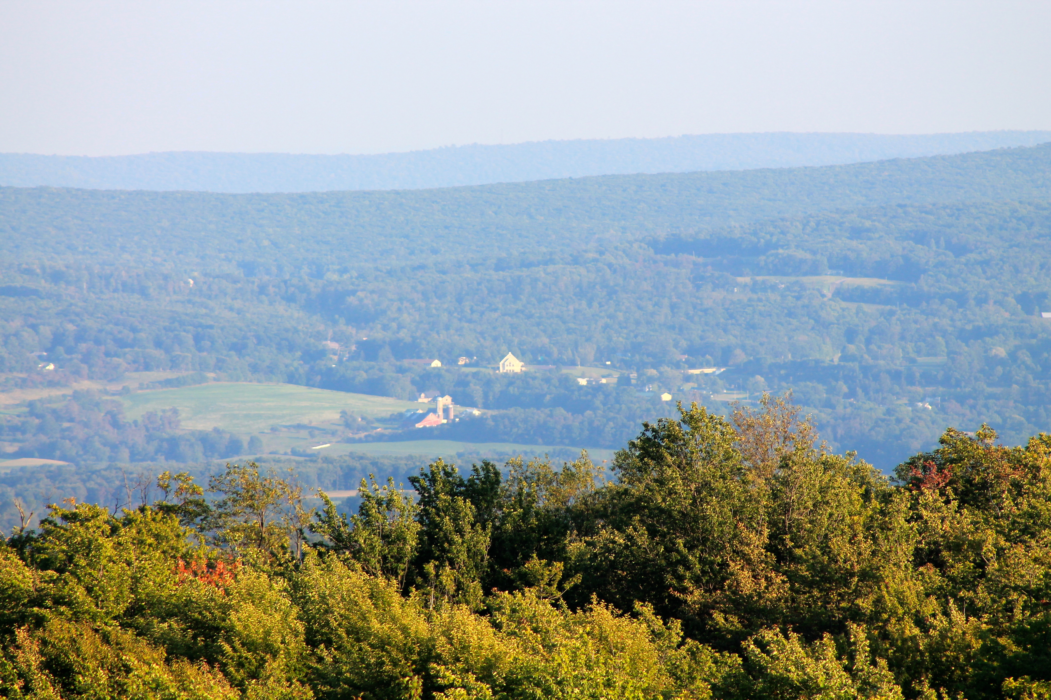
View from a Scenic Overlook on Garrett Highway (Route 219)

Deep Creek Lavender Farm

Youghiogheny River @ Confluence PA
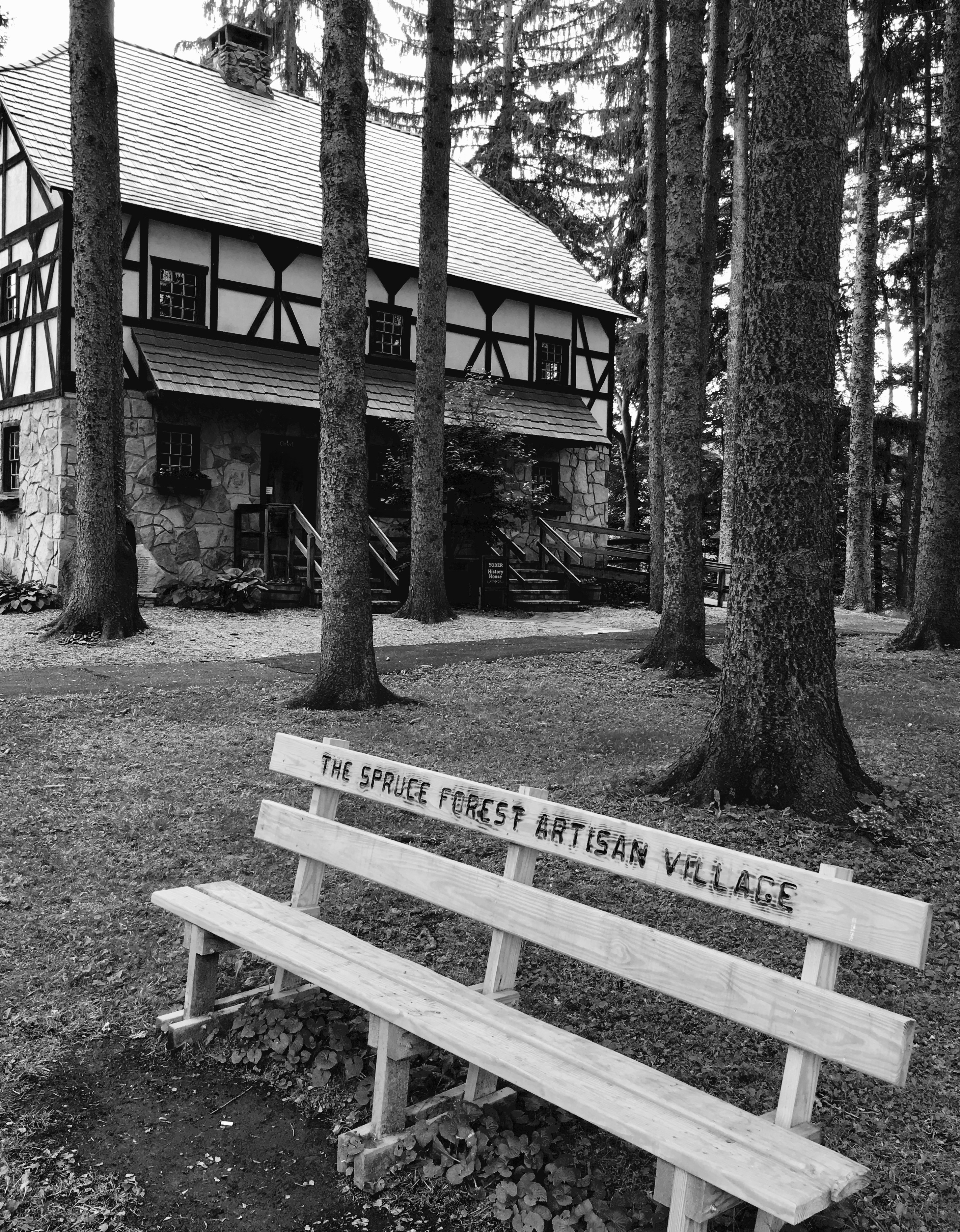
Spruce Forest Artisan Village

Deep Creek Lavender Farm

Farms and Mountains, a Panoramic View in Garrett County, Western Maryland

Fog in the Hills
View SE from Mt. Davis Fire Tower
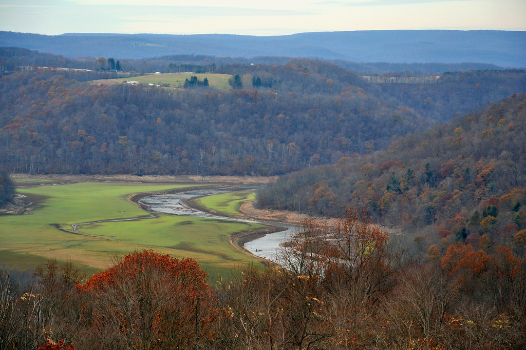
Youghiogheny River Valley

View west toward Laurel Ridge from Mt. Davis Fire Tower

G03 Confluence, PA

View toward Maryland from Mt. Davis Fire Tower

Red-necked Phalarope

View NE from Mt. Davis Fire Tower

Red-necked Phalarope

View east from Mt. Davis Fire Tower

Casselman River
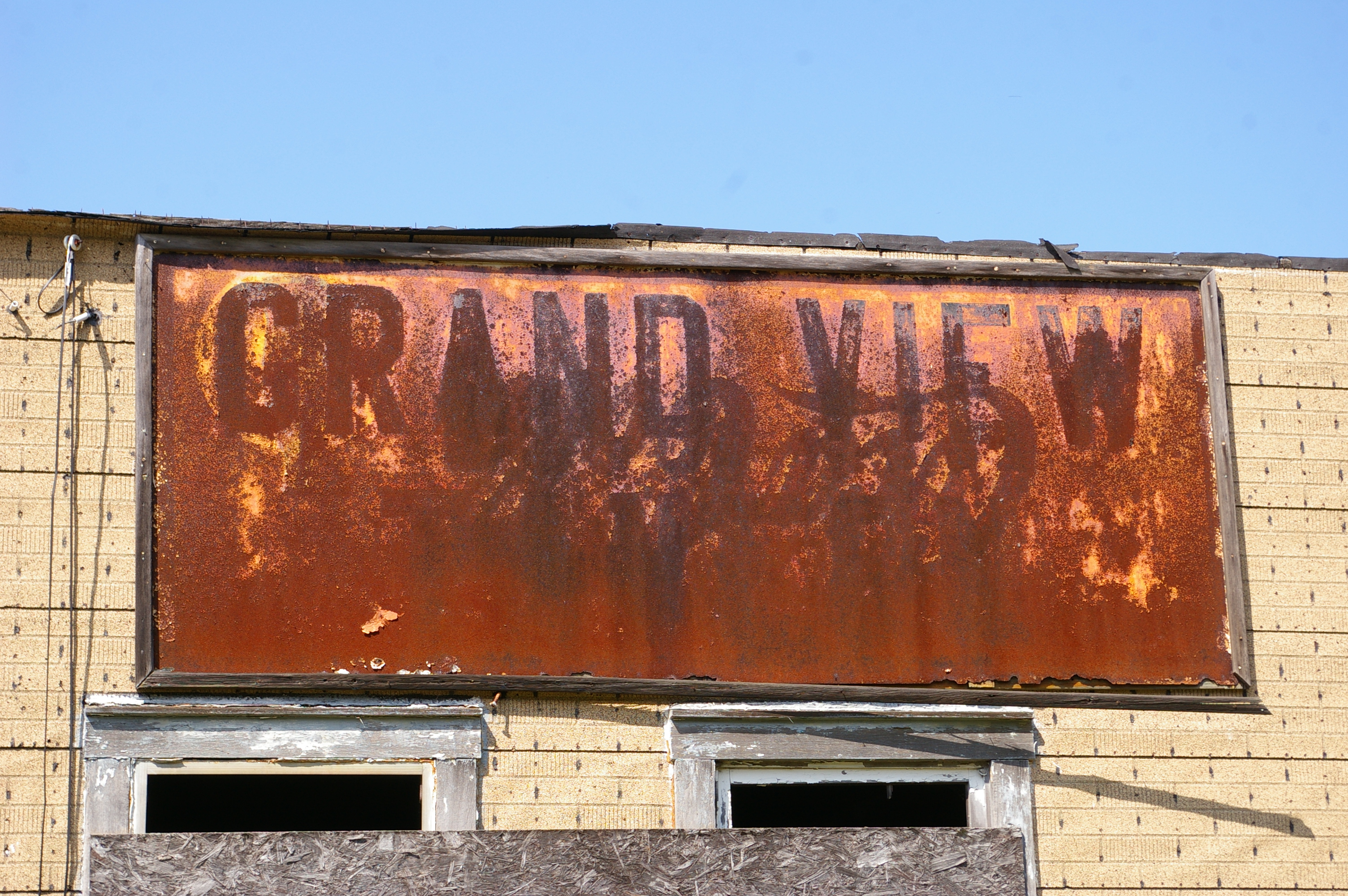
Grand View Tavern, Maryland

Grand View Tavern, Maryland

shoot anything that doesn't move

Yough Lake from the Bridge

The Great Crossings Bridge

Mountain Morning Mist - Explore 2-12

Westbound, Pinkerton

Farm in the Laurel Highlands
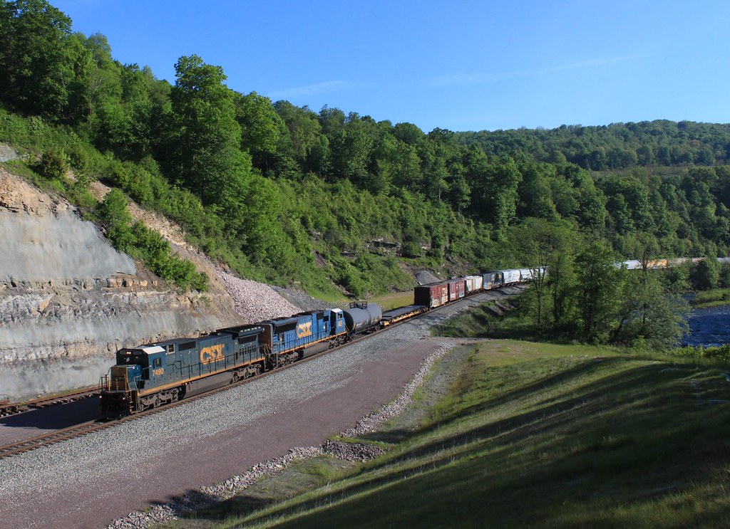
Westbound @ Pinkerton

Mysterious Forest

Farm in the Laurel Highlands

picnic table at Keysers Ridge, MD
20160706 023137 1SL6

Casselman River

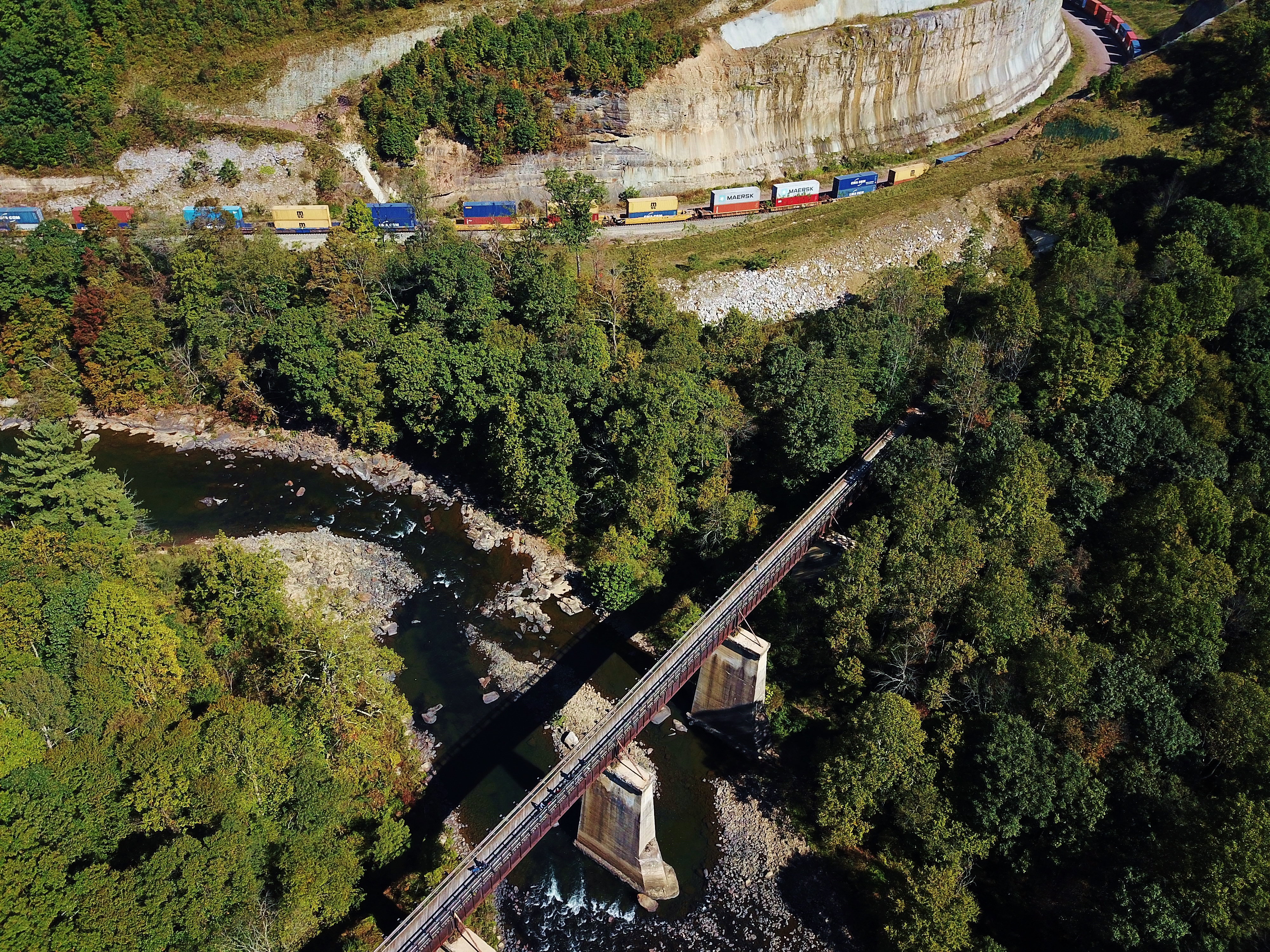
Pinkerton Tunnel Viaduct
Great Allegheny Passage (GAP) Trail, PA

Casselman River Bridge

Old National Road alignment, just west of PA 281, near Youghiogheny Lake
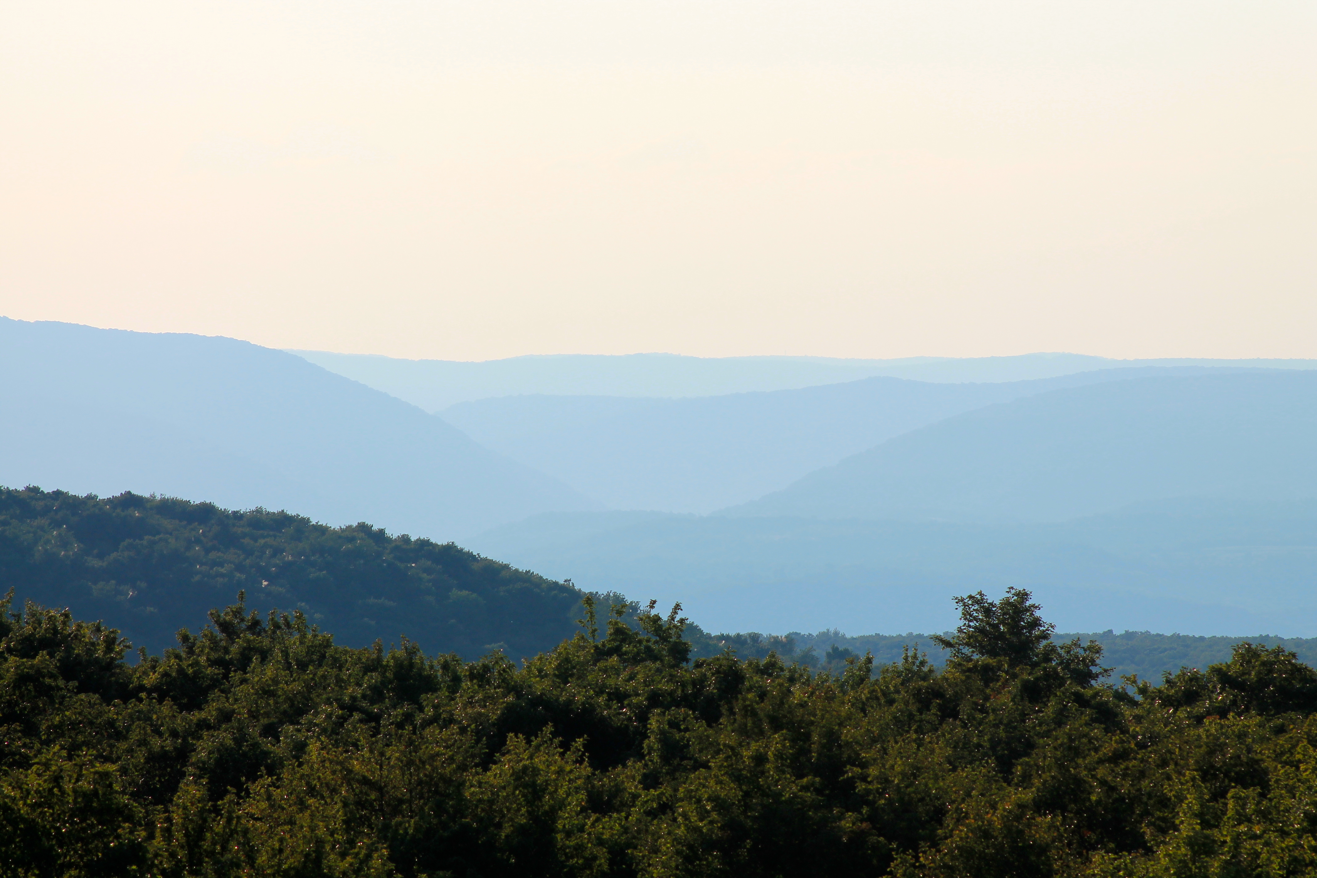
Youghiogheny River Gorge from Mt. Davis Fire Tower

James Drane House

James Drane House

Casselman Valley
Topographic Map of Hemlock Meadow Dr, Grantsville, MD, USA
Find elevation by address:

Places near Hemlock Meadow Dr, Grantsville, MD, USA:
2294 National Pike
Keysers Ridge
18 Grove Rd, Friendsville, MD, USA
706 Zehner Rd
Bowman Hill Road
3761 Friendsville Addison Rd
4838 Bear Creek Rd
5, Accident
Negro Mountain Church
Main Street
Accident
1726 Durst Rd
335 Stiff Rd
422 Root Beachy Rd
2, Friendsville
Bear Creek Court
107 Shade Hollow Rd
Friendsville
1562 Springs Rd
Negro Mountain Road
Recent Searches:
- Elevation of Corso Fratelli Cairoli, 35, Macerata MC, Italy
- Elevation of Tallevast Rd, Sarasota, FL, USA
- Elevation of 4th St E, Sonoma, CA, USA
- Elevation of Black Hollow Rd, Pennsdale, PA, USA
- Elevation of Oakland Ave, Williamsport, PA, USA
- Elevation of Pedrógão Grande, Portugal
- Elevation of Klee Dr, Martinsburg, WV, USA
- Elevation of Via Roma, Pieranica CR, Italy
- Elevation of Tavkvetili Mountain, Georgia
- Elevation of Hartfords Bluff Cir, Mt Pleasant, SC, USA