Elevation of Friendsville Addison Rd, Friendsville, MD, USA
Location: United States > Maryland > Garrett County > 2, Friendsville > Friendsville >
Longitude: -79.363862
Latitude: 39.707735
Elevation: 501m / 1644feet
Barometric Pressure: 95KPa
Elevation Map:
Satellite Map:
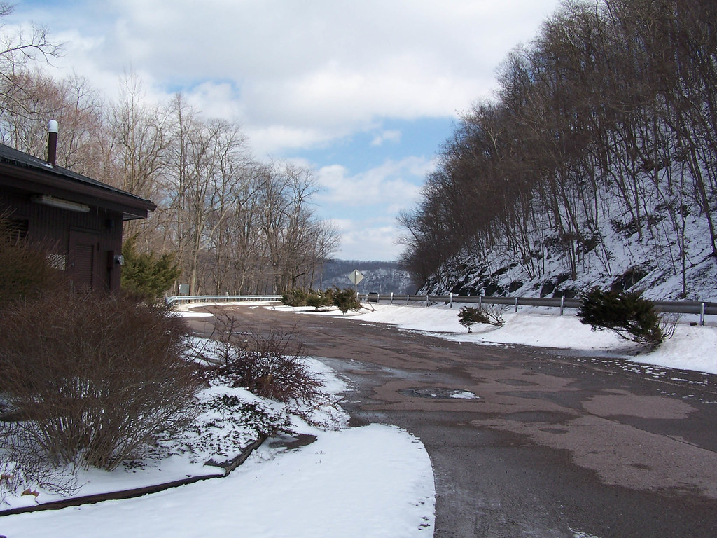
Related Photos:

Lower Humbert Bridge -- Somerset County, Pennsylvania
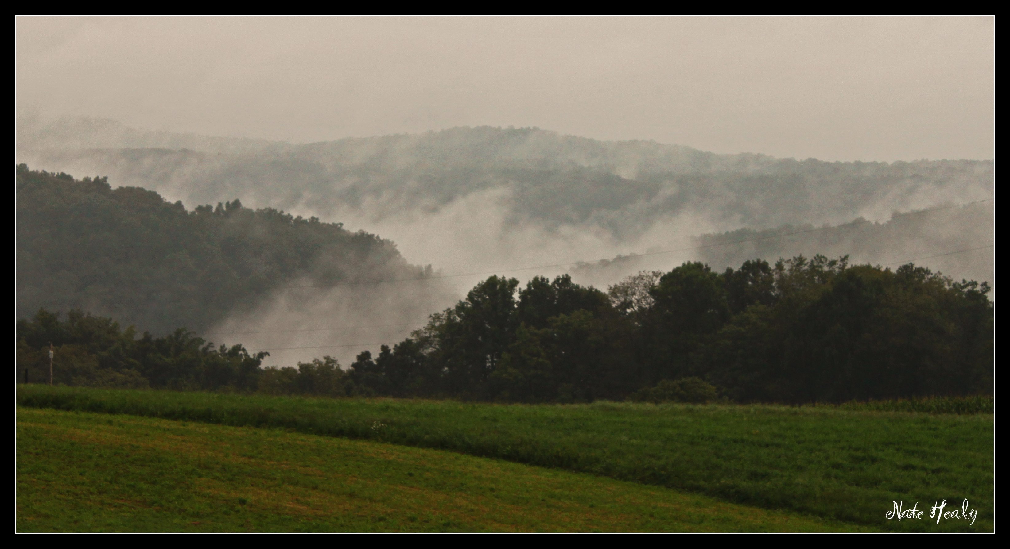
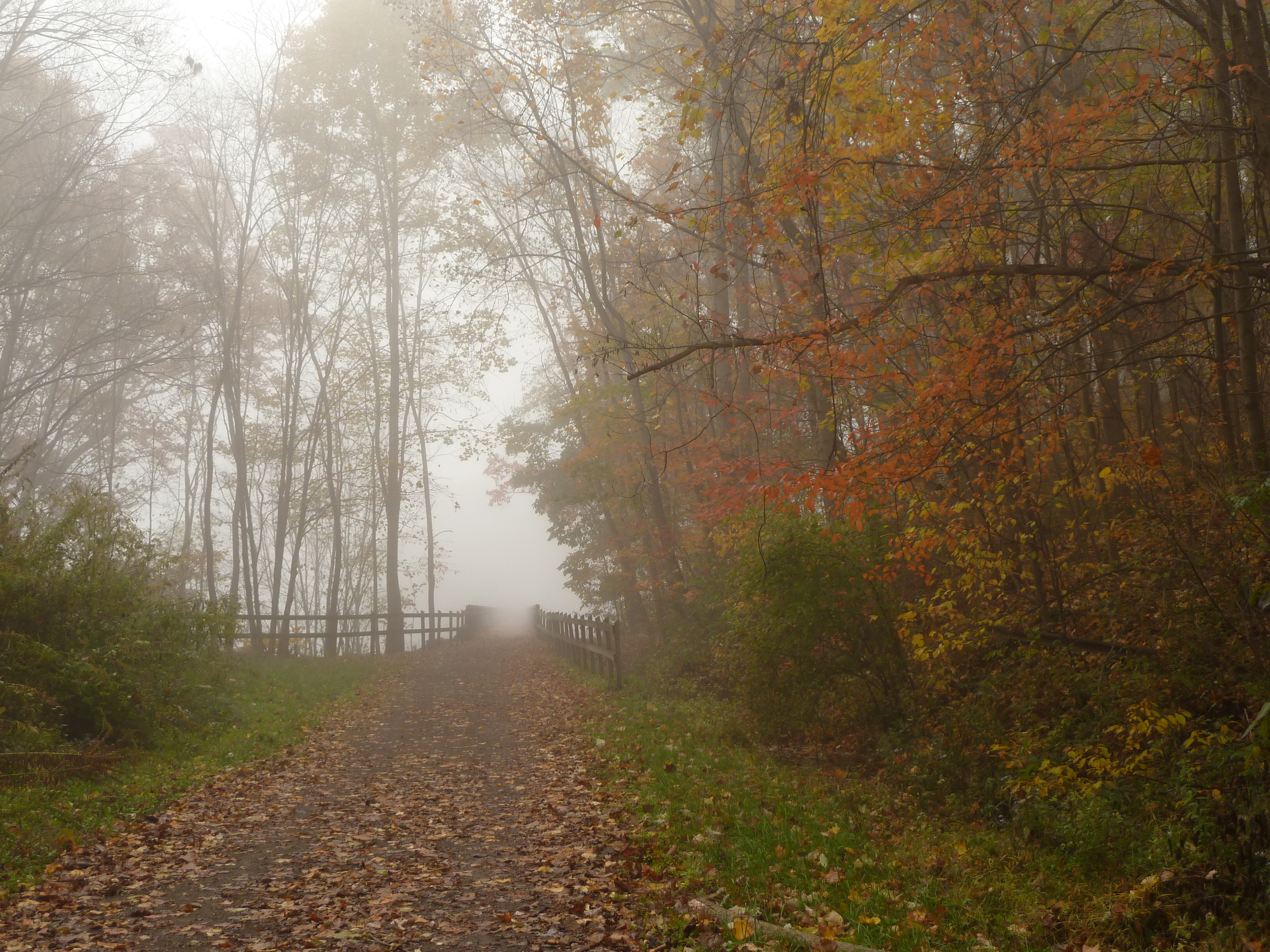
Fog in the Hills
Front Yard View
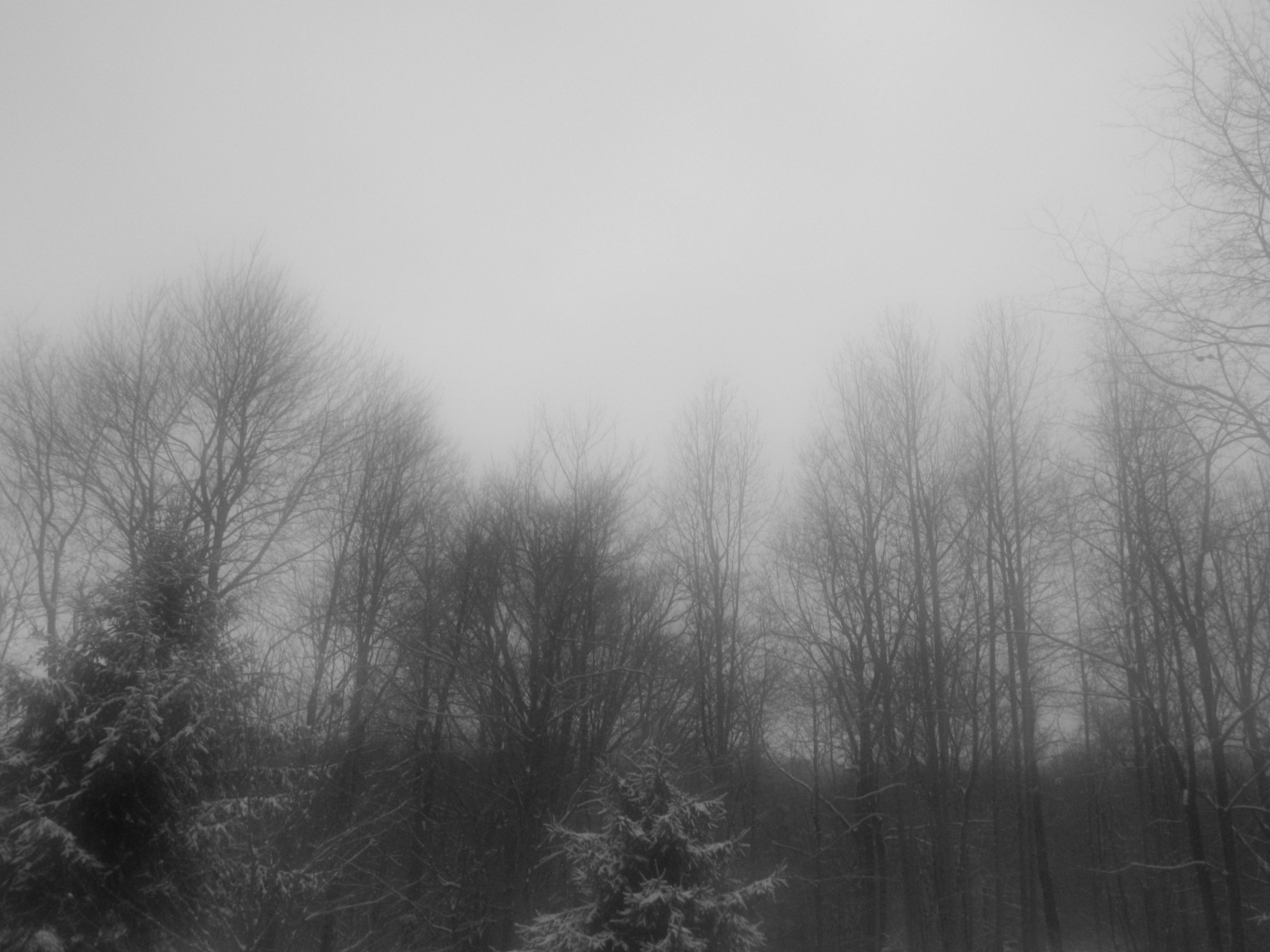
A View Through a Foggy Window
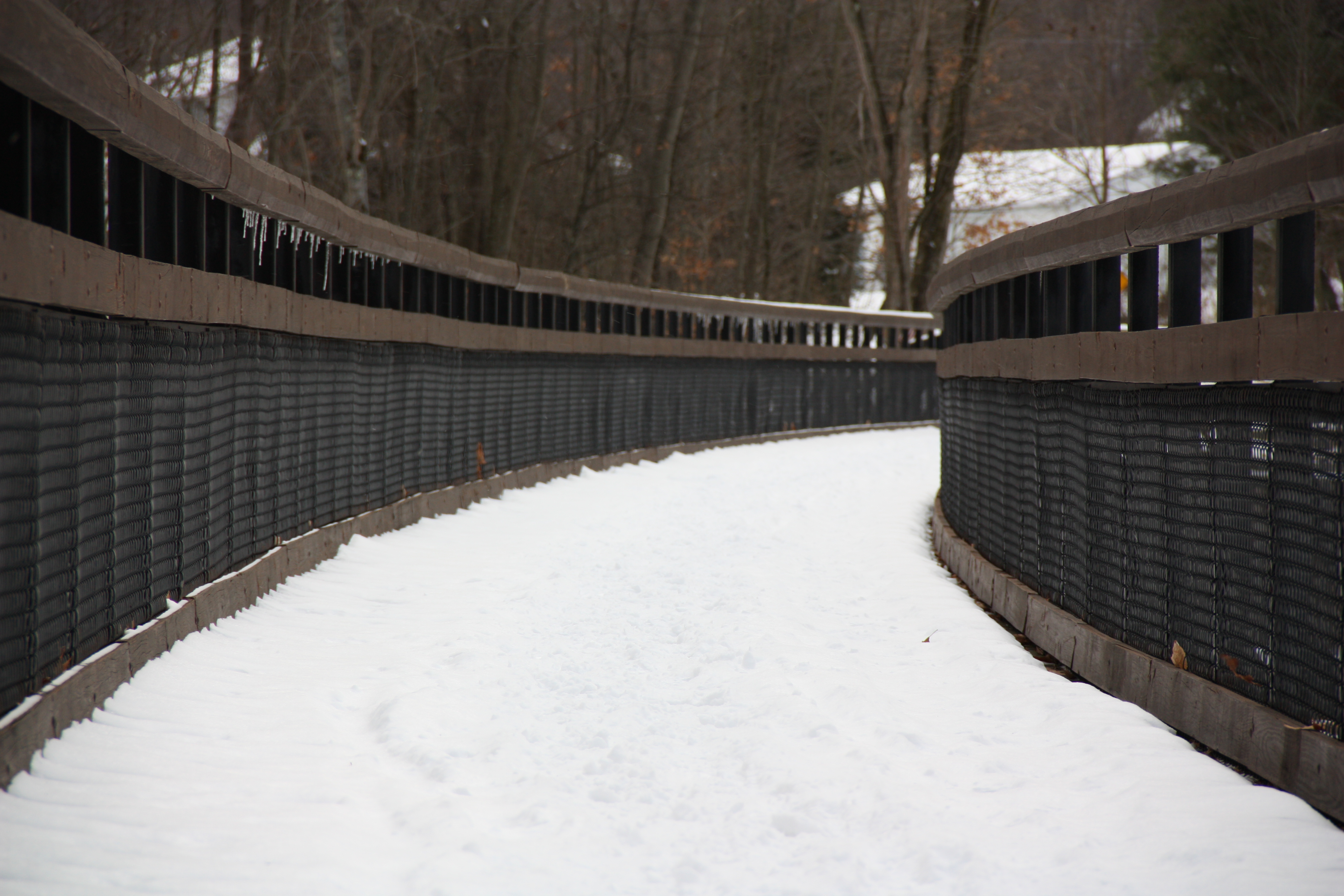
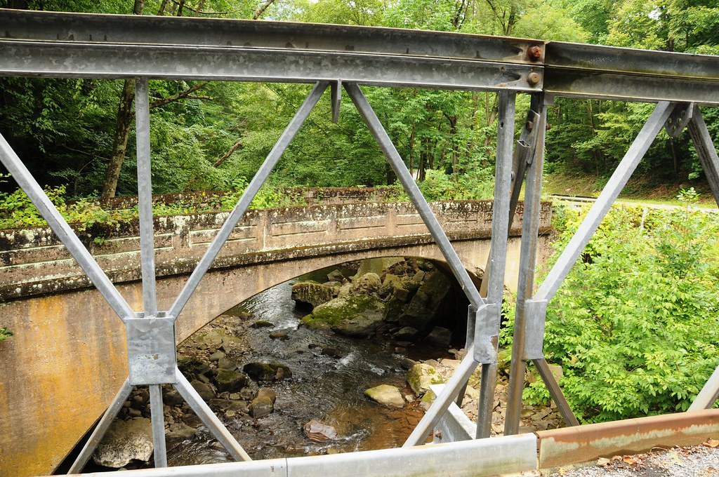
low view of the bridge
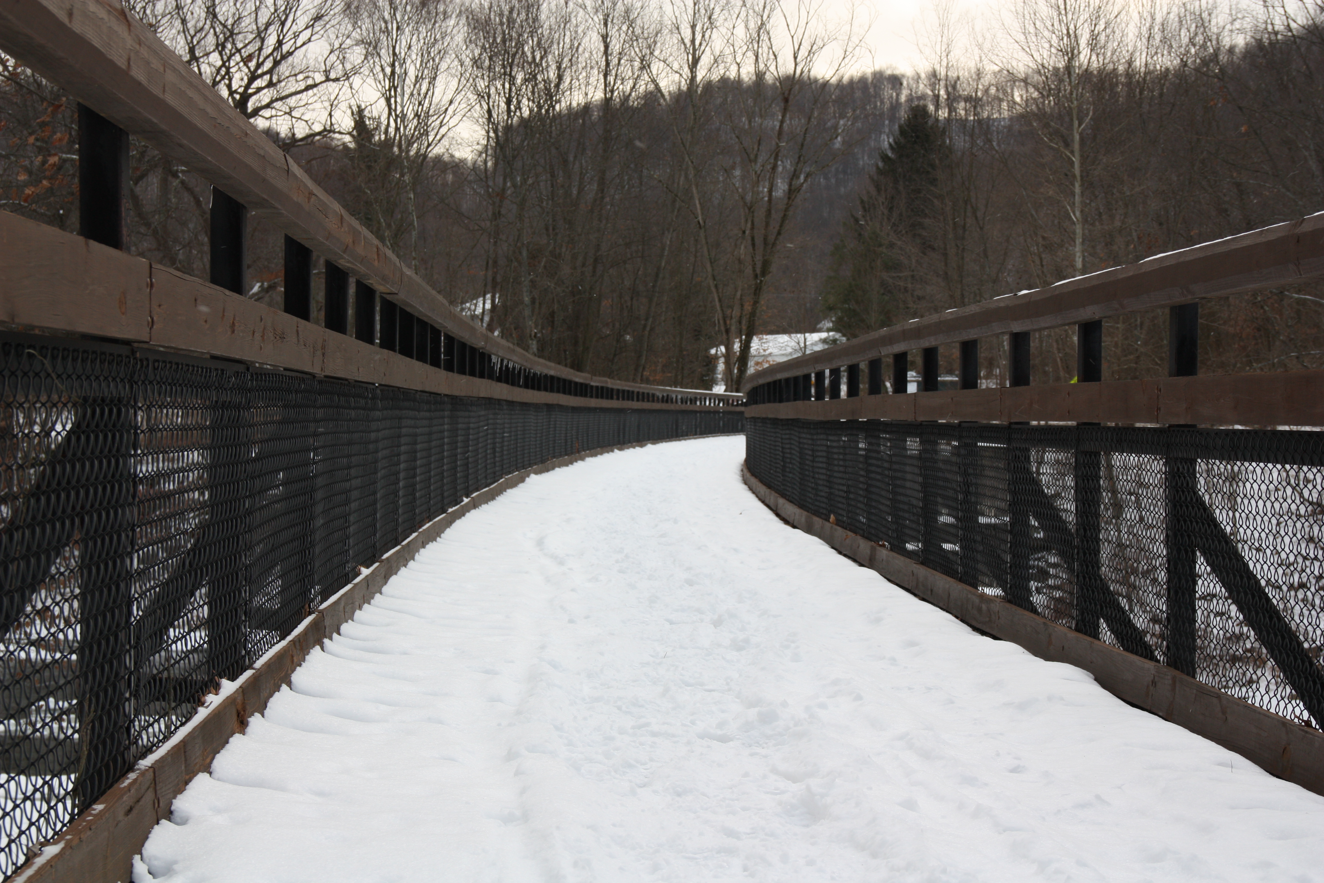
low view 2

"Totem Caterpilliar"
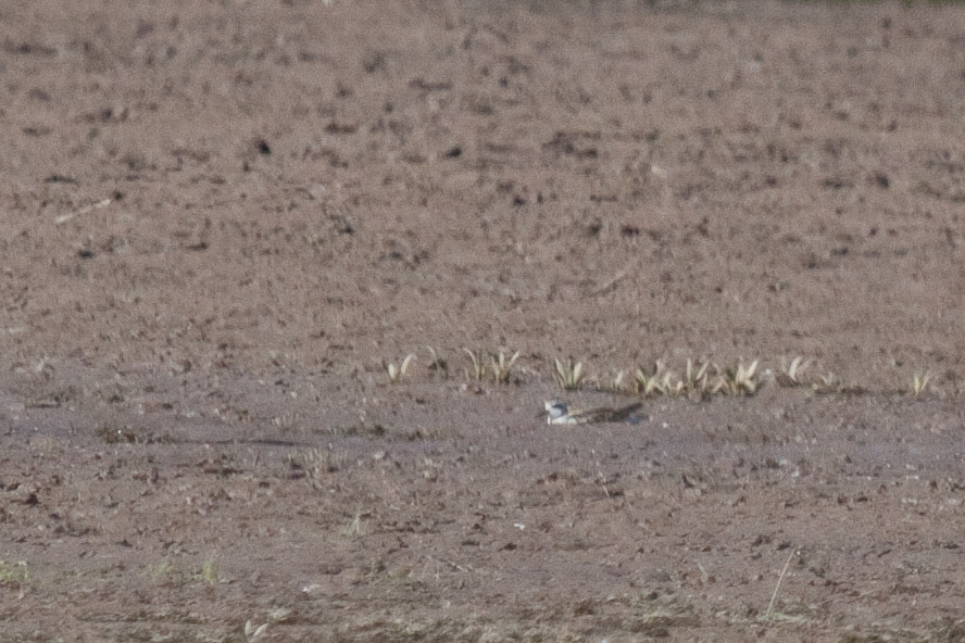
Red-necked Phalarope
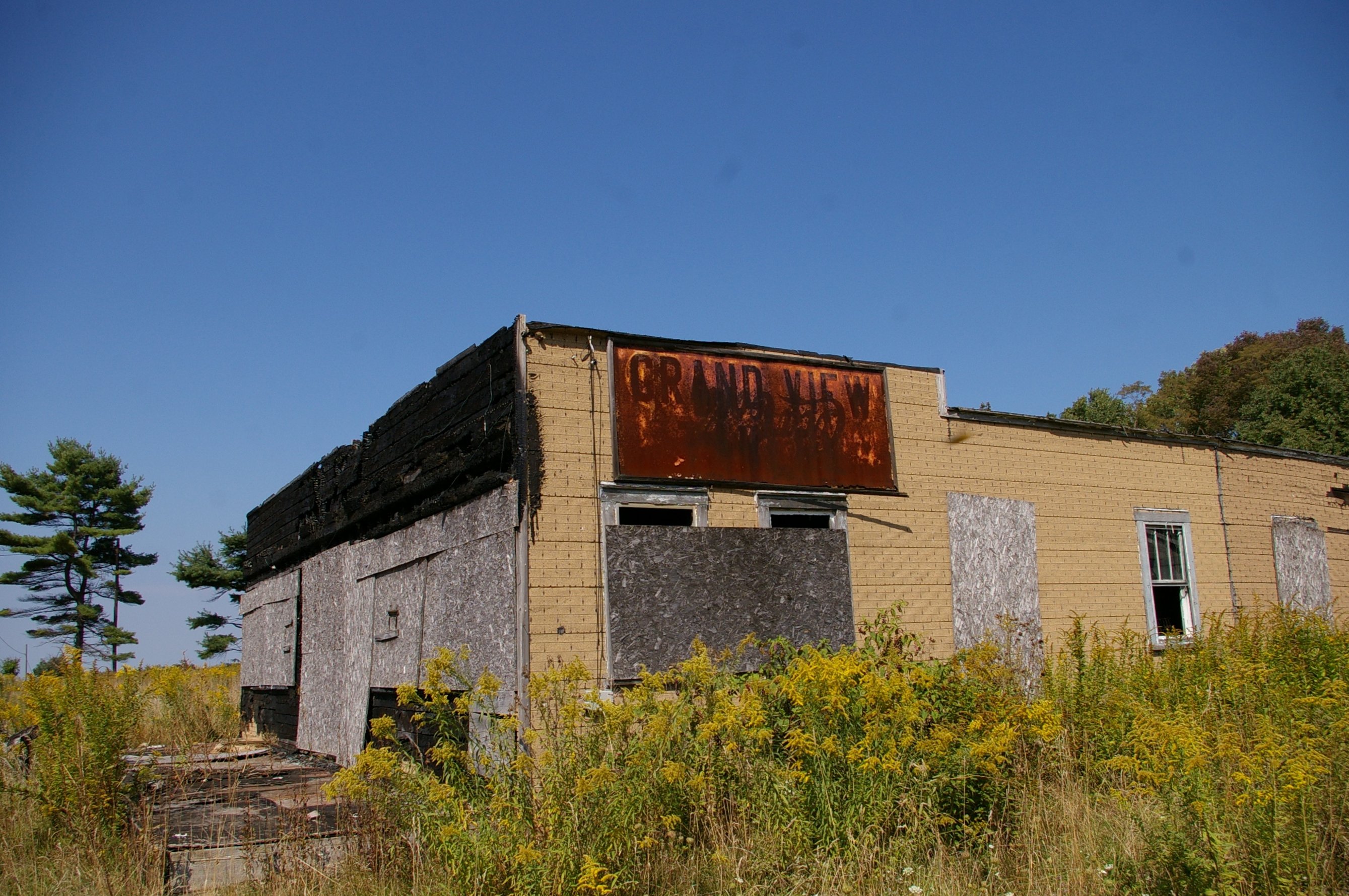
Grand View Tavern, Maryland

Red-necked Phalarope
Youghiogheny River Dam
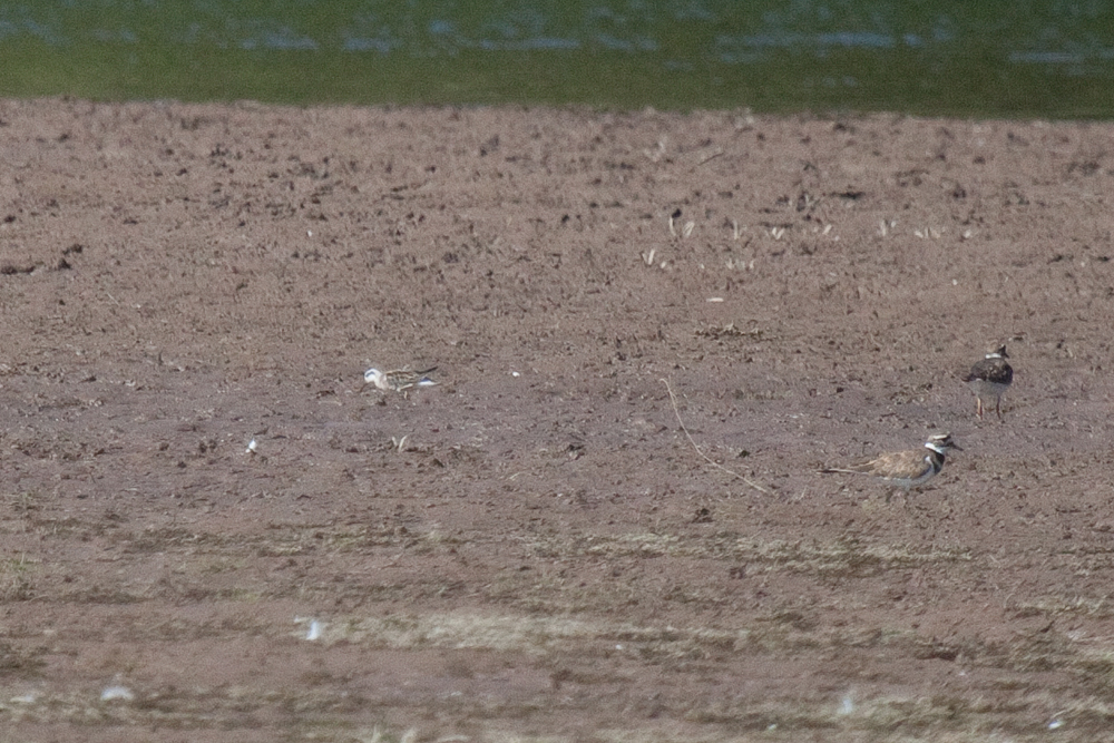
Red-necked Phalarope

Grand View Tavern, Maryland
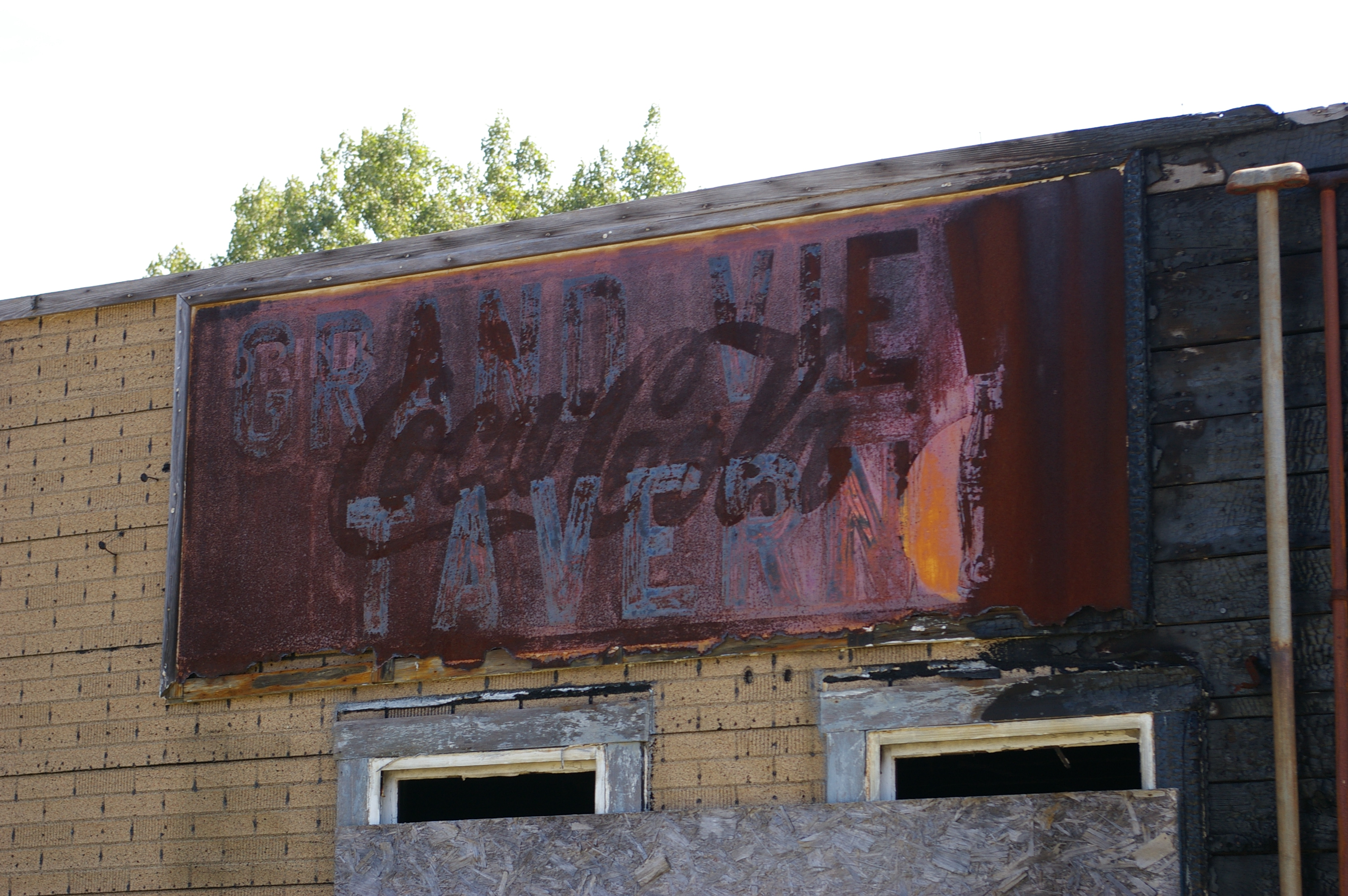
Grand View Tavern, Maryland
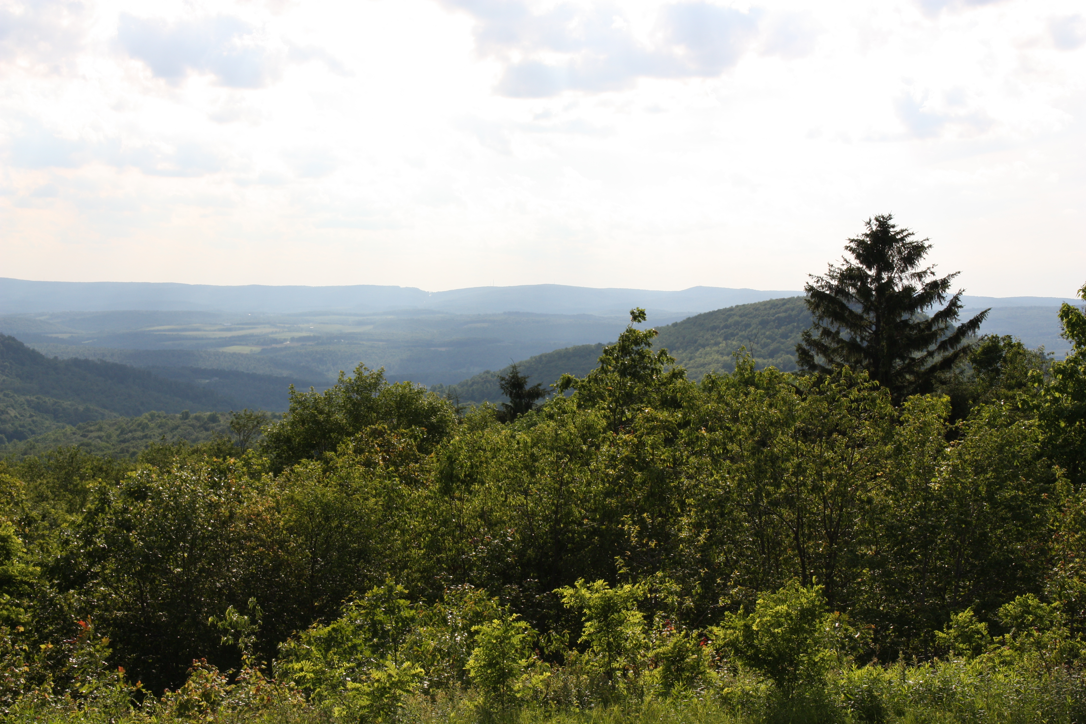
Mountian with a view
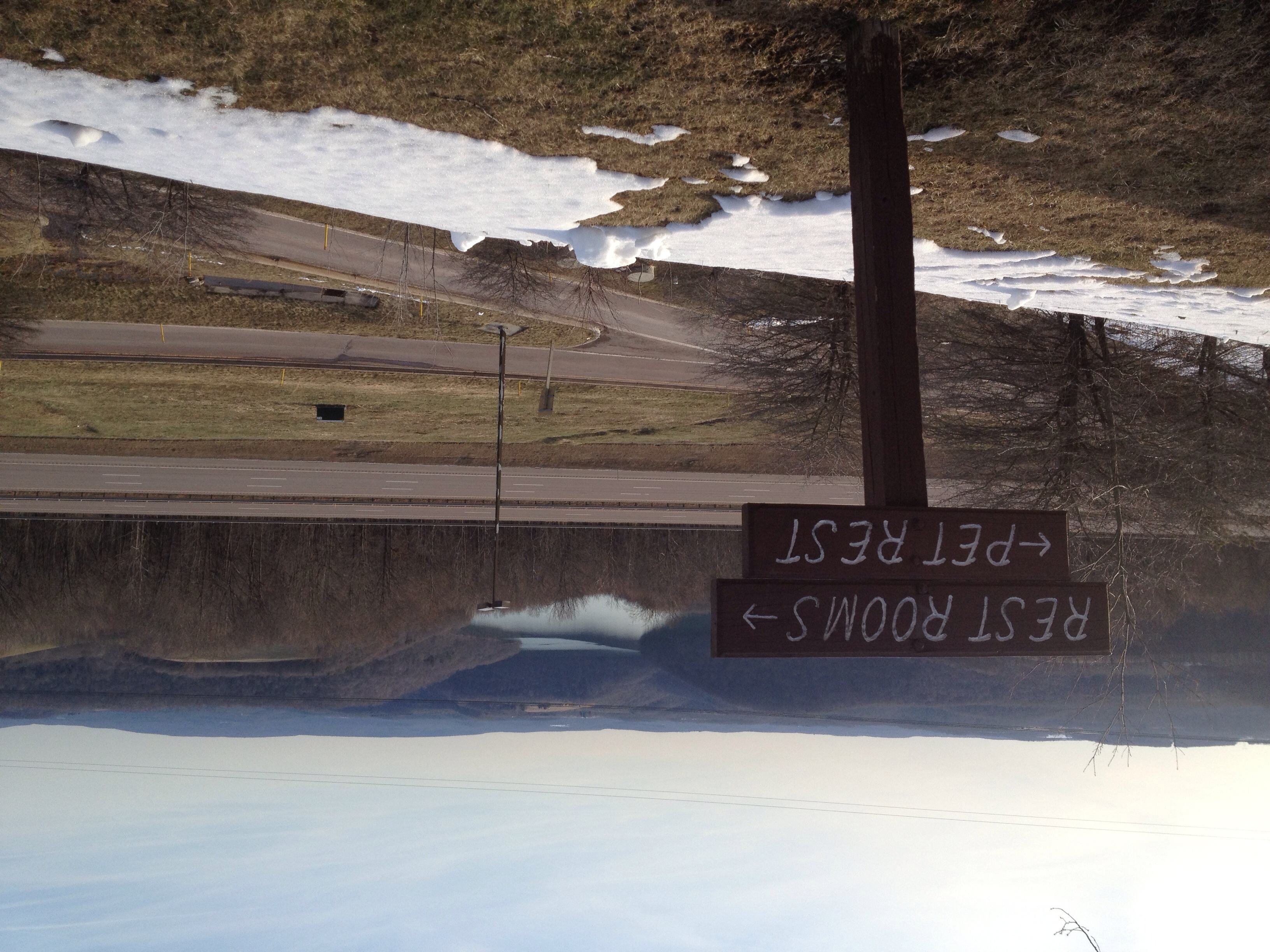
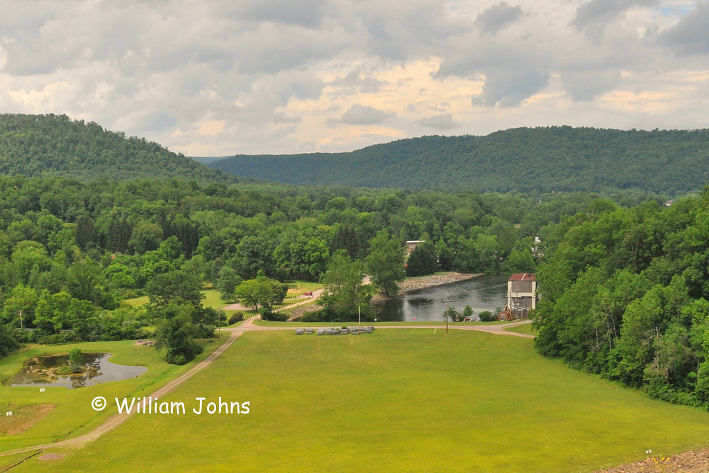
View from the Youghiogheny Overlook Welcome Center in Maryland
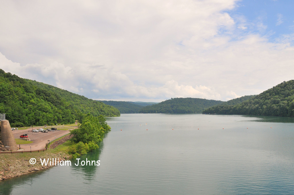
Youghiogheny River Lake
Lunch time view
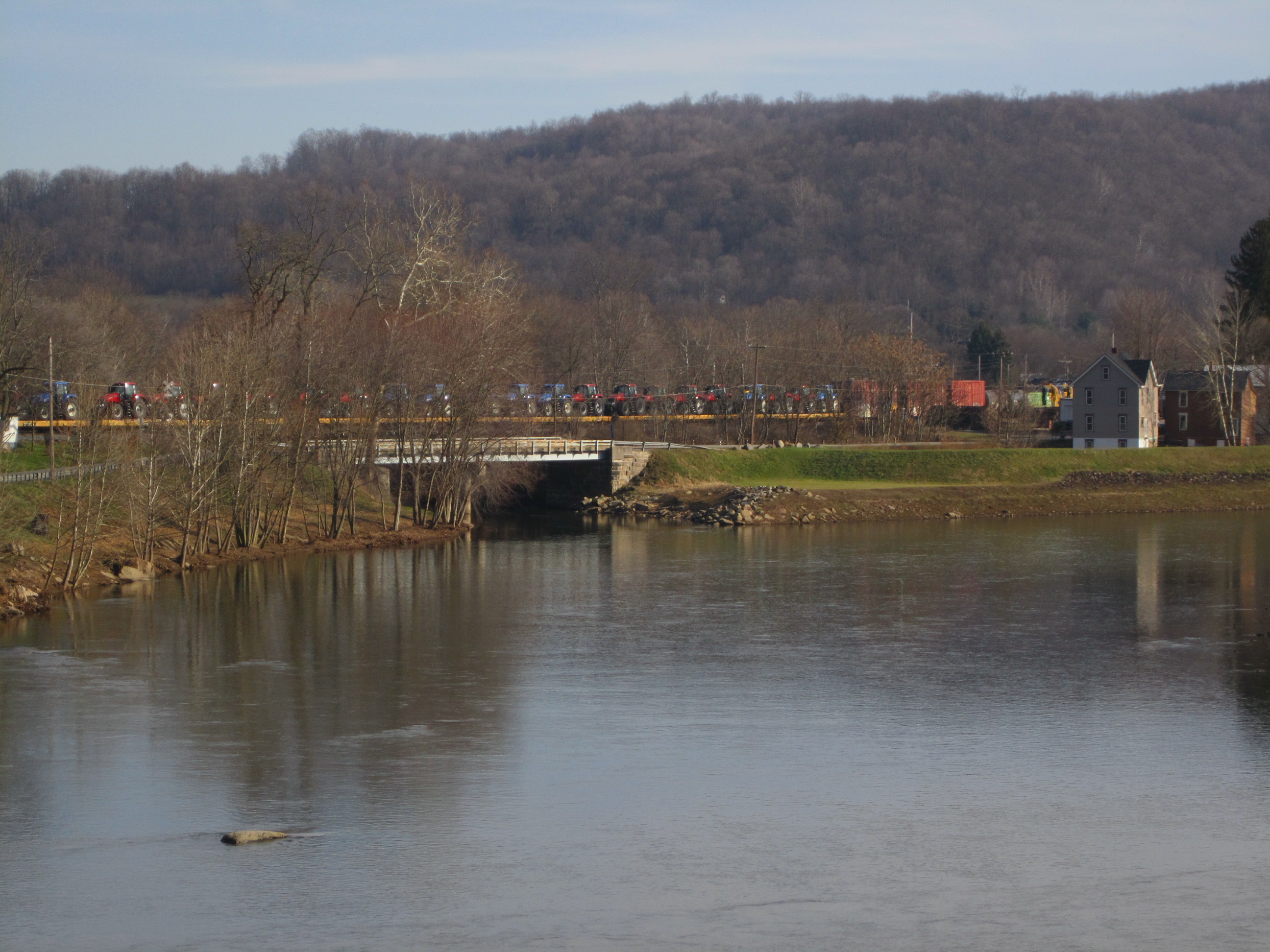
Old bridge viewed from new bridge on Accident Friendsville Road
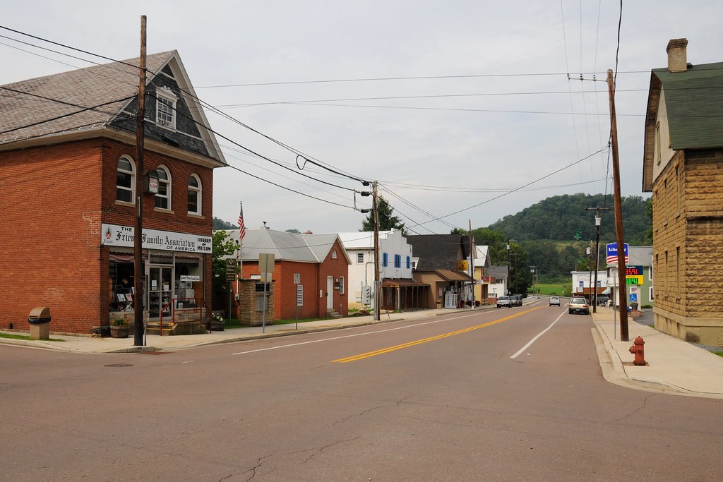
View of Maple Street from 1st Avenue
2012-06-27 (23) Maryland I-68
Cucumber Falls
Muddy Creek Falls

DSC00371-2

Bear Creek -- Garrett County, Maryland
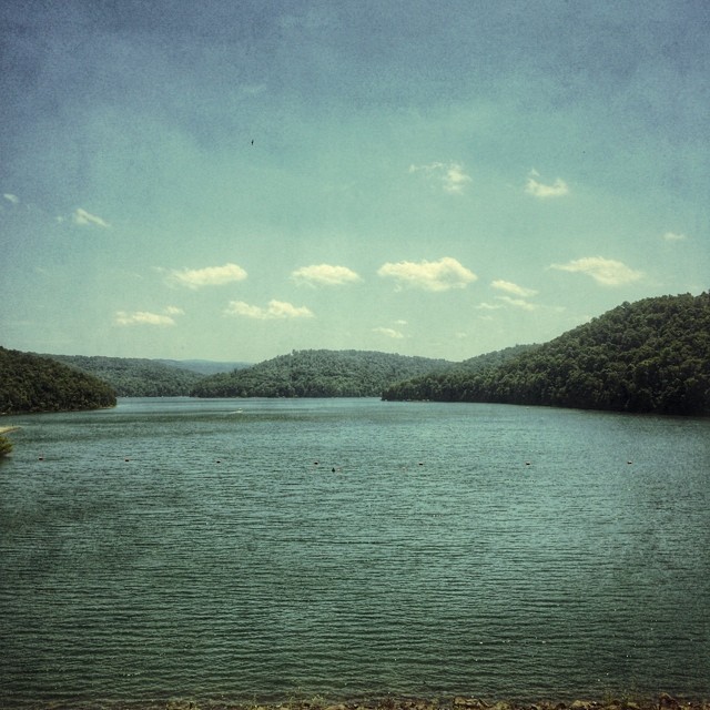
Youghiougheny Reservoir
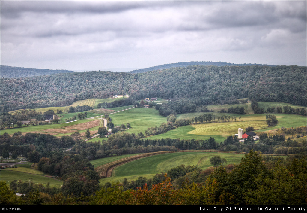
Last Day Of Summer In Garrett County

Forgot how beautiful fall was.
MD sunset

Youghiogheny River Lake PA - 2013-09-09 (20)
DSC_2365.JPG
CJoy-8860

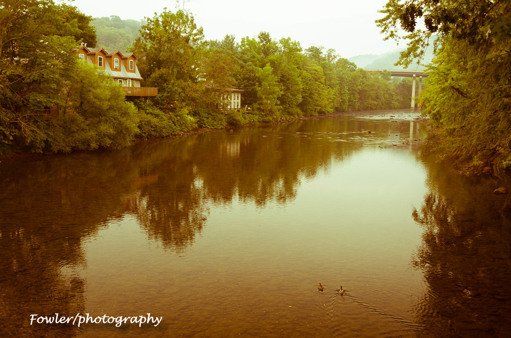
Youghiogheny River

Solar System Seeds
Fog shrouding the trail at Confluence, PA

Ohiopyle State Park PA - 2015-01-15 (35)
youghiogheny river
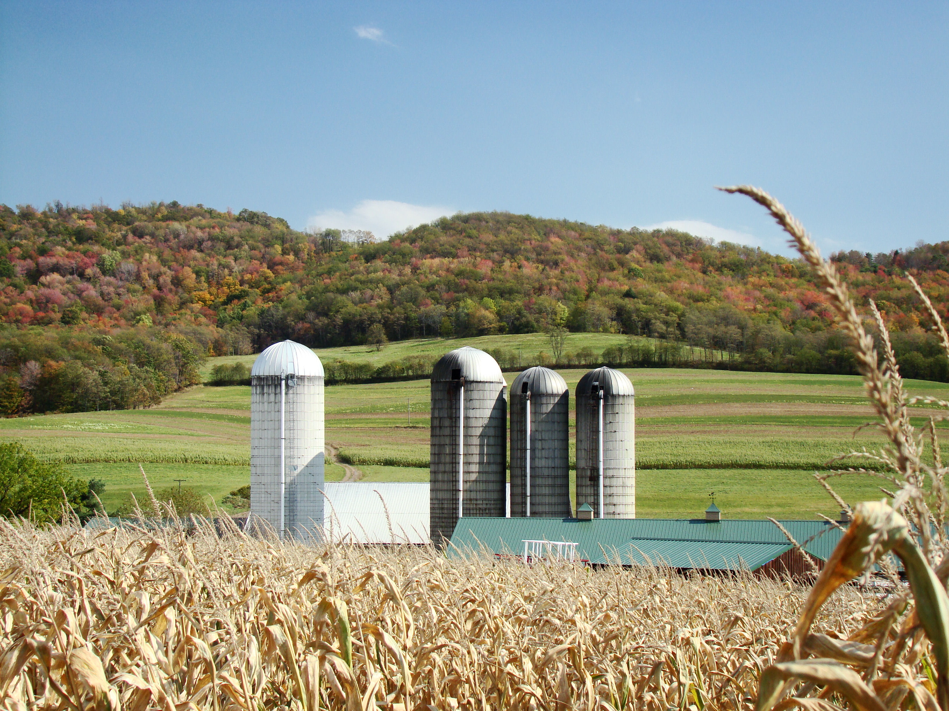
Farm at Corn Maze
#pennsylvania #lake
Jockey Hollow

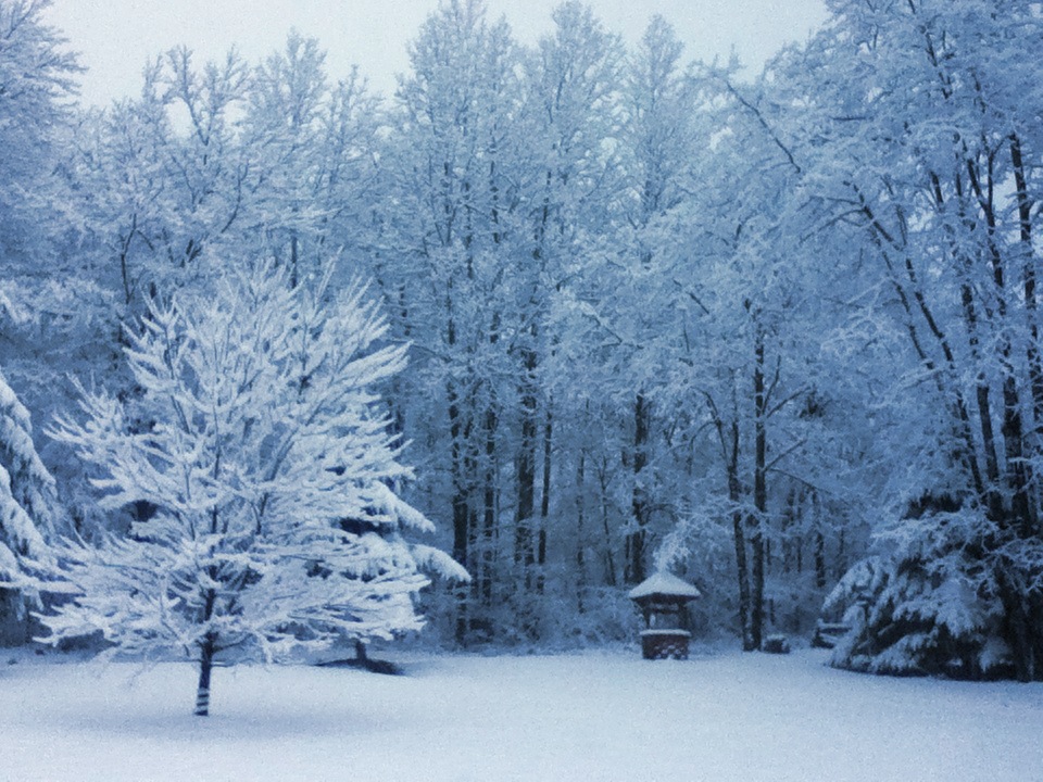
Winter Woods
Topographic Map of Friendsville Addison Rd, Friendsville, MD, USA
Find elevation by address:

Places near Friendsville Addison Rd, Friendsville, MD, USA:
18 Grove Rd, Friendsville, MD, USA
335 Stiff Rd
2, Friendsville
4838 Bear Creek Rd
Bear Creek Court
Friendsville
305 Hemlock Meadow Dr
Asher Glade
2294 National Pike
Main Street
Accident
5, Accident
Keysers Ridge
Bowman Hill Road
Negro Mountain Road
44 Bobs Ln
706 Zehner Rd
Negro Mountain Church
254 Klotz Farm Dr
Mchenry
Recent Searches:
- Elevation of Corso Fratelli Cairoli, 35, Macerata MC, Italy
- Elevation of Tallevast Rd, Sarasota, FL, USA
- Elevation of 4th St E, Sonoma, CA, USA
- Elevation of Black Hollow Rd, Pennsdale, PA, USA
- Elevation of Oakland Ave, Williamsport, PA, USA
- Elevation of Pedrógão Grande, Portugal
- Elevation of Klee Dr, Martinsburg, WV, USA
- Elevation of Via Roma, Pieranica CR, Italy
- Elevation of Tavkvetili Mountain, Georgia
- Elevation of Hartfords Bluff Cir, Mt Pleasant, SC, USA