Elevation of Asher Glade, MD, USA
Location: United States > Maryland > Garrett County > 2, Friendsville >
Longitude: -79.447261
Latitude: 39.7039684
Elevation: 595m / 1952feet
Barometric Pressure: 94KPa
Elevation Map:
Satellite Map:
Related Photos:

Deep Creek Lavender Farm

Deep Creek Lavender Farm
Youghiogheny River Valley

Grand View Tavern, Maryland

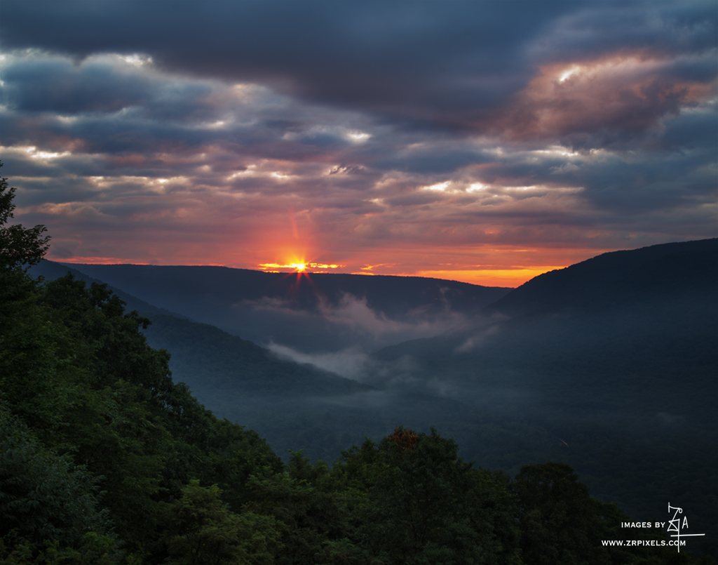
West Virginia View

West Virginia View
Baughman's Rock

"Everything has beauty, but not everyone sees it."

Snowy Owl

Mt. View

Snowy Owl feeding

Red-necked Phalarope

Red-necked Phalarope

Red-necked Phalarope

G03 Confluence

Grand View Tavern, Maryland
View from 3rd floor

Grand View Tavern, Maryland

View from just outside of town

The Youghiogheny River Reservoir

The Youghiogheny River

Ohiopyle State Park

The Great Crossings Bridge

Last Day Of Summer In Garrett County

David watches the ball fly

Youghiogheny River Lake

Youghiogheny River Lake

Casselman Valley

youghiogheny river

Baughman Rock overlook

Running overnight on the trails is not something I get to do often as a female. Thank you Ragnar for allowing me to push myself outside my comfort zone to become the stronger runner that I can be. Strength doesn't come from what you can do. It comes from
Cucumber Falls
Stuck in Between the Mountains (Baughman Rock overlook )

James Drane House

The Border HDR

Camp vibes

Kaese Mill
20160706 023137 1SL6

Confluence, Pennsylvania

Petersburg Tollhouse

James Drane House
Topographic Map of Asher Glade, MD, USA
Find elevation by address:

Places near Asher Glade, MD, USA:
2, Friendsville
Friendsville
335 Stiff Rd
Bear Creek Court
3761 Friendsville Addison Rd
18 Grove Rd, Friendsville, MD, USA
4838 Bear Creek Rd
Main Street
Accident
5, Accident
305 Hemlock Meadow Dr
44 Bobs Ln
2294 National Pike
6, Sang Run
Negro Mountain Road
Mchenry
254 Klotz Farm Dr
Bowman Hill Road
Keysers Ridge
761 Limpopo Ln
Recent Searches:
- Elevation of Corso Fratelli Cairoli, 35, Macerata MC, Italy
- Elevation of Tallevast Rd, Sarasota, FL, USA
- Elevation of 4th St E, Sonoma, CA, USA
- Elevation of Black Hollow Rd, Pennsdale, PA, USA
- Elevation of Oakland Ave, Williamsport, PA, USA
- Elevation of Pedrógão Grande, Portugal
- Elevation of Klee Dr, Martinsburg, WV, USA
- Elevation of Via Roma, Pieranica CR, Italy
- Elevation of Tavkvetili Mountain, Georgia
- Elevation of Hartfords Bluff Cir, Mt Pleasant, SC, USA