Elevation of Grantsville, MD, USA
Location: United States > Maryland > Garrett County > 3, Grantsville >
Longitude: -79.151141
Latitude: 39.6950833
Elevation: 706m / 2316feet
Barometric Pressure: 93KPa
Elevation Map:
Satellite Map:
Related Photos:
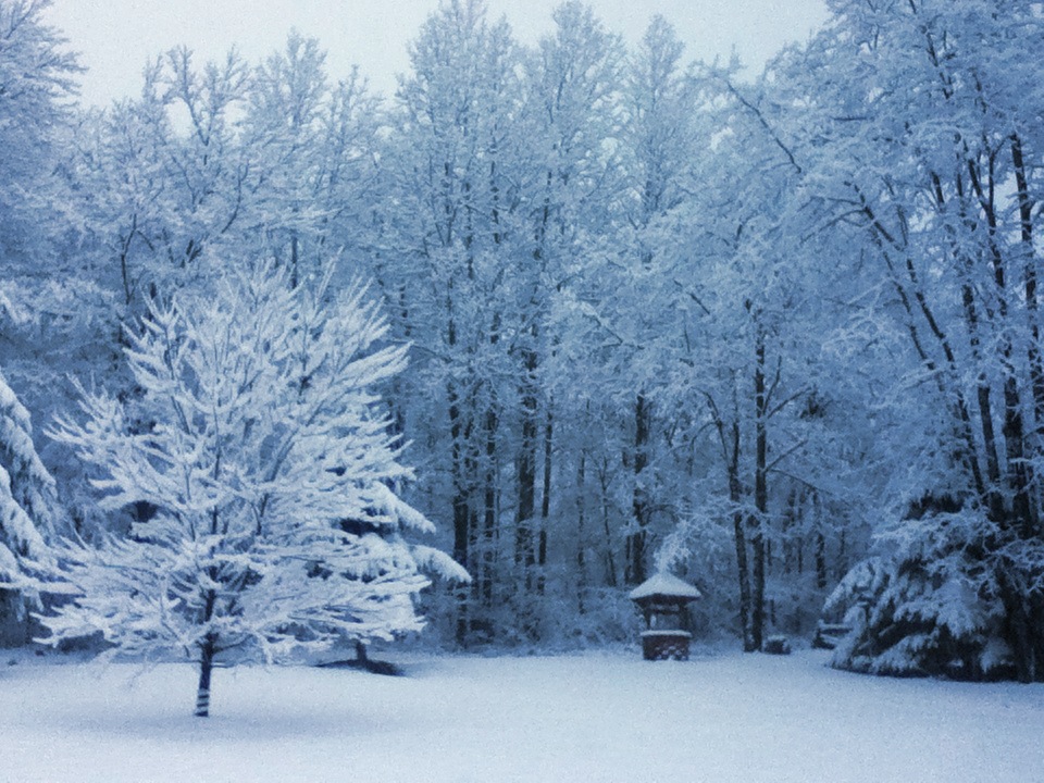
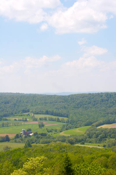
Front Yard View
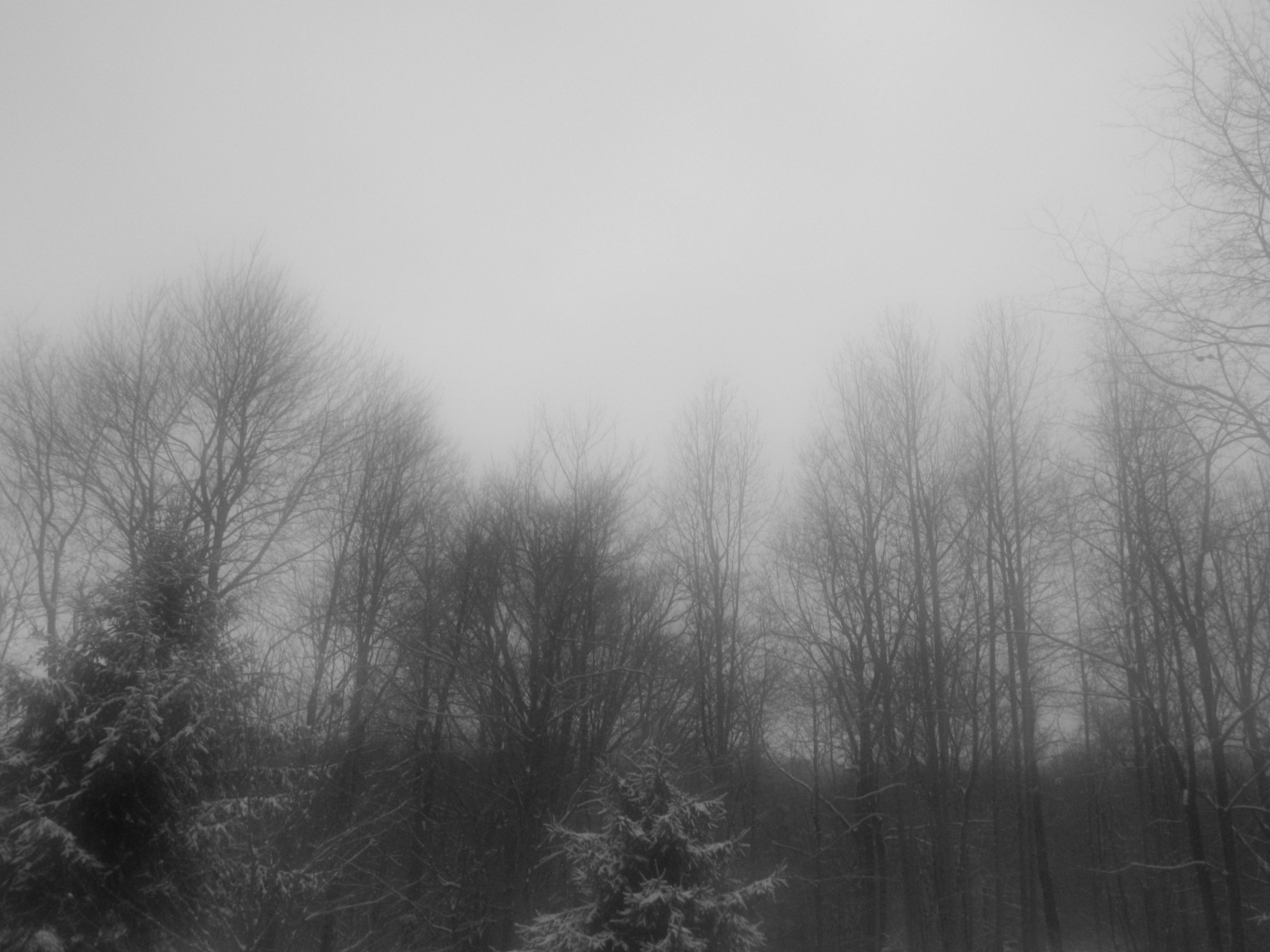
A View Through a Foggy Window
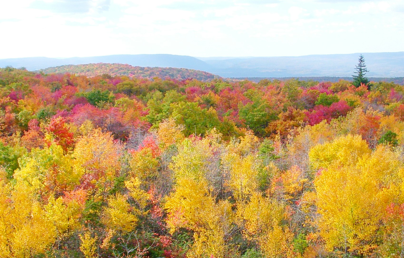
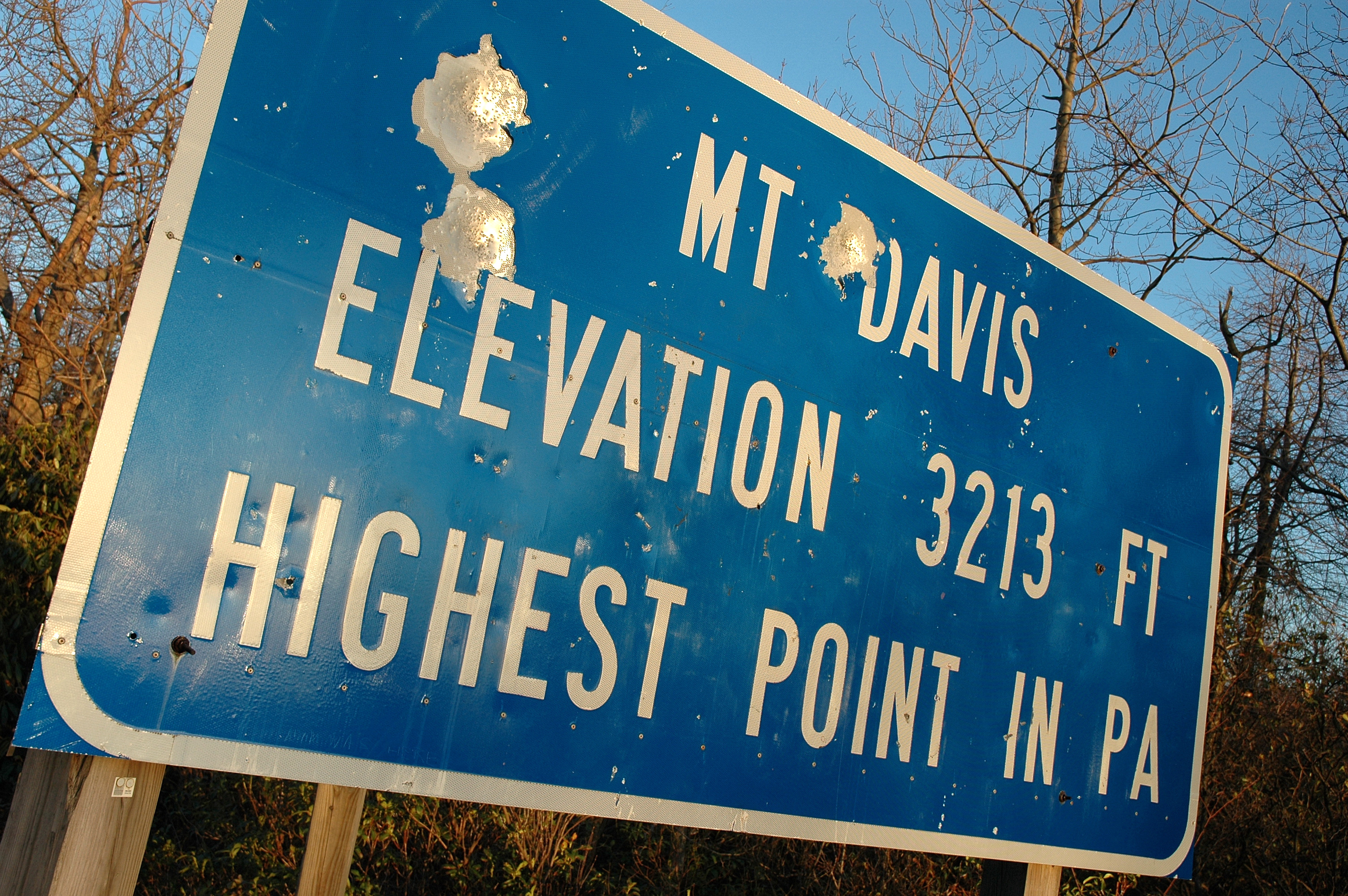
View From Mt. Davis
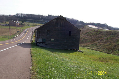
Old Johnson Barn
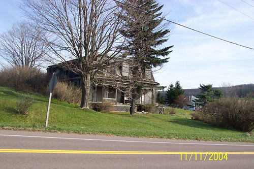
Thomas Johnson Farmhouse
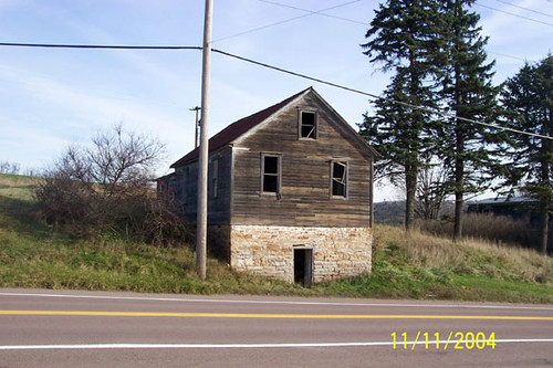
Thomas Johnson Shed
Westward View of the Johnson Farm Buildings

View SE from Mt. Davis Fire Tower
West approach to Casselman River Bridge
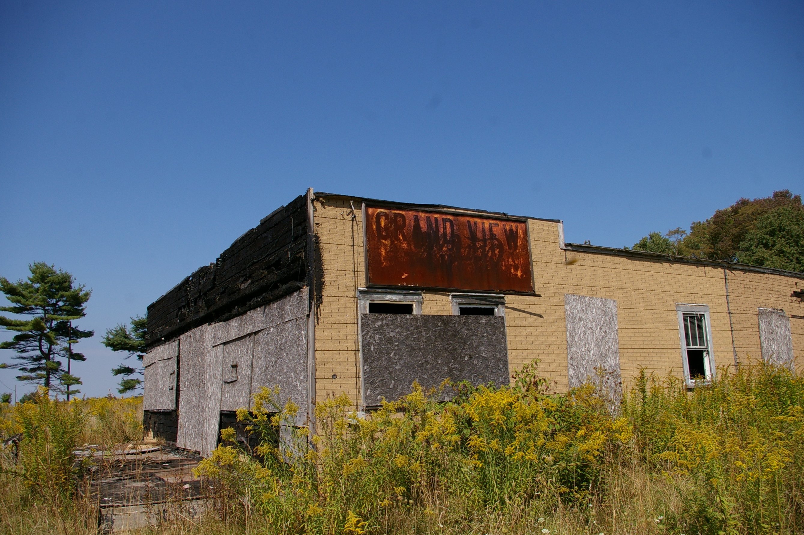
Grand View Tavern, Maryland
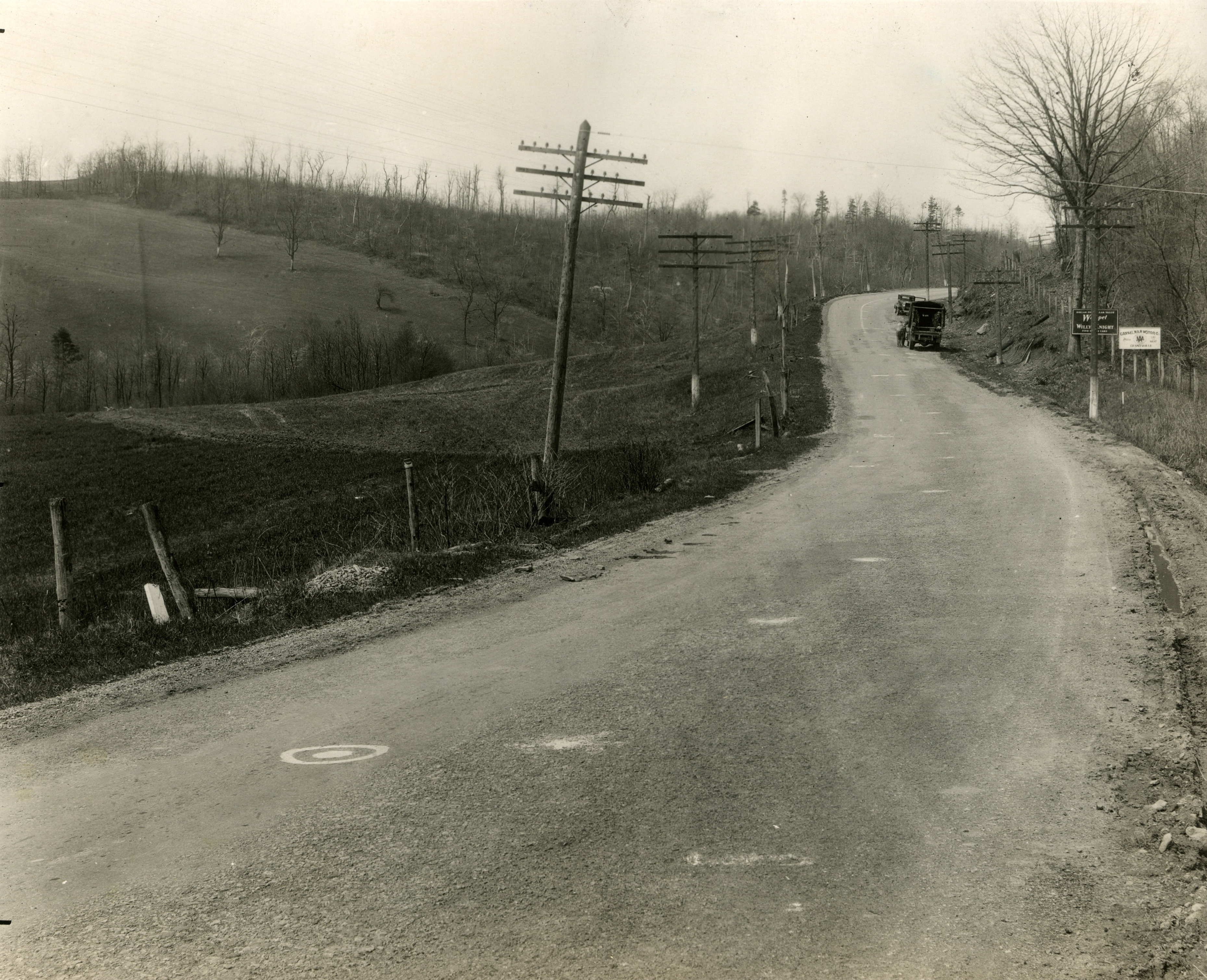
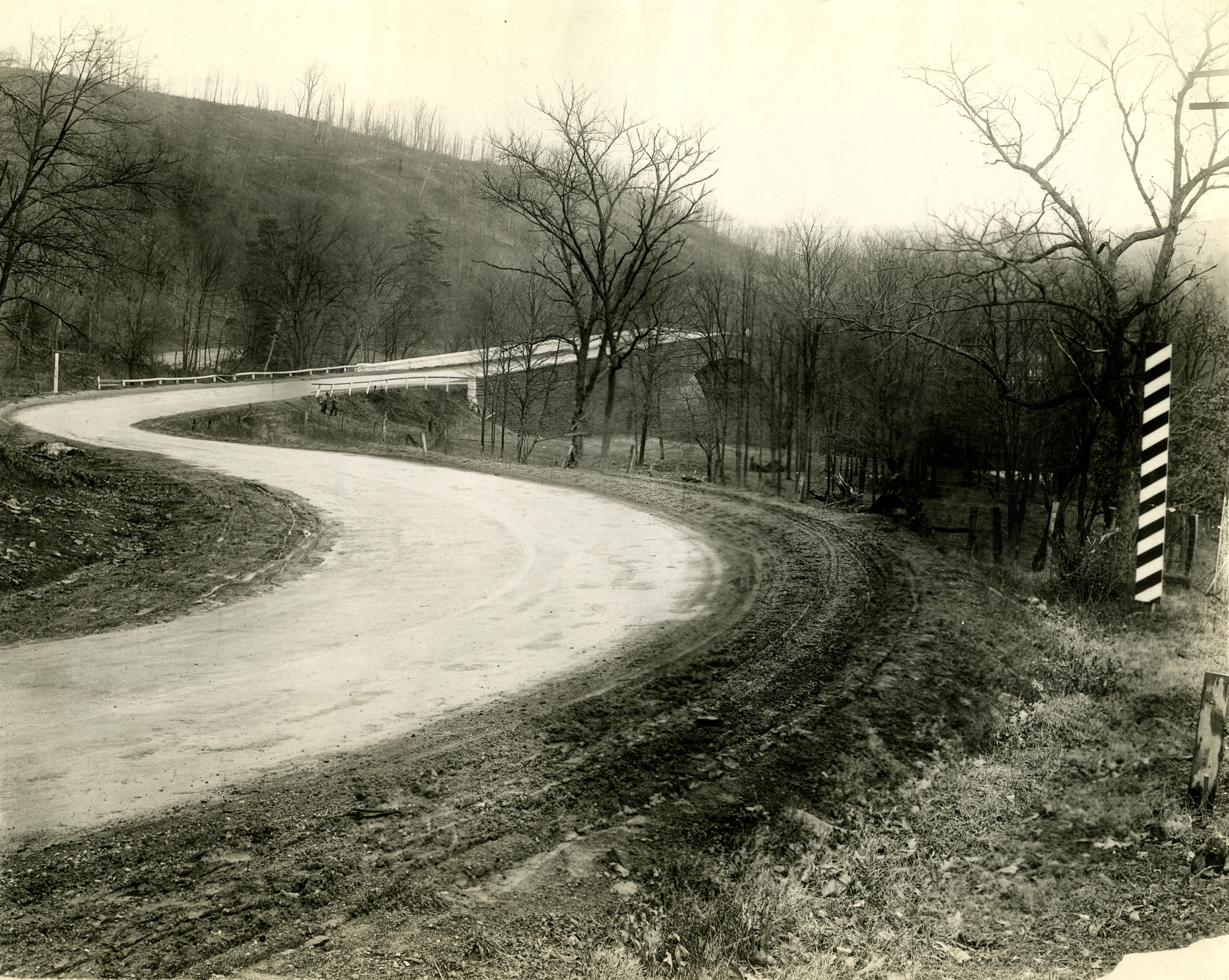
Just west of Turner’s Curve before grading
View NE from Mt. Davis Fire Tower

East approach to Casselman River Bridge

Greater Scaup
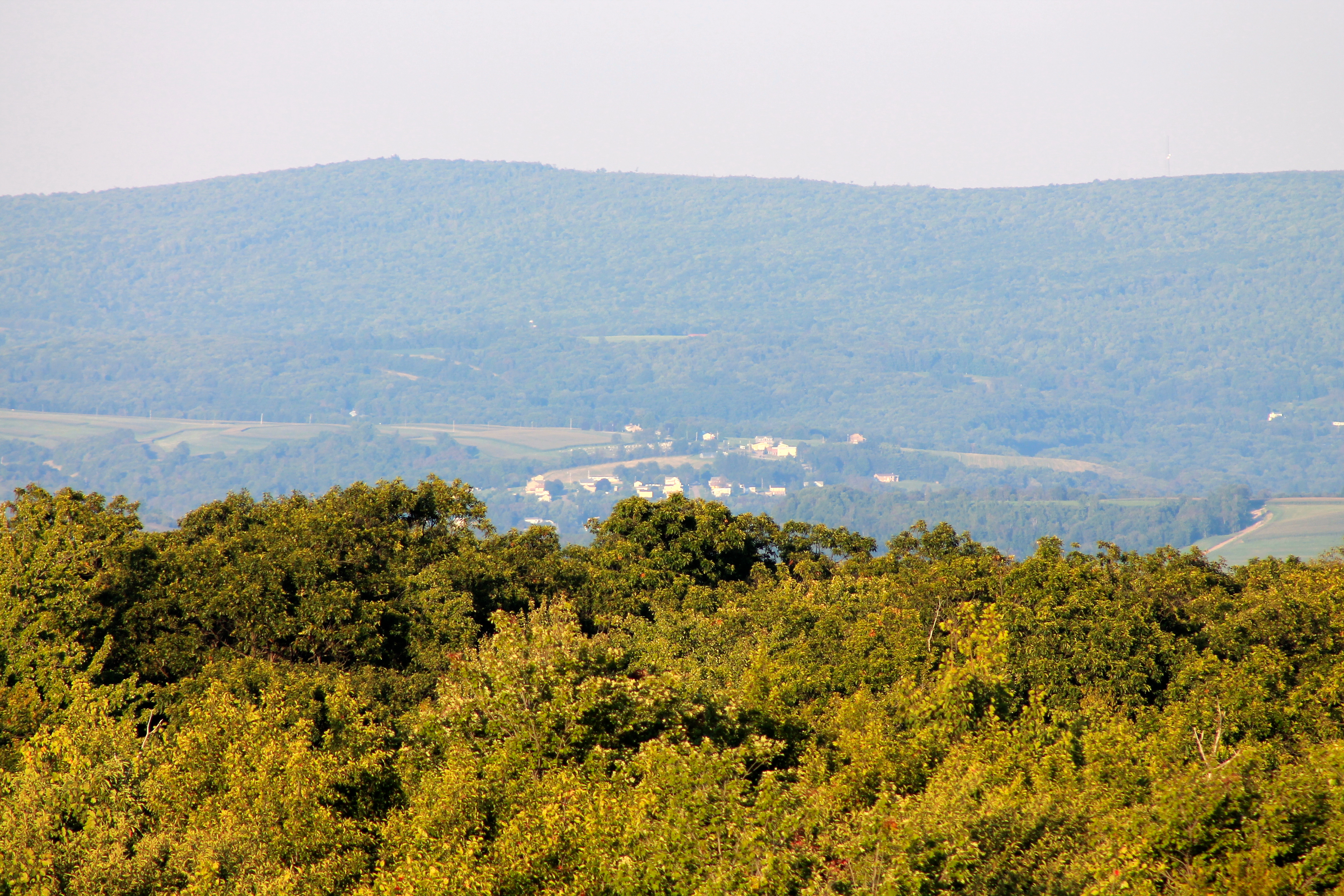
View toward Maryland from Mt. Davis Fire Tower
shoot anything that doesn't move
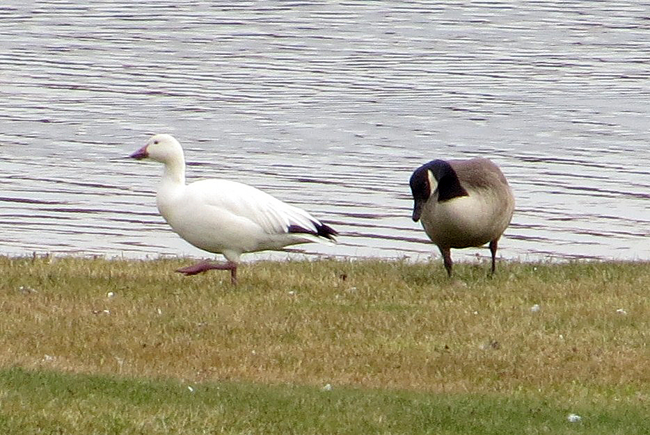
Snow Goose
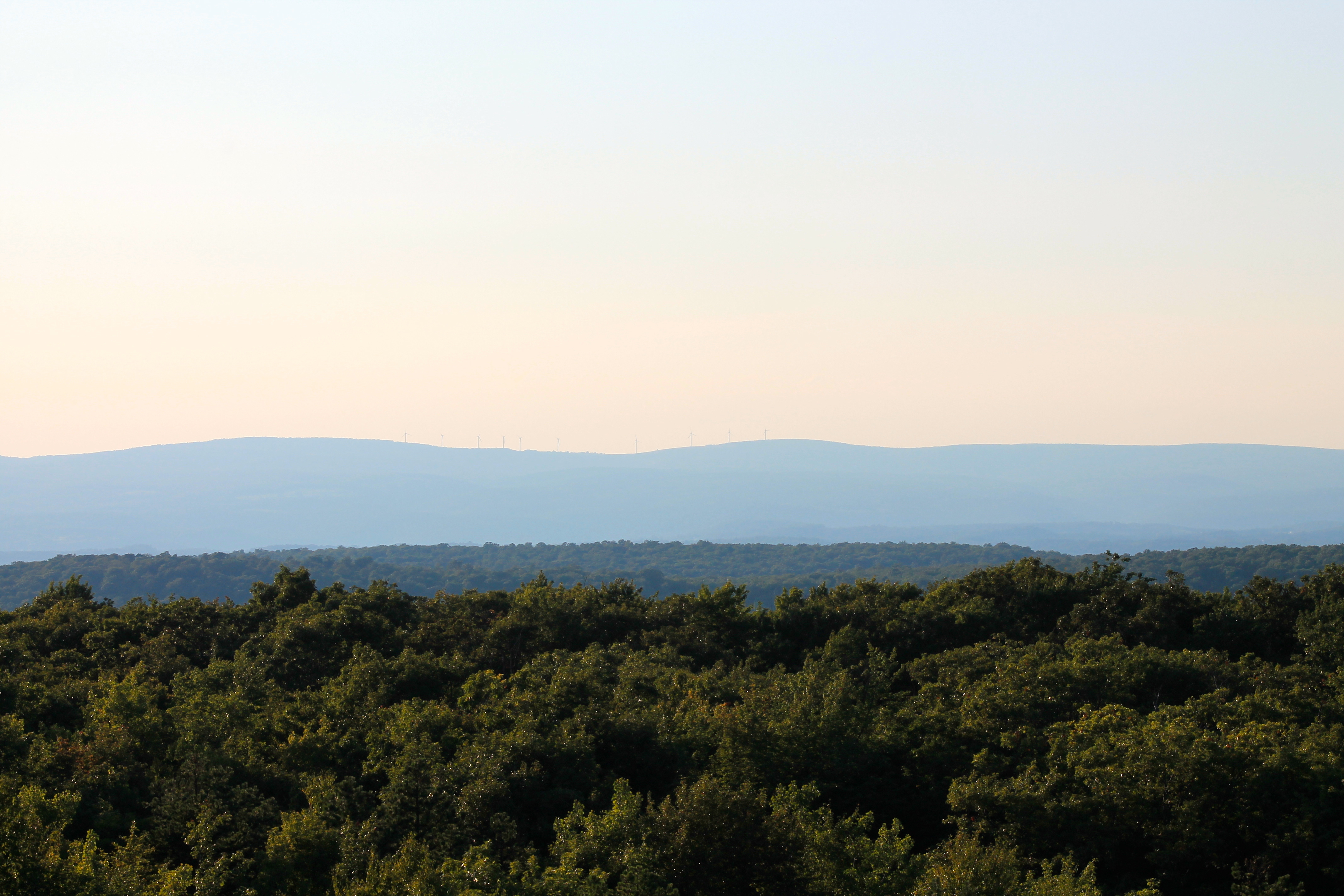
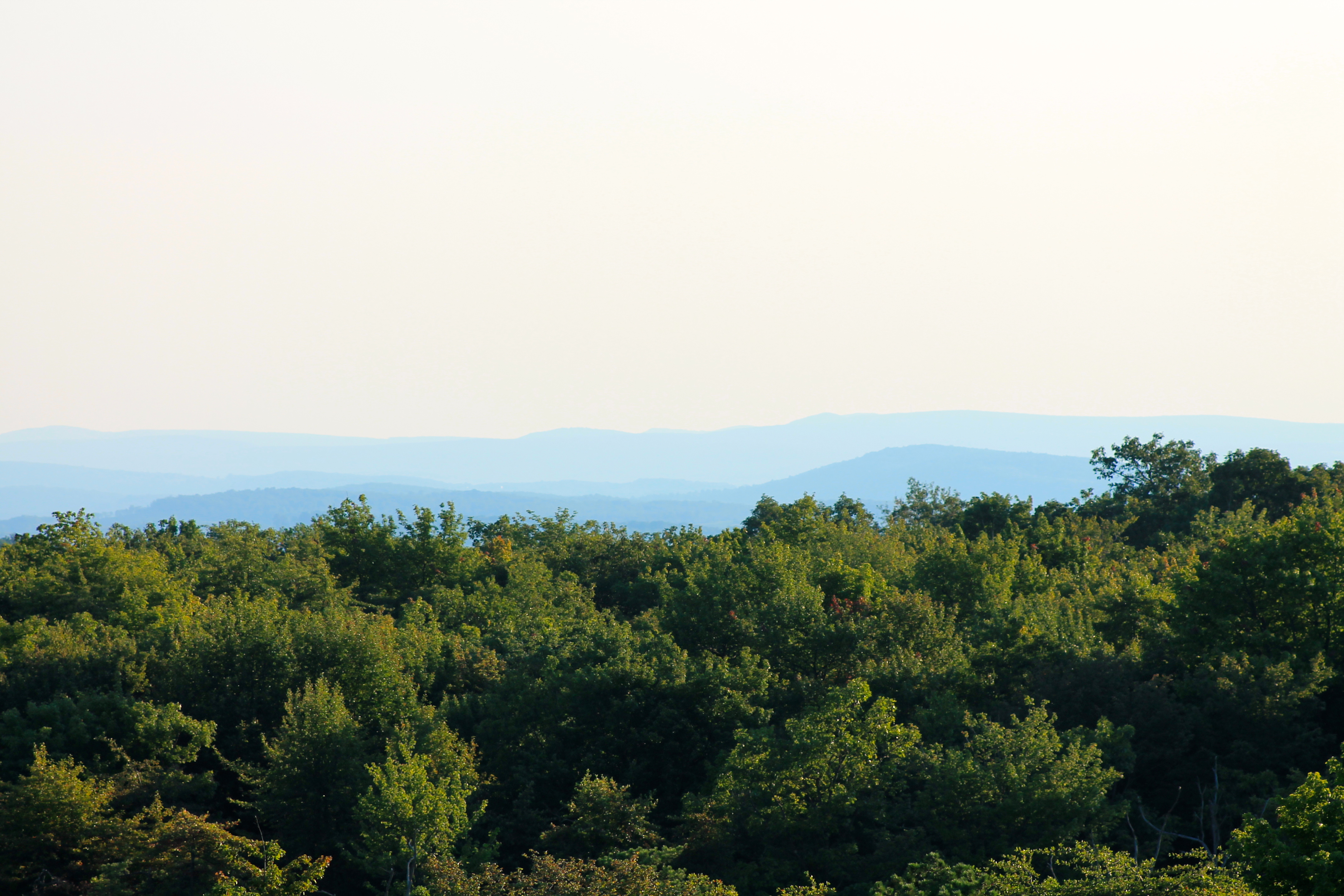
View west toward Laurel Ridge from Mt. Davis Fire Tower

Grand View Tavern, Maryland
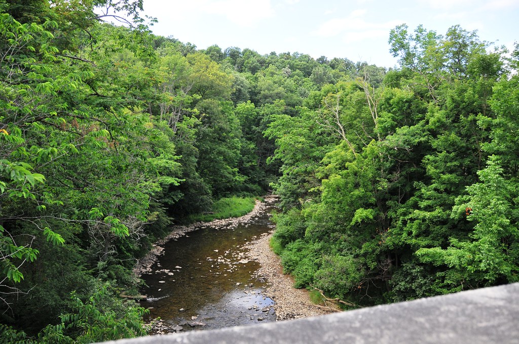
View North from the bridge
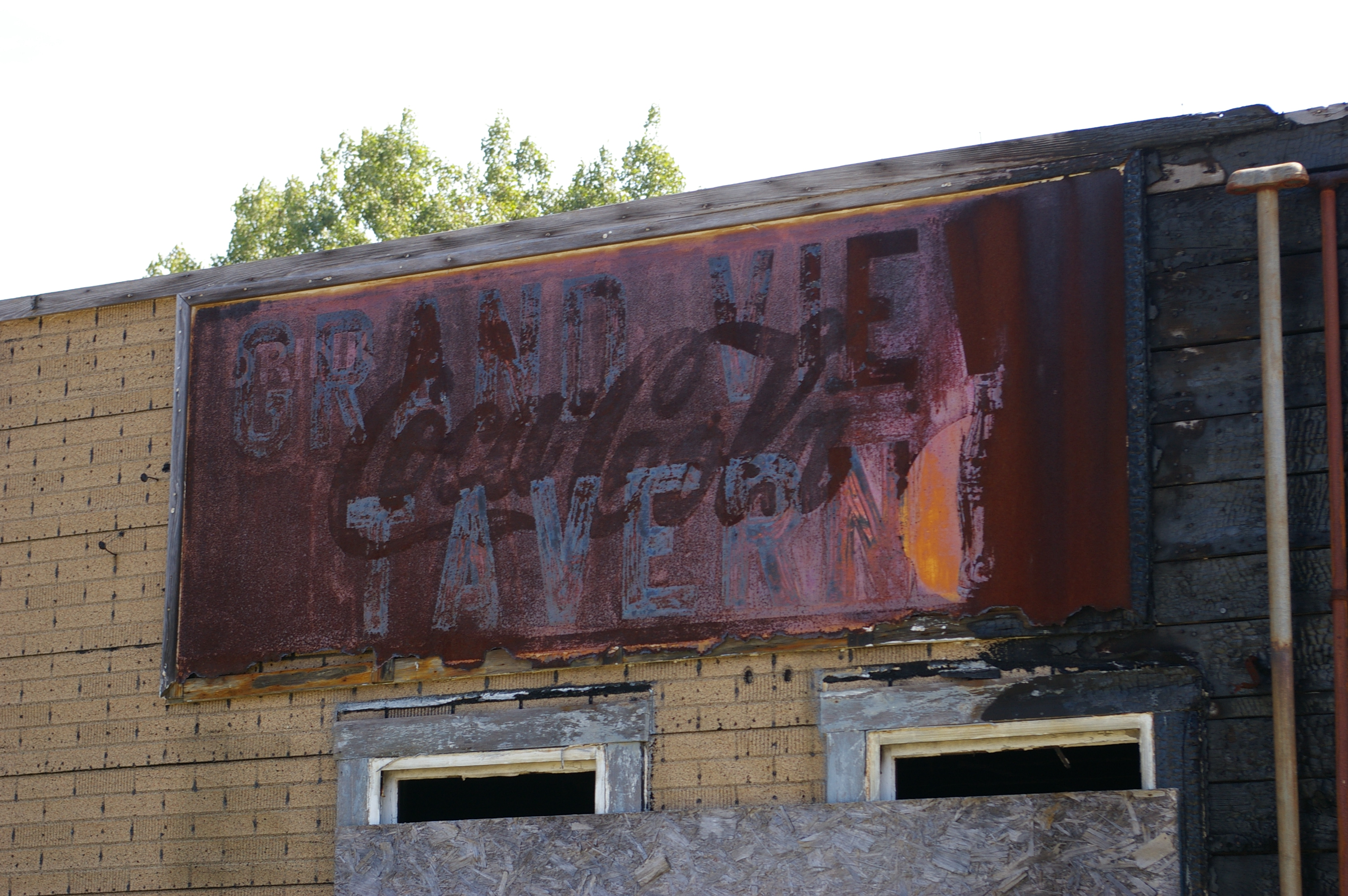
Grand View Tavern, Maryland

fall fire
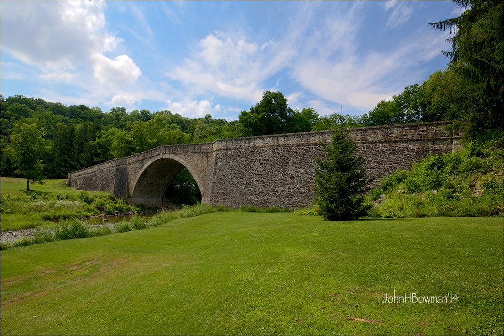
Casselman River Bridge
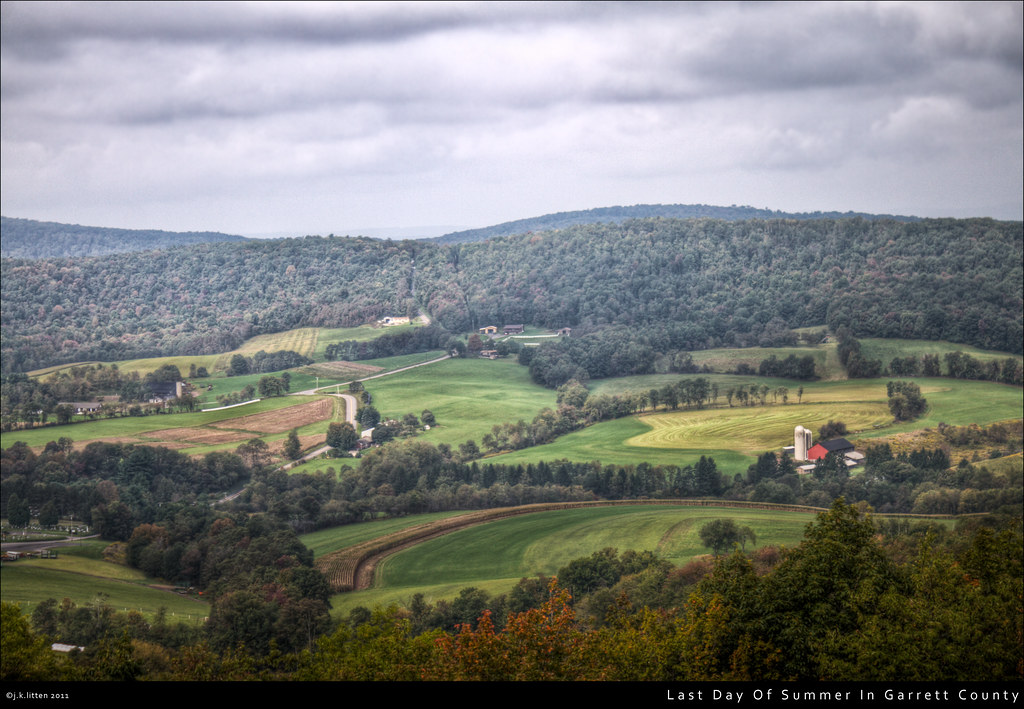
Last Day Of Summer In Garrett County

an autumn morning
New Germany swamp
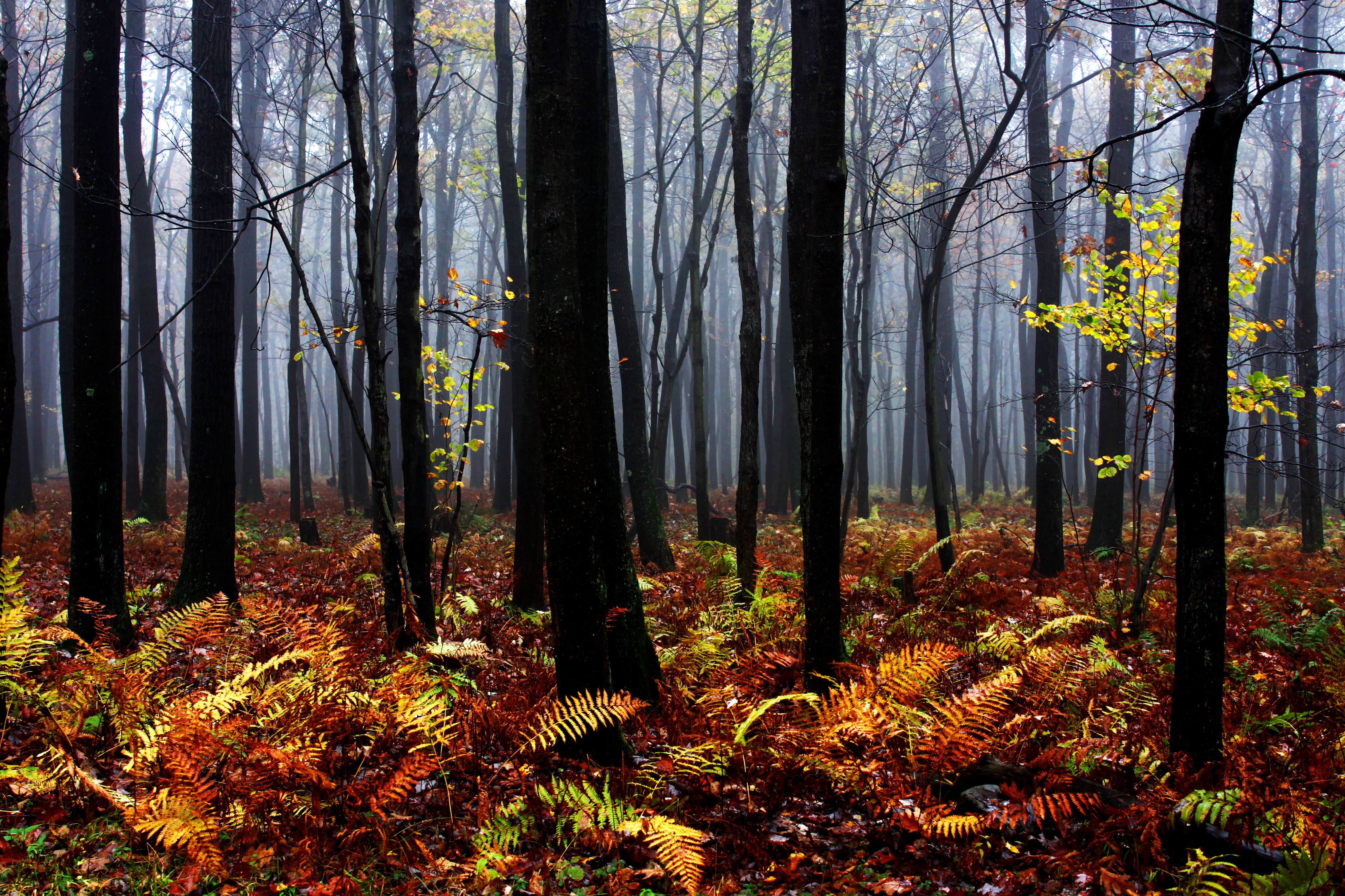
Mysterious Forest

Decaying farmhouse
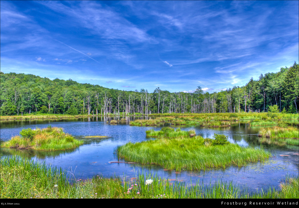
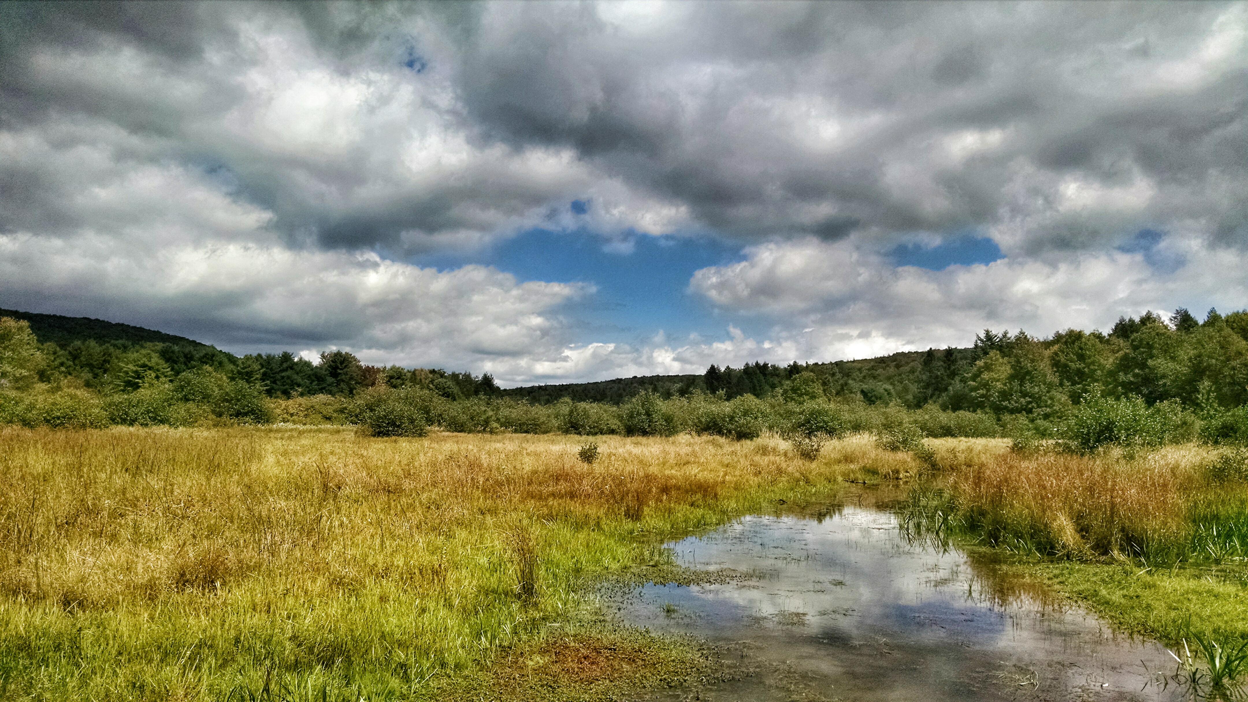
Frostburg Reservoir Wetland
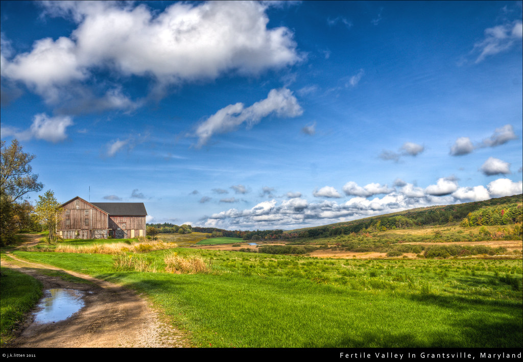
Fertile Valley In Grantsville, Maryland
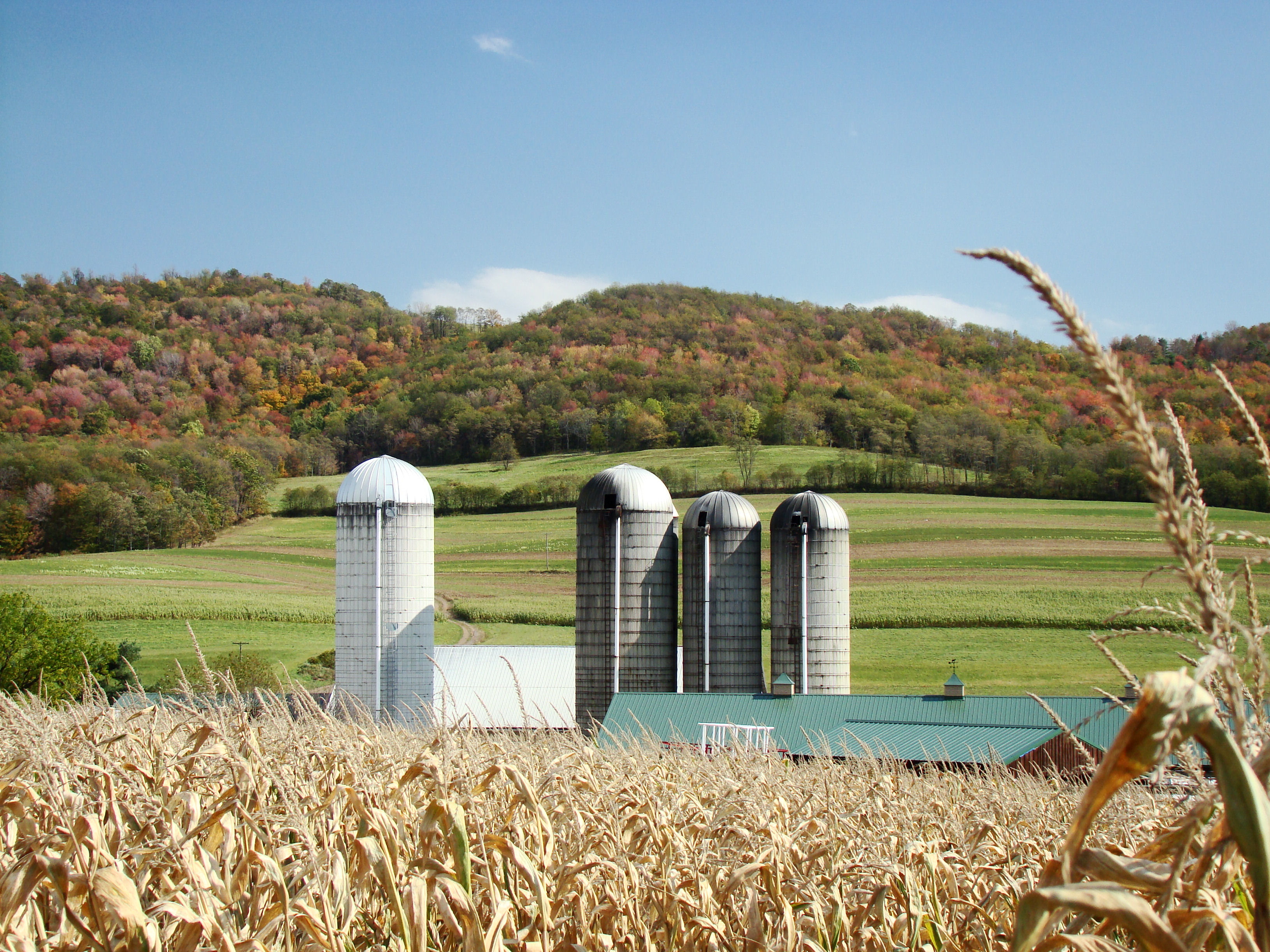
Farm at Corn Maze
Trip to Maryland
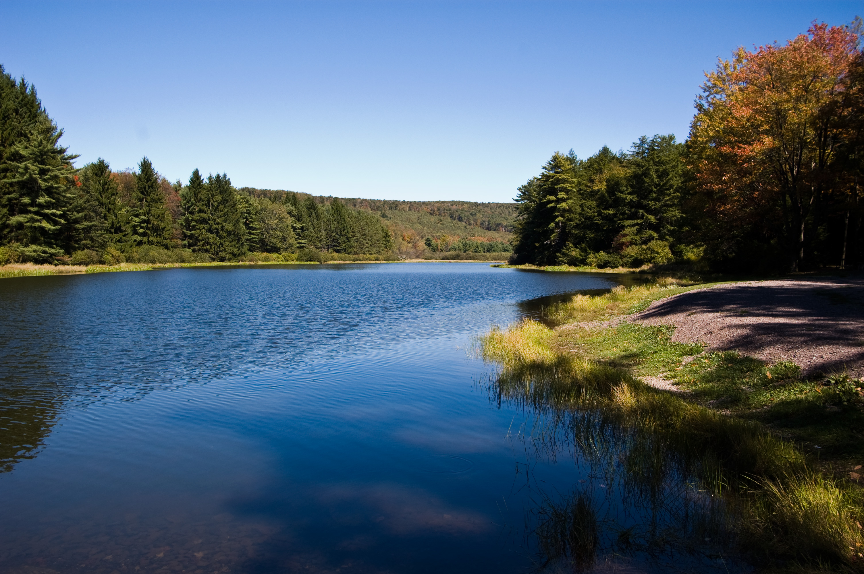
Lake Shot Two

Kissing in a Cornfield
Topographic Map of Grantsville, MD, USA
Find elevation by address:

Places in Grantsville, MD, USA:
Places near Grantsville, MD, USA:
107 Shade Hollow Rd
1562 Springs Rd
64 Meadow Lake Dr
3, Grantsville
2903 Chestnut Ridge Rd
422 Root Beachy Rd
706 Zehner Rd
New Germany State Park
1726 Durst Rd
McAndrews Hill Rd, Grantsville, MD, USA
Negro Mountain Church
Keysers Ridge
Bowman Hill Road
2294 National Pike
12, Bittinger
305 Hemlock Meadow Dr
9743 Bittinger Rd
5, Accident
Main Street
Accident
Recent Searches:
- Elevation of Corso Fratelli Cairoli, 35, Macerata MC, Italy
- Elevation of Tallevast Rd, Sarasota, FL, USA
- Elevation of 4th St E, Sonoma, CA, USA
- Elevation of Black Hollow Rd, Pennsdale, PA, USA
- Elevation of Oakland Ave, Williamsport, PA, USA
- Elevation of Pedrógão Grande, Portugal
- Elevation of Klee Dr, Martinsburg, WV, USA
- Elevation of Via Roma, Pieranica CR, Italy
- Elevation of Tavkvetili Mountain, Georgia
- Elevation of Hartfords Bluff Cir, Mt Pleasant, SC, USA