Elevation of Seney, MI, USA
Location: United States > Michigan > Schoolcraft County > Seney Township >
Longitude: -85.946547
Latitude: 46.3454921
Elevation: 223m / 732feet
Barometric Pressure: 99KPa
Elevation Map:
Satellite Map:
Related Photos:
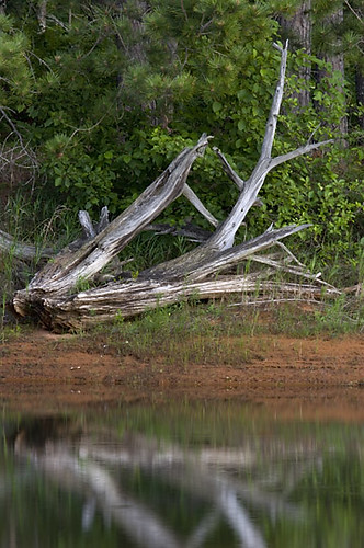
Shoreline view

Seney 3859

Seney NWR 2012

Mandelbrot sunset
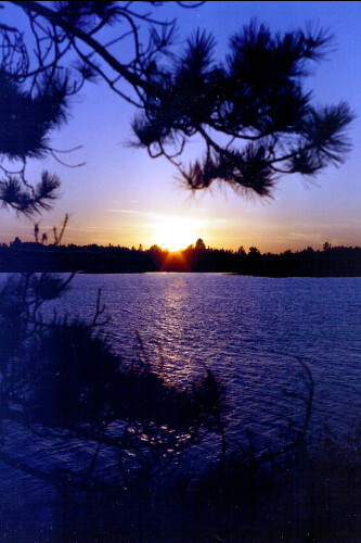
sceney sunset
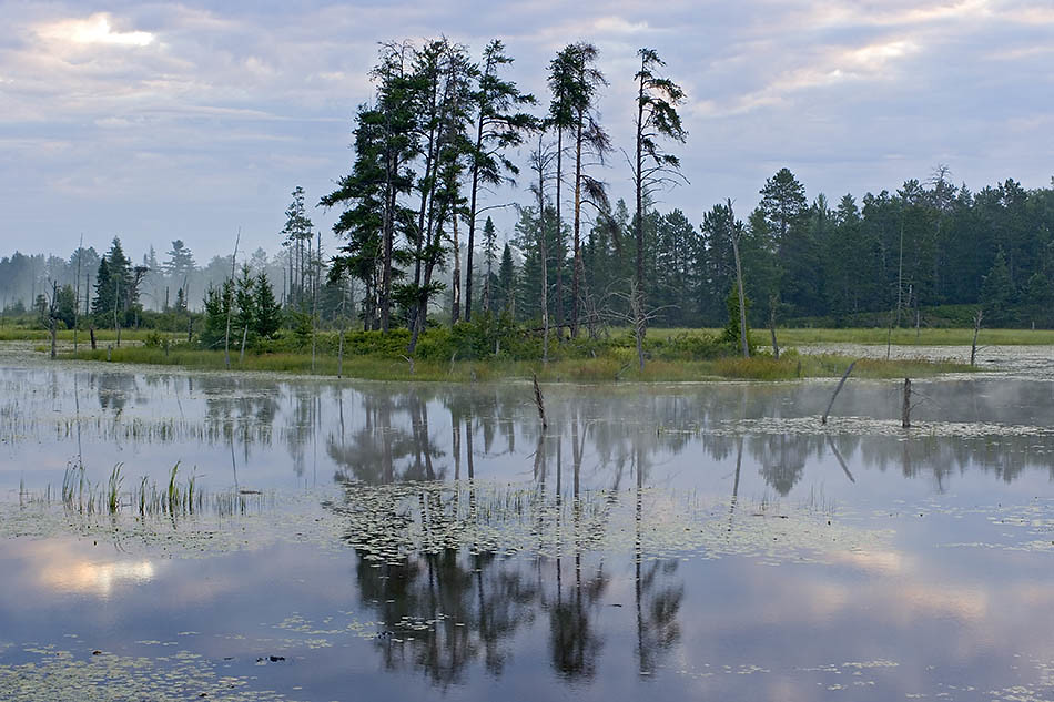
'Seney Morning'
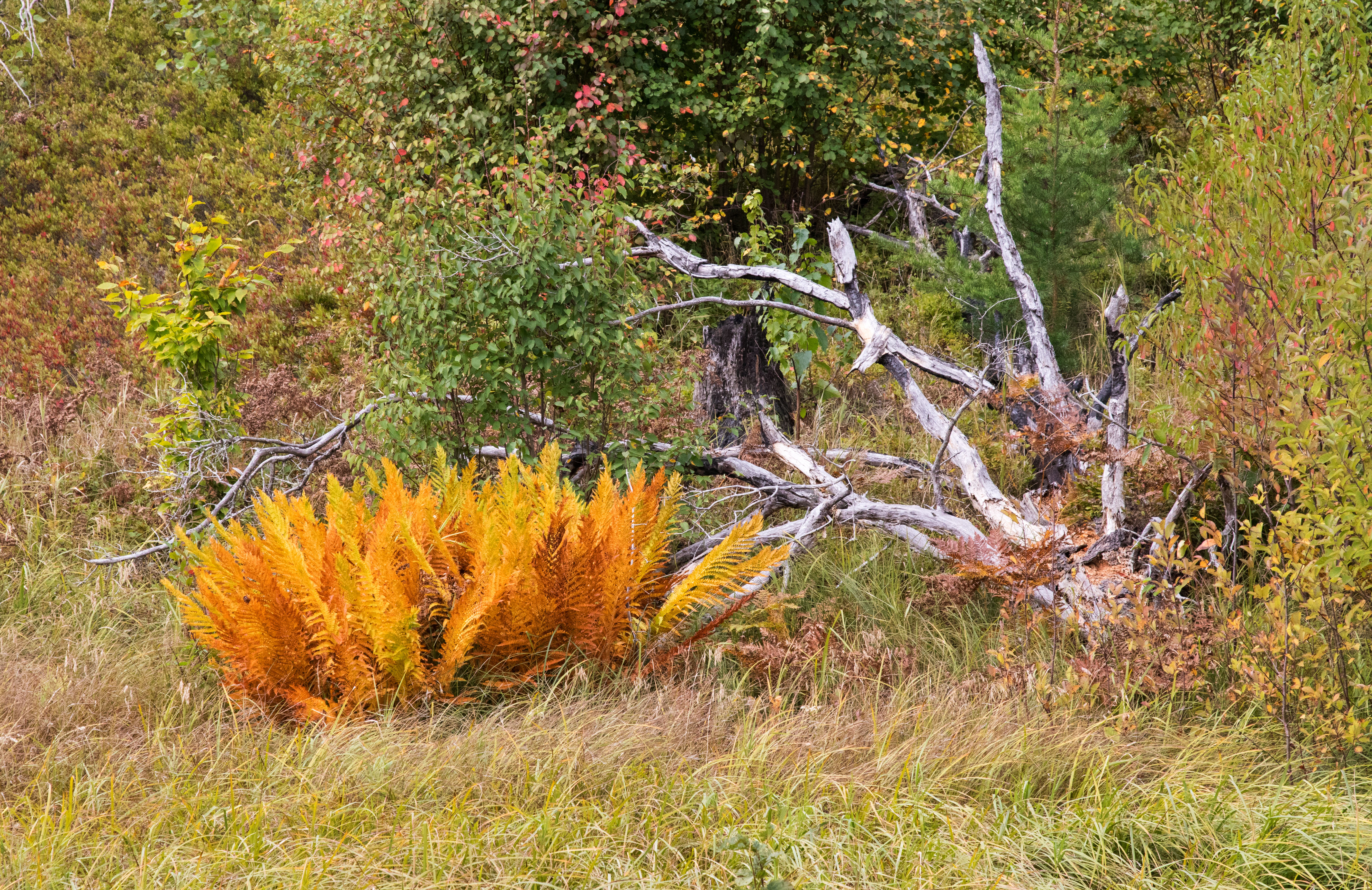
Colorful Ferns
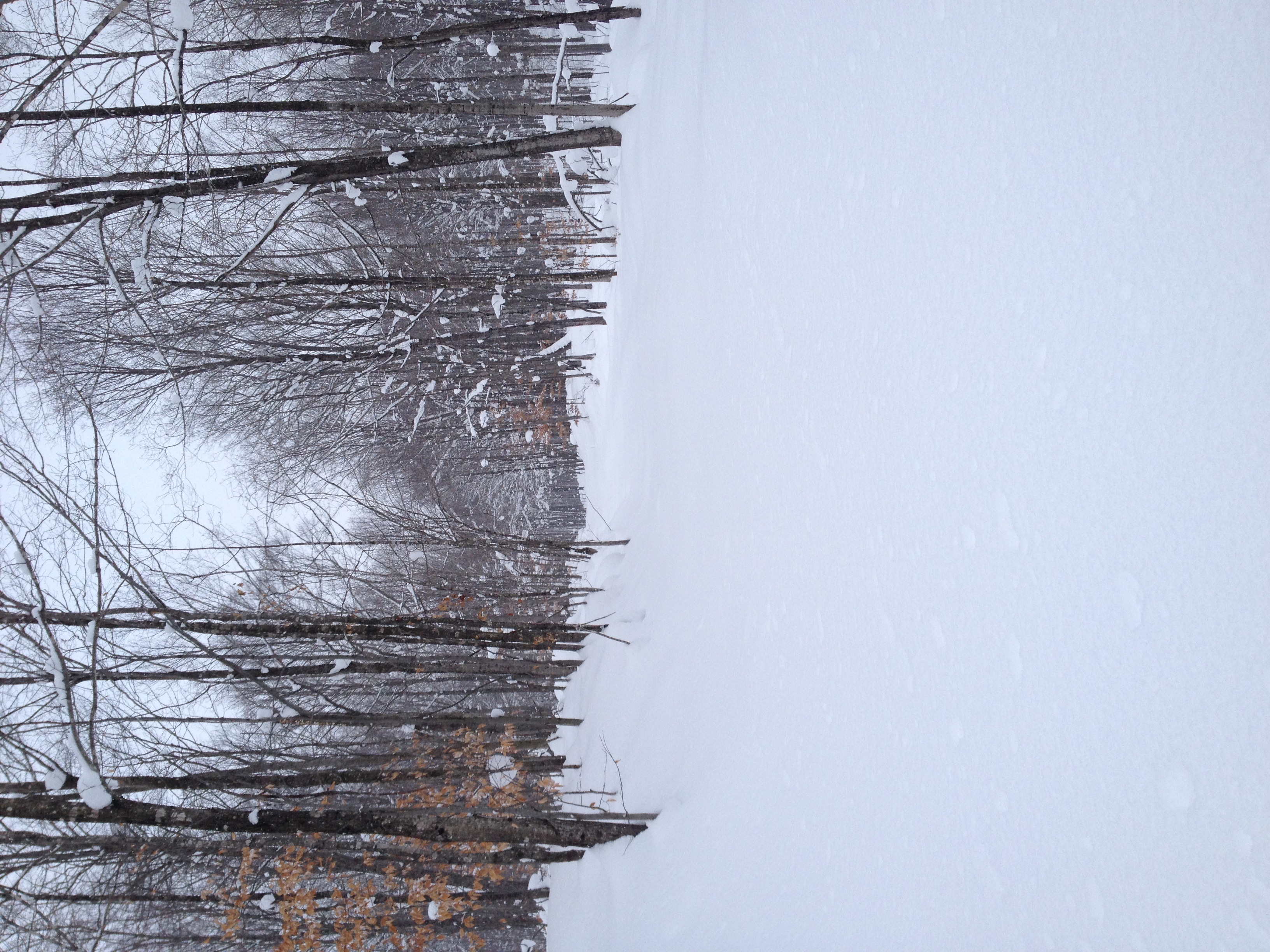
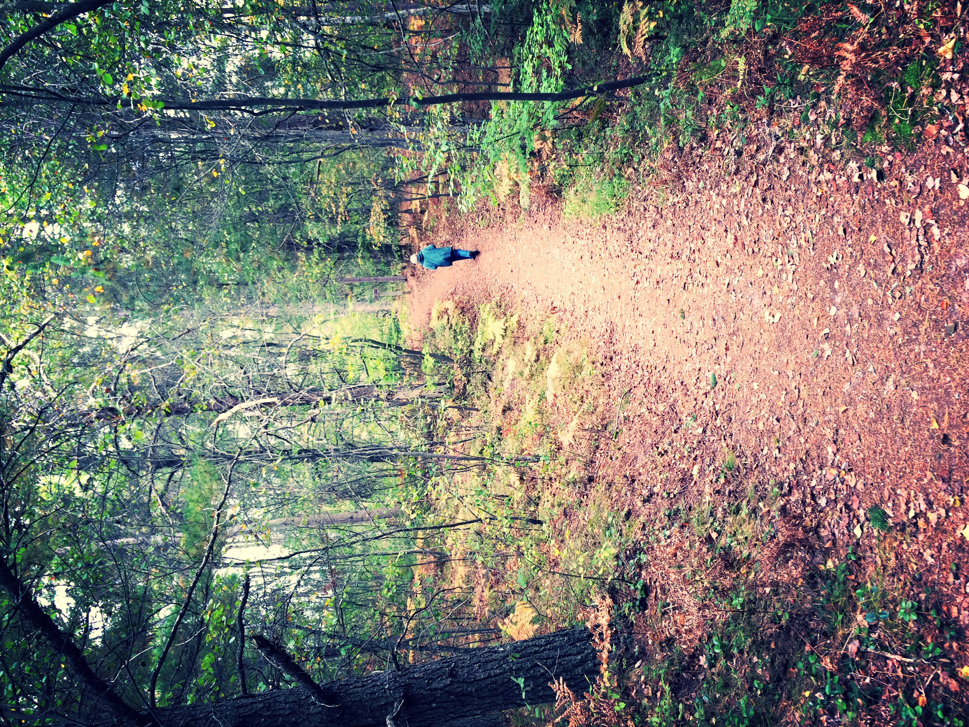
Road to nowhere.

Red-winged Blackbird - Seney National Wildlife Refuge
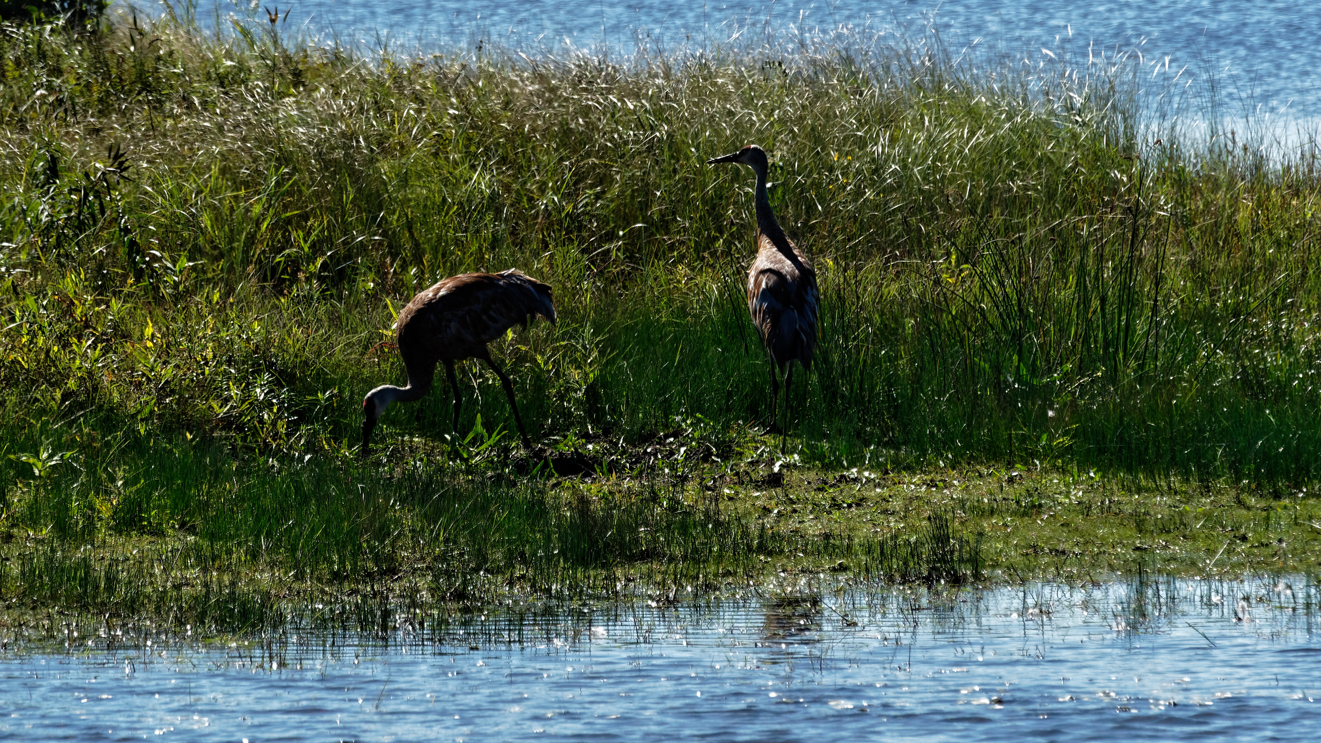
Sandhill Cranes
Seney Wildlife Refuge 01

Seney Wildlife Refuge 03
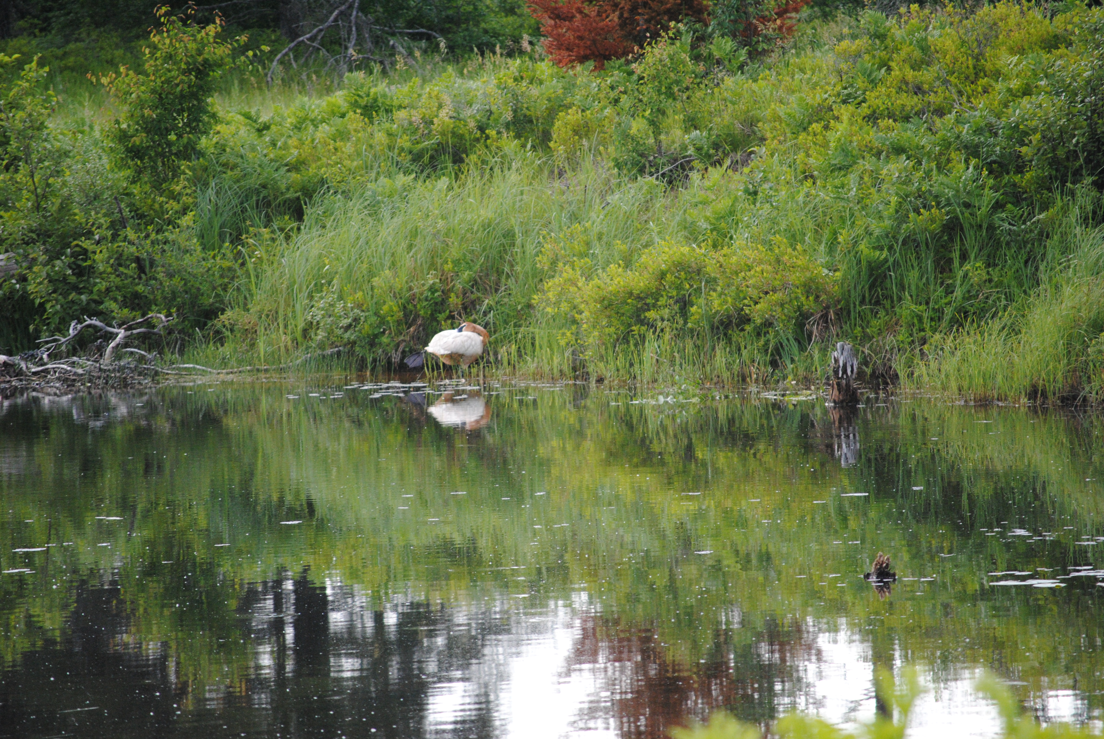
Trumpeter swan
Veteran Visitor

Civilian Conservation Corps - Seney National Wildlife Refuge
Topographic Map of Seney, MI, USA
Find elevation by address:

Places near Seney, MI, USA:
Doyle Township
1220w
Mueller Township
Gulliver
County Road 432
Schoolcraft County
Manistique
State Road
Sunset Beach
Inwood Township
28 M-28, Munising, MI, USA
Cooks
9427 M-28
Doe Lake Road
Valley Spur
6715 00.25 Rd
6715 00.25 Rd
Garden
Au Train Township
Ensign Township
Recent Searches:
- Elevation of Corso Fratelli Cairoli, 35, Macerata MC, Italy
- Elevation of Tallevast Rd, Sarasota, FL, USA
- Elevation of 4th St E, Sonoma, CA, USA
- Elevation of Black Hollow Rd, Pennsdale, PA, USA
- Elevation of Oakland Ave, Williamsport, PA, USA
- Elevation of Pedrógão Grande, Portugal
- Elevation of Klee Dr, Martinsburg, WV, USA
- Elevation of Via Roma, Pieranica CR, Italy
- Elevation of Tavkvetili Mountain, Georgia
- Elevation of Hartfords Bluff Cir, Mt Pleasant, SC, USA