Elevation of County Road, Co Rd, Doyle Township, MI, USA
Location: United States > Michigan > Schoolcraft County > Doyle Township > Gulliver >
Longitude: -86.011855
Latitude: 45.992511
Elevation: 190m / 623feet
Barometric Pressure: 99KPa
Elevation Map:
Satellite Map:
Related Photos:
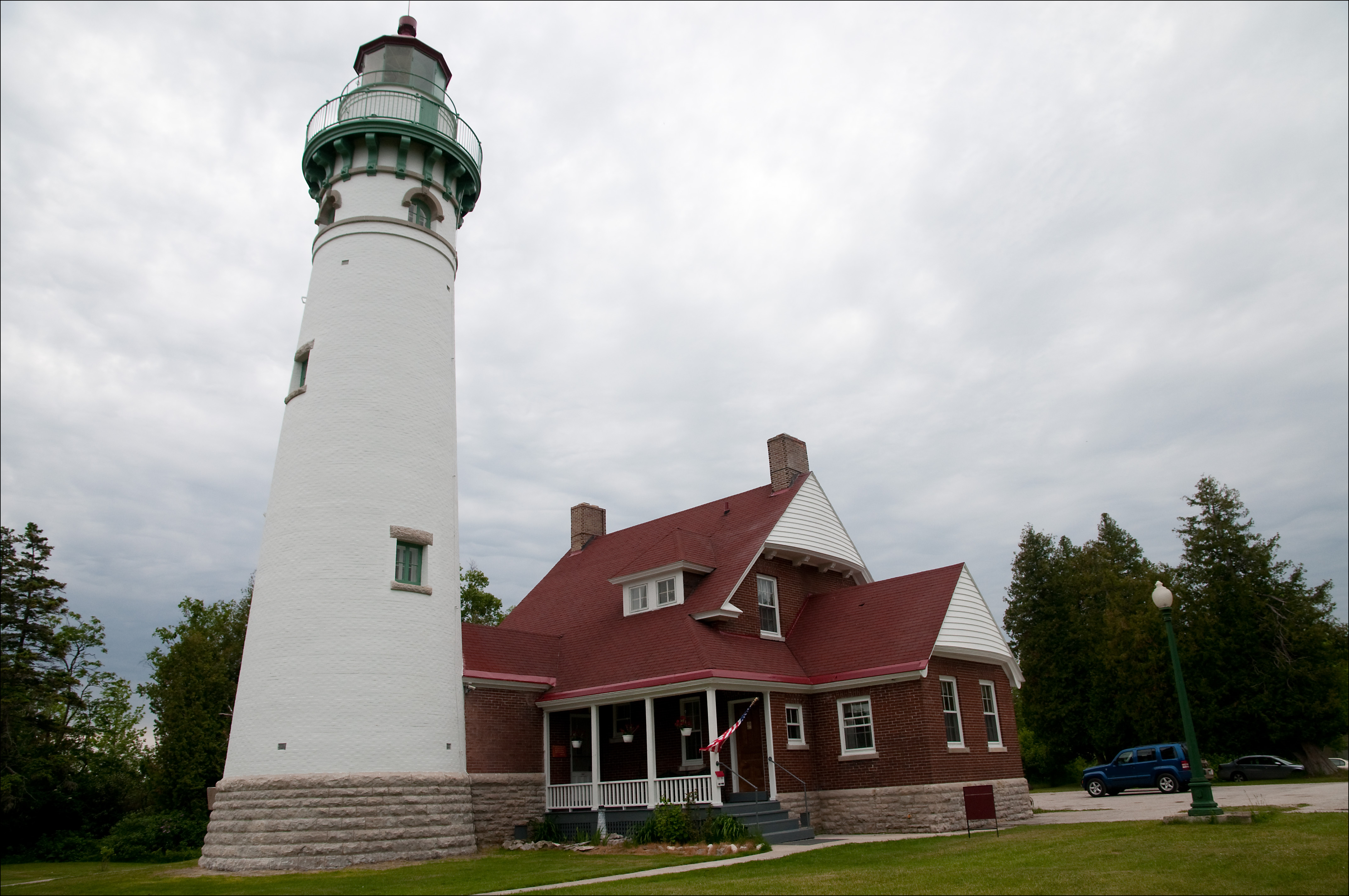
Seul Choix Lighthouse

Seul Choix Point Lighthouse

abandoned barn

Stars_Gulliver-MI_05-19-2018b

Photostock 2014 image 5 of ?, Cinema Two Drive In

Upper-Penn-Property_Gulliver-MI_07-25-2011e

IC1020-SD70_Gulliver-MI_07-25-2011g

Seul Choix lighthouse

Seul Choix lighthouse

2013 Road Trip around Lake Michigan (joined with Grandpa and Grandma at the end)

Port Inland Quarry

Lake Michigan Shoreline
Topographic Map of County Road, Co Rd, Doyle Township, MI, USA
Find elevation by address:

Places near County Road, Co Rd, Doyle Township, MI, USA:
Gulliver
Mueller Township
1220w
Doyle Township
Schoolcraft County
Manistique
State Road
Sunset Beach
Seney
Inwood Township
Cooks
6715 00.25 Rd
6715 00.25 Rd
Garden
Doe Lake Road
28 M-28, Munising, MI, USA
9427 M-28
Valley Spur
Au Train Township
Ensign Township
Recent Searches:
- Elevation of Corso Fratelli Cairoli, 35, Macerata MC, Italy
- Elevation of Tallevast Rd, Sarasota, FL, USA
- Elevation of 4th St E, Sonoma, CA, USA
- Elevation of Black Hollow Rd, Pennsdale, PA, USA
- Elevation of Oakland Ave, Williamsport, PA, USA
- Elevation of Pedrógão Grande, Portugal
- Elevation of Klee Dr, Martinsburg, WV, USA
- Elevation of Via Roma, Pieranica CR, Italy
- Elevation of Tavkvetili Mountain, Georgia
- Elevation of Hartfords Bluff Cir, Mt Pleasant, SC, USA