Elevation map of Senapati, Manipur, India
Location: India > Manipur >
Longitude: 94.1513764
Latitude: 25.3203312
Elevation: 1411m / 4629feet
Barometric Pressure: 0KPa
Related Photos:

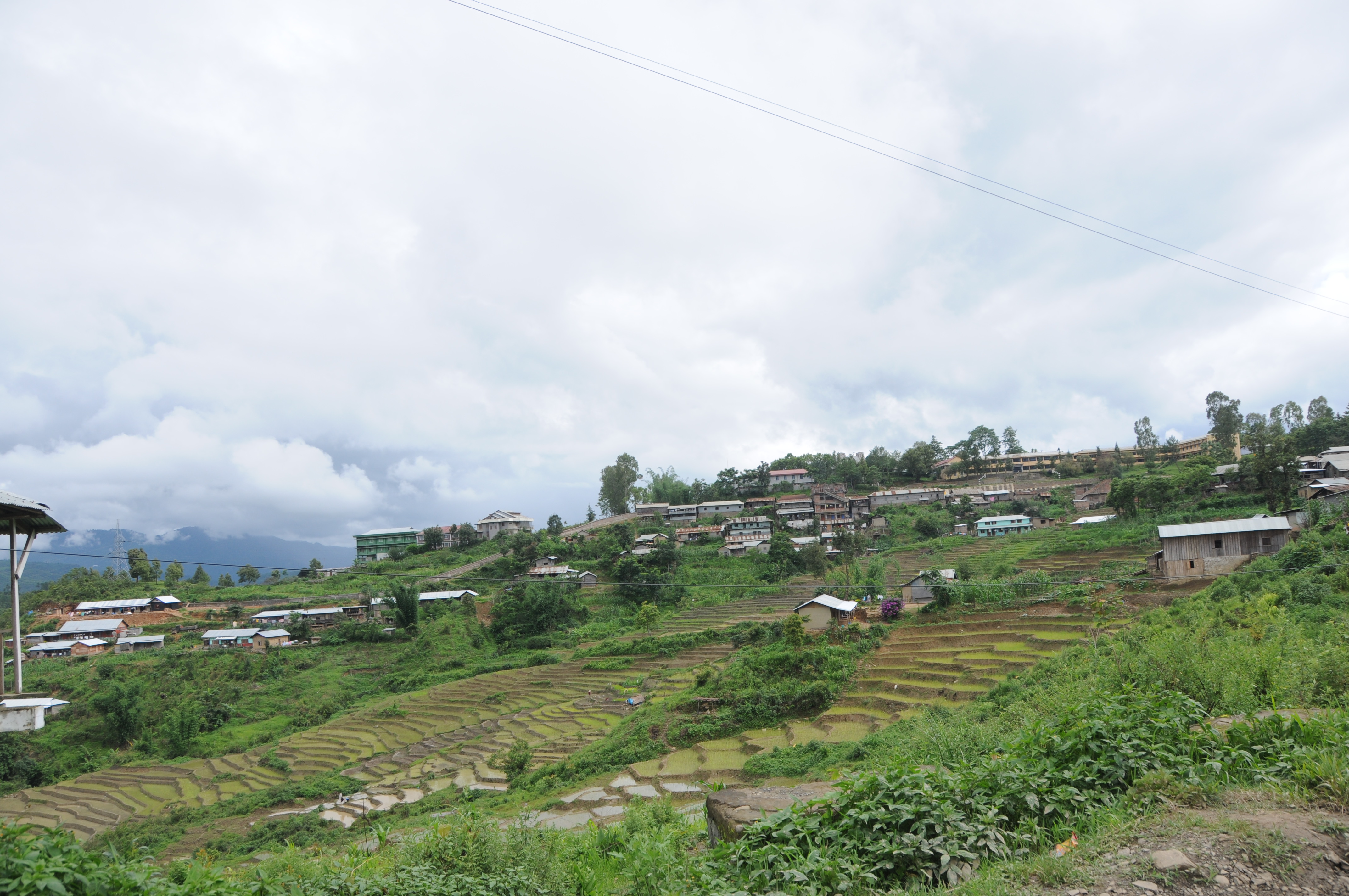
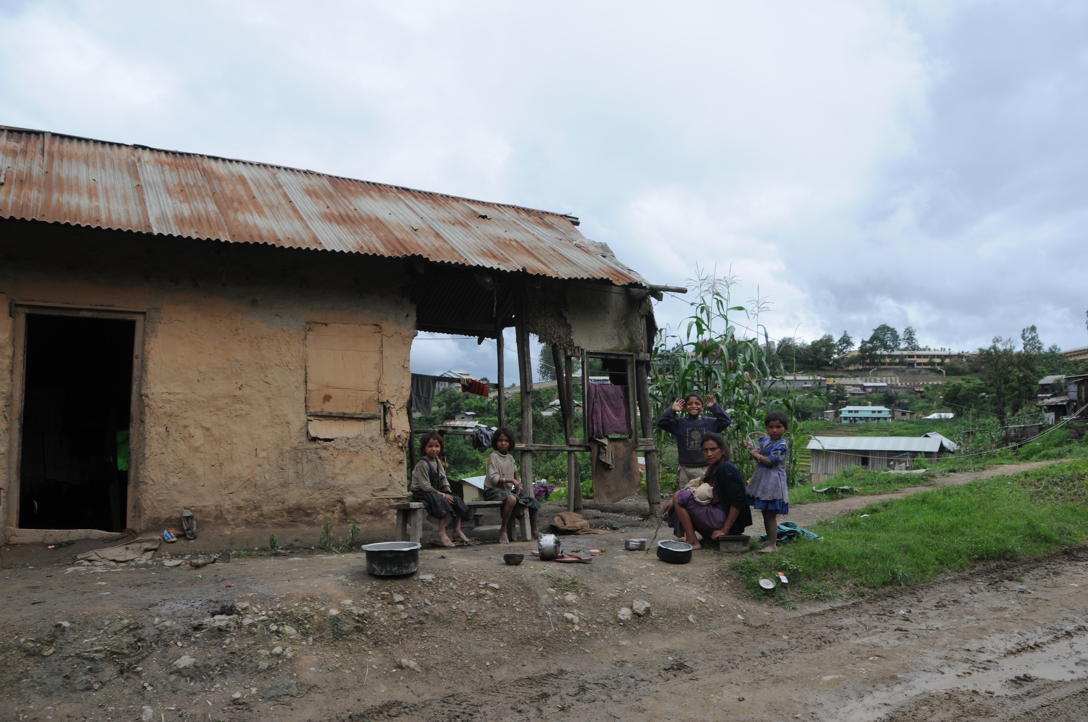
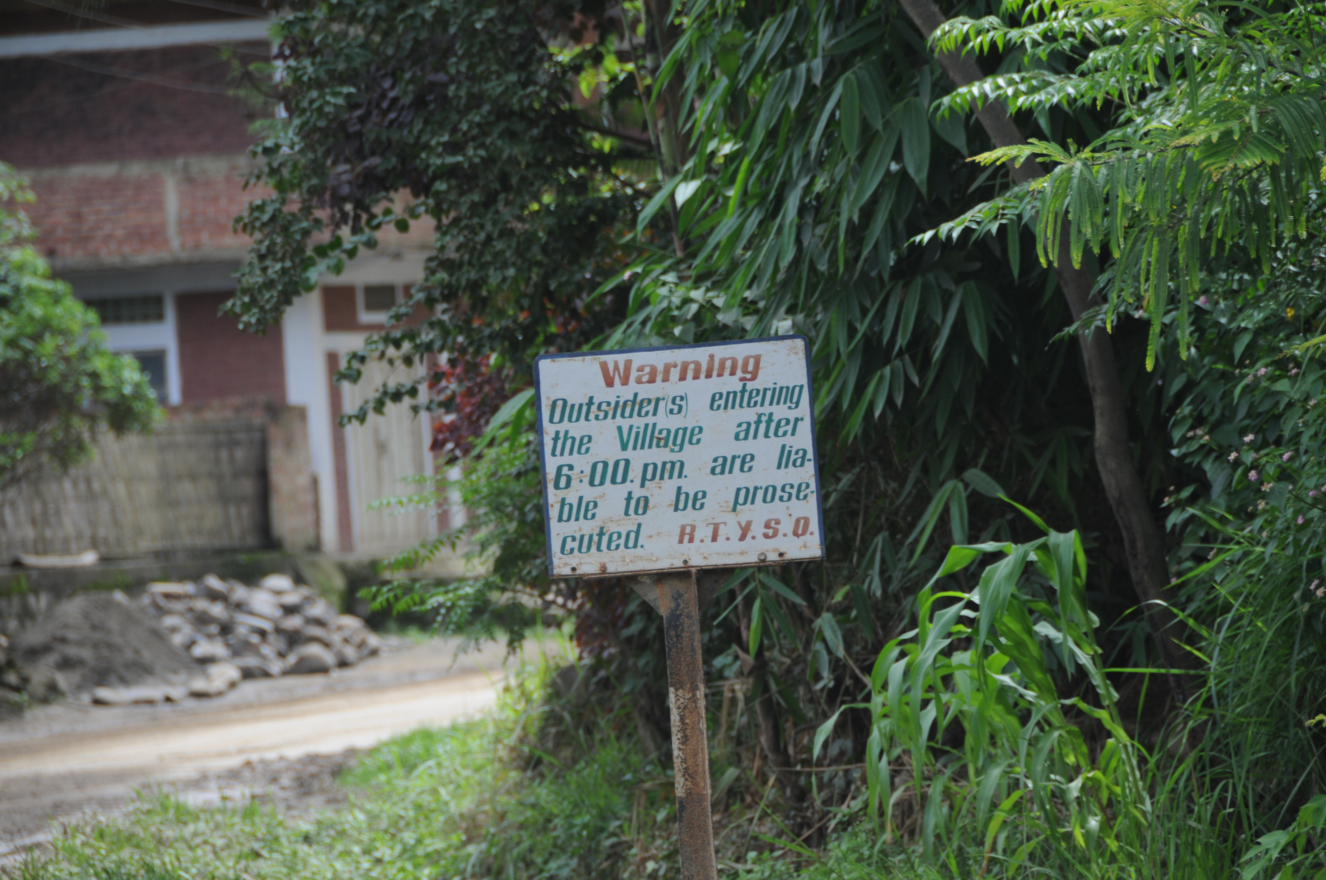
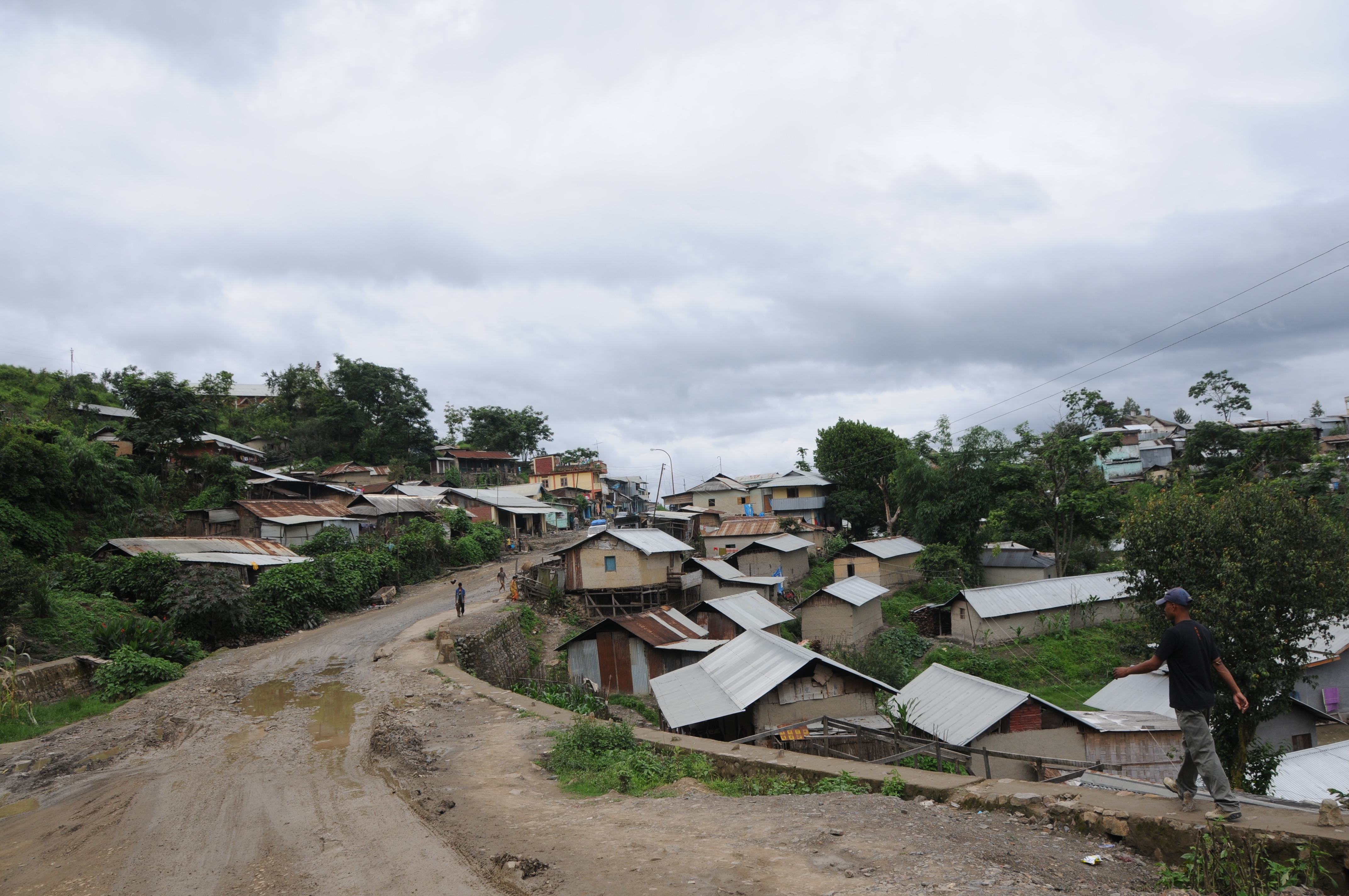
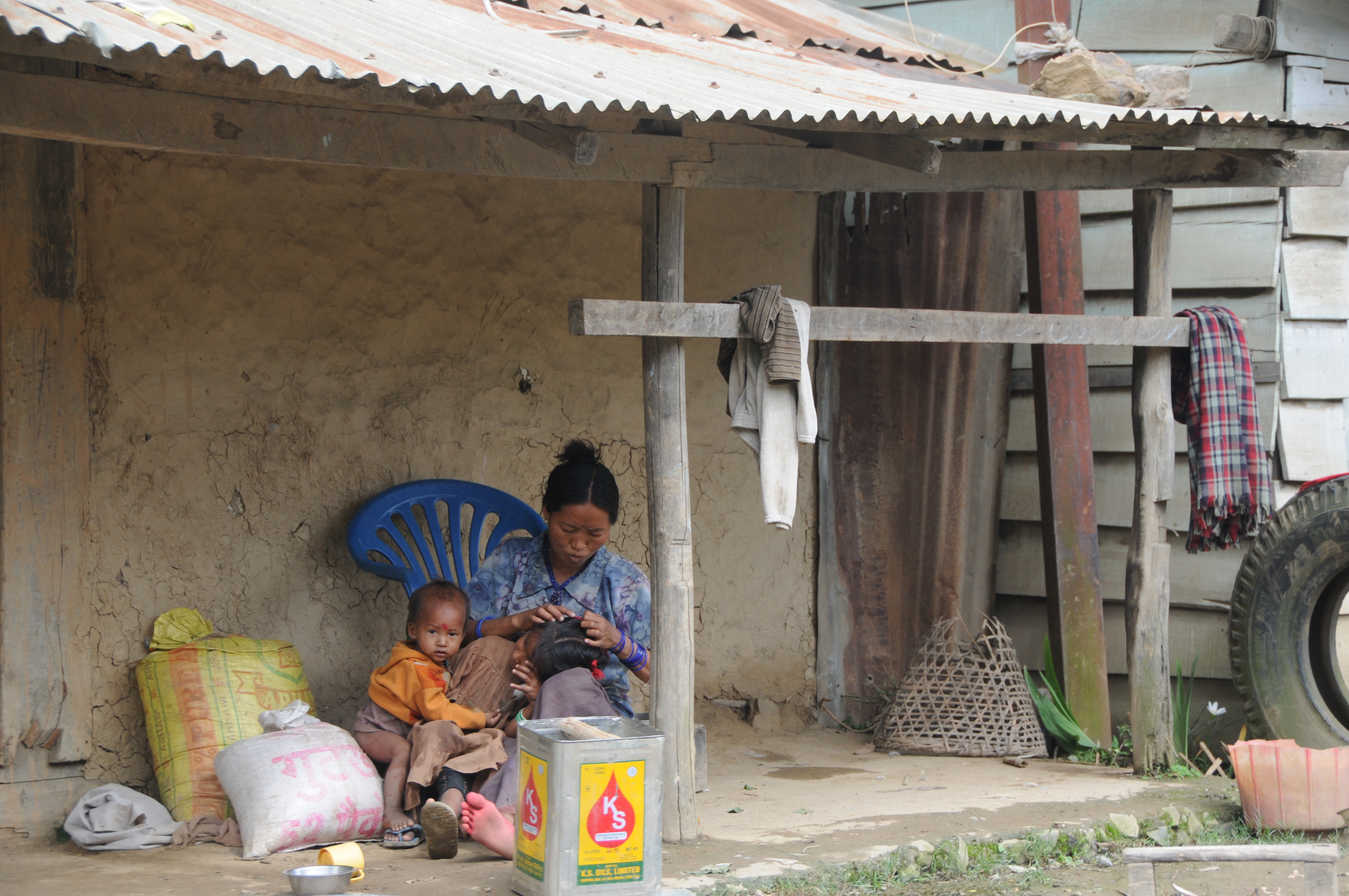
CSP_4701.JPG

CSP_4698.JPG

CSP_4703.JPG

CSP_4704.JPG

CSP_4716.JPG

CSP_4715.JPG

CSP_4702.JPG

CSP_4700.JPG
CSP_4708.JPG
CSP_4707.JPG

CSP_4699.JPG
CSP_4697.JPG

CSP_4711.JPG

CSP_4717.JPG

CSP_4714.JPG
CSP_4712.JPG

CSP_4706.JPG
CSP_4710.JPG

CSP_4705.JPG

CSP_4709.JPG

CSP_4713.JPG
Topographic Map of Senapati, Manipur, India
Find elevation by address:

Places in Senapati, Manipur, India:
Places near Senapati, Manipur, India:
Maram Bazar
Sangkunglong
Viswema
Dzükou Valley Trek
Kohima
Kohima
Diphu
Sonitpur
Golaghat
Karbi Anglong
Dima Hasao
Golaghat
Assam
Kanchanjuri
Kaziranga National Park
Recent Searches:
- Elevation map of Greenland, Greenland
- Elevation of Sullivan Hill, New York, New York, 10002, USA
- Elevation of Morehead Road, Withrow Downs, Charlotte, Mecklenburg County, North Carolina, 28262, USA
- Elevation of 2800, Morehead Road, Withrow Downs, Charlotte, Mecklenburg County, North Carolina, 28262, USA
- Elevation of Yangbi Yi Autonomous County, Yunnan, China
- Elevation of Pingpo, Yangbi Yi Autonomous County, Yunnan, China
- Elevation of Mount Malong, Pingpo, Yangbi Yi Autonomous County, Yunnan, China
- Elevation map of Yongping County, Yunnan, China
- Elevation of North 8th Street, Palatka, Putnam County, Florida, 32177, USA
- Elevation of 107, Big Apple Road, East Palatka, Putnam County, Florida, 32131, USA
- Elevation of Jiezi, Chongzhou City, Sichuan, China
- Elevation of Chongzhou City, Sichuan, China
- Elevation of Huaiyuan, Chongzhou City, Sichuan, China
- Elevation of Qingxia, Chengdu, Sichuan, China
- Elevation of Corso Fratelli Cairoli, 35, Macerata MC, Italy
- Elevation of Tallevast Rd, Sarasota, FL, USA
- Elevation of 4th St E, Sonoma, CA, USA
- Elevation of Black Hollow Rd, Pennsdale, PA, USA
- Elevation of Oakland Ave, Williamsport, PA, USA
- Elevation of Pedrógão Grande, Portugal