Elevation map of Manipur, India
Location: India >
Longitude: 93.9062688
Latitude: 24.6637173
Elevation: 777m / 2549feet
Barometric Pressure: 92KPa
Elevation Map:
Satellite Map:
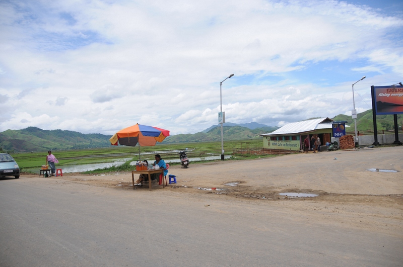
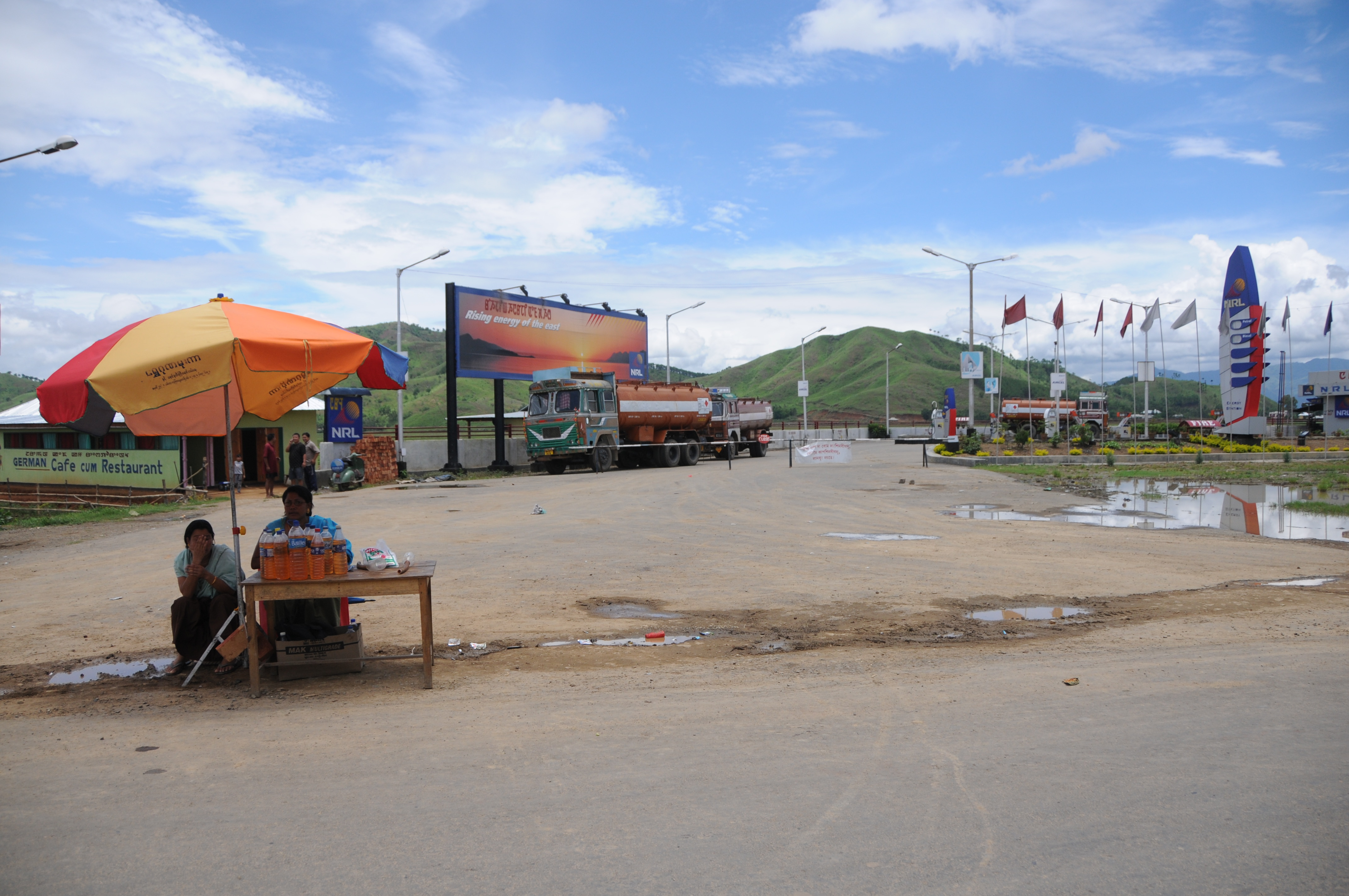
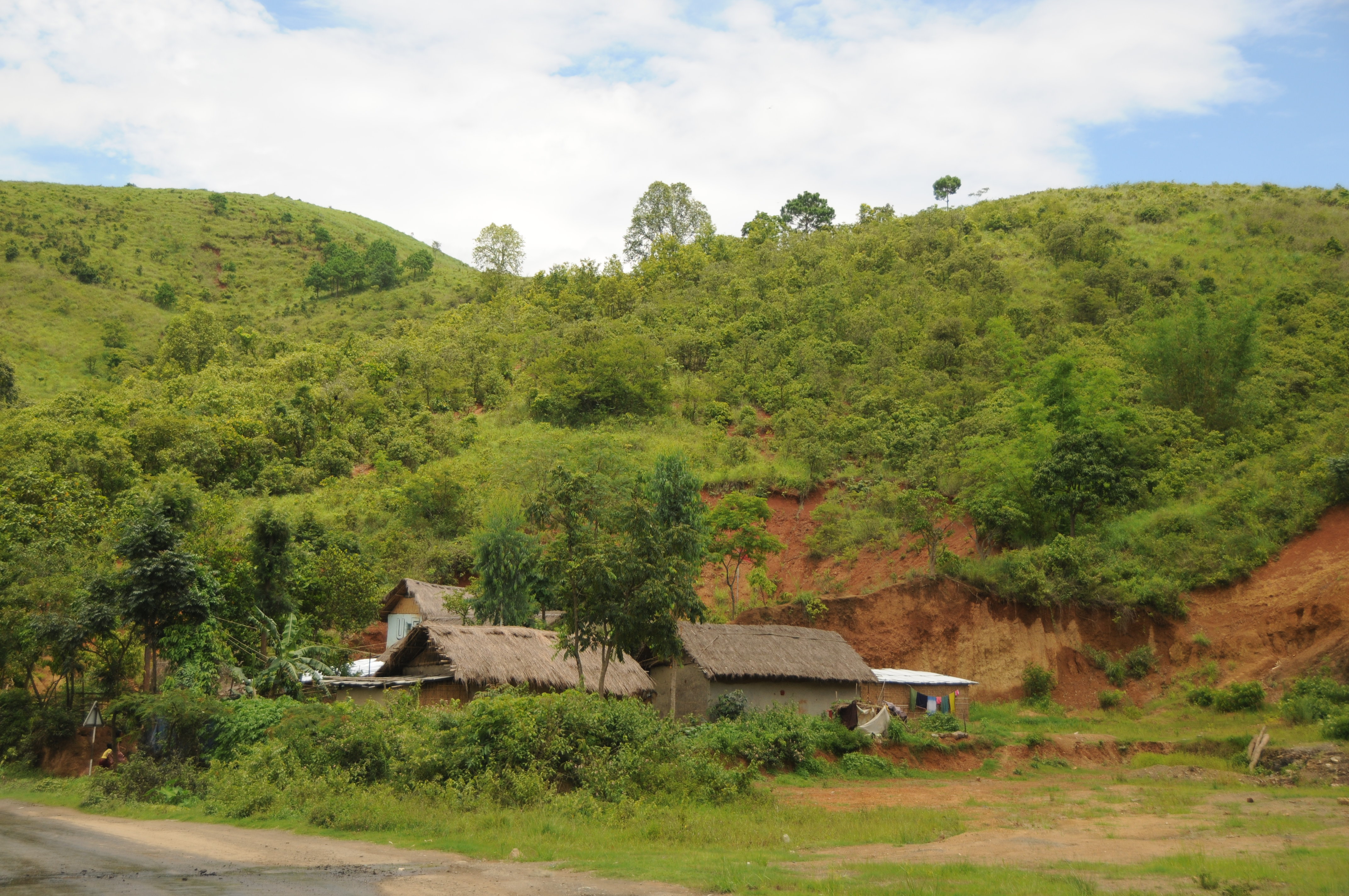
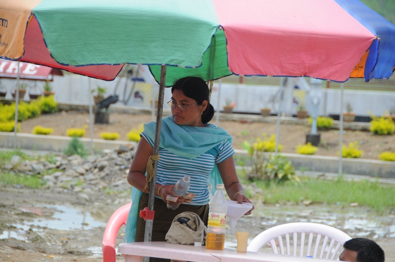
Related Photos:

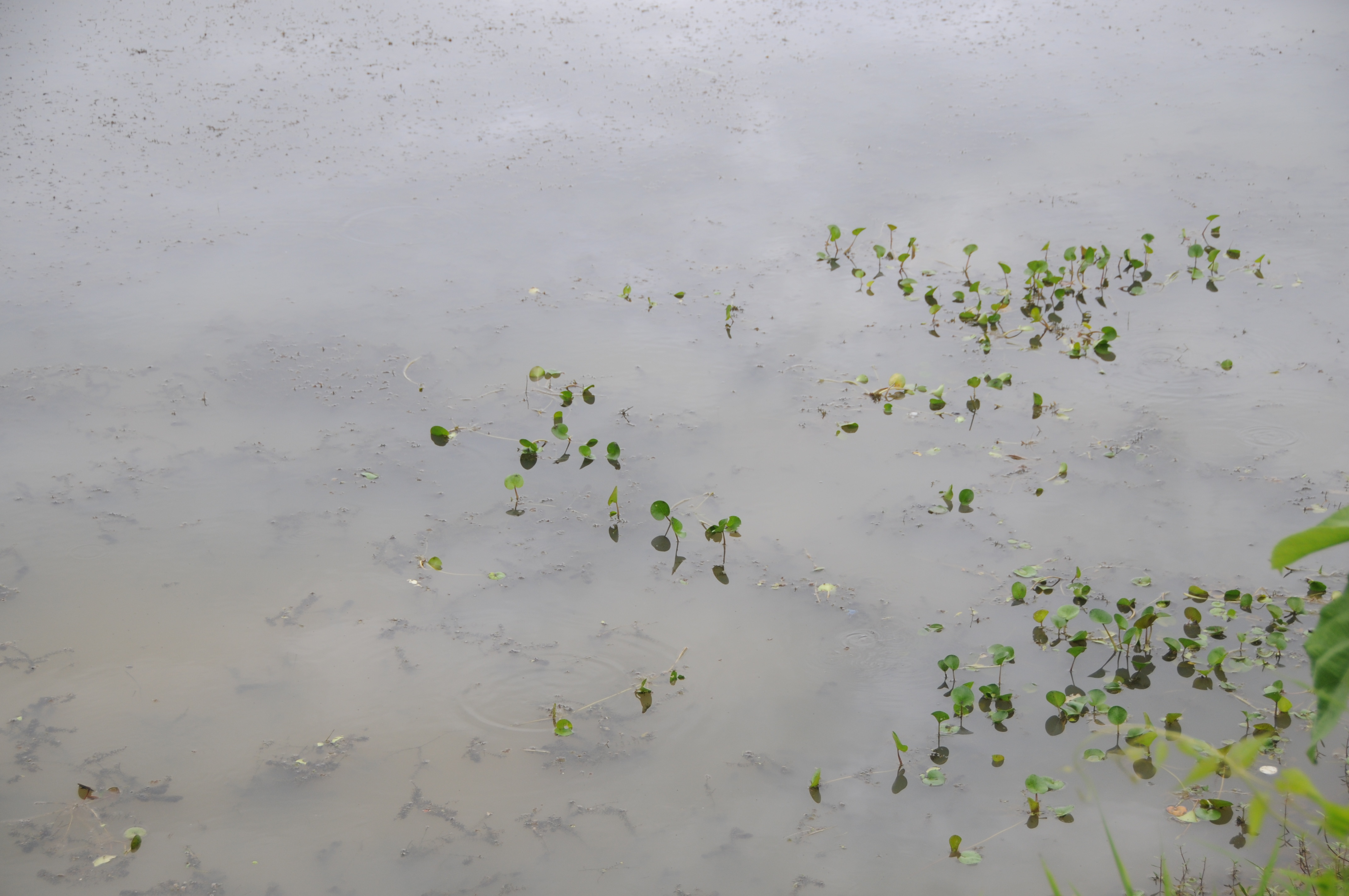
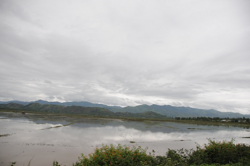
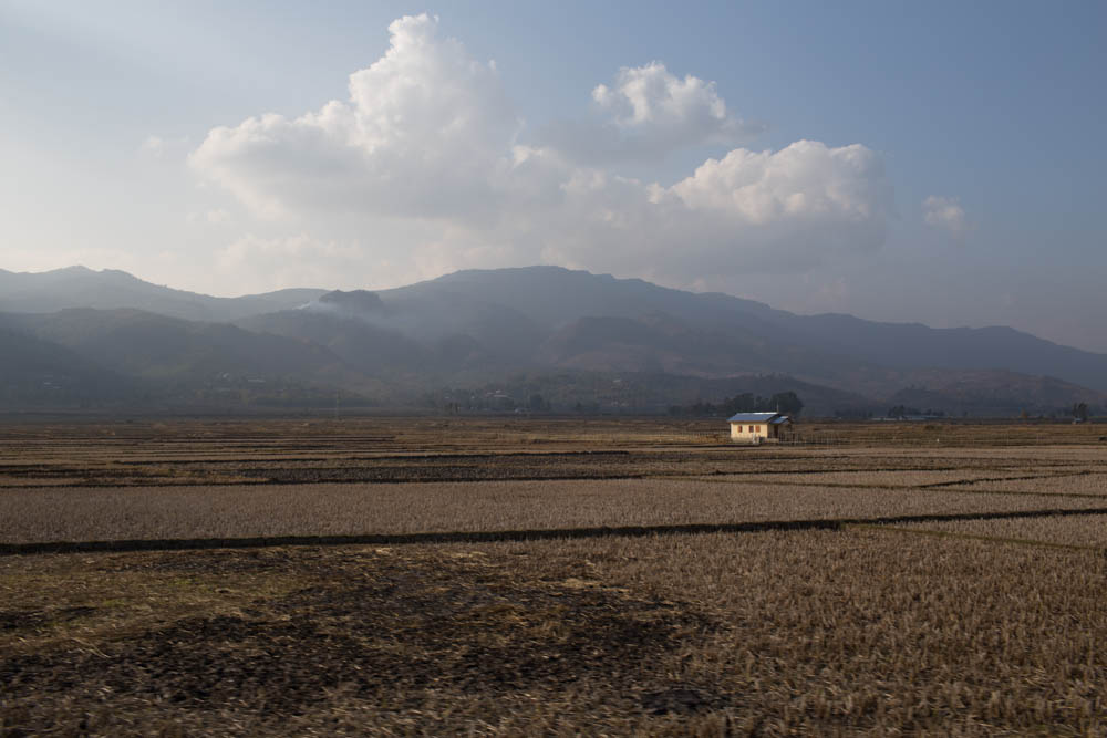
Thiyam-Konjil, Manipur
CSP_4569.JPG

CSP_4682.JPG
CSP_4662.JPG
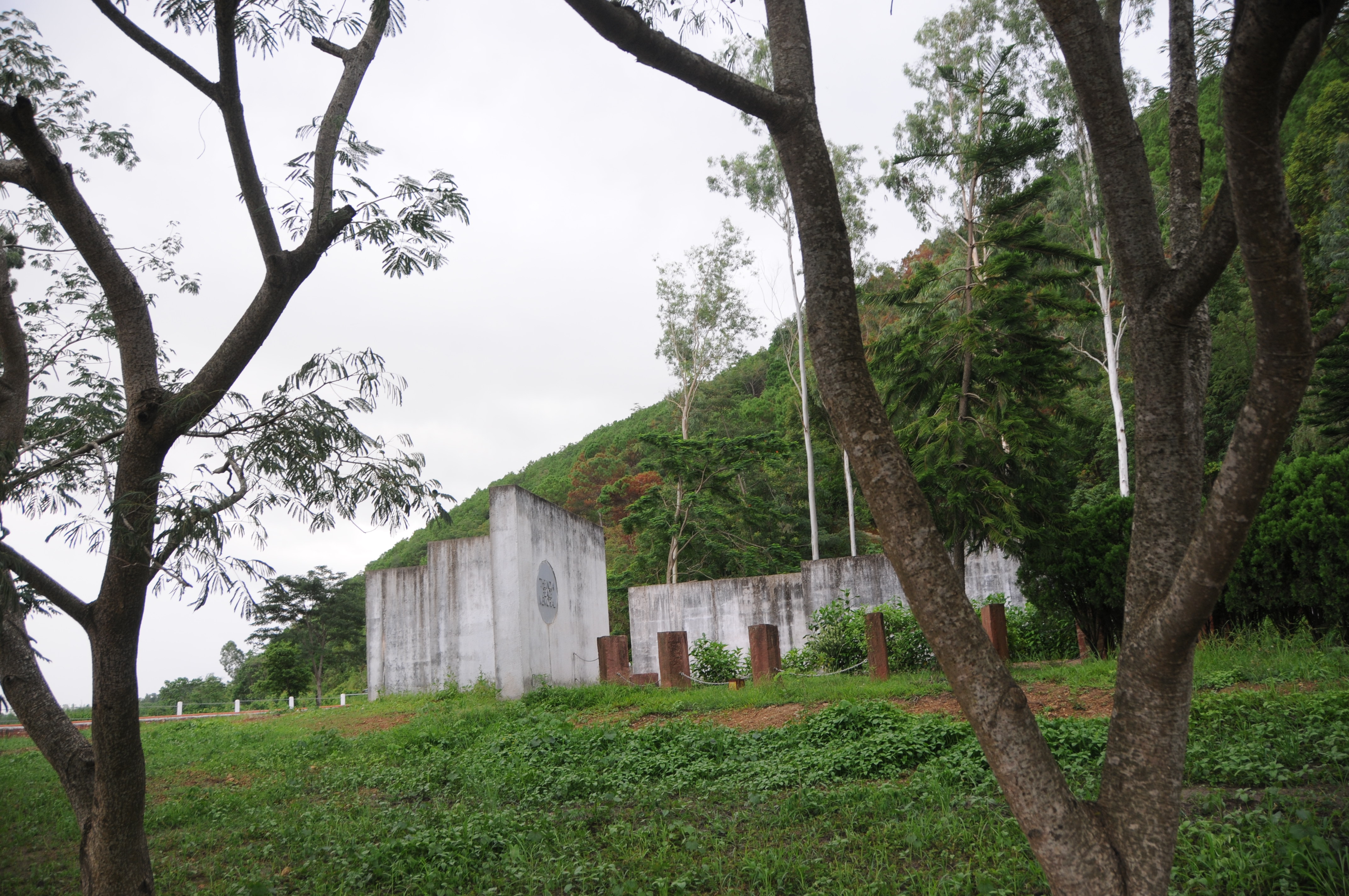
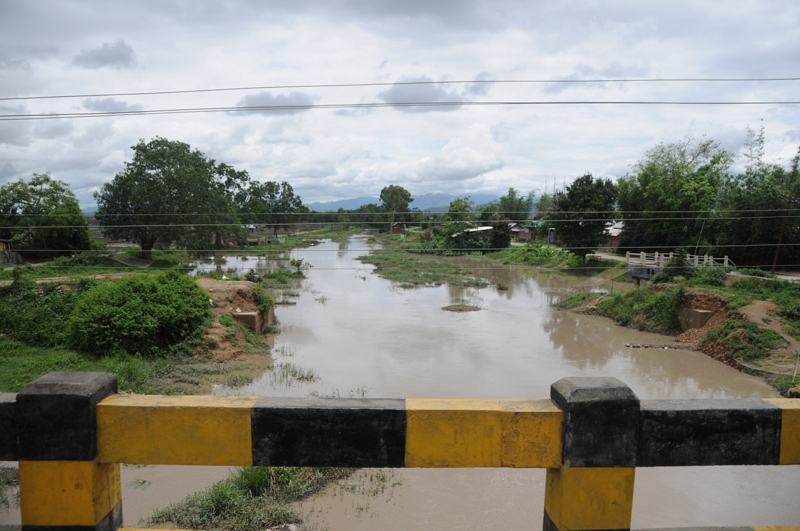
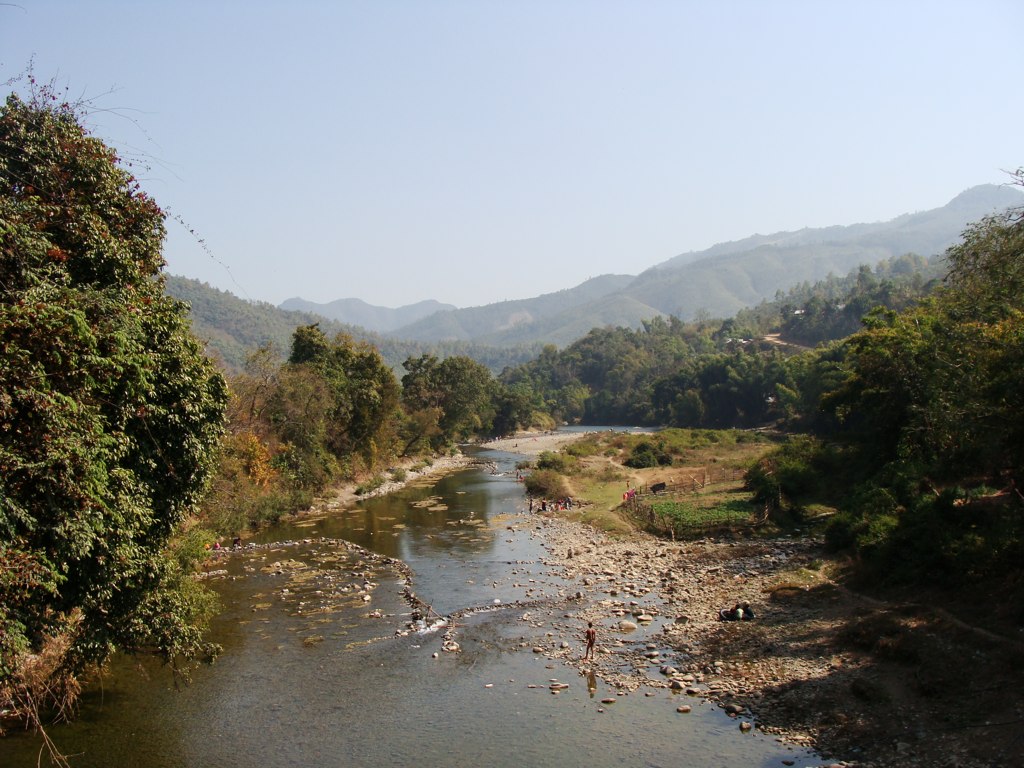
Nambol, Manipur
CSP_4553.JPG
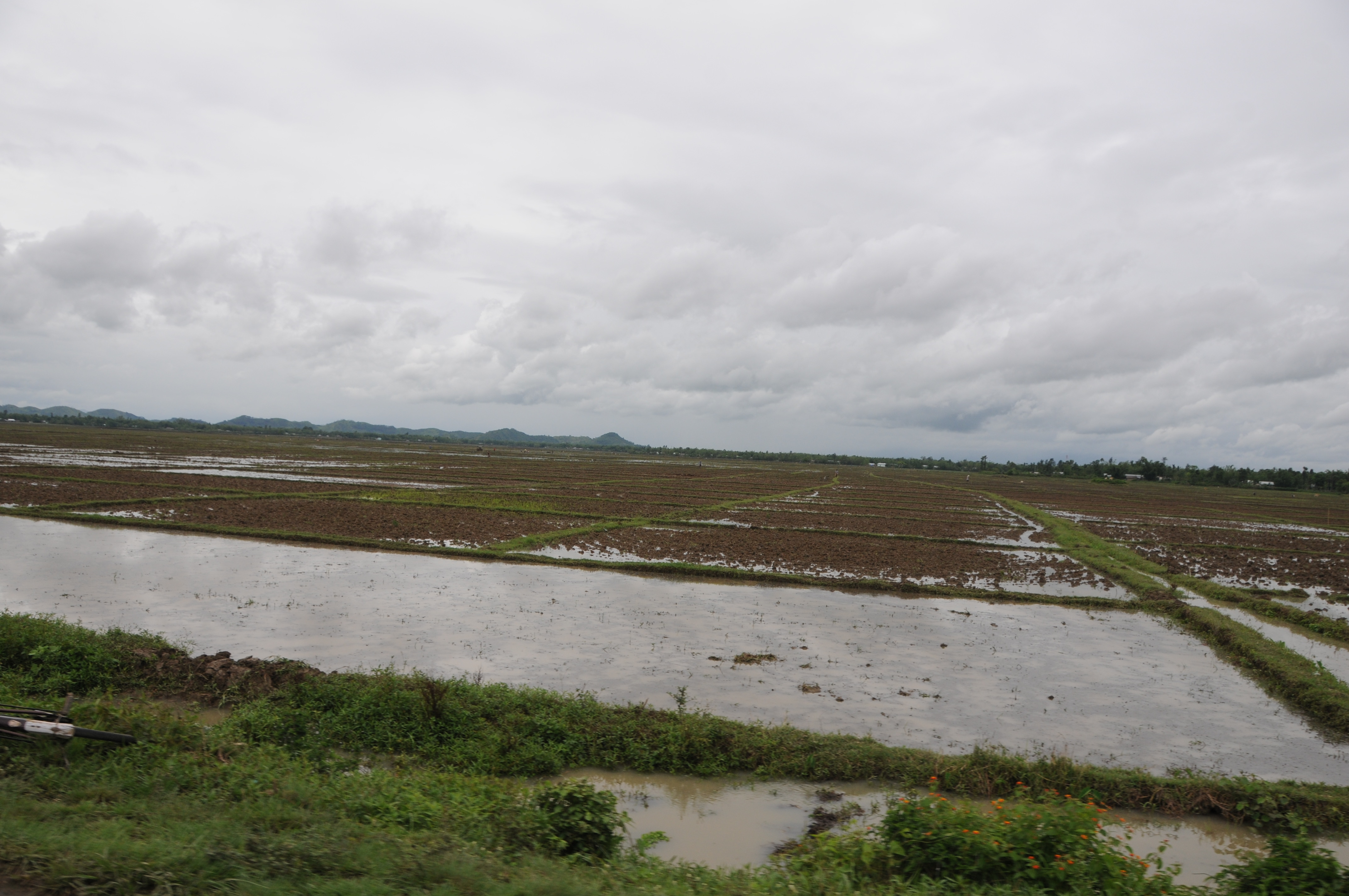
Khangabok, Manipur
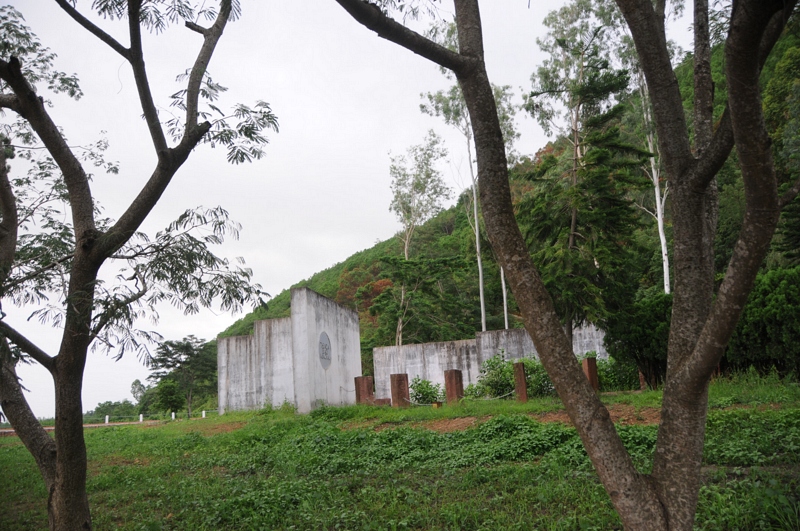
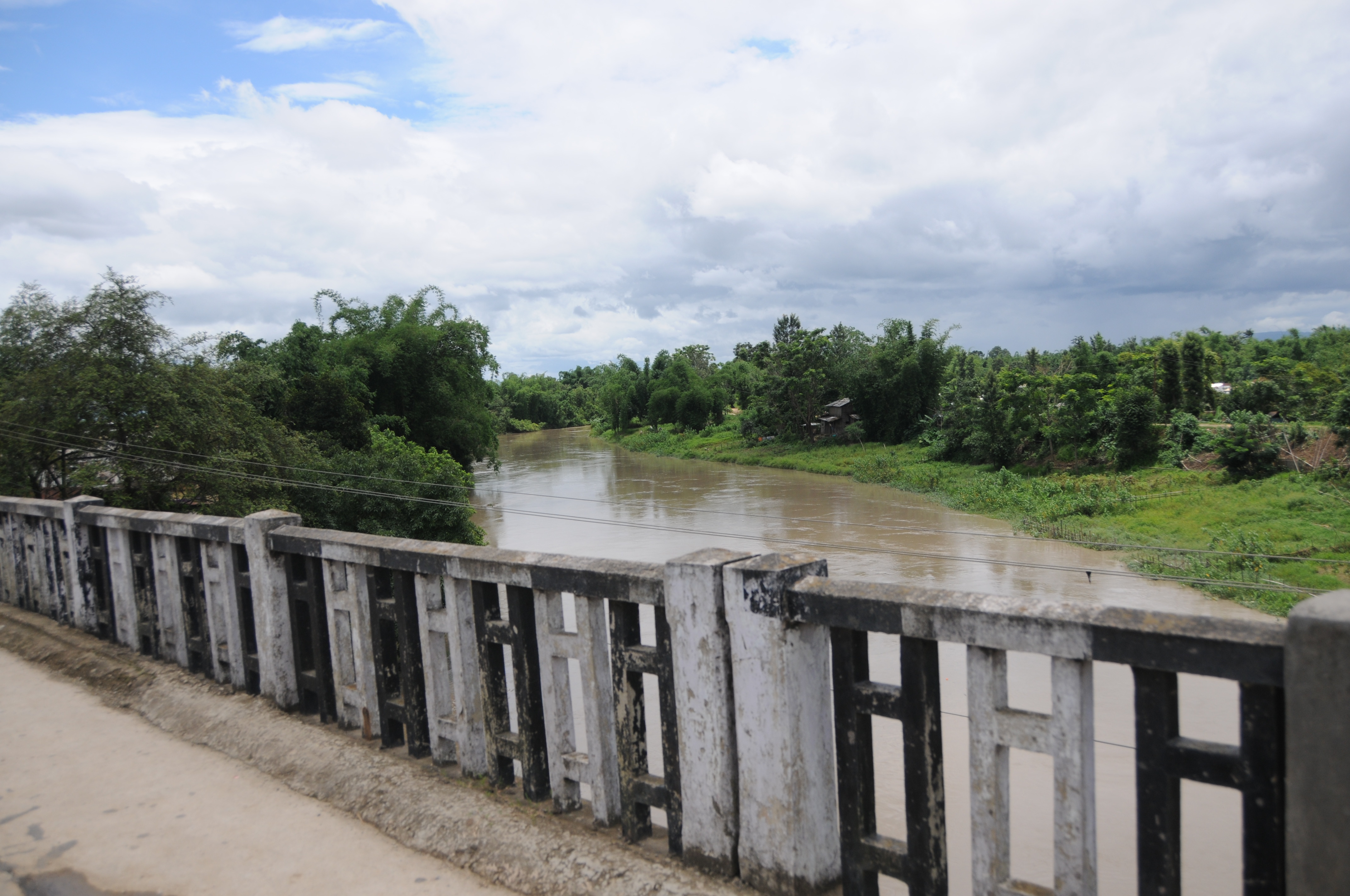
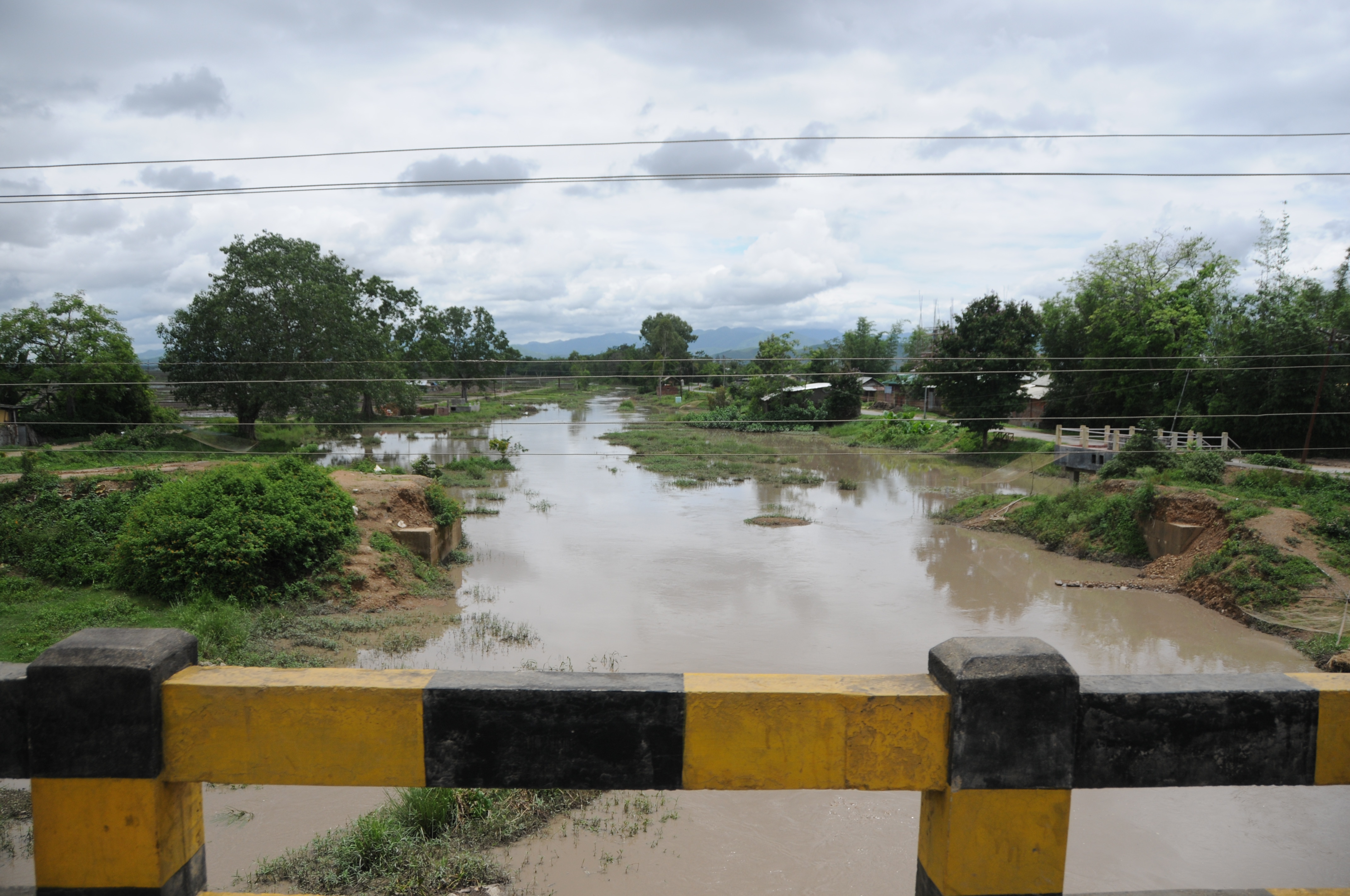
Thoubal, Manipur
CSP_4684.JPG
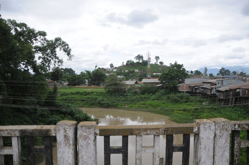
Thoubal, Manipur

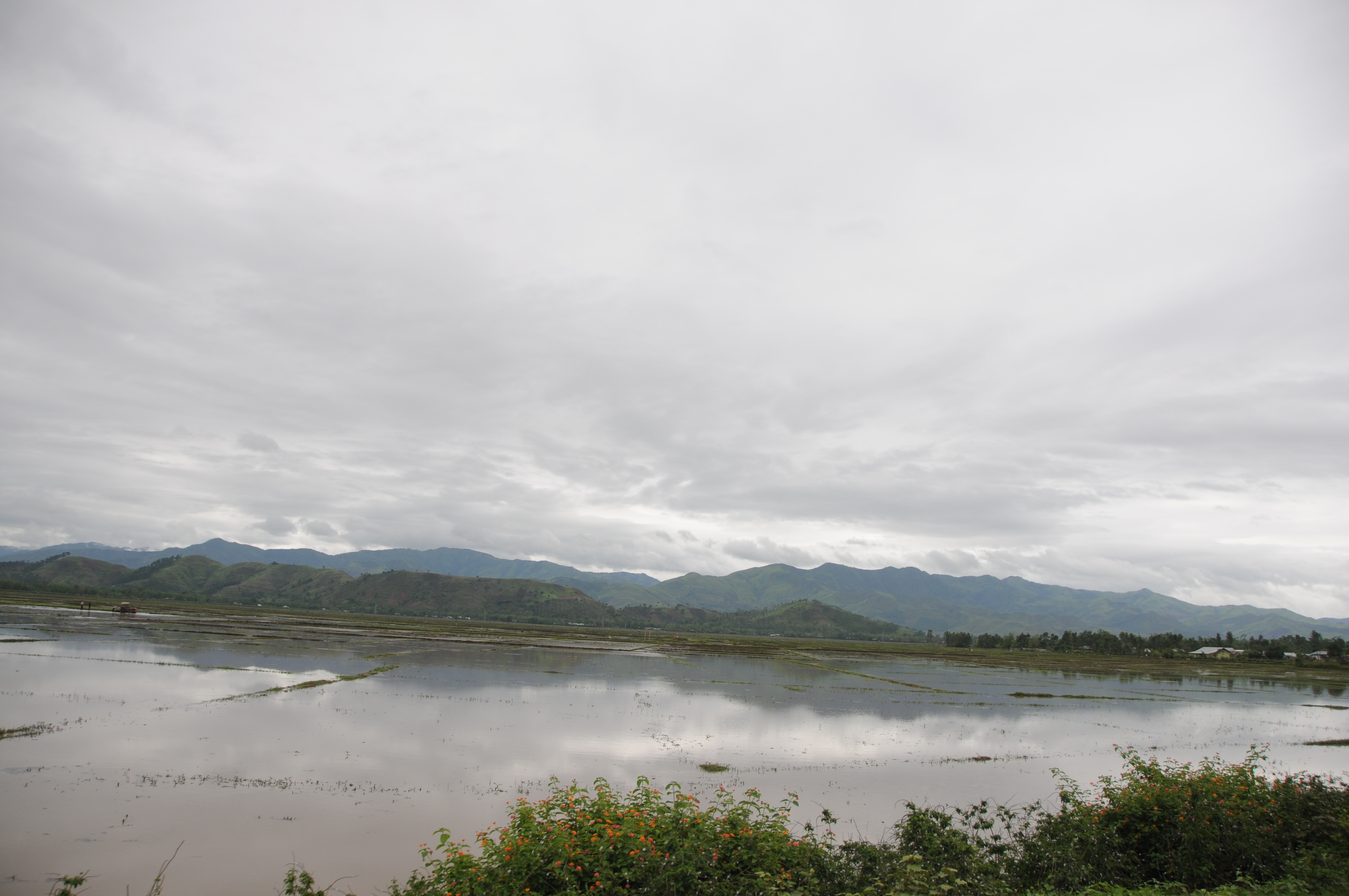
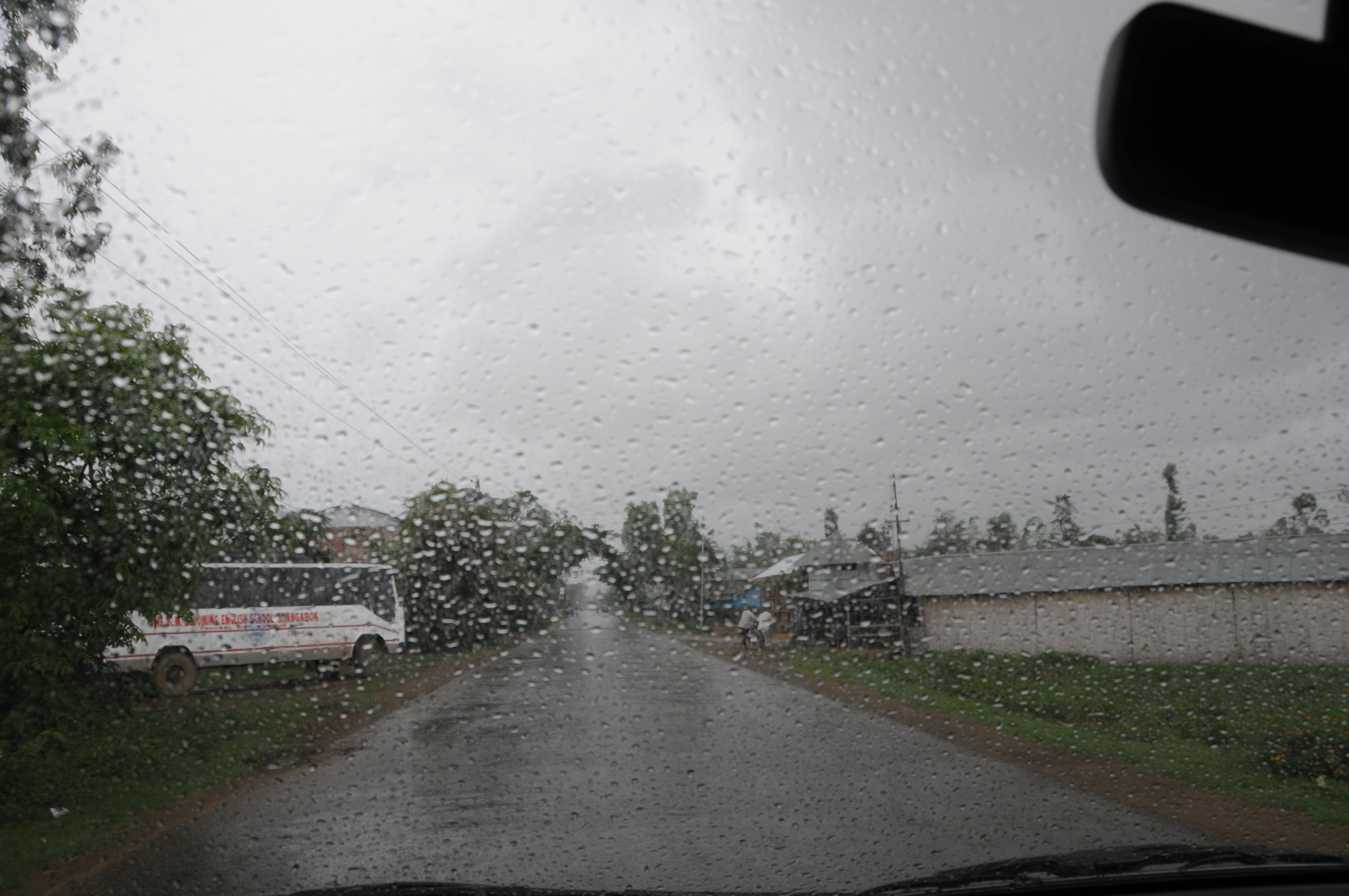
Kang Samara, Manipur
CSP_4664.JPG
CSP_4572.JPG
CSP_4570.JPG
CSP_4576.JPG
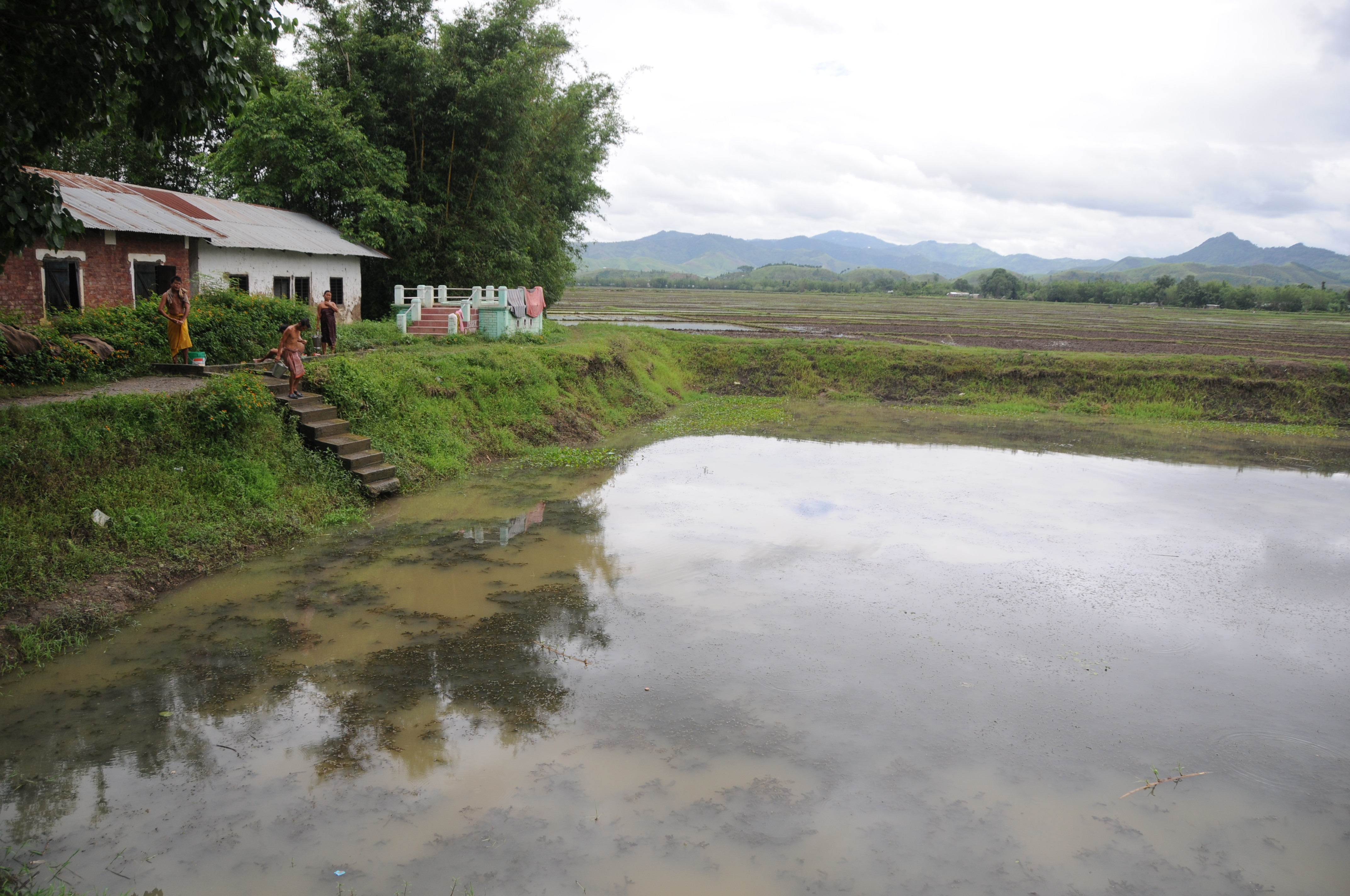
Chaobok, Manipur

CSP_4666.JPG
CSP_4679.JPG
CSP_4683.JPG

CSP_4559.JPG
Chaobok, Manipur
IMG_2247.jpg
Manipur, India

IMG_2293.jpg

Manipur, India
Topographic Map of Manipur, India
Find elevation by address:

Places in Manipur, India:
Ukhrul
Imphal
Churachandpur
Santing L
Tamenglong
Senapati
Moreh
Manipur, India
Kongba Kshetri Leikai
Places near Manipur, India:
Imphal East
Kongba Kshetri Leikai
Imphal
Rdo Nursing College, Lamshang
Legislative Assembly Of Manipur
Chingmeirong
Cheirao Ching Peak
Cheirao Ching
Nongdam Tangkhul
Phaijang
Tamenglong
Santing L
Mualhoihchiang
Manipur, India
Saichang
Mualkui
Kaihlam
Churachandpur
Lakhipur
Jatinga
Recent Searches:
- Elevation of Corso Fratelli Cairoli, 35, Macerata MC, Italy
- Elevation of Tallevast Rd, Sarasota, FL, USA
- Elevation of 4th St E, Sonoma, CA, USA
- Elevation of Black Hollow Rd, Pennsdale, PA, USA
- Elevation of Oakland Ave, Williamsport, PA, USA
- Elevation of Pedrógão Grande, Portugal
- Elevation of Klee Dr, Martinsburg, WV, USA
- Elevation of Via Roma, Pieranica CR, Italy
- Elevation of Tavkvetili Mountain, Georgia
- Elevation of Hartfords Bluff Cir, Mt Pleasant, SC, USA