Elevation of Diphu, Assam, India
Location: India > Assam > Karbi Anglong >
Longitude: 93.4298746
Latitude: 25.846525
Elevation: 197m / 646feet
Barometric Pressure: 99KPa
Elevation Map:
Satellite Map:
Related Photos:
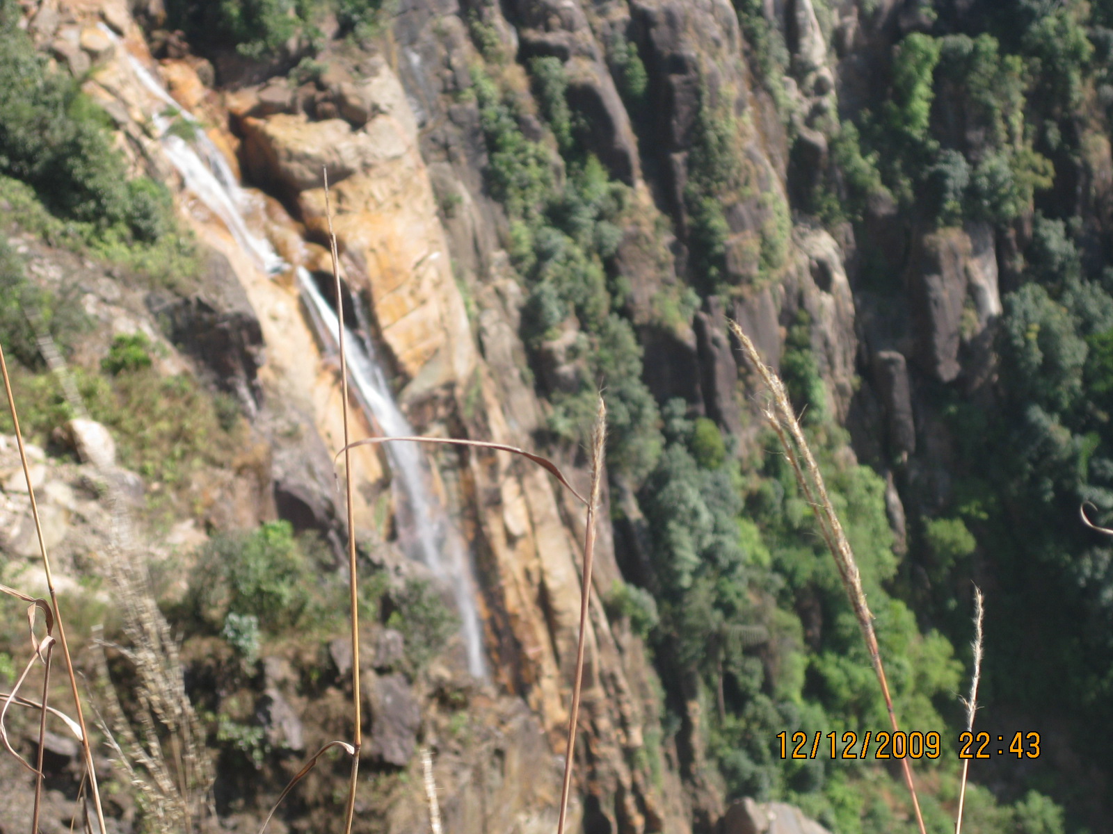
IMG_1423
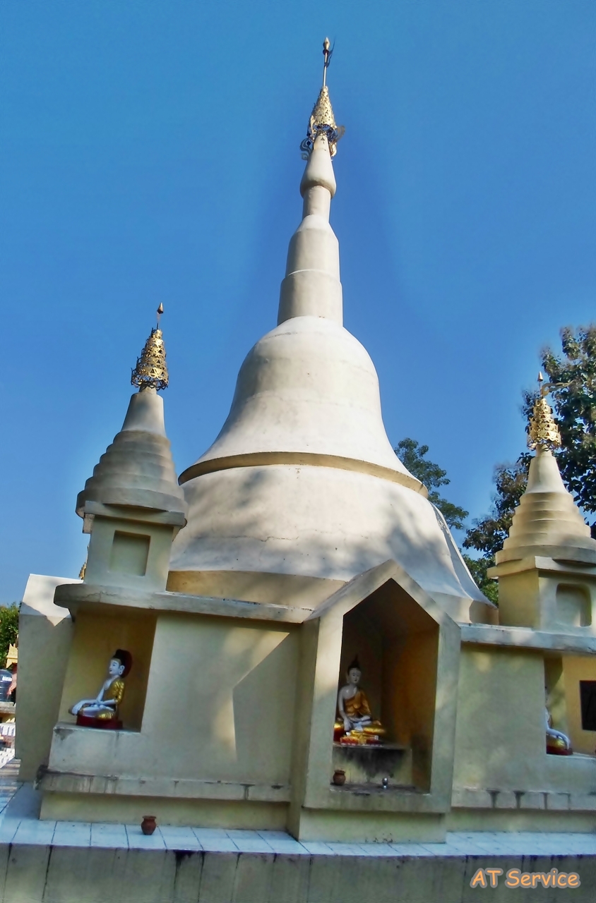
Buddhist Temple Manja.
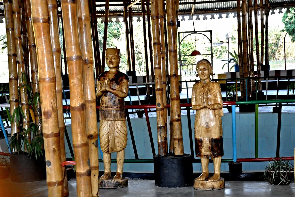
Statue-DSC_2658
Serdihun Akormandu, Diphu.
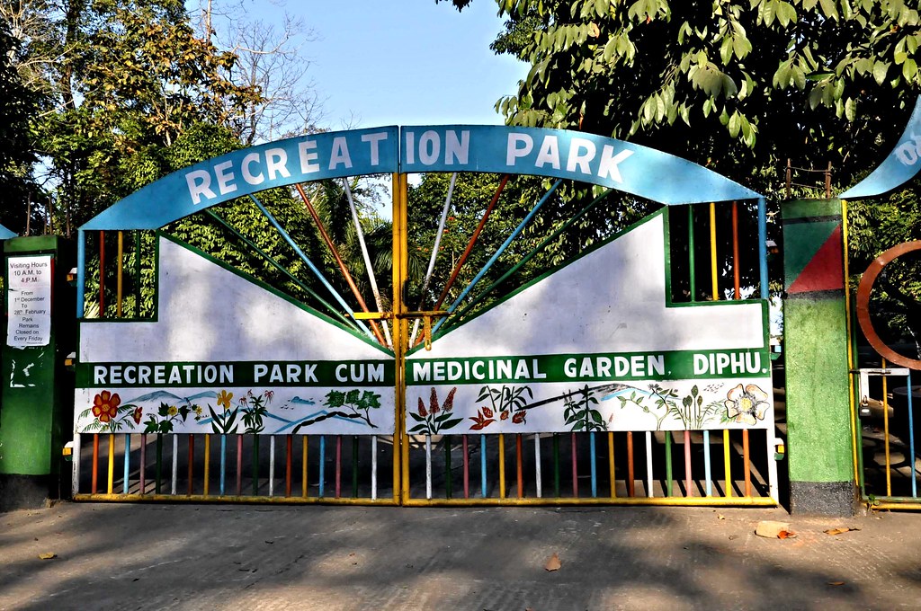
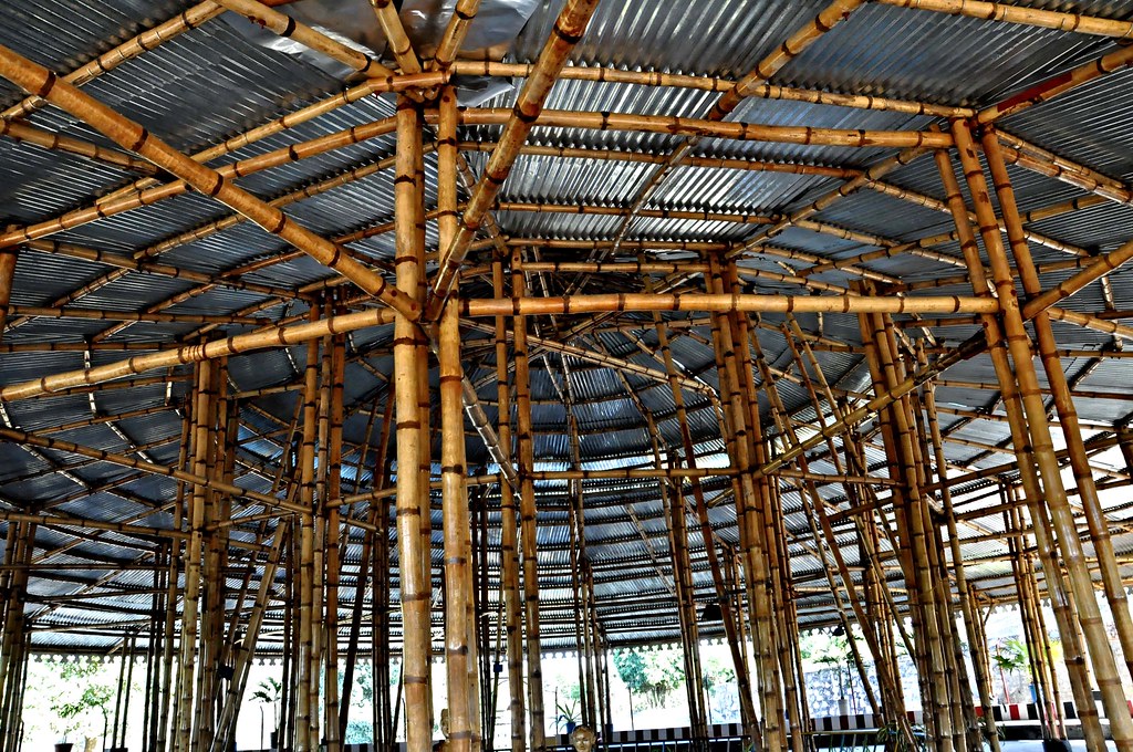
Recreation Park, Diphu
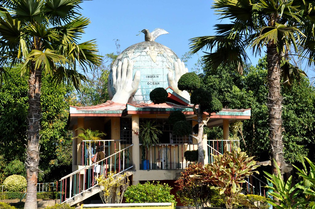
The hands that hold the world.

Jiten's frns

Jiten's frns
Topographic Map of Diphu, Assam, India
Find elevation by address:

Places near Diphu, Assam, India:
Karbi Anglong
Assam
Dima Hasao
Sangkunglong
Kohima
Kohima
Dzükou Valley Trek
Viswema
Sonitpur
Kanchanjuri
Kaziranga National Park
Maram Bazar
Golaghat
Golaghat
Senapati
Recent Searches:
- Elevation of Corso Fratelli Cairoli, 35, Macerata MC, Italy
- Elevation of Tallevast Rd, Sarasota, FL, USA
- Elevation of 4th St E, Sonoma, CA, USA
- Elevation of Black Hollow Rd, Pennsdale, PA, USA
- Elevation of Oakland Ave, Williamsport, PA, USA
- Elevation of Pedrógão Grande, Portugal
- Elevation of Klee Dr, Martinsburg, WV, USA
- Elevation of Via Roma, Pieranica CR, Italy
- Elevation of Tavkvetili Mountain, Georgia
- Elevation of Hartfords Bluff Cir, Mt Pleasant, SC, USA