Elevation of Sebewaing, MI, USA

Location: United States > Michigan > Huron County > Sebewaing Township >

Longitude: -83.451072

Latitude: 43.7322394

Elevation: 179m / 587feet

Barometric Pressure: 99KPa

Elevation Map:

elevation map of Sebewaing, MI, USA

Satellite Map:

Satellite map of Sebewaing, MI, USA

Related Photos:

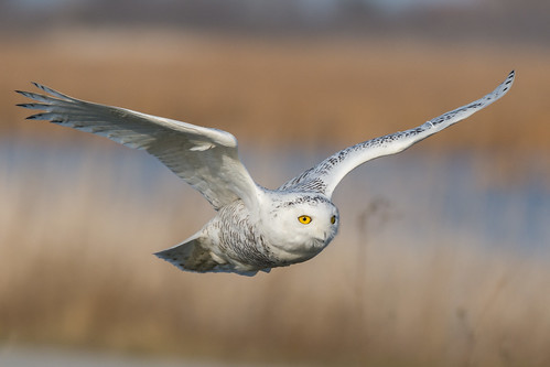
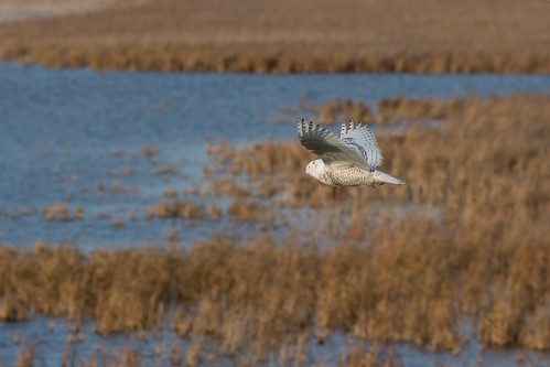
buboscandiacus snowyowl snowyowlinflight birdinflight owl fishpointswa michigan 1000views onethousandviews
Snowy Owl - Bubo scandiacus
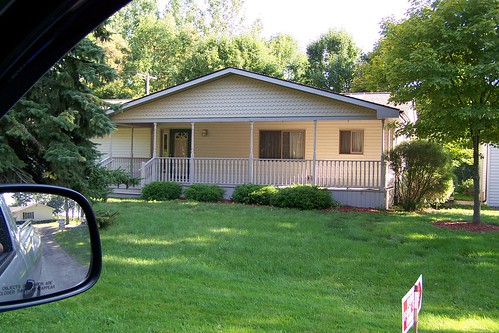
house
Select Profile above!!!
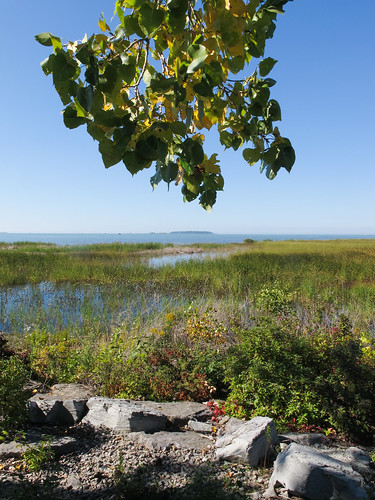
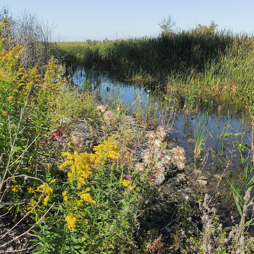
2014 20140927 bayport bayportaccesssite bayportmichigan bayportlandscape fairhaventownship fairhaventownshipmichigan huroncounty huroncountymichigan huroncountylandscape img7390 lakehuron lakehuronlandscape michigan michiganthumb michiganlandscape michigansthumb saginawbay saginawbaylandscape september september2014 thethumb thethumbofmichigan bay cloudlesssky eastmichigan eastcentralmichigan easternmichigan gravel lakeshorelandscape landscape publicaccesssite rocks sunny sunnylandscape treebranch view wetland wetlandlandscape wetlandplants
View of SAGINAW BAY!
house lake rose port island for bay duck view sale michigan hunting lodge access oaks hunt saginaw sebewaing
Association Park
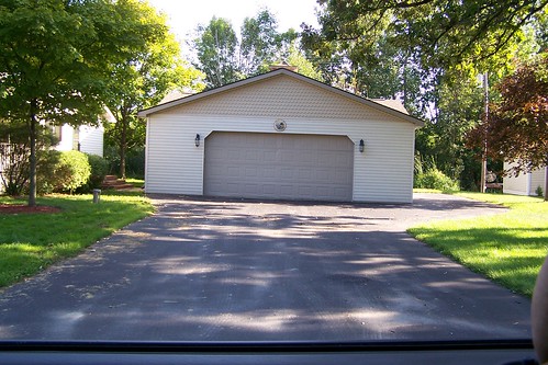
garage
Select Map above!!!!!!
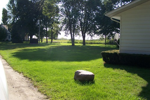
lake association frontage
Select Slideshow above!!!!
Front View
Lake View from Porch
Front View
Front View
Lake View from Porch
Front View
Front View
Front View
Street View from Porch
Lake View from Kitchen Sink
Association Lake Access Duck Hunting Hunt Lodge For Sale Saginaw Bay Michigan Sebewaing Rose Island Oaks Waterfowl
snowyowl owl fishpointswa snowyowlinflight michigan
Snowy Owl over Fish Point SWA
Association Lake Access
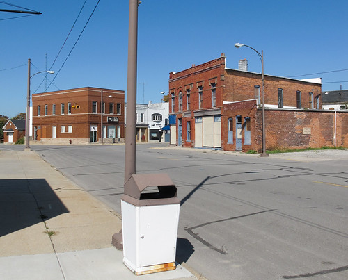
2014 20140927 eastmainstreet img7210 mainstreet michigan michiganthumb michiganlandscape michigansthumb sebewaing sebewaingmichigan sebewaingstreetscape september september2014 thethumb thethumbofmichigan tuscolacounty tuscolacountymichigan tuscolacountylandscape brickbuildings centralbusinessdistrict cloudlesssky downtown downtownsebewaing downtownbuildings downtownstreetscape eastmichigan eastcentralmichigan easternmichigan electriclines garbagecan landscape lightpoles municipalgarbagecan municipaltrashcan paved pavement powerlines publicgarbagecan publictrashcan rust sidewalk sidewalkgarbagecan sidewalktrashcan smalltownlandscape smalltownstreetscape street streetlights streetscape sunny trashcan urbanlandscape unitedstates
Municipal garbage can of downtown Sebewaing, Michigan.
2014 20140927 bayport bayportaccesssite bayportmichigan bayportlandscape fairhaventownship fairhaventownshipmichigan huroncounty huroncountymichigan huroncountylandscape img7379 lakehuronlandscape michigan michiganthumb michigansthumb saginawbay saginawbaylandscape saginawbaywetlands september september2014 thethumb thethumbofmichigan autumnflowers autumnwildflowers cloudlesssky eastmichigan eastcentralmichigan easternmichigan fallflowers fallwildflowers goldenrod largeshadow shadow sunny sunnylandscape sunnywetland thistle treeshadow wetland wetlandflowers wetlandlandscape wetlandplants wetlandwildflowers wildflowers unitedstates
Go to WETLANDS to see goldenrods and thistles, if you are having a hard time finding them other places.
nature
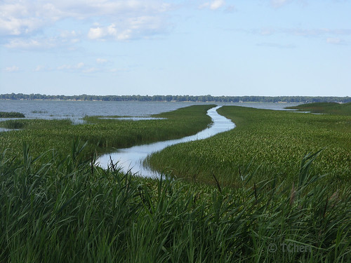
Boat path
instagramapp square squareformat iphoneography uploaded:by=instagram
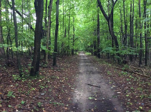
This trail was used by First Nation tribes in Michigan's Thumb for over 1,000 years. It went from roughly Bay City to Port Austin. Can anyone name it? #puremichigan #oralabora #michigan #ilovemi #michigansthumb #trails