Elevation of Kilmanagh Rd, Pigeon, MI, USA

Location: United States > Michigan > Huron County > Oliver Township >

Longitude: -83.238021

Latitude: 43.758729

Elevation: 196m / 643feet

Barometric Pressure: 99KPa

Elevation Map:

elevation map of Kilmanagh Rd, Pigeon, MI, USA

Satellite Map:

Satellite map of Kilmanagh Rd, Pigeon, MI, USA

Related Photos:

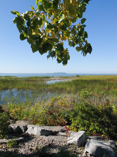
2014 20140927 bayport bayportaccesssite bayportmichigan bayportlandscape fairhaventownship fairhaventownshipmichigan huroncounty huroncountymichigan huroncountylandscape img7390 lakehuron lakehuronlandscape michigan michiganthumb michiganlandscape michigansthumb saginawbay saginawbaylandscape september september2014 thethumb thethumbofmichigan bay cloudlesssky eastmichigan eastcentralmichigan easternmichigan gravel lakeshorelandscape landscape publicaccesssite rocks sunny sunnylandscape treebranch view wetland wetlandlandscape wetlandplants
View of SAGINAW BAY!
2014 20140927 huroncounty huroncountylandscape img7507 michigan michiganthumb michiganlandscape michigansthumb september september2014 steinroad thethumb thethumbofmichigan thumblandscape winsortownship winsortownshipmichigan winsortownshiplandscape cloudlesssky countrylandscape eastmichigan eastcentralmichigan easternmichigan electriclines electrictransmissiontowers electricaltransmissiontowers landscape overheadelectriclines overheadpowerlines paved pavement powerlines road roadside roadsidelandscape rurallandscape sunny sunnylandscape transmissionlines transmissiontowers view pigeon unitedstates
Transmission of electricity during an occurrence of autumn sunlight on the Thumb of Michigan.
felendzer
05/06/2010 Rocznik 1952. Prawie sami Niemcy (view > all sizes > original)
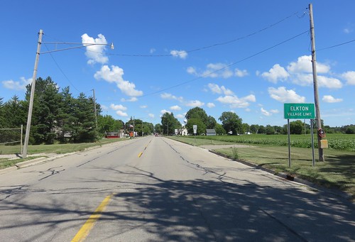
michigan mi lowerpeninsula citywelcomesigns landscapes huroncounty elkton michigansthumb thethumb northamerica unitedstates us
Elkton, Michigan
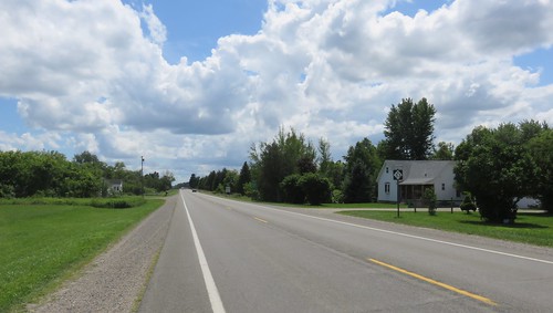
michigan mi lowerpeninsula landscapes tuscolacounty michigansthumb thethumb northamerica unitedstates us
Entering Tuscola County (Tuscola County, Michigan)
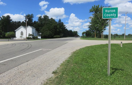
michigan mi lowerpeninsula countysigns statesigns landscapes huroncounty michigansthumb thethumb northamerica unitedstates us
Entering Huron County (Huron County, Michigan)
sky broken barn nikon michigan farm driveby bones sunnyday wheatgrass fallingdown huroncounty m53
All the worlds a sunny day
Somewhere In Michigan
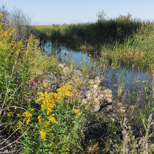
2014 20140927 bayport bayportaccesssite bayportmichigan bayportlandscape fairhaventownship fairhaventownshipmichigan huroncounty huroncountymichigan huroncountylandscape img7379 lakehuronlandscape michigan michiganthumb michigansthumb saginawbay saginawbaylandscape saginawbaywetlands september september2014 thethumb thethumbofmichigan autumnflowers autumnwildflowers cloudlesssky eastmichigan eastcentralmichigan easternmichigan fallflowers fallwildflowers goldenrod largeshadow shadow sunny sunnylandscape sunnywetland thistle treeshadow wetland wetlandflowers wetlandlandscape wetlandplants wetlandwildflowers wildflowers unitedstates
Go to WETLANDS to see goldenrods and thistles, if you are having a hard time finding them other places.
windmill michigan turbine windenergy huroncounty olivertownship
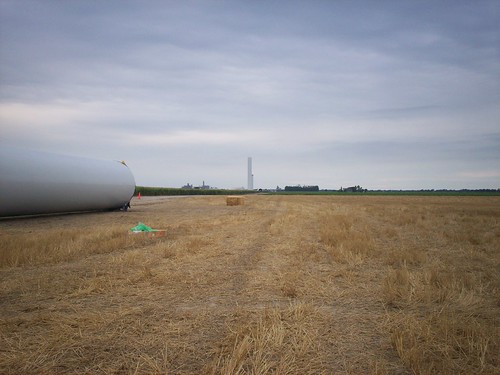
Turbine 24: Before
michigan mi lowerpeninsula landscapes huroncounty bayport michigansthumb thethumb northamerica unitedstates us
Thumb Landscape (Bay Port, Michigan)
county bestof michigan huron casevilletrip
Almost frozen
windmill michigan turbine windenergy huroncounty olivertownship
Construction of wind farm in Michigan
nature
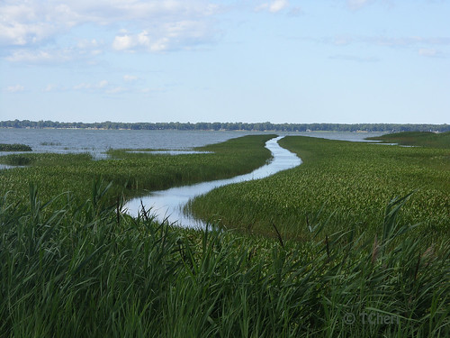
Boat path
instagramapp square squareformat iphoneography uploaded:by=instagram
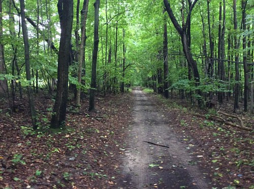
This trail was used by First Nation tribes in Michigan's Thumb for over 1,000 years. It went from roughly Bay City to Port Austin. Can anyone name it? #puremichigan #oralabora #michigan #ilovemi #michigansthumb #trails