Elevation of Sde Boker, Israel
Location: Israel > South District > Be'er Sheva >
Longitude: 34.793098
Latitude: 30.873611
Elevation: 477m / 1565feet
Barometric Pressure: 96KPa
Elevation Map:
Satellite Map:
Related Photos:

The three musketeers :-) Israel Air Force

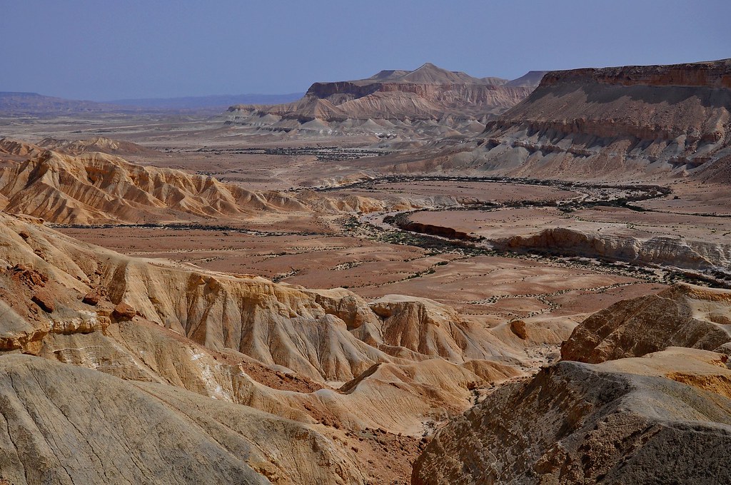
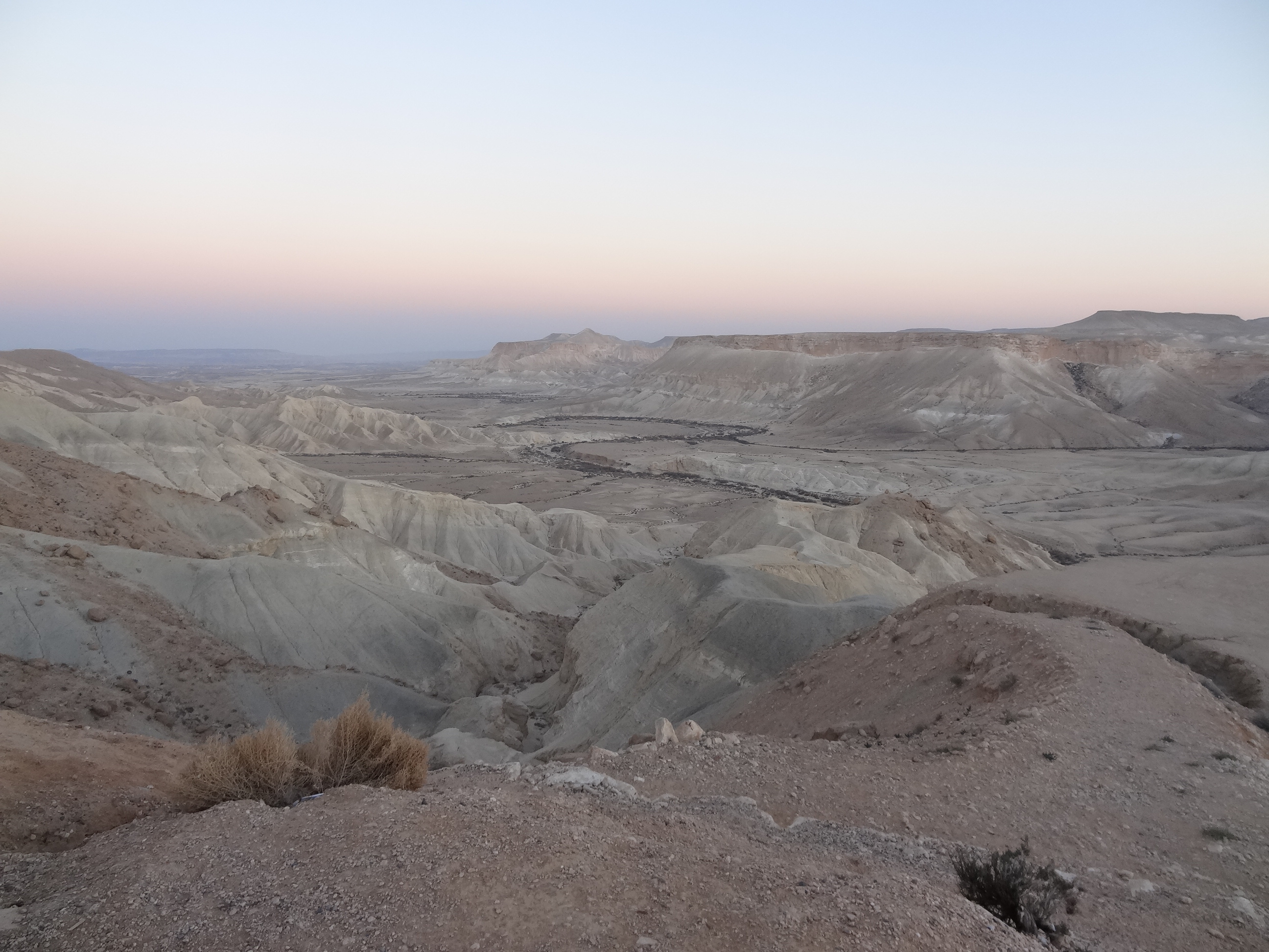
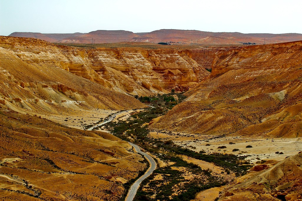
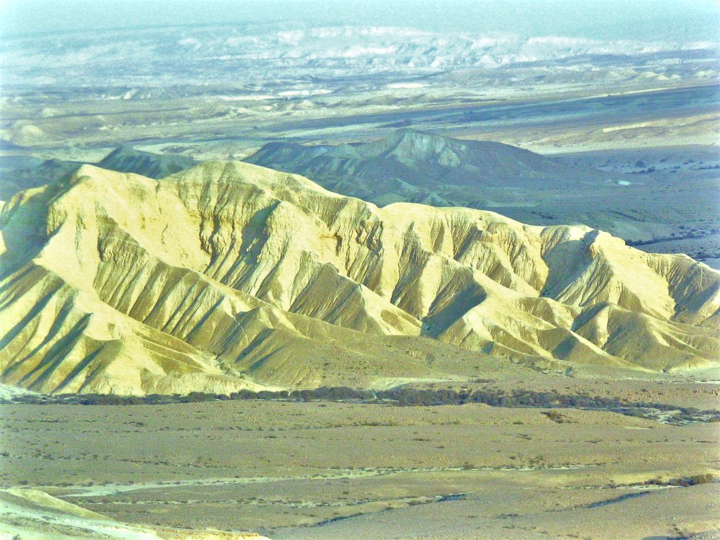
Zin valley of the Negev desert (A newer one)
View from Avdat
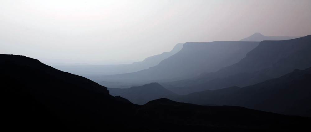
View on Judaean desert
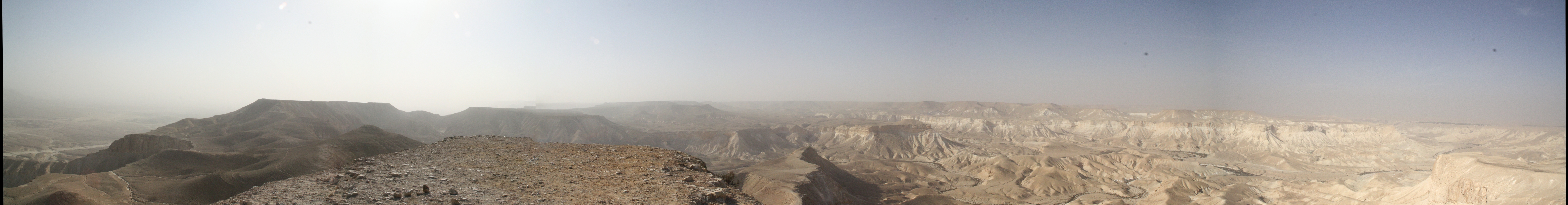
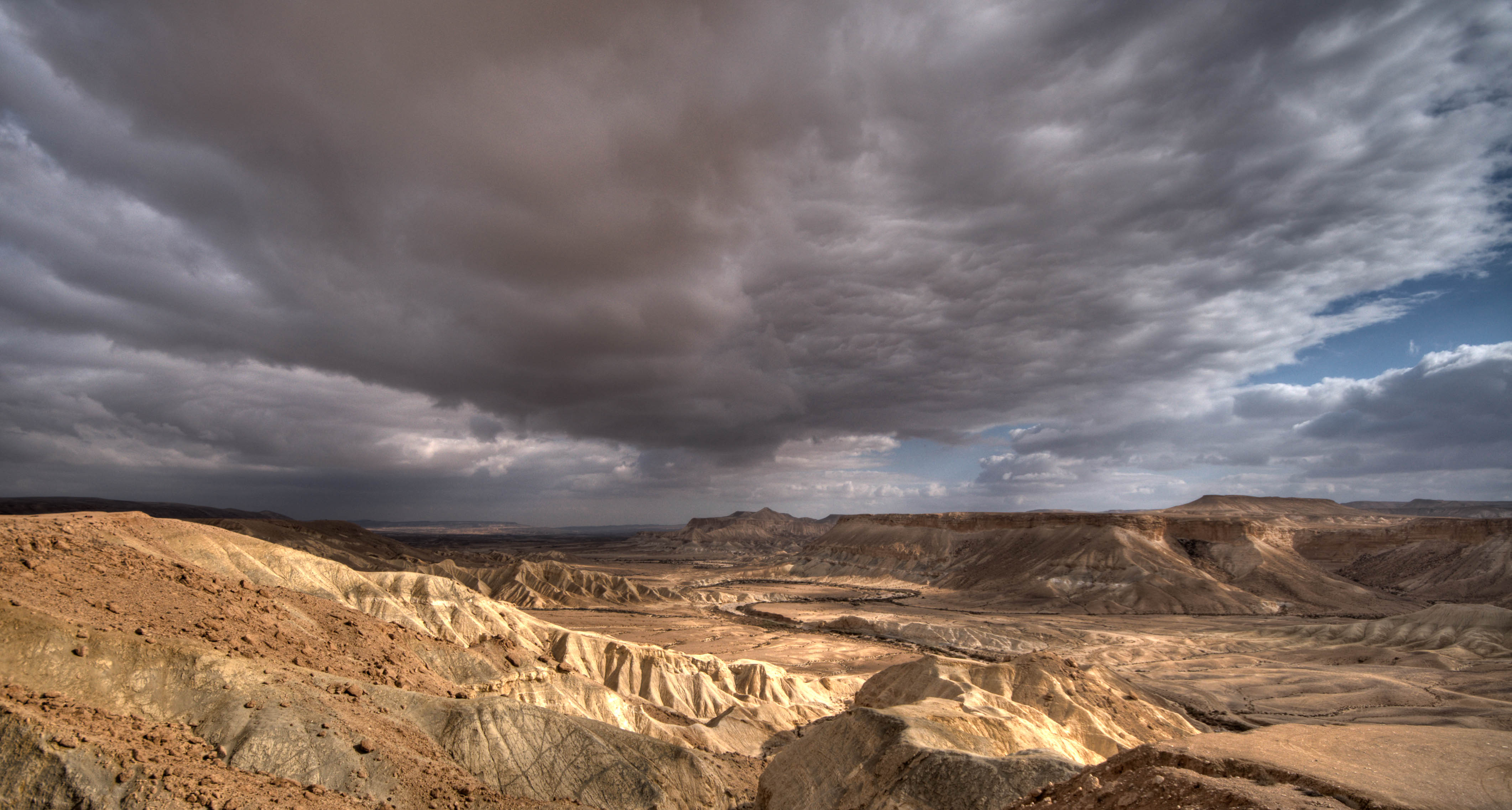
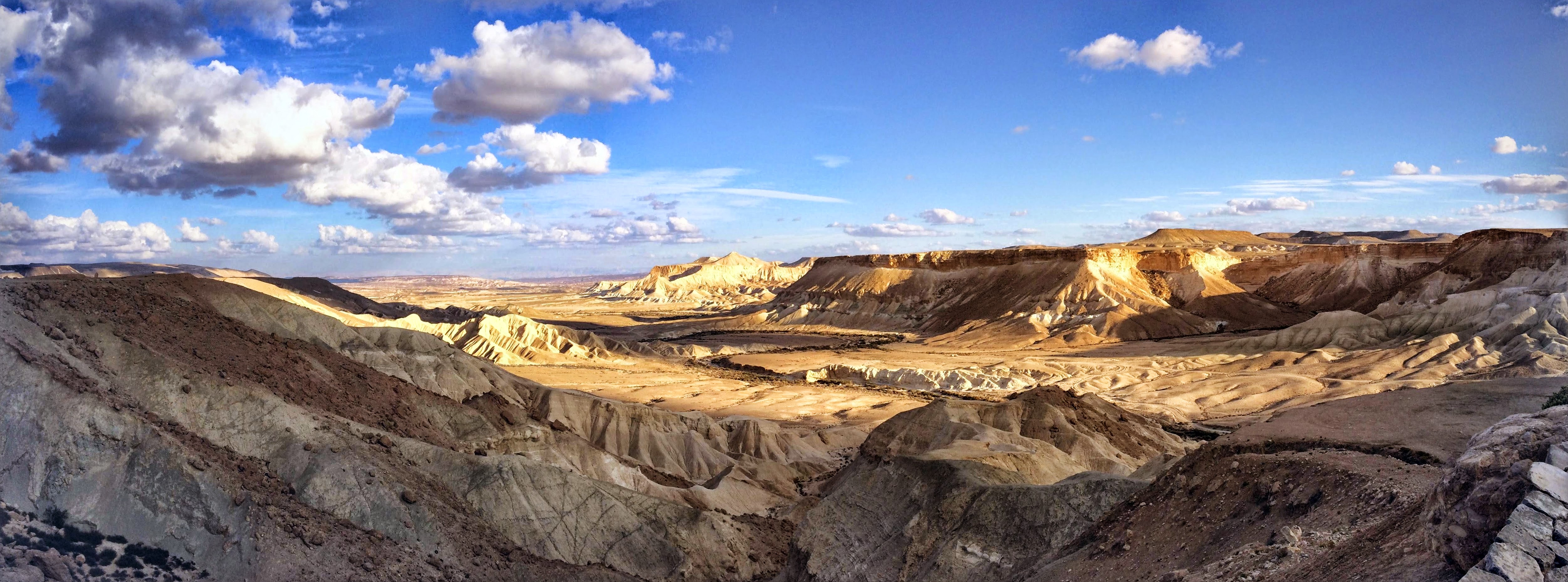
Panorama View from Hod Akev

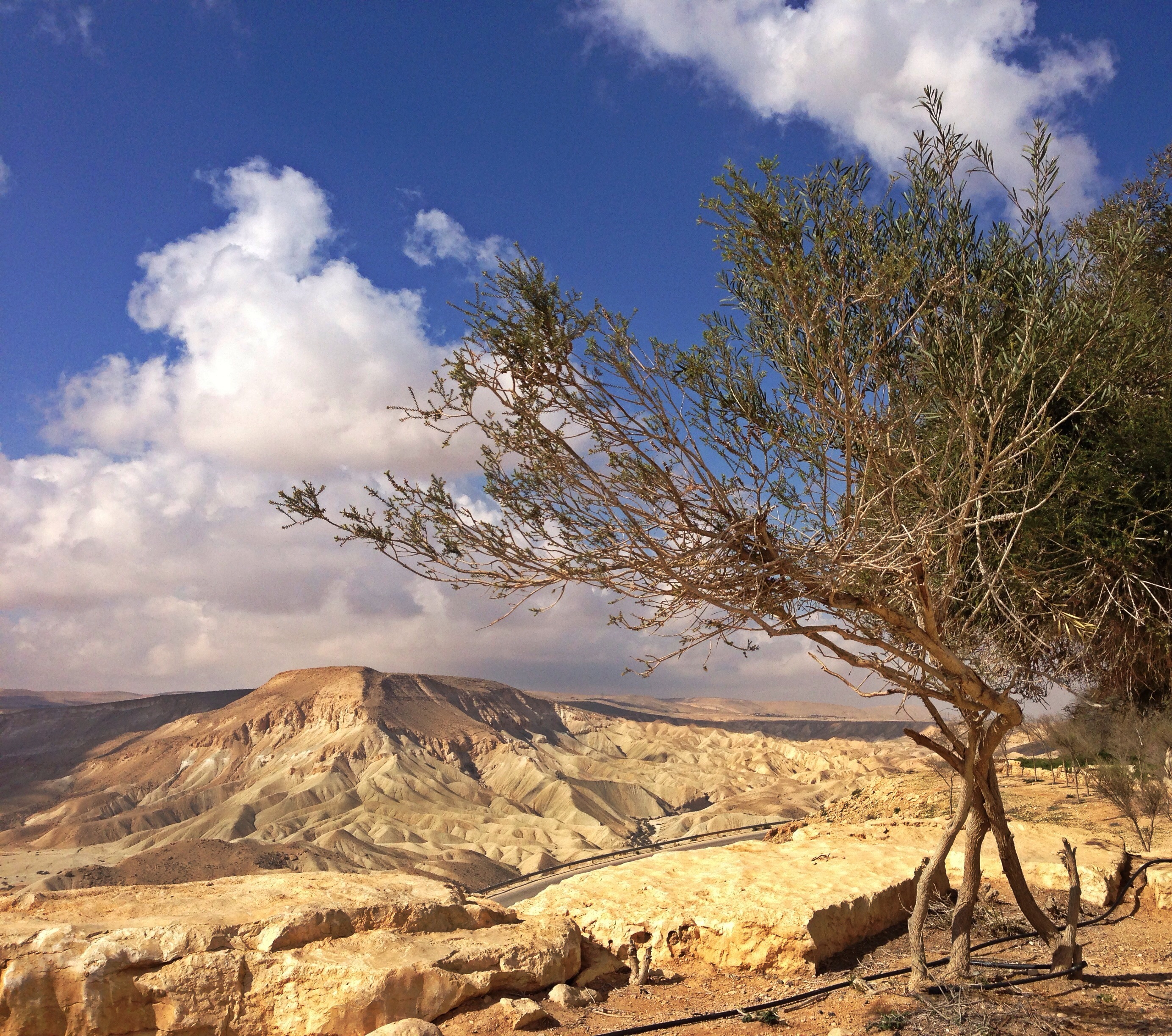
Trees and mountains
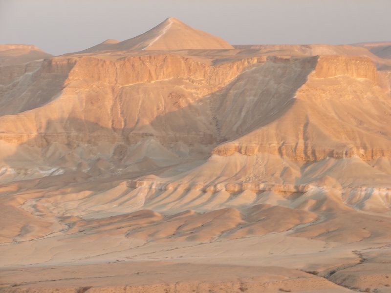
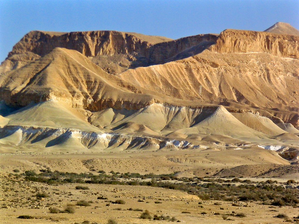
Desert mountain
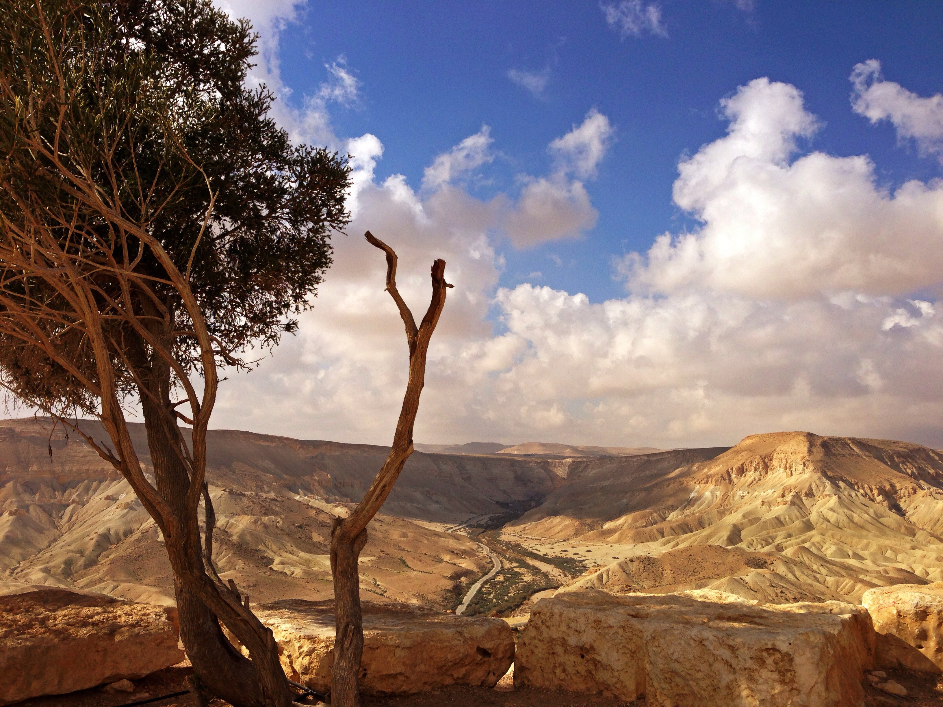
Another beautiful view
060825 (35)
Sde Boker
Beautiful desolation
060824 (38)
2007 May 23 israel trip IMG_2673 copy
2007 May 23 israel trip IMG_2678 copy

060824 (42)
view from ben gurion memorial

View into the Negev desert, seen from the tombs of Paula and David Ben-Gurion.

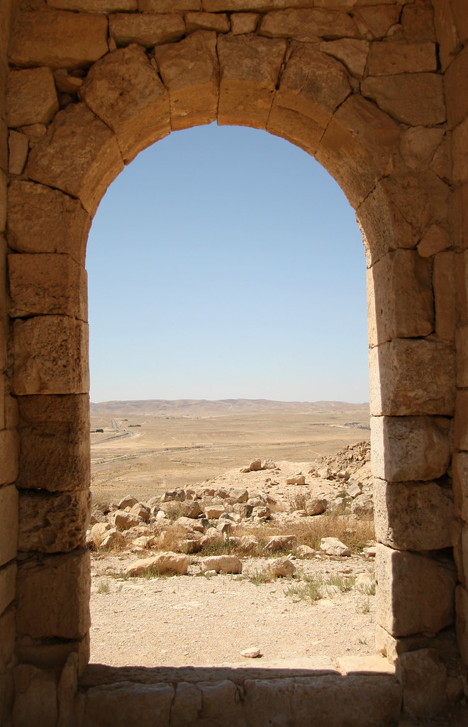
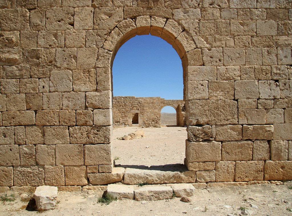
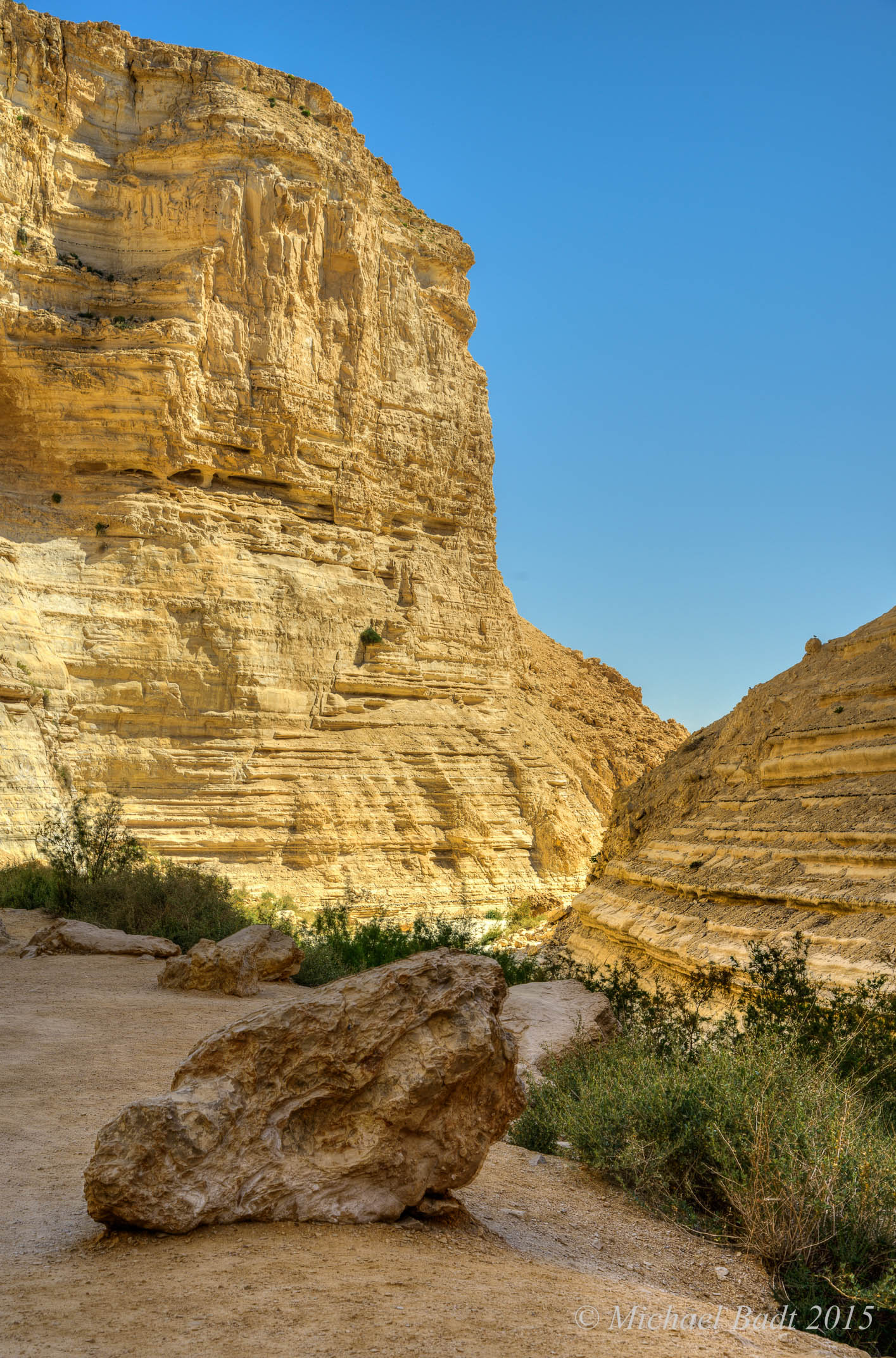
The Ancient city of Avdat

The Ancient city of Avdat

The Ancient city of Avdat

The Ancient city of Avdat

Ovdat-0159-20150508And2more-HDRI.jpg
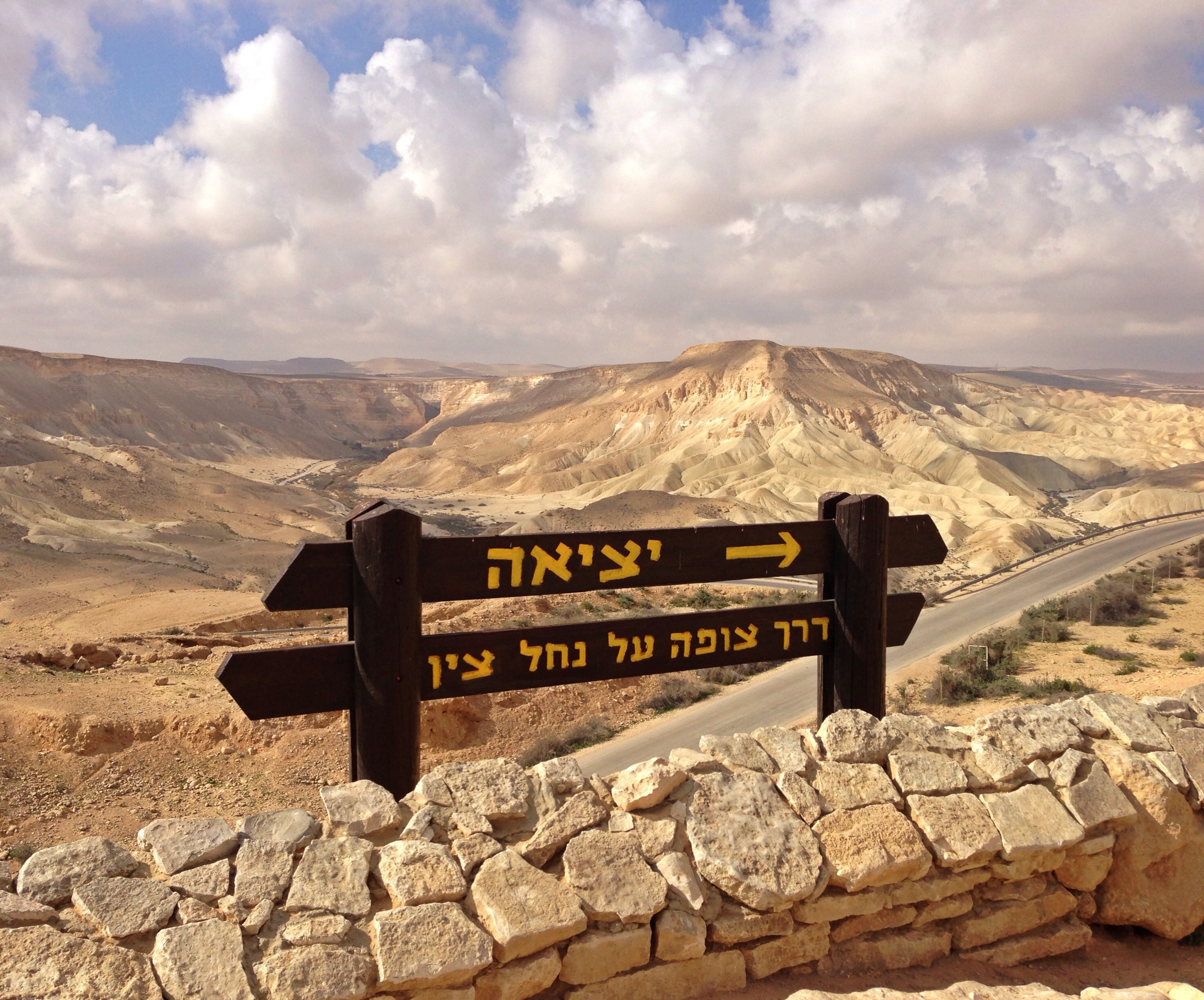
the way to Ein Ovdat - Negev desert - Israel

Ovdat-0057-20150508And2more-HDRI.jpg
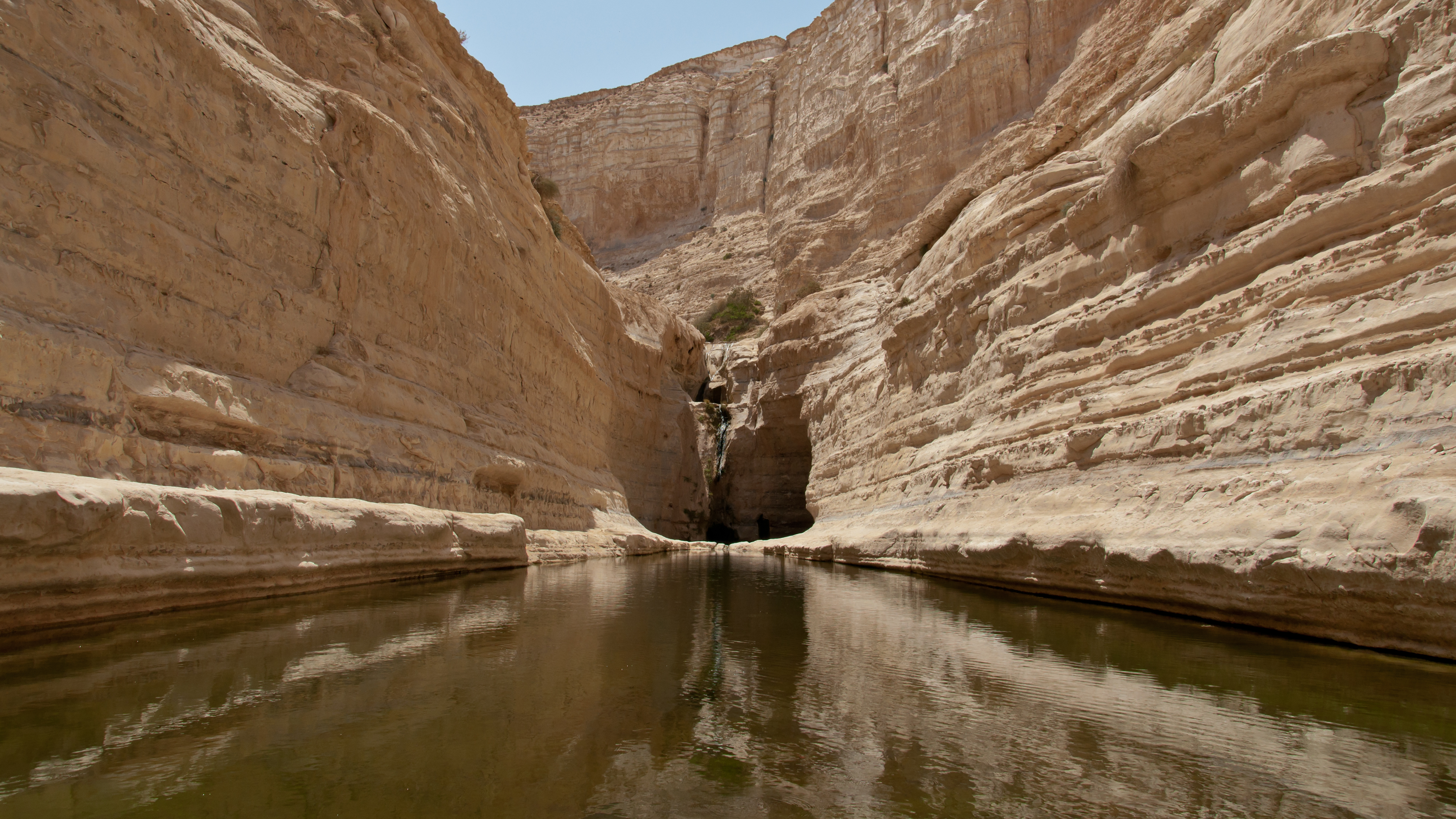
Ein Avdat I
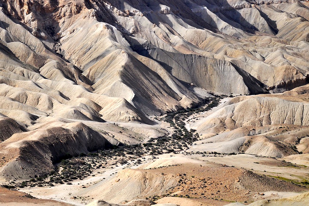
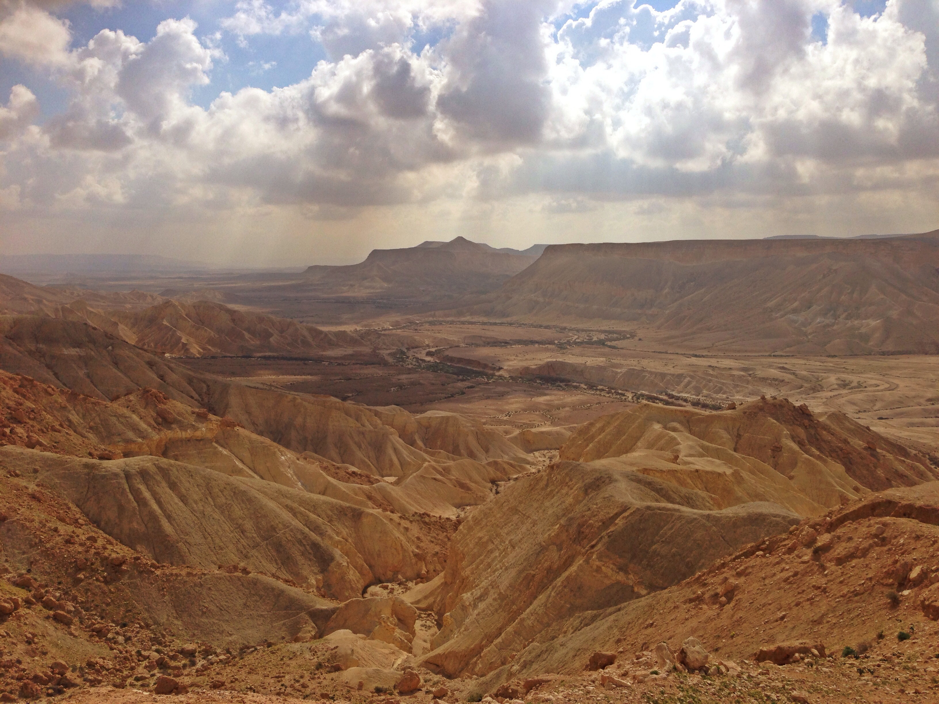
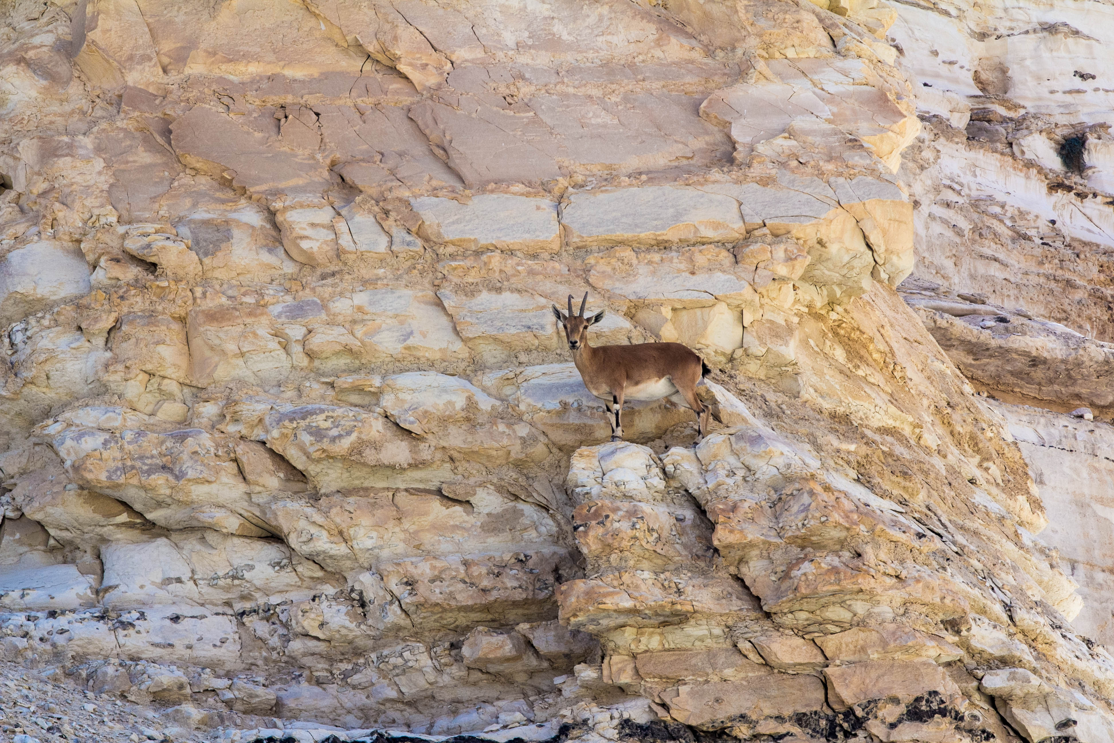
Negev desert
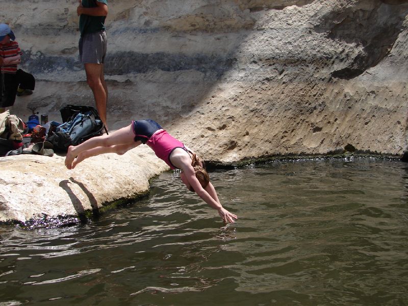
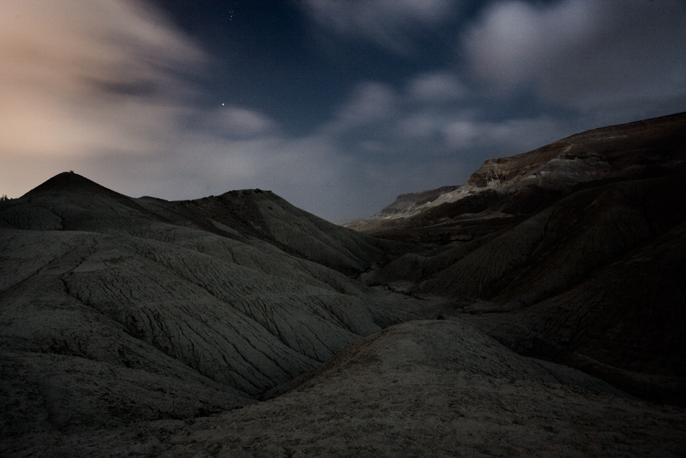
A chilly water for exhausted soul - מים צוננים לנפש עייפה -A TImelapse journey through Israel project.
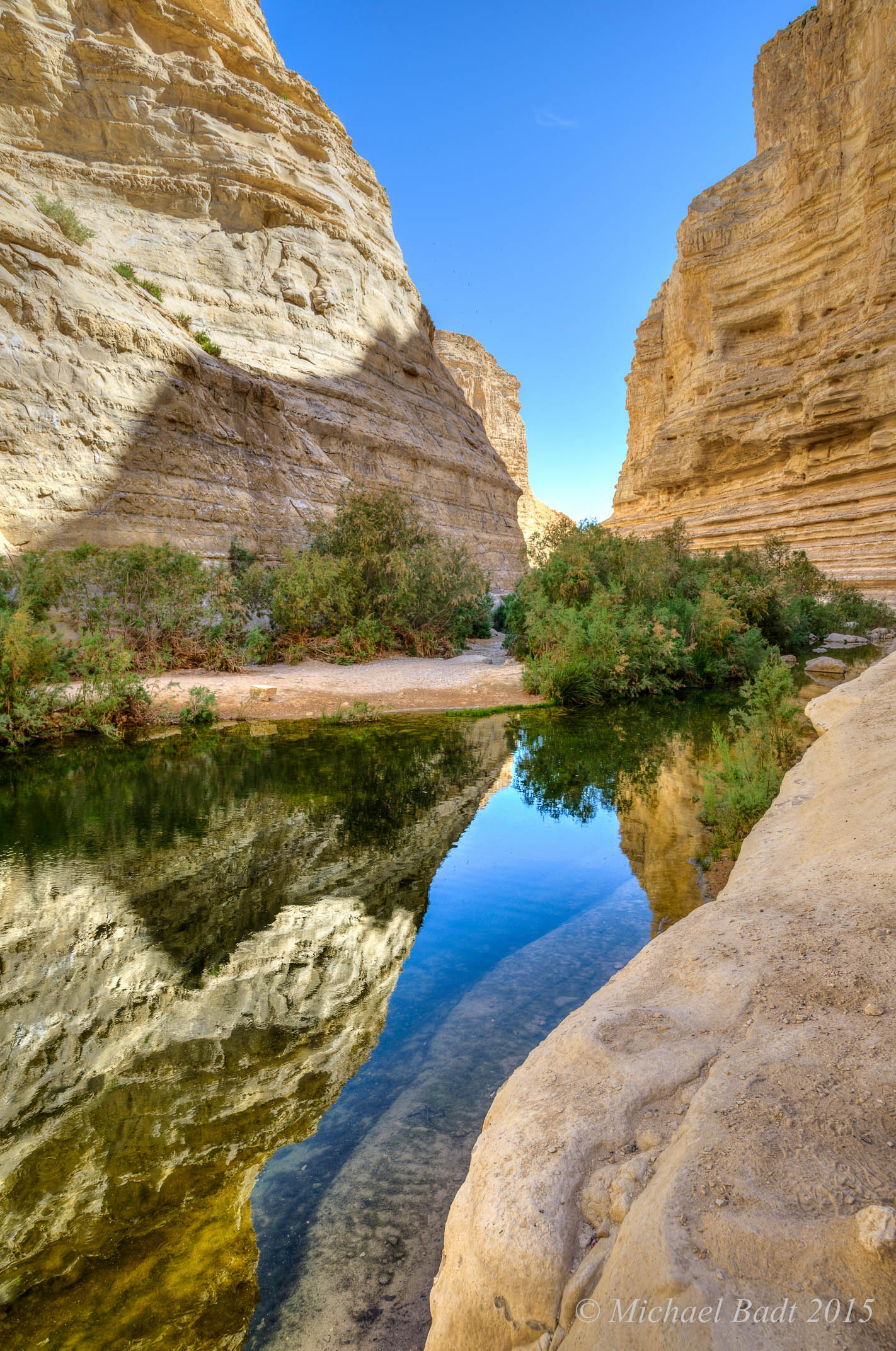
Ovdat-0147-20150508And2more-HDRI.jpg

*
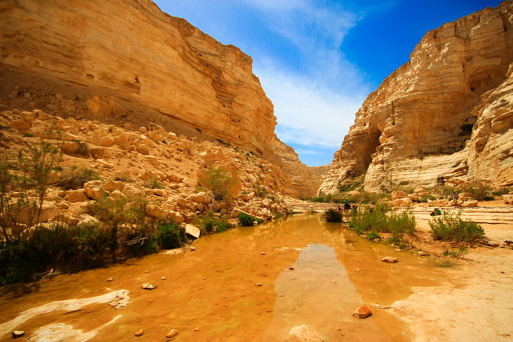
the way to- Ein Ovdat - Wadi Zin - Negev desert - Israel
2006-11-25 1726
IMG_4762-PANO
2006-10-22 18
*
Ovdat-0177-20150508And2more-HDRI.jpg
*
Topographic Map of Sde Boker, Israel
Find elevation by address:

Places near Sde Boker, Israel:
Ramat Hanegev
Negev
South District
Be'er Sheva
Mitzpe Ramon
Makhtesh Ramon
Castle Locality Khan Srnim
Negev Mountains
Paran
Shitim
Hevel Eilot Regional Council
Yahel
Unnamed Road
Ketura
Timna Park
Yehuda Street
Eilat
Aqaba Qasabah District
Aqaba Governorate
Aqaba
Recent Searches:
- Elevation of Corso Fratelli Cairoli, 35, Macerata MC, Italy
- Elevation of Tallevast Rd, Sarasota, FL, USA
- Elevation of 4th St E, Sonoma, CA, USA
- Elevation of Black Hollow Rd, Pennsdale, PA, USA
- Elevation of Oakland Ave, Williamsport, PA, USA
- Elevation of Pedrógão Grande, Portugal
- Elevation of Klee Dr, Martinsburg, WV, USA
- Elevation of Via Roma, Pieranica CR, Italy
- Elevation of Tavkvetili Mountain, Georgia
- Elevation of Hartfords Bluff Cir, Mt Pleasant, SC, USA