Elevation of Ketura, Israel
Location: Israel > South District > Be'er Sheva >
Longitude: 35.061355
Latitude: 29.970887
Elevation: 117m / 384feet
Barometric Pressure: 100KPa
Elevation Map:
Satellite Map:
Related Photos:

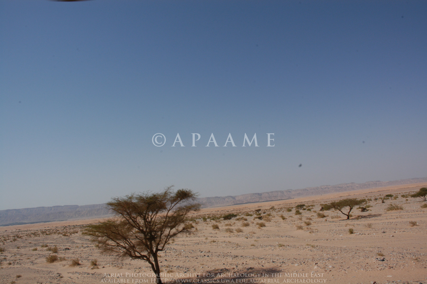
View of Edom Mts., Jordan, from Kibbutz Ketura
The awesomeness of this view... Just doesn't translate. Sorry.

Richard's Pipit
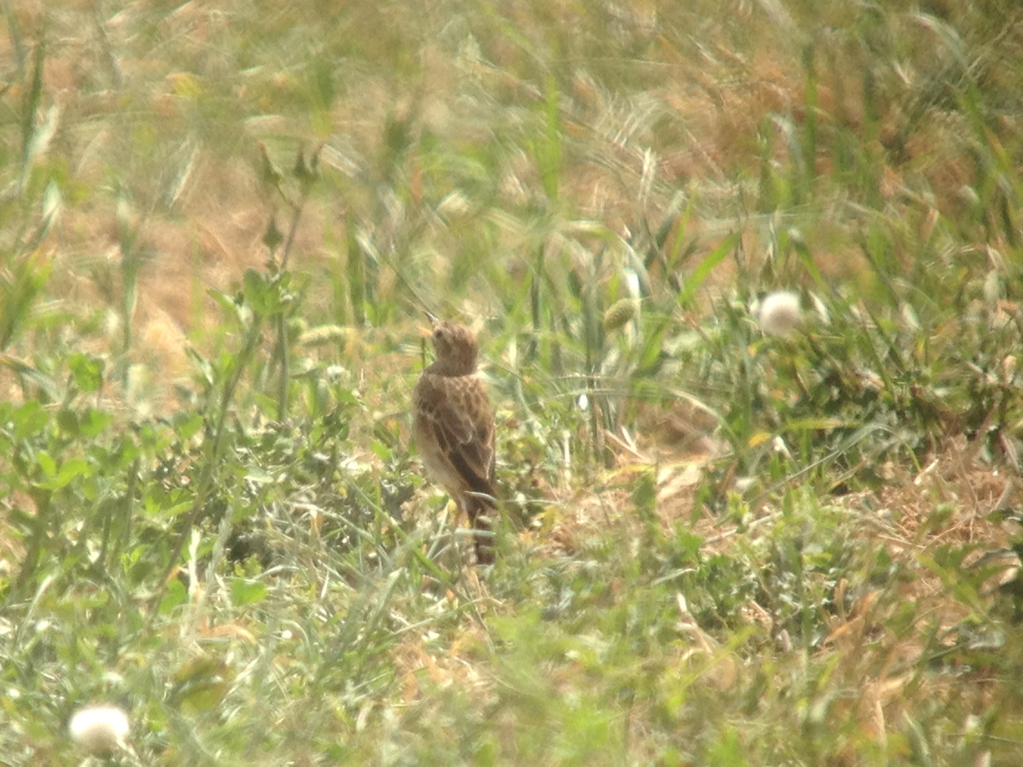
Richard's Pipit
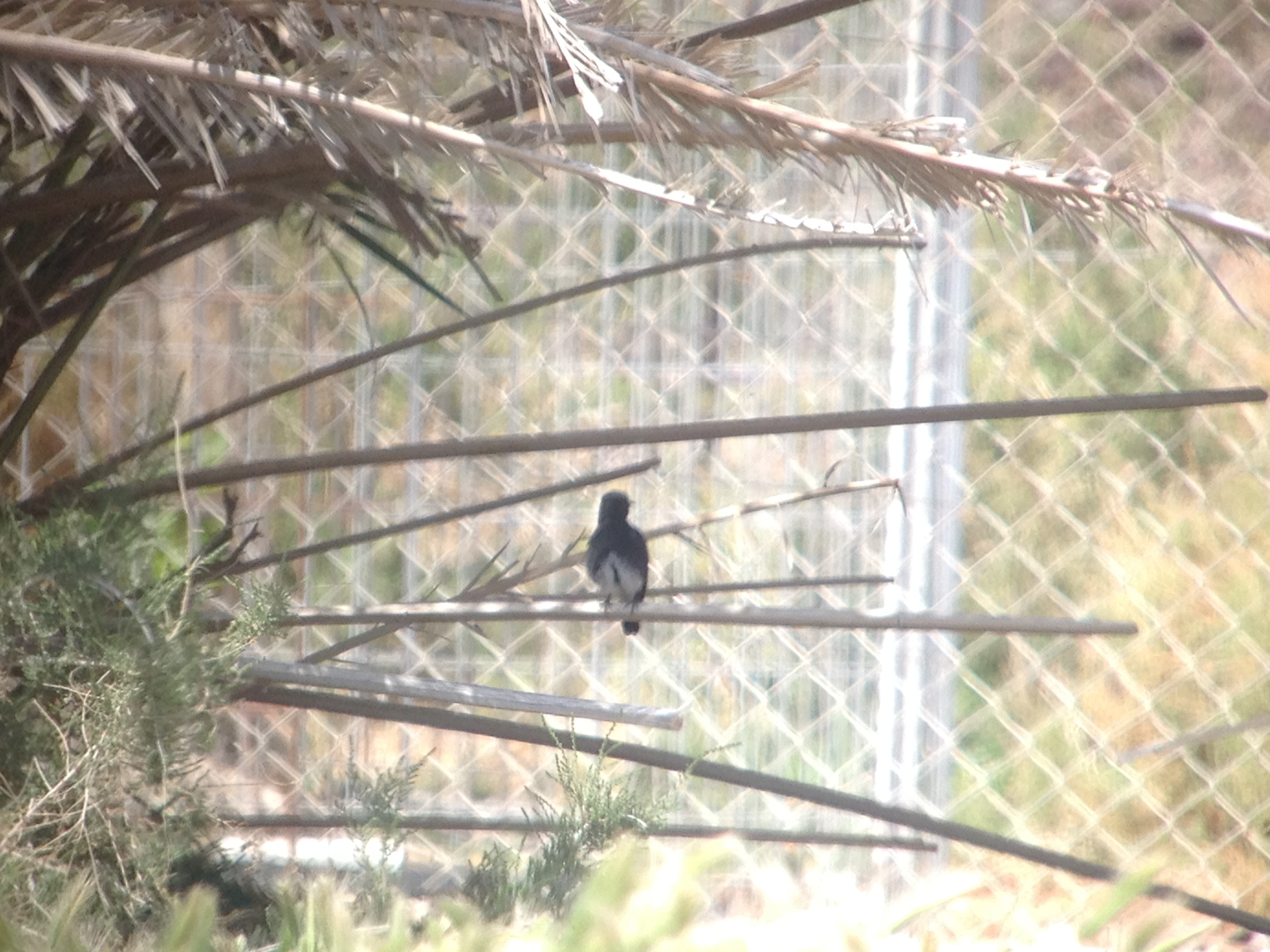
Pied Bushchat
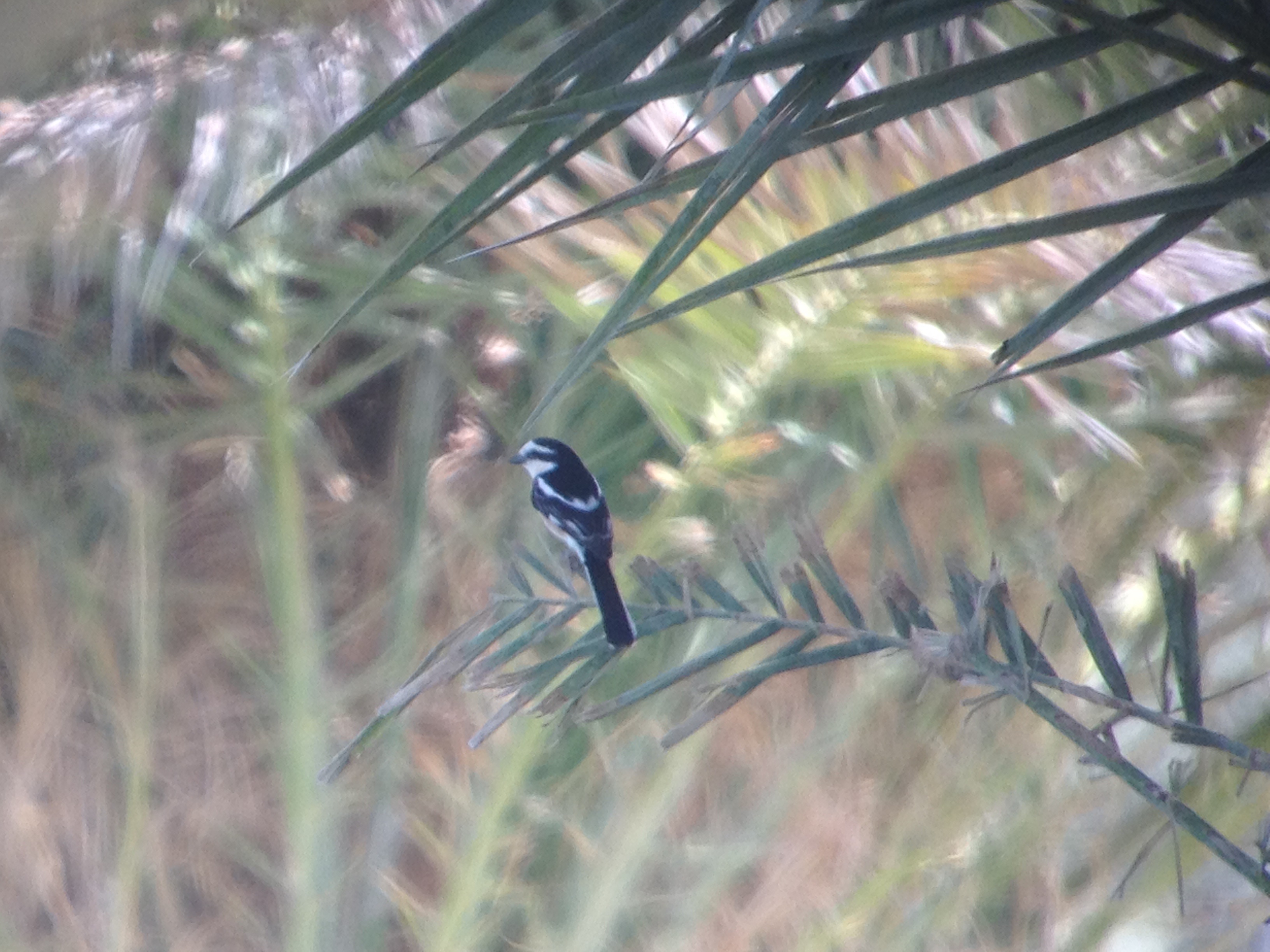
Masked Shrike
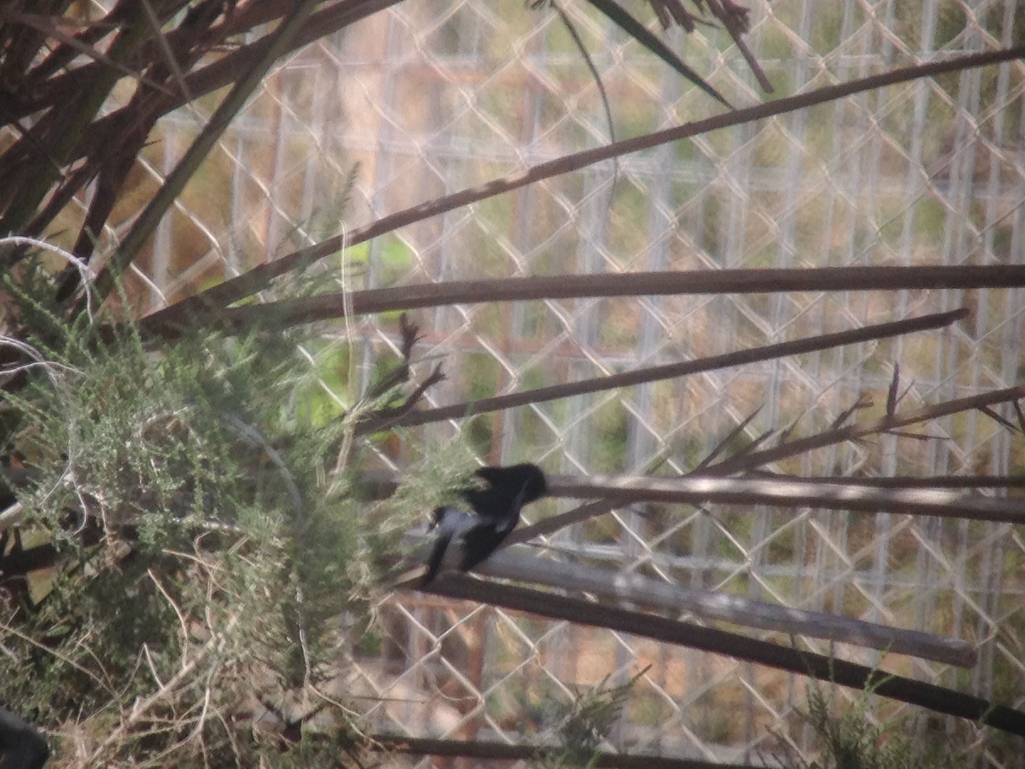
Pied Bushchat
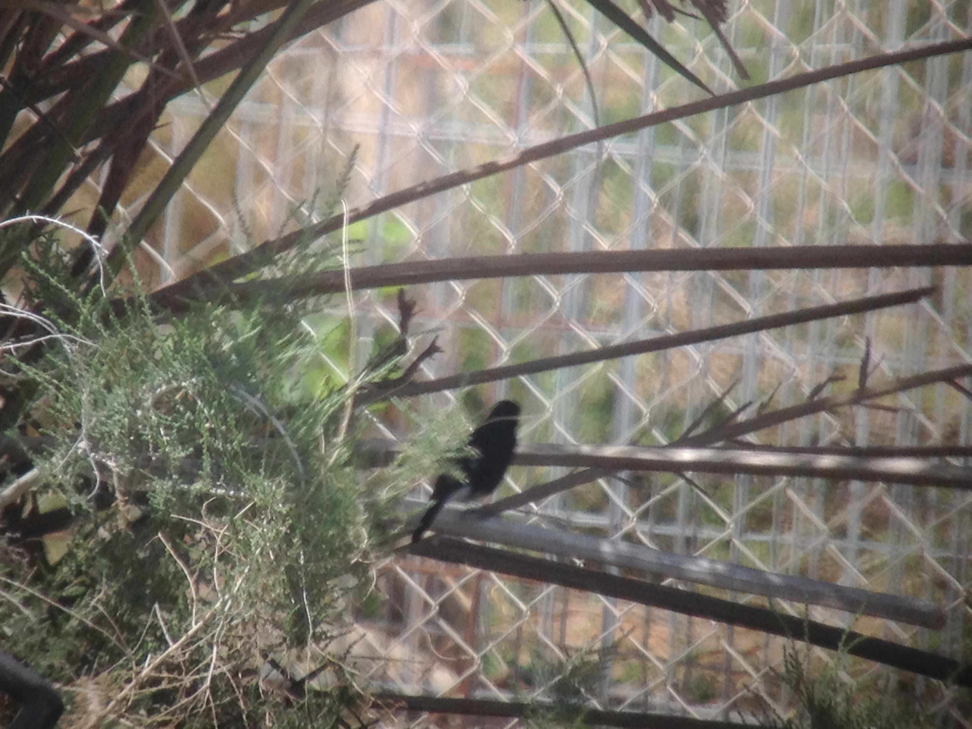
Pied Bushchat
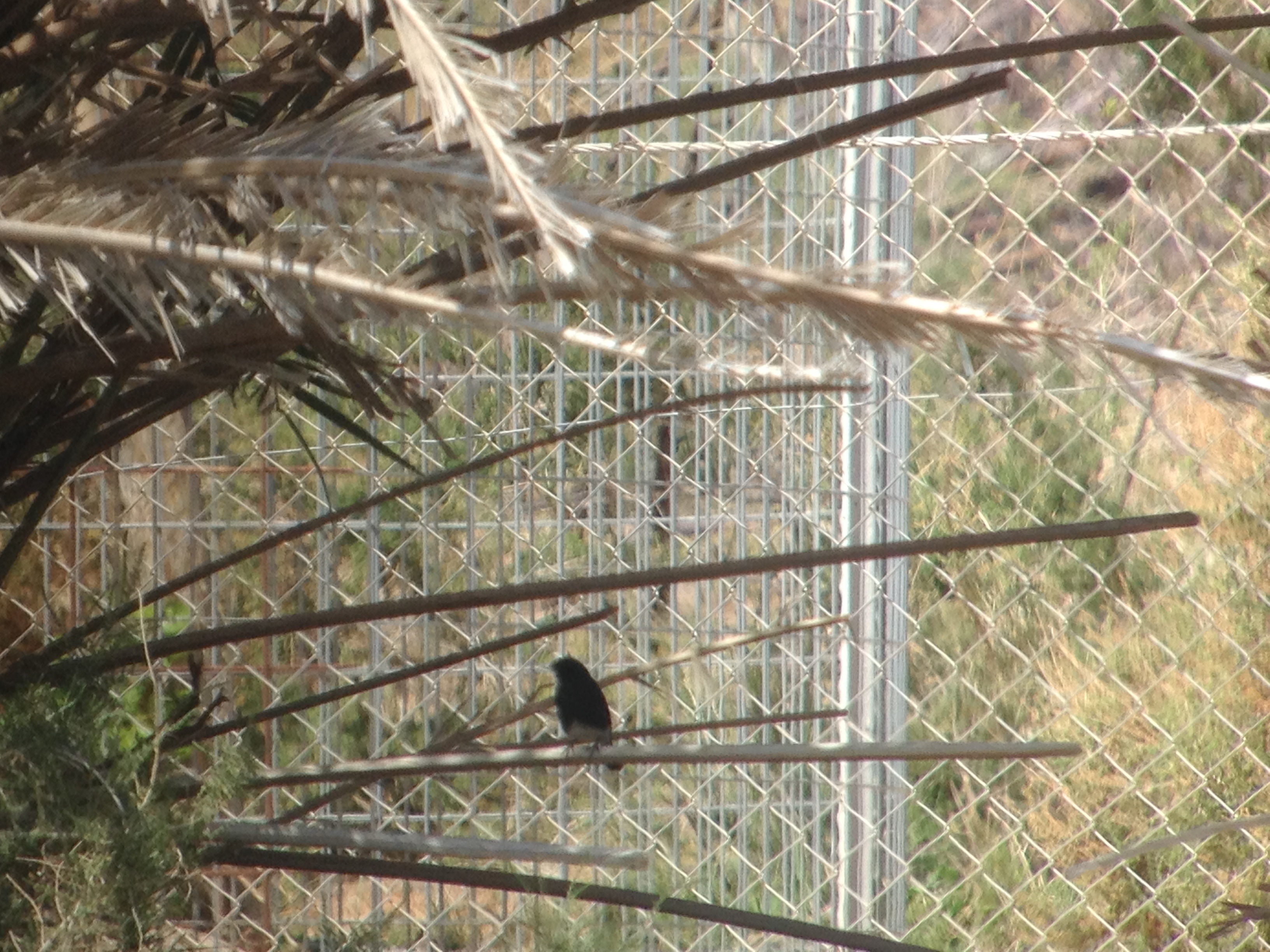
Pied Bushchat
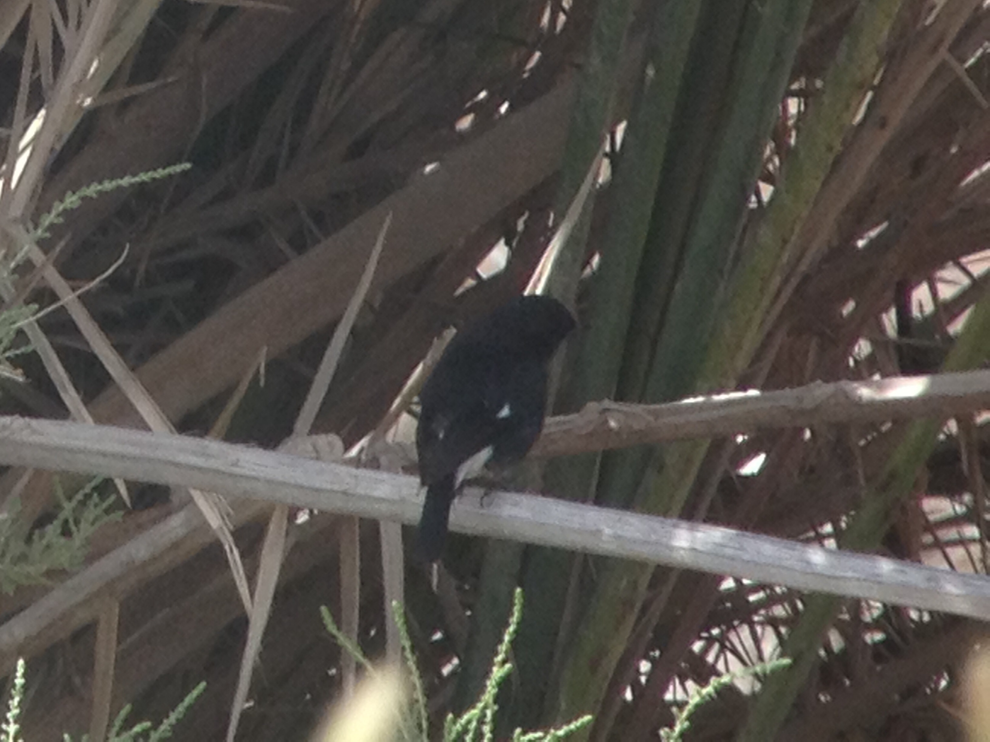
Pied Bushchat
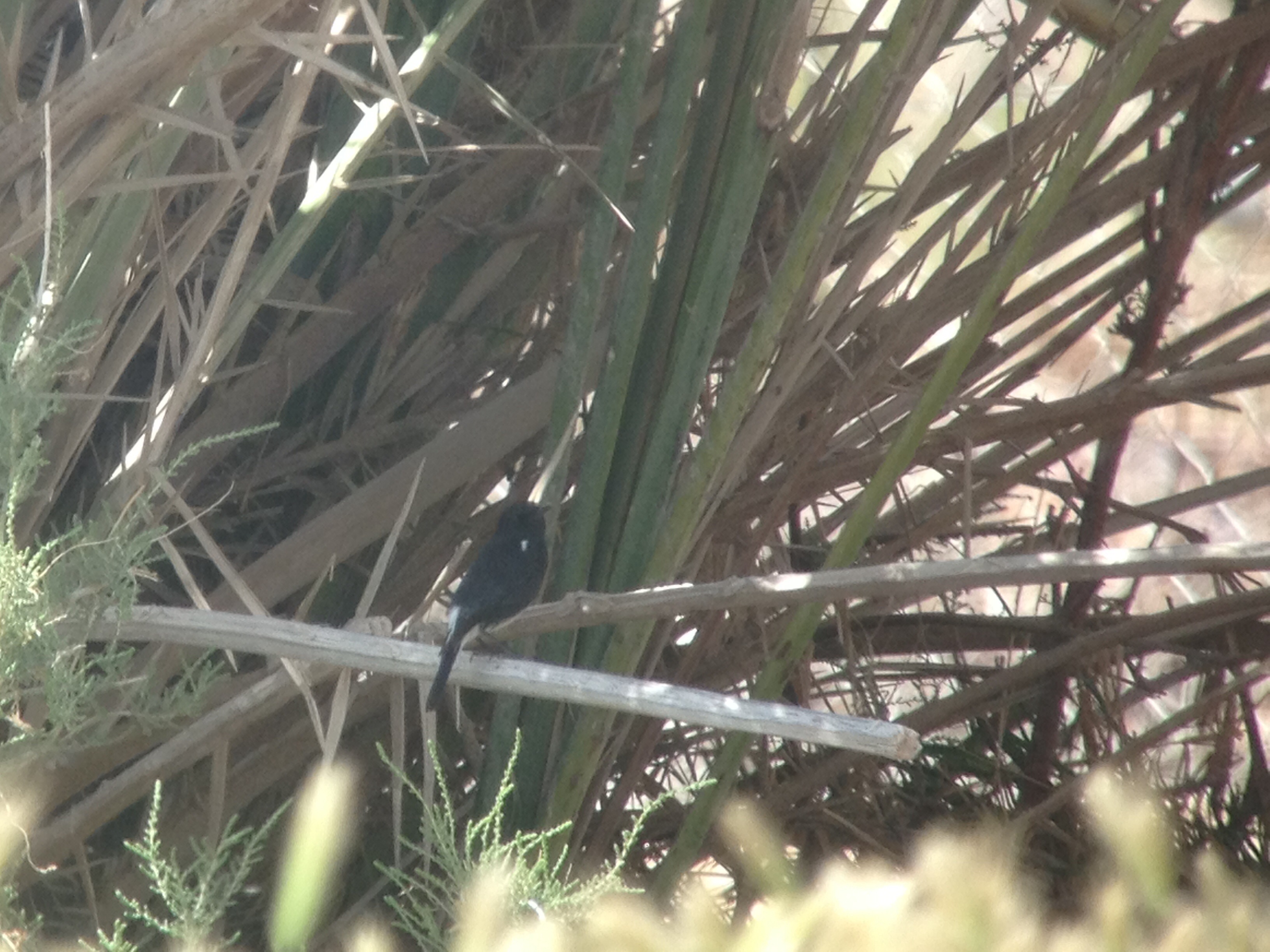
Pied Bushchat

Lift off

Sand wave
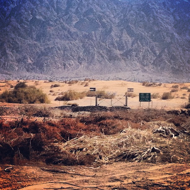
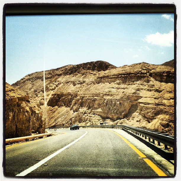
A special border crossing in the Arava.

auf dem weg nach eilat
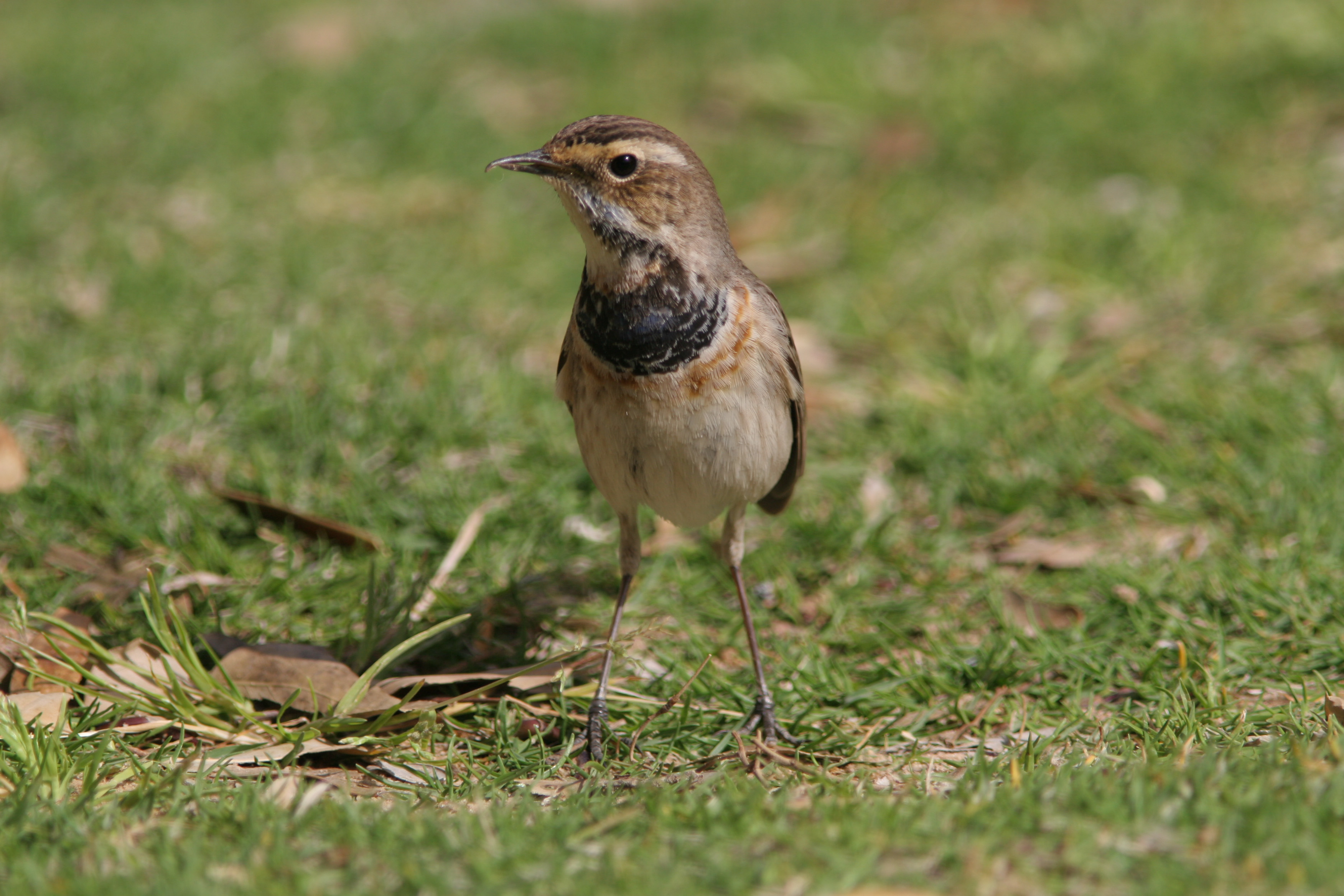
Bluethroat_Yarel_IL_2007_03_29_111.jpg
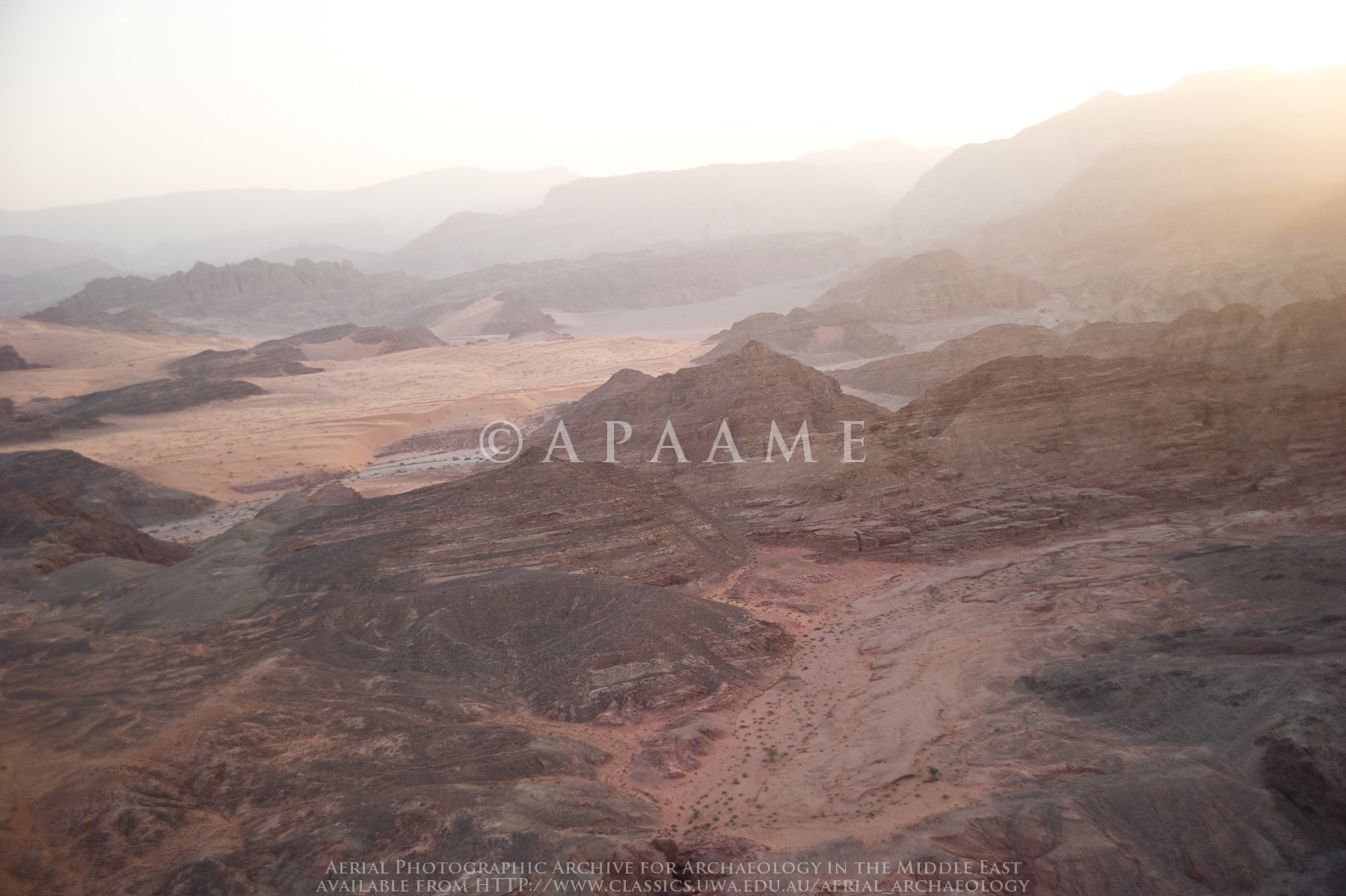
Wadi Tureiba
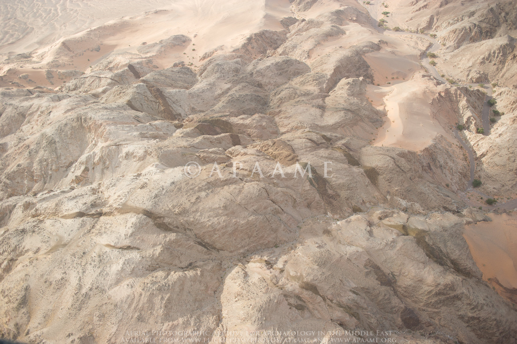
Wadi Abu Radmar

Wadi Abu Radmar
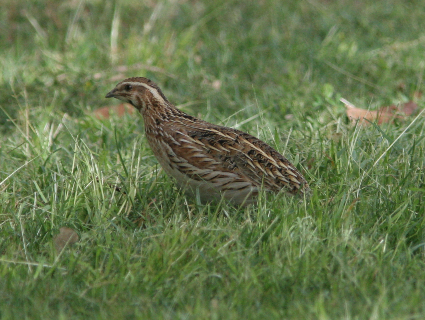
Common_Quail_Yarel_IL_2007_03_29_001.jpg
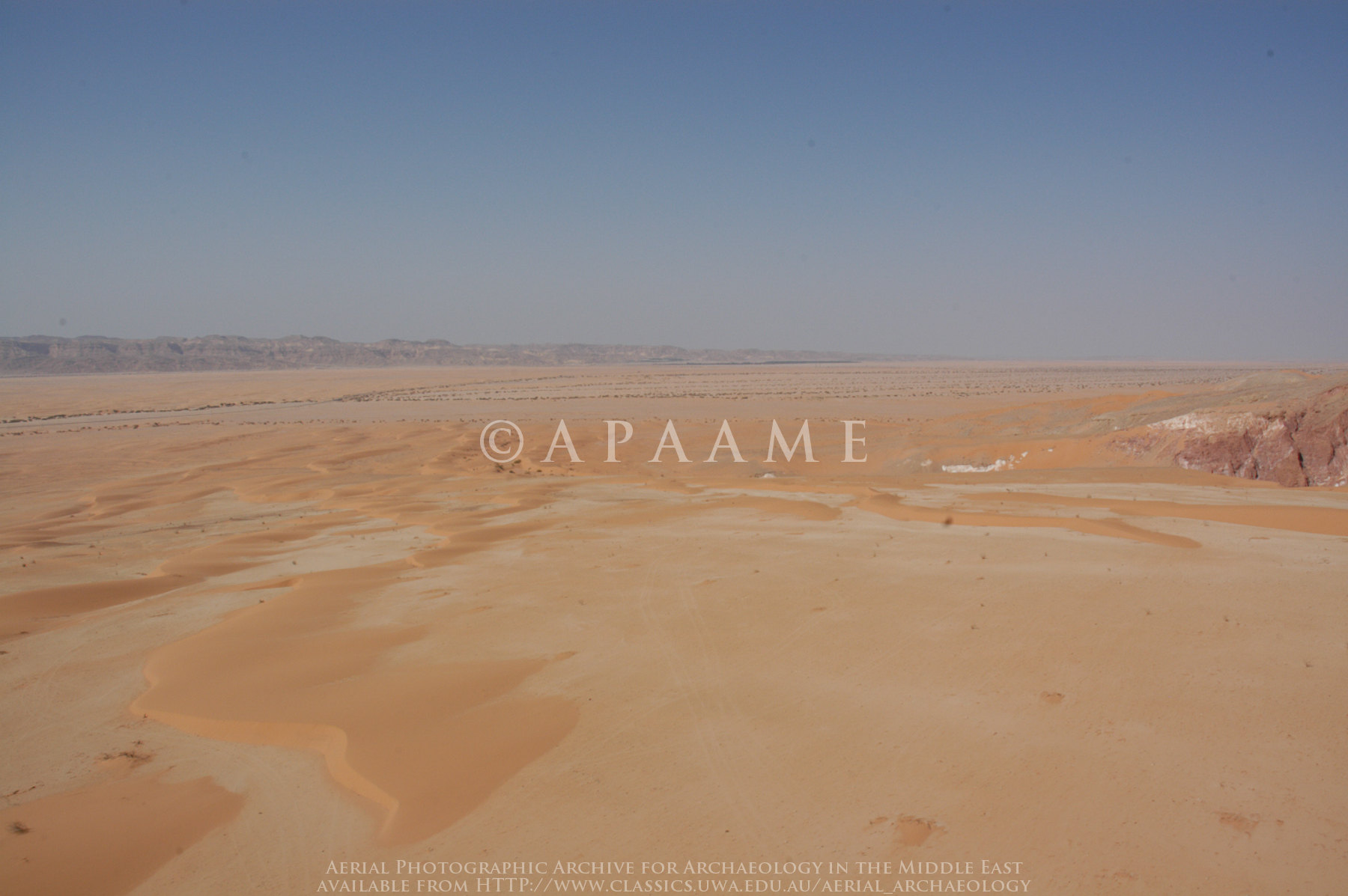
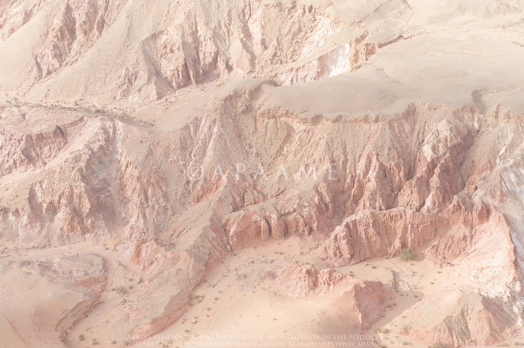
Sand Desert on E Side of Arabah S of Gharandal

Sand Desert on E Side of Arabah S of Gharandal
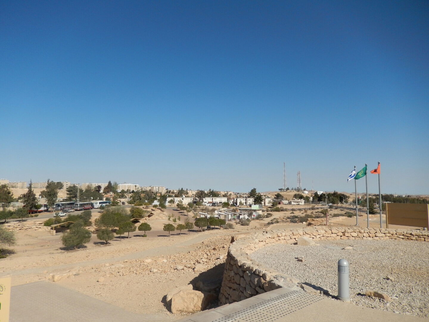
Mitzpe Ramon, Israel
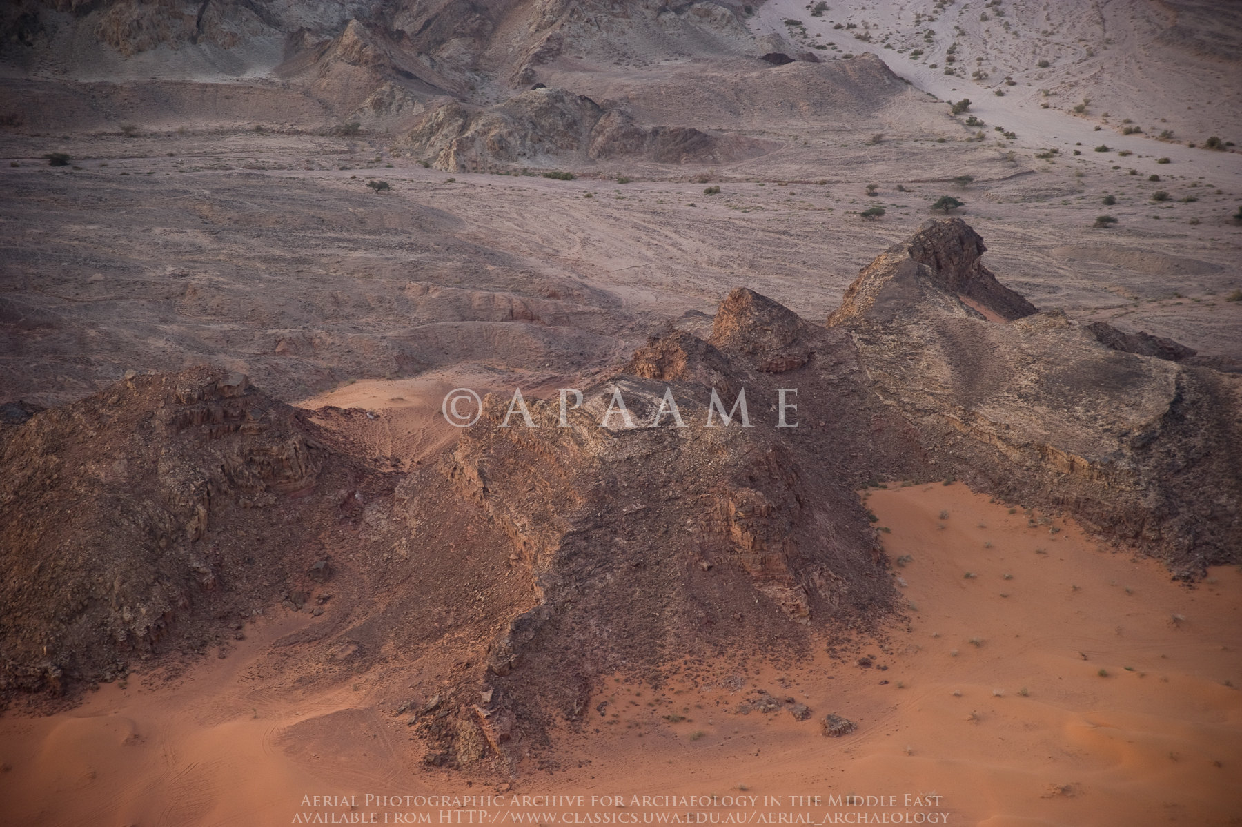
Sand Desert on E Side of Araba S of Gharandal

Mitzpe Ramon, Israel
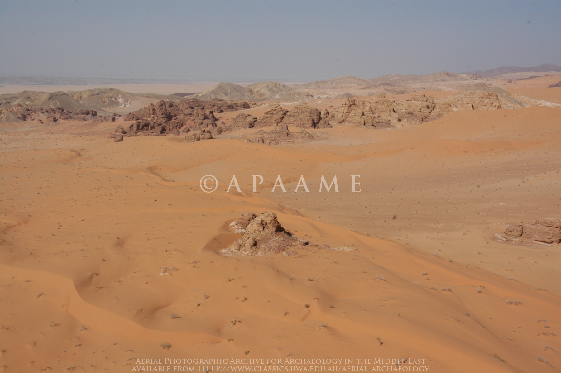
Sand Desert on E Side of Arabah S of Gharandal
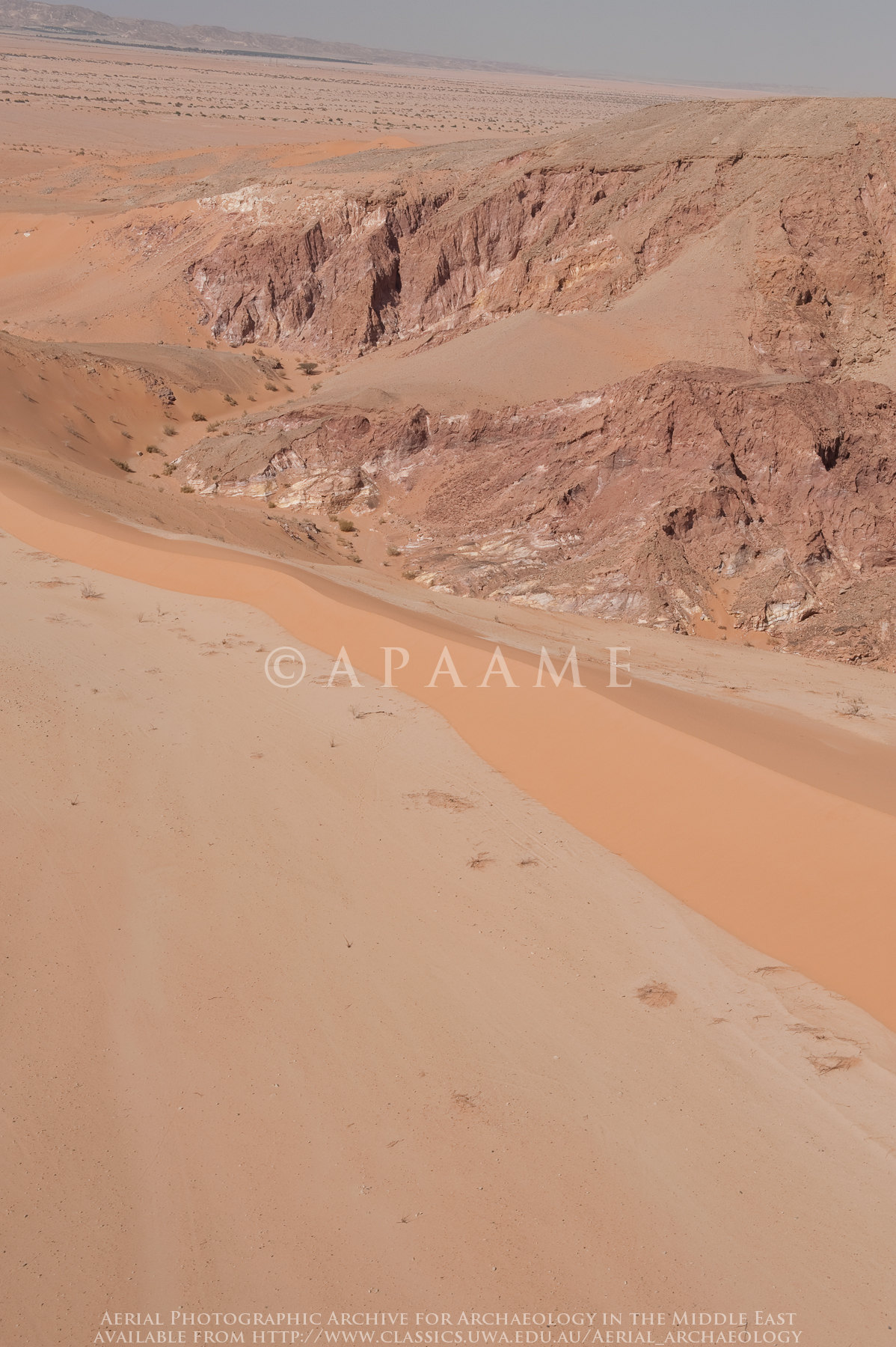
Sand Desert on E Side of Arabah S of Gharandal
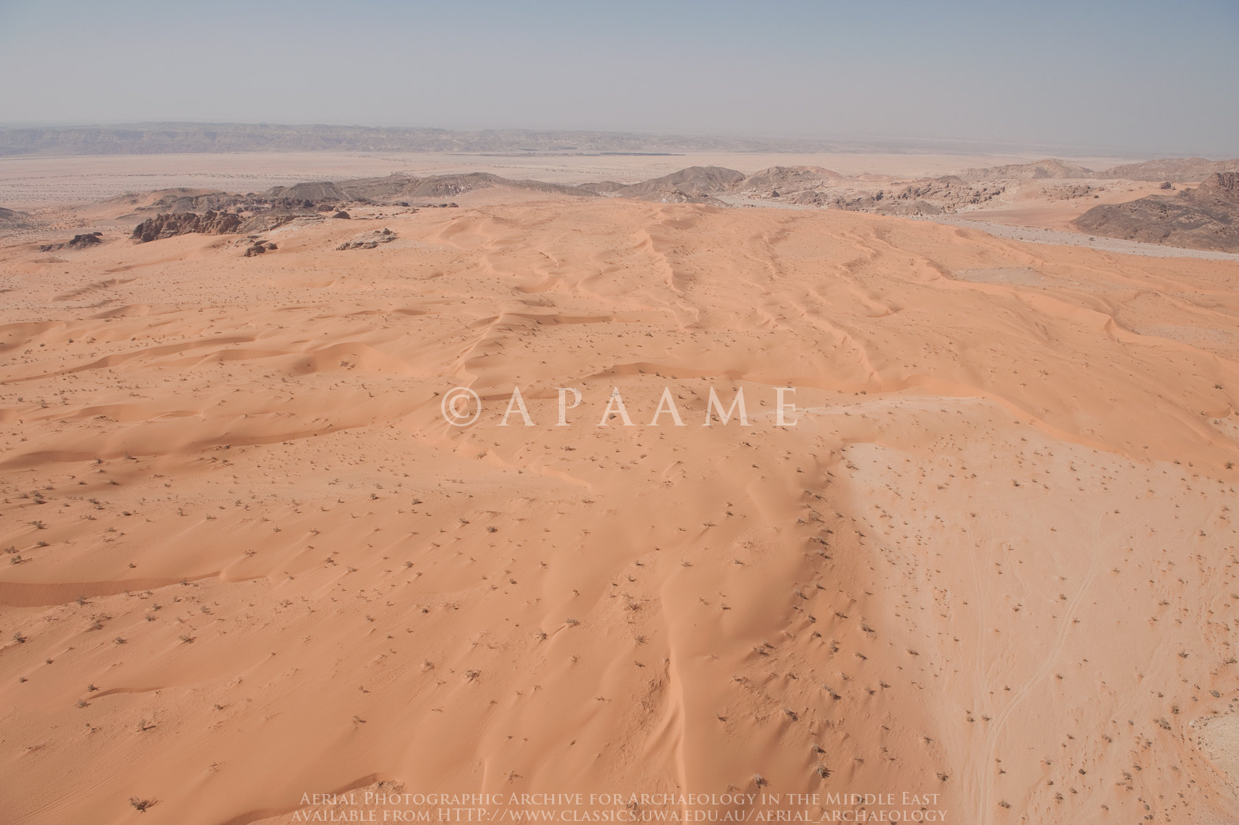
Sand Desert on E Side of Arabah S of Gharandal
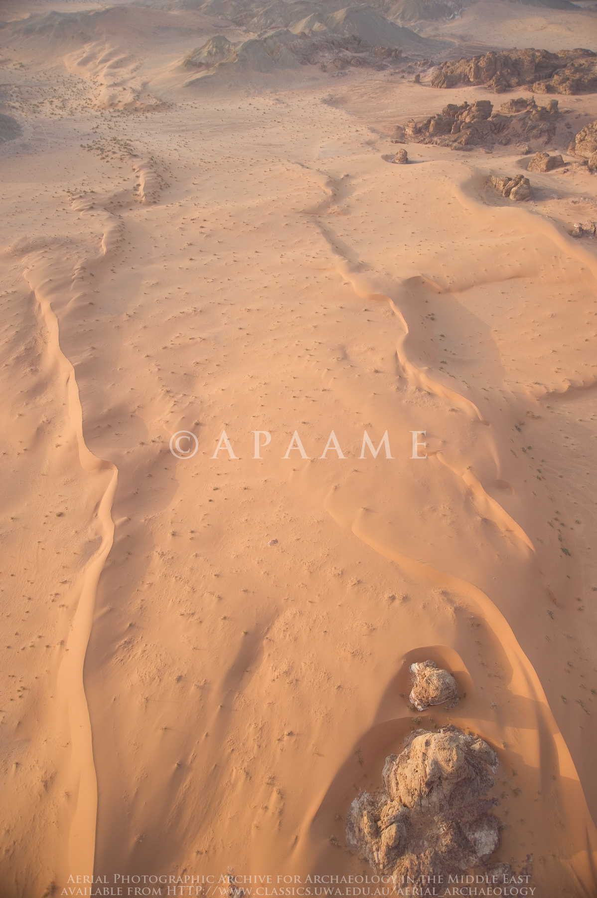
Sand Desert on E Side of Araba S of Gharandal
Sand Desert on E Side of Araba S of Gharandal
Darba Arabah 1
Topographic Map of Ketura, Israel
Find elevation by address:

Places near Ketura, Israel:
Unnamed Road
Yahel
Timna Park
Hevel Eilot Regional Council
Shitim
Paran
Yehuda Street
Eilat
Aqaba Qasabah District
Aqaba Governorate
Aqaba
Castle Locality Khan Srnim
Makhtesh Ramon
Negev Mountains
Mitzpe Ramon
Negev
South District
Be'er Sheva
Ramat Hanegev
Sde Boker
Recent Searches:
- Elevation of Corso Fratelli Cairoli, 35, Macerata MC, Italy
- Elevation of Tallevast Rd, Sarasota, FL, USA
- Elevation of 4th St E, Sonoma, CA, USA
- Elevation of Black Hollow Rd, Pennsdale, PA, USA
- Elevation of Oakland Ave, Williamsport, PA, USA
- Elevation of Pedrógão Grande, Portugal
- Elevation of Klee Dr, Martinsburg, WV, USA
- Elevation of Via Roma, Pieranica CR, Italy
- Elevation of Tavkvetili Mountain, Georgia
- Elevation of Hartfords Bluff Cir, Mt Pleasant, SC, USA