Elevation of Scoullers Rd, Carpendeit VIC, Australia
Location: Australia > Victoria > Colac Otway Shire > Carpendeit >
Longitude: 143.28481
Latitude: -38.360497
Elevation: 168m / 551feet
Barometric Pressure: 0KPa
Related Photos:
Derailed wagons between Pomborneit and Pirron Yallock

Weerite to Pomborneit
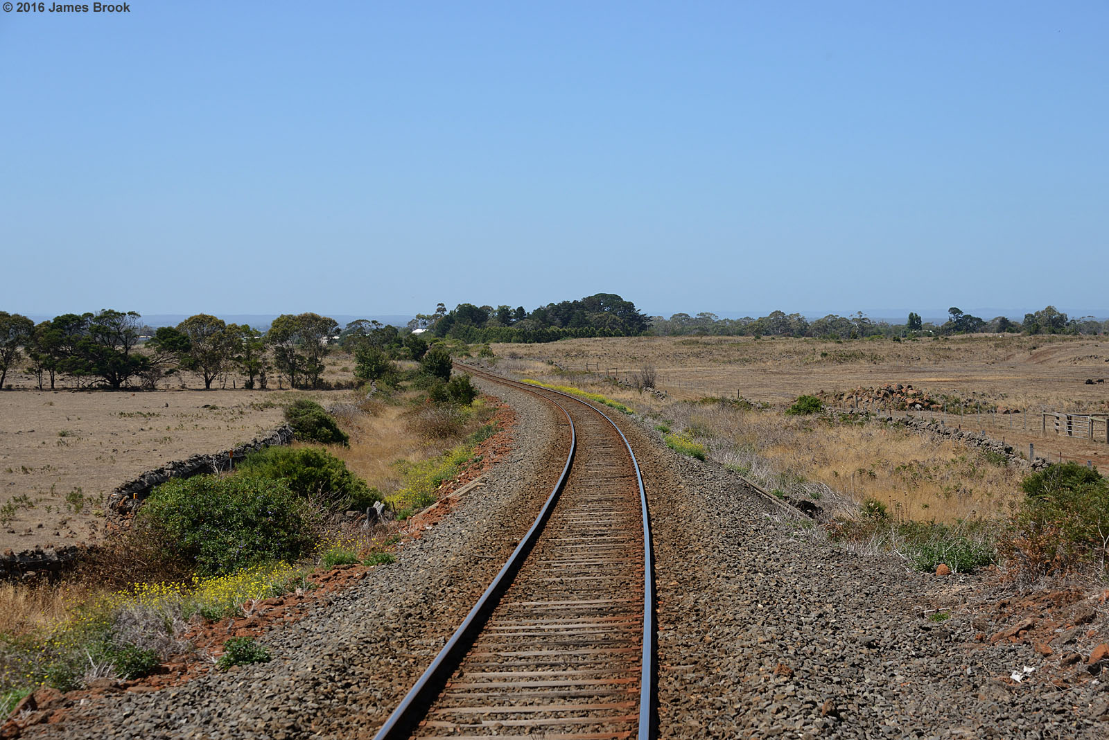
Pirron Yallock

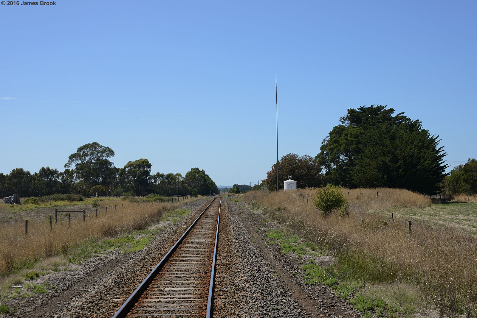
PIRRON YALLOCK RAILWAY STATION
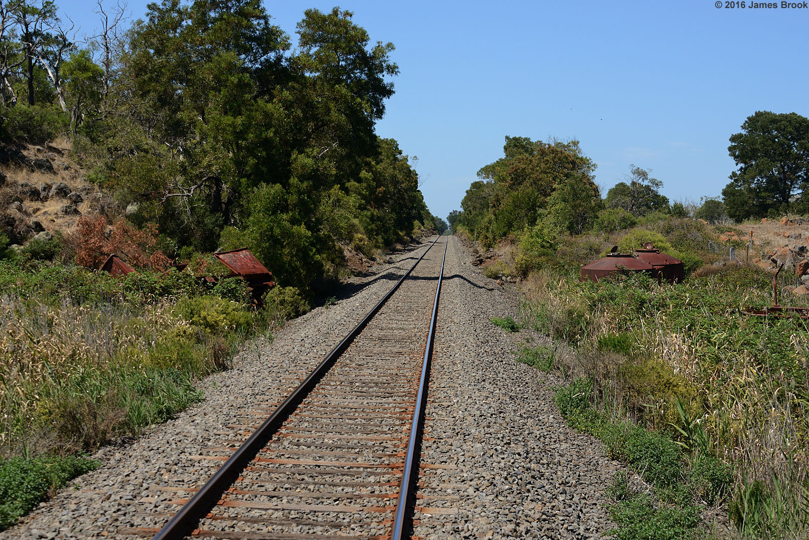
Pomborneit to Pirron Yallock

Pirron Yallock

Pirron Yallock

Pirron Yallock to Pomborneit

Pirron Yallock

12小時的大洋路之旅,有漫山遍野的綿羊和牛牛、有金黃色的小雛菊花海、有windows桌面一樣的藍天白雲大草原、有勁風大浪的峽谷和十二門徒石。去過那裡,此生無憾焉。(拍片更美,希望今晚剪完出vlog) —————————————————— #ArDisAUS #ArDisMelbourne

Enero 29

Pirron Yallock loco watering tank

Retired Chute enjoying the good life

I'm everywhere

NZ-AU-6901

Drystone wall

Lake Purrumbeet

Great Ocean Road

Lake Purrumbeet
Topographic Map of Scoullers Rd, Carpendeit VIC, Australia
Find elevation by address:

Places near Scoullers Rd, Carpendeit VIC, Australia:
Carpendeit
Weerite
Bullaharre Road
Bullarook Road
50 Leura St
Camperdown
Cobden
Corangamite Shire
Lavers Hill
25 Melba Gully Rd
Terang
Mortlake
70 Scott St
Warrnambool
Moyne Shire
Minhamite
46 Regent St
Port Fairy
Recent Searches:
- Elevation of 10370, West 107th Circle, Westminster, Jefferson County, Colorado, 80021, USA
- Elevation of 611, Roman Road, Old Ford, Bow, London, England, E3 2RW, United Kingdom
- Elevation of 116, Beartown Road, Underhill, Chittenden County, Vermont, 05489, USA
- Elevation of Window Rock, Colfax County, New Mexico, 87714, USA
- Elevation of 4807, Rosecroft Street, Kempsville Gardens, Virginia Beach, Virginia, 23464, USA
- Elevation map of Matawinie, Quebec, Canada
- Elevation of Sainte-Émélie-de-l'Énergie, Matawinie, Quebec, Canada
- Elevation of Rue du Pont, Sainte-Émélie-de-l'Énergie, Matawinie, Quebec, J0K2K0, Canada
- Elevation of 8, Rue de Bécancour, Blainville, Thérèse-De Blainville, Quebec, J7B1N2, Canada
- Elevation of Wilmot Court North, 163, University Avenue West, Northdale, Waterloo, Region of Waterloo, Ontario, N2L6B6, Canada
- Elevation map of Panamá Province, Panama
- Elevation of Balboa, Panamá Province, Panama
- Elevation of San Miguel, Balboa, Panamá Province, Panama
- Elevation of Isla Gibraleón, San Miguel, Balboa, Panamá Province, Panama
- Elevation of 4655, Krischke Road, Schulenburg, Fayette County, Texas, 78956, USA
- Elevation of Carnegie Avenue, Downtown Cleveland, Cleveland, Cuyahoga County, Ohio, 44115, USA
- Elevation of Walhonding, Coshocton County, Ohio, USA
- Elevation of Clifton Down, Clifton, Bristol, City of Bristol, England, BS8 3HU, United Kingdom
- Elevation map of Auvergne-Rhône-Alpes, France
- Elevation map of Upper Savoy, Auvergne-Rhône-Alpes, France