Elevation map of Colac Otway Shire, Colac Otway, VIC, Australia
Location: Australia > Victoria >
Longitude: 143.650190
Latitude: -38.483006
Elevation: 153m / 502feet
Barometric Pressure: 99KPa
Elevation Map:
Satellite Map:
Related Photos:

Stevenson Falls

Fern Patterns

Stevensons Falls

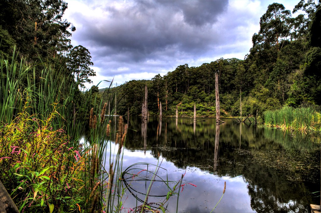
Lake Elizabeth

Stevensons Falls

Road to Lake Elizabeth

Jurassic World

Stevensons Falls - Cape Otways

Lake Elizabeth

Gellibrand River
Serenity @Lake Elizabeth

Geelongs water way upstream

Lake Elizabeth

Stevenson Falls

8305B-13

Rocky Stairway

West Barwon Reservoir, Forrest VIC

West Barwon Reservoir

Clearing on Noonday Track

West Barwon Reservoir

Lake Elizabeth

Forrest - Lake Elizabeth
Topographic Map of Colac Otway Shire, Colac Otway, VIC, Australia
Find elevation by address:

Places in Colac Otway Shire, Colac Otway, VIC, Australia:
Places near Colac Otway Shire, Colac Otway, VIC, Australia:
Beech Forest
23 The Boulevarde
The Boulevarde
The Boulevarde
7 The Boulevarde
12 Durimbil Ave
Wye River
Surf Coast Shire
Winchelsea
90 Mcmillan St
30 Butterworth Cres
Butterworth Crescent
30 Mcmillan St
Anglesea
2 Mcmillan St
Jan Juc
30 St Andrews Dr
Torquay
339 Church St
Belmont
Recent Searches:
- Elevation of Corso Fratelli Cairoli, 35, Macerata MC, Italy
- Elevation of Tallevast Rd, Sarasota, FL, USA
- Elevation of 4th St E, Sonoma, CA, USA
- Elevation of Black Hollow Rd, Pennsdale, PA, USA
- Elevation of Oakland Ave, Williamsport, PA, USA
- Elevation of Pedrógão Grande, Portugal
- Elevation of Klee Dr, Martinsburg, WV, USA
- Elevation of Via Roma, Pieranica CR, Italy
- Elevation of Tavkvetili Mountain, Georgia
- Elevation of Hartfords Bluff Cir, Mt Pleasant, SC, USA