Elevation of Schmolde, Meyenburg, Germany
Location: Germany > Brandenburg > Meyenburg >
Longitude: 12.2711778
Latitude: 53.2835982
Elevation: 112m / 367feet
Barometric Pressure: 100KPa
Elevation Map:
Satellite Map:
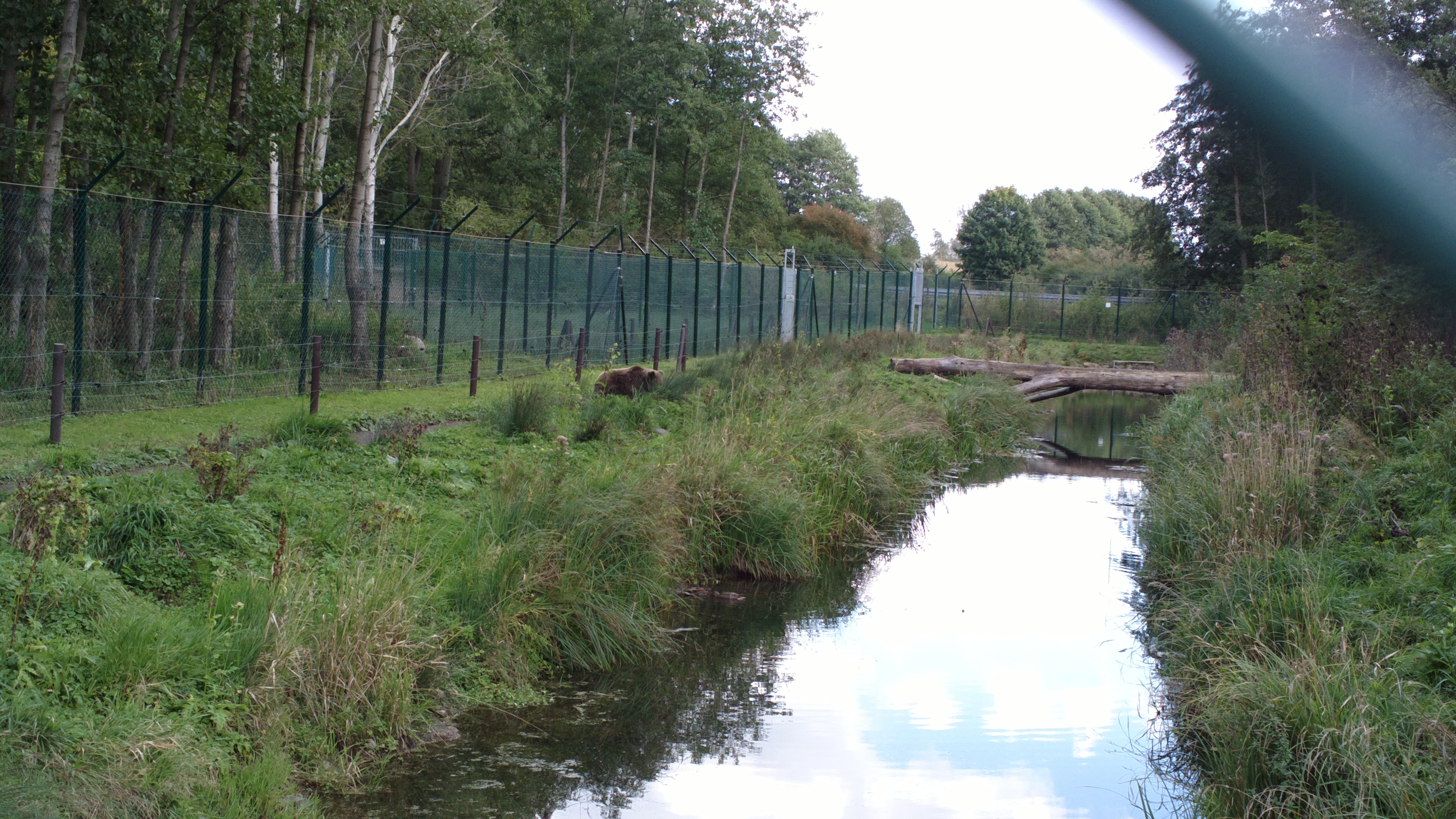
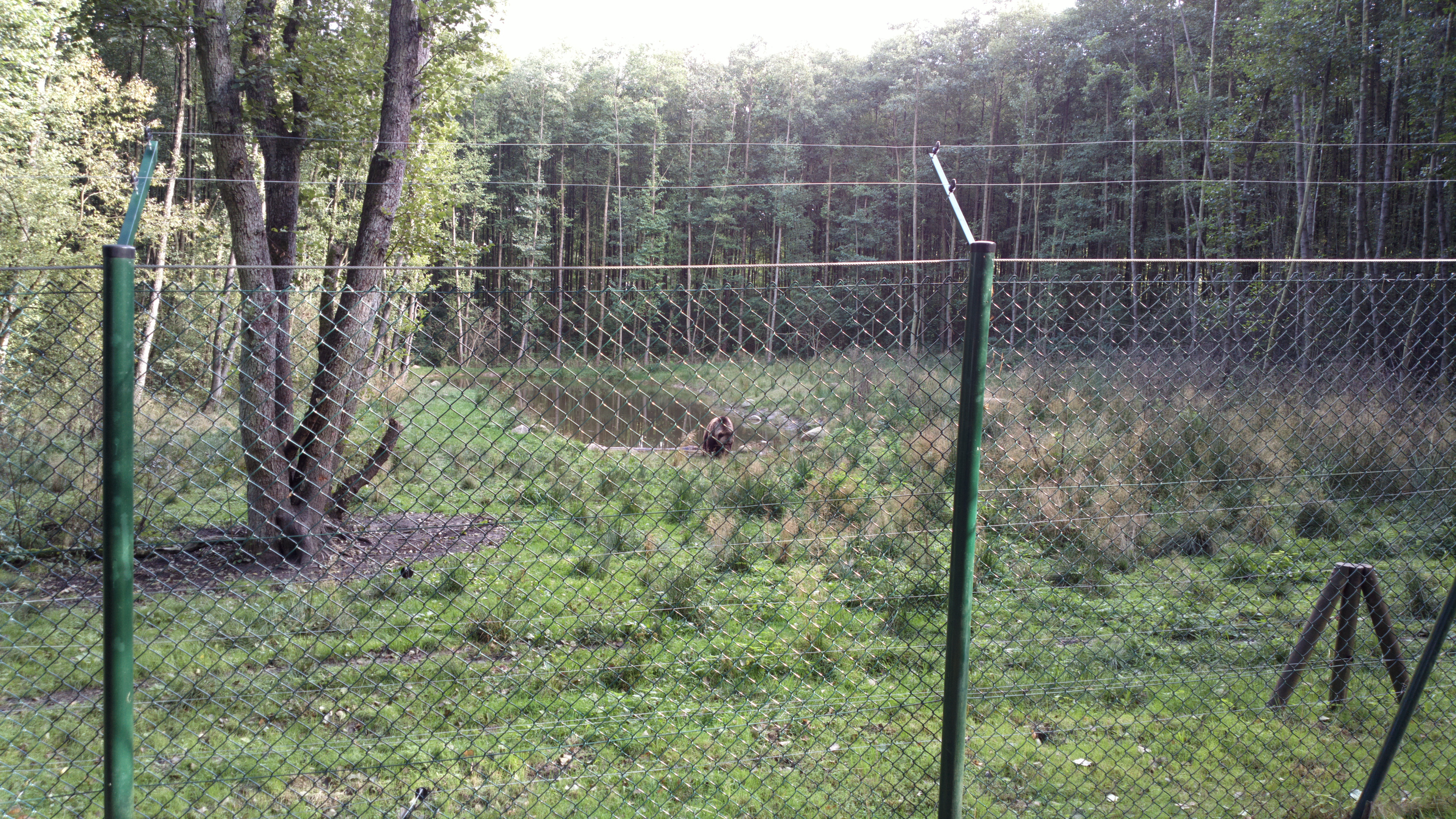
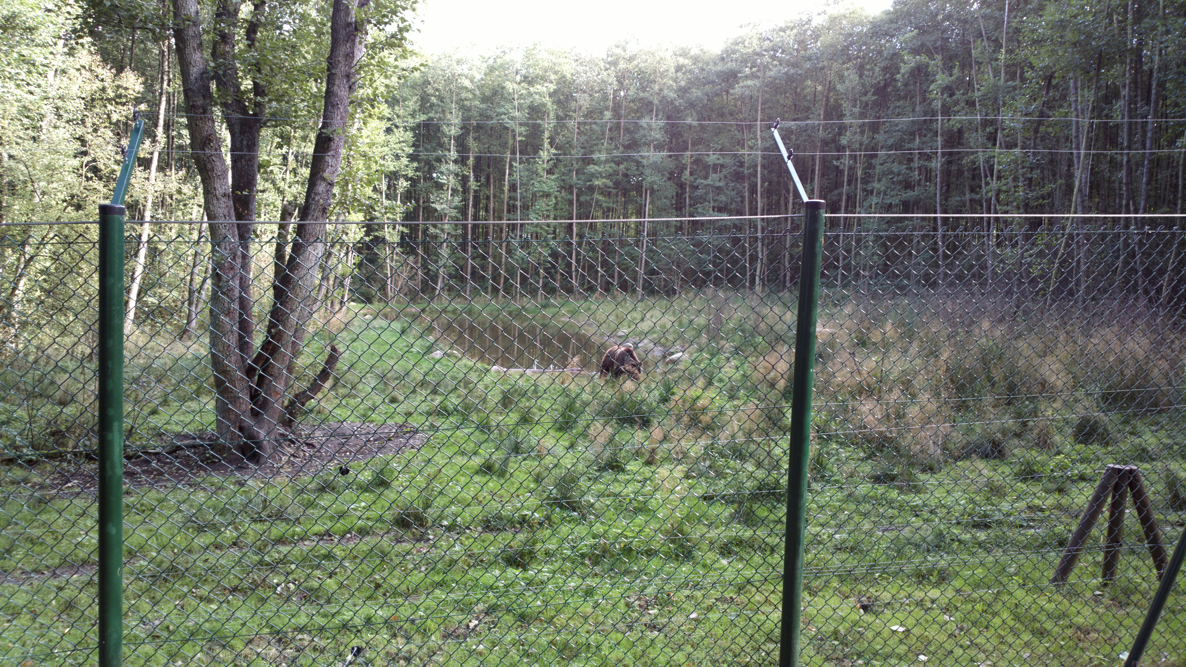
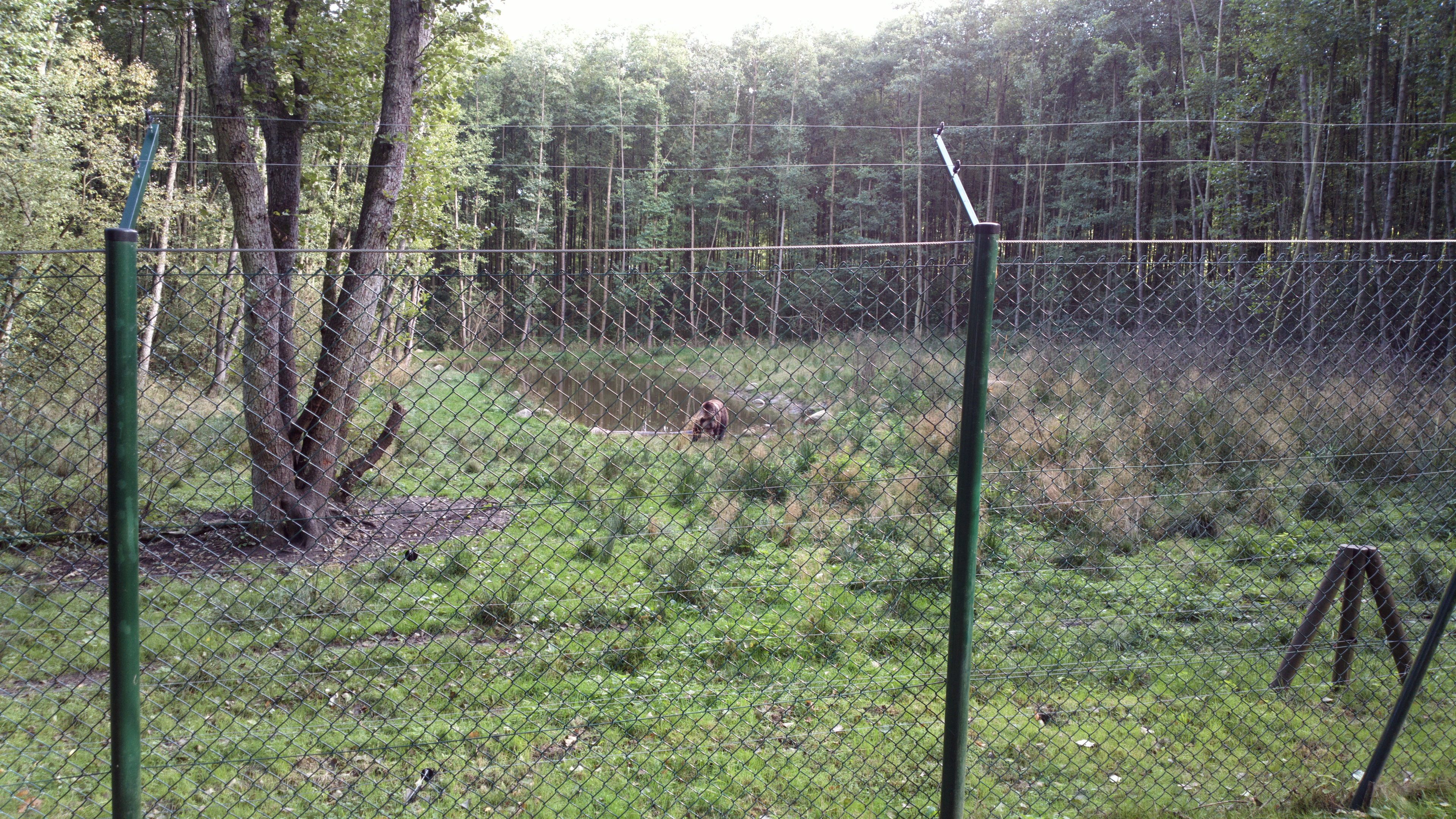
Related Photos:

Mirror view
2012-09-30-0606
2012-09-30-0599
2012-09-30-0600
2012-09-30-0598
Plauer See 1
2012-09-30-0607
2012-09-30-0612

20090716-_MG_0311

20090716-_MG_0306

20090716-_MG_0319

20081228_a WALK through pritzWALK_02

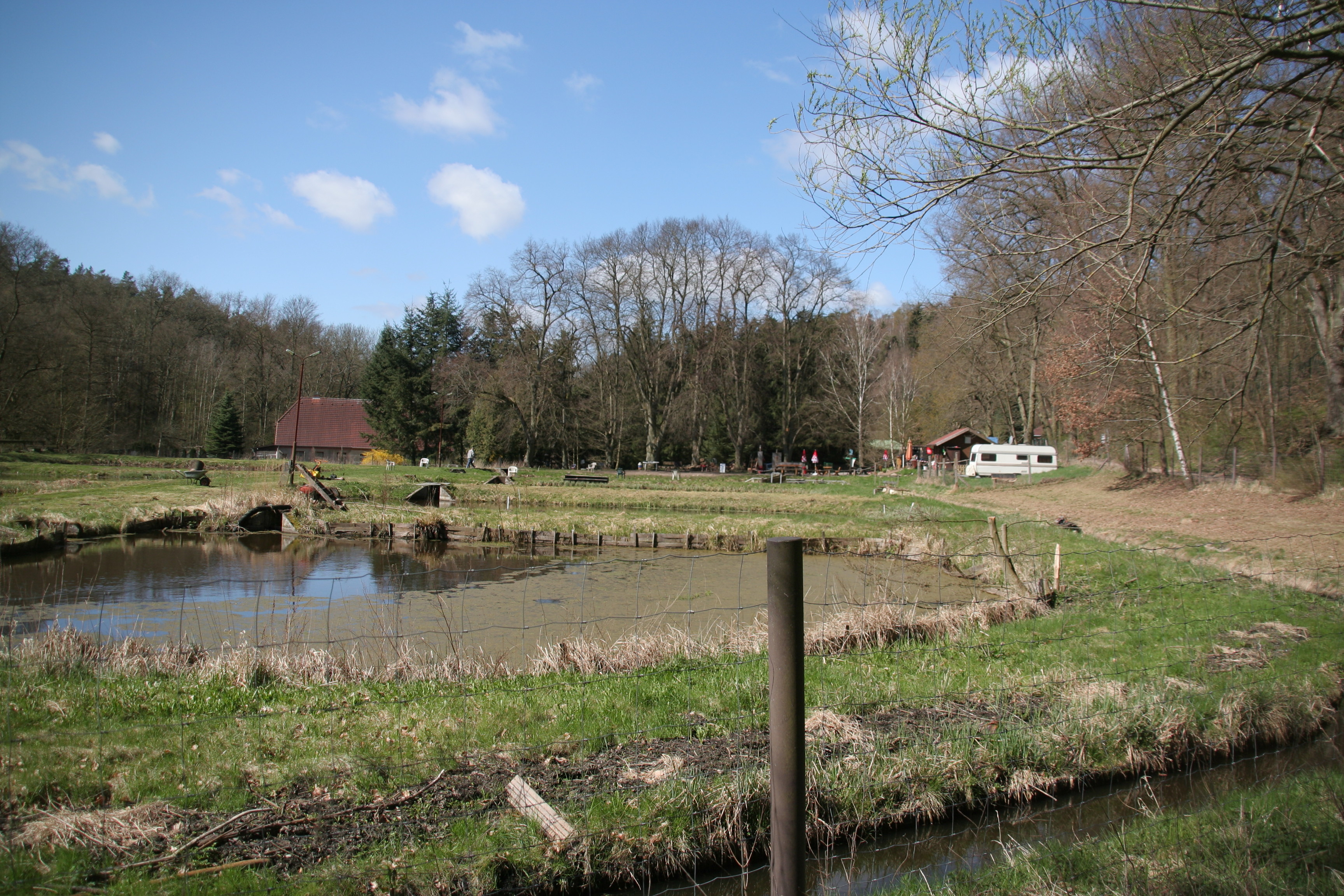
Plau am See
2012-09-30-0615
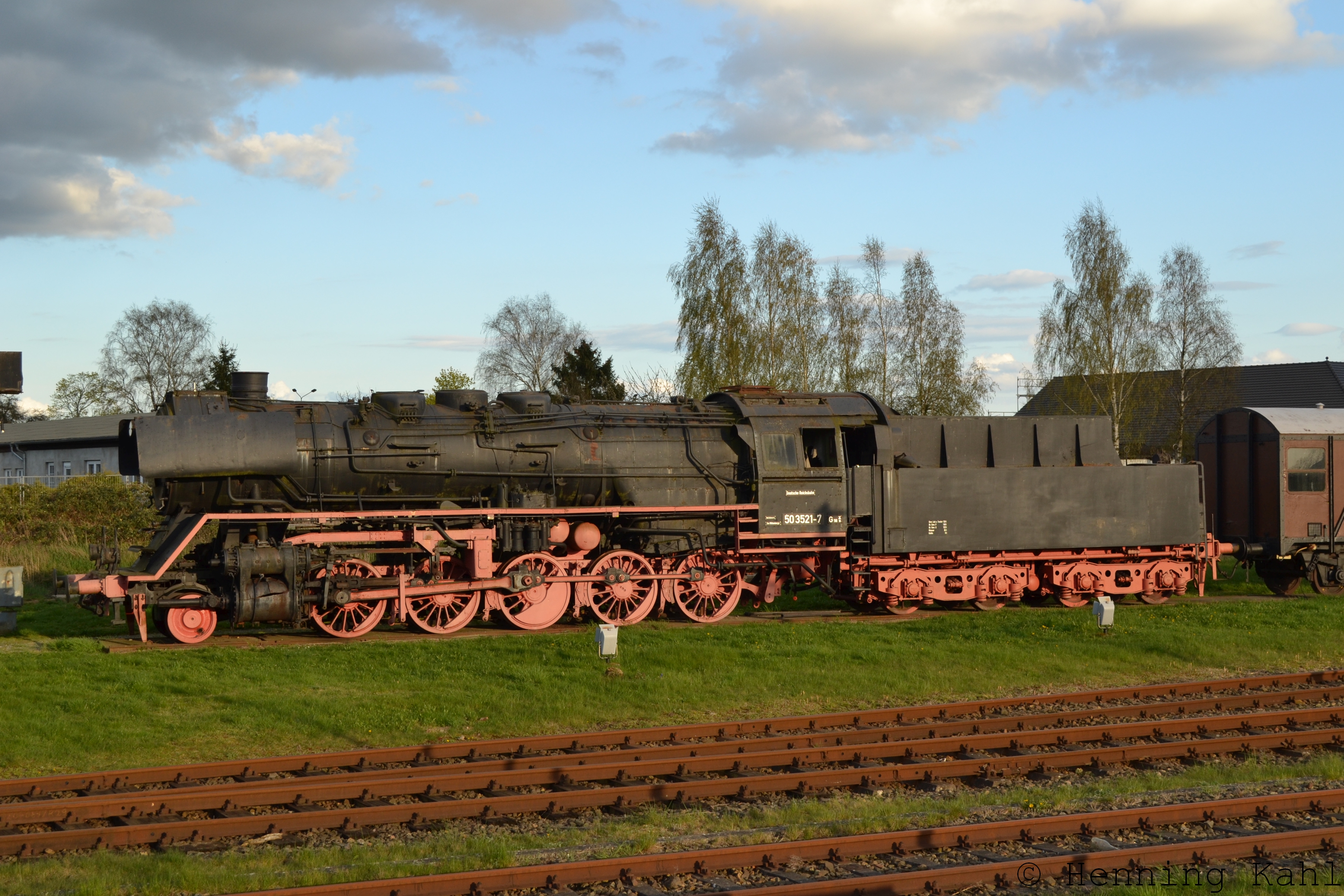
Denkmallok 50 3521-7 in Meyenburg
20120416 11_38_180118H

Shell - Flussmuschel am Suckower See
Topographic Map of Schmolde, Meyenburg, Germany
Find elevation by address:

Places in Schmolde, Meyenburg, Germany:
Places near Schmolde, Meyenburg, Germany:
Dorfstraße 63, Meyenburg, Germany
Meyenburg
Struck
Birkenweg 7, Gerdshagen, Germany
Predigerstraße 32, Wittstock/Dosse, Germany
Gerdshagen
Freyenstein
Retzow
Am Dorfpl. 47, Buchberg, Germany
Wilmersdorf
Stuer
Burgweg 19, Stuer, Germany
Stuer-vorwerk
Hauptstraße Wilmersdorf 7, Pritzwalk, Germany
Alt Krüssow
Gnevsdorf
26a
Buchberg
Telschower Weg 9, Marienfließ, Germany
Steinstraße 22, Buchberg, Germany
Recent Searches:
- Elevation of Corso Fratelli Cairoli, 35, Macerata MC, Italy
- Elevation of Tallevast Rd, Sarasota, FL, USA
- Elevation of 4th St E, Sonoma, CA, USA
- Elevation of Black Hollow Rd, Pennsdale, PA, USA
- Elevation of Oakland Ave, Williamsport, PA, USA
- Elevation of Pedrógão Grande, Portugal
- Elevation of Klee Dr, Martinsburg, WV, USA
- Elevation of Via Roma, Pieranica CR, Italy
- Elevation of Tavkvetili Mountain, Georgia
- Elevation of Hartfords Bluff Cir, Mt Pleasant, SC, USA