Elevation of Predigerstraße 32, Wittstock/Dosse, Germany
Location: Germany > Brandenburg > Wittstock > Freyenstein >
Longitude: 12.3527584
Latitude: 53.2871057
Elevation: 84m / 276feet
Barometric Pressure: 100KPa
Elevation Map:
Satellite Map:
Related Photos:

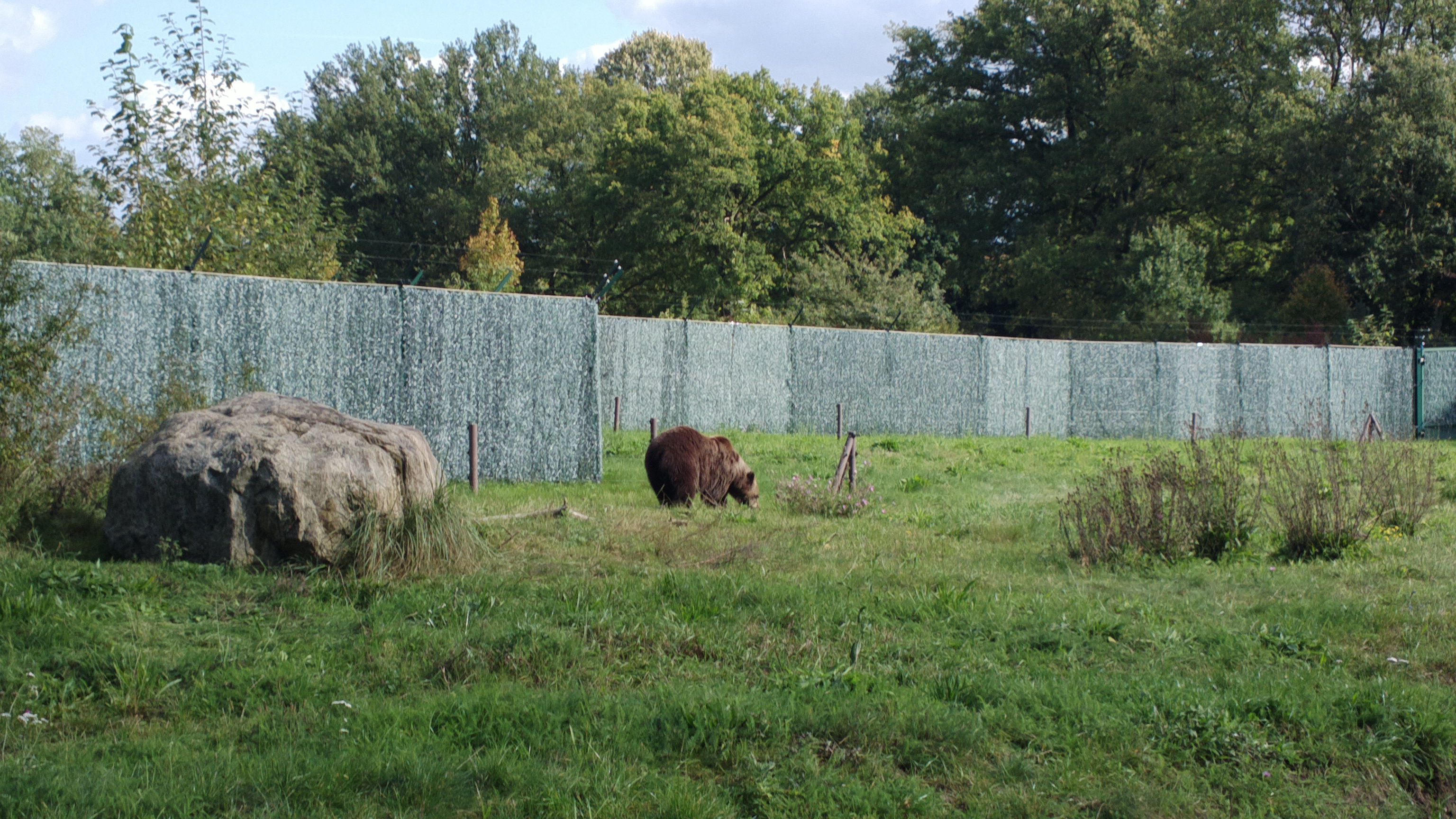
Mönchsee bei Wredenhagen
2012-09-30-0606
2012-09-30-0599
2012-09-30-0600
2012-09-30-0598
Plauer See 1
Fliegerhorst Alt Daber
2012-09-30-0607

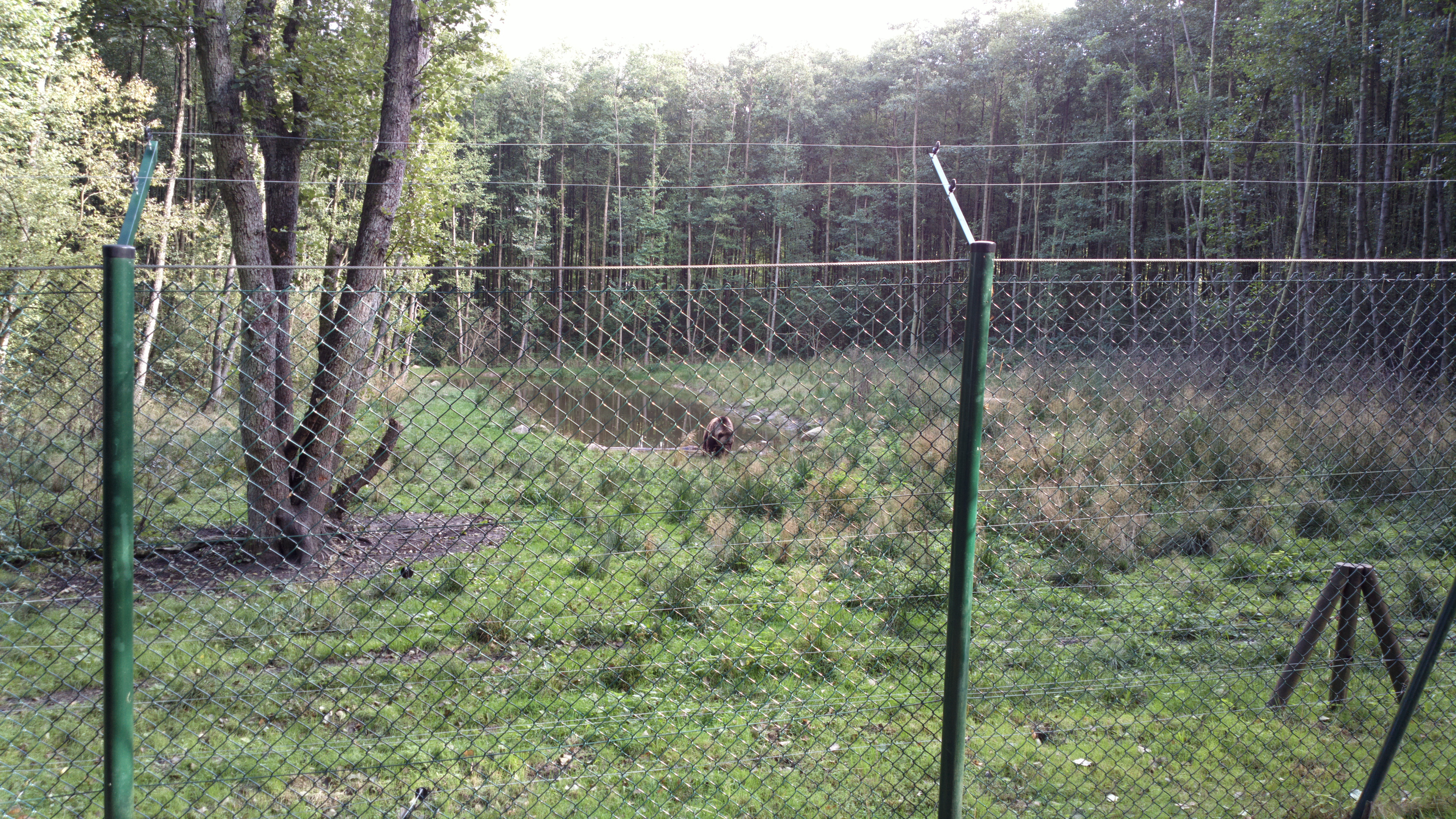
Mönchsee bei Wredenhagen
2012-09-30-0612

20090716-_MG_0311

20090716-_MG_0306

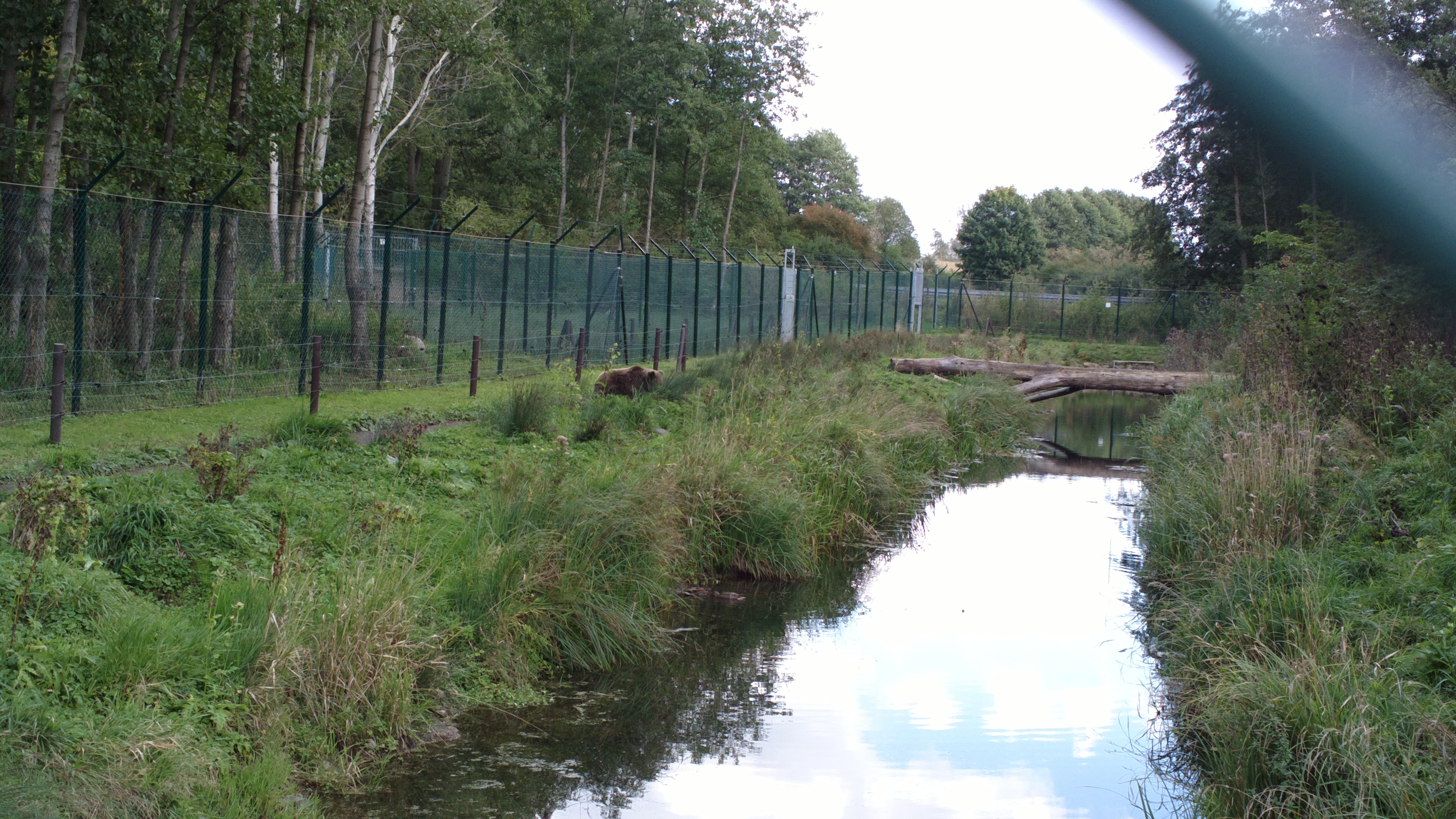
Mönchsee bei Wredenhagen

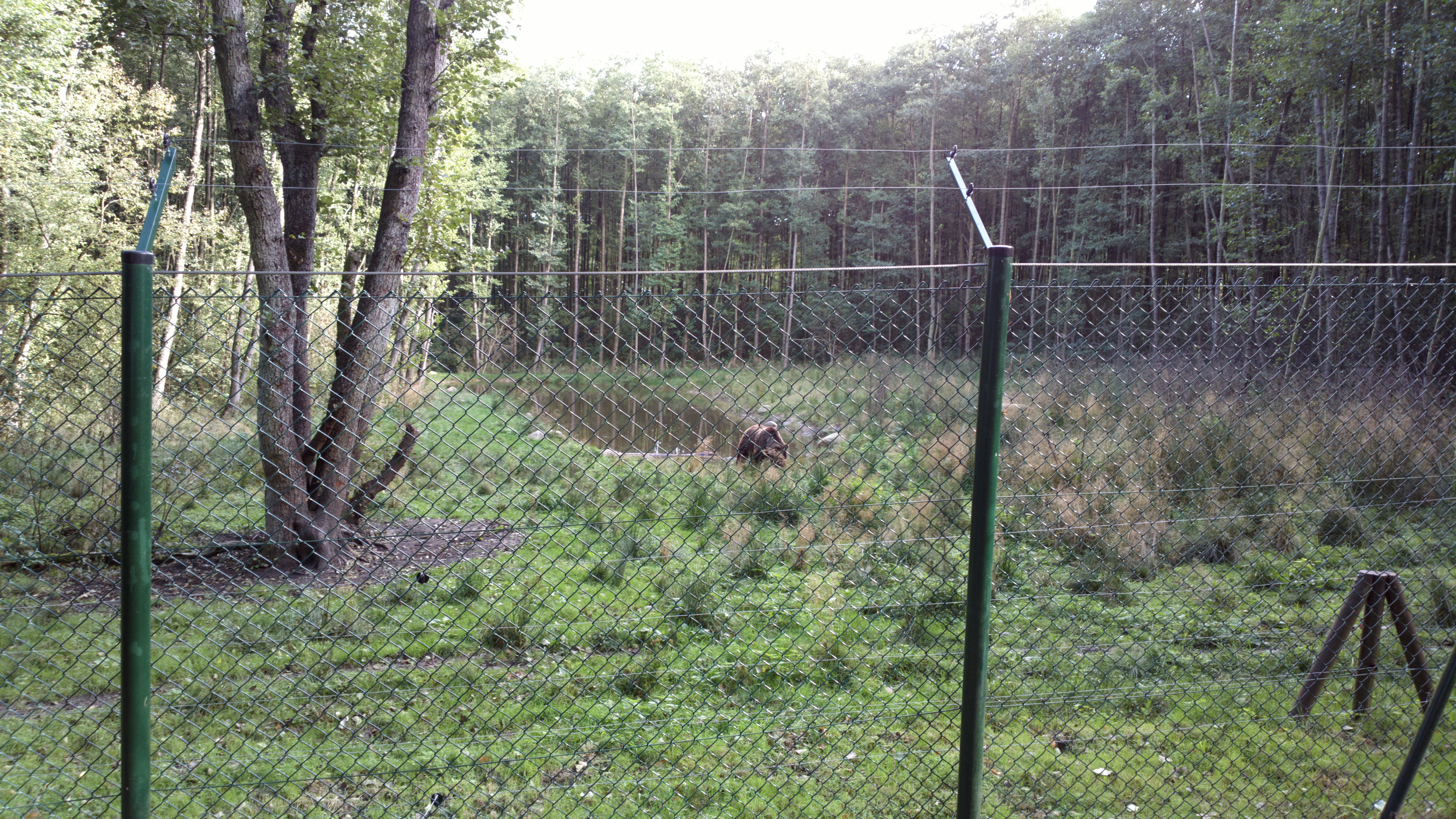
Mönchsee bei Wredenhagen

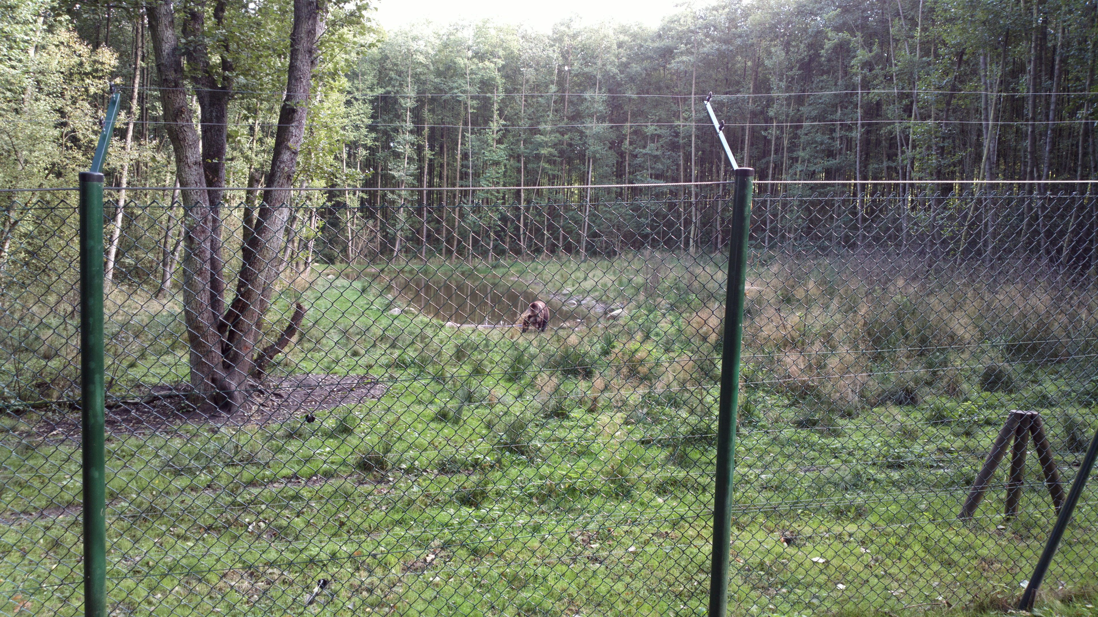
Mönchsee bei Wredenhagen

20090716-_MG_0319
2012-09-30-0615
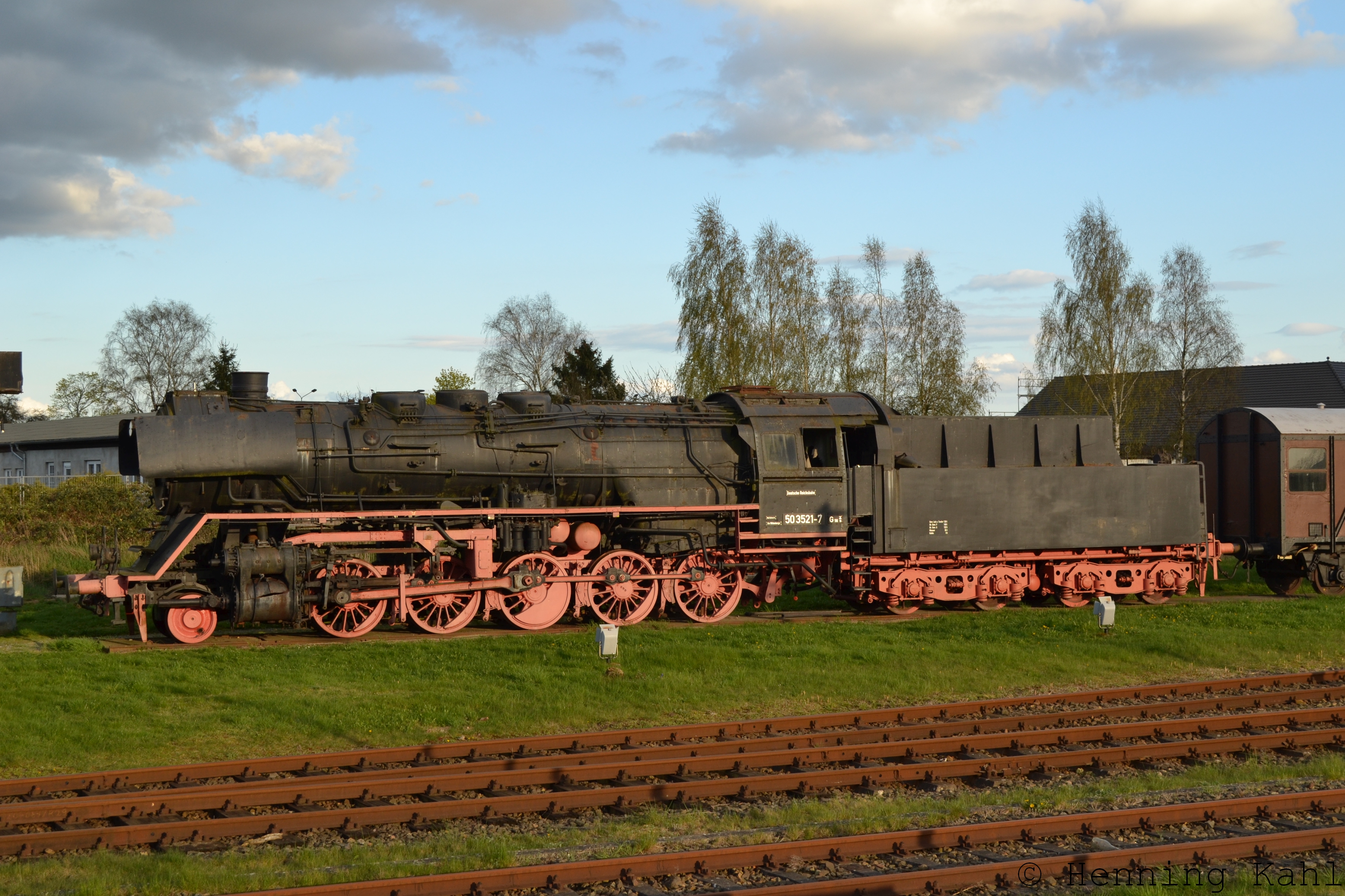
Denkmallok 50 3521-7 in Meyenburg
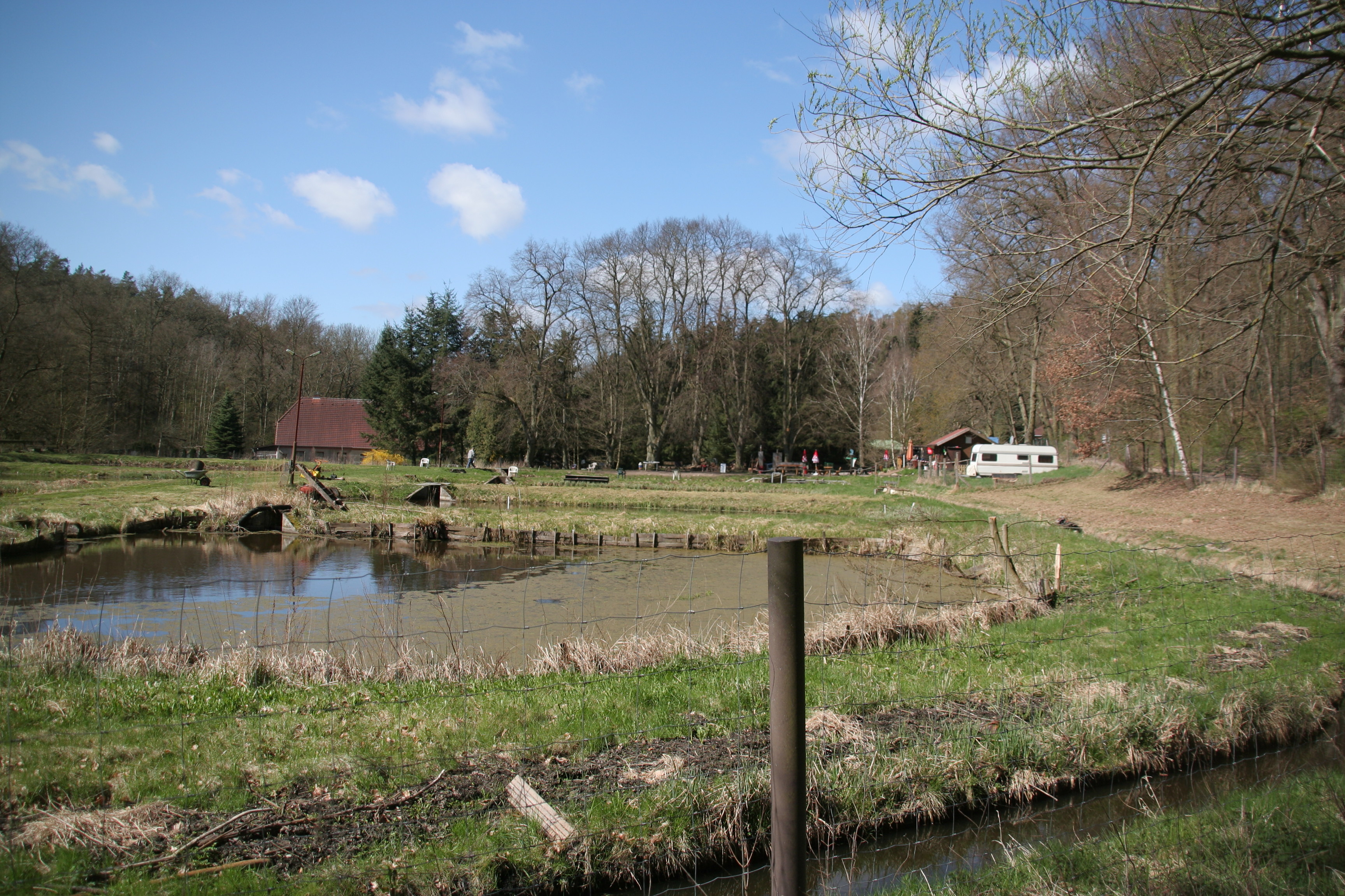
20120416 11_38_180118H

Shell - Flussmuschel am Suckower See
Topographic Map of Predigerstraße 32, Wittstock/Dosse, Germany
Find elevation by address:

Places near Predigerstraße 32, Wittstock/Dosse, Germany:
Freyenstein
Dorfstraße 63, Meyenburg, Germany
Schmolde
Burgweg 19, Stuer, Germany
Stuer-vorwerk
Stuer
Fünfseen
Meyenburg
Satow
Dorfstraße 51, Fünfseen, Germany
Schinkelplatz (Glienicke) 19, Heiligengrabe, Germany
Glienicke
Wilmersdorf
Hauptstraße Wilmersdorf 7, Pritzwalk, Germany
Kogel
Lindenstraße 34, Fünfseen, Germany
Heiligengrabe
Struck
Birkenweg 7, Gerdshagen, Germany
Alt Krüssow
Recent Searches:
- Elevation of Corso Fratelli Cairoli, 35, Macerata MC, Italy
- Elevation of Tallevast Rd, Sarasota, FL, USA
- Elevation of 4th St E, Sonoma, CA, USA
- Elevation of Black Hollow Rd, Pennsdale, PA, USA
- Elevation of Oakland Ave, Williamsport, PA, USA
- Elevation of Pedrógão Grande, Portugal
- Elevation of Klee Dr, Martinsburg, WV, USA
- Elevation of Via Roma, Pieranica CR, Italy
- Elevation of Tavkvetili Mountain, Georgia
- Elevation of Hartfords Bluff Cir, Mt Pleasant, SC, USA