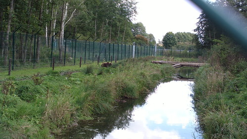
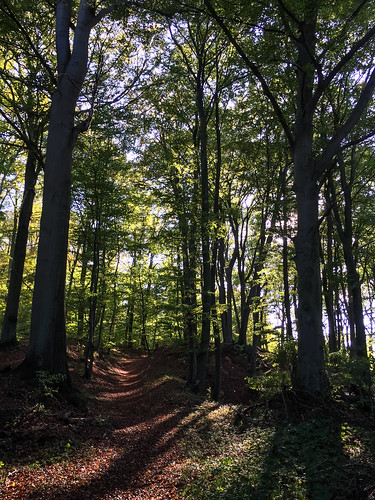
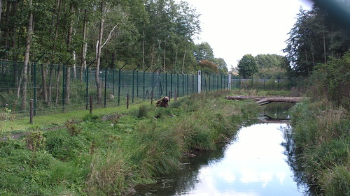
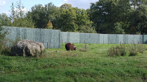
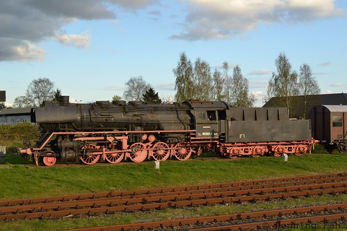
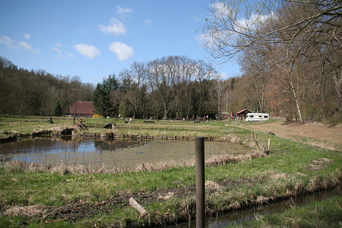
Elevation of Dorfstraße 63, Meyenburg, Germany
Location: Germany > Brandenburg > Meyenburg > Schmolde >
Longitude: 12.28193
Latitude: 53.28152
Elevation: 125m / 410feet
Barometric Pressure: 100KPa
Related Photos:
Topographic Map of Dorfstraße 63, Meyenburg, Germany
Find elevation by address:

Places near Dorfstraße 63, Meyenburg, Germany:
Schmolde
Meyenburg
Predigerstraße 32, Wittstock/Dosse, Germany
Freyenstein
Struck
Birkenweg 7, Gerdshagen, Germany
Gerdshagen
Wilmersdorf
Stuer
Burgweg 19, Stuer, Germany
Stuer-vorwerk
Hauptstraße Wilmersdorf 7, Pritzwalk, Germany
Retzow
Am Dorfpl. 47, Buchberg, Germany
Alt Krüssow
26a
Gnevsdorf
Steinstraße 22, Buchberg, Germany
Buchberg
Telschower Weg 9, Marienfließ, Germany
Recent Searches:
- Elevation of Corso Fratelli Cairoli, 35, Macerata MC, Italy
- Elevation of Tallevast Rd, Sarasota, FL, USA
- Elevation of 4th St E, Sonoma, CA, USA
- Elevation of Black Hollow Rd, Pennsdale, PA, USA
- Elevation of Oakland Ave, Williamsport, PA, USA
- Elevation of Pedrógão Grande, Portugal
- Elevation of Klee Dr, Martinsburg, WV, USA
- Elevation of Via Roma, Pieranica CR, Italy
- Elevation of Tavkvetili Mountain, Georgia
- Elevation of Hartfords Bluff Cir, Mt Pleasant, SC, USA
