Elevation of Scafell Pike, Seascale, Cumbria CA20, UK
Location: United Kingdom > Cumbria > Wasdale Head >
Longitude: -3.211602
Latitude: 54.454223
Elevation: 960m / 3150feet
Barometric Pressure: 90KPa
Elevation Map:
Satellite Map:
Related Photos:
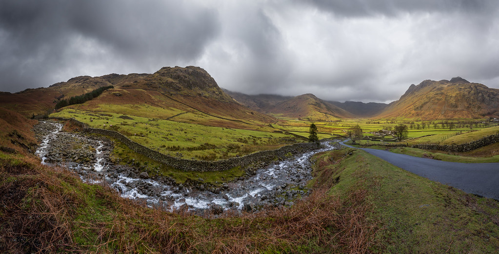
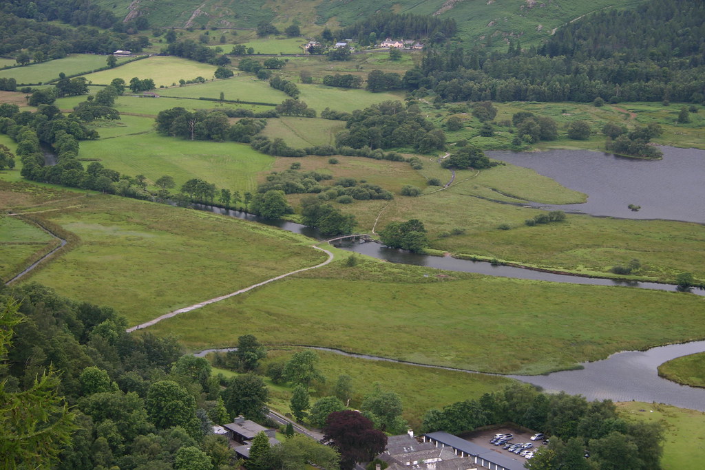
Blea Tarn.
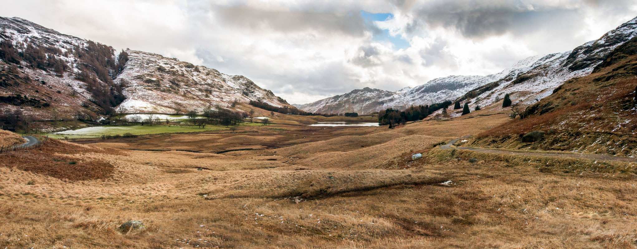
Kettle Crag & Redacre Gill (Langdale Panorama), Lake District
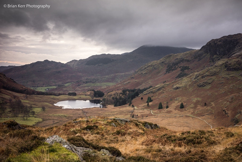
Blea Tarn
miracle of nature
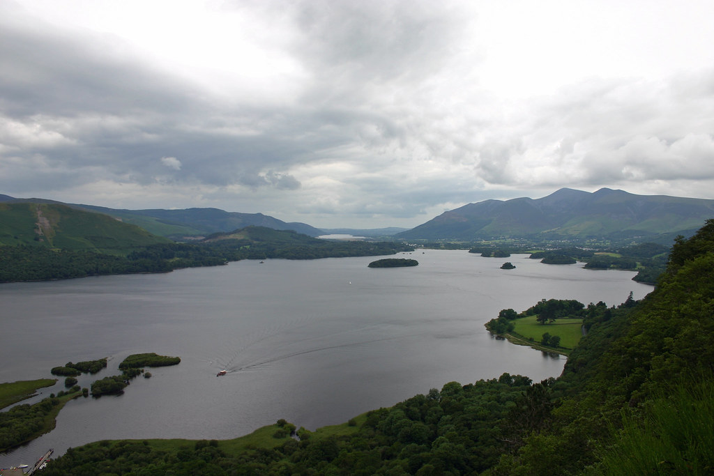
Derwentwater Reflections Panorma

Tarn Hows panorama
Lake District - Derwentwater Panorama
Lake Coniston
Puddle, Coniston
Blind Tarn from Buck Pike
Warnscale and Buttermere

View over crummock water
Lake District 3
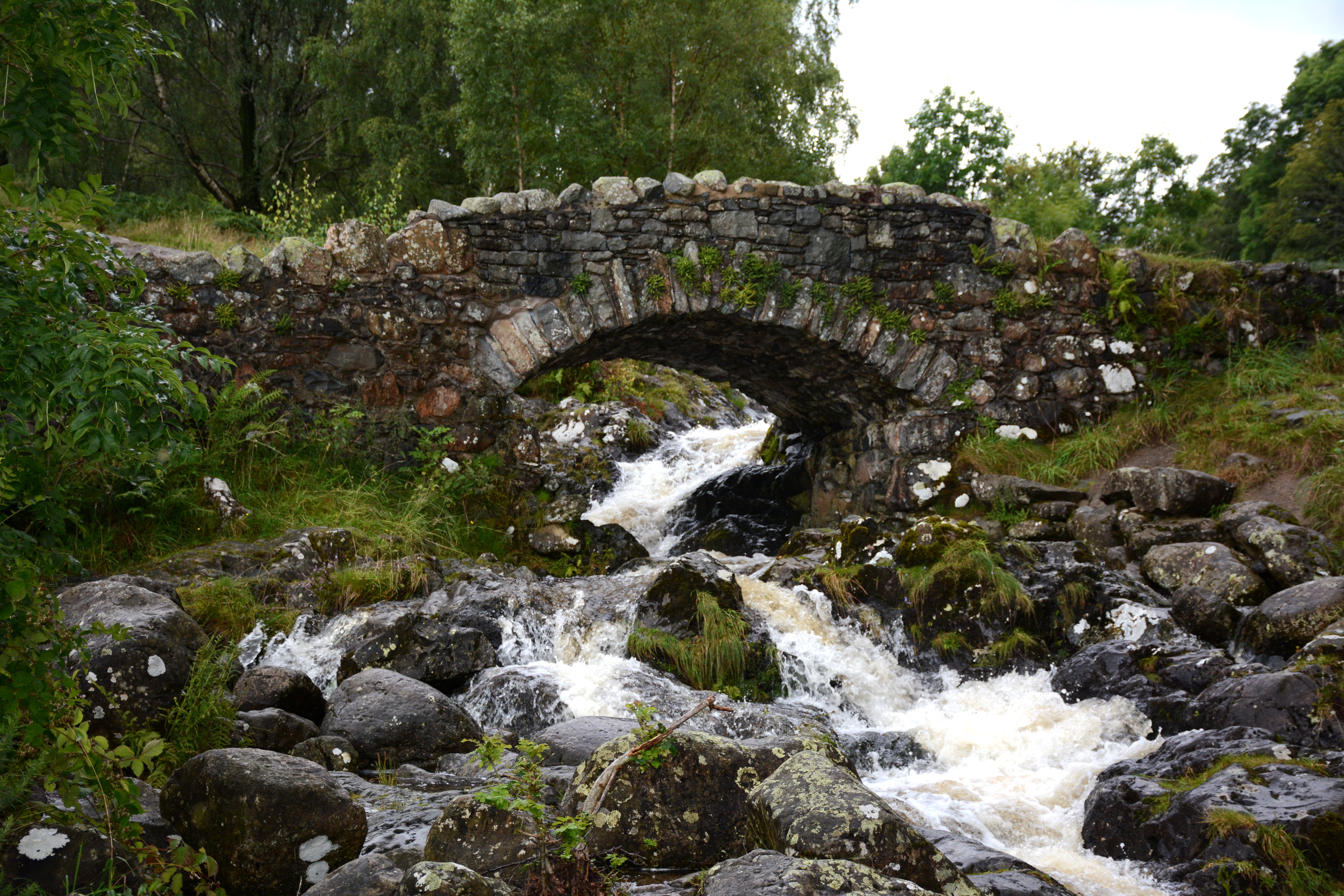
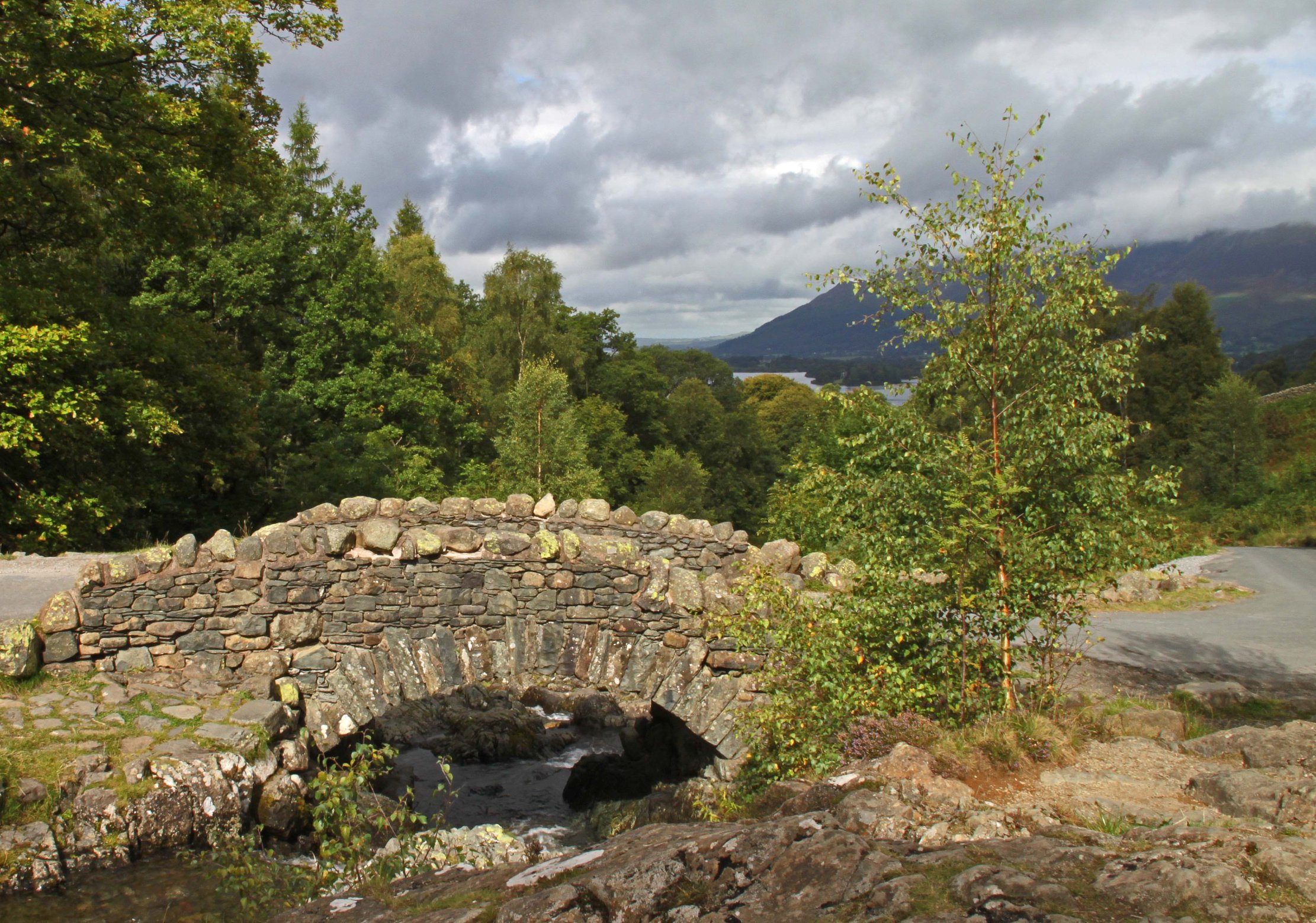
Ashness Bridge

View from Helm Crag looking over Grasmere
The Chinese Bridge - From Surprise view
Stunning Lake District Views
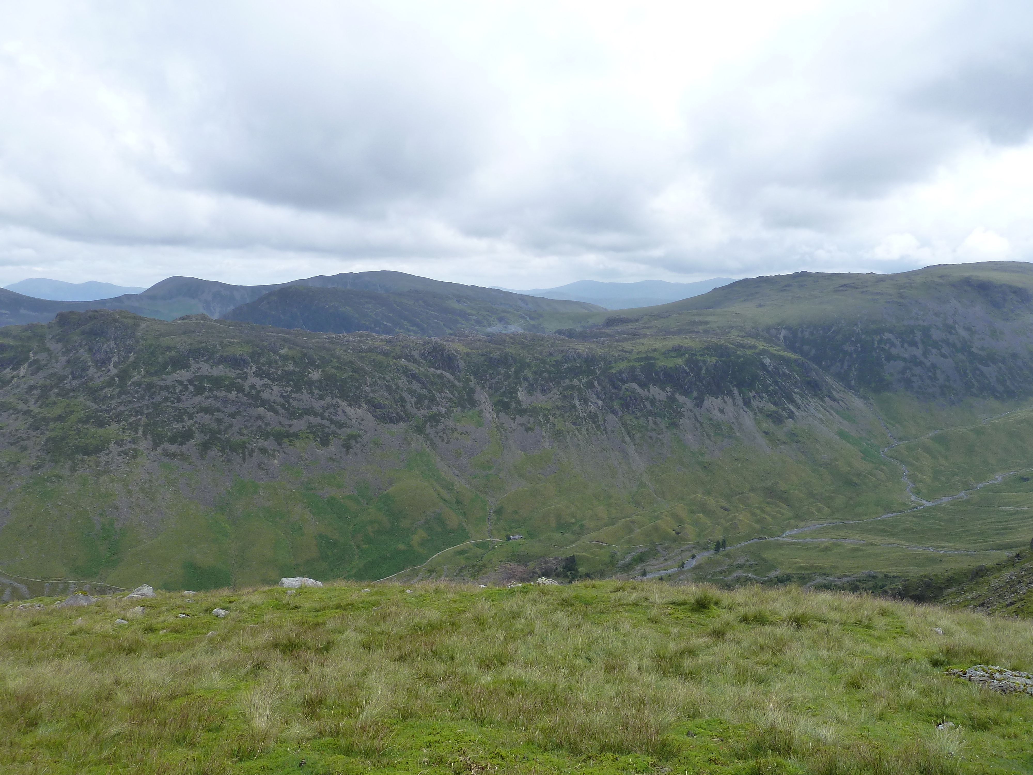
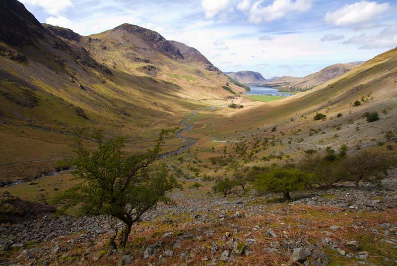
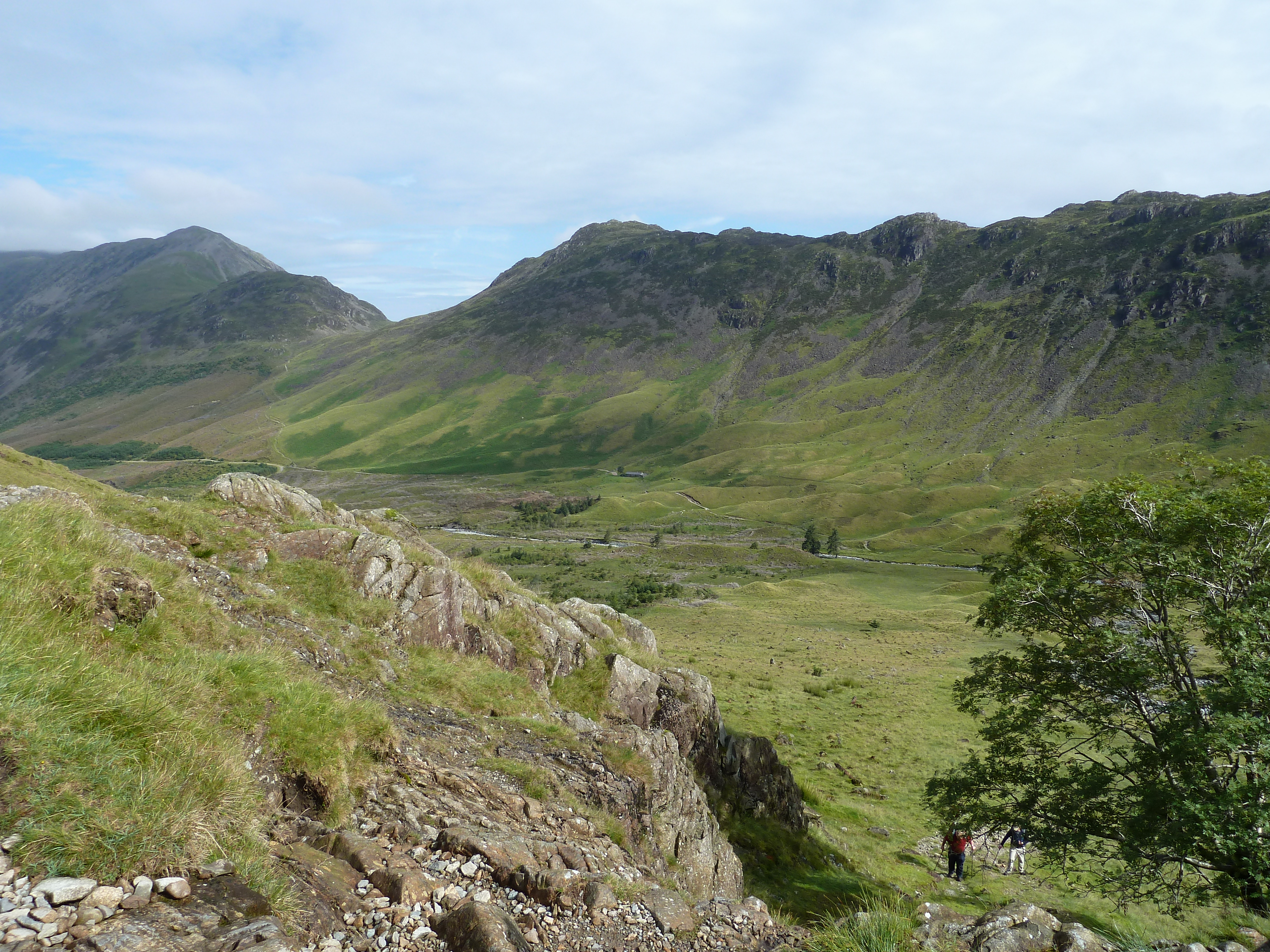
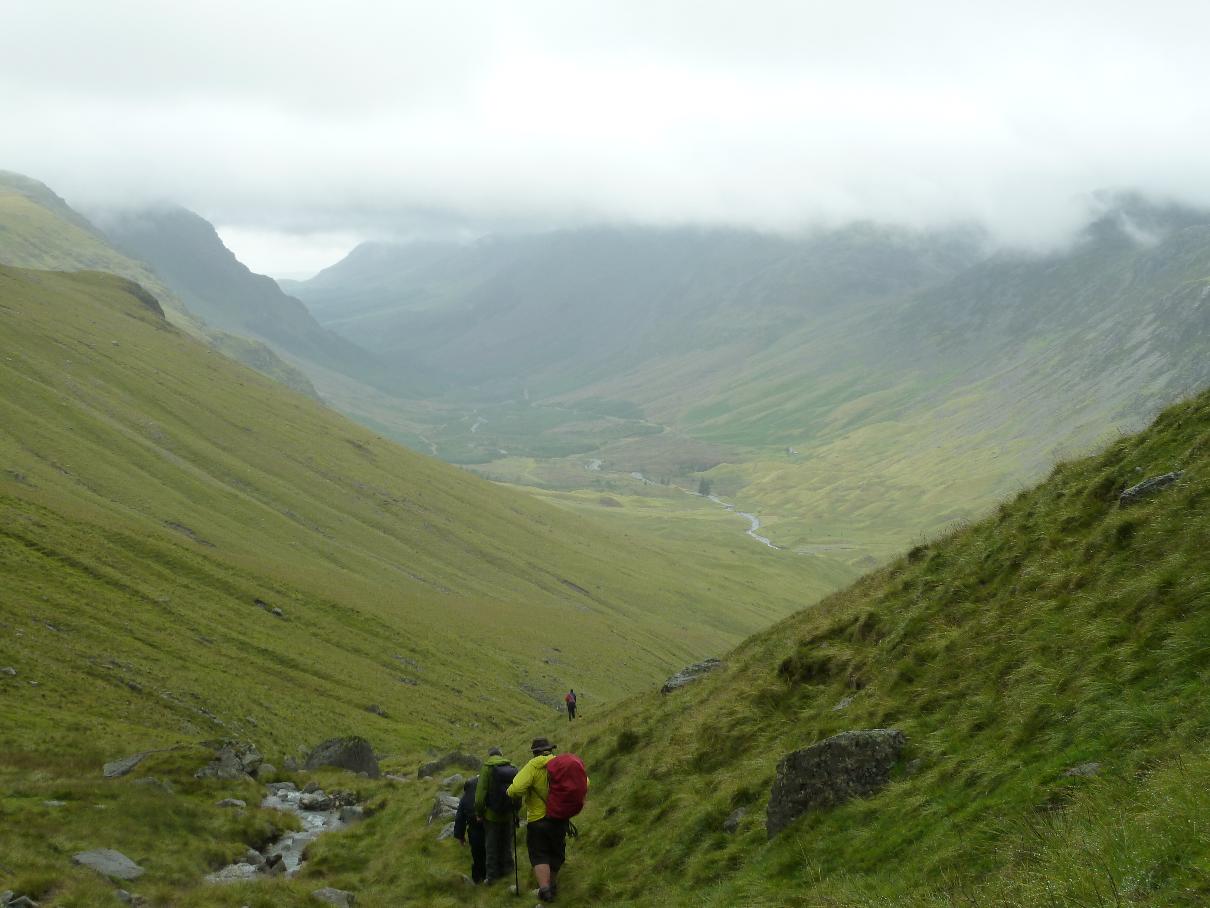
View of Black Sail Valley
Lake District Views
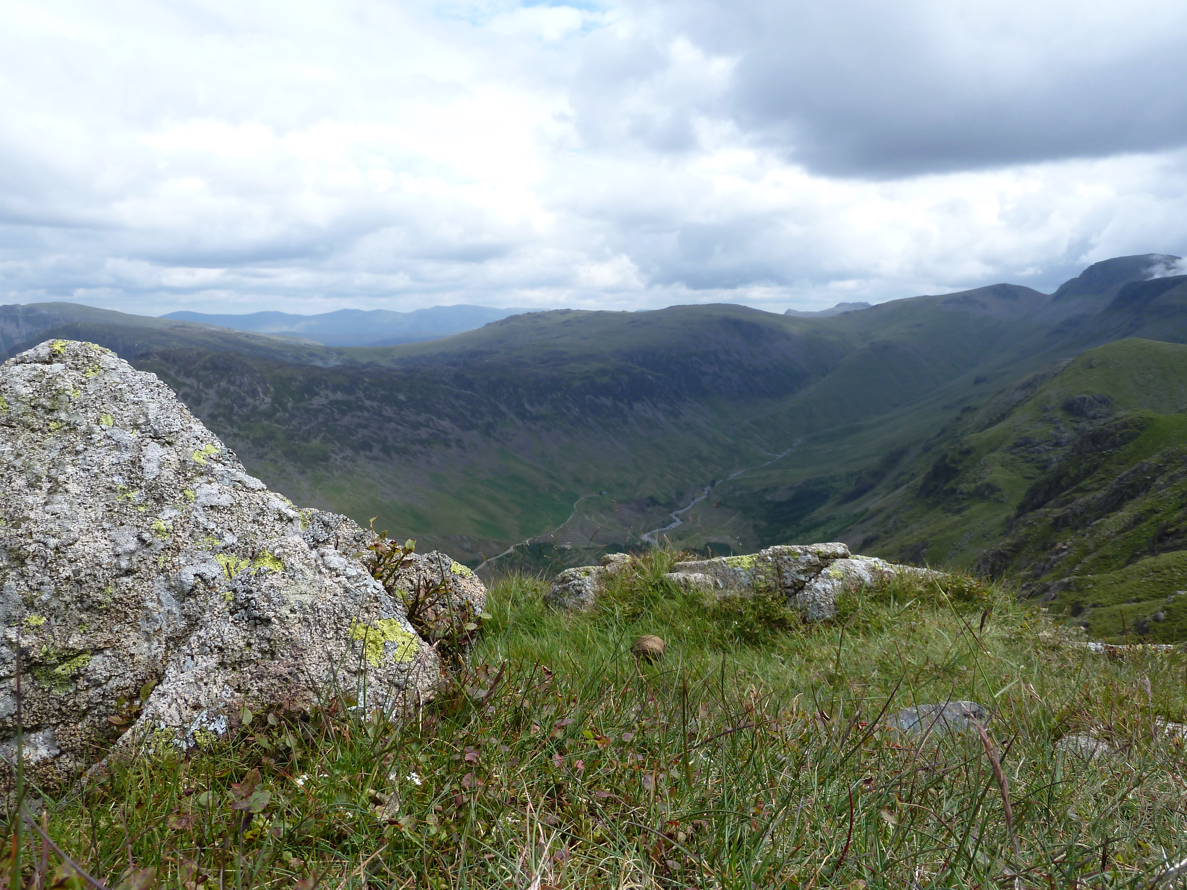
View into Black Sail valley
From Surprise View towards Keswick
Topographic Map of Scafell Pike, Seascale, Cumbria CA20, UK
Find elevation by address:

Places near Scafell Pike, Seascale, Cumbria CA20, UK:
Wasdale Head
Seathwaite
Yha Black Sail
Honister Pass
Lake District
Cockley Beck
Yewbarrow
Seatoller
Borrowdale
Boot
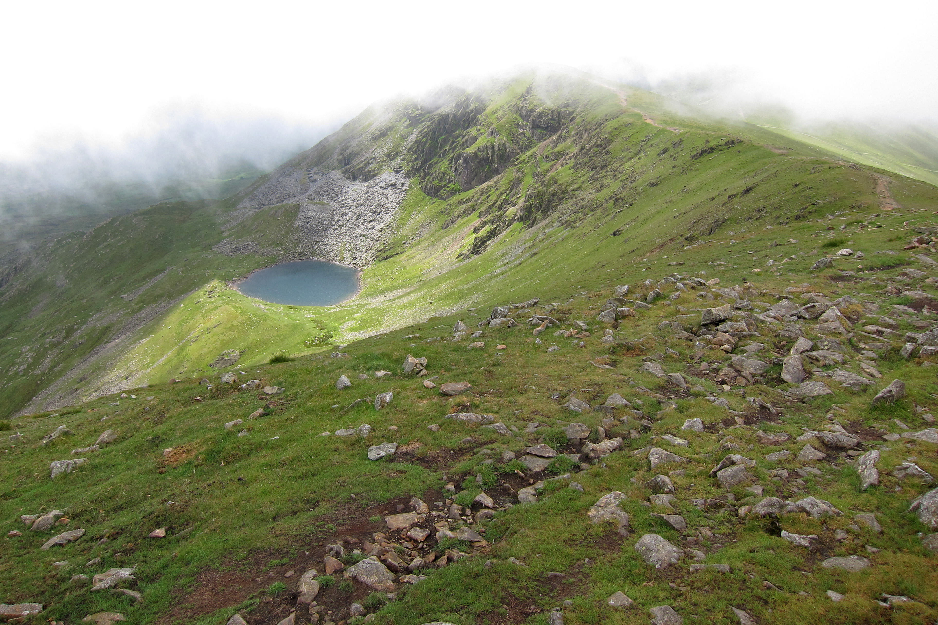
Red Tarn
Borrowdale
Buttermere
Ca19 1tf
Rosthwaite
Grange
Long Corner
Buttermere
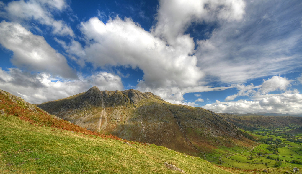
Langdale Pikes
Lake District National Park
Recent Searches:
- Elevation of Corso Fratelli Cairoli, 35, Macerata MC, Italy
- Elevation of Tallevast Rd, Sarasota, FL, USA
- Elevation of 4th St E, Sonoma, CA, USA
- Elevation of Black Hollow Rd, Pennsdale, PA, USA
- Elevation of Oakland Ave, Williamsport, PA, USA
- Elevation of Pedrógão Grande, Portugal
- Elevation of Klee Dr, Martinsburg, WV, USA
- Elevation of Via Roma, Pieranica CR, Italy
- Elevation of Tavkvetili Mountain, Georgia
- Elevation of Hartfords Bluff Cir, Mt Pleasant, SC, USA