Elevation of Borrowdale, UK

Location: United Kingdom > Cumbria >

Longitude: -3.1485782

Latitude: 54.502812

Elevation: 502m / 1647feet

Barometric Pressure: 95KPa

Elevation Map:

elevation map of Borrowdale, UK

Satellite Map:

Satellite map of Borrowdale, UK

Related Photos:

photography nationalpark lakedistrict january worldheritagesite cumbria morningmist northernengland cloudinversion colorphotoaward areaofoutstandingnaturalbeauty ringexcellence andrewclayborough clayborough wainwrightcountry clayboroughphotography
Poets View
park uk trip morning travel november autumn light shadow england sun sunlight mist lake tree english fall field grass misty fog sunrise canon landscape countryside early scenery branch view cloudy britain district branches united great lakedistrict foggy sigma kingdom national cumbria british autumnal ullswater 70d
A Misty Sunrise at Ullswater
Seat with a View
england herbst lakedistrict uk autumn moody atmosphere derwentwater water lakedistrictnp lakeland views viewpoint friarscrag keswick jawsofborrowdale castlecrag landscape atmospheric peaceful still quiet romantic quietlight mysterious quietude hills fells lake
Friar's Crag
england herbst lakedistrict uk autumn lakeland fell hiking loughriggfell lakedistrictnp ambleside nature outdoors hills landscape autumnal colours orange bracken views yellow brown autumncolours erdfarben earthycolours
Loughrigg Fell
castleriggstonecircle keswick lakedistrict cold frost sunrise ancient timetravel stonecircle blencathra fell autumn light lakeland
Kissed by the Light
landscape view vista bleatarn lake water tree woodland forest langdales mountain trunk foliage lakedistrict nationalpark cumbria hdr nationaltrust
Magical view through the trees
lakedistrict mono trees derwentwater reflections goldcollection panorama
Derwent Water mono
grasmere lake mere water lakedistrict nationalpark cumbria landscape mountain woodland forest autumn tree bracken
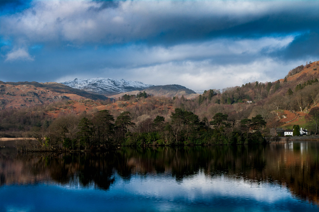
Grasmere from Loughrigg Terrace
canon 1635mm landscape lake district nature sky sunset 5d landmark photo photograph island view uk great britain blue horizon long exposure shore wet gitzo benro cloudscape outdoor travel dramatic sun setting water cumbria england mountains valley tree boat mountainscape season seasonal tourism destination range idyllic perfect conditions ideal buttermere lone lonetreebuttermere pink pastel lakedistrict
Lone Tree Buttermere
grasmere lakedistrict lake water mountain landscape mist cloud field grass sheep stone wall moss tree cumbria england
Autumn morning at Grasmere
park uk trip morning travel light shadow vacation england cloud mist mountain lake holiday reflection tree english water clouds sunrise canon landscape march countryside early spring scenery rocks view britain district united great north lakedistrict scenic sigma kingdom national cumbria british keswick skiddaw bassenthwaite 70d
Bassenthwaite Lake Sunrise
uk bridge england river landscape photography scenery europe lakes lakedistrict atmosphere cumbria gb derwentwater skiddaw waterscape packhorse bassenthwaite ashness
Ashness bridge in the Lake District, England. UK
english lake district thelakes landscape flowers cumbria tourist 2016 northwest yacht trees blue pentax lakes boat summer harvey smith photography green northern england englishlakedistrict harveysmithphotography2016 lakedistrict northernengland derwentwater surpriseview
Surprise View
lake grasmere lakedistrict nationalpark shore water seat bench tree rock woodland reflection mist cloud cumbria england english landscape
Viewpoint over Grasmere
newlandspass mossforce buttermere cumbria lakedistrict
Light in the Valley
windermere ambleside lakedistrict cumbria
Boats in the Mist
ennerdale ennerdalewater landscape landscapes uk england cumbria lakedistrict lake district walking winter snow snowcappedhills snowcapped hills hill light sun orange warm water cloud clouds filter filters ndfilter lee leefilters leefilter canon canoneos60d eos60d eos 60d sigma sigma1835mmf18 sigma1835mm 1835mm
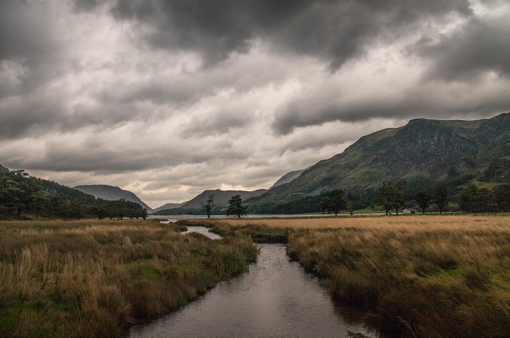
The Climb Above Ennerdale
castlerigg castleriggstonecircle stonecircle lakedistrict keswick cumbria sunset evening winter
Castlerigg Sunset
grasmere lake water reflection lakedistrict nationalpark landscape mountain tree woodland building cumbria england english cloud mist
Grasmere between the trees
lakedistrict cumbria ennerdale westernfells cragfell
Crag fell...1710ft.
beck english lake district countrysidewalks thelakes landscape harvey smith photography 2016 pentax cumbria northern england northwest lakes autumn englishlakedistrict harveysmithphotography2016 lakedistrict northernengland gatesgarth buttermere peggysbridge
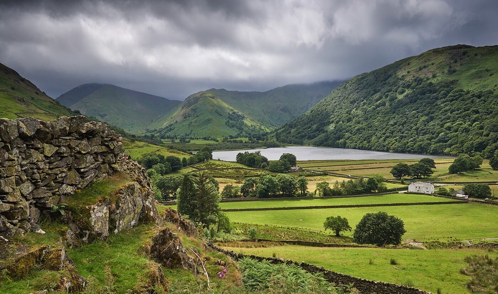
Towards Buttermere from Peggy's Bridge
lakedistrict littlelangdale quarryspoil coth5
It wasn't always a pastoral idyll.....
Bowfell and The Band
Crinkle Crags and Oxendale
lakedistrict cumbria buttermere dodd redpike
Over The saddle to Dodd.
camera painterly cumbria lakedistrictnationalpark clh classictoy colournegativefilm iphone6 contemporaryartssociety photoforge2 snapseed phototoaster grangefirth classicsnaplens ipadair
Dawn, Wastwater, Cumbria
kirkstonepass
Morning light - Kirkstone Pass
blue trees england lake green english landscape photography spring northwest pentax district lakes lakedistrict smith cumbria harvey northern thelakes 2016 northernengland englishlakedistrict countrysidewalks harveysmithphotography2016
A reflective moment?
square squareformat iphoneography instagramapp uploaded:by=instagram foursquare:venue=503223ace4b0d68f38eae19a
Derwent Water Lake
english lake district summer thelakes landscape harvey smith photography 2016 trees countrysidewalks cumbria northern england northwest lakes pentax englishlakedistrict harveysmithphotography2016 lakedistrict northernengland grange borrowdale castlecrag honistor path 2017
The Path
Summit close by :-)
coth5 ngc
Rannerdale Bluebells
square squareformat iphoneography instagramapp uploaded:by=instagram
Portinscale is a #village in #Cumbria, #England. It is situated close to the #western #shore of #Derwentwater and within the #LakeDistrict #NationalPark. It is some 1.5 miles (2.4 km) by road from Keswick. The village covers approximately 0.15 square mil
water sunny landscape tree tarn lake landscapephotography outdoorphotography southlakelanddistrict england unitedkingdom gb
Tarn Hows D75_6064.jpg
lakedistrict cumbria hillwalking grasmoor redpike northwesternfells
North western fells.
haystacks cumbria lakedistrict
Summit tarn....Haystacks
lakedistrict cumbria westernfells greatbourne wainwrightbagging2ndround
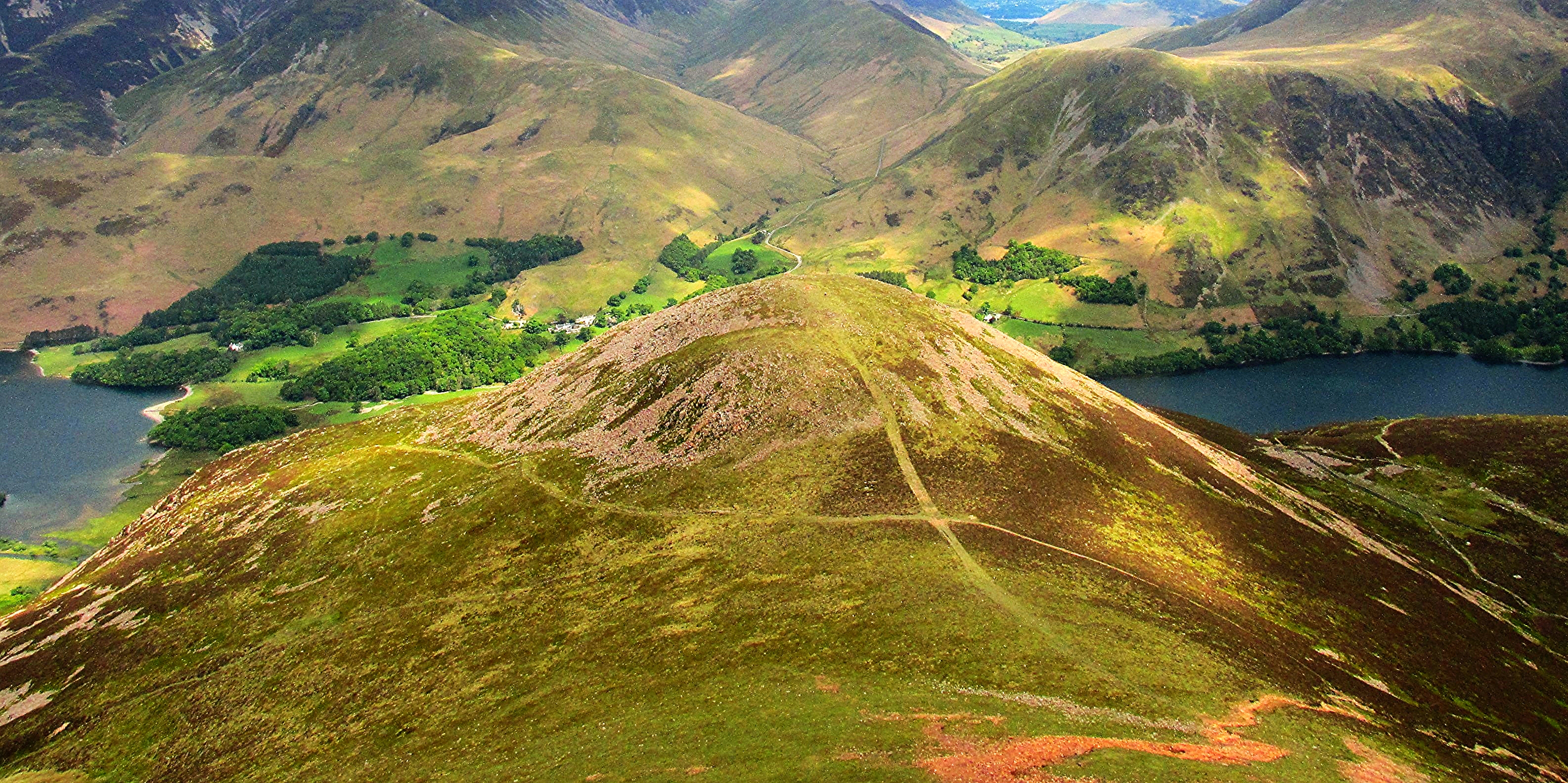
Great Bourne 2019ft.
lakedistrict crummockwater grasmoor mellbreak buttermereredpike
Red pike...2479ft.
cumbria lakedistrict england canon6d canon 247028 landscape mountains panorama lake
20160730-4568
Brotherswater from Hartsop.