Elevation of Dalegarth Cottages, Boot, Holmrook CA19 1TF, UK
Location: United Kingdom > Cumbria >
Longitude: -3.2828147
Latitude: 54.3921814
Elevation: 46m / 151feet
Barometric Pressure: 101KPa
Elevation Map:
Satellite Map:
Related Photos:

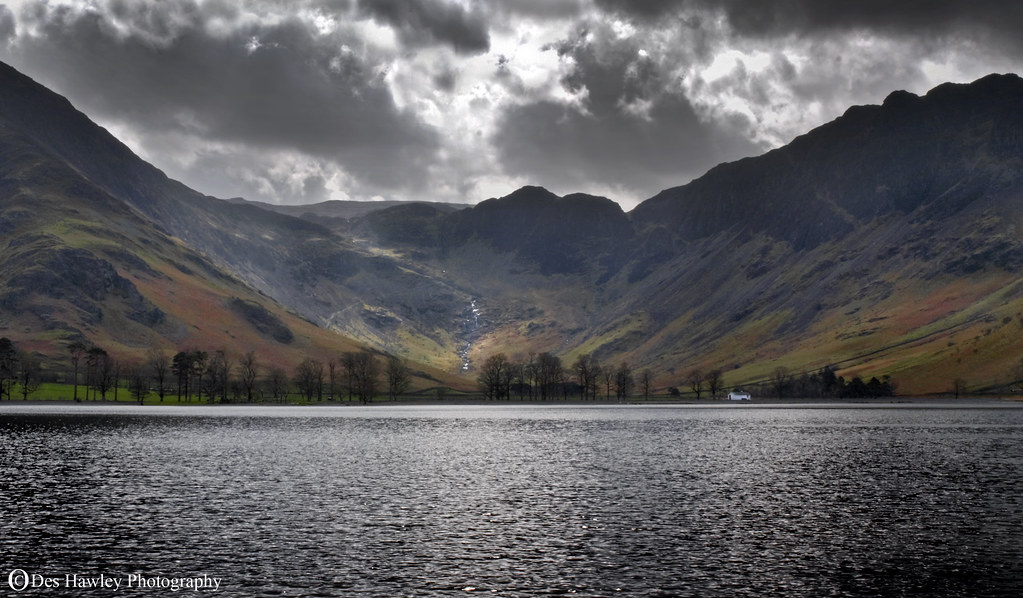
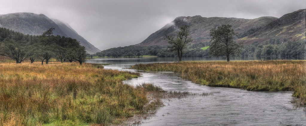
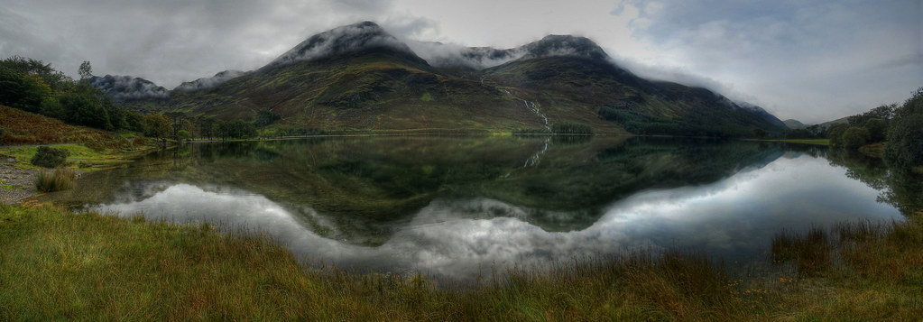
Reflections of Buttermere
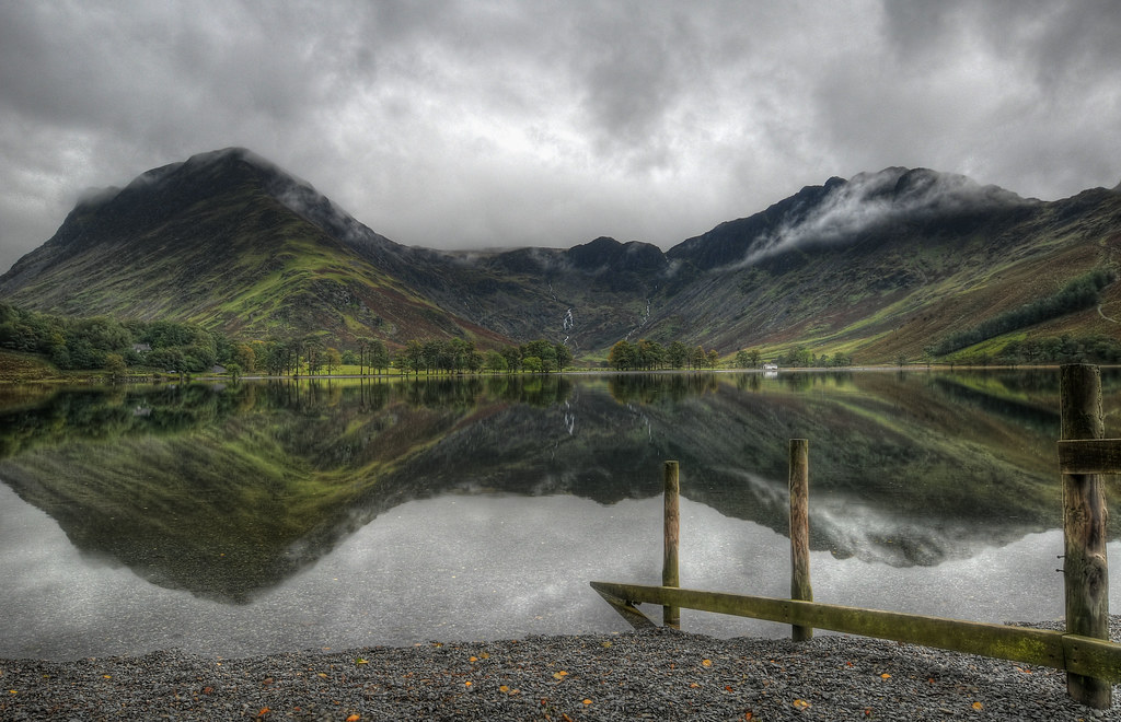
Britain's favourite view
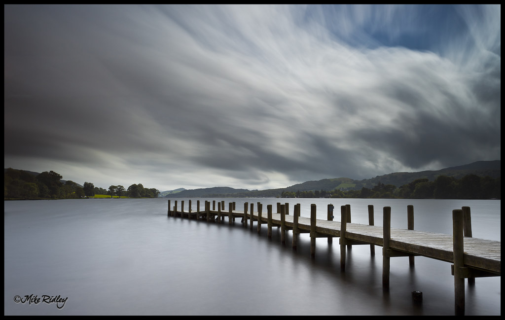
Coniston jetty
CATCHING THE LIGHT.
Thank you
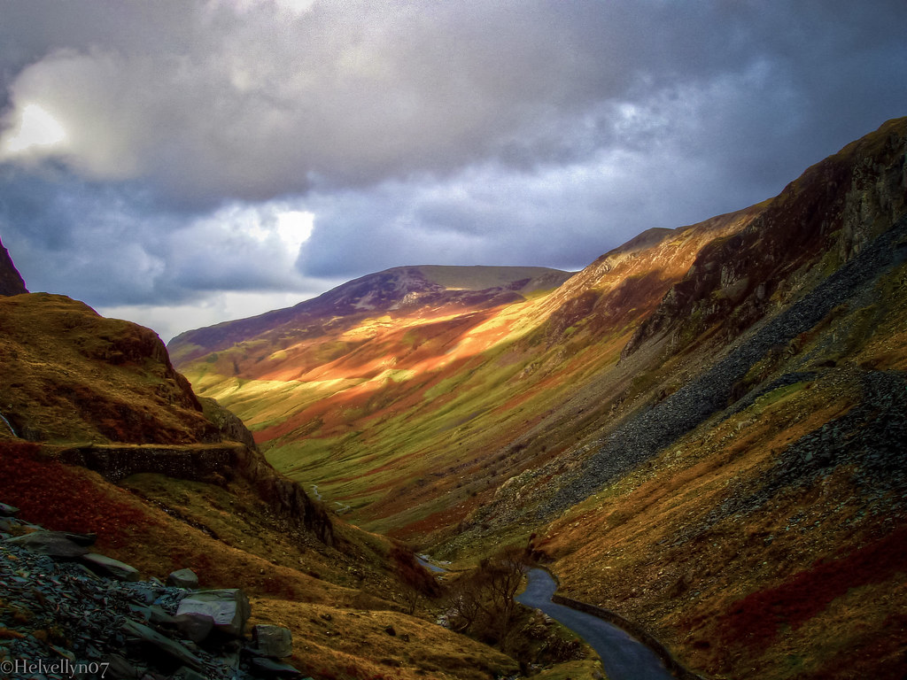
Sunlight over Honister Pass
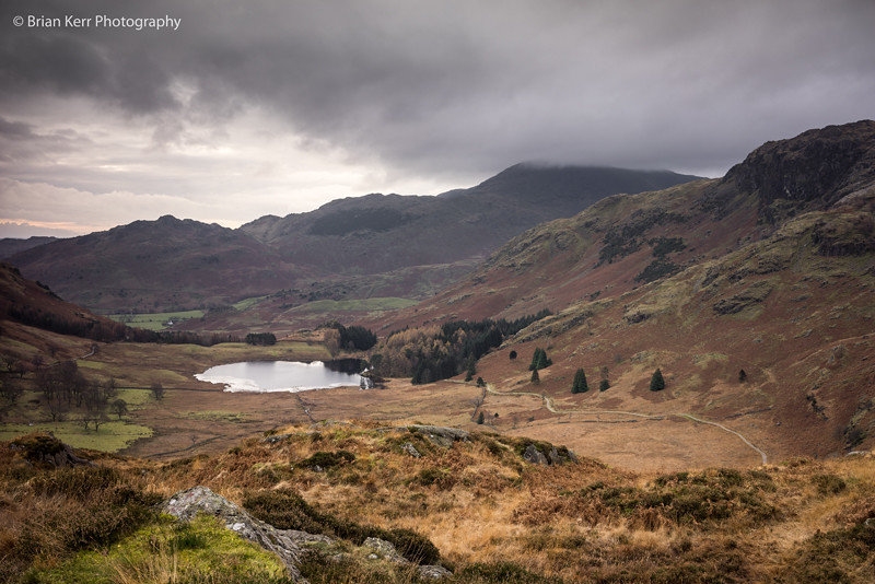
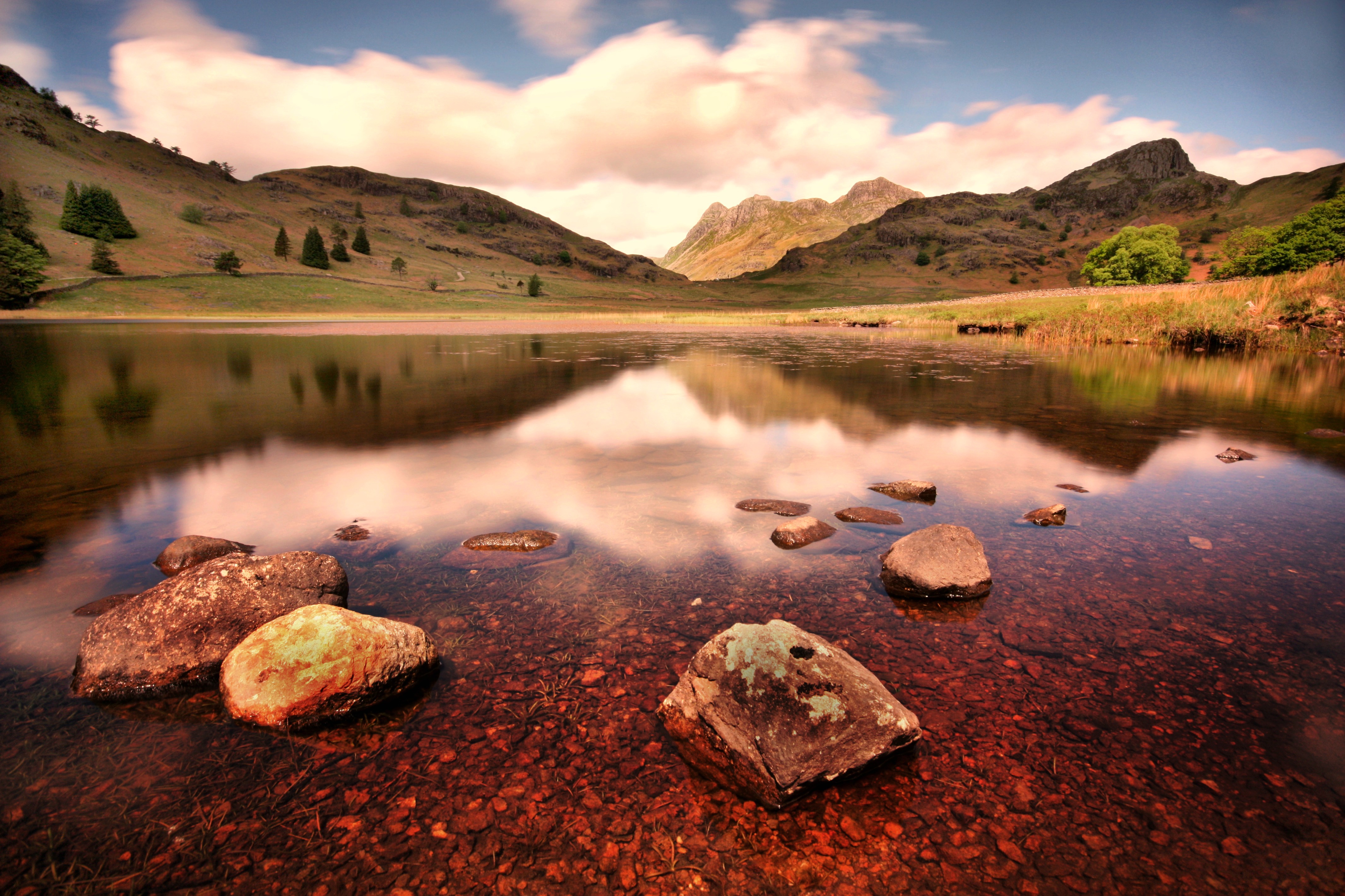
Blea Tarn
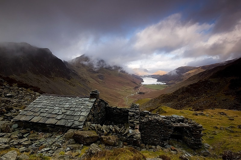
THE BOTHY
View NW to Buttermere from Peggy's Bridge
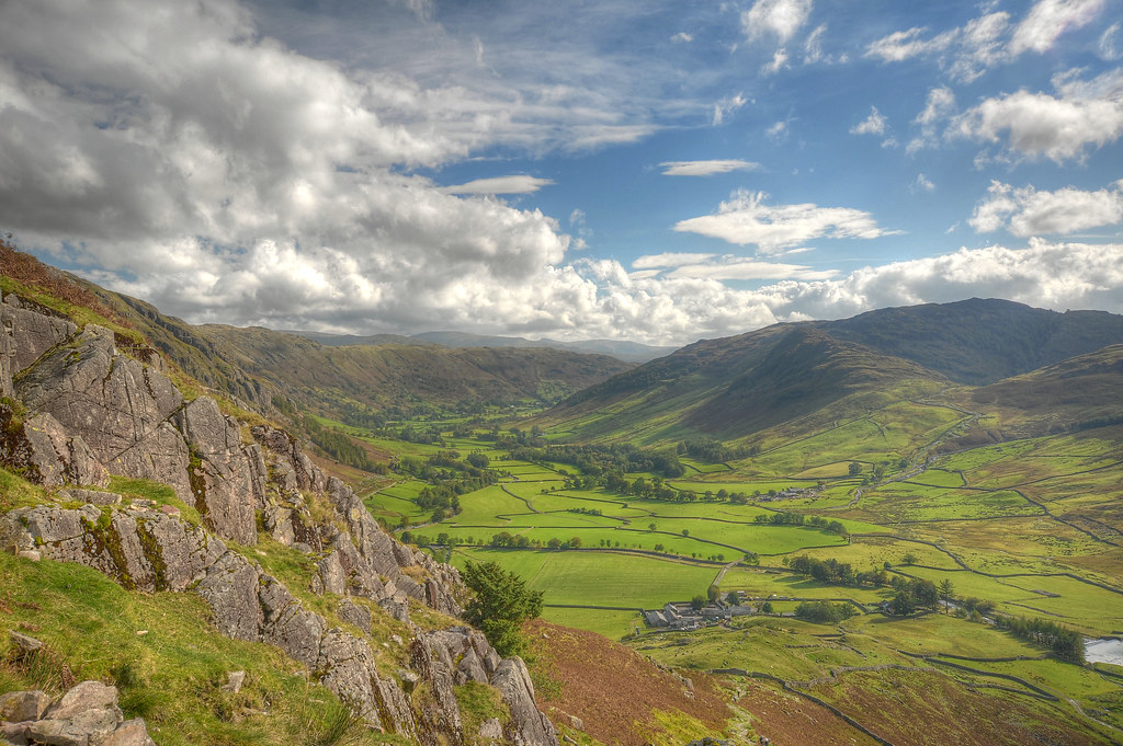
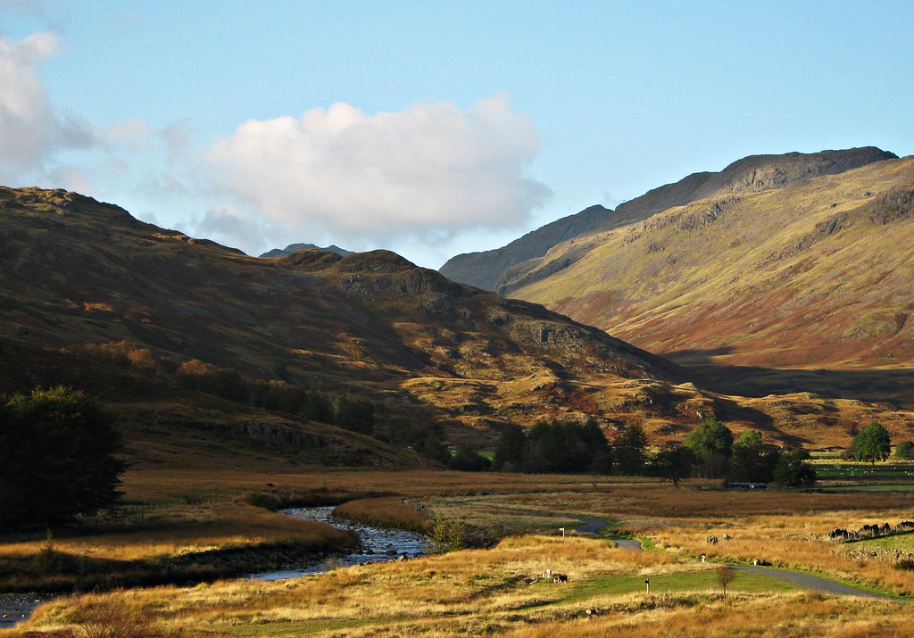
Great Langdale from The Band
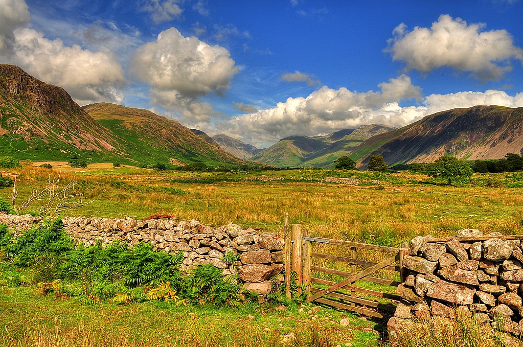
Wasdale view from the gate

Blea Tarn Langdales

Classic View

Lake District View

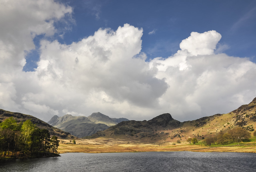
Blea Tarn
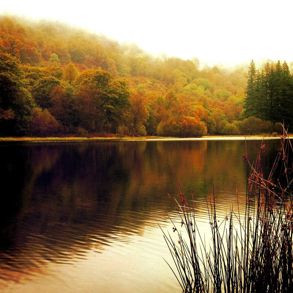
yew tree tarn

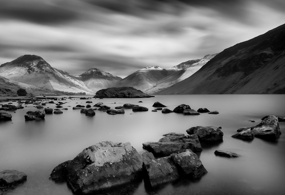
Yewbarrow & Great Gable
Blea Tarn Reflections
Blea Tarn
East-West View, Yew Tree Tarn, Cumbria
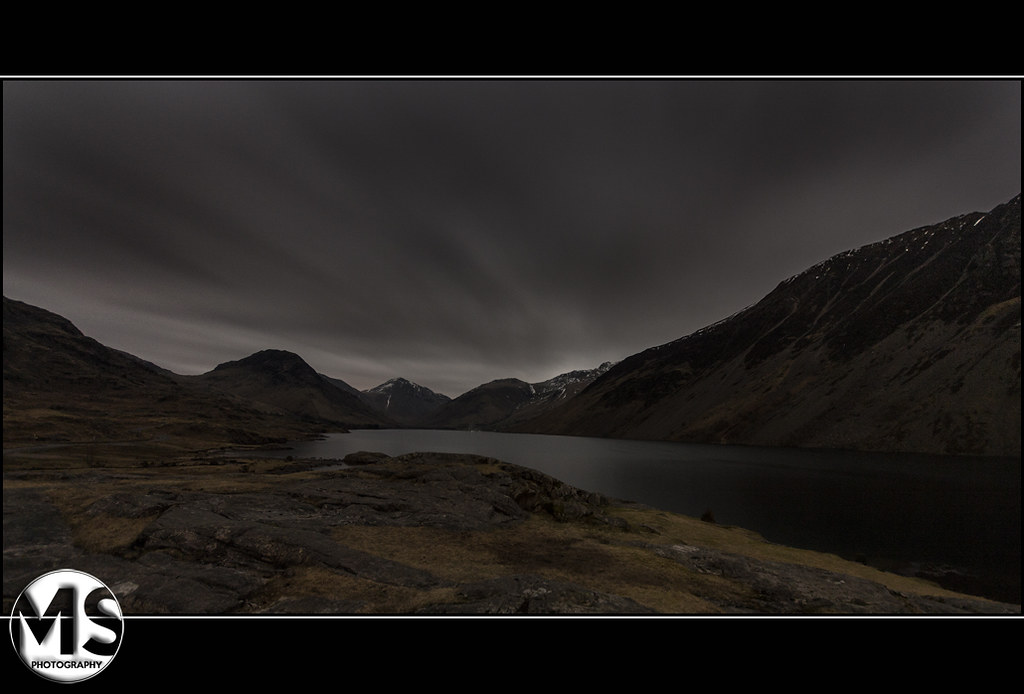
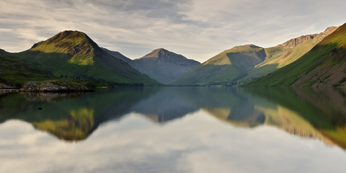
Wast Water
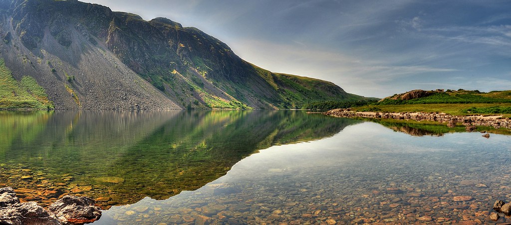
Wastwater pano
Buttermere with High Crag & High Stile
Buttermere - Fleetwith Pike & Haystacks
Wastwater Evening

Blea Tarn Later
The Little Sentinel
Winter Sky
Mosedale from Wind gap.

Cool Calm Reflective
Slaters Farm-Langdale

Top of the waterfall
Upper Ennerdale

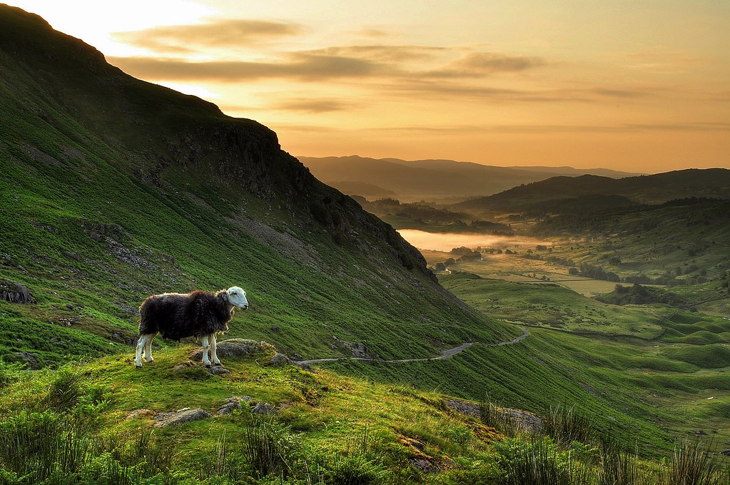
The Path to the Mountain
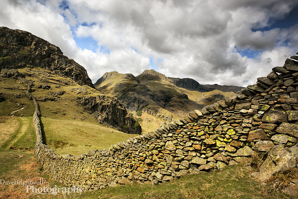
Over The Wall

Twin Peaks
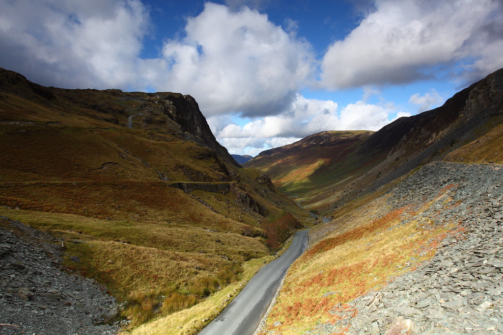
Honister Pass
Wrynose Pass sentry
Topographic Map of Dalegarth Cottages, Boot, Holmrook CA19 1TF, UK
Find elevation by address:

Places near Dalegarth Cottages, Boot, Holmrook CA19 1TF, UK:
Boot
Yewbarrow
Ulpha
Wasdale Head
Scafell Pike
Yha Black Sail
Cockley Beck
Buttermere
Honister Pass
Seathwaite
Buttermere
Red Tarn
Lake District
Ennerdale Water
Seatoller
Crummock Water
Borrowdale
Borrowdale
Rosthwaite
Langdale Pikes
Recent Searches:
- Elevation of Corso Fratelli Cairoli, 35, Macerata MC, Italy
- Elevation of Tallevast Rd, Sarasota, FL, USA
- Elevation of 4th St E, Sonoma, CA, USA
- Elevation of Black Hollow Rd, Pennsdale, PA, USA
- Elevation of Oakland Ave, Williamsport, PA, USA
- Elevation of Pedrógão Grande, Portugal
- Elevation of Klee Dr, Martinsburg, WV, USA
- Elevation of Via Roma, Pieranica CR, Italy
- Elevation of Tavkvetili Mountain, Georgia
- Elevation of Hartfords Bluff Cir, Mt Pleasant, SC, USA