Elevation of Sayers Ct, Santee, CA, USA

Location: United States > California > San Diego County > Santee >

Longitude: -116.96525

Latitude: 32.8605435

Elevation: 139m / 456feet

Barometric Pressure: 100KPa

Elevation Map:

elevation map of Sayers Ct, Santee, CA, USA

Satellite Map:

Satellite map of Sayers Ct, Santee, CA, USA

Related Photos:

bridge blue sunset red sky urban orange mountain nature bike bicycle cycling highway rocks cyclist view traffic path watching shortcut mountainbike rocky overpass canyon downhill trail biking mtb bicyclist rushhour rider berm hdr 52 missiontrails marzocchi response hardtail canari diamondback lowepro kenda bikeroute bikerider mtbike fastpack redbike topeak onbikes platinumphoto savegasrideabike savegasrideyourbike addidasberms mtfortuna
Trail or Traffic
trees water niceshot shapes highcontrast foliage infrared southerncalifornia sunflare santee santeelakes platinumheartaward
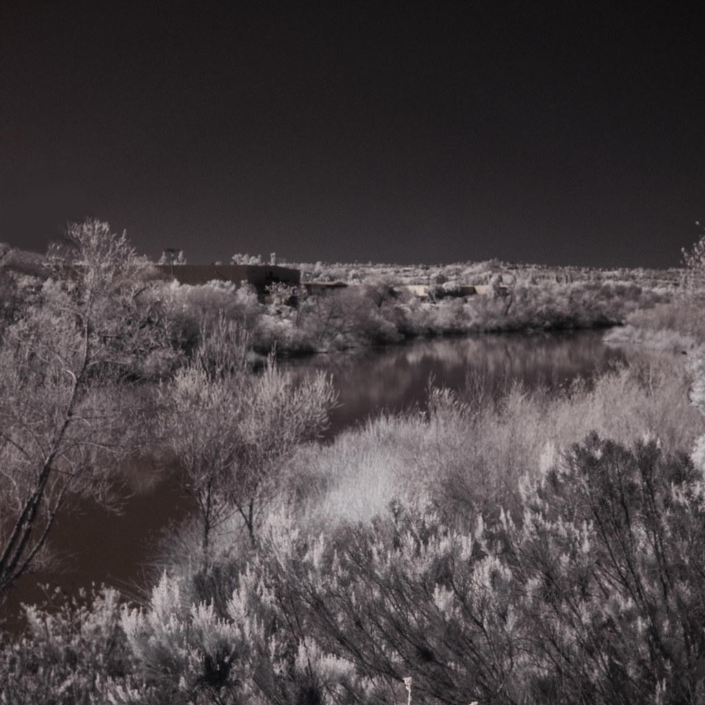
Santee Lakes on the Winter Solstice With Sun Flare - Infrared
california white slr birds fauna photography wings nikon image sandiego wildlife stock flight dslr egret birdwatching wading snowyegret missiontrails singlelensreflex bif dx birdwatcher naturephotography shorebirds d60 egrettathula regionalpark naturesfinest lakemurray birdphotography wildlifenorthamerica wildlifephotography inspiredbylove wildlifephotos natureimages specanimal avianexcellence windsandandwater brillianteyejewel thewonderfulworldofbirds nickchill neighborhoodnw09
Delicate Dance (Egretta Thula), Snowy Egret
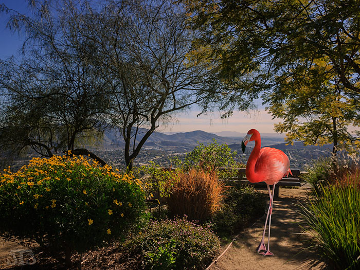
flamingo trees plants park view mountains mounthelix lamesa sandiego california usa composite
Fiona Flamingo
california trees panorama usa cloud mountain lake big sandiego lakeside crow lindolake
Mega Cloud
park trees sky nature water highcontrast surreal infrared soe otherworldly santeelakes platinumheartaward
Saturday In The Park - Infrared
california mountain night rocks view unitedstates suburban boulders vista santee bluerock pwpartlycloudy
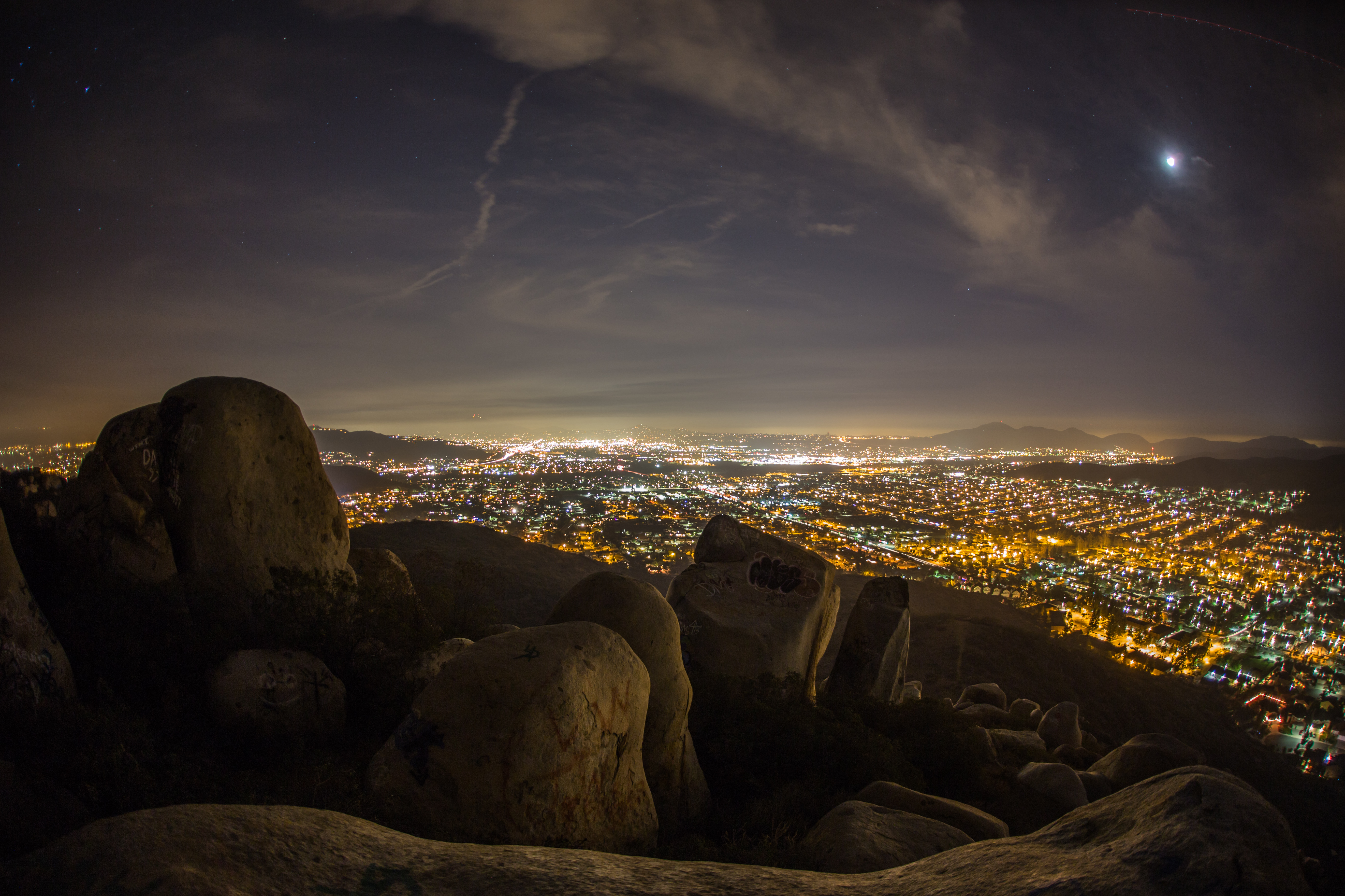
Rocks atop a mountain at night.
eucalyptushills lakeside ir infrared infraredphotography convertedinfraredcamera creel water clouds vegetation
Oak Creek Running Across Oak Creek Drive IR
moon night evening sandiego dusk sunday 500views ifixfones fredquezada
Sunday Night
trees reflections nature santeelakes infrared infraredphotography ir convertedinfraredcamera naturalbeauty clouds tree water lake highcontrast
Trees Of Santee Lakes On A Morning With Clouds
deer deergrazing damonlane damonlanecountypark mthelix mounthelix fuertefarms metalart
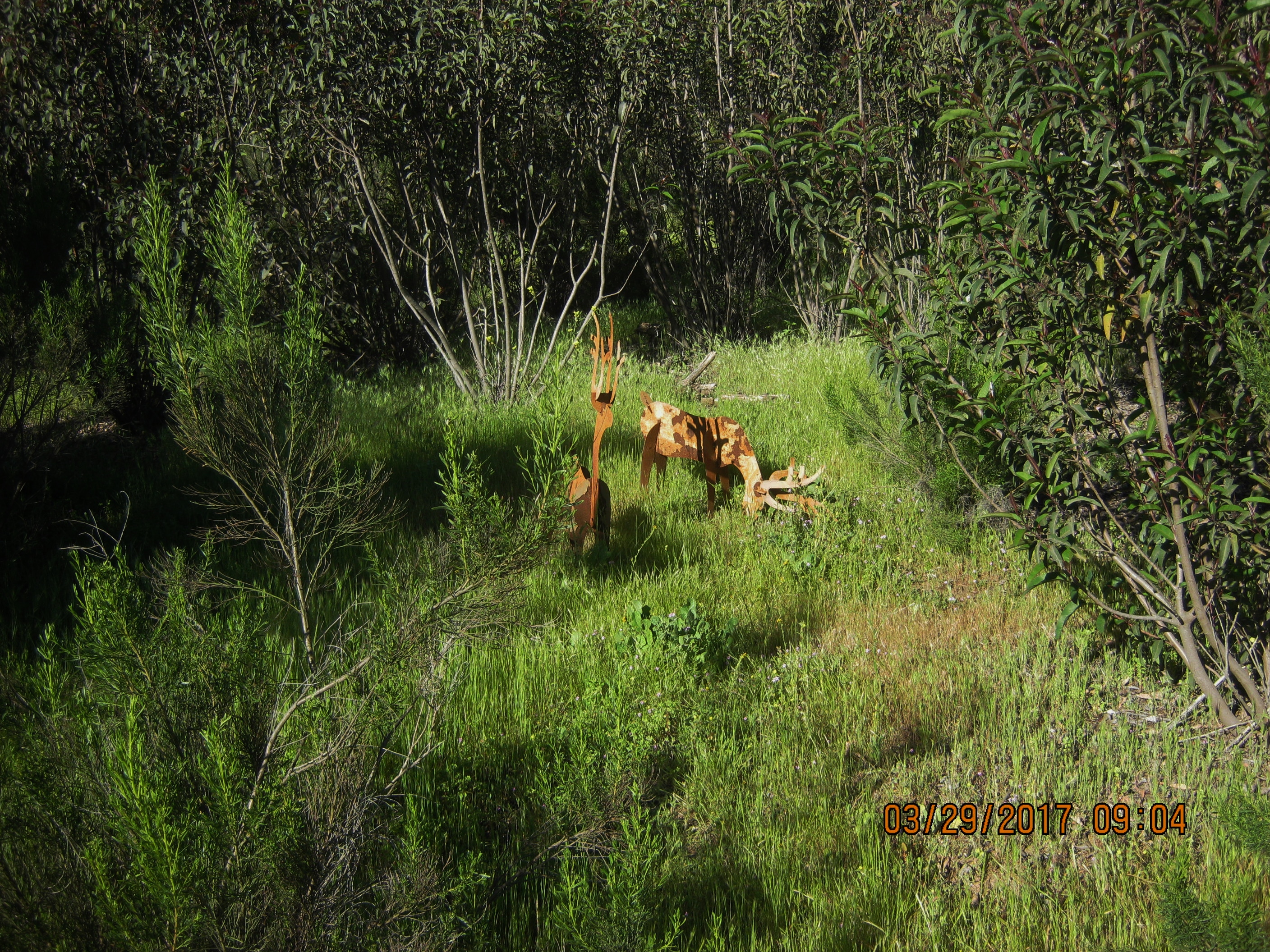
Deer may safely graze in Damon Lane Co. Park 3-29-17 (FOR A CLOSER VIEW RIGHT CLICK ON THE IMAGE)
colorphotoaward
backyard view
green classic truck sandiego dodge 500views ram oldie powertrain ifixfones fredquezada
Dodge Power Train
morning sun mountain nature sunrise landscape view sandiego solstice wintersolstice cowlesmountain doublesunrise landscapephotography
Purple Mountains
california usa mountains water clouds sandiego lakeside shrubs lakejennings
Lake Jennings
sunset favorite photoshop canon view explore page 7d comment lightroom
Mt. Helix
california sunrise landscape dawn sandiego hiking east hdr sancarlos cowlesmountain
Cowles Sunrise
color bird texture nature feather southerncalifornia naturalbeauty sharpness santeelakes
Color and Textures
california panorama mountain view unitedstates vista santee bluerock
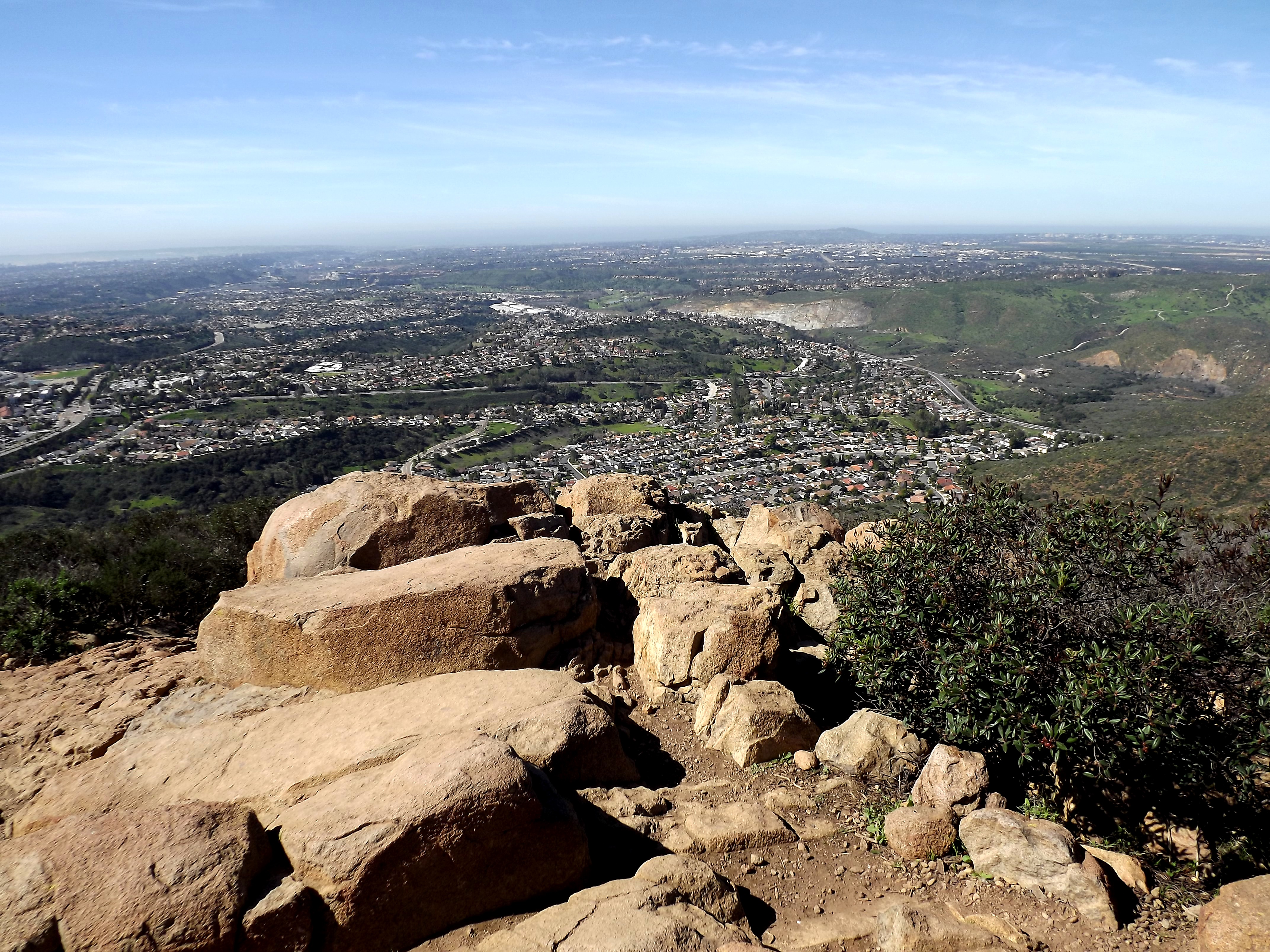
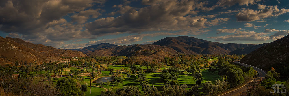
Another panoramic view from atop Blue Rock in Santee
california trees usa mountain lake clouds geese babies sandiego lakeside adults lindolake
Family Time
blue sky beautiful clouds wonderful big awesome humid billowing
Clouds from Work on 8/25/08-My favorite of the bunch
lindolake lindolake2 ir infrared infraredphotography convertedinfraredcamera reflections trees foliage water sky lakeside nature naturalbeauty surreal composition infrarouge
Tree Reflections At Lindo Lake #2
santeelakes trees reflections sky ir infrared infraredphotography composition convertedinfraredcamera highcontrast
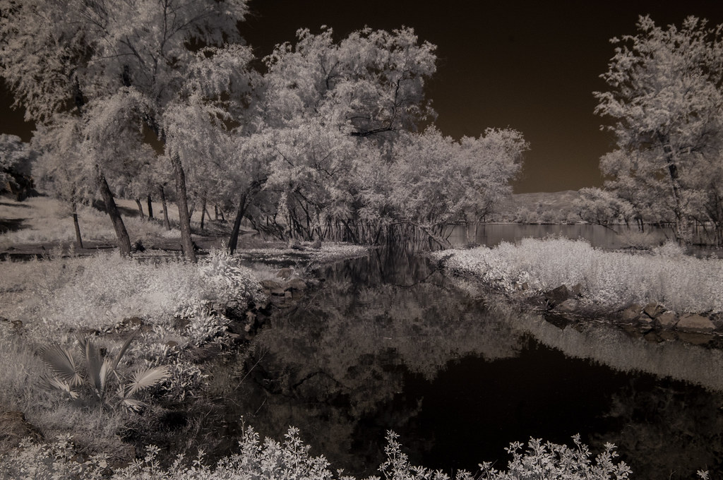
Tree Reflections At Santee Lakes
prmtrtrl hike tags shphrdpndlp northshepherdcanyonlooptrail shepherdpondlooptrail photoouting trail events category nscl 20130402missiontrails perimetertrail mountain sandiego 92071 unitedstates sycttvlly suycottvalleytrail
PEDB20130402-056.jpg
oakcreek eucalyptushills creek water vegetation sky clouds convertedinfraredcamera ir infrared infraredphotography nature
Oak Creek Flowing South
2017 california sandiego hiking cowlesmountain
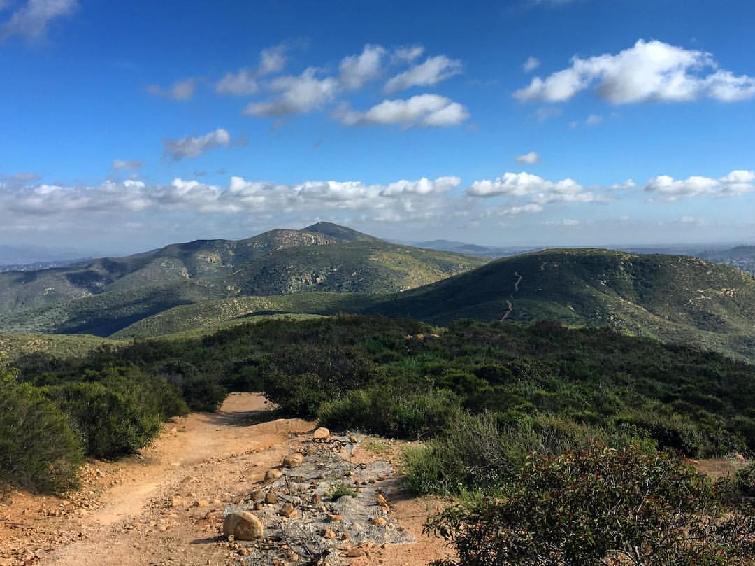
looking sw from summit
ir infrared infraredphotography convertedinfraredcamera surreal sandiegoriver landscape nature naturalbeauty naturephotography reflections
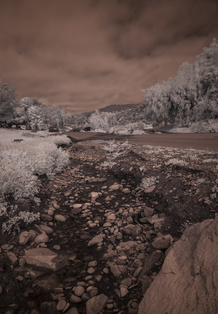
San Diego River - IR
lkmrry hike 20170110lakemurray lake cowlesmountain water cloud reflection plant events category commonreed photoouting notripod tags sandiego 92119 unitedstates
PEDB20170110-026-3.jpg
20170404missiontrailspark plant tags tree events visitorcenterlooptrail southfortunamountain hike notripod mountain sandiego 92071 unitedstates
PEDB20170404-077.jpg
santeelakes ir infrared infraredphotography nature clouds reflections trees highcontrast convertedinfraredcamera water sky
Reflecting On Santee Lake Number 6
lkmrry hike 20170110lakemurray lake cowlesmountain water cloud reflection plant events category commonreed photoouting notripod tags sandiego 92119 unitedstates
PEDB20170110-026-2.jpg
hdr hike tags photoouting trail events 20160705missiontrails oakcanyontrail category notripod mountain sandiego 92071 unitedstates okcnyn
Oak Canyon Trail - Mission Trails Park
infrared infraredphotography ir trees vegetation convertedinfraredcamera highcontrast water sky nature lindolake lakeside infrarouge
Trees And Vegetation at Lindo Lake
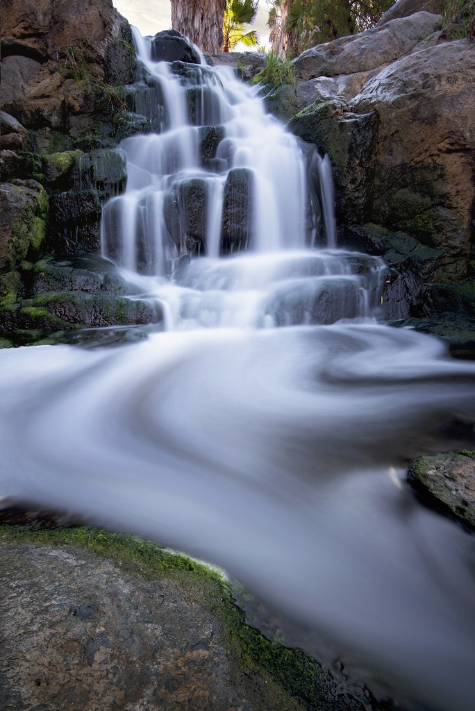
water river flow waterfall rocks stream sandiego falls adobe fountaingrass
A d o b e F a l l s
grass kwaaypaaypeak hike tags southfortunamountain oakgrovelooptrail pylespeak photoouting gorge events category 20170321missiontrailspark field notripod mountain sandiego 92071 unitedstates
PEDB20170321-012.jpg
california sky clouds sunrise silhouettes atmosphere lakeside
Lakeside Sky on Fire - Explored
park grass mushrooms sandiego elmonte
Magic Mushrooms
california trees usa mountains grass club clouds countryside sandiego resort golfcourse dehesa singinghills
Singing Hills
hike tags river 20160126missiontrailspark water oakcanyontrail events category reflection panoramio notripod photoouting sandiego 92071 unitedstates okcnyn
Oak Canyon Trail - Mission Trails Park
instagramapp square squareformat iphoneography uploaded:by=instagram
There are more mountains in our future.