Elevation of Carlton Hills Boulevard, Carlton Hills Blvd, Santee, CA, USA
Location: United States > California > San Diego County > Santee >
Longitude: -116.99798
Latitude: 32.8499103
Elevation: 117m / 384feet
Barometric Pressure: 100KPa
Elevation Map:
Satellite Map:
Related Photos:

San Diego, what’s your sign?

El Cajon to the third power!

Trail or Traffic

Santee Lakes on the Winter Solstice With Sun Flare - Infrared
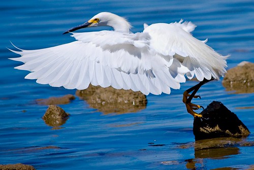
Delicate Dance (Egretta Thula), Snowy Egret

Mega Cloud

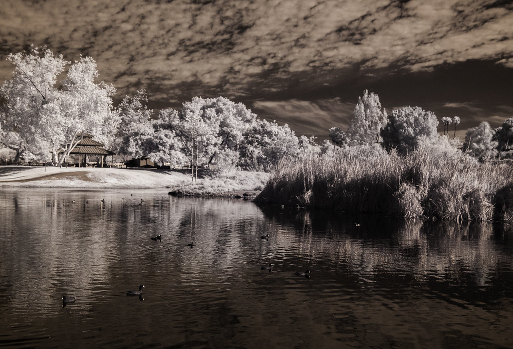
Saturday In The Park - Infrared
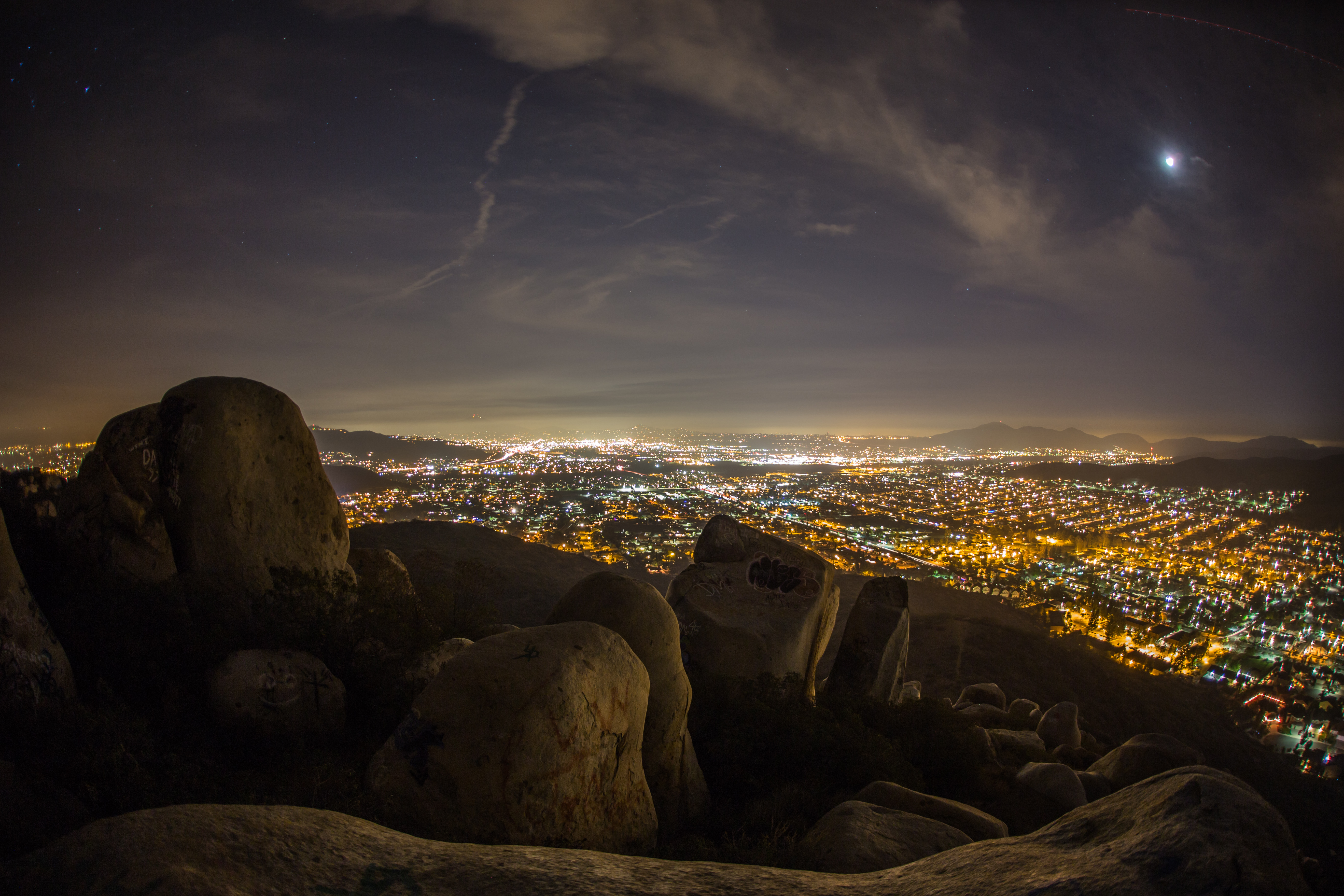
Rocks atop a mountain at night.
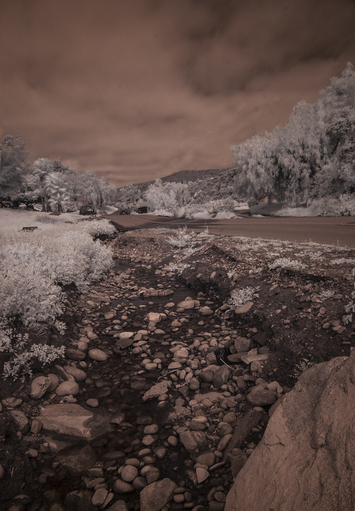
Oak Creek Running Across Oak Creek Drive IR

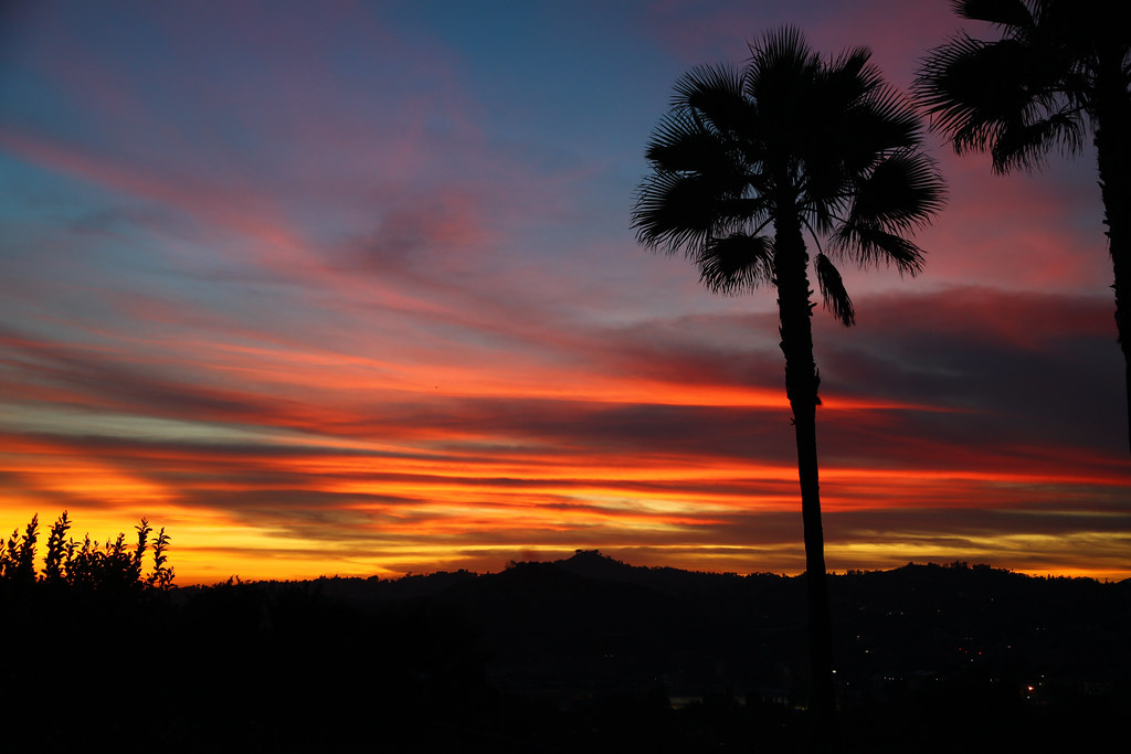
Sunday Night
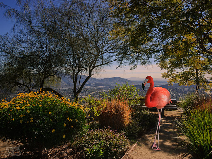
Fiona Flamingo
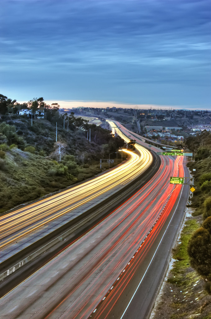
Northbound 805

Trees Of Santee Lakes On A Morning With Clouds
backyard view
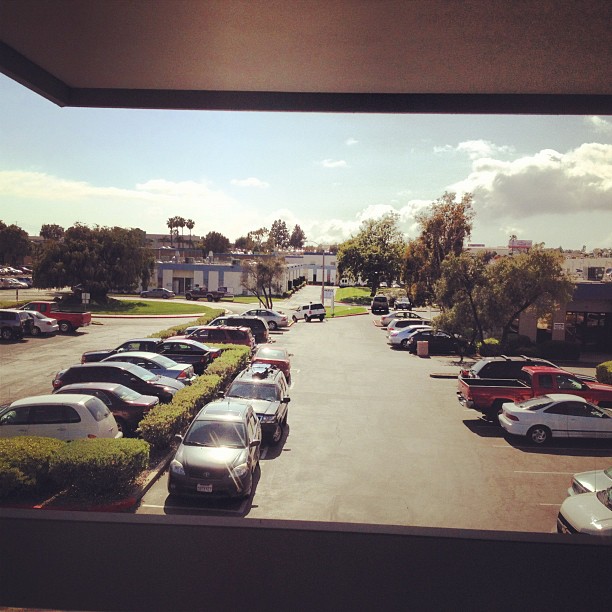
The completely unglamorous skyline/view from our studio. #photoadaymay
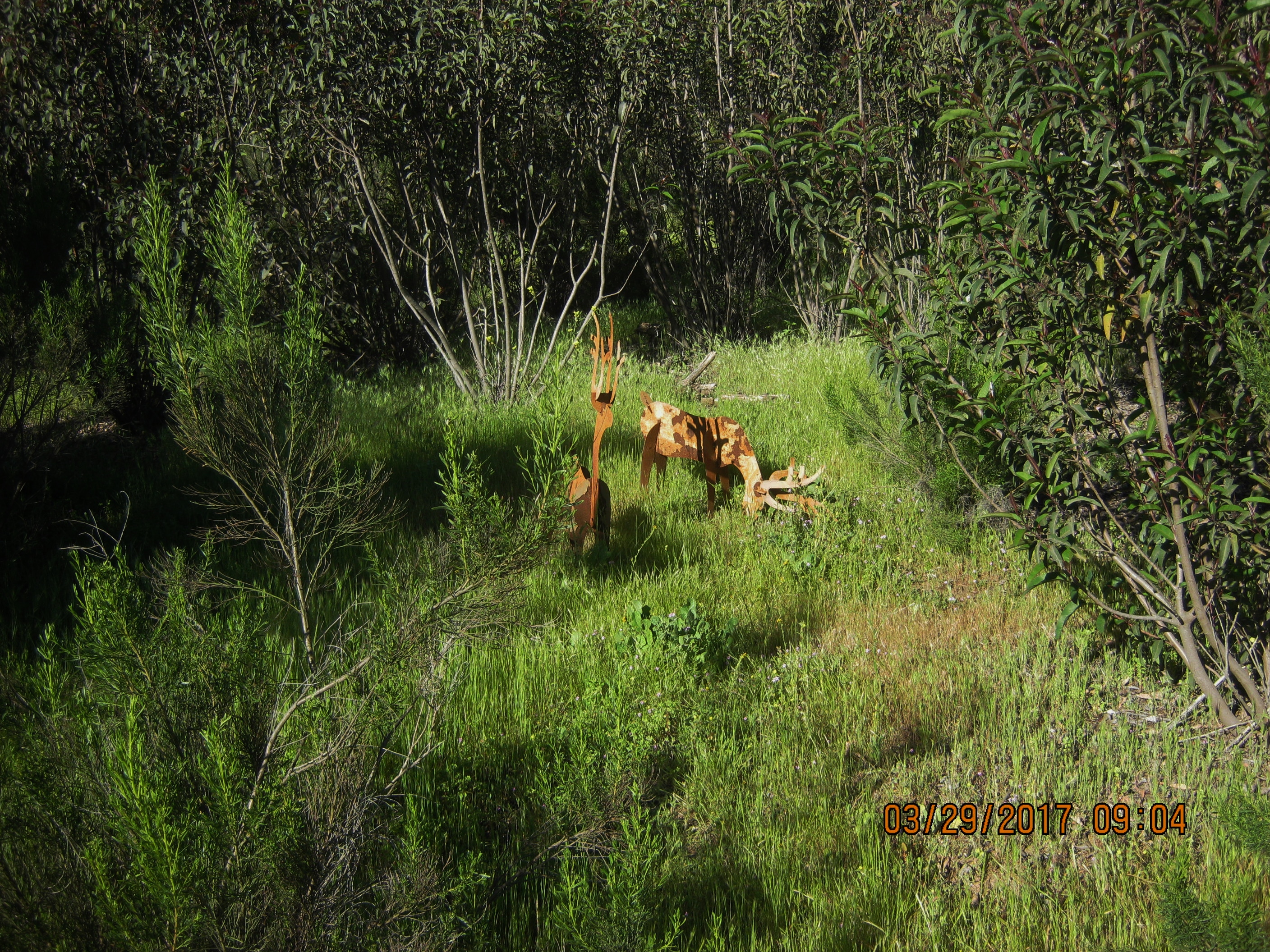
Deer may safely graze in Damon Lane Co. Park 3-29-17 (FOR A CLOSER VIEW RIGHT CLICK ON THE IMAGE)

Dodge Power Train
Purple Mountains
Lake Jennings

Mt. Helix

CH-53

Oak Canyon Trail - Mission Trails Park

Oak Canyon Trail - Mission Trails Park
There are more mountains in our future.

Tree Reflections At Lindo Lake #2
On The Right Path

Tree Reflections At Santee Lakes

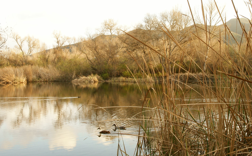
Oak Creek Flowing South

Oak Canyon Trail - Mission Trails Park

PEDB20130402-056.jpg

PEDB20140610-032.jpg
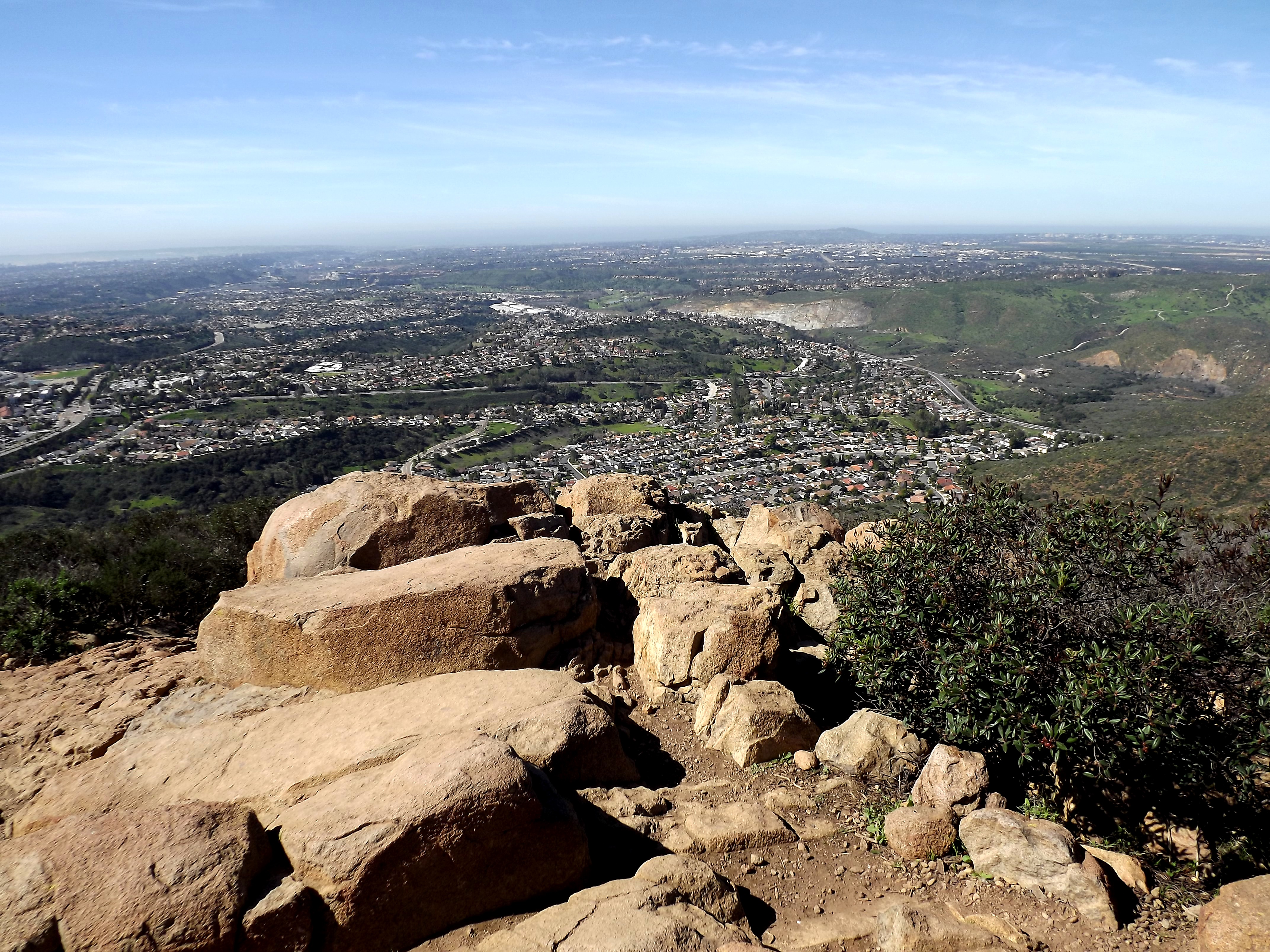
looking sw from summit
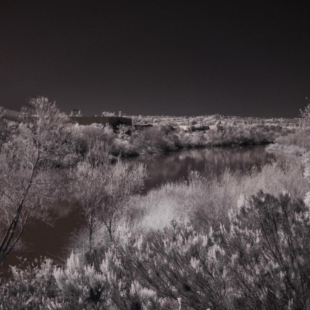
San Diego River - IR

Oak Canyon Trail - Mission Trails Park

PEDB20170110-026-3.jpg
Coots at Santee Lakes
Kumeyaay Lake in Mission Trails

Reflecting On Santee Lake Number 6

PEDB20130326-014.jpg

PEDB20170110-026-2.jpg
Topographic Map of Carlton Hills Boulevard, Carlton Hills Blvd, Santee, CA, USA
Find elevation by address:

Places near Carlton Hills Boulevard, Carlton Hills Blvd, Santee, CA, USA:
Carlton Hills
Willowgrove Avenue
9970 Pebble Beach Dr
9324 Las Lomas Dr
8746 Glen Vista Way
10160 Pebble Beach Dr
10170 Pebble Beach Dr
Santee, CA, USA
9132 Inverness Rd
9934 Pratt Ct
10002 El Nopal
50 Woodvale Dr, Santee, CA, USA
9246 Todos Santos Dr
10134 Pinewood View
Santee
2058 Estela Dr
1940 Hacienda Dr
10445 Mast Blvd
Hills Lake Drive
8941 Magnolia Ave
Recent Searches:
- Elevation of Corso Fratelli Cairoli, 35, Macerata MC, Italy
- Elevation of Tallevast Rd, Sarasota, FL, USA
- Elevation of 4th St E, Sonoma, CA, USA
- Elevation of Black Hollow Rd, Pennsdale, PA, USA
- Elevation of Oakland Ave, Williamsport, PA, USA
- Elevation of Pedrógão Grande, Portugal
- Elevation of Klee Dr, Martinsburg, WV, USA
- Elevation of Via Roma, Pieranica CR, Italy
- Elevation of Tavkvetili Mountain, Georgia
- Elevation of Hartfords Bluff Cir, Mt Pleasant, SC, USA