Elevation of Sasabe, AZ, USA
Location: United States > Arizona > Pima County >
Longitude: -111.54205
Latitude: 31.4887016
Elevation: 1078m / 3537feet
Barometric Pressure: 89KPa
Elevation Map:
Satellite Map:
Related Photos:
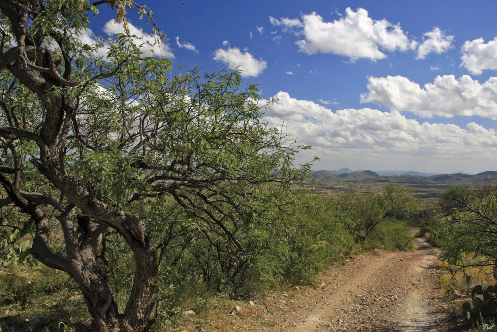
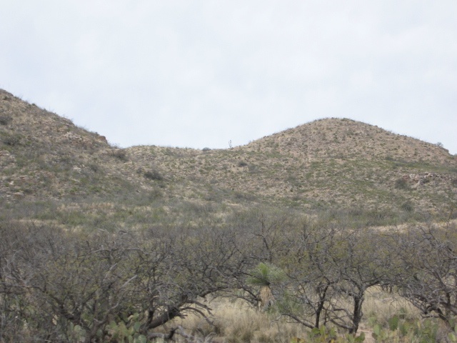
Desert in September

Ruins at the Trading Post

Presumido Store Ruins

El Sasabe
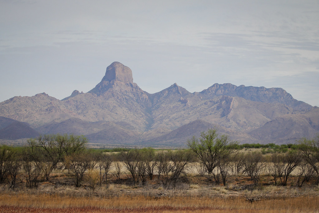
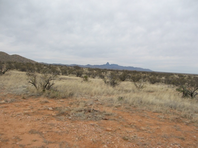
Buenos Aires Vista
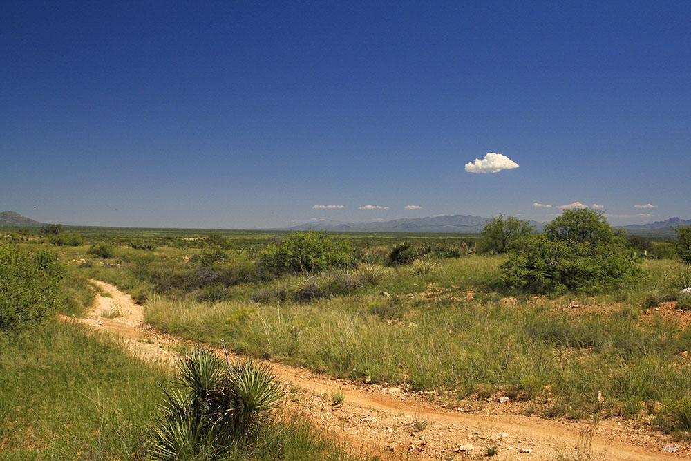
Desert Highway

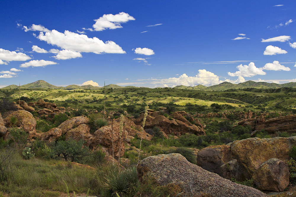
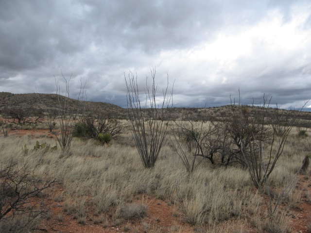
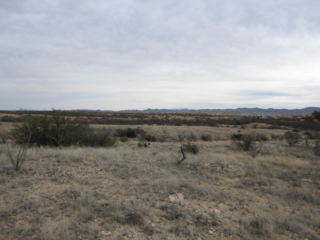
Green Desert
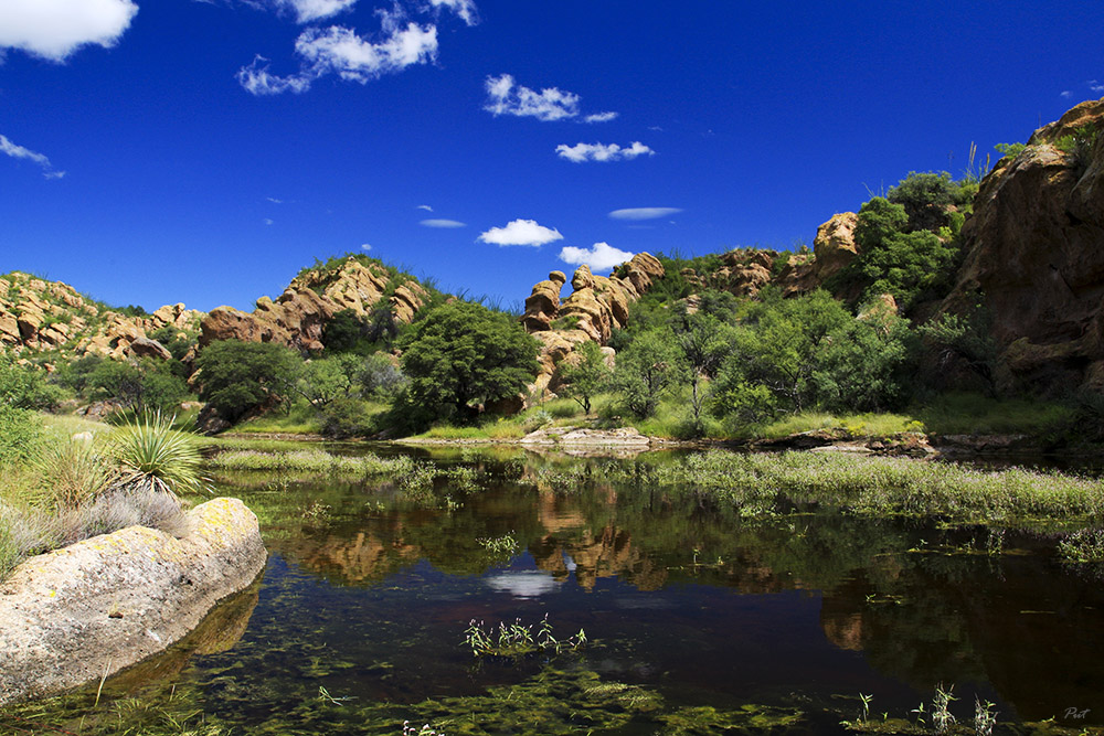
Sonoran Oasis
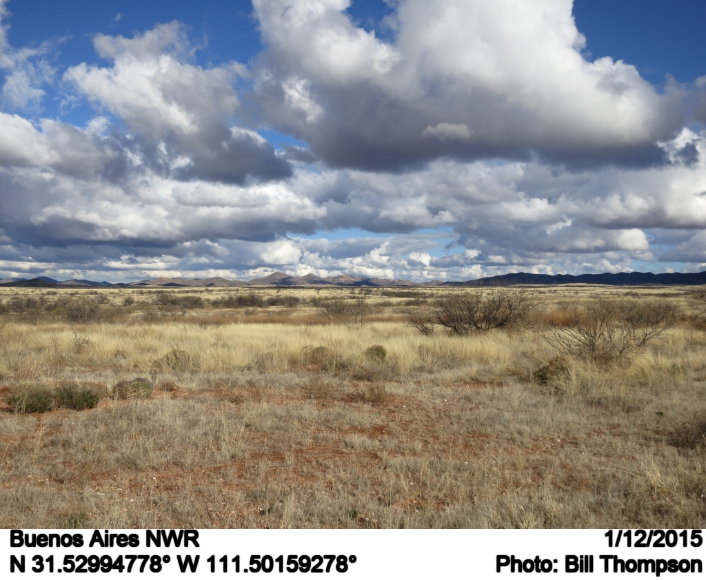
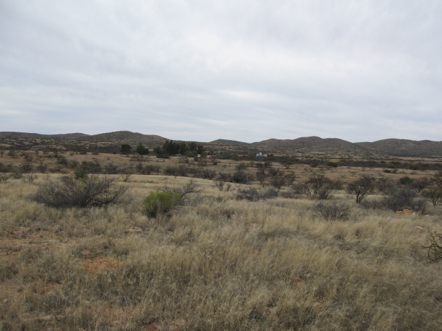
Buenos Aires NWR
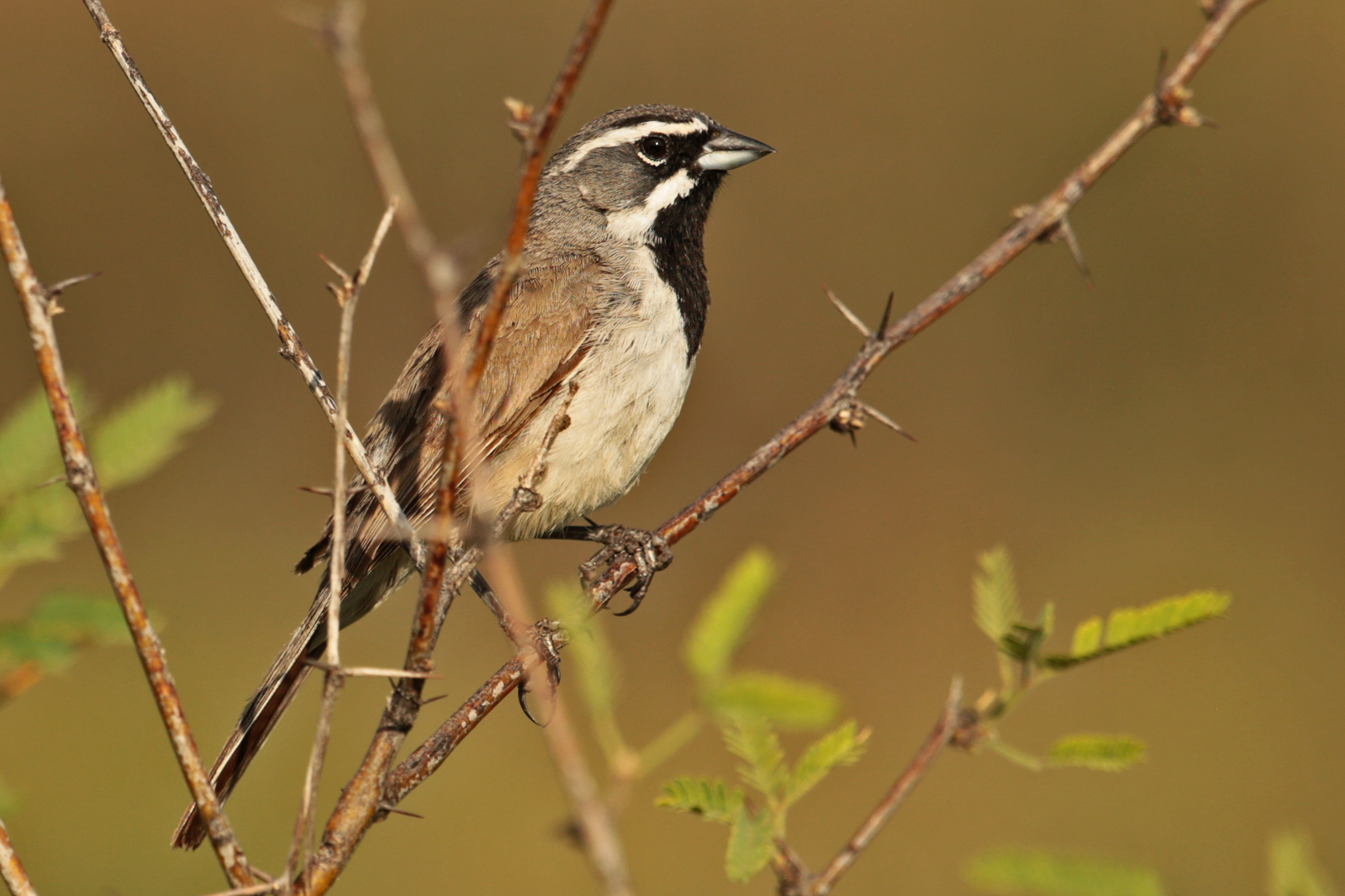
Black-throated Sparrow
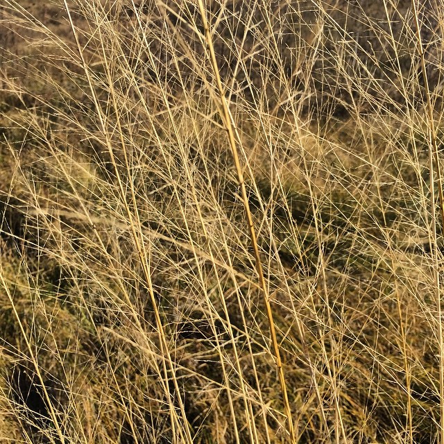
Grasses in the wind.
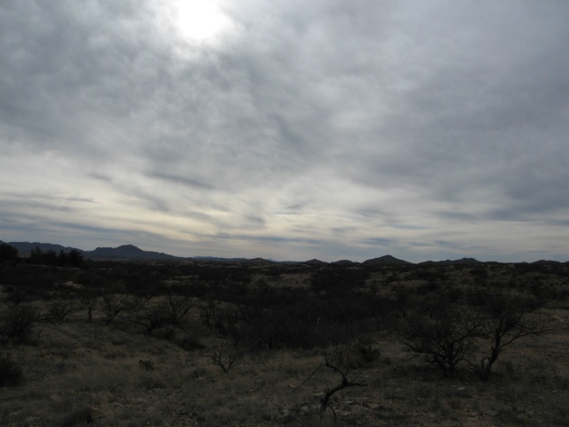
Cloud Play
Buenos Aires NWR
IMG_1208.JPG

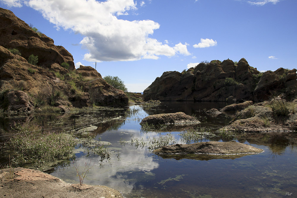
Aguirre Lake, Buenos Aires National Wildlife Refuge, Arizona
IMG_1165.JPG
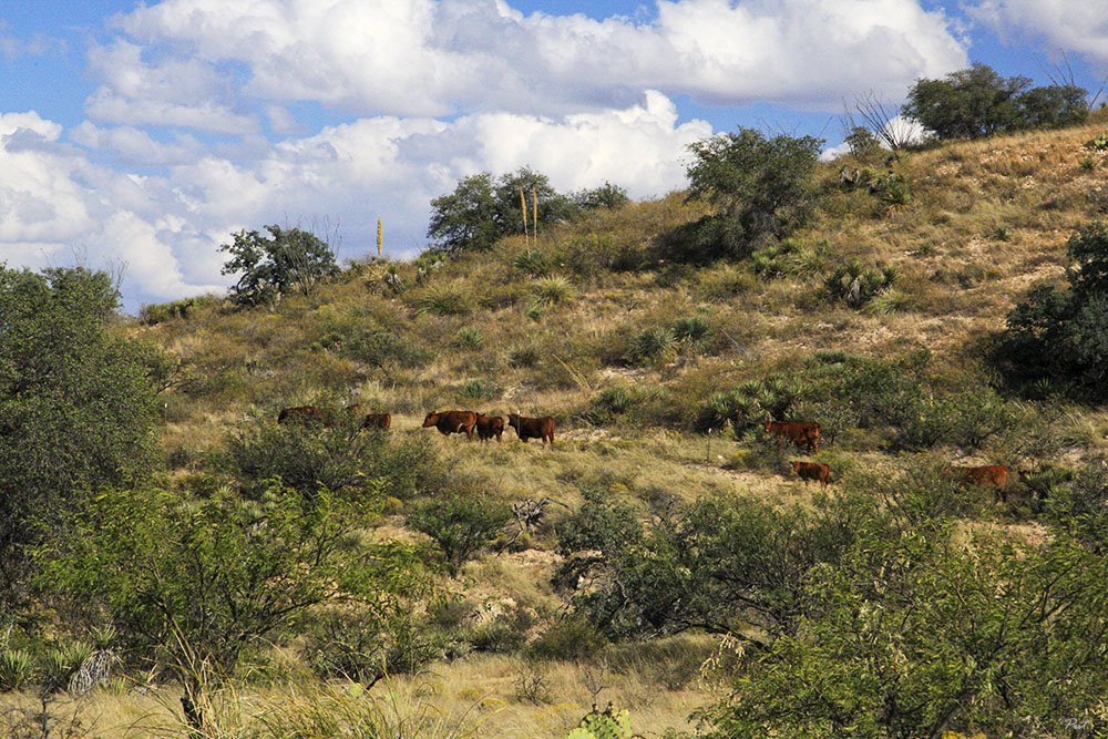
Here's the Beef

IMG_1167.JPG
IMG_1170.JPG
IMG_1163.JPG
IMG_1176.JPG
IMG_1179.JPG
SE Arizona 2014
Topographic Map of Sasabe, AZ, USA
Find elevation by address:

Places in Sasabe, AZ, USA:
Places near Sasabe, AZ, USA:
37257 S Sasabe Rd
S Sasabe Hwy, Sasabe, AZ, USA
Buenos Aires National Wildlife Refuge Admin Building And Visitor Contact Station
Arivaca
17200 2nd St
38000 S Wedge Ford Rd
16670 W Arivaca Rd
16450 W Arivaca Rd
15300 W Jalisco Rd
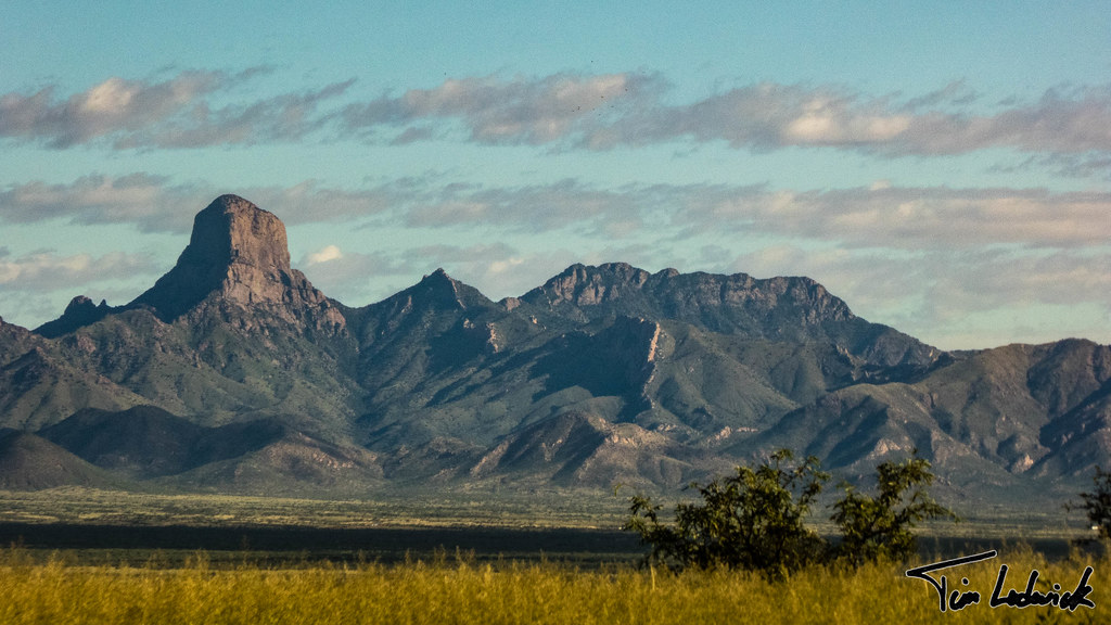
Baboquivari Mountains
33105 S Moyza Ranch Rd
Sonoran Desert
Caballo Loco Ranch Llc
15187 W Dolton Ave
Diamond Bell Ranch
Sells
Cowlic
14060 Canelo Ave #269
14060 Canelo Ave #269
14060 Canelo Ave #269
Recent Searches:
- Elevation of Corso Fratelli Cairoli, 35, Macerata MC, Italy
- Elevation of Tallevast Rd, Sarasota, FL, USA
- Elevation of 4th St E, Sonoma, CA, USA
- Elevation of Black Hollow Rd, Pennsdale, PA, USA
- Elevation of Oakland Ave, Williamsport, PA, USA
- Elevation of Pedrógão Grande, Portugal
- Elevation of Klee Dr, Martinsburg, WV, USA
- Elevation of Via Roma, Pieranica CR, Italy
- Elevation of Tavkvetili Mountain, Georgia
- Elevation of Hartfords Bluff Cir, Mt Pleasant, SC, USA