Elevation of Baboquivari Mountains, Arizona, USA
Location: United States > Arizona > Pima County > Tucson >
Longitude: -111.58183
Latitude: 31.7869607
Elevation: 1801m / 5909feet
Barometric Pressure: 81KPa
Elevation Map:
Satellite Map:
Related Photos:
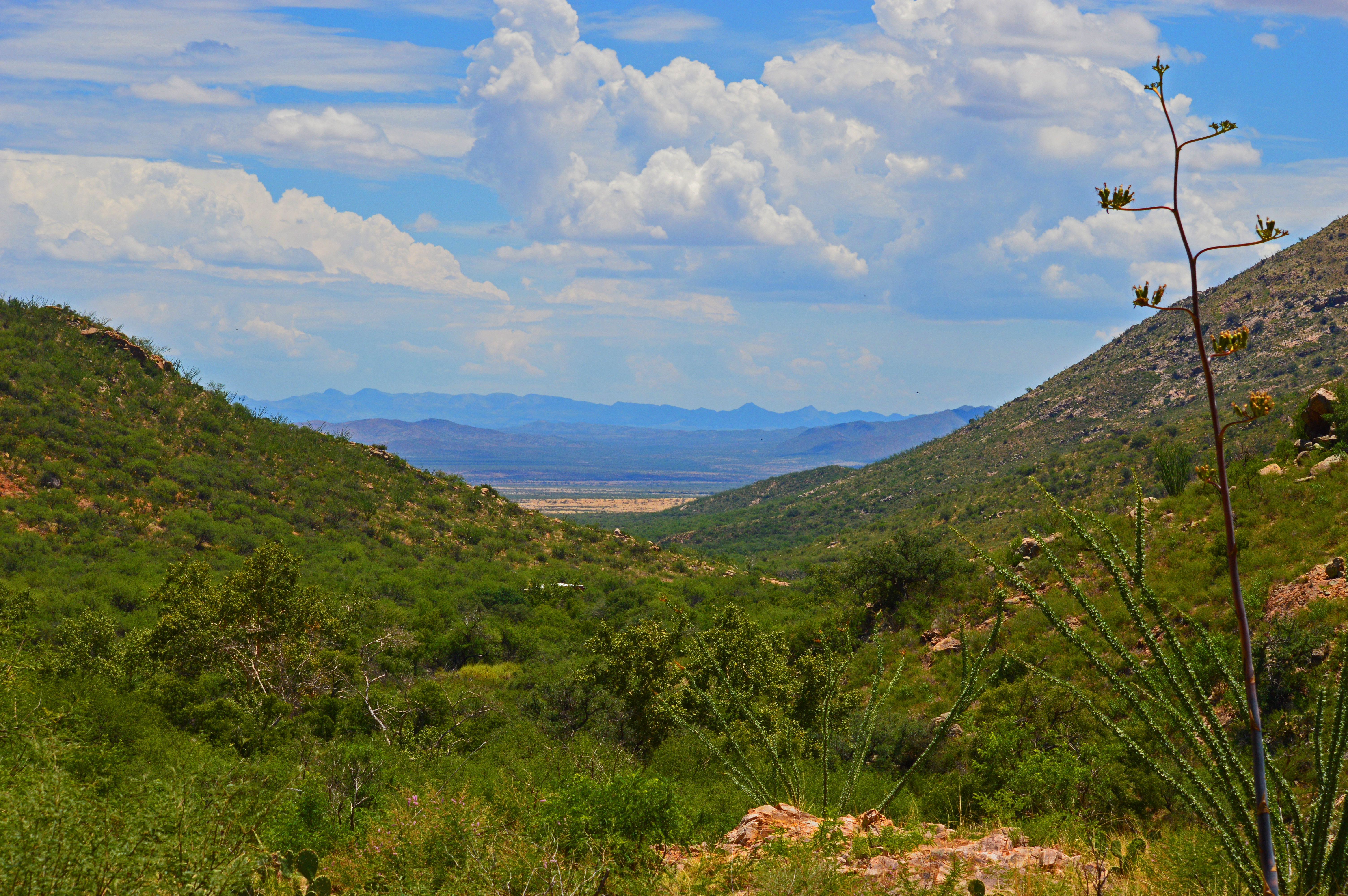
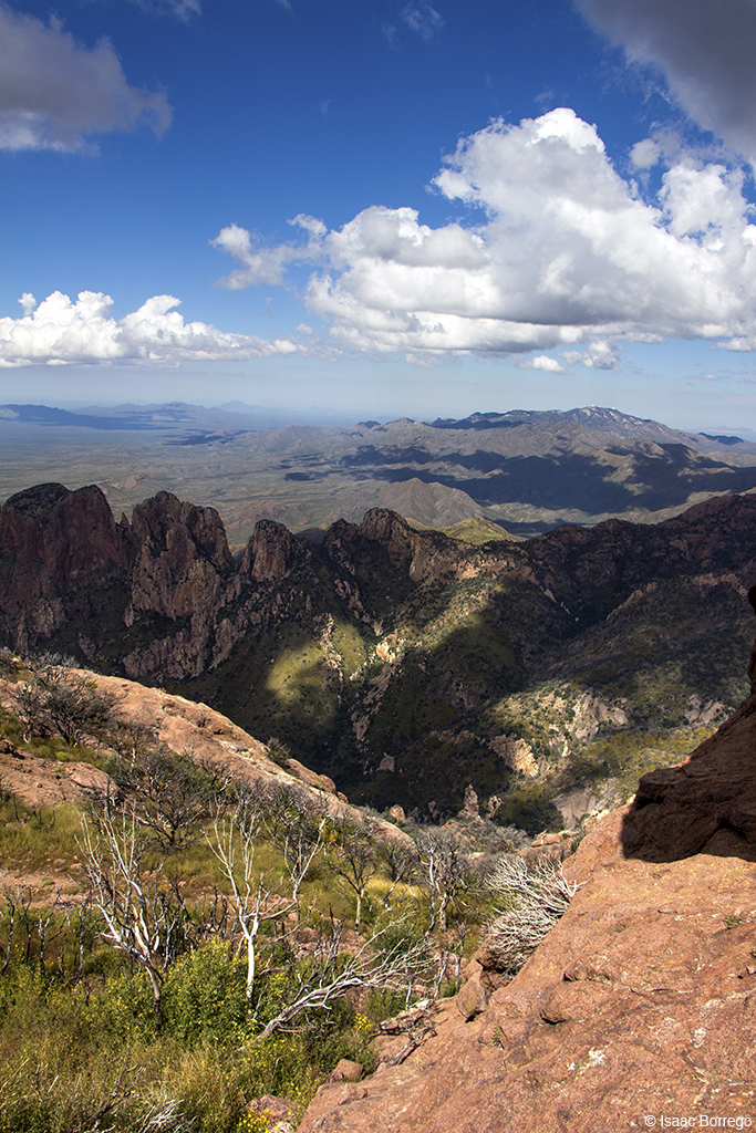
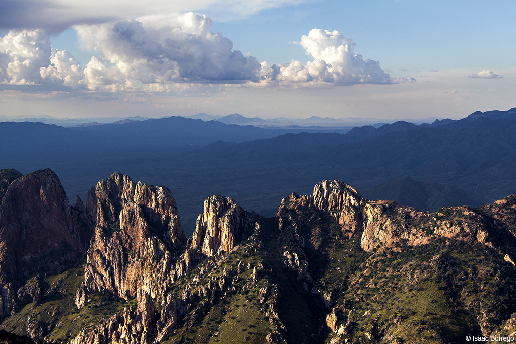
View From Brown Canyon
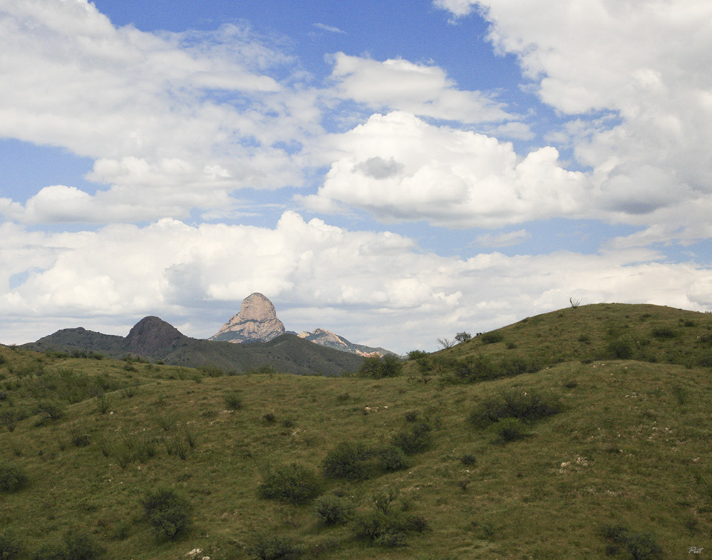
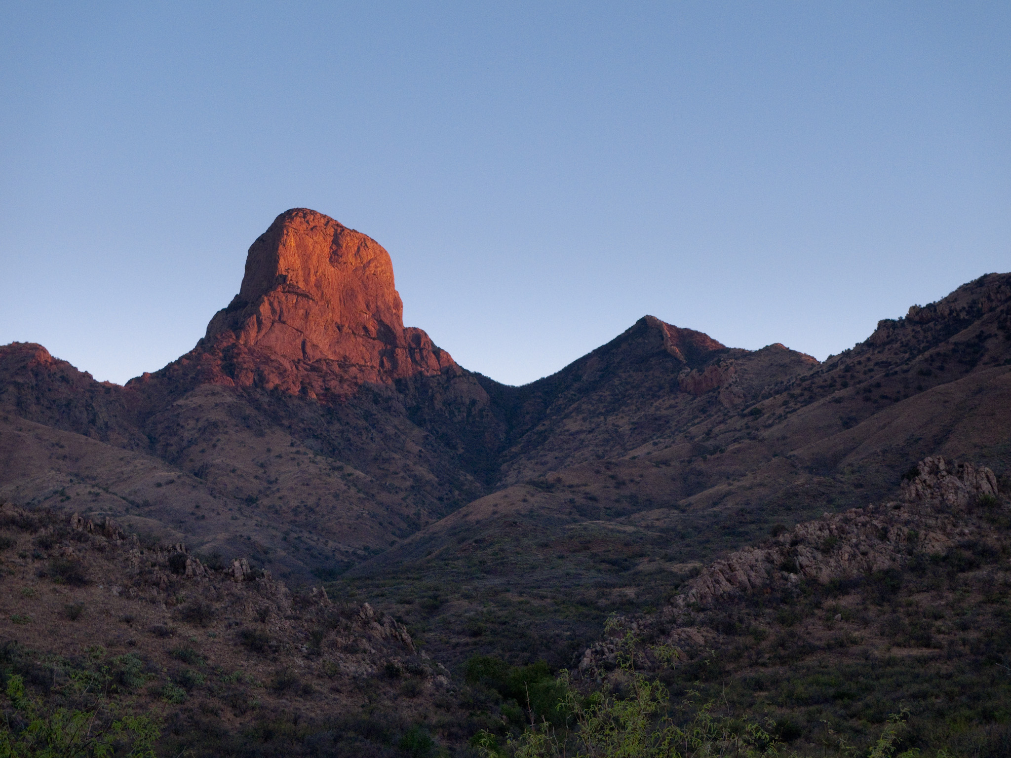
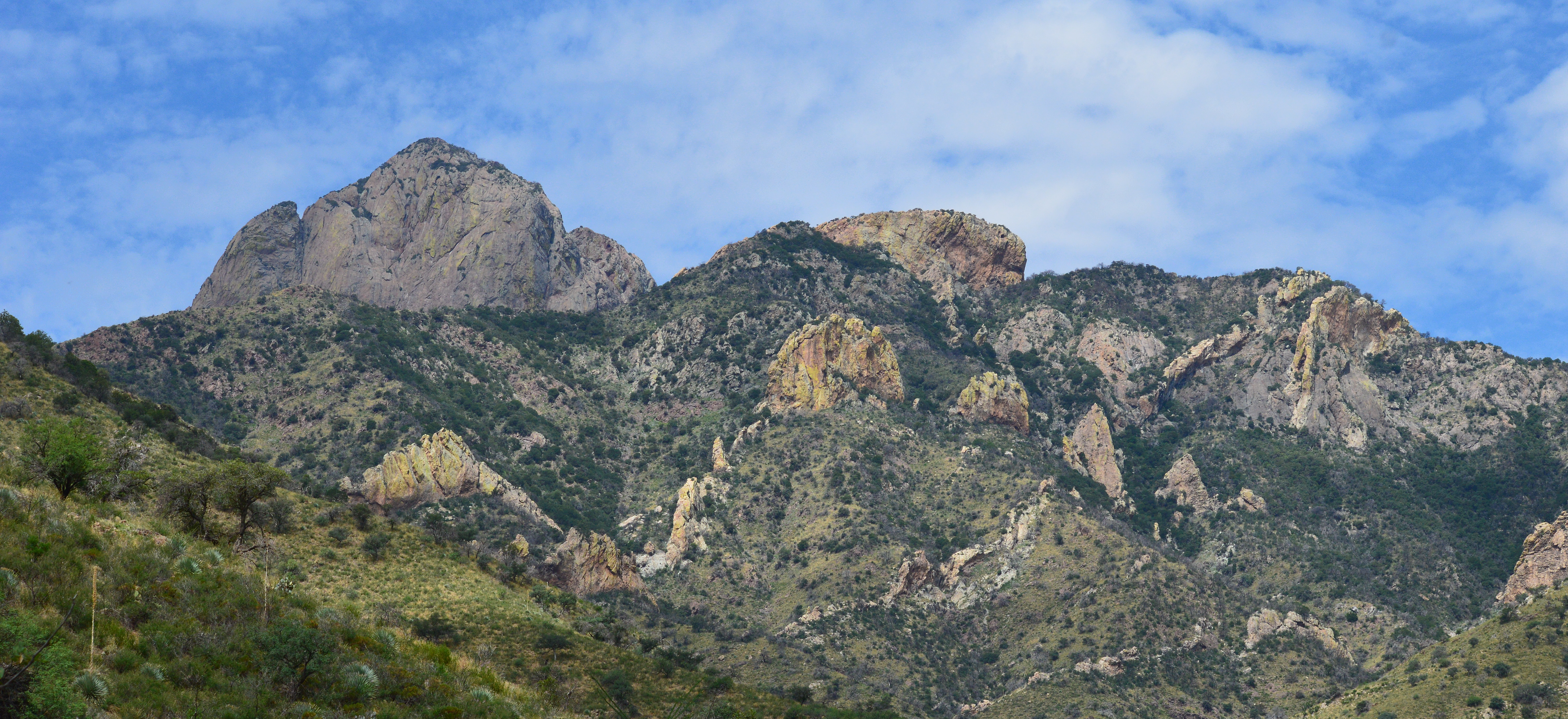
Baboquiveri Peak
Buenos Aires NWR
Buenos Aires NWR
Buenos Aires NWR
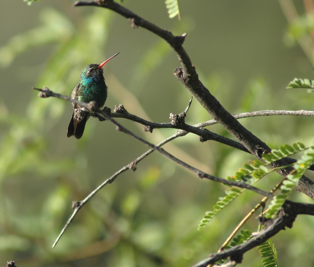
Broad-billed Hummingbird (Cynanthus latirostris)
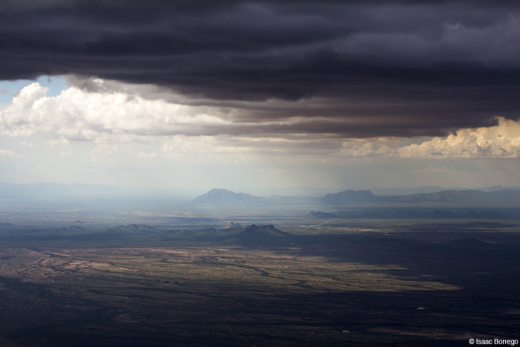
Oncoming Storm
Below the Great Ramp
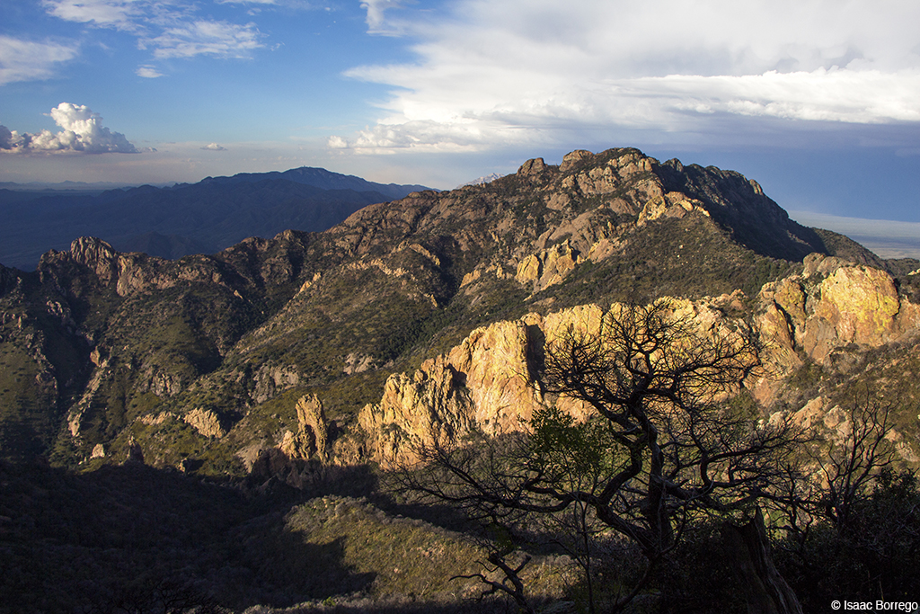
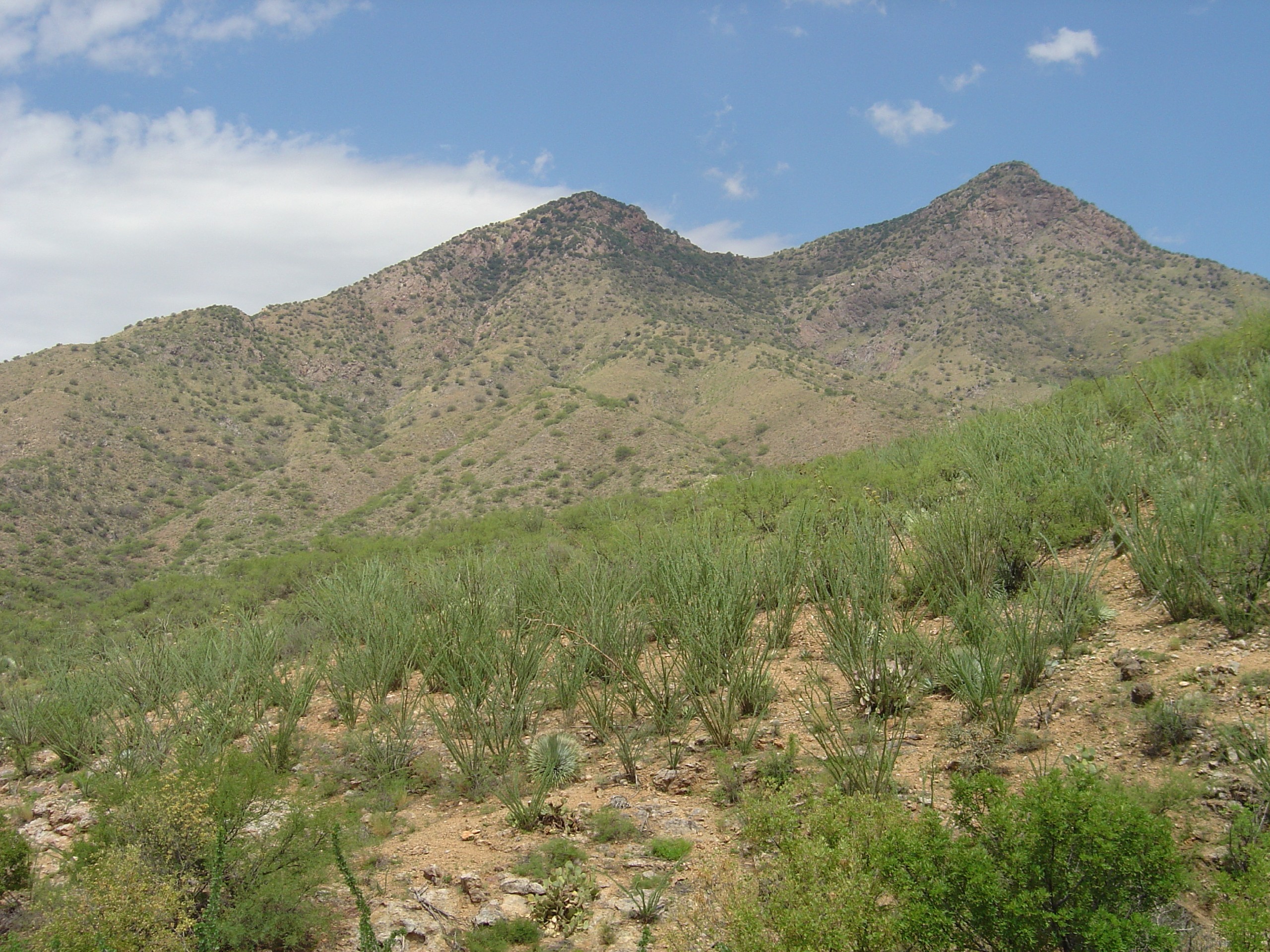
Jagged Ridge
The Storm Relents
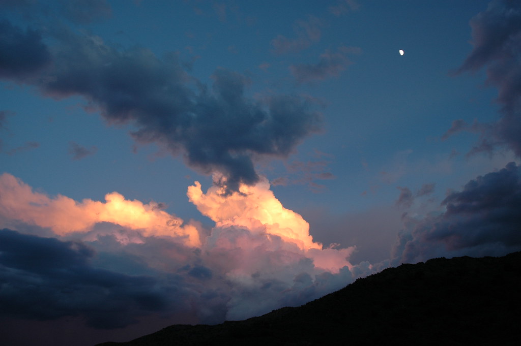
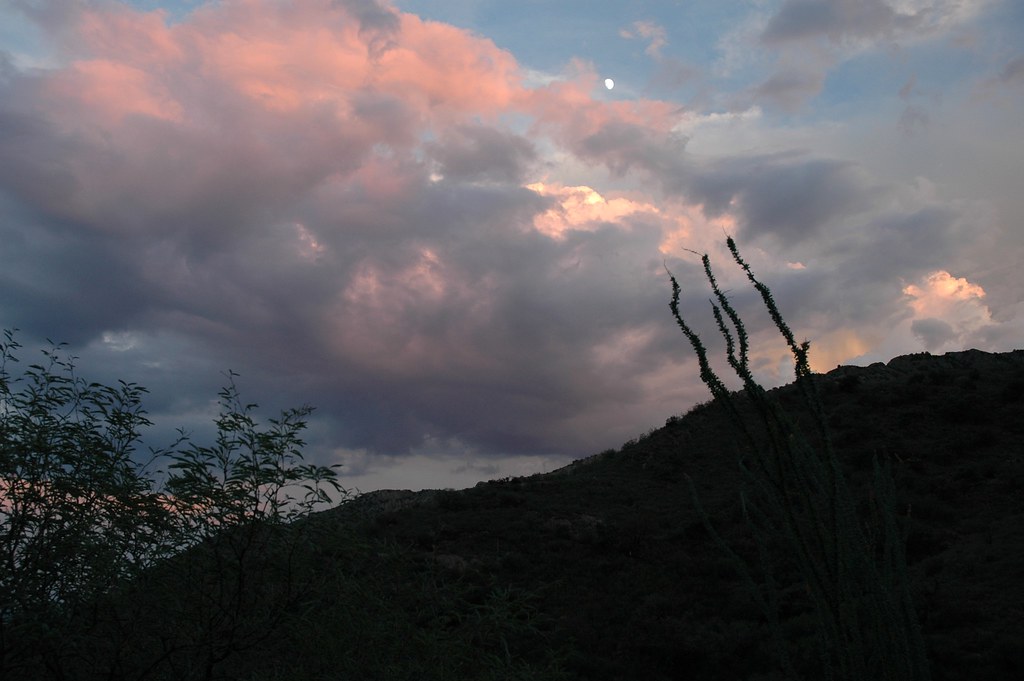
babo at sunrise
Highway 286
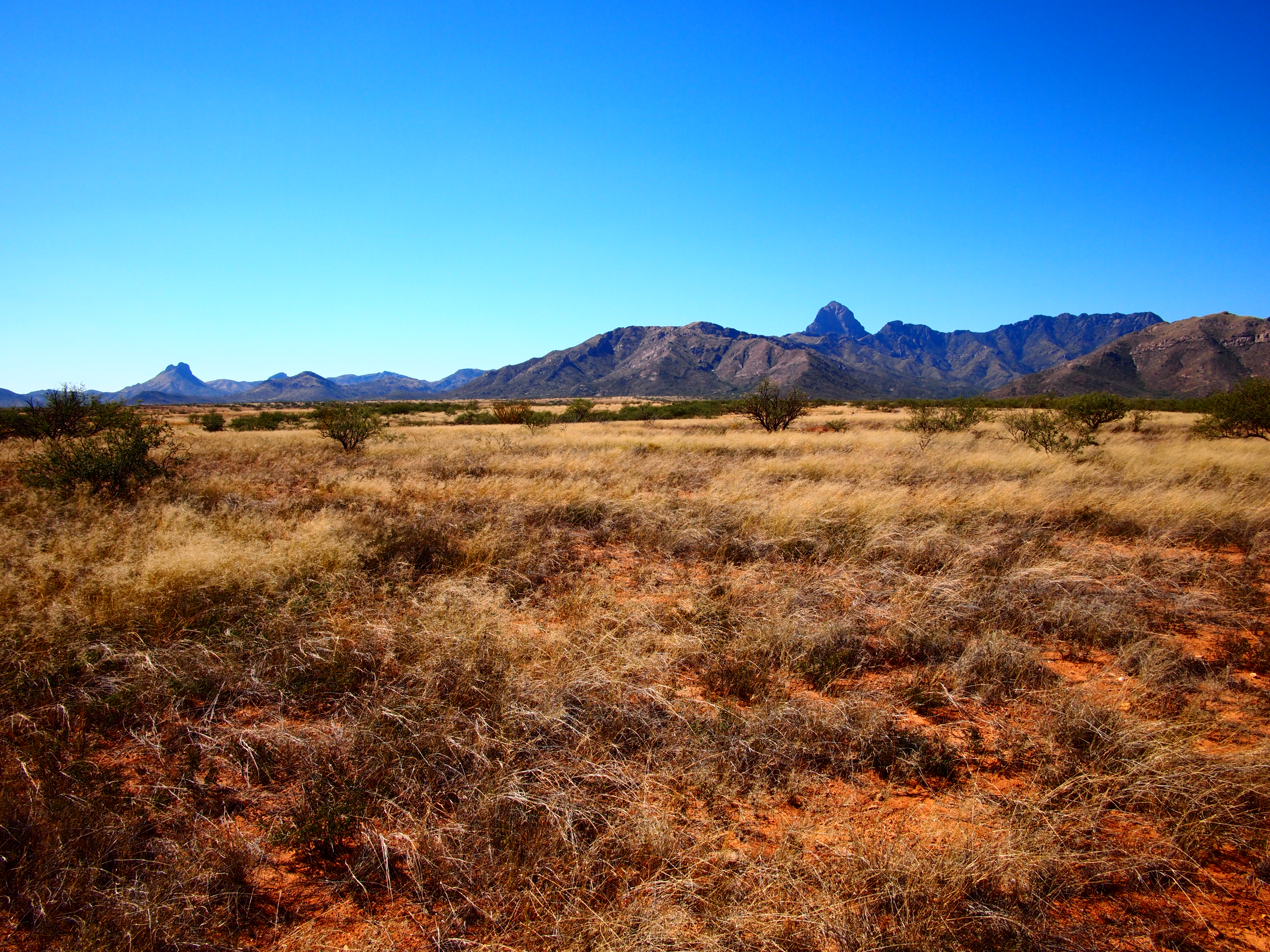
Boboquivari Mountians from Brown Canyon
Highway 286
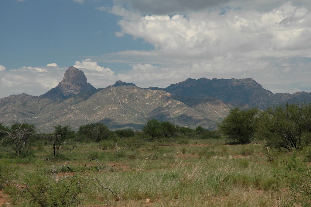
Baboquivari Mountains
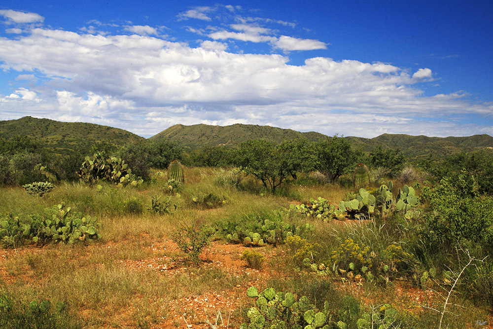
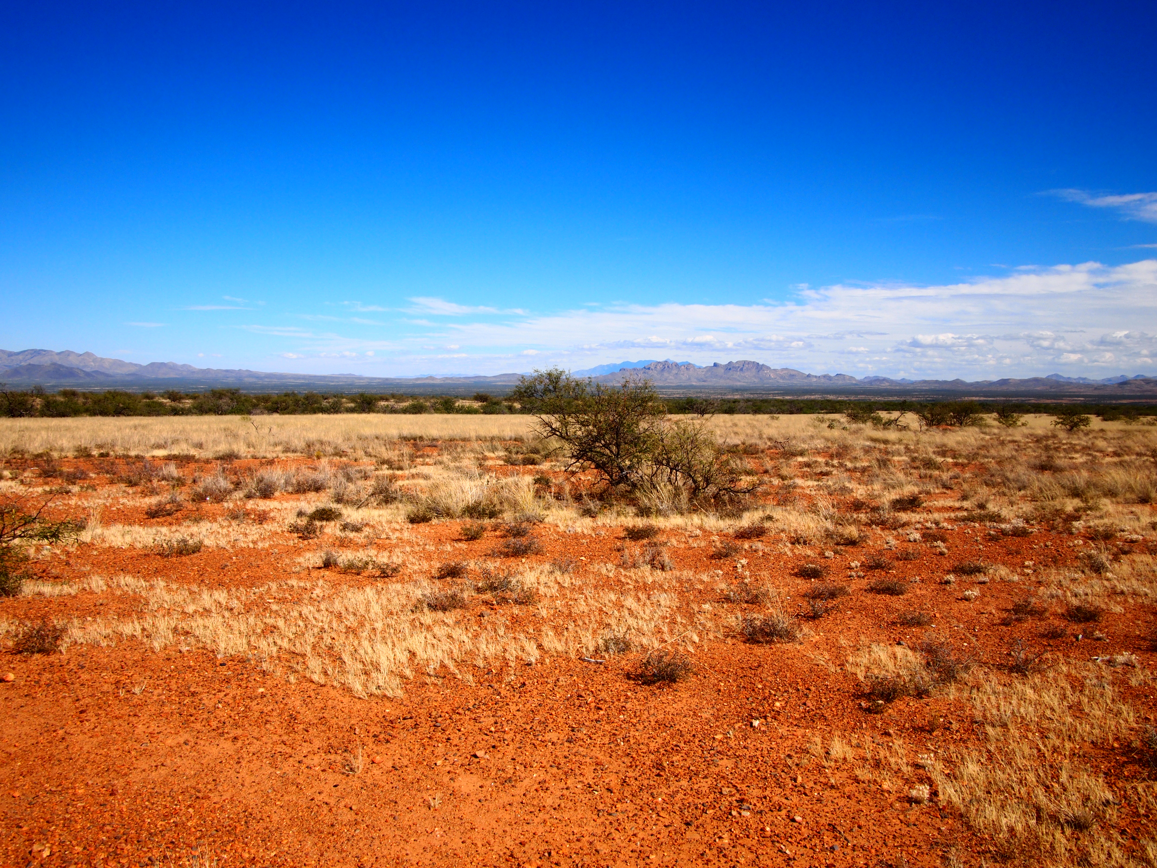
Sonoran Desert
Topographic Map of Baboquivari Mountains, Arizona, USA
Find elevation by address:

Places near Baboquivari Mountains, Arizona, USA:
Buenos Aires National Wildlife Refuge Admin Building And Visitor Contact Station
Sonoran Desert
Pima County
37257 S Sasabe Rd
Sasabe
S Sasabe Hwy, Sasabe, AZ, USA
Caballo Loco Ranch Llc
Sells
16450 W Arivaca Rd
16670 W Arivaca Rd
Arivaca
17200 2nd St
14060 Canelo Ave #269
14060 Canelo Ave #269
14060 Canelo Ave #269
14060 Canelo Ave #269
14060 Canelo Ave #269
14060 Canelo Ave #269
15187 W Dolton Ave
14042 S Poston Pl #262
Recent Searches:
- Elevation of Corso Fratelli Cairoli, 35, Macerata MC, Italy
- Elevation of Tallevast Rd, Sarasota, FL, USA
- Elevation of 4th St E, Sonoma, CA, USA
- Elevation of Black Hollow Rd, Pennsdale, PA, USA
- Elevation of Oakland Ave, Williamsport, PA, USA
- Elevation of Pedrógão Grande, Portugal
- Elevation of Klee Dr, Martinsburg, WV, USA
- Elevation of Via Roma, Pieranica CR, Italy
- Elevation of Tavkvetili Mountain, Georgia
- Elevation of Hartfords Bluff Cir, Mt Pleasant, SC, USA