Elevation of S Moyza Ranch Rd, Amado, AZ, USA

Location: United States > Arizona > Pima County > Amado >

Longitude: -111.23125

Latitude: 31.6649136

Elevation: 1073m / 3520feet

Barometric Pressure: 89KPa

Elevation Map:

elevation map of S Moyza Ranch Rd, Amado, AZ, USA

Satellite Map:

Satellite map of S Moyza Ranch Rd, Amado, AZ, USA

Related Photos:

Backroad-Buenos Aires Wildlife Refuge S24O
original arizona birds places buenosairesnwf
Ruby Crowned Kinglet
arizona landscape scenic
Buenos Aires NWR
arizona landscape scenic
Buenos Aires NWR
arizona landscape scenic
Buenos Aires NWR
rinconmoutains mountains nature landscape scape pano panorama scenery clouds green
"When we tug at a single thing in nature, we find it attached to the rest of the world.” ― John Muir
road arizona day clear puertocanyon tumacacorimountains
Puerto Canyon
landscape paisaje paisajem publiclands nwr grassland nature
Arivaca Cienaga
arizona arivaca theblackhills
The Black Hills
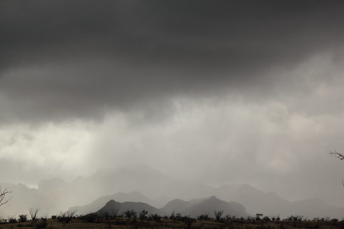
santa county winter arizona cloud storm rain fog clouds canon landscape eos rebel cloudy january az cruz 31 winterstorm santacruzcounty 2015 13115 t2i santacruzcountyaz santacruzcountyarizona canoneosrebelt2i eosrebelt2i january312015 1312015
Rainy End #26
landscape paisaje paisajem publiclands nwr grassland nature
Arivaca Cienaga
santa county winter arizona cloud storm rain fog clouds canon landscape eos rebel cloudy january az cruz 31 winterstorm santacruzcounty 2015 13115 t2i santacruzcountyaz santacruzcountyarizona canoneosrebelt2i eosrebelt2i january312015 1312015
Rainy End #28
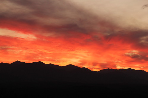
morning red sky orange cloud sun nature yellow skyline clouds sunrise canon eos rebel gold dawn october 29 rise daybreak 2011 arizonasky arizonasunrise t2i arizonaskyline canoneosrebelt2i eosrebelt2i october292011 10292011 crosscountrysectionals102911
Cross Country Sectionals 10-29-11 012
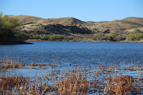
arizona lake nature water reeds landscape photography weeds desert hiking az coronadonationalforest arivaca arivacalake iphoneography vscocam uploaded:by=flickrmobile flickriosapp:filter=nofilter
Arivaca Lake Shore
morning red sky orange cloud sun nature yellow skyline clouds sunrise canon eos rebel gold dawn october 29 rise daybreak 2011 arizonasky arizonasunrise t2i arizonaskyline canoneosrebelt2i eosrebelt2i october292011 10292011 crosscountrysectionals102911
Cross Country Sectionals 10-29-11 005
arizona 2014 santacruzcounty arivacalake
0U1A3421 Arivaca Lake
morning red sky orange cloud sun nature yellow skyline clouds sunrise canon eos rebel gold dawn october 29 rise daybreak 2011 arizonasky arizonasunrise t2i arizonaskyline canoneosrebelt2i eosrebelt2i october292011 10292011 crosscountrysectionals102911
Cross Country Sectionals 10-29-11 006
morning red sky orange cloud sun nature yellow skyline clouds sunrise canon eos rebel gold dawn october 29 rise daybreak 2011 arizonasky arizonasunrise t2i arizonaskyline canoneosrebelt2i eosrebelt2i october292011 10292011 crosscountrysectionals102911
Cross Country Sectionals 10-29-11 008
morning red sky orange cloud sun nature yellow skyline clouds sunrise canon eos rebel gold dawn october 29 rise daybreak 2011 arizonasky arizonasunrise t2i arizonaskyline canoneosrebelt2i eosrebelt2i october292011 10292011 crosscountrysectionals102911
Cross Country Sectionals 10-29-11 011
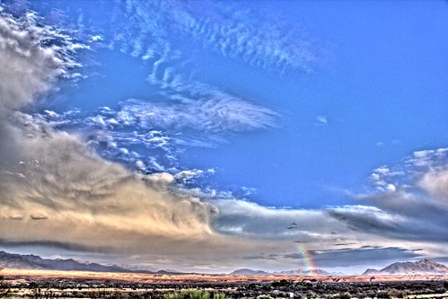
arizona sky cloud 6 nature skyline clouds canon eos rebel high rainbow dynamic az april range hdr highdynamicrange luminance 2011 arizonasky 4611 t2i luminancehdr canoneosrebelt2i 462011 april62011
Clouds HDR
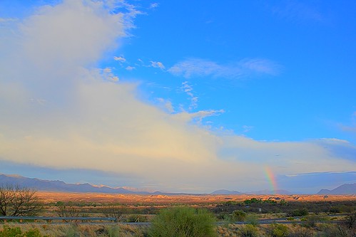
arizona sky cloud 6 nature skyline clouds canon eos rebel high rainbow dynamic az april range hdr highdynamicrange luminance 2011 arizonasky 4611 t2i arizonaskyline luminancehdr canoneosrebelt2i 462011 april62011
From Agua Linda HDR v2
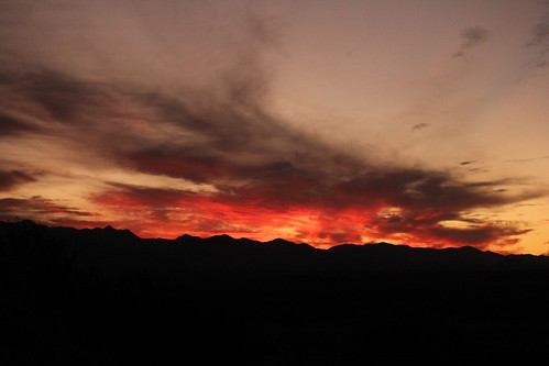
morning red sky orange cloud sun nature yellow skyline clouds sunrise canon eos rebel gold dawn october 29 rise daybreak 2011 arizonasky arizonasunrise t2i arizonaskyline canoneosrebelt2i eosrebelt2i october292011 10292011 crosscountrysectionals102911
Cross Country Sectionals 10-29-11 001
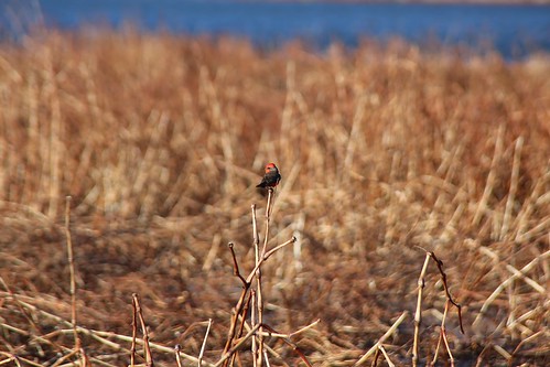
arizona 2014 santacruzcounty arivacalake
0U1A3424 Arivaca Lake - bird