Elevation of Sangre De Cristo, Cotopaxi, CO, USA
Location: United States > Colorado > Fremont County > Coaldale >
Longitude: -105.74945
Latitude: 38.3511597
Elevation: 2026m / 6647feet
Barometric Pressure: 79KPa
Elevation Map:
Satellite Map:
Related Photos:

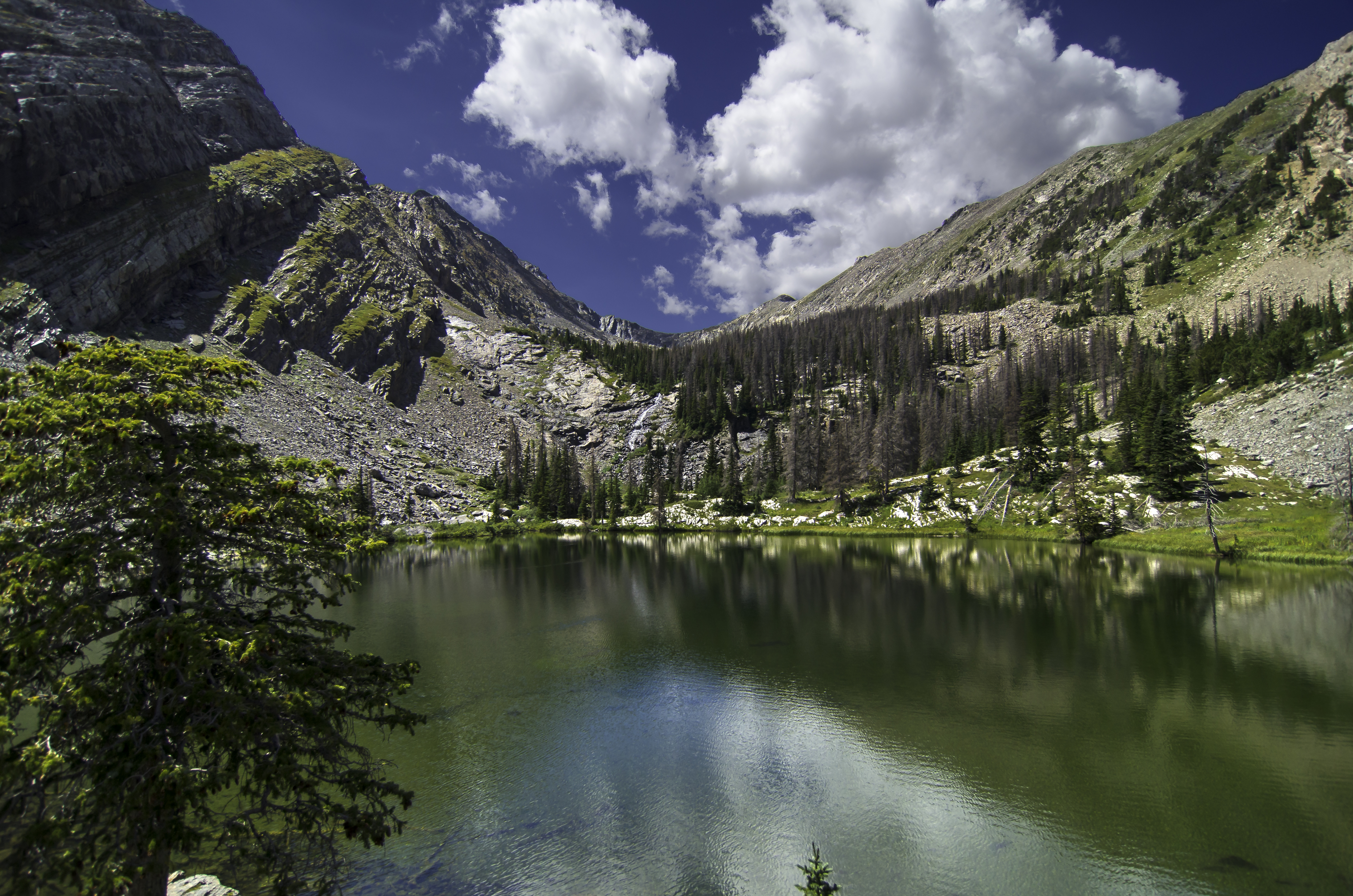
Rainbow Lake
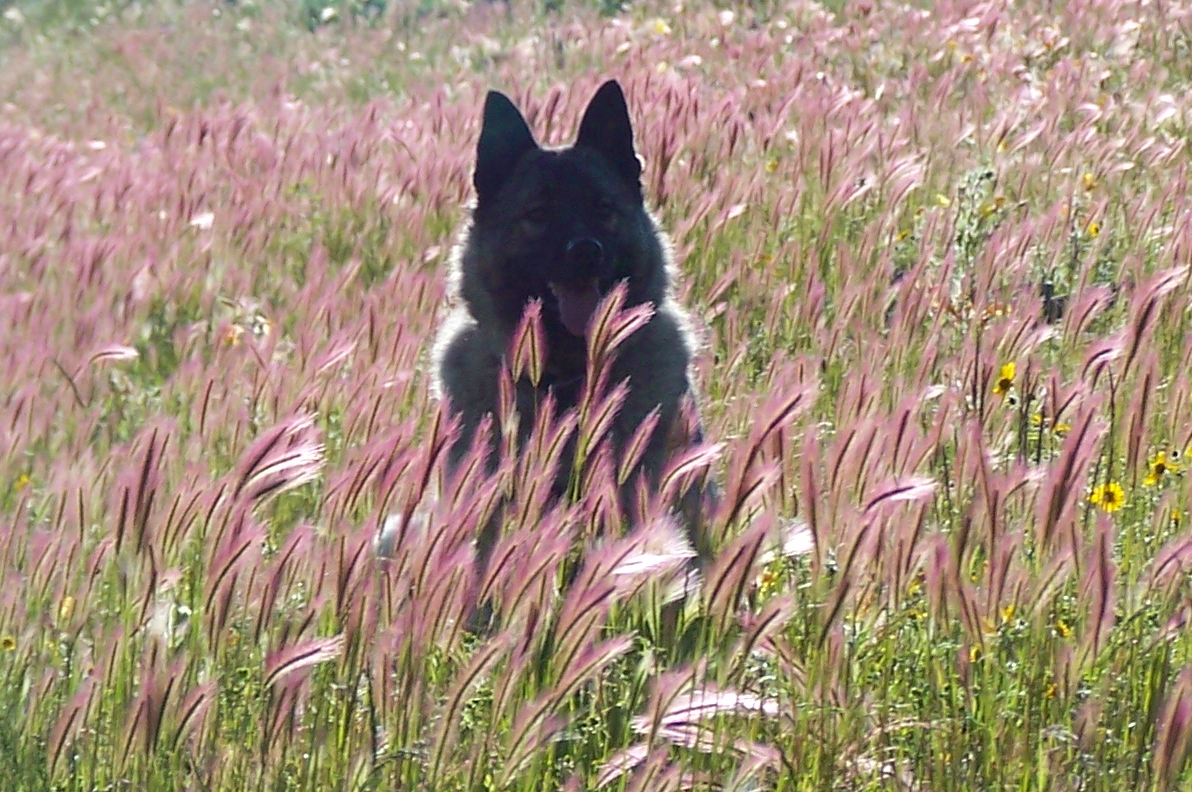
Grizzly, Norwegian Elkhound, in tall grass.
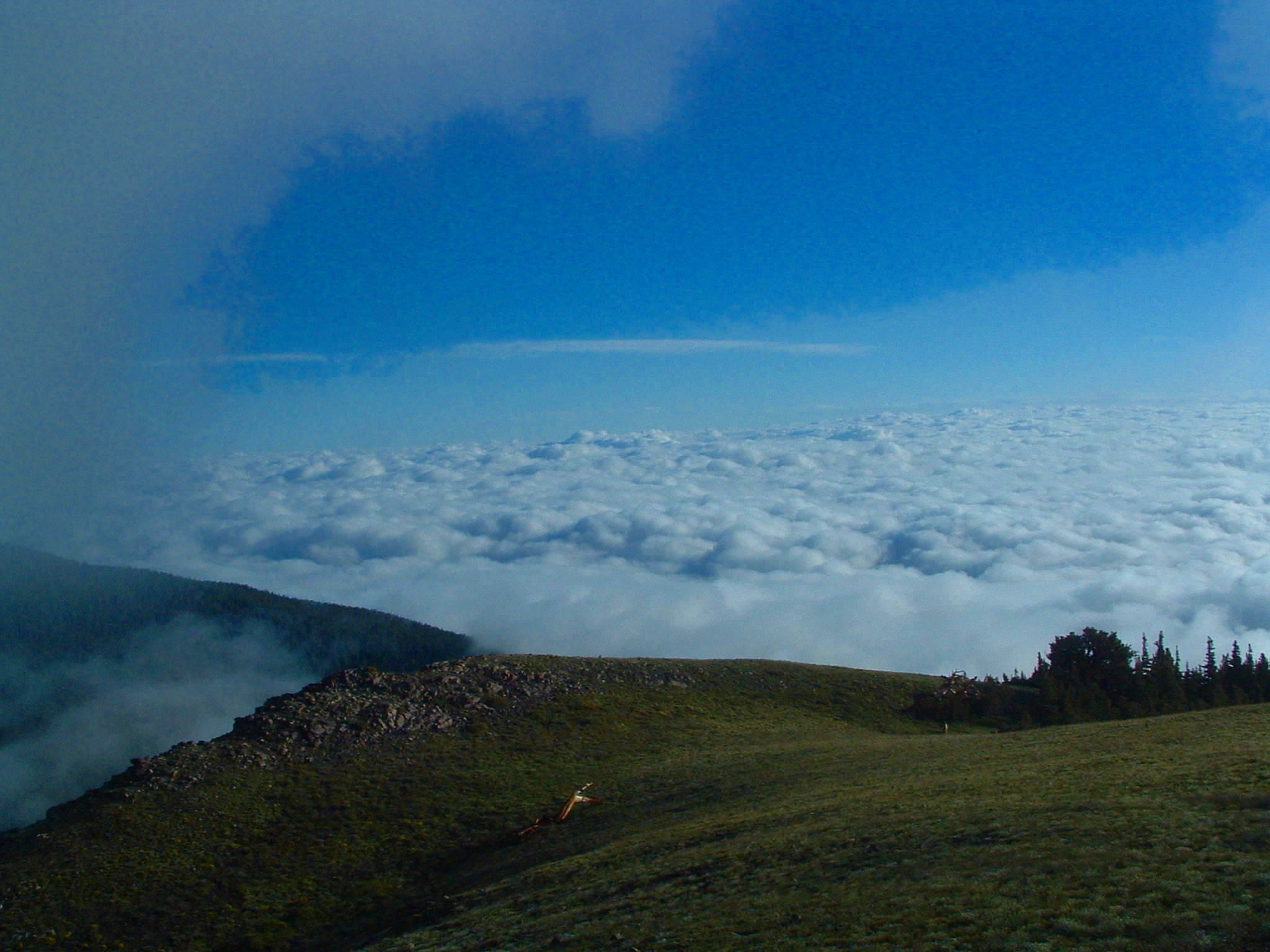
LOOKING DOWN AT THE CLOUDS
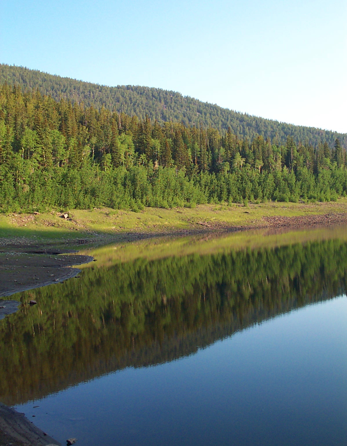
MIRROR 2
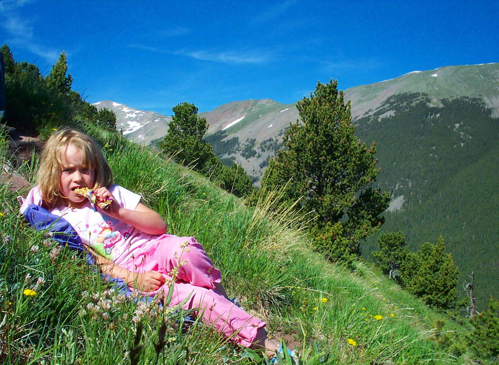
SNACK TIME
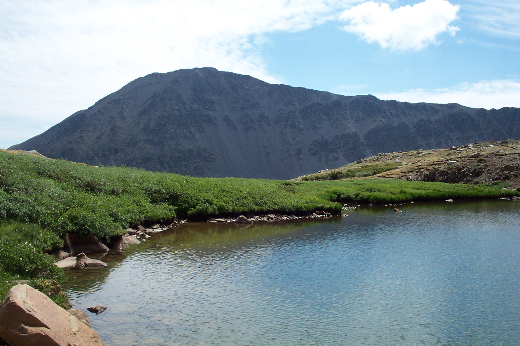
silver lake
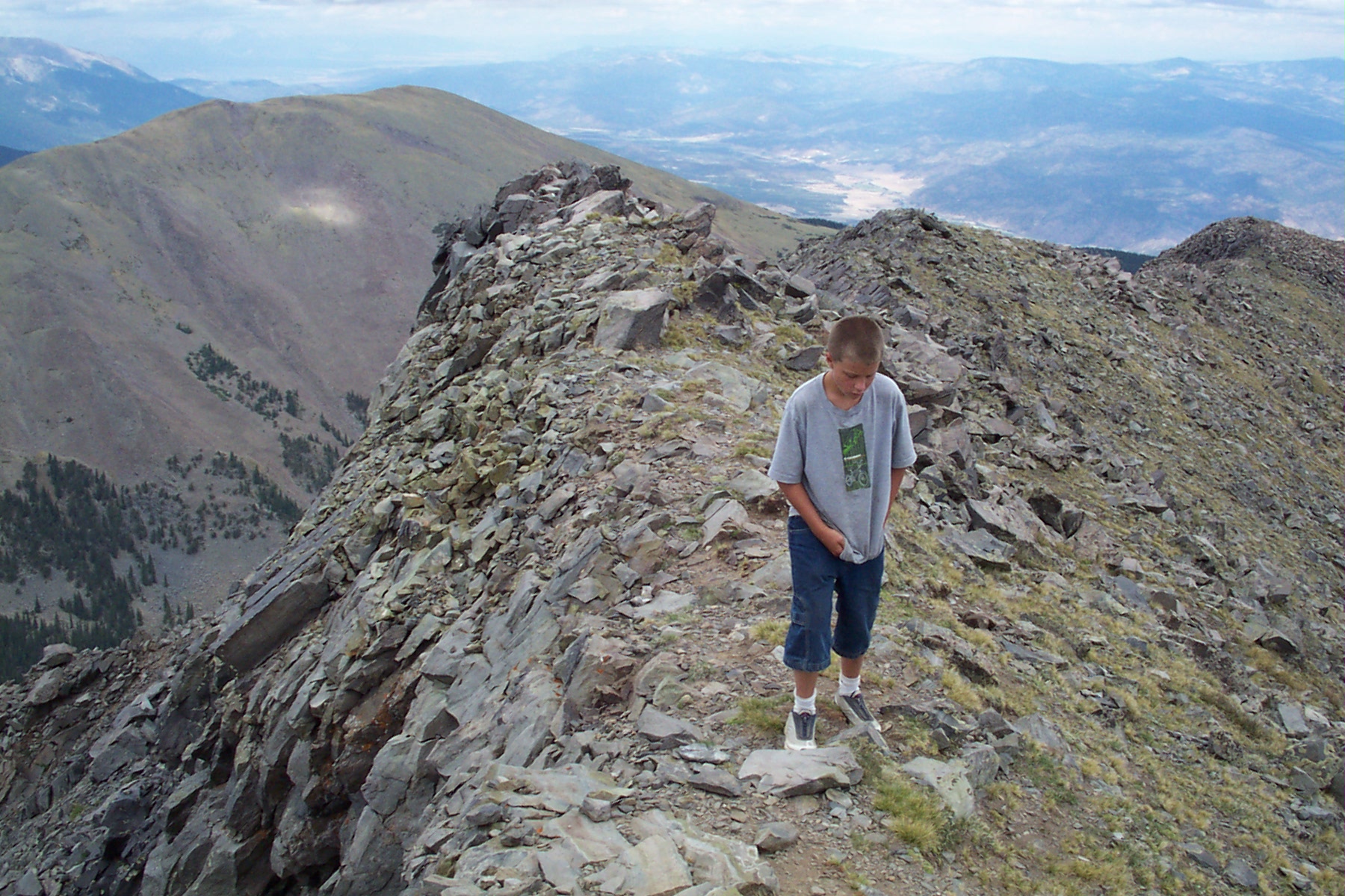
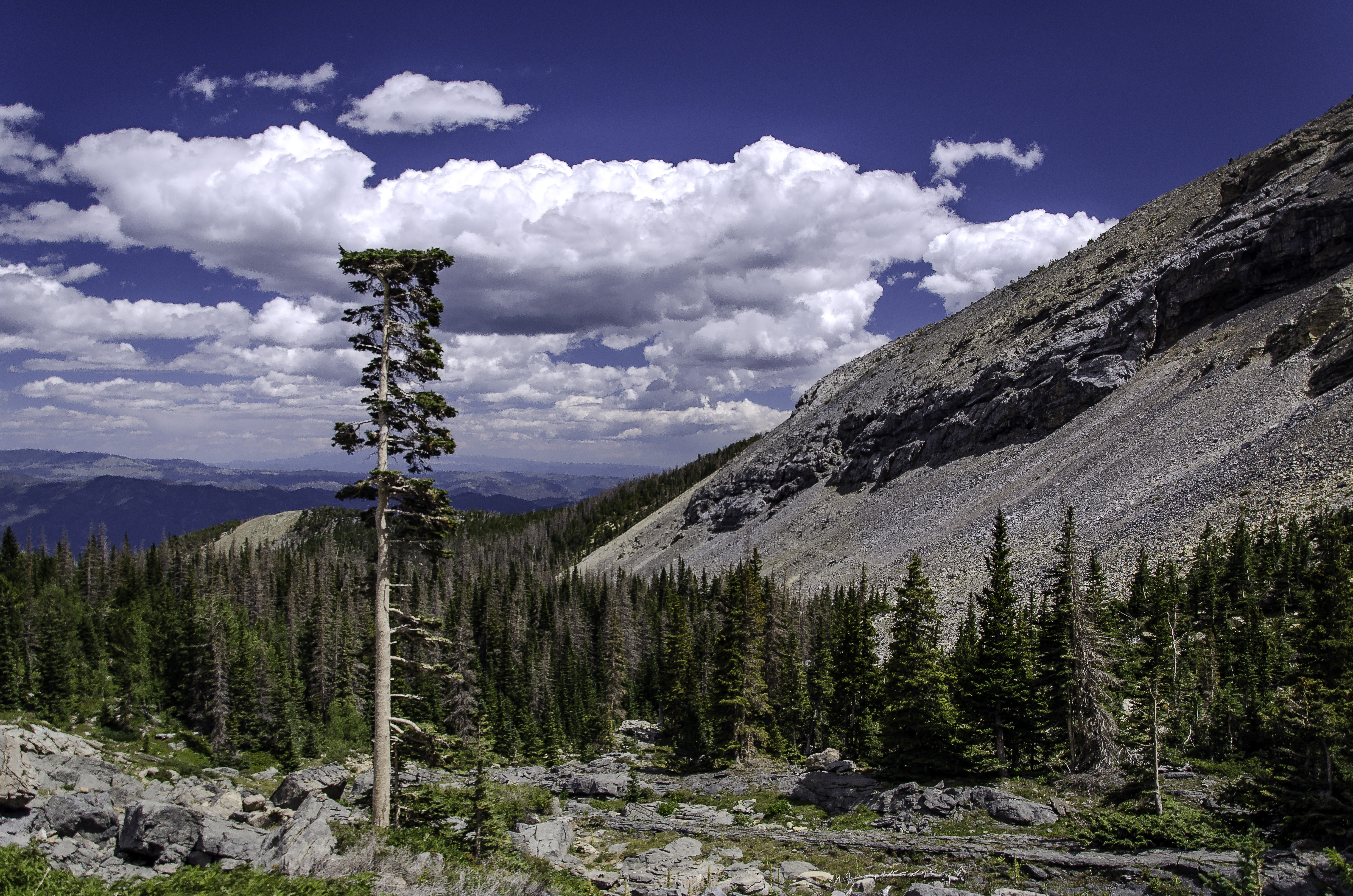
Eagle Peak Hike
Eagle Peak3
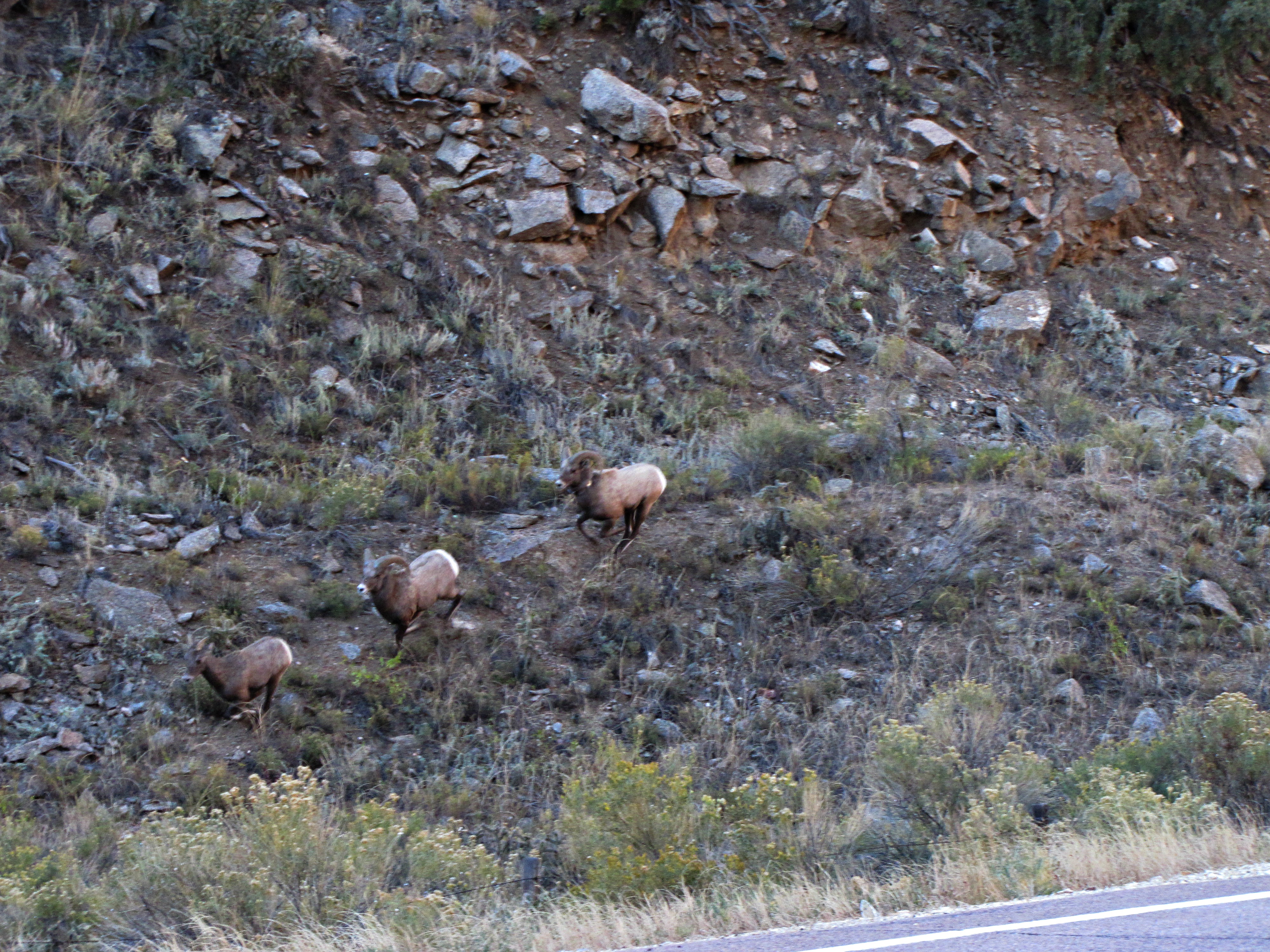
The rut (6 of 6)
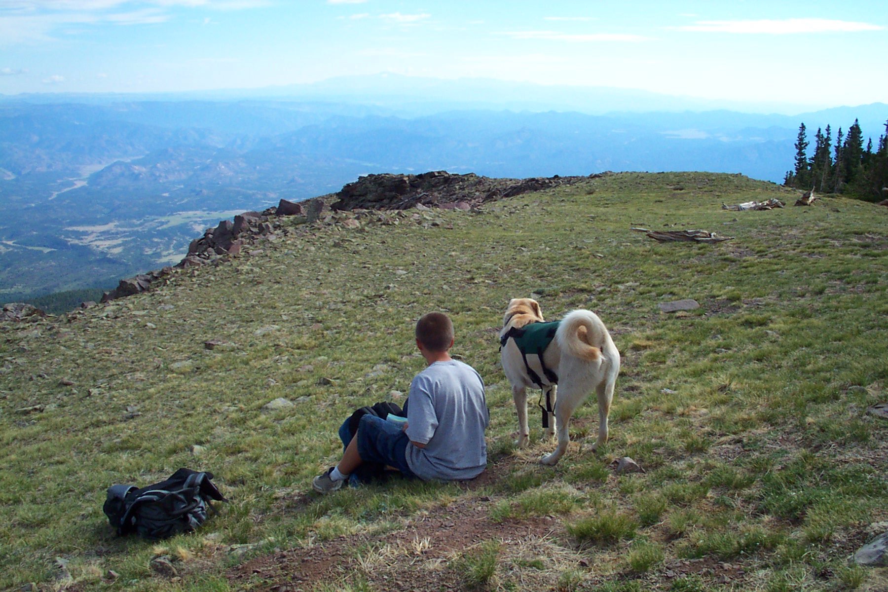
ENJOY THE VIEW
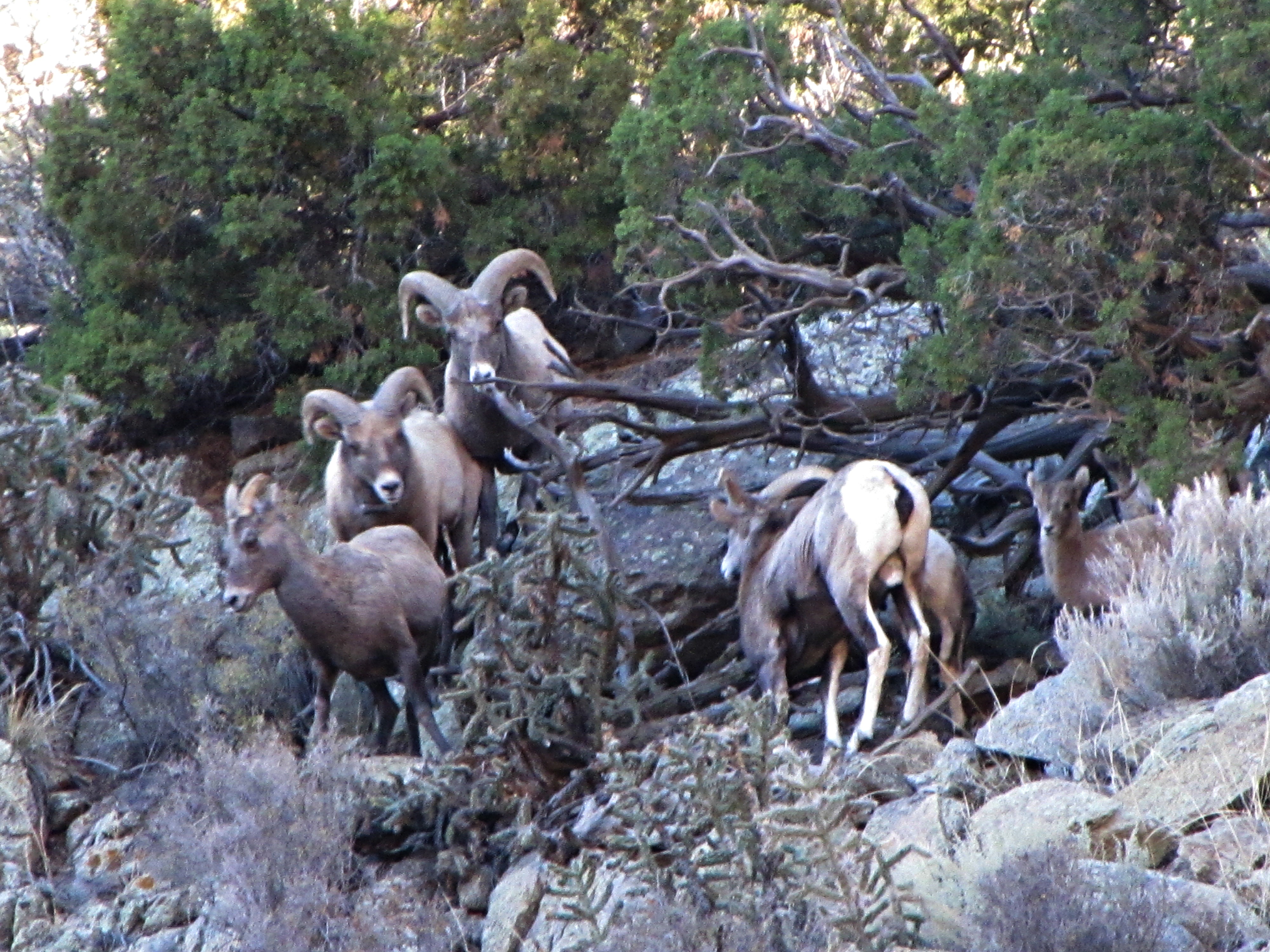
The rut (3 of 6)
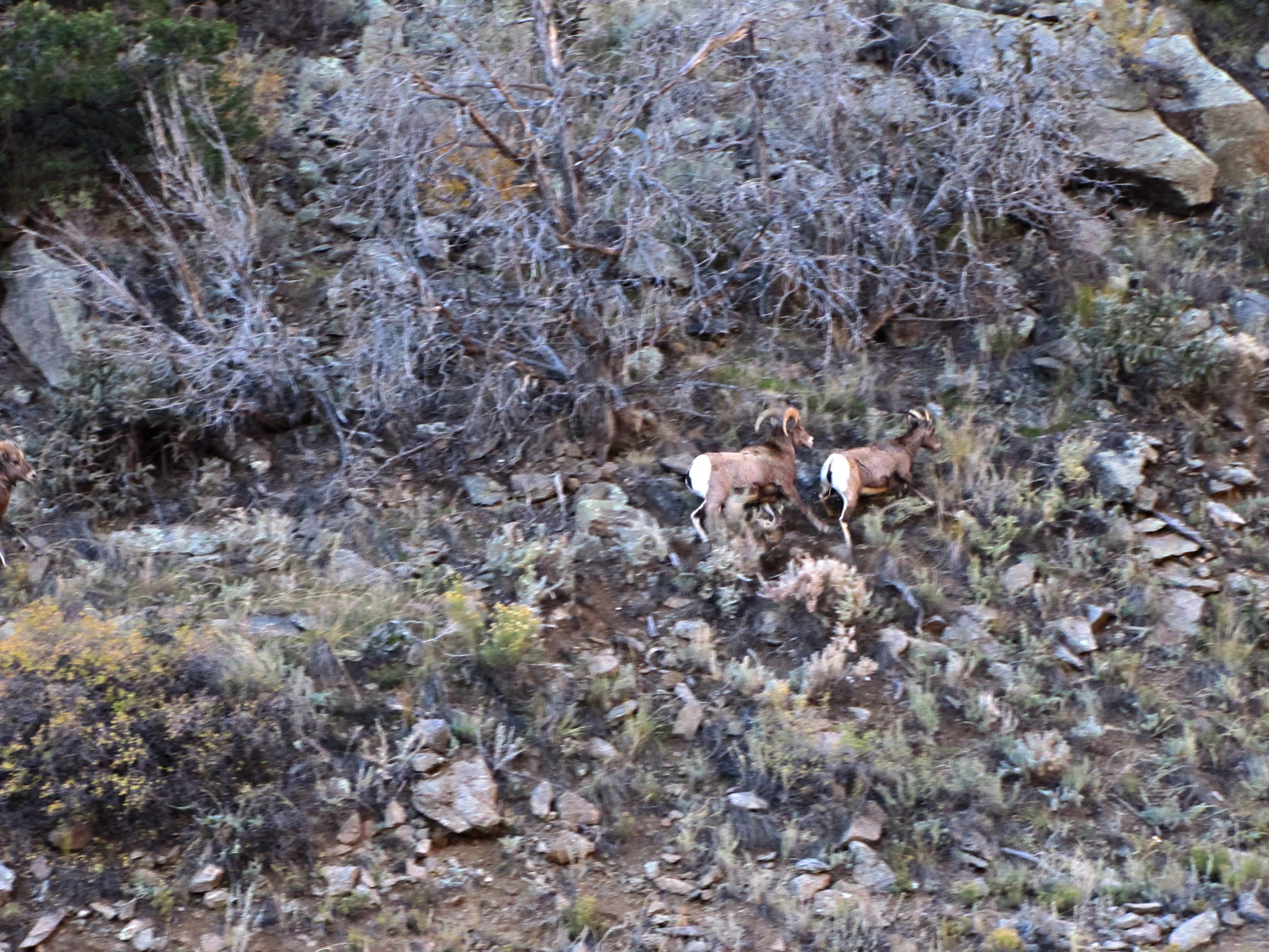
The rut (5 of 6)
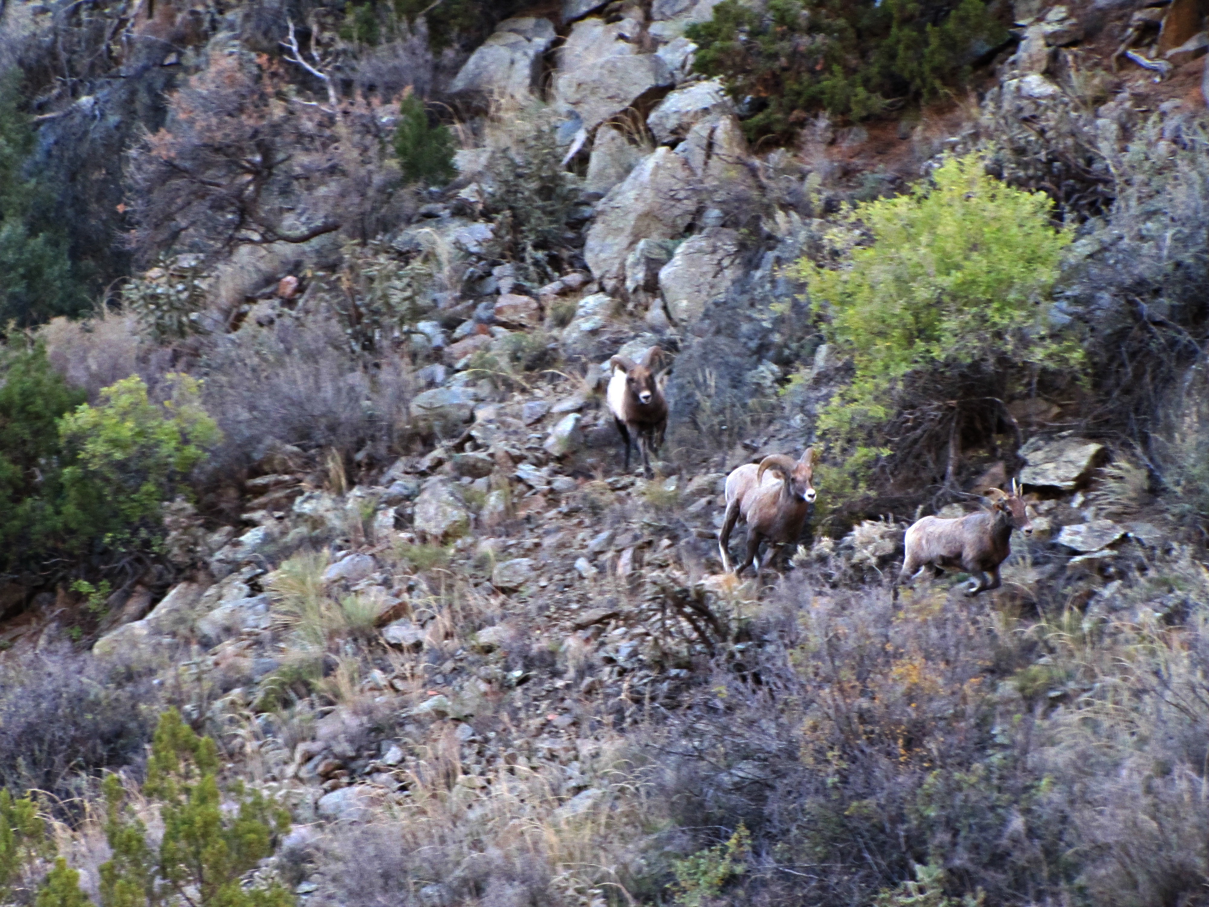
The rut (4 of 6)
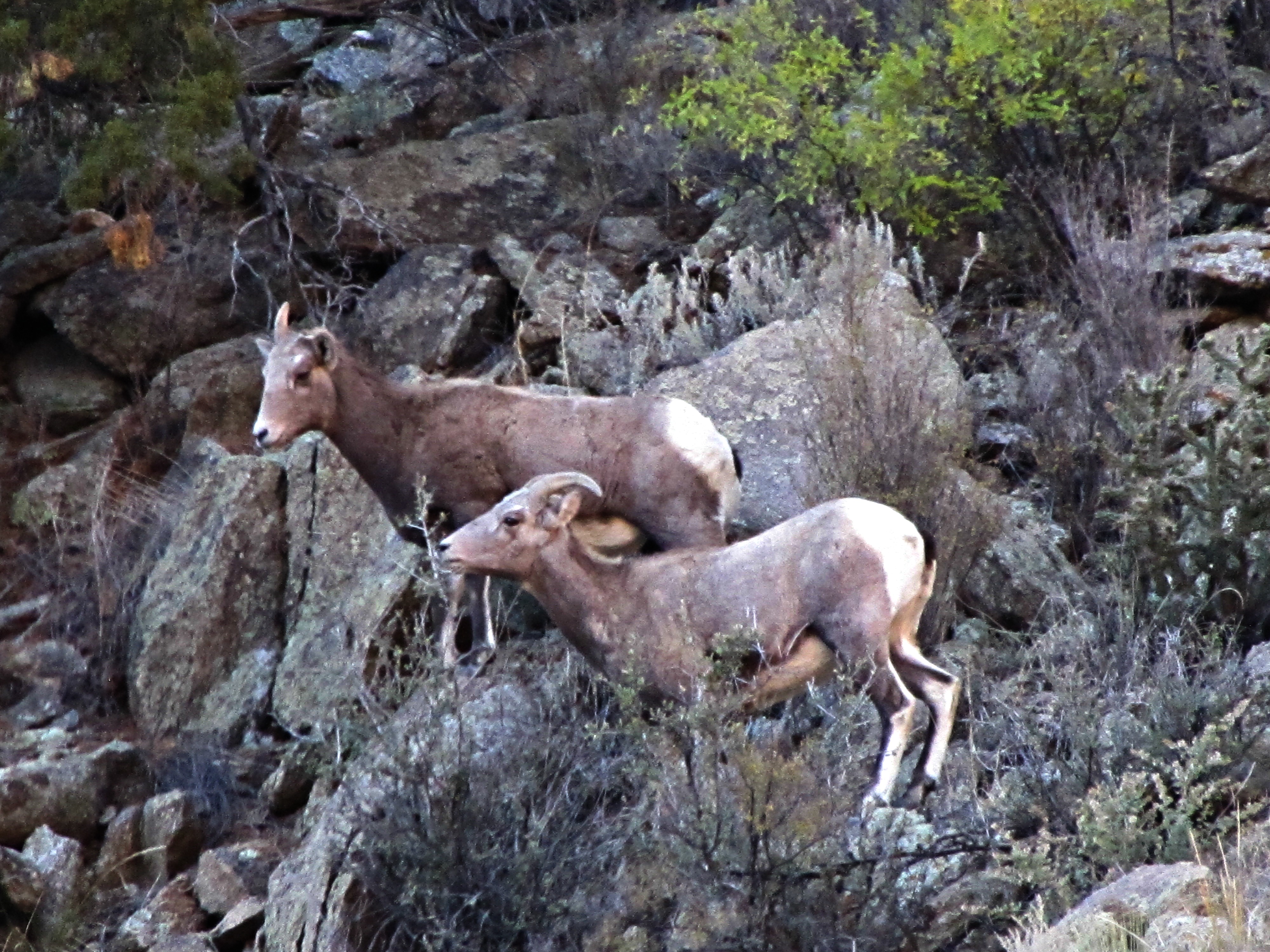
The rut (2 of 6)
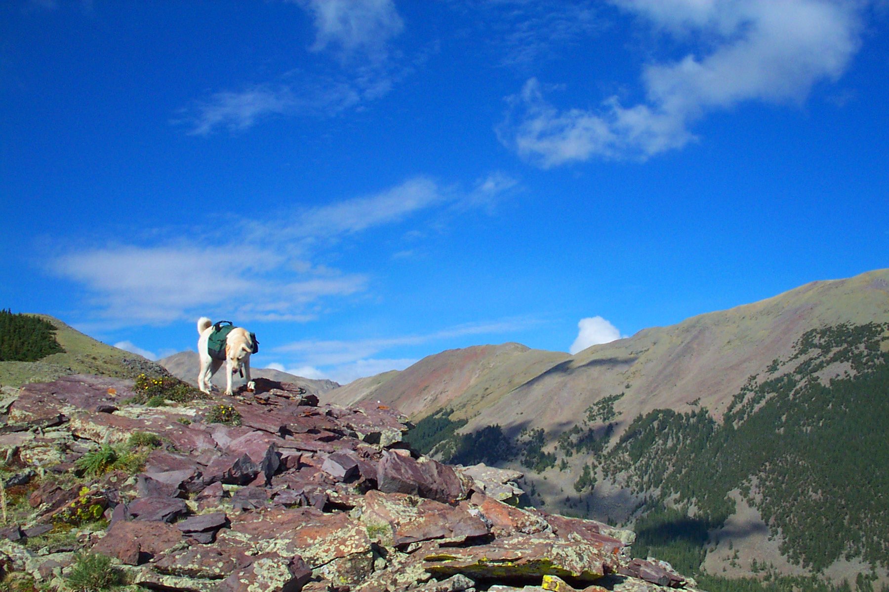
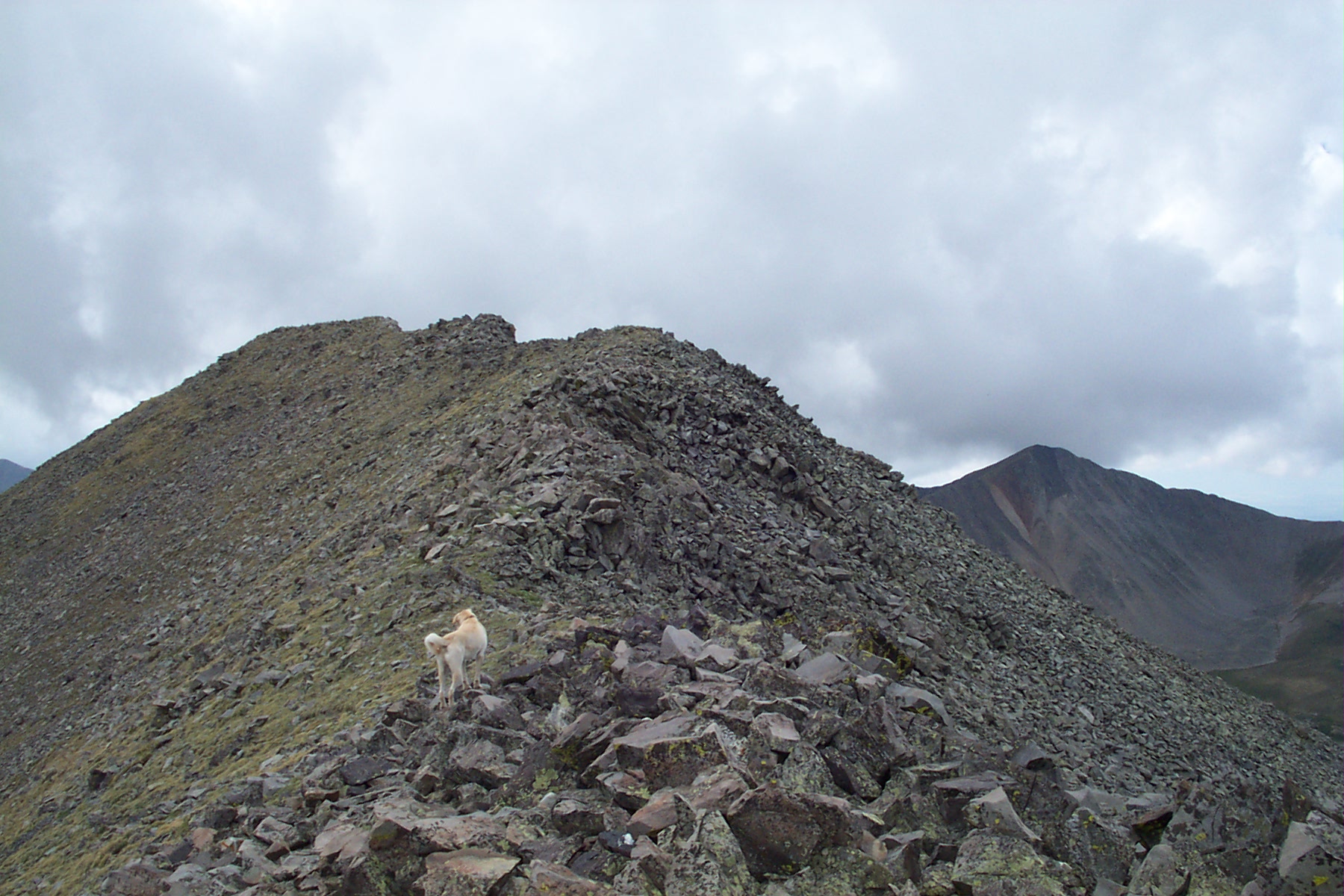
DOG WITH A VIEW
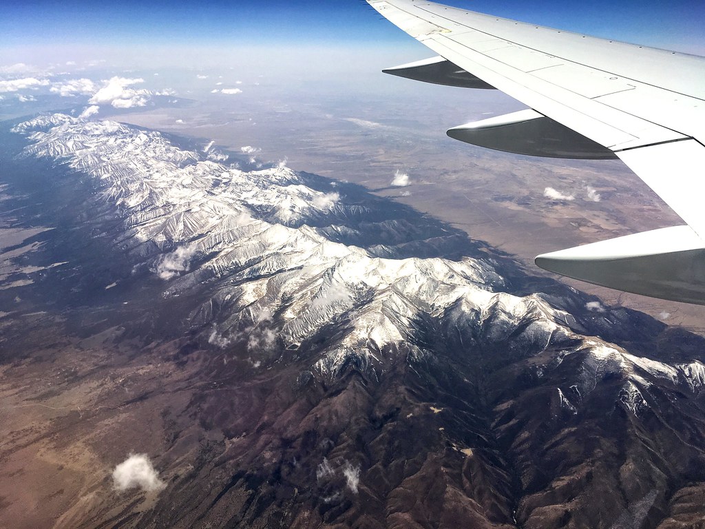
Window Seat | Over Cotopaxi, Colorado | Delta Boeing 757-300

BUDDY GAZE / ABOVE THE CLOUDS
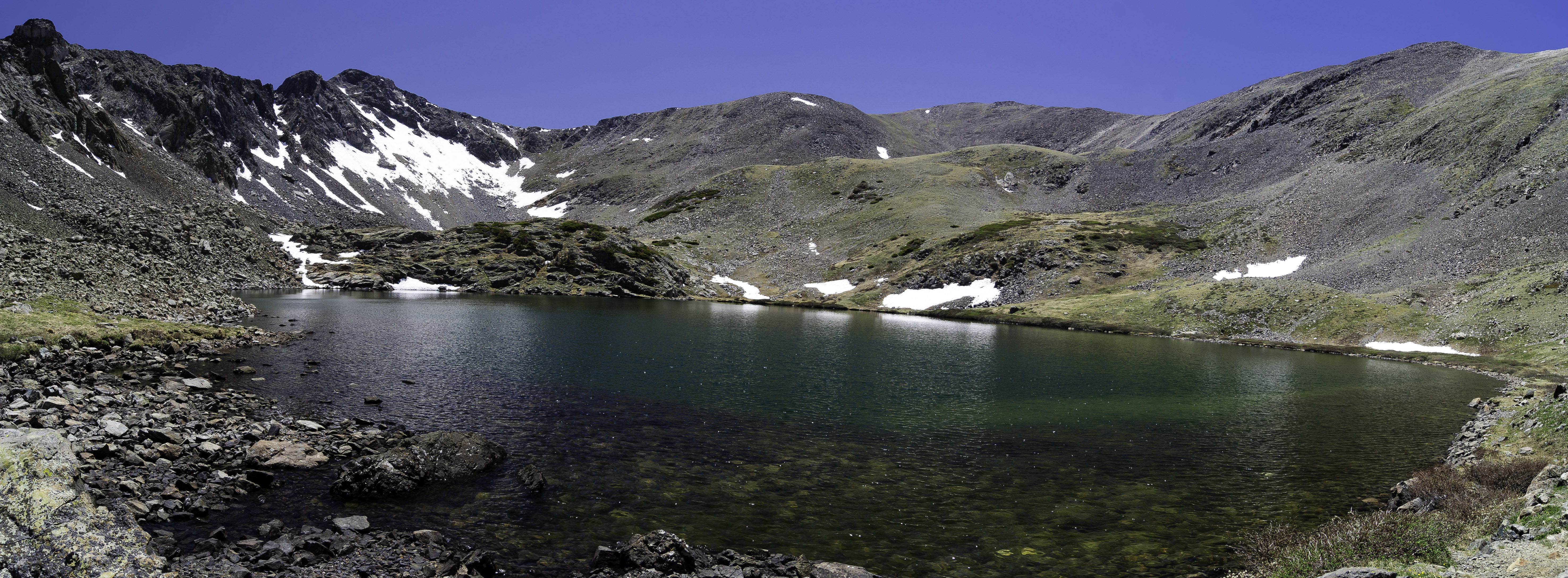
Stout Lake-Pano
Bushnell Lake
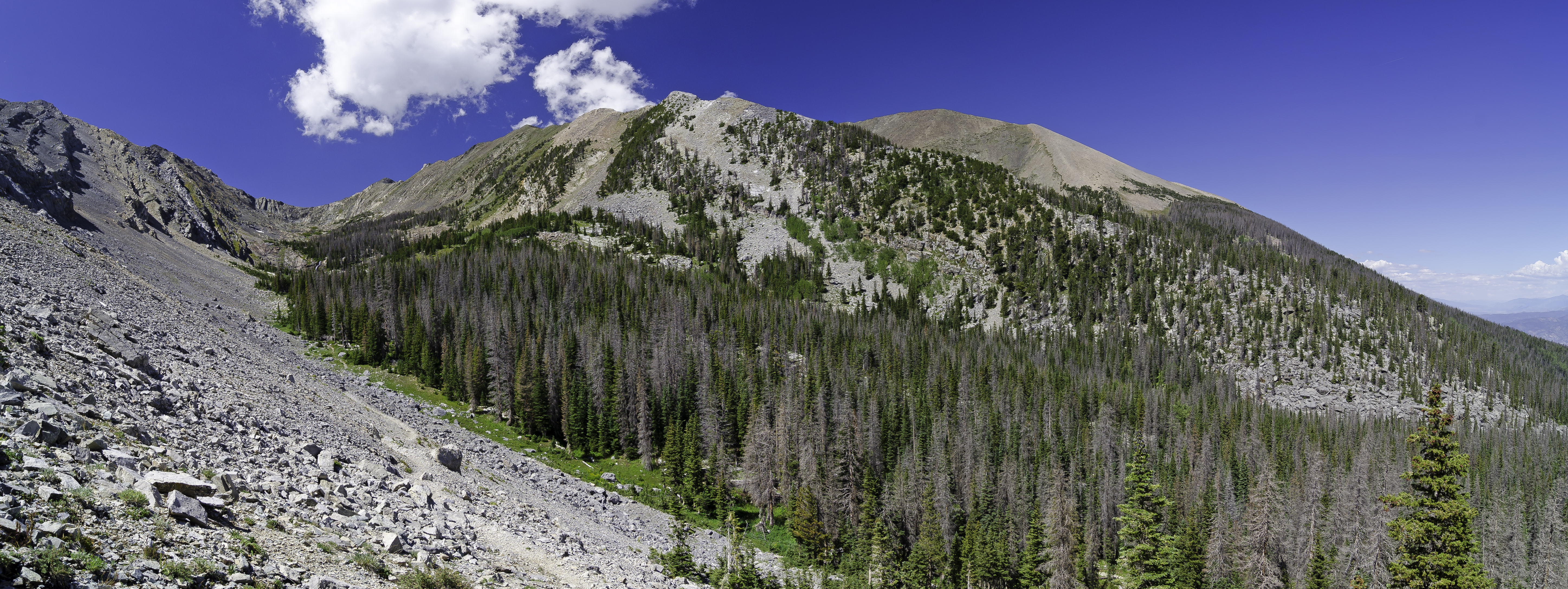
San Isabel National Forset
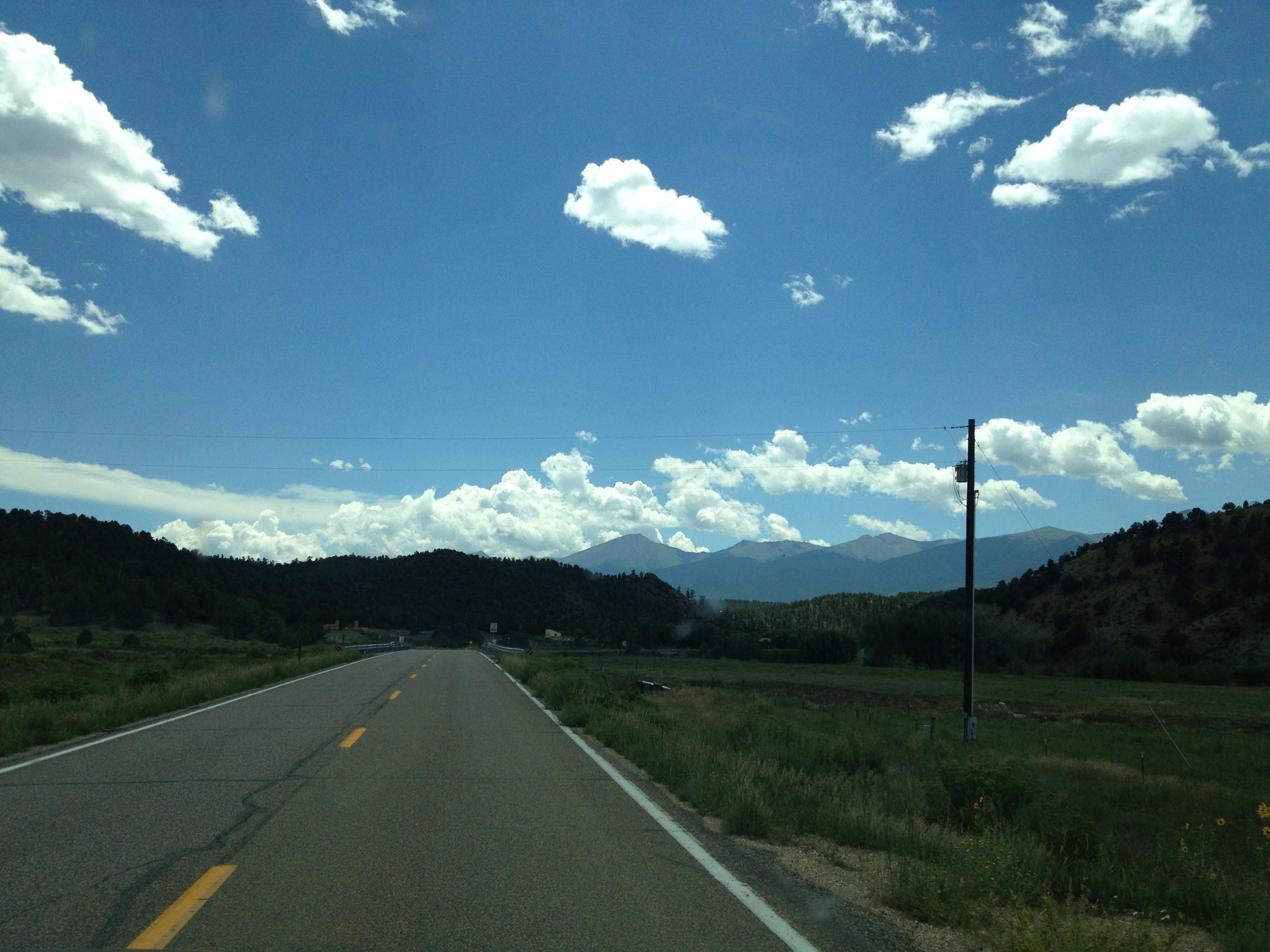
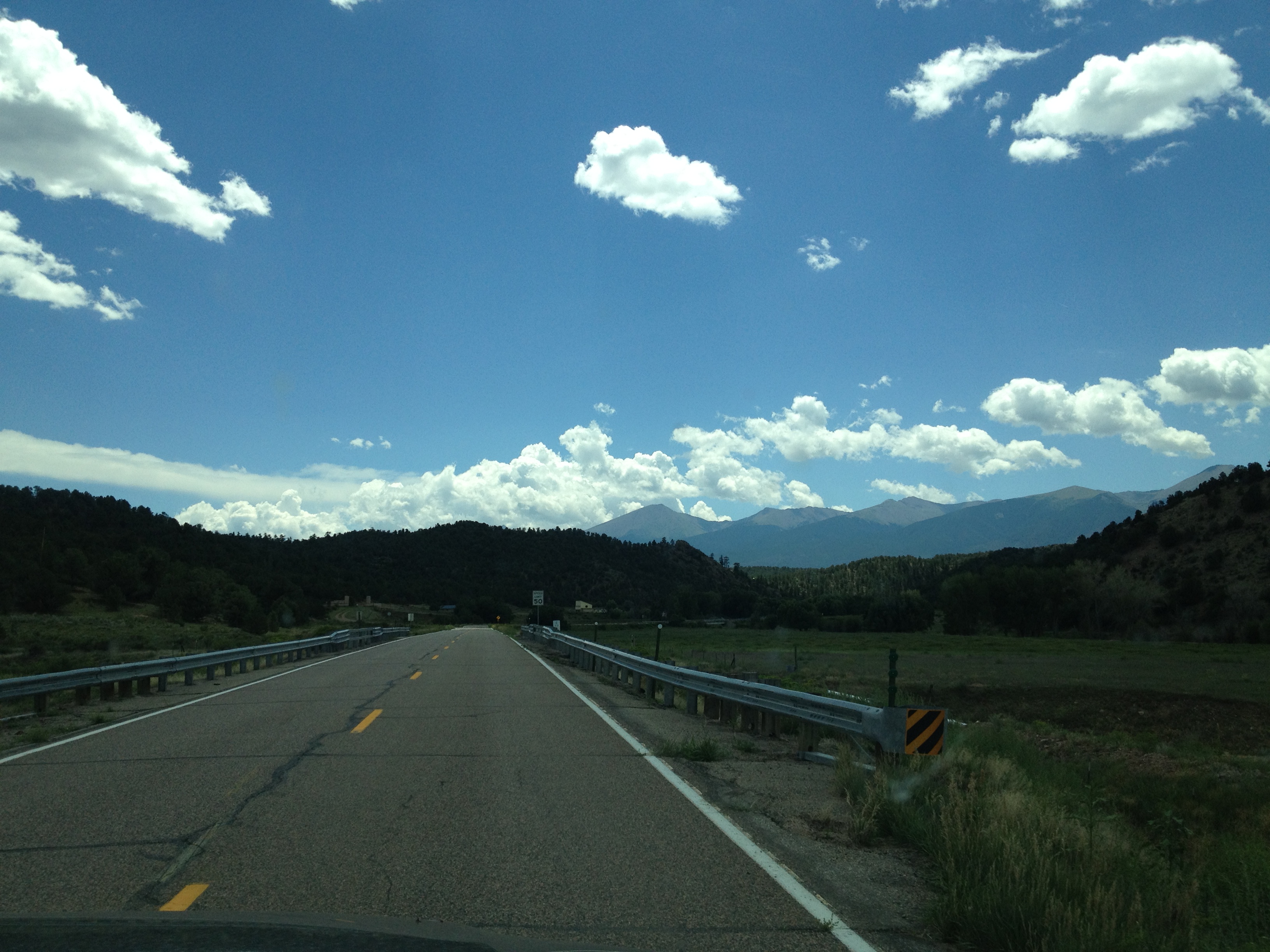
Cotopaxi bound
2013-08-10 13.25.44
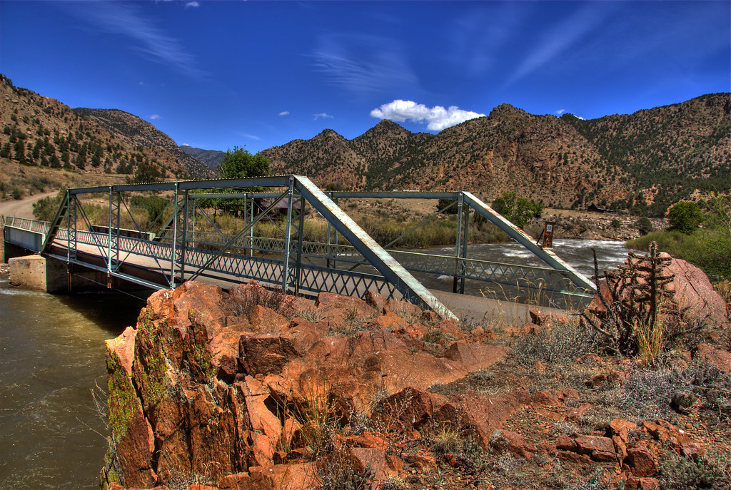
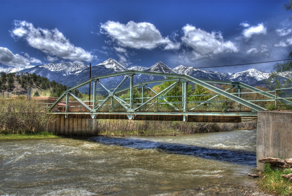
Texas Creek Bridge
2013-08-10 13.25.47
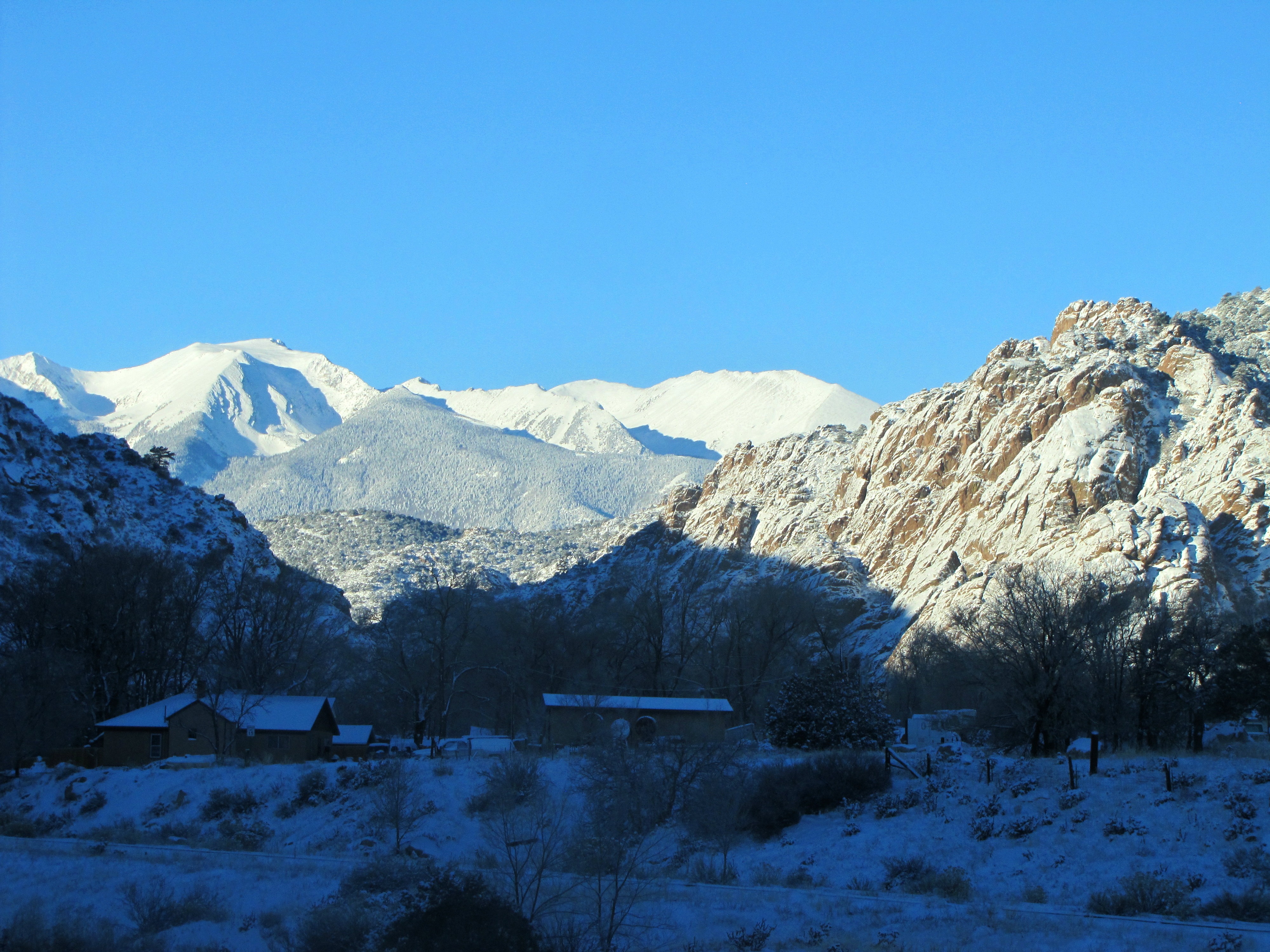
Early winter morning in Cotopaxi

Stout Lake, Colorado
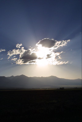
Clouds Near Westcliffe
Bushnell Peak
East Howard Bridge, Howard, Colorado
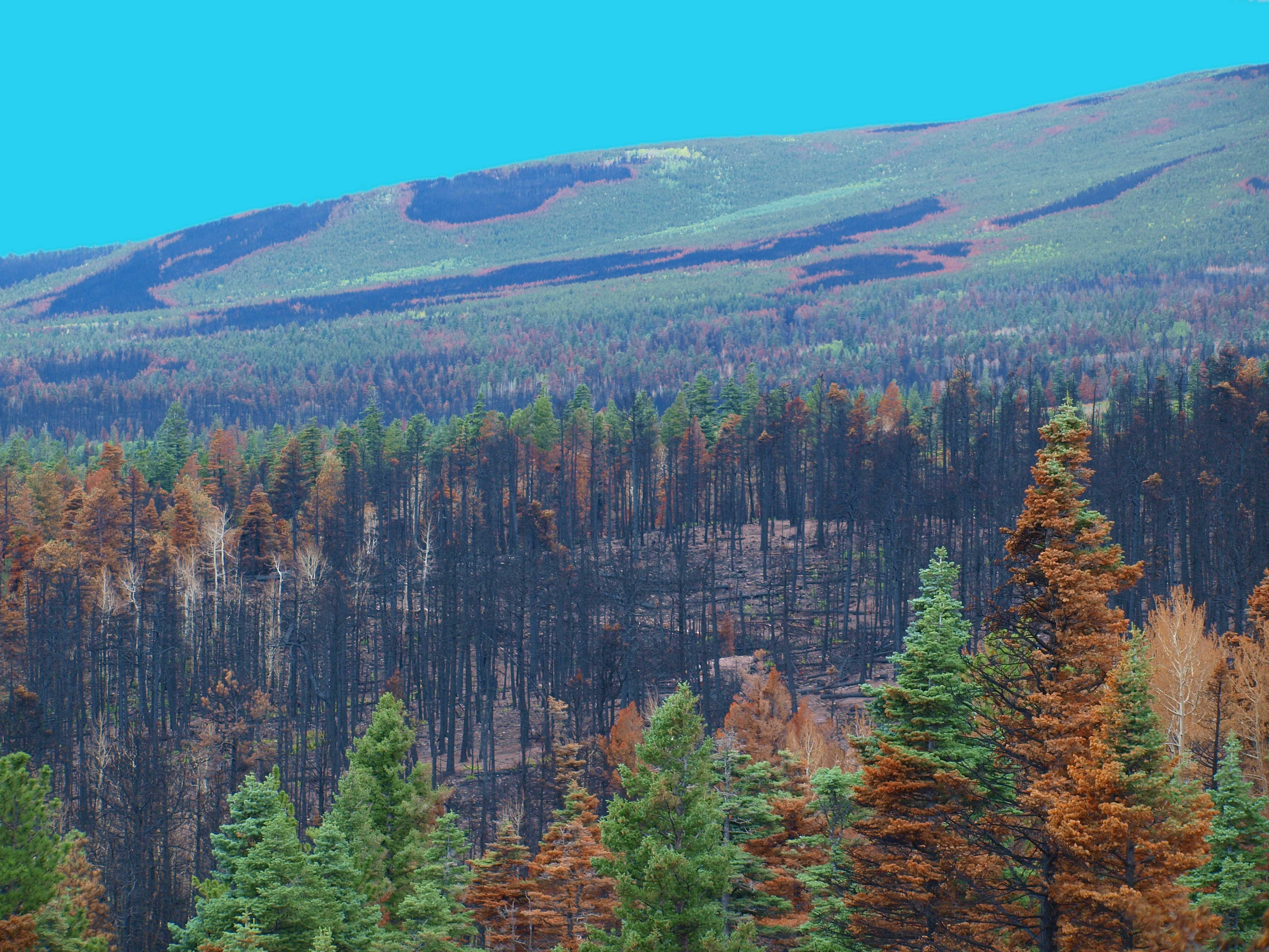
DUCKETT BURN SCAR

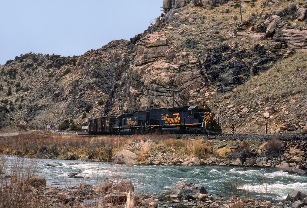
Arkansas River, CO
Topographic Map of Sangre De Cristo, Cotopaxi, CO, USA
Find elevation by address:

Places near Sangre De Cristo, Cotopaxi, CO, USA:
250 Fre Co Rd 006
Itty Bitty Lakes Art Gallery & Campground
331 Pole Mountain Ln
Coaldale
255 Meadow Dr
255 Meadow Dr
Deep Gulch
1379 Hamilton Creek Rd
Cotopaxi Store
Cotopaxi
145 County Rd 51
853 Basin Dr
Aspen Way
Pinon Drive
Pinon Drive
Cherry Creek Lane
47 Cherry Creek Ln
3973 Basin Dr
Burned Timber Mountain
Trail Drive
Recent Searches:
- Elevation of Corso Fratelli Cairoli, 35, Macerata MC, Italy
- Elevation of Tallevast Rd, Sarasota, FL, USA
- Elevation of 4th St E, Sonoma, CA, USA
- Elevation of Black Hollow Rd, Pennsdale, PA, USA
- Elevation of Oakland Ave, Williamsport, PA, USA
- Elevation of Pedrógão Grande, Portugal
- Elevation of Klee Dr, Martinsburg, WV, USA
- Elevation of Via Roma, Pieranica CR, Italy
- Elevation of Tavkvetili Mountain, Georgia
- Elevation of Hartfords Bluff Cir, Mt Pleasant, SC, USA