Elevation of Burned Timber Mountain, Colorado, USA
Location: United States > Colorado > Cotopaxi >
Longitude: -105.75778
Latitude: 38.4602749
Elevation: 3069m / 10069feet
Barometric Pressure: 69KPa
Elevation Map:
Satellite Map:
Related Photos:
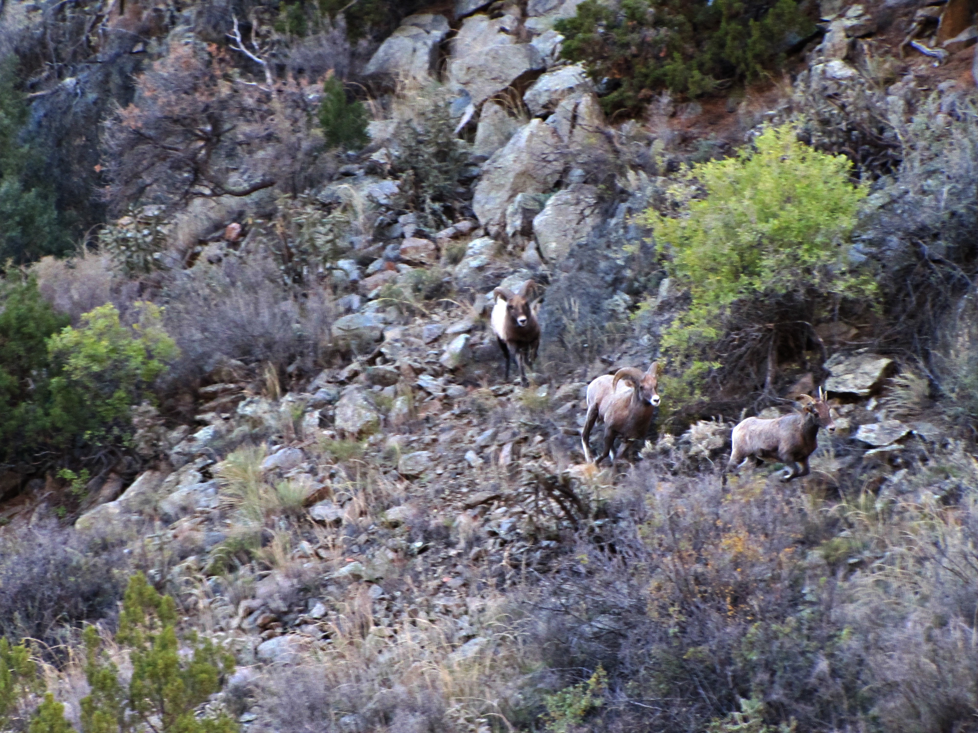
The rut (4 of 6)
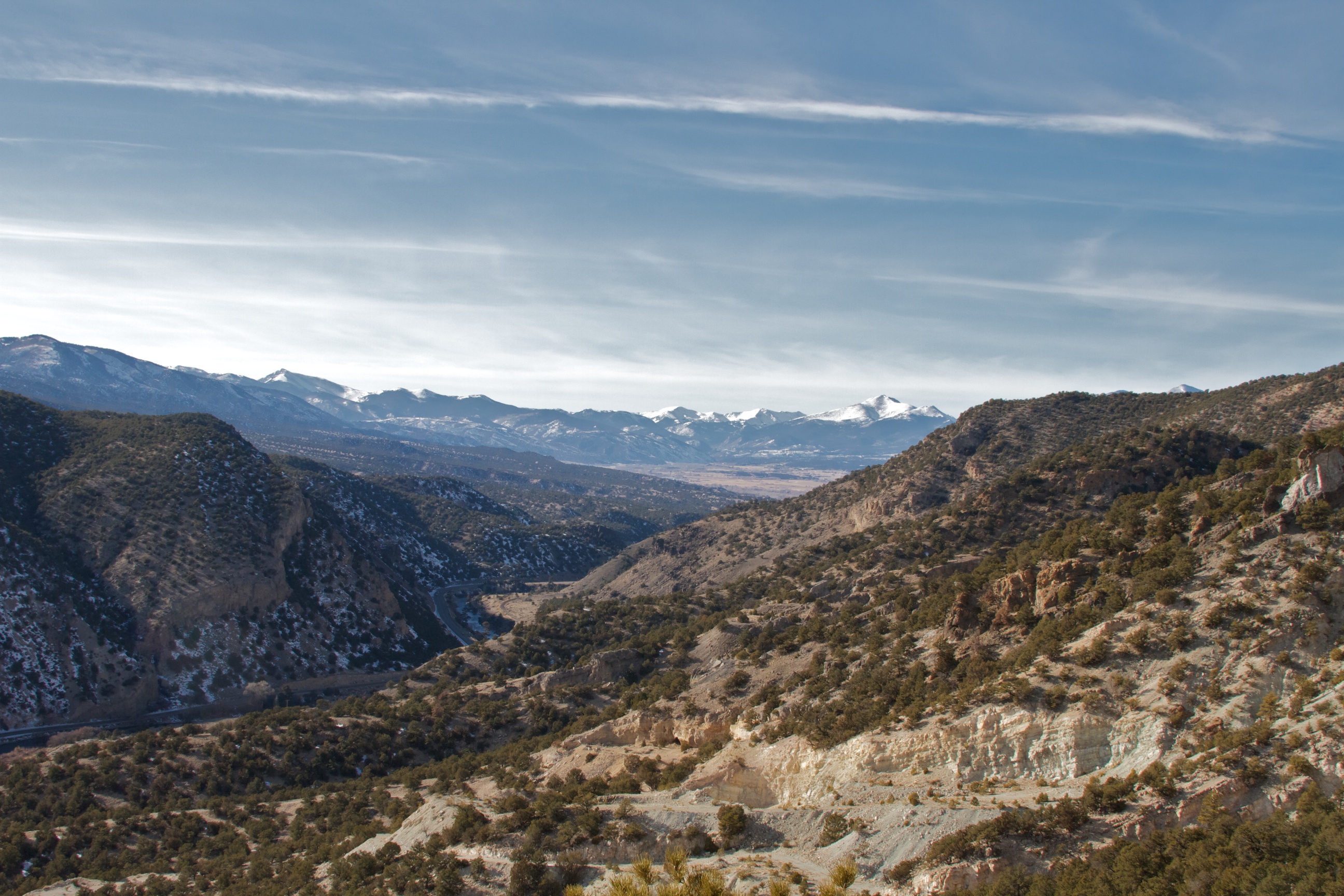
View Back Towards Salida from Wellsville
Topographic Map of Burned Timber Mountain, Colorado, USA
Find elevation by address:

Places near Burned Timber Mountain, Colorado, USA:
North Lane
Trail Drive
3973 Basin Dr
Aspen Way
Pinon Drive
Pinon Drive
853 Basin Dr
628 Burno Mountain Rd
1073 Copper Mtn Rd
Sand Road
Sand Road
47 Cherry Creek Ln
Cherry Creek Lane
1000 Bird Point Dr
1000 Bird Point Dr
Burnt Timber Circle
179 Half Mound Cir
189 Burnt Timber Cir
603 Big Bow Dr
512 Big Bow Dr
Recent Searches:
- Elevation of Corso Fratelli Cairoli, 35, Macerata MC, Italy
- Elevation of Tallevast Rd, Sarasota, FL, USA
- Elevation of 4th St E, Sonoma, CA, USA
- Elevation of Black Hollow Rd, Pennsdale, PA, USA
- Elevation of Oakland Ave, Williamsport, PA, USA
- Elevation of Pedrógão Grande, Portugal
- Elevation of Klee Dr, Martinsburg, WV, USA
- Elevation of Via Roma, Pieranica CR, Italy
- Elevation of Tavkvetili Mountain, Georgia
- Elevation of Hartfords Bluff Cir, Mt Pleasant, SC, USA