Elevation of Sangerfield, NY, USA
Location: United States > New York > Oneida County > Sangerfield >
Longitude: -75.379059
Latitude: 42.9139589
Elevation: 380m / 1247feet
Barometric Pressure: 97KPa
Elevation Map:
Satellite Map:
Related Photos:
View from Red Hill Road

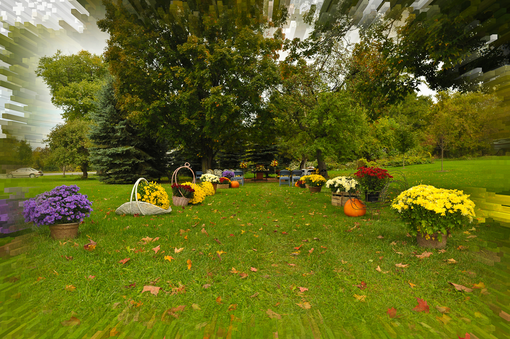
gilman wedding-81
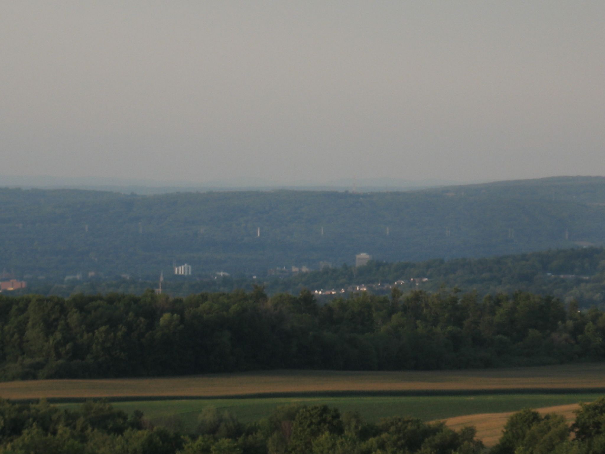
Hamilton College
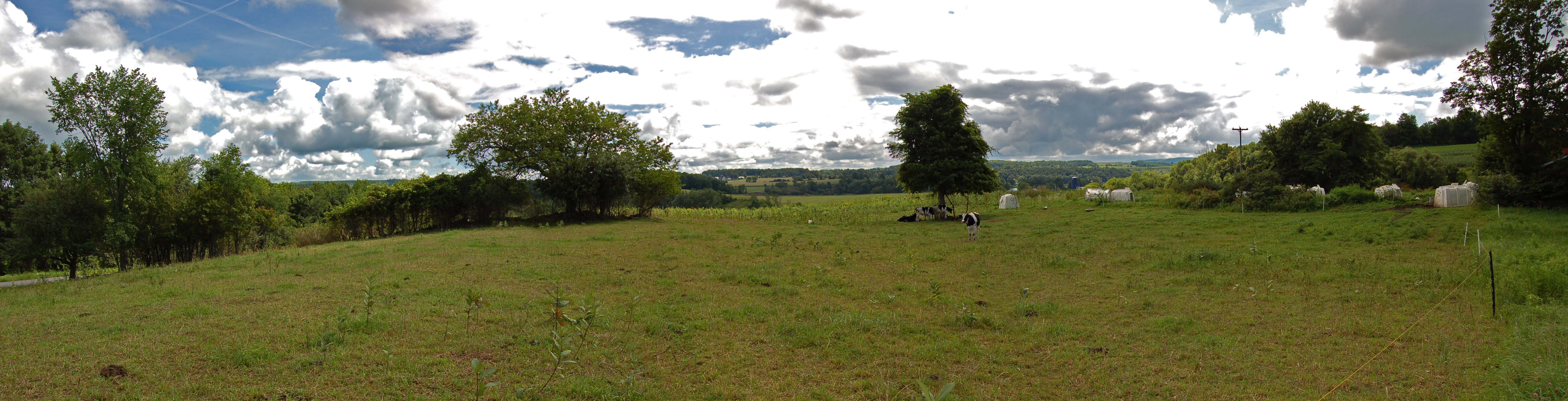
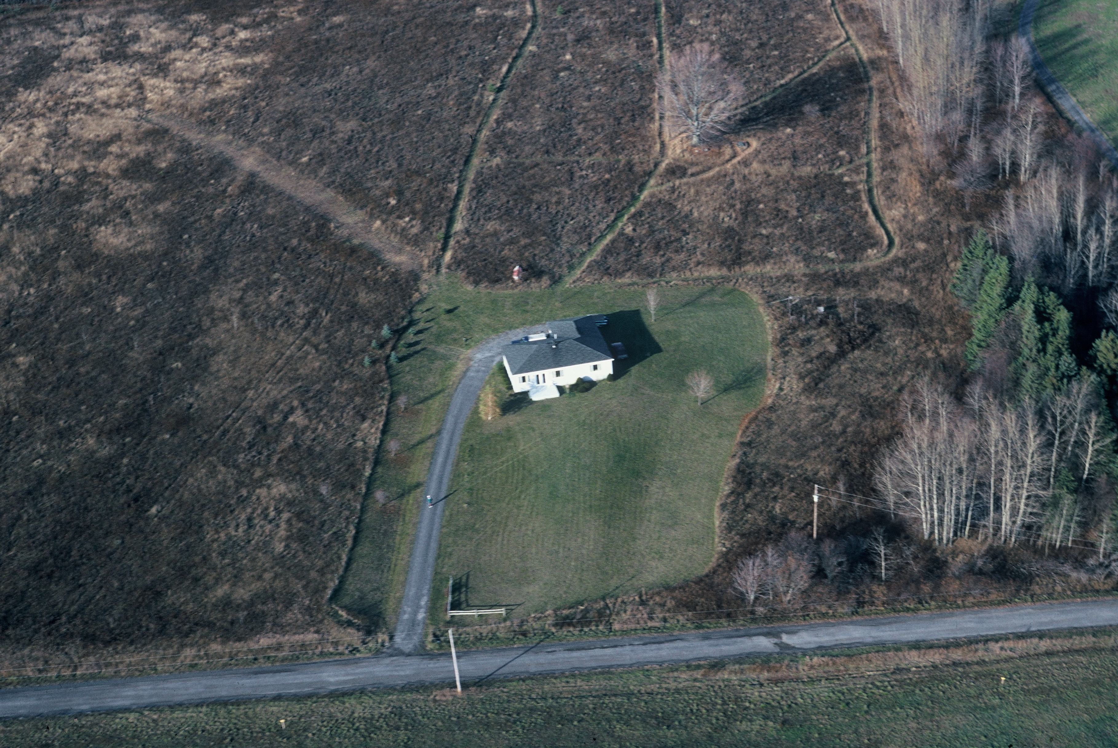
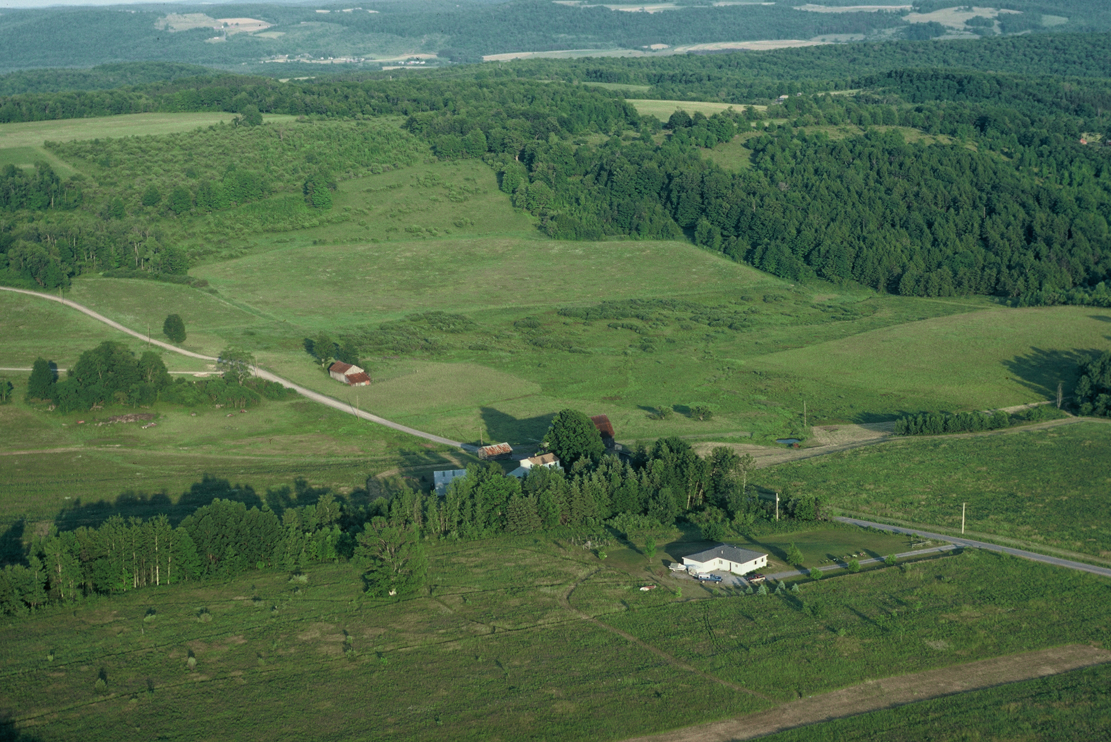
Farm Panorama
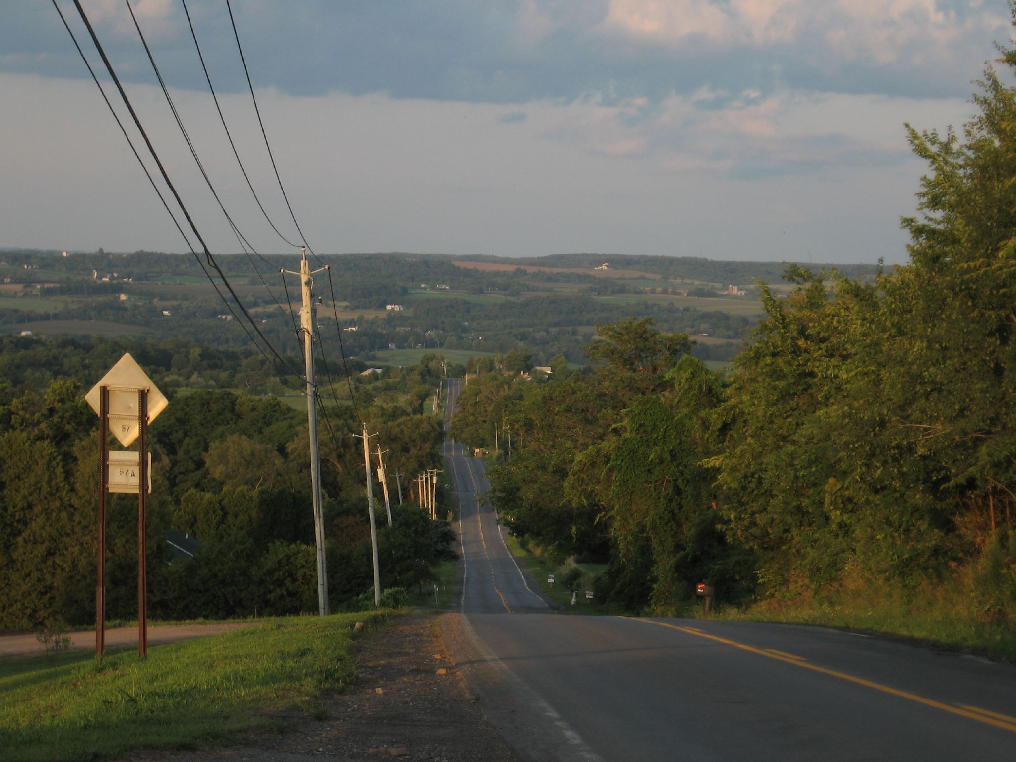
View over Red Hill Road

Former D. L. & W. ROW
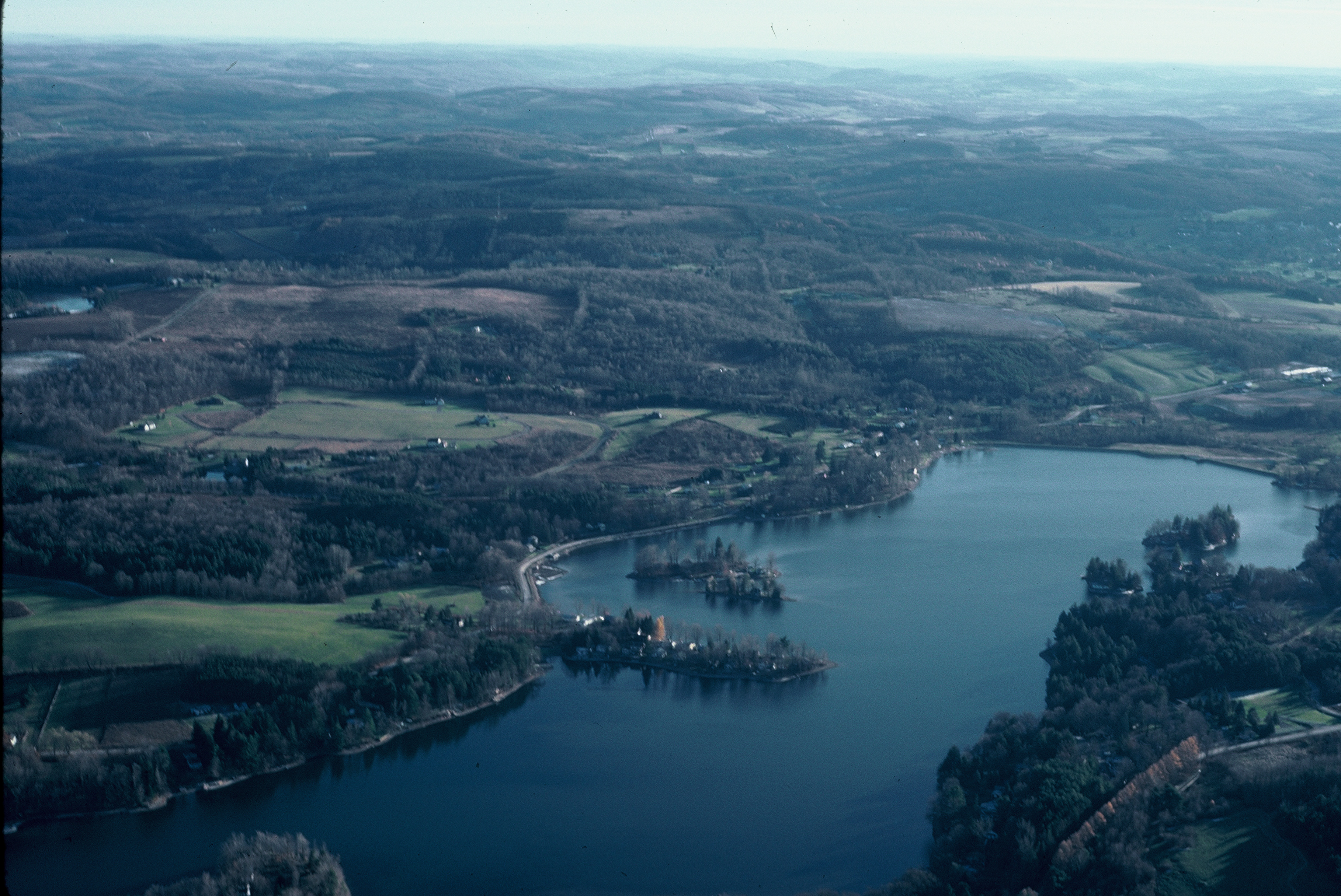
lake Moraine looking S.E.
the airport
the improved airport
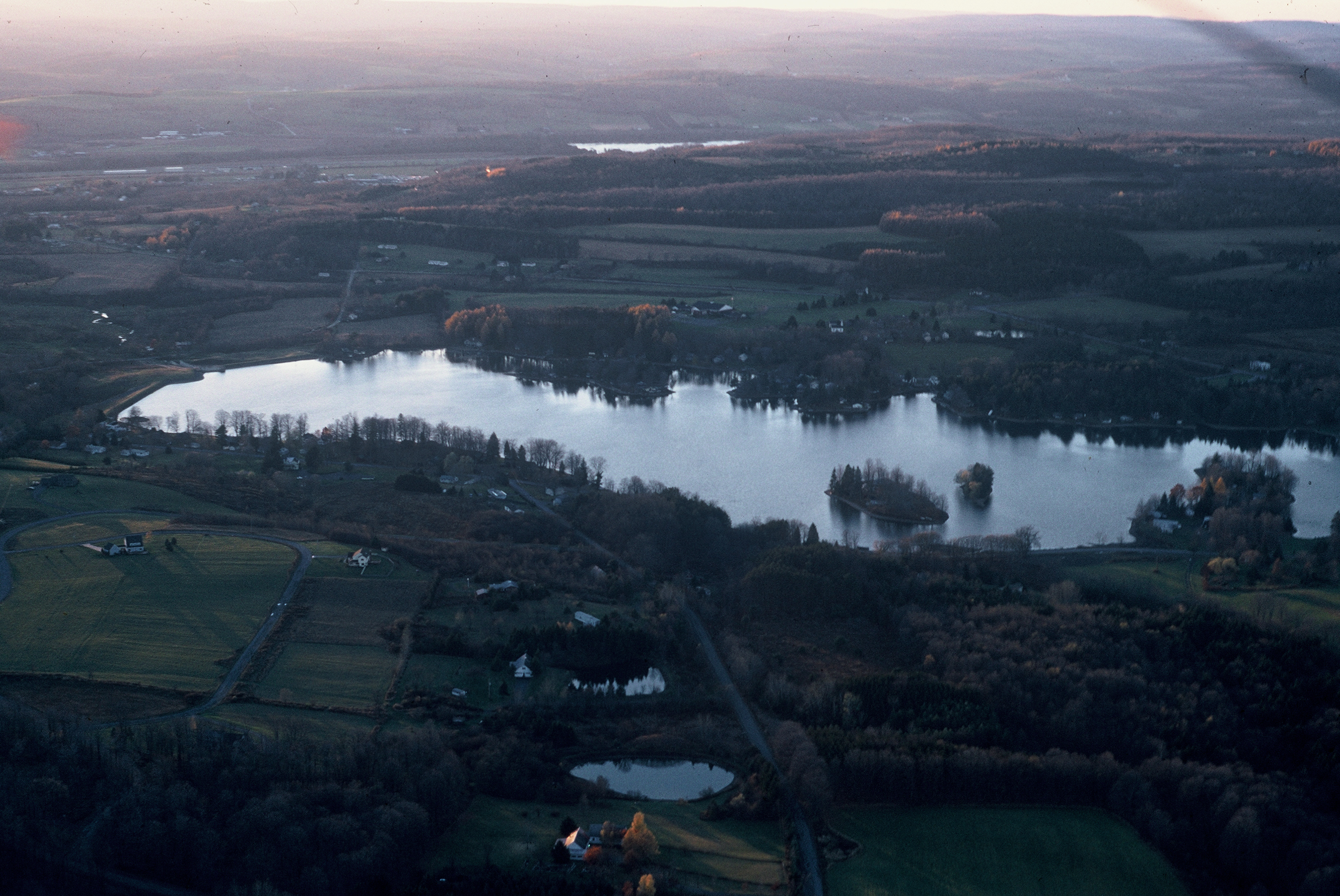
Lake Moraine

You know you live at a high elevation, when hot air balloons go below your view!

Abandoned D. L. & W. RR, Bridgewater, NY
gilman wedding-98

gilman wedding-94

gilman wedding-93

gilman wedding-92

gilman wedding-91

gilman wedding-90

gilman wedding-89

gilman wedding-88

gilman wedding-87

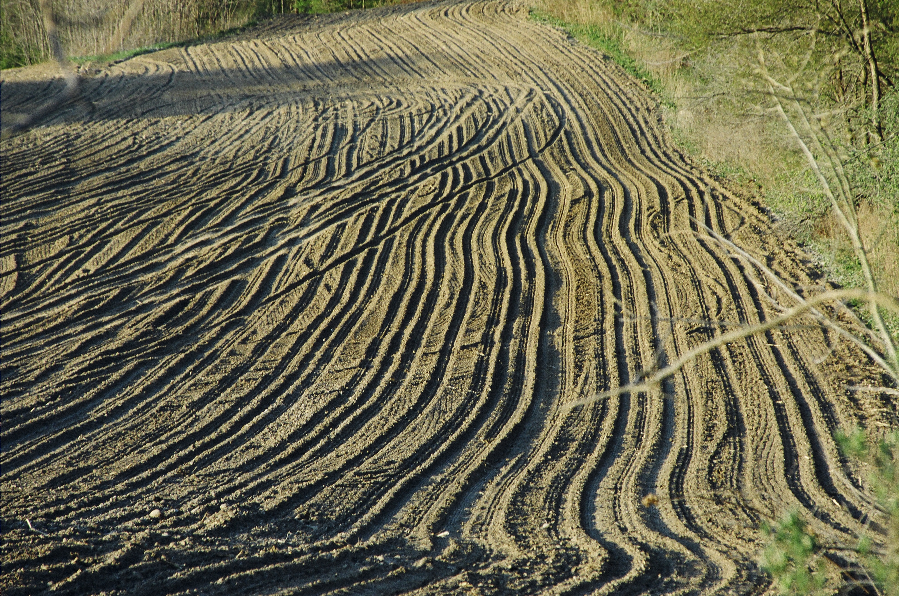
Ploughed Field in Upstate New York
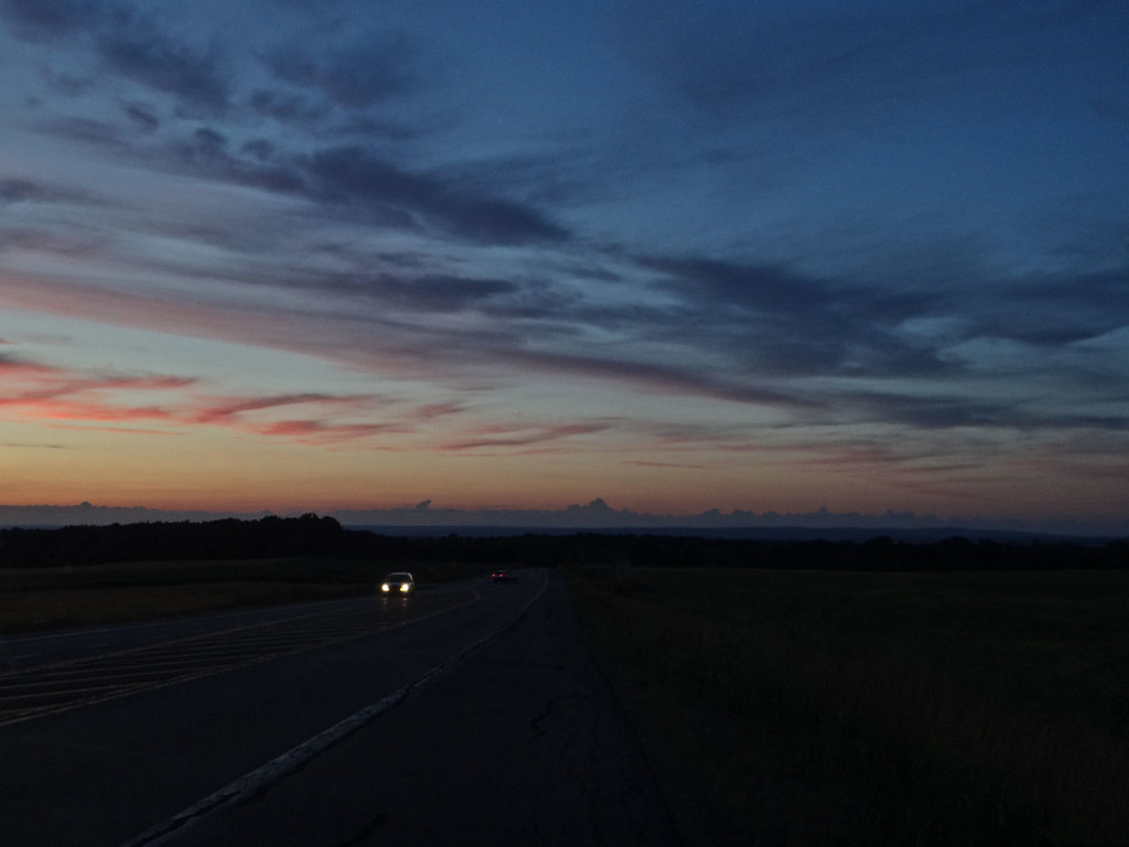
Driving after sunset.
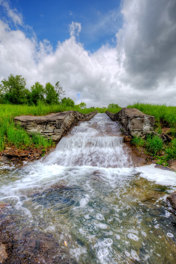
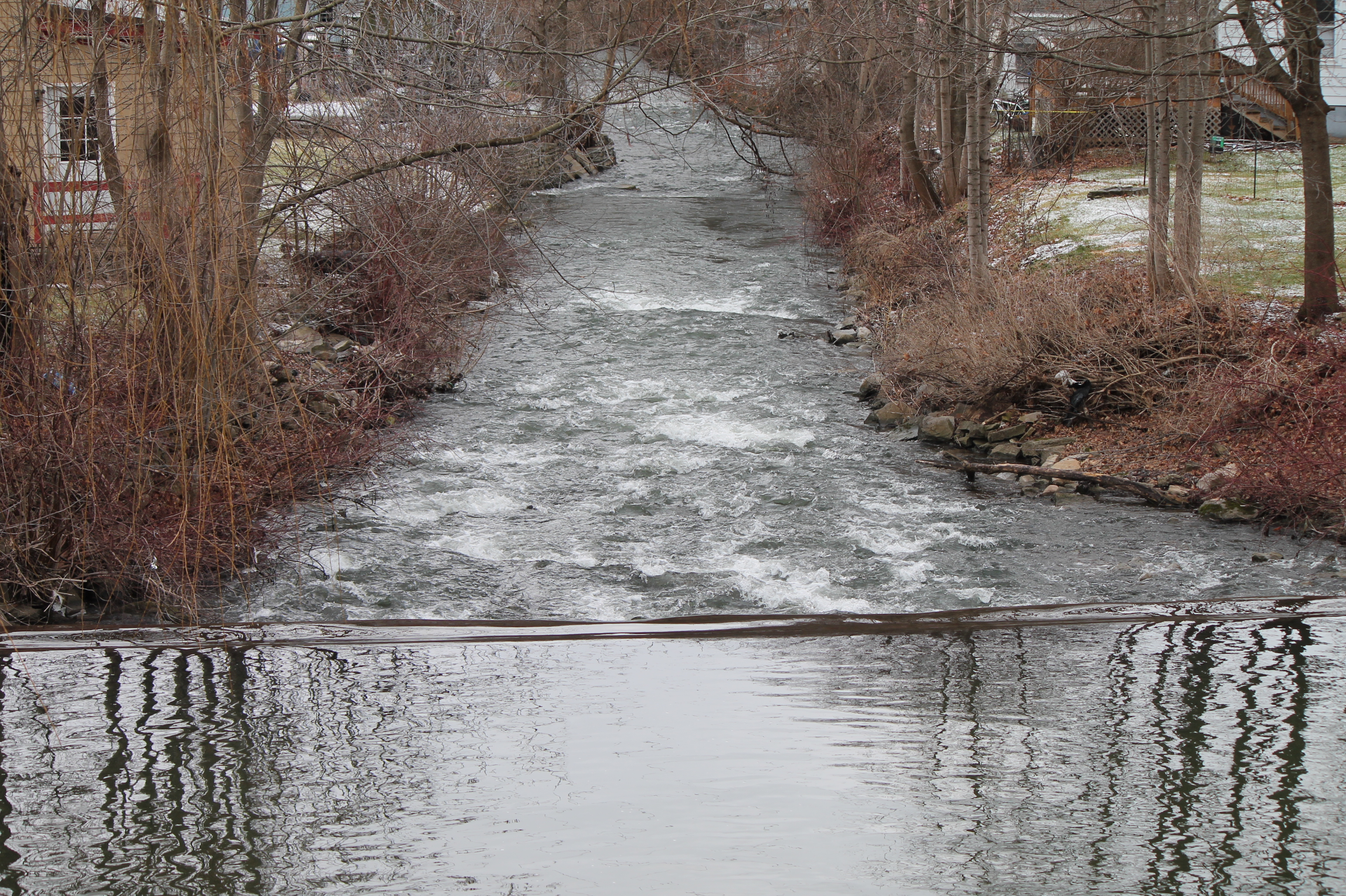
Upstate New York, Water Management
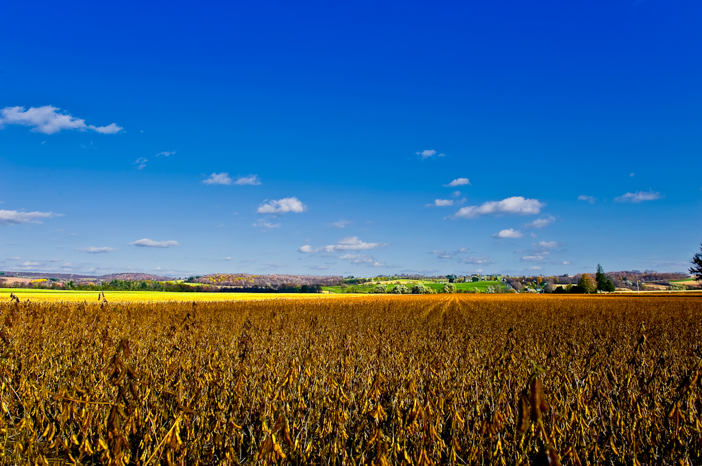
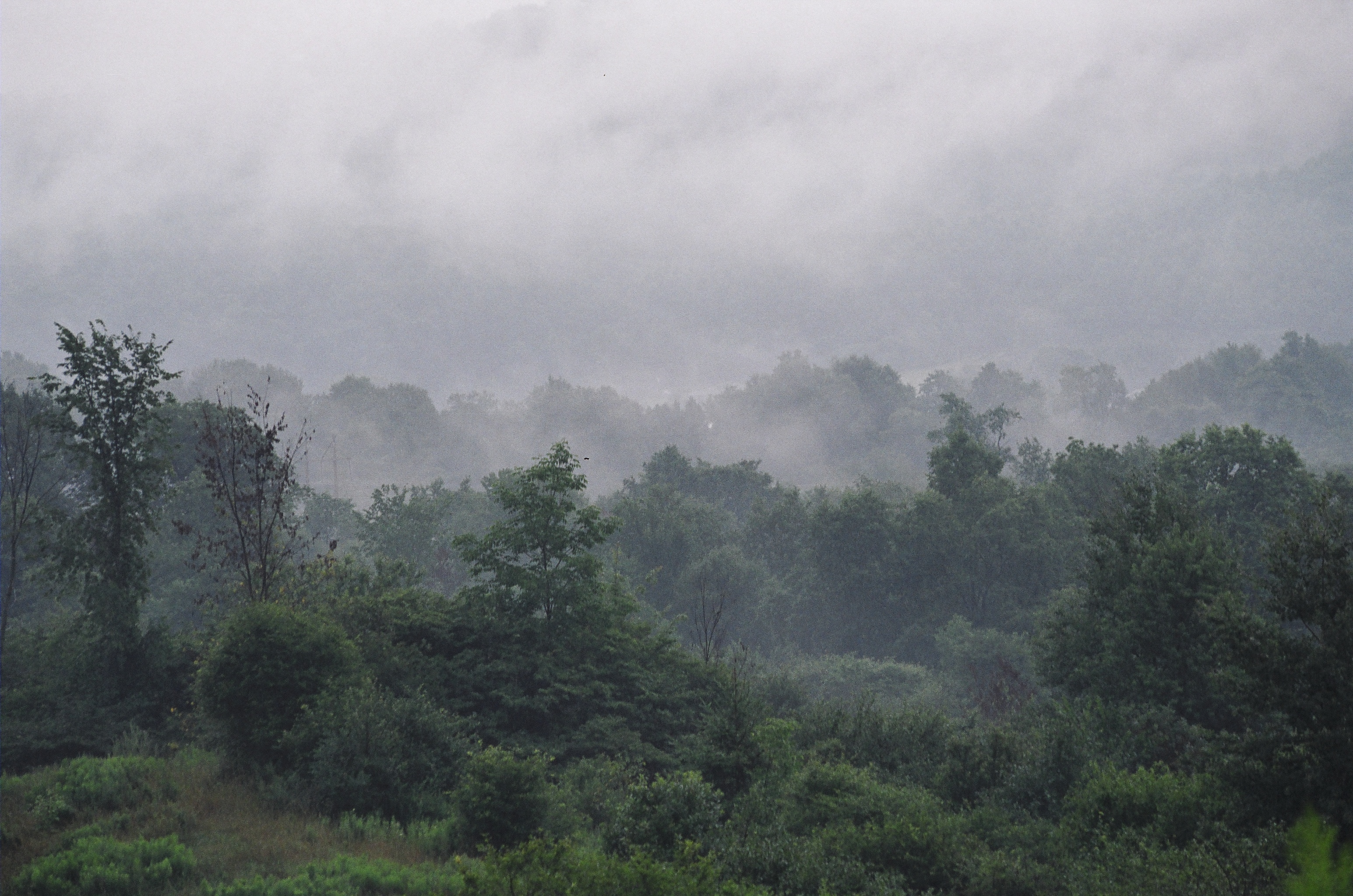
Field & Sky #1

The Grass Whisperer
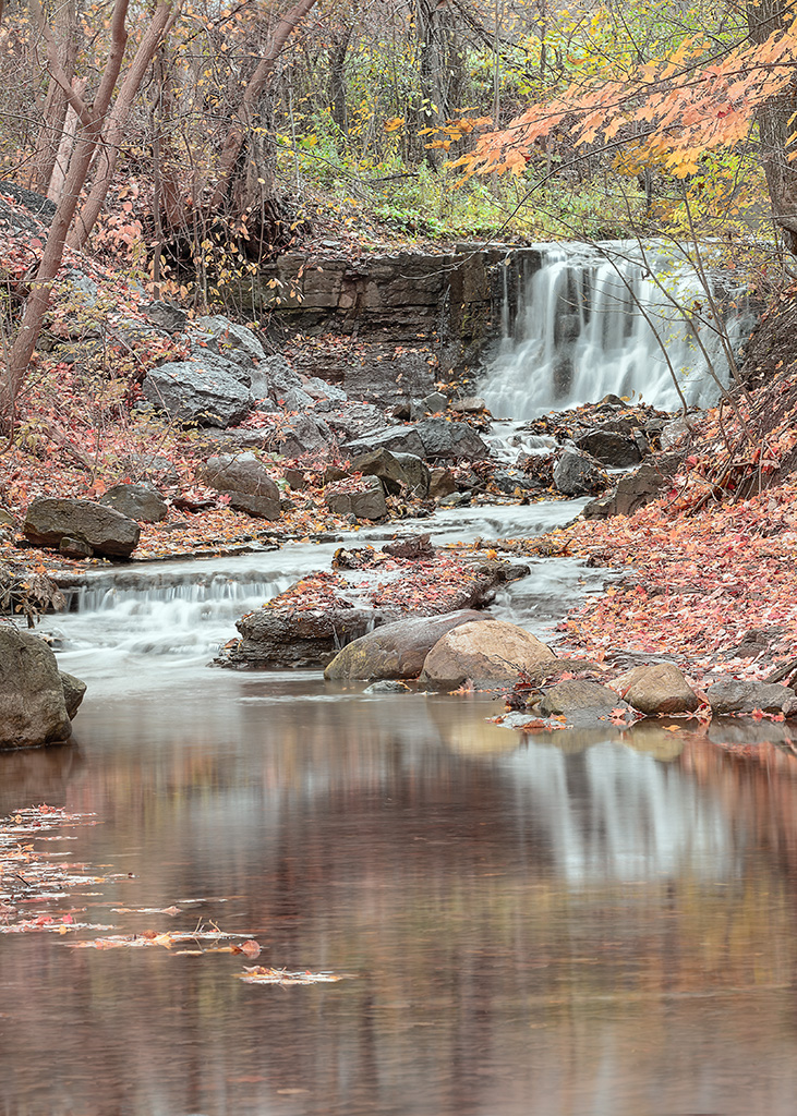
Lower Oriskany Falls
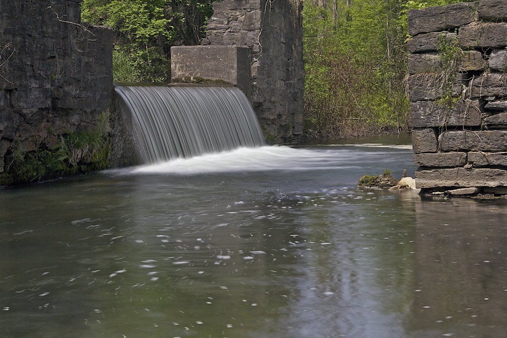
Elm Street Falls

20150528-IMG_2756
Chenango Canal

Along the Skanateles Turnpike
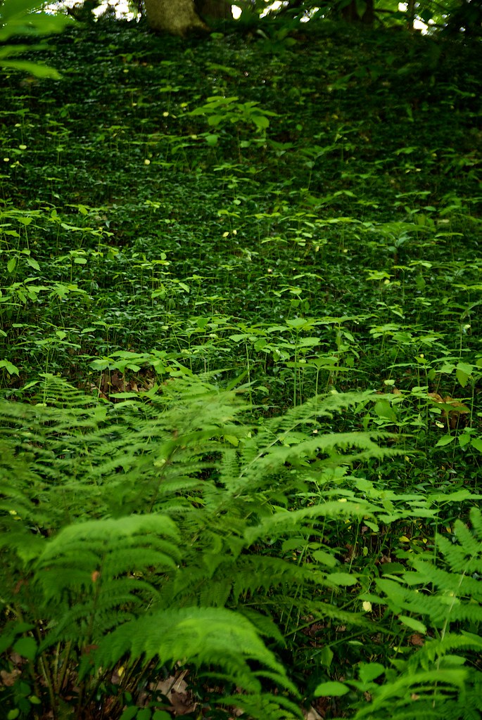
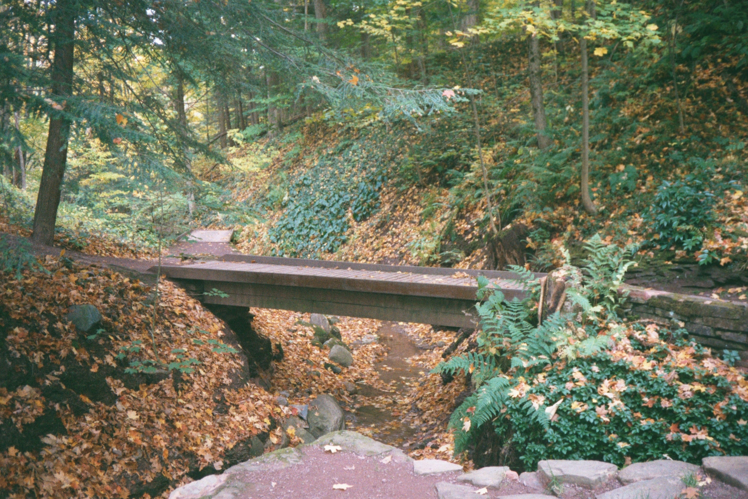
walk through Root Glen

What's on the other side?
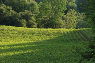
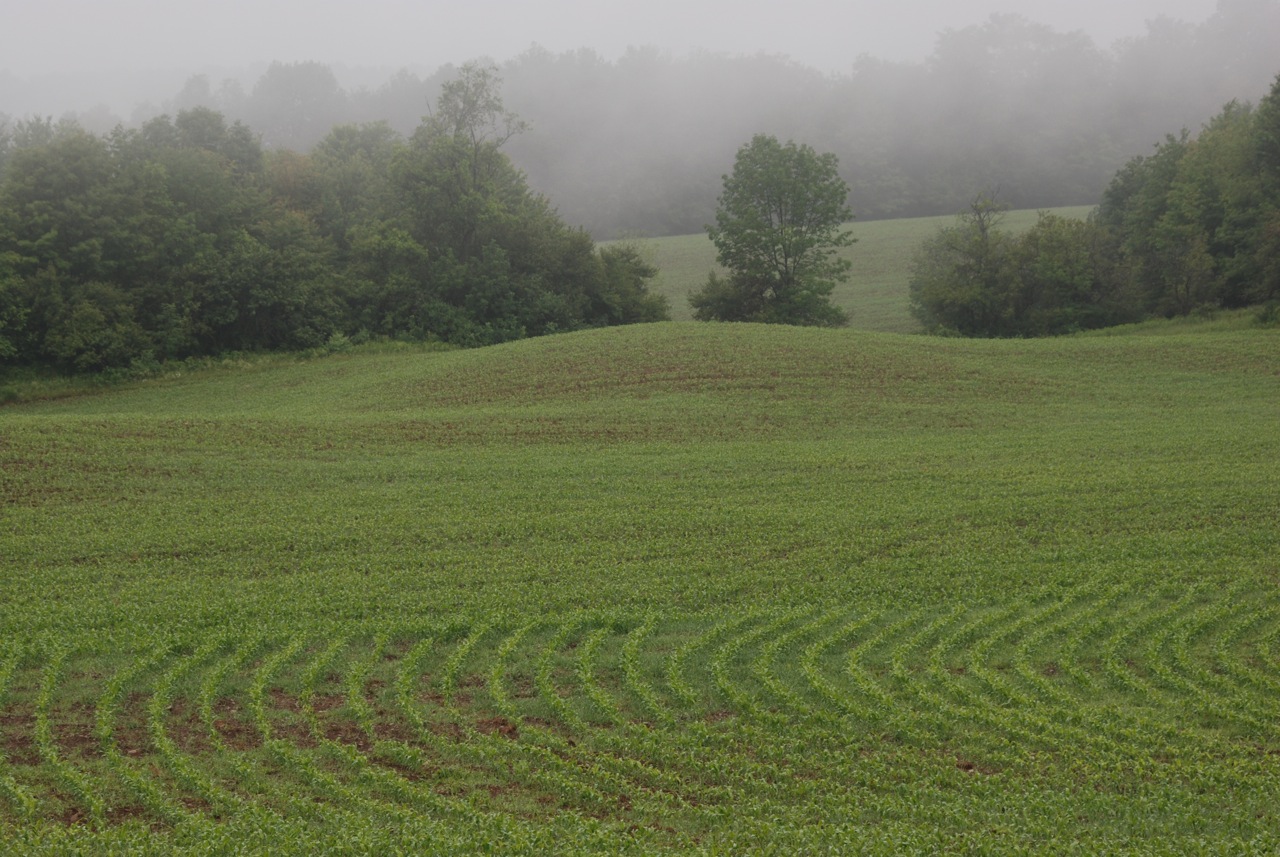
Early Corn
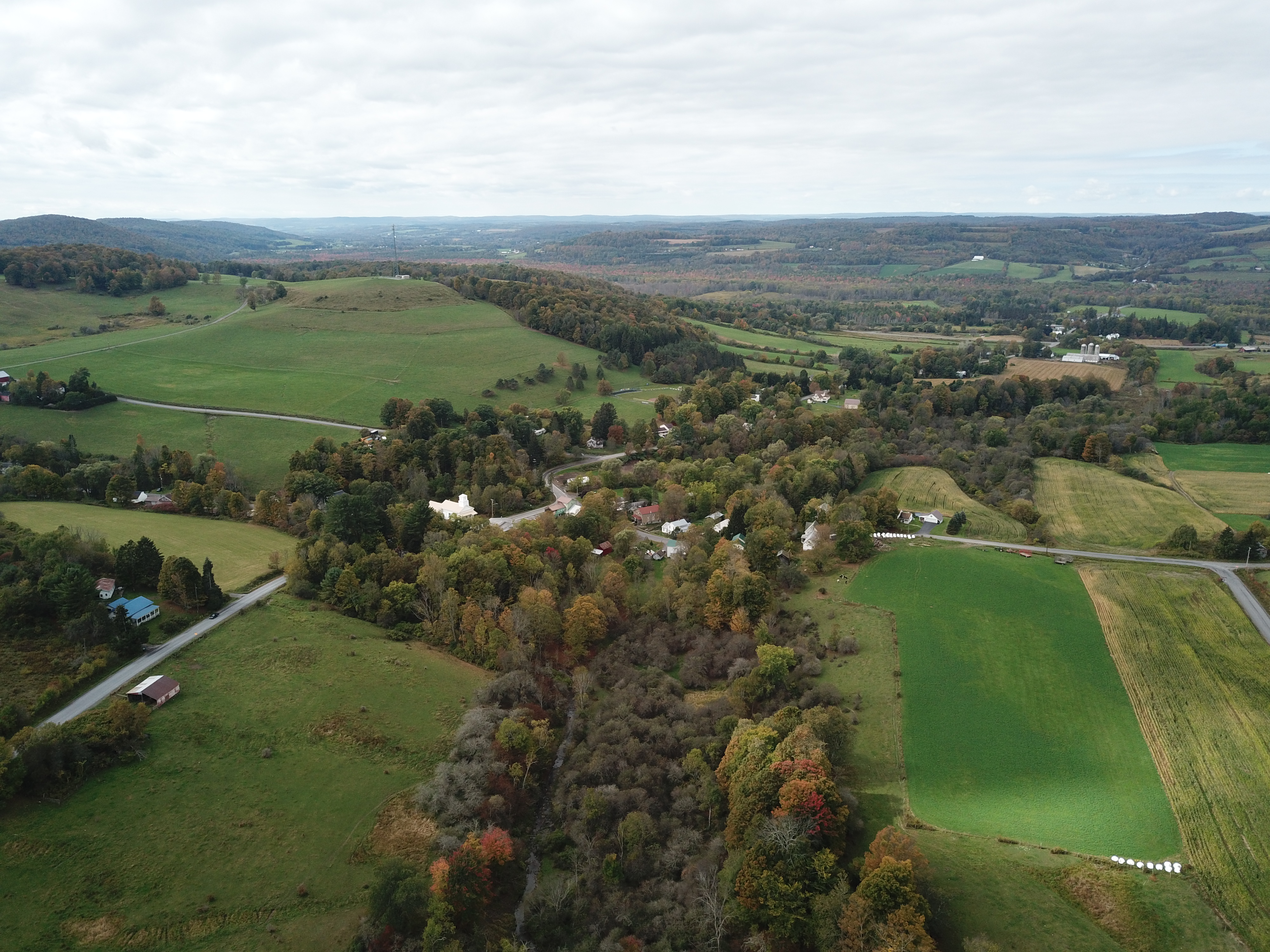
Central New York landscape
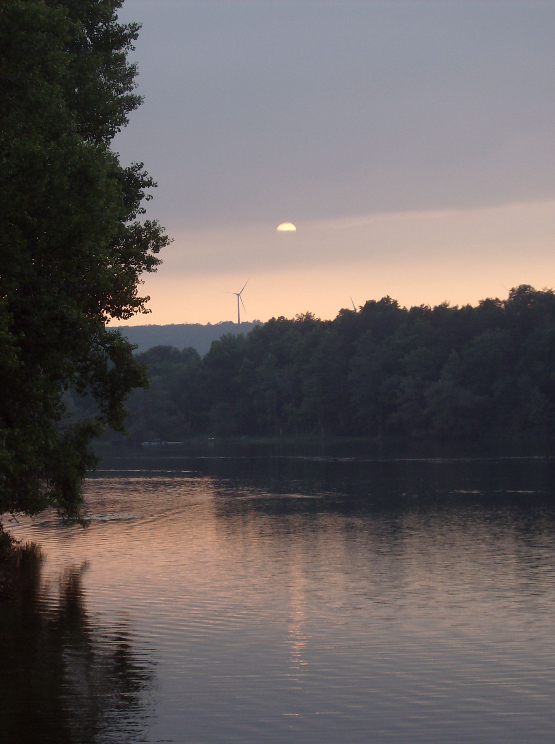
suns sets over windmill over water
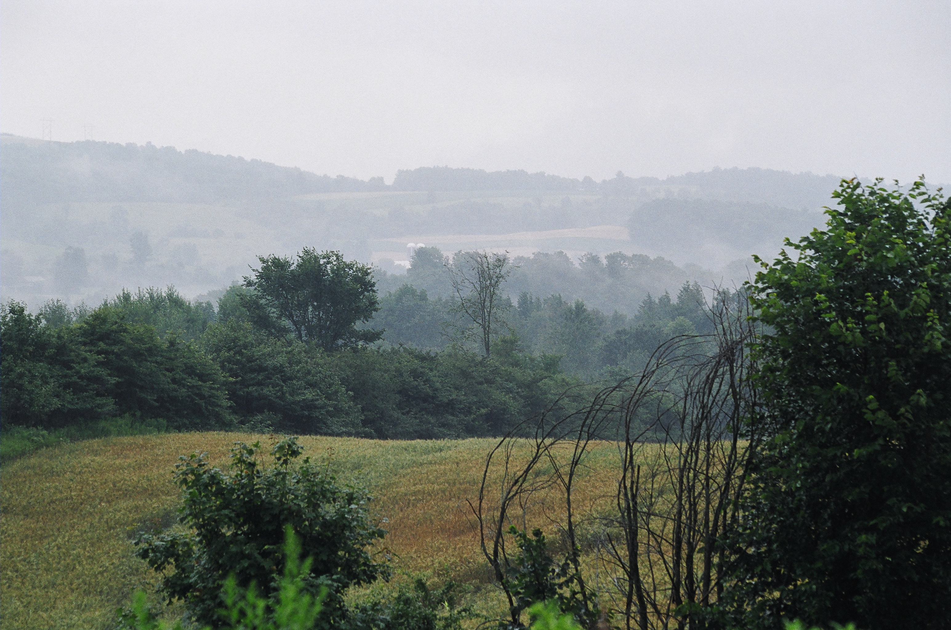
Central New York landscape
Williams Road
North Brookfield, N.Y.

Cherry Hill Camping Area Road
Central New York landscape
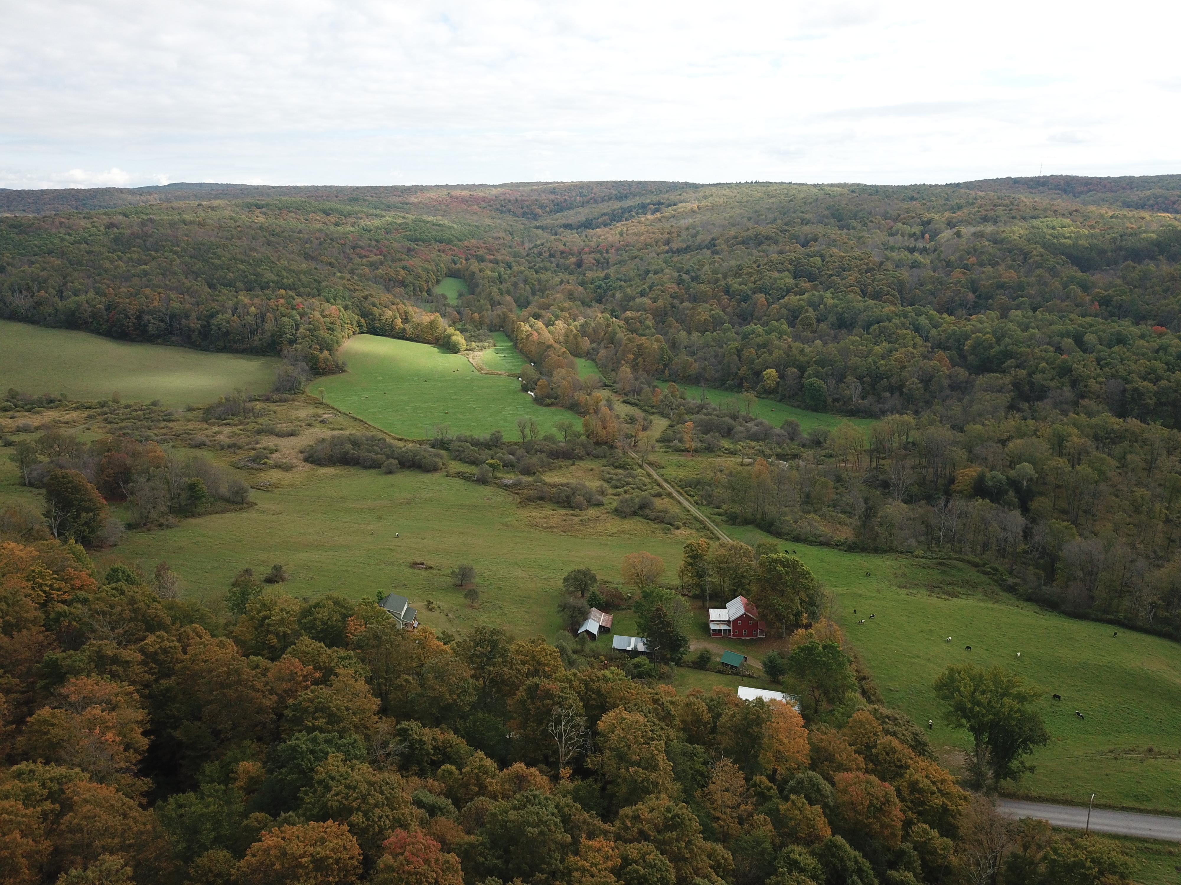
Early fall, in central N.Y. State.
Topographic Map of Sangerfield, NY, USA
Find elevation by address:

Places near Sangerfield, NY, USA:
US-20, Waterville, NY, USA
169 Sanger Ave
Sangerfield
Waterville
W Main St, Waterville, NY, USA
7893 White St
178 Bacon St W
7316 Sanger Hill Rd
Marshall
8516 Canning Factory Rd
Tassel Hill
8087 Shanley Rd
Deansboro
2483 Timian Rd
Paris
Hardscrabble Road
8828 Paris Hill Rd
Kirkland
129 Larson Rd
Skyline Drive
Recent Searches:
- Elevation of Corso Fratelli Cairoli, 35, Macerata MC, Italy
- Elevation of Tallevast Rd, Sarasota, FL, USA
- Elevation of 4th St E, Sonoma, CA, USA
- Elevation of Black Hollow Rd, Pennsdale, PA, USA
- Elevation of Oakland Ave, Williamsport, PA, USA
- Elevation of Pedrógão Grande, Portugal
- Elevation of Klee Dr, Martinsburg, WV, USA
- Elevation of Via Roma, Pieranica CR, Italy
- Elevation of Tavkvetili Mountain, Georgia
- Elevation of Hartfords Bluff Cir, Mt Pleasant, SC, USA