Elevation of Bacon St W, Waterville, NY, USA
Location: United States > New York > Oneida County > Sangerfield > Waterville >
Longitude: -75.377766
Latitude: 42.9353533
Elevation: 375m / 1230feet
Barometric Pressure: 97KPa
Elevation Map:
Satellite Map:
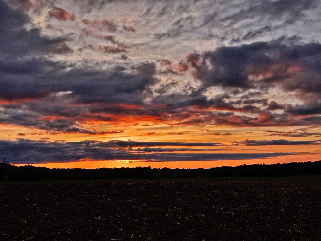
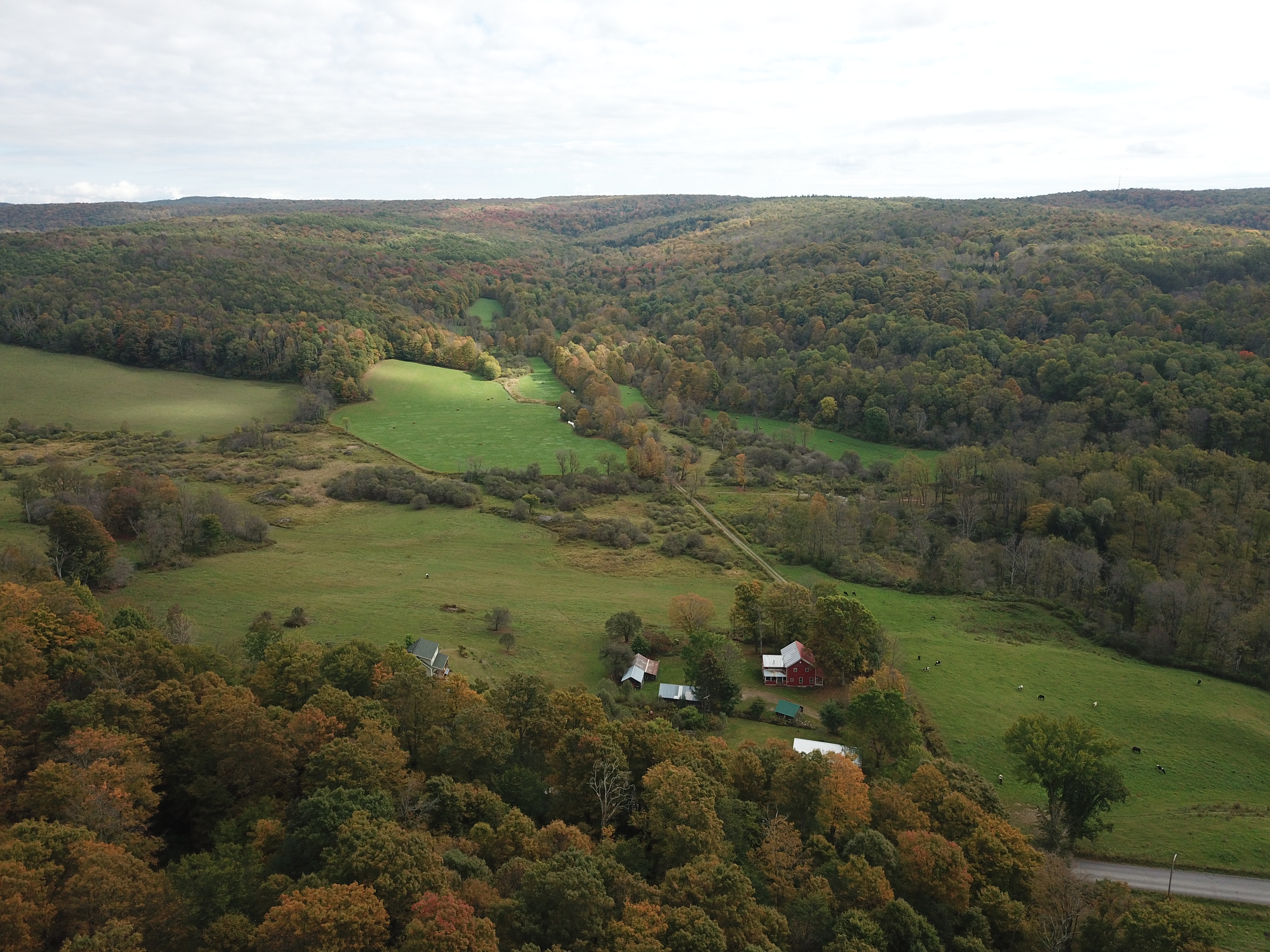
Related Photos:

Waterville Brick House

The View

Queen Anne Victorian

lake Moraine looking S.E.
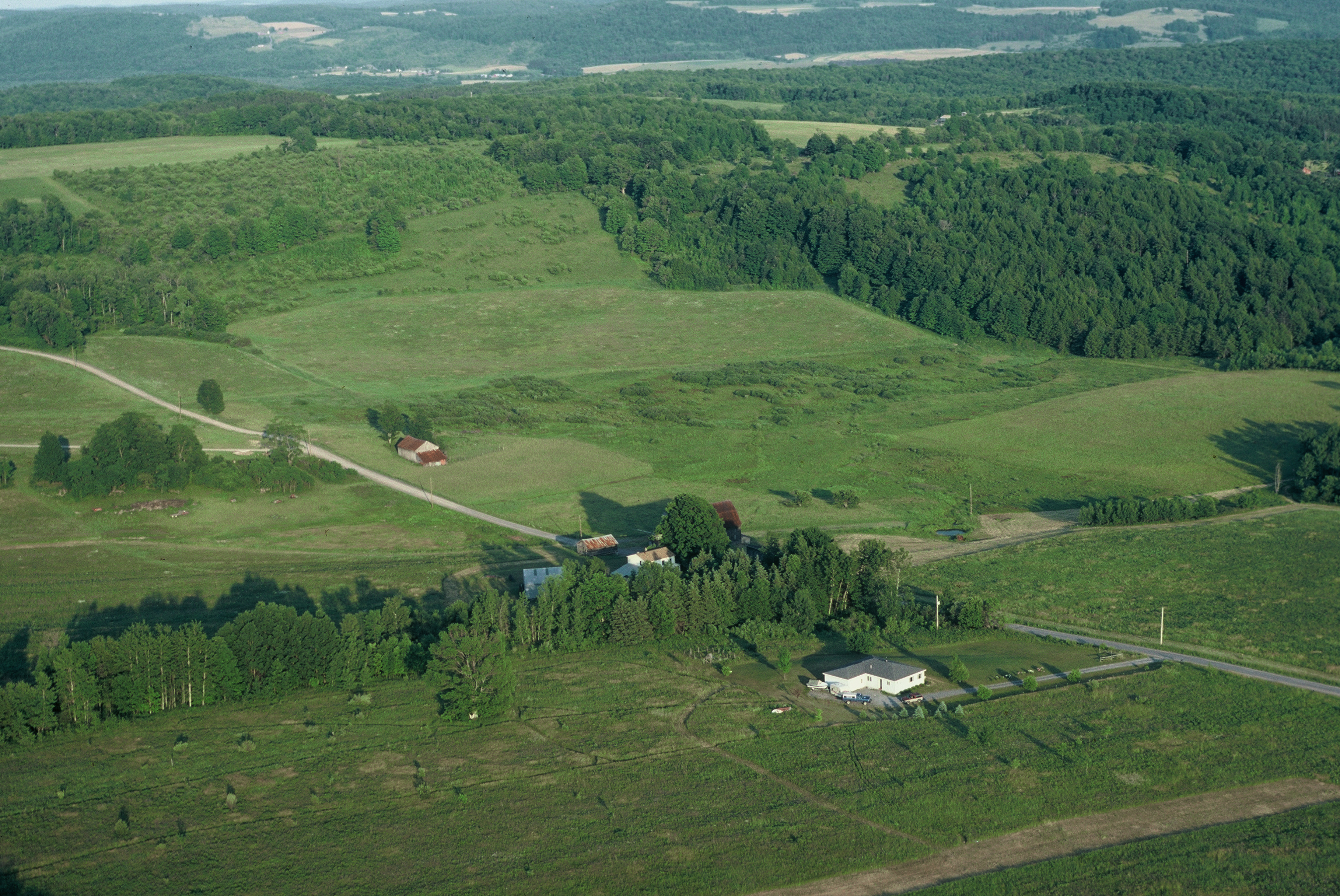
the improved airport

the airport

Former D. L. & W. ROW
Abandoned D. L. & W. RR, Bridgewater, NY

Valley Panoramic

gilman wedding-81

Lake Moraine

Hamilton College

gilman wedding-98

gilman wedding-87

gilman wedding-19

gilman wedding-21

gilman wedding-78

gilman wedding-74

gilman wedding-76

gilman wedding-29

gilman wedding-34

Spokey Open Area of the Swamp

Open Meadow

Sangerfield River in Madison County, N.Y.
Good night David!

End of the day..

Driving after sunset.

Rotational grazing in Madison County, N.Y.

Ploughed Field in Upstate New York

North Brookfield, N.Y.
Early fall, in central N.Y. State.

Field HDR

Sunset 23 Aug 15

Boat Ramp

Abandoned D. L. & W. ROW, Richfield Springs Branch

Heading Up to the Tip of the Lake

DEC Boat Launch

Sangerfield River in Madison County, N.Y.

Hiking Up an Ice Covered Murphy Road

Peering Down Into Beaver Creek Valley
Topographic Map of Bacon St W, Waterville, NY, USA
Find elevation by address:

Places near Bacon St W, Waterville, NY, USA:
Waterville
W Main St, Waterville, NY, USA
169 Sanger Ave
7893 White St
Sangerfield
US-20, Waterville, NY, USA
7316 Sanger Hill Rd
Sangerfield
Marshall
8516 Canning Factory Rd
Tassel Hill
8087 Shanley Rd
Deansboro
Paris
2483 Timian Rd
Kirkland
8828 Paris Hill Rd
205 St Marys Ave
Skyline Drive
Skyline Drive
Recent Searches:
- Elevation of Corso Fratelli Cairoli, 35, Macerata MC, Italy
- Elevation of Tallevast Rd, Sarasota, FL, USA
- Elevation of 4th St E, Sonoma, CA, USA
- Elevation of Black Hollow Rd, Pennsdale, PA, USA
- Elevation of Oakland Ave, Williamsport, PA, USA
- Elevation of Pedrógão Grande, Portugal
- Elevation of Klee Dr, Martinsburg, WV, USA
- Elevation of Via Roma, Pieranica CR, Italy
- Elevation of Tavkvetili Mountain, Georgia
- Elevation of Hartfords Bluff Cir, Mt Pleasant, SC, USA