Elevation of Sanger Hill Rd, Waterville, NY, USA
Location: United States > New York > Oneida County > Sangerfield > Waterville >
Longitude: -75.402602
Latitude: 42.930191
Elevation: 377m / 1237feet
Barometric Pressure: 97KPa
Elevation Map:
Satellite Map:
Related Photos:
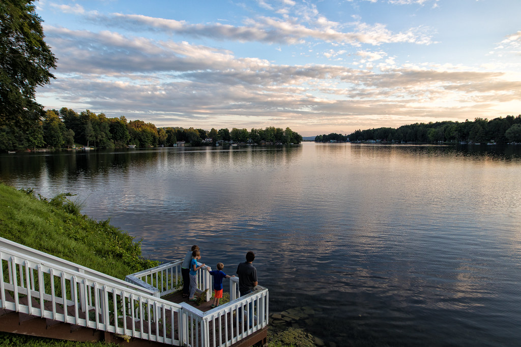
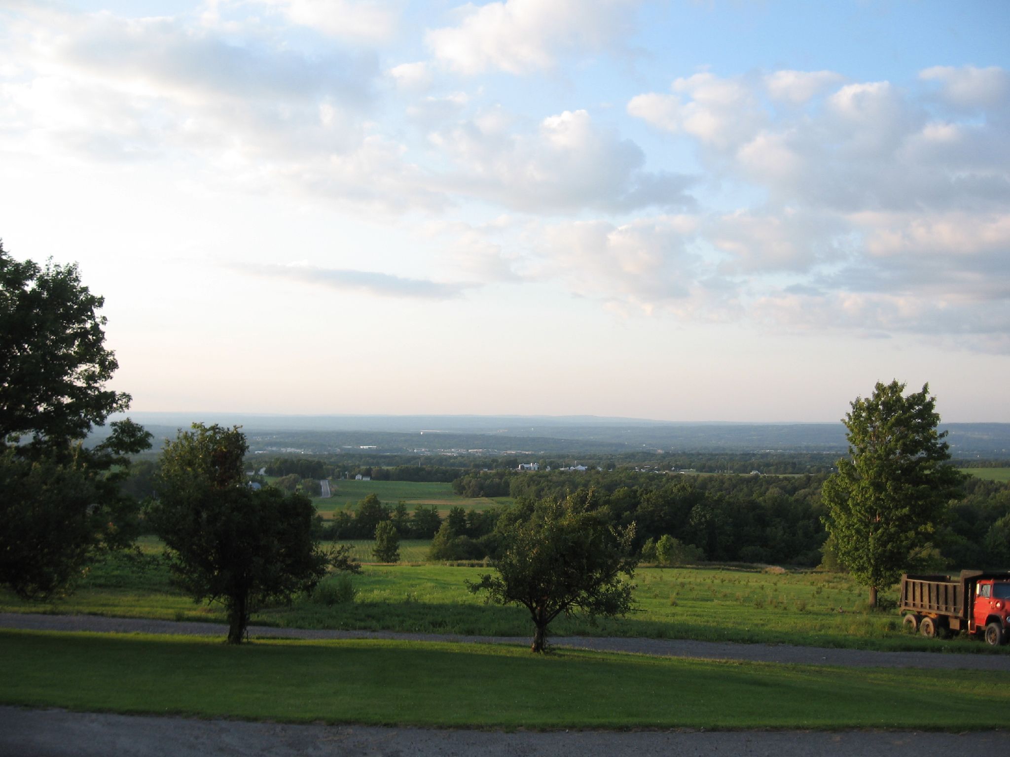
The View
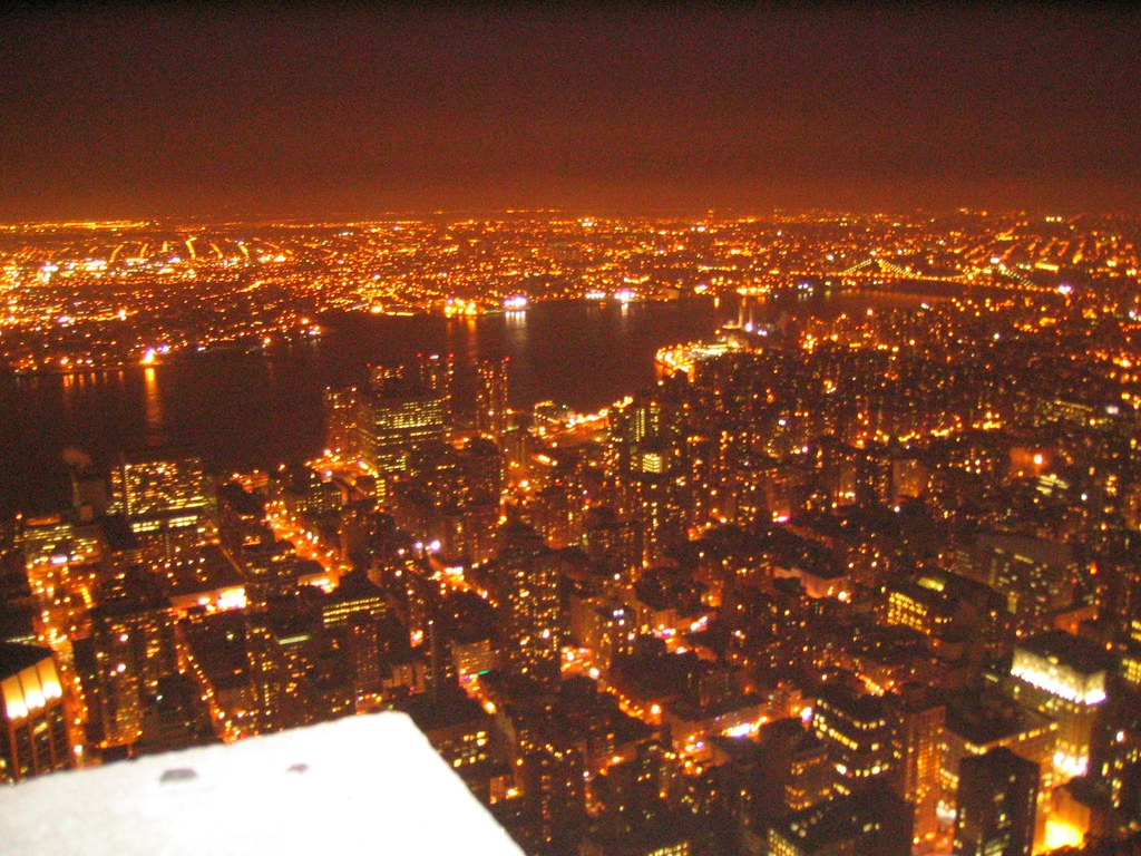
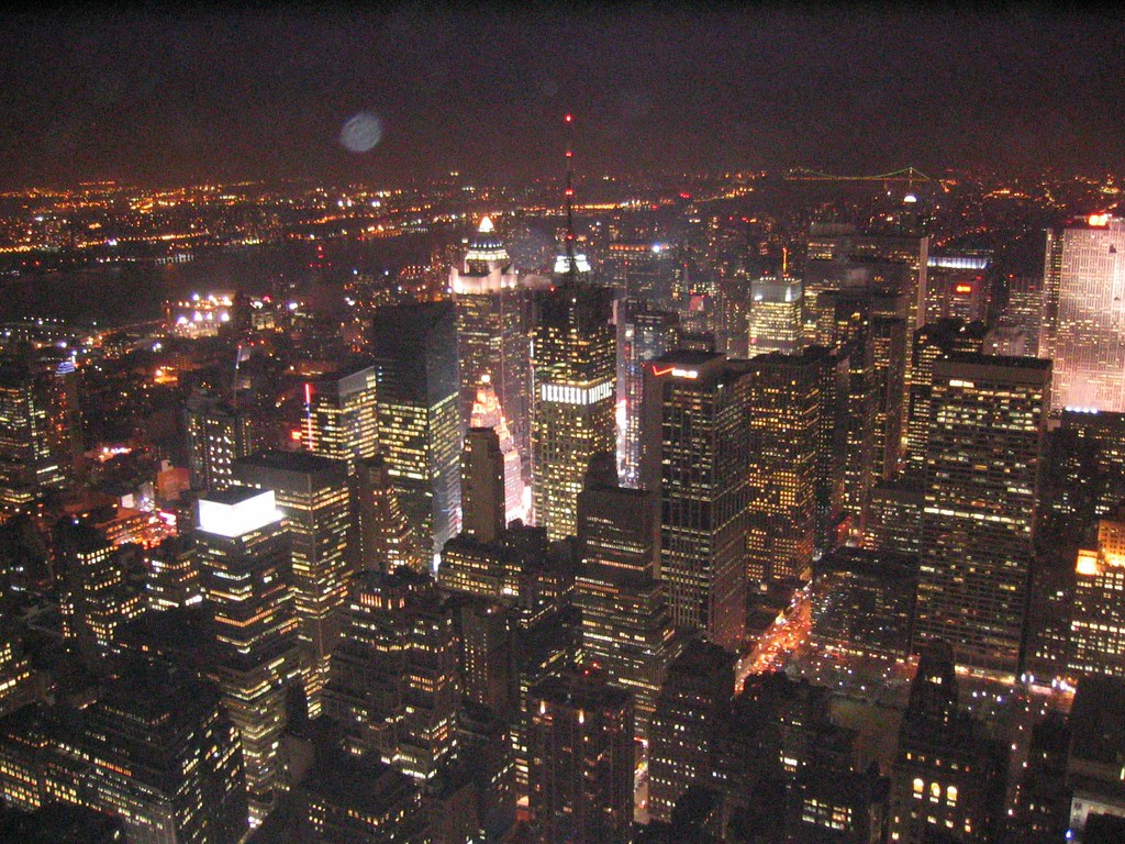
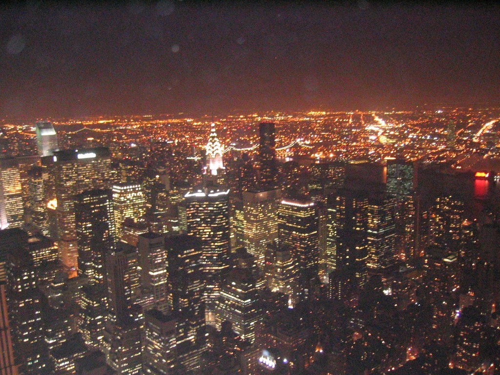
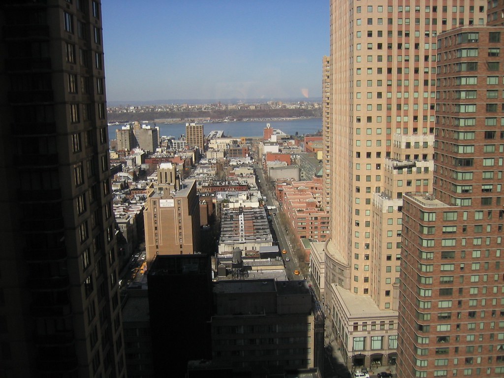
New York - Empire State Building View 1
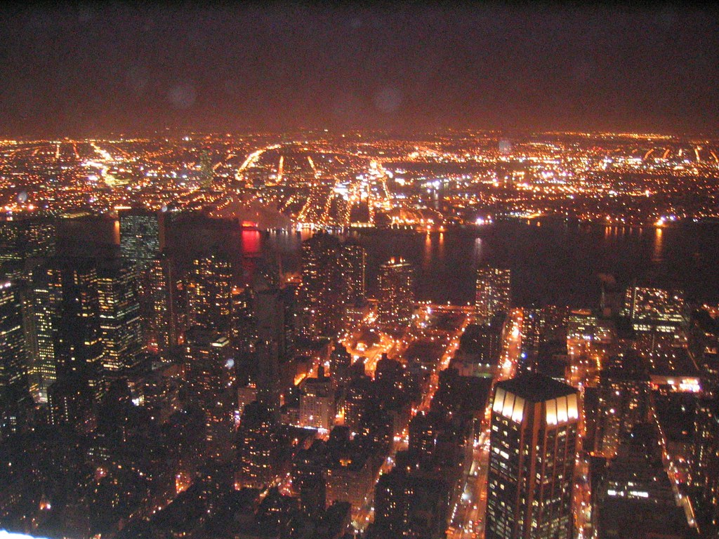
New York - Empire State Building View 2

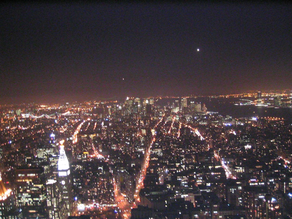
New York - Empire State Building View 117_1782

New York - Empire State Building View - GE Building 1
New York - Empire State Building View 7

Midtown view

New York - Empire State Building View - Chrysler Building 3
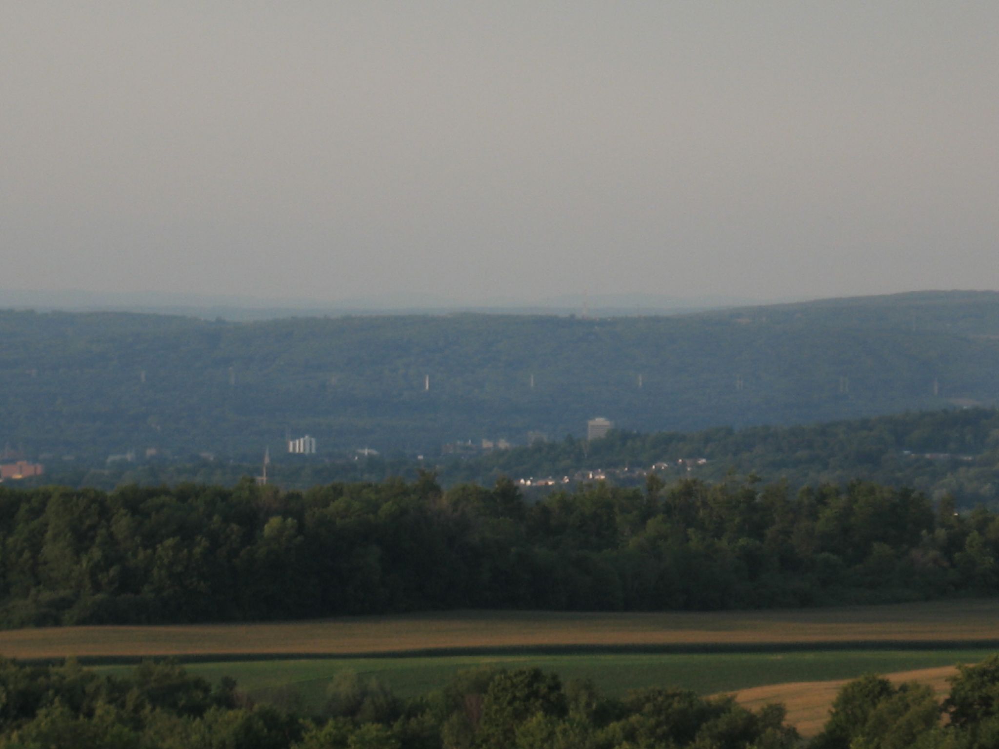
View from Red Hill Road

New York - Empire State Building View 3
New York - Empire State Building View 4

gilman wedding-45
View from Red Hill Road

gilman wedding-84
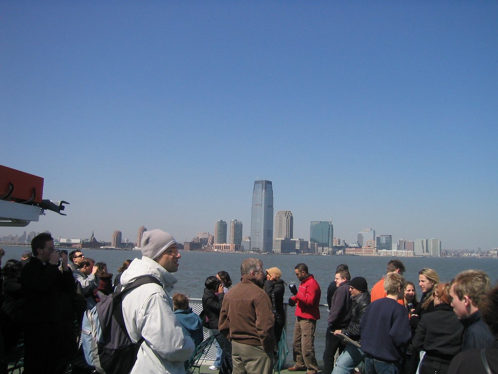
New York City - Ferry - View of Manhattan 3

gilman wedding-42

gilman wedding-92
New York - Empire State Building View - Chrysler Building 1

gilman wedding-61
New York City - View from Crowne Plaza Times Square Hotel

gilman wedding-44

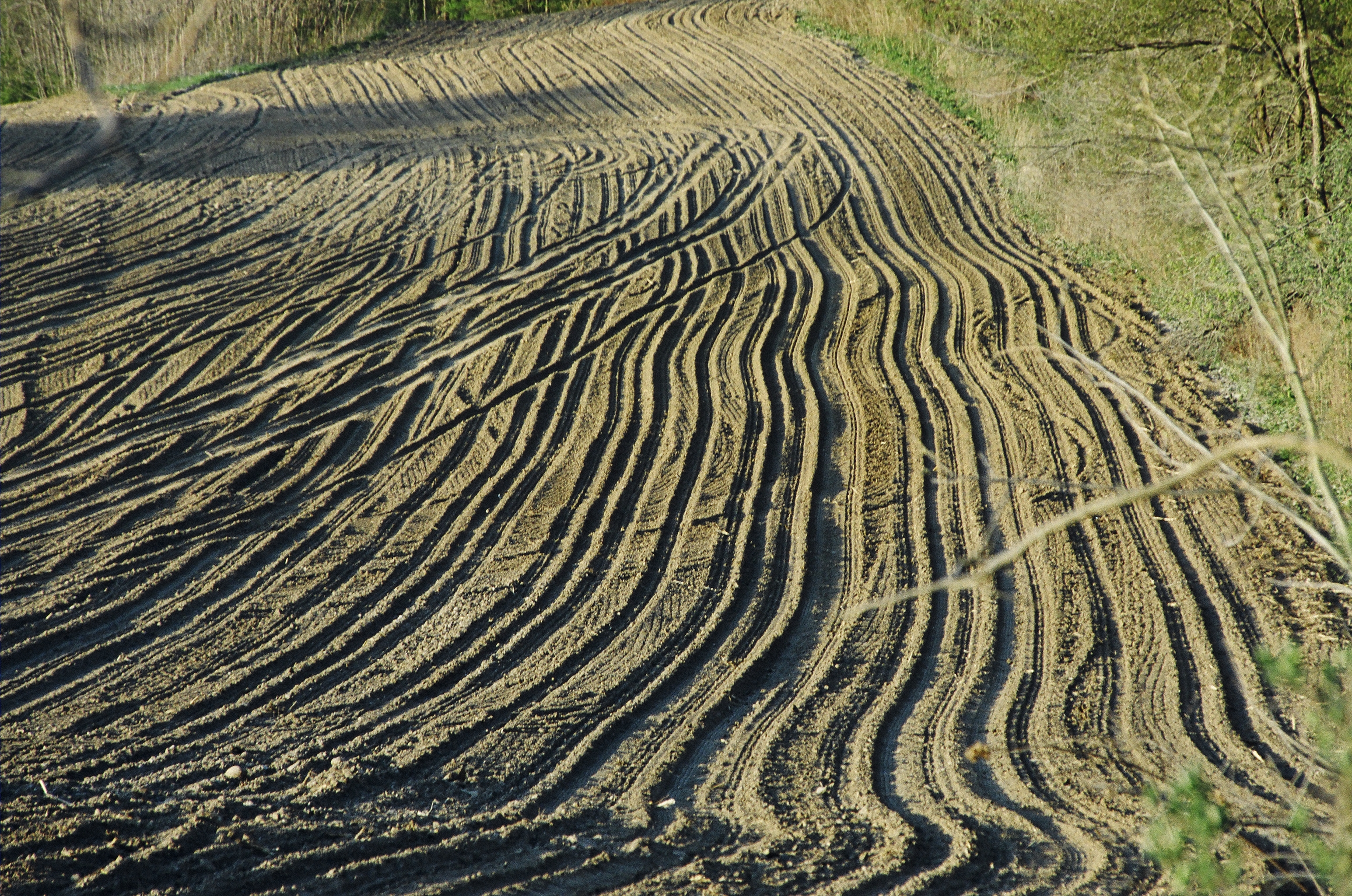
Ploughed Field in Upstate New York
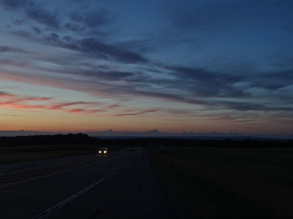
Driving after sunset.
Lower Oriskany Falls

Amish Herd
Desaturated Sky

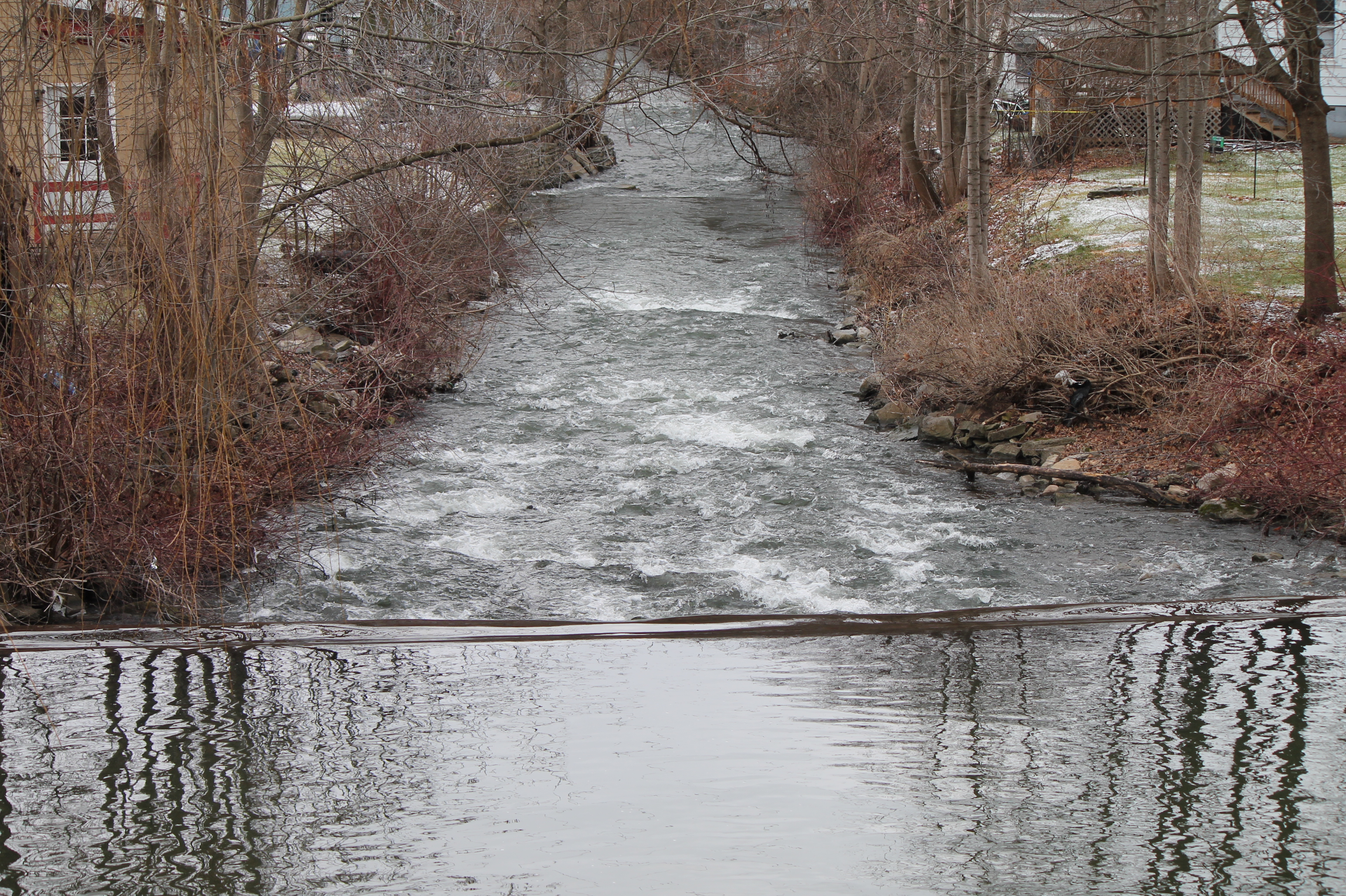
Sangerfield River in Madison County, N.Y.
Chenango Canal
The last rays
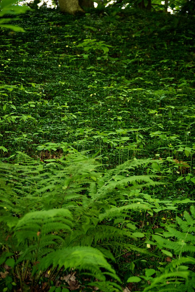
walk through Root Glen
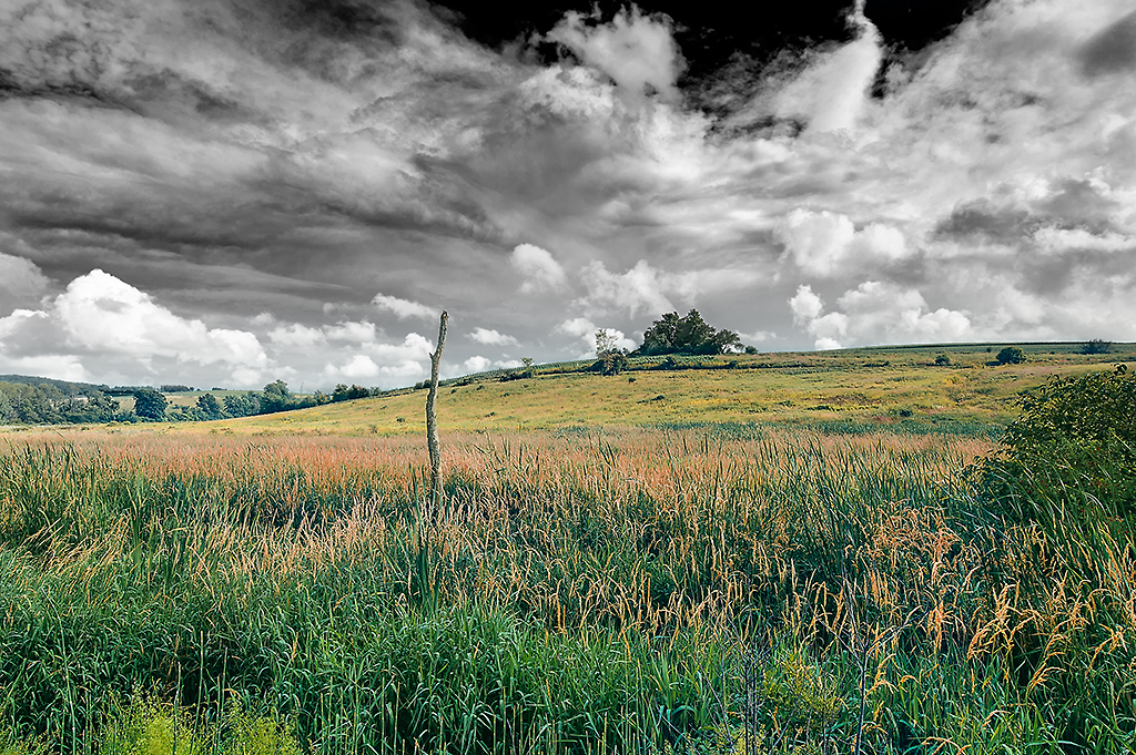
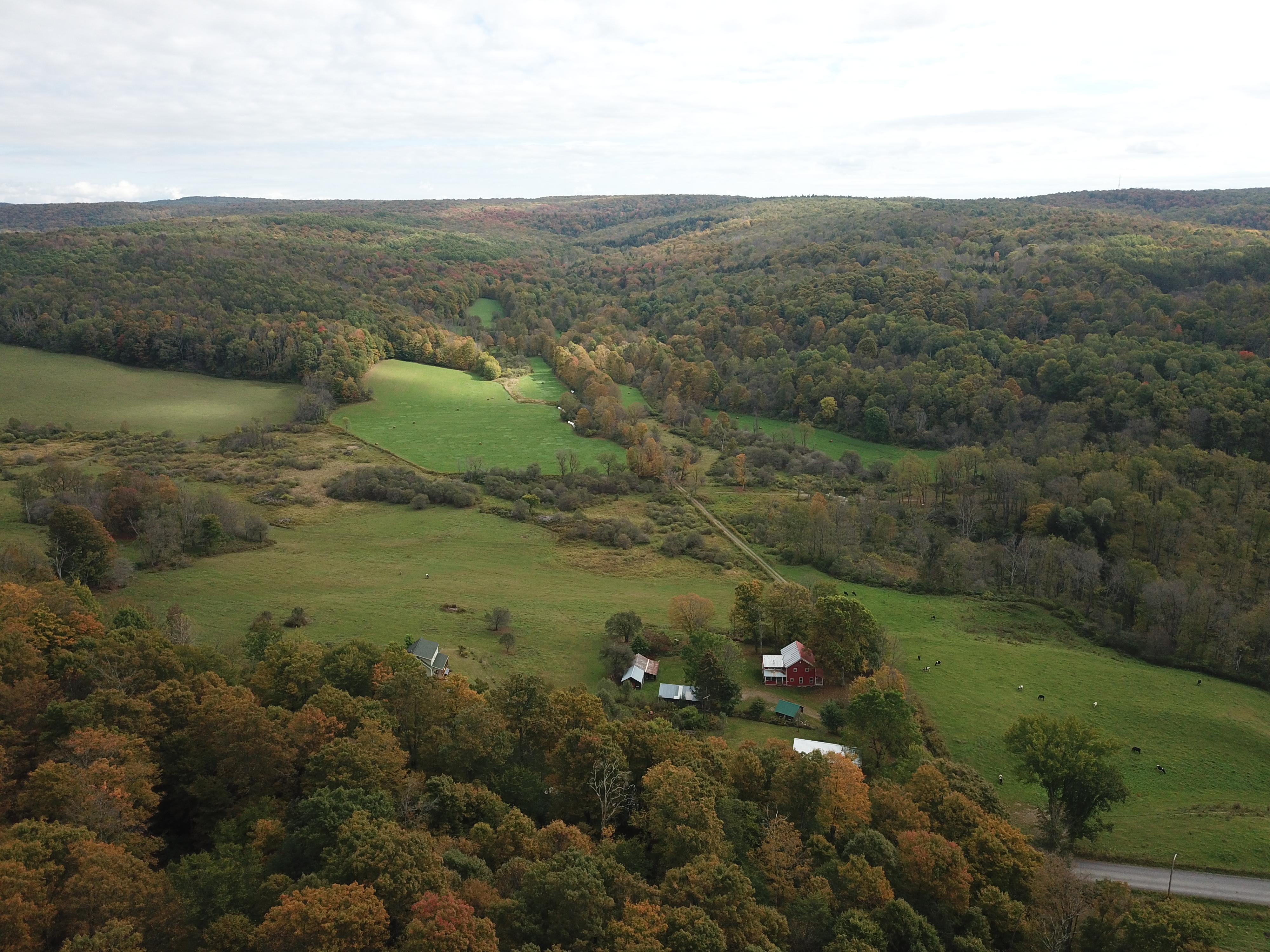
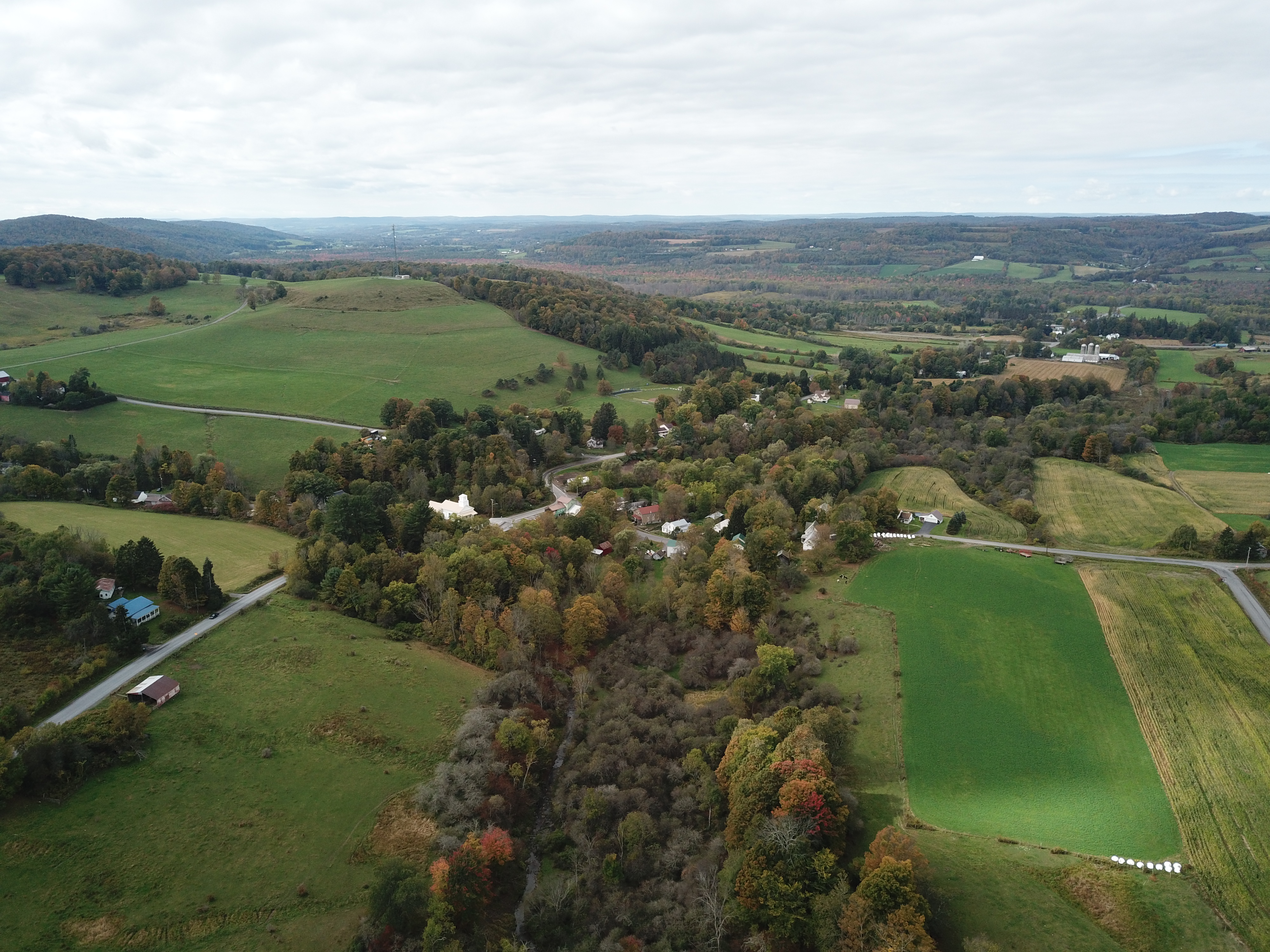
Central New York landscape

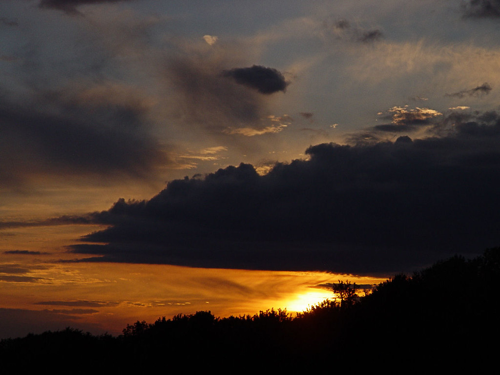
Sunset over Chuckery Corners
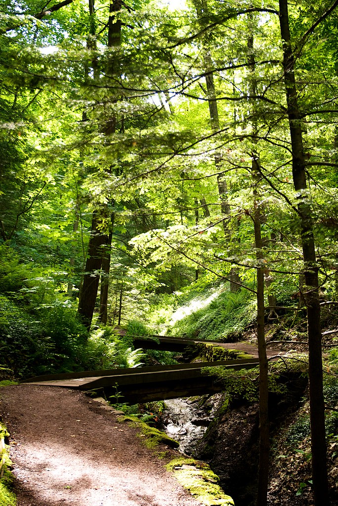
walk through Root Glen
Early fall, in central N.Y. State.
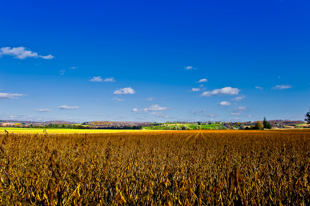
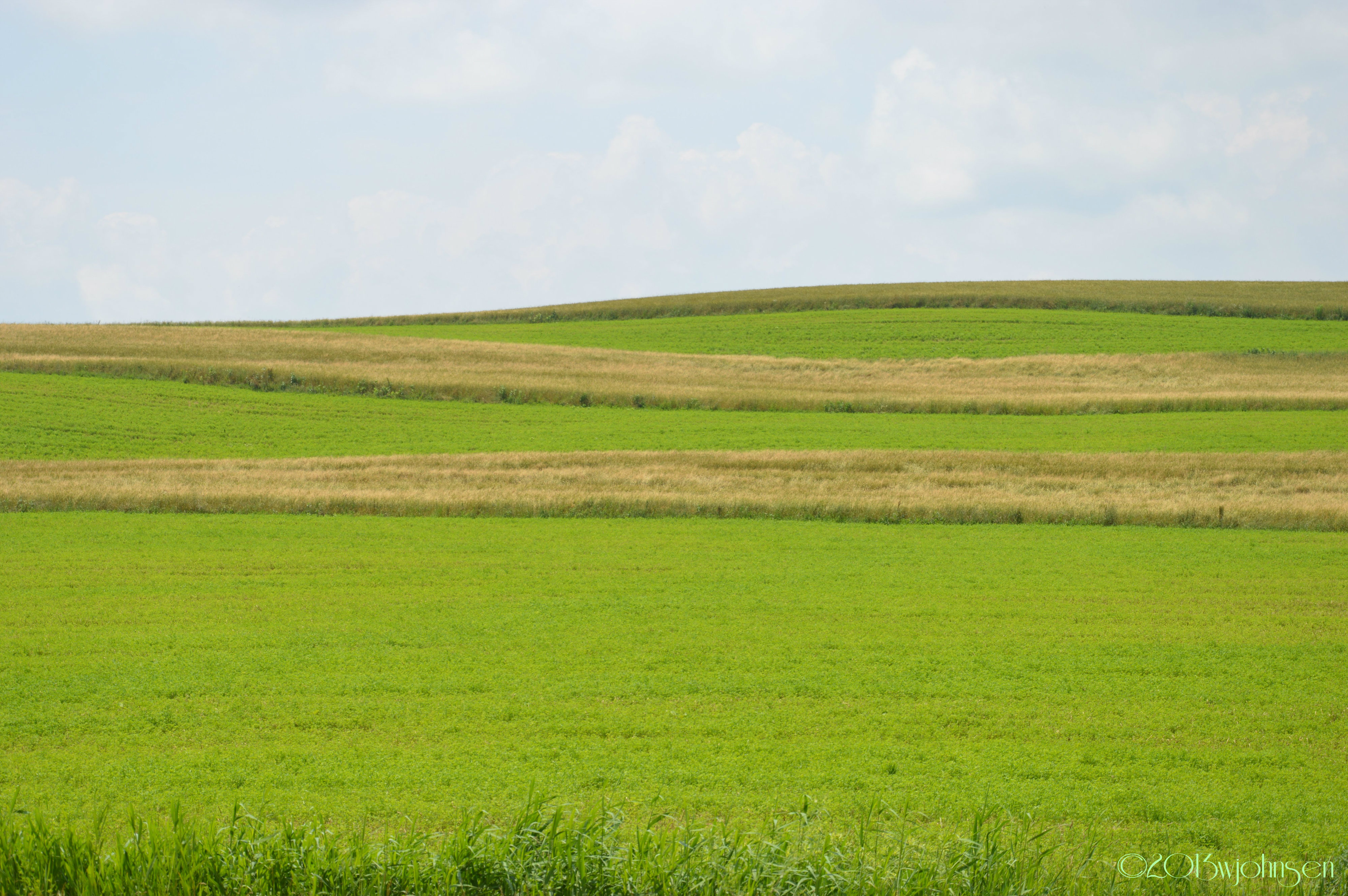
Field & Sky #1

Spokey Open Area of the Swamp
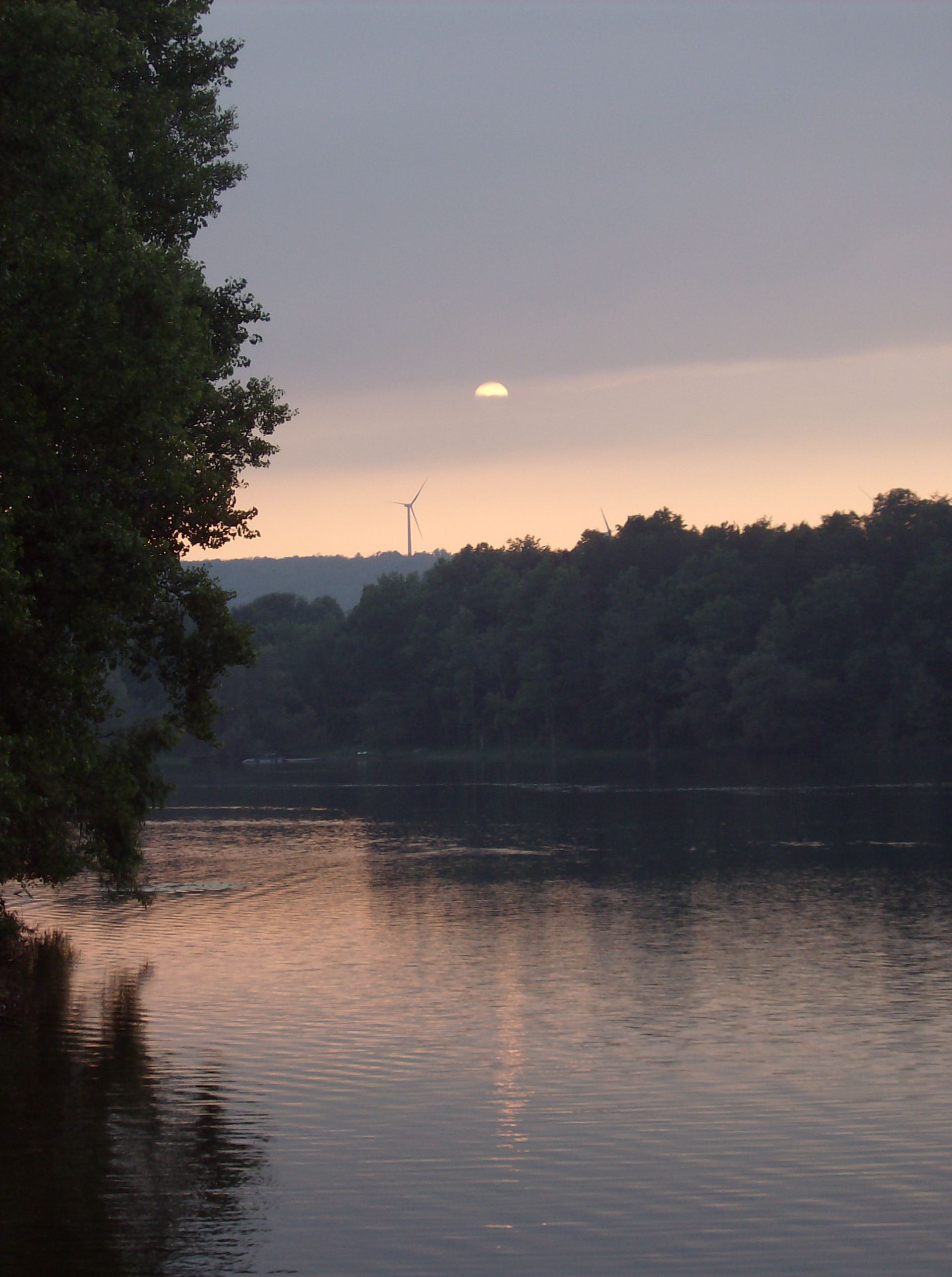
suns sets over windmill over water
North Brookfield, N.Y.
What's on the other side?
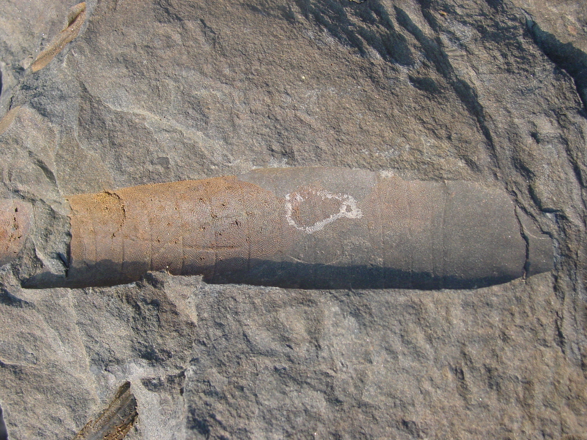
Bryozoans on an orthoconic nautiloid
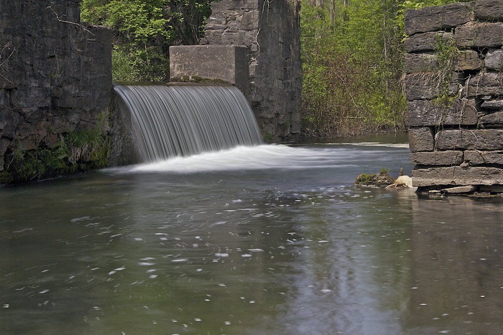
Elm Street Falls
Topographic Map of Sanger Hill Rd, Waterville, NY, USA
Find elevation by address:

Places near Sanger Hill Rd, Waterville, NY, USA:
169 Sanger Ave
W Main St, Waterville, NY, USA
Waterville
178 Bacon St W
US-20, Waterville, NY, USA
Sangerfield
7893 White St
Sangerfield
Marshall
Deansboro
8087 Shanley Rd
8516 Canning Factory Rd
Tassel Hill
Skyline Drive
Skyline Drive
Skyline Drive
Kirkland
Skyline Drive
205 St Marys Ave
Solsville Augusta Rd, Oriskany Falls, NY, USA
Recent Searches:
- Elevation of Corso Fratelli Cairoli, 35, Macerata MC, Italy
- Elevation of Tallevast Rd, Sarasota, FL, USA
- Elevation of 4th St E, Sonoma, CA, USA
- Elevation of Black Hollow Rd, Pennsdale, PA, USA
- Elevation of Oakland Ave, Williamsport, PA, USA
- Elevation of Pedrógão Grande, Portugal
- Elevation of Klee Dr, Martinsburg, WV, USA
- Elevation of Via Roma, Pieranica CR, Italy
- Elevation of Tavkvetili Mountain, Georgia
- Elevation of Hartfords Bluff Cir, Mt Pleasant, SC, USA