Elevation of Sandpiper Lane, Sandpiper Ln, South Carolina, USA
Location: United States > South Carolina > Georgetown County > Georgetown >
Longitude: -79.297864
Latitude: 33.3006967
Elevation: 8m / 26feet
Barometric Pressure: 101KPa
Elevation Map:
Satellite Map:
Related Photos:

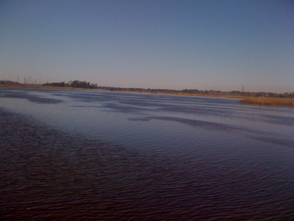
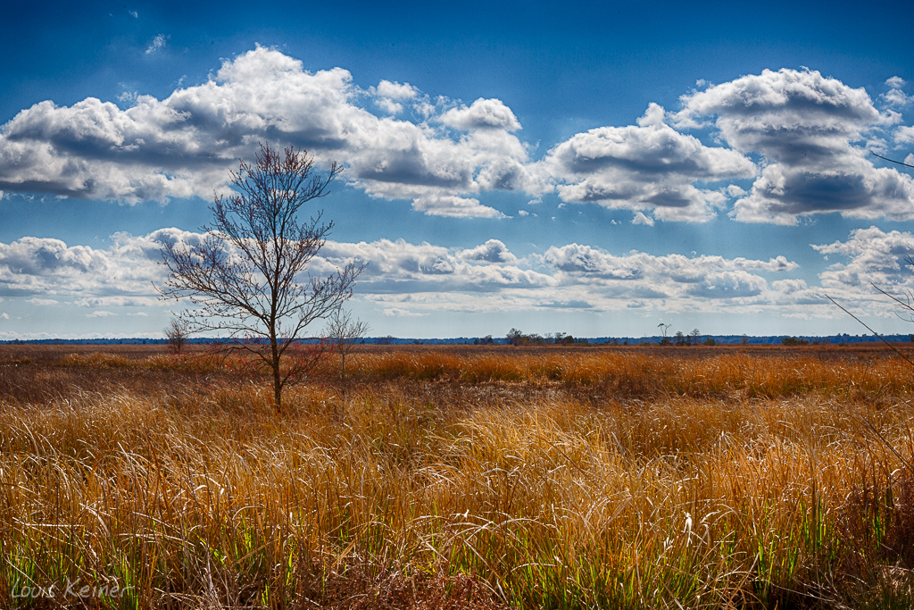
thru the rails
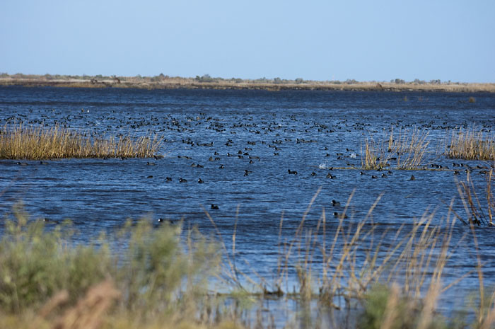
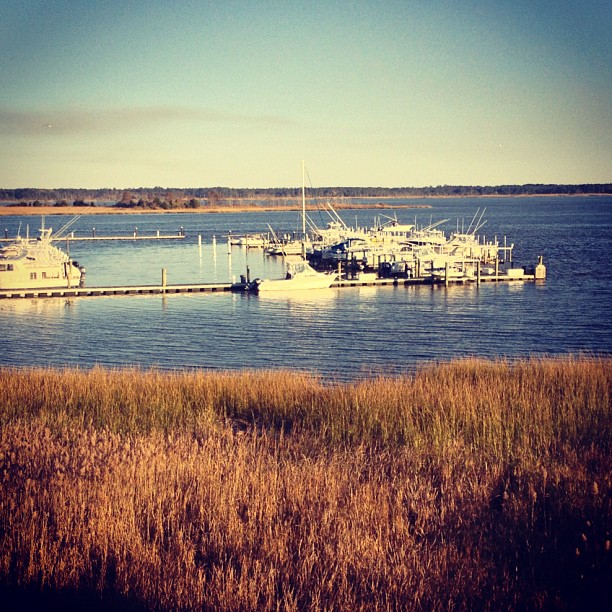
Coot Corner
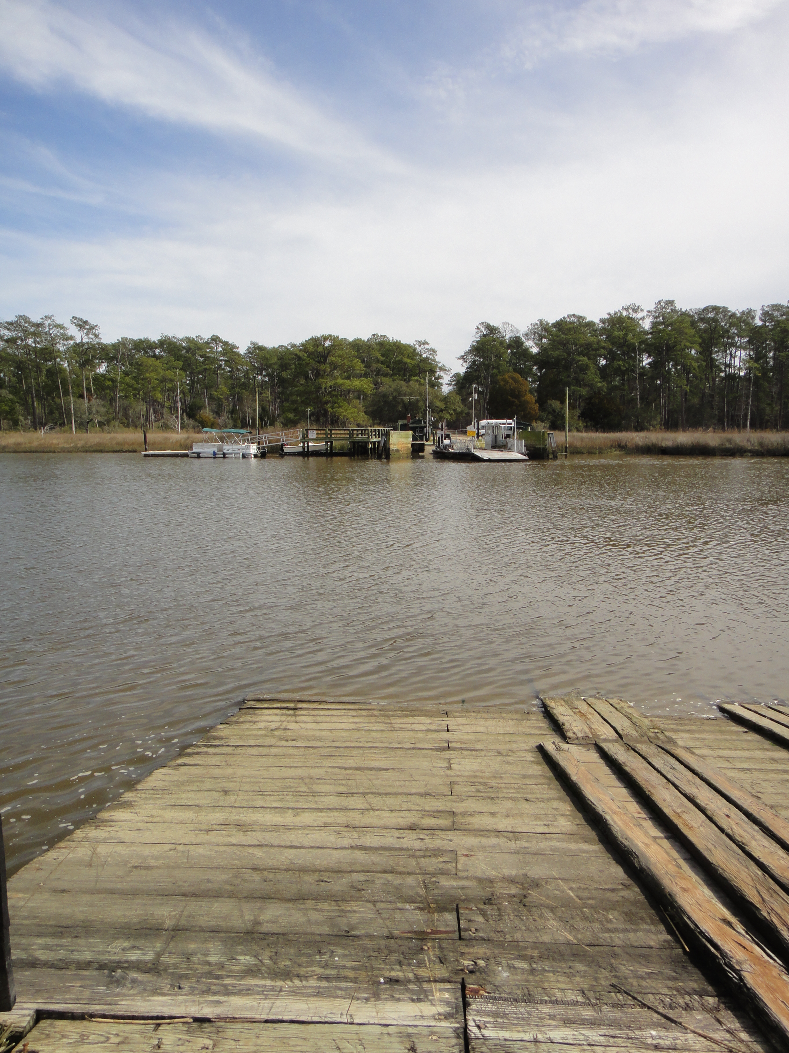
South Island Ferry
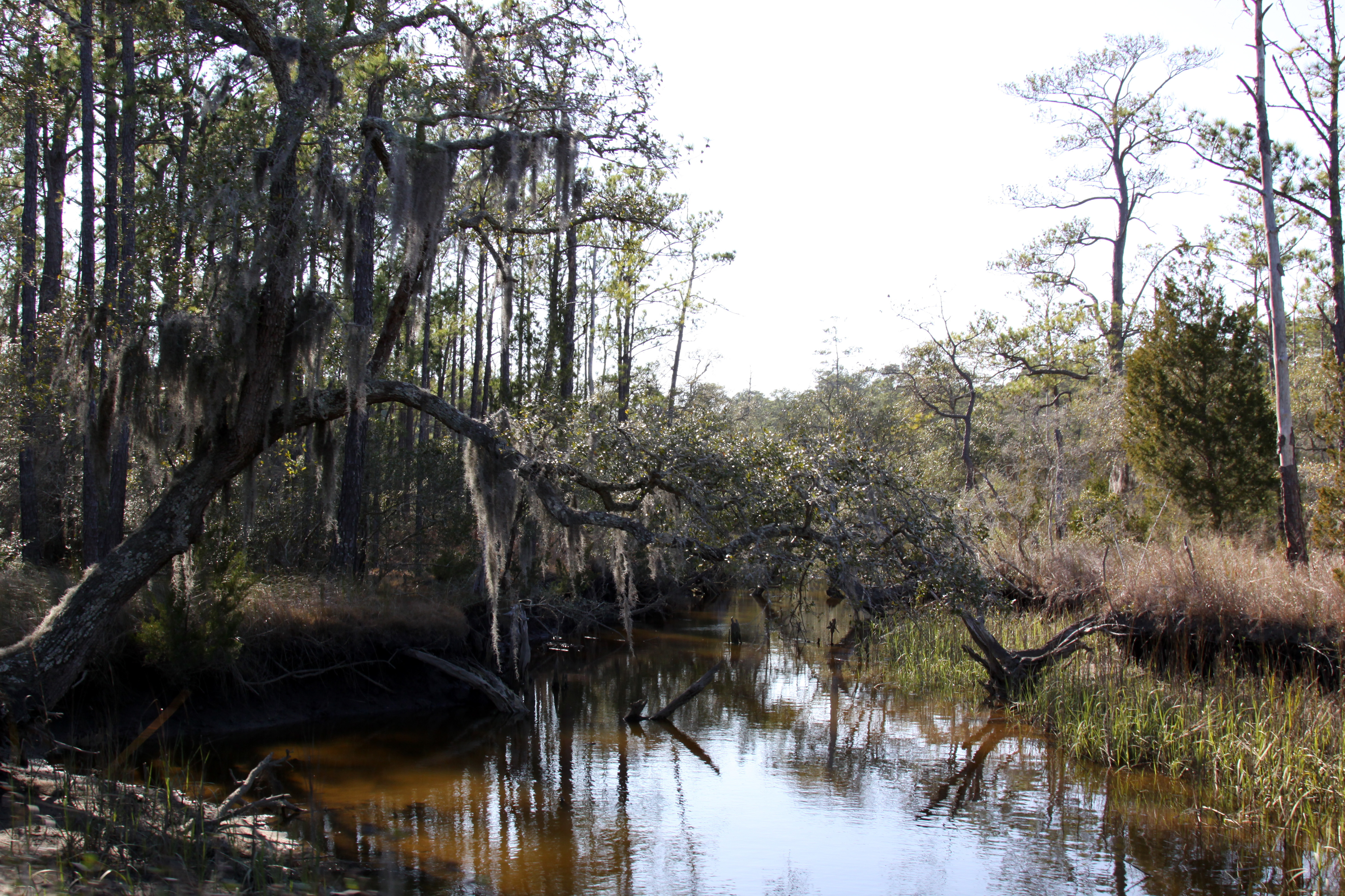
Hobcaw Tidal Marsh D71_4884

Day 651 - Sunset
USC Marine Lab

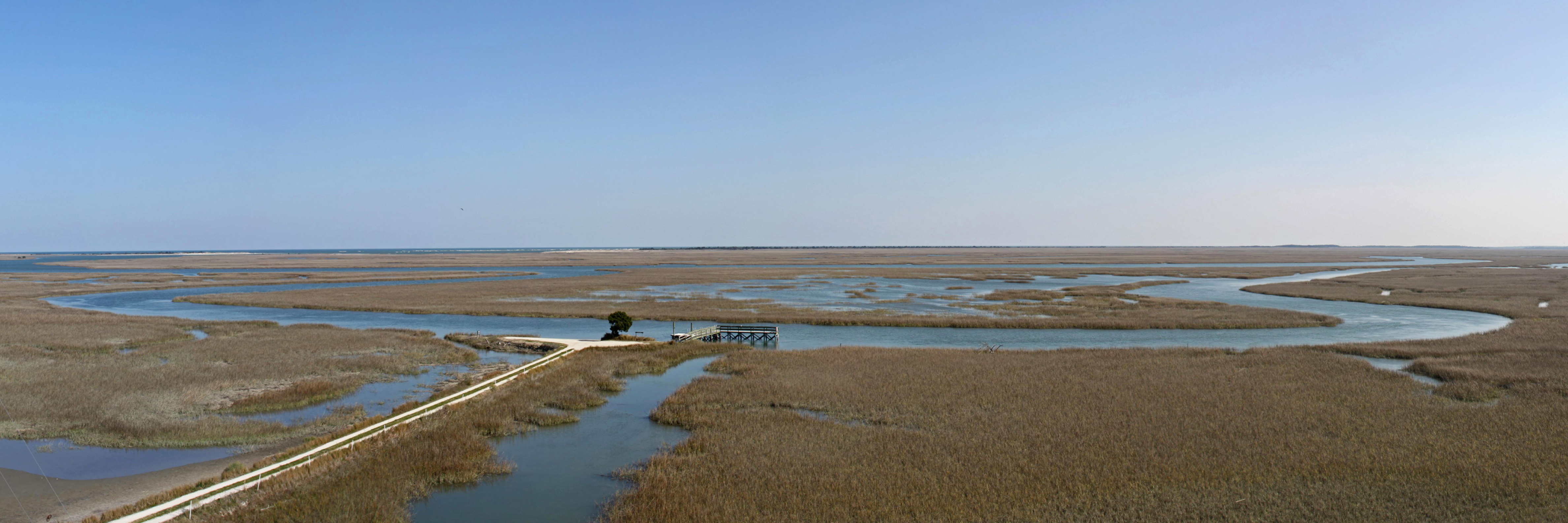
Tower Panorama
Georgetown SC - 11
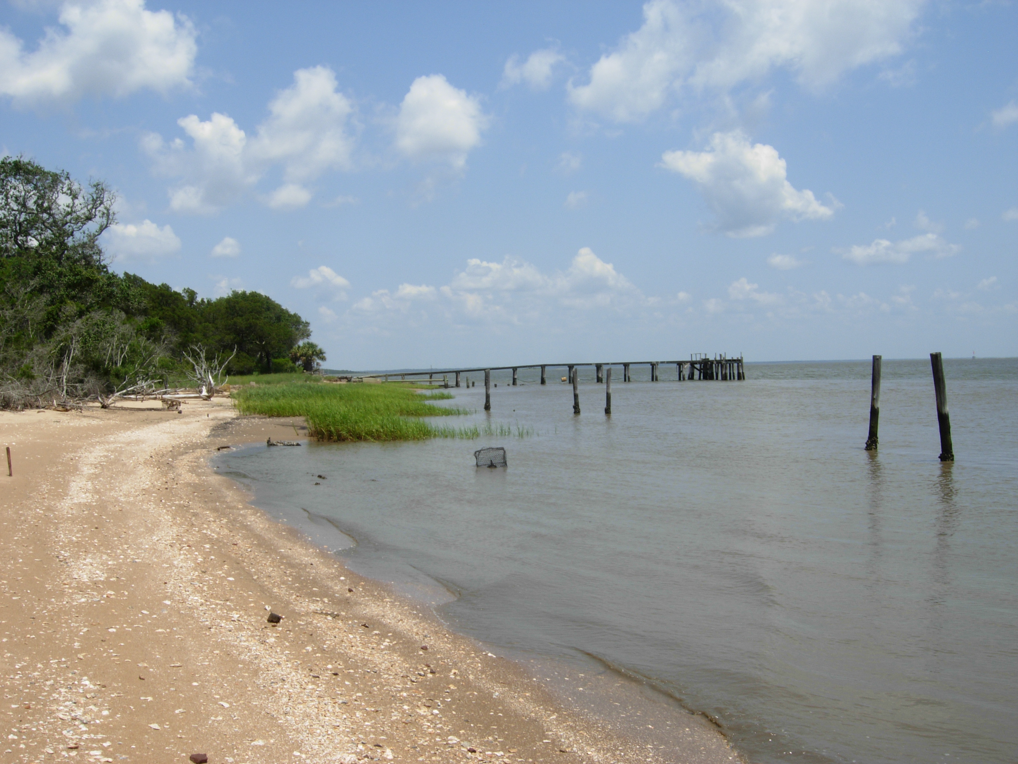
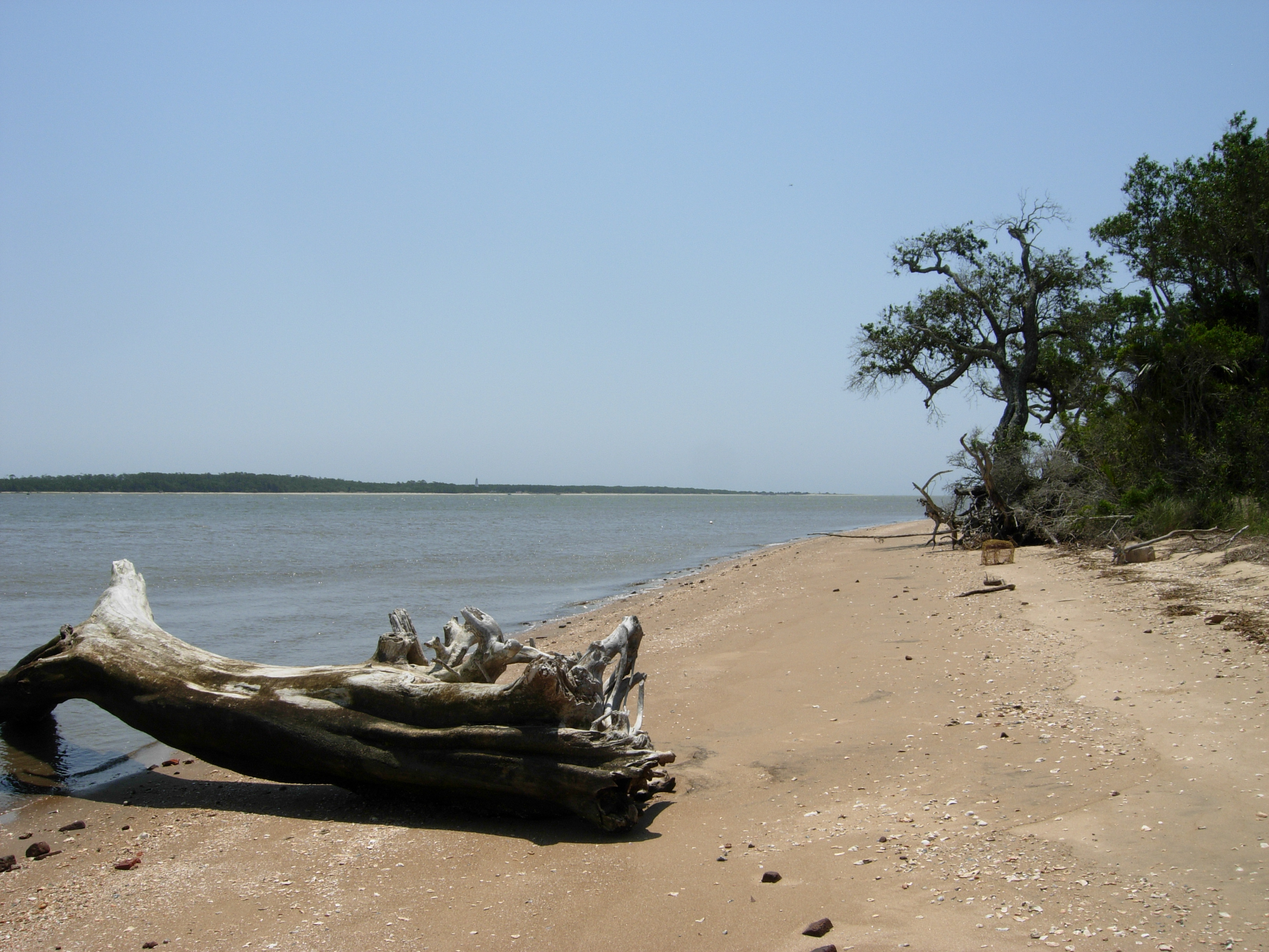
South Island, view north
02FEB12: not the beach
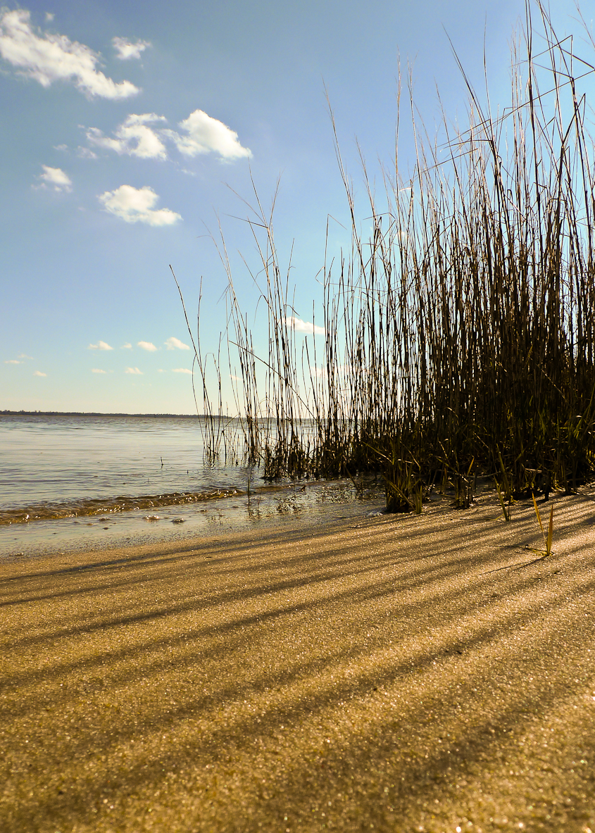
superdune, North Island
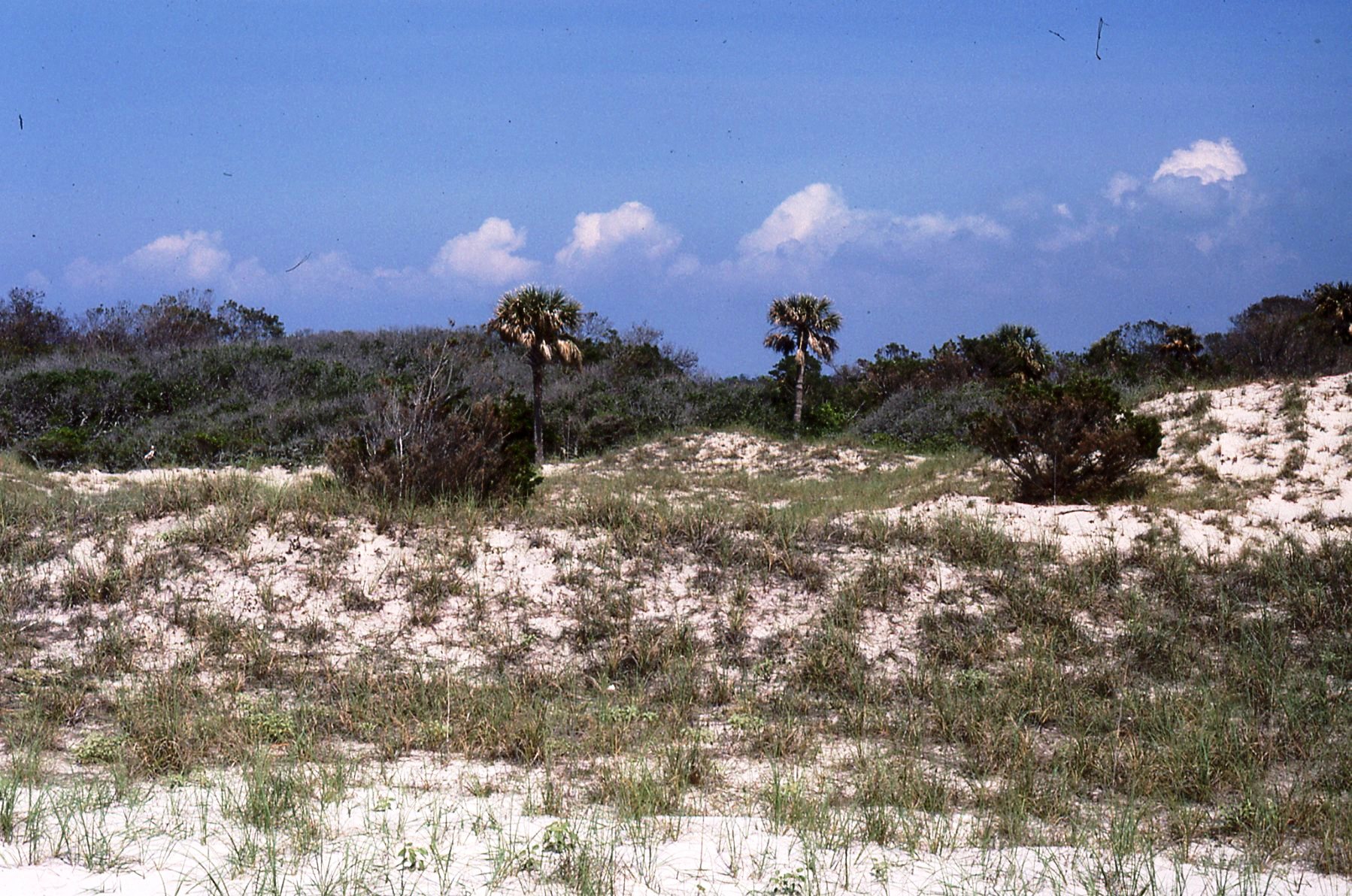
South Island, view south
Tower Panorama Crop 1

Georgetown Sunrise
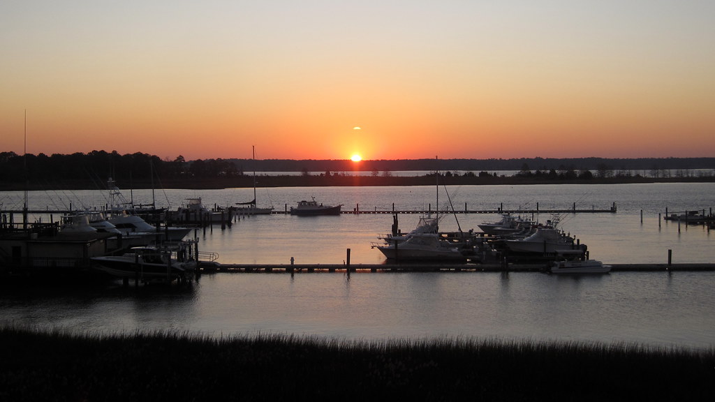
Georgetown Sunrise

Georgetown SC - 14
Hobcaw 2
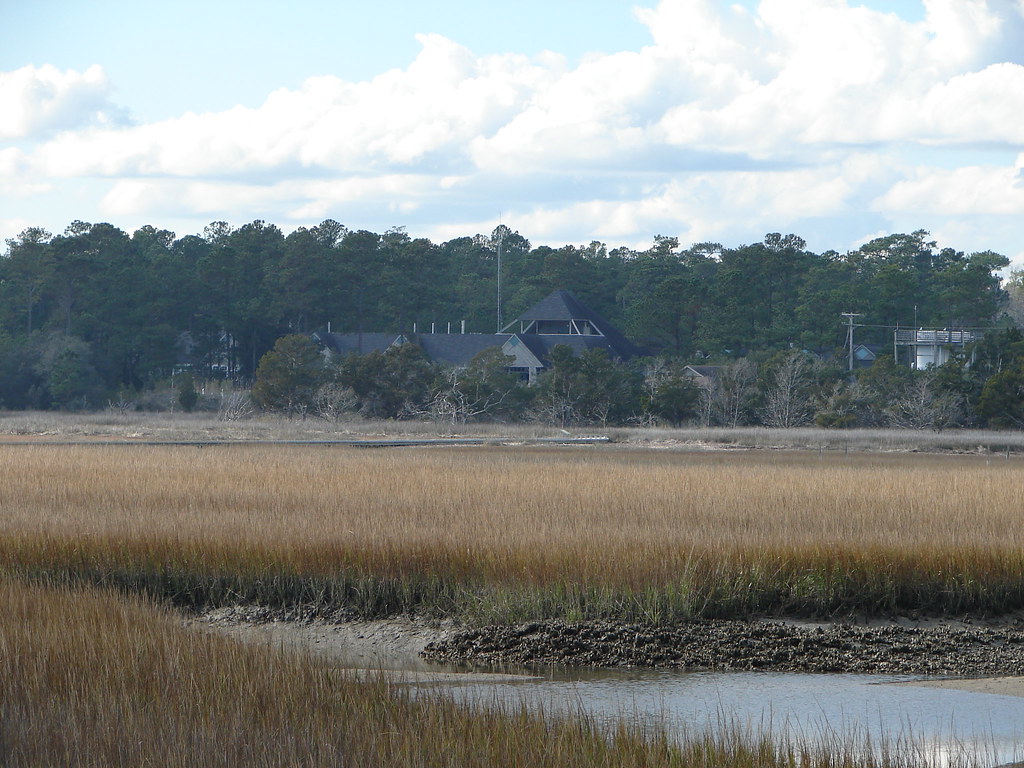
Looking out over the former rice fields

Hissing Goodby
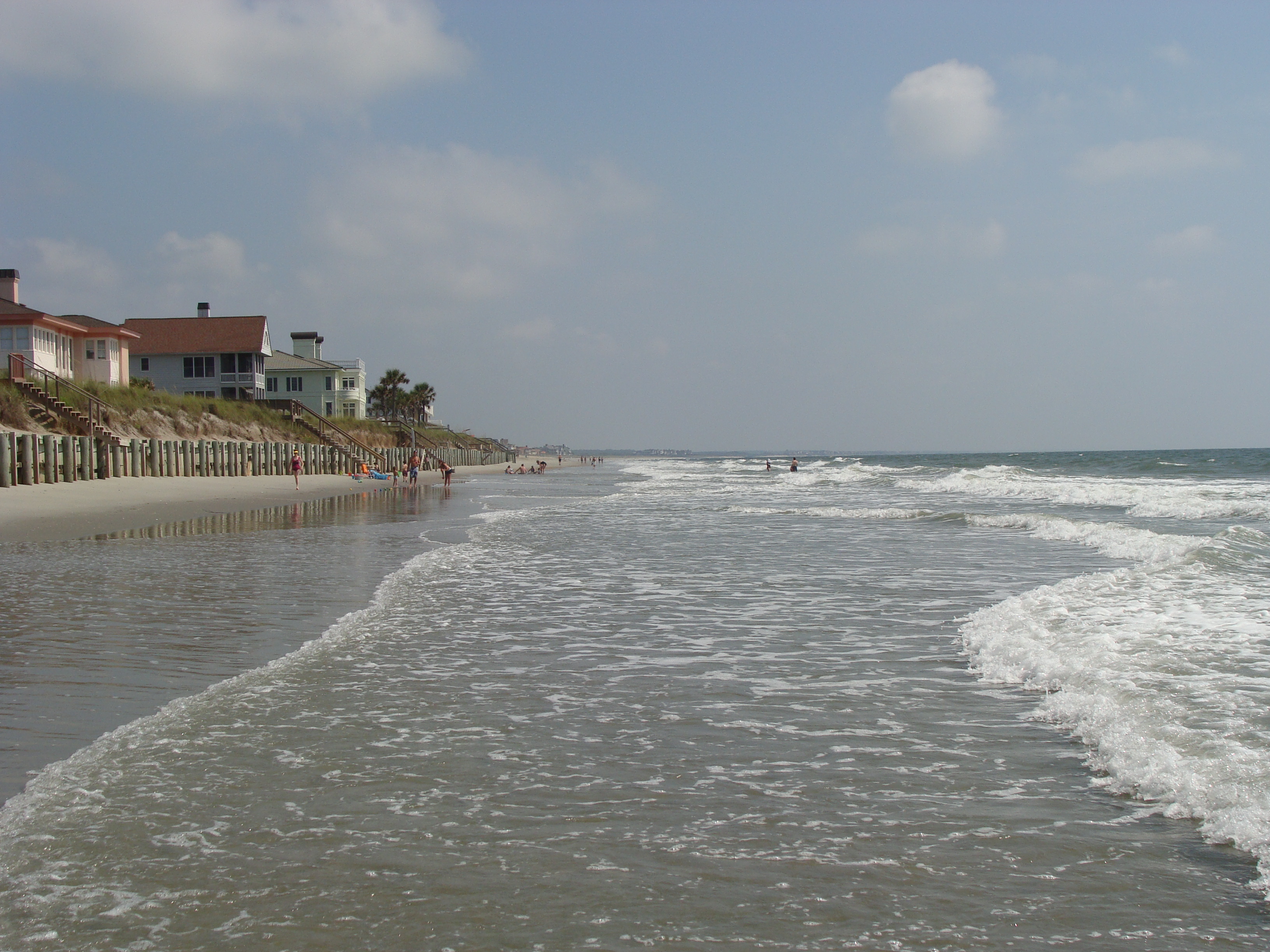
beach2009 040
I've had worse hotel views.
Topographic Map of Sandpiper Lane, Sandpiper Ln, South Carolina, USA
Find elevation by address:

Places near Sandpiper Lane, Sandpiper Ln, South Carolina, USA:
140 Sandpiper Ln
58 Peter Horry Ct
Mayrant Bluff Road
484 County Rd S-22-295
12 Tranquility Ln
283 Mallard Cir
636 Weaver Loop
702 Virginia Dr
475 Weaver Loop
818 Cedar St
405 Birch St
615 Dawson St
504 Dawson St
2624 Old Charleston Rd
2624 Old Charleston Rd
2419 Fern St
2404 S Island Rd
2226 Old Charleston Rd
603 Britt St
S Island Rd, Georgetown, SC, USA
Recent Searches:
- Elevation of Corso Fratelli Cairoli, 35, Macerata MC, Italy
- Elevation of Tallevast Rd, Sarasota, FL, USA
- Elevation of 4th St E, Sonoma, CA, USA
- Elevation of Black Hollow Rd, Pennsdale, PA, USA
- Elevation of Oakland Ave, Williamsport, PA, USA
- Elevation of Pedrógão Grande, Portugal
- Elevation of Klee Dr, Martinsburg, WV, USA
- Elevation of Via Roma, Pieranica CR, Italy
- Elevation of Tavkvetili Mountain, Georgia
- Elevation of Hartfords Bluff Cir, Mt Pleasant, SC, USA