Elevation of Mayrant Bluff Road, Mayrant Bluff Rd, Georgetown, SC, USA
Location: United States > South Carolina > Georgetown County > Georgetown >
Longitude: -79.296652
Latitude: 33.3035922
Elevation: 6m / 20feet
Barometric Pressure: 101KPa
Elevation Map:
Satellite Map:
Related Photos:
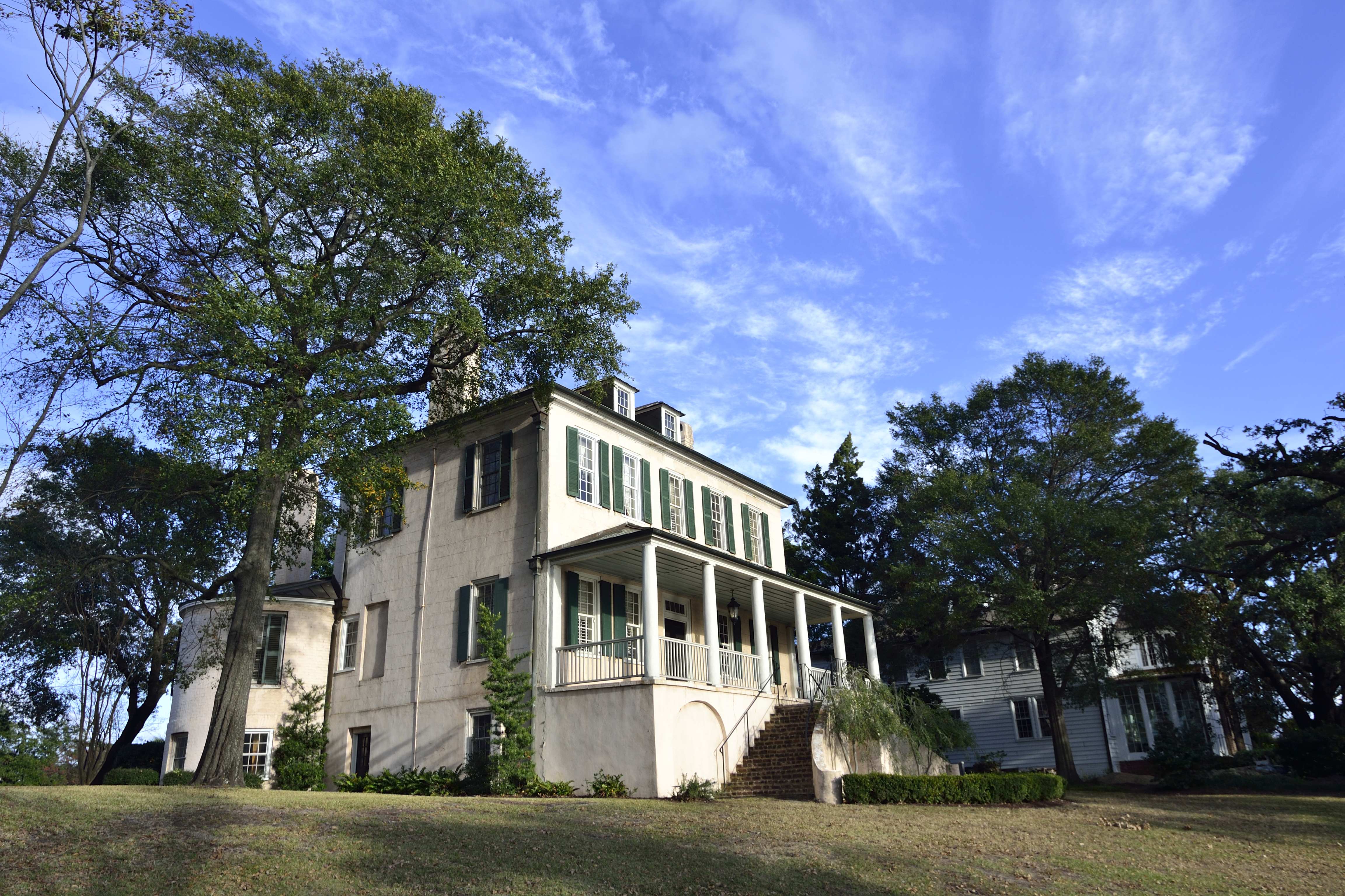
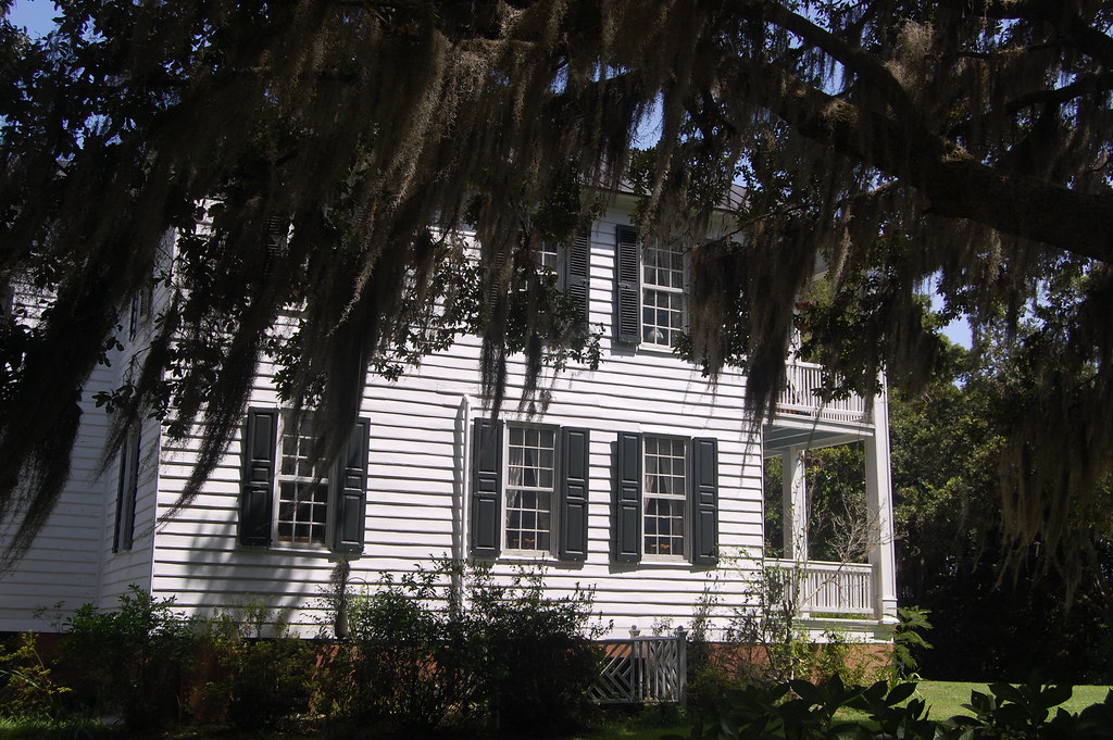
Kaminski House

Epic view from the bridge
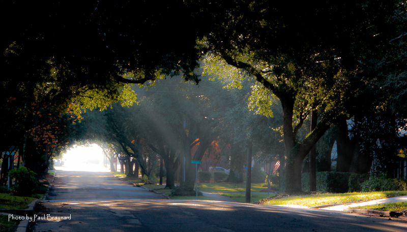
Sunrise on Meeting Street
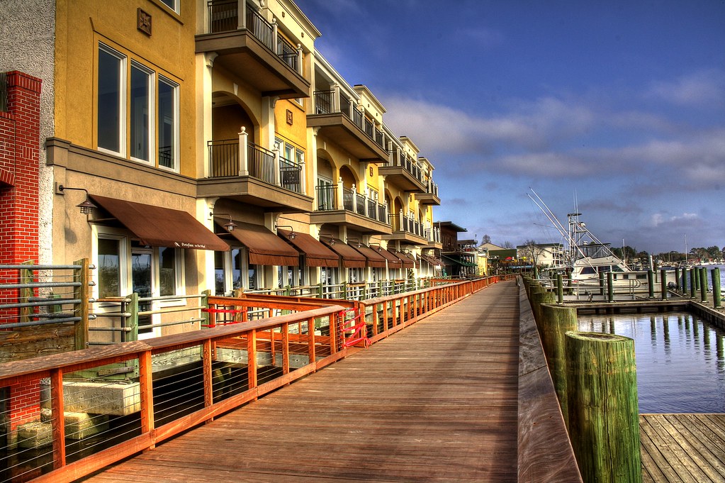
Shop, Dine or Sail?
I've had worse hotel views.

Window view
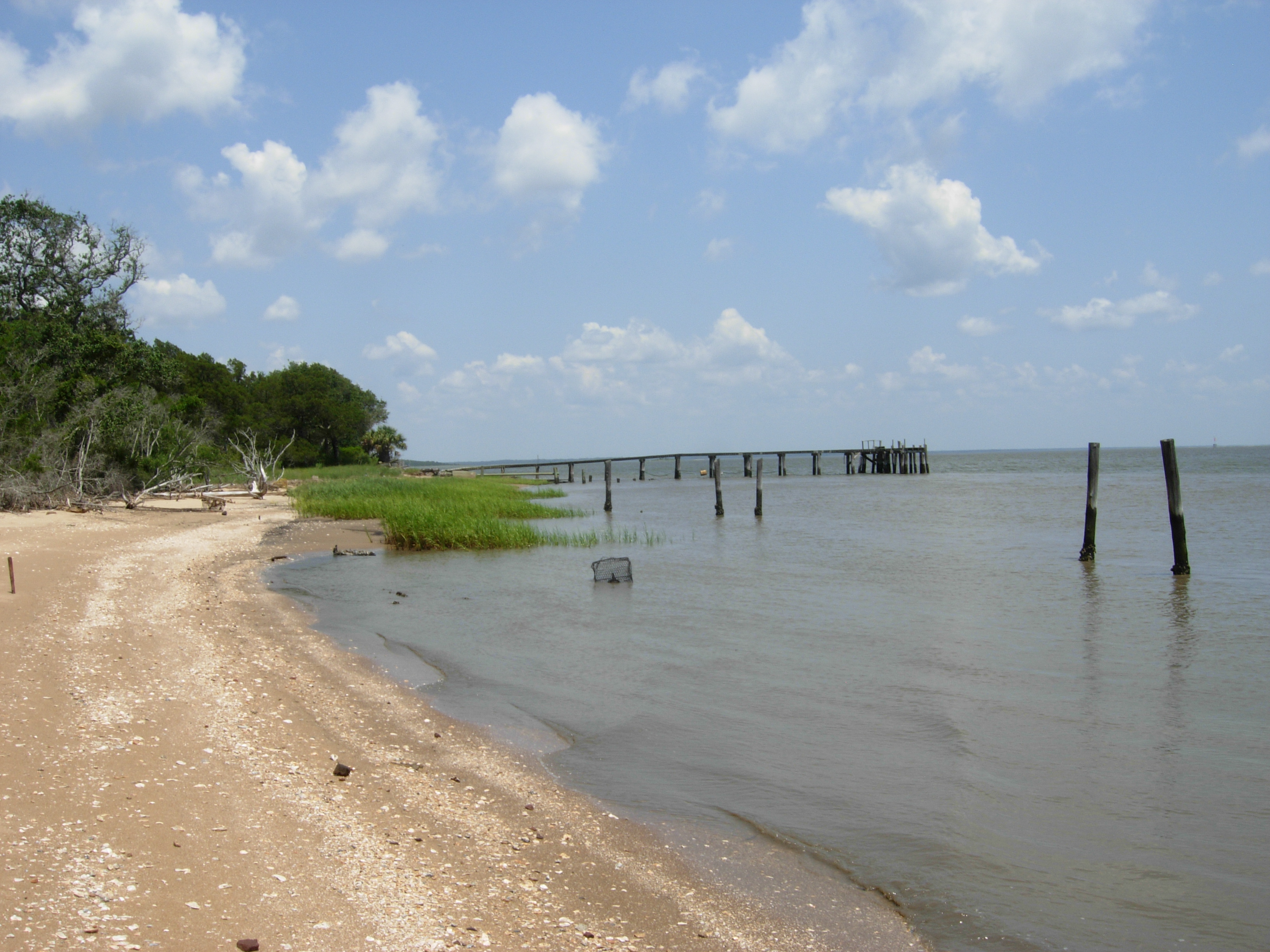
South Island, view north
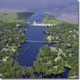
Aerial View of Property - Yacht Club at Belle Isle
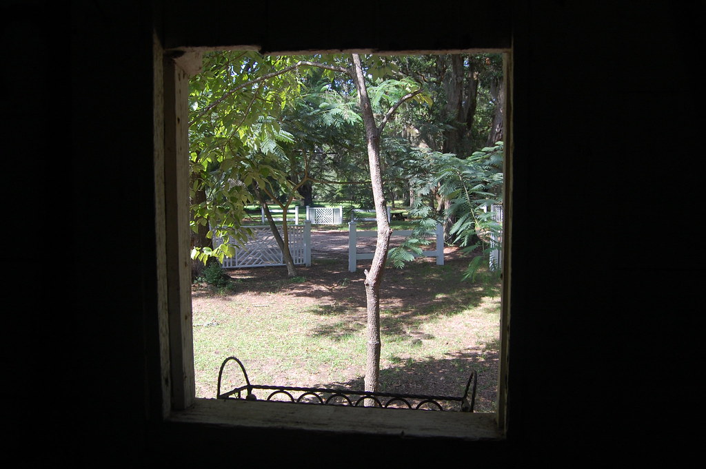
Slave cabin window view
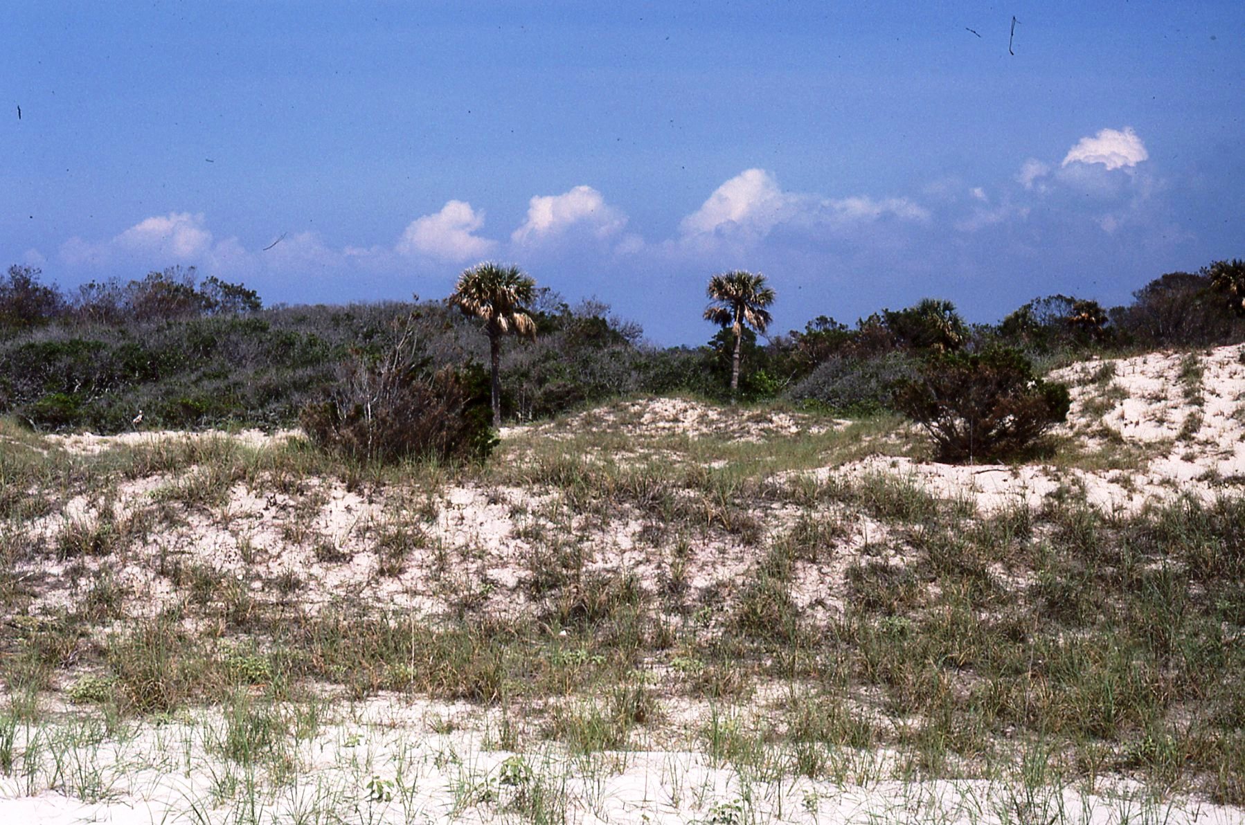
superdune, North Island
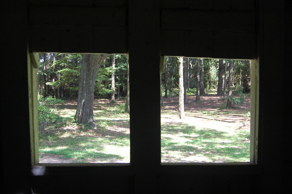
Slave cabin window view
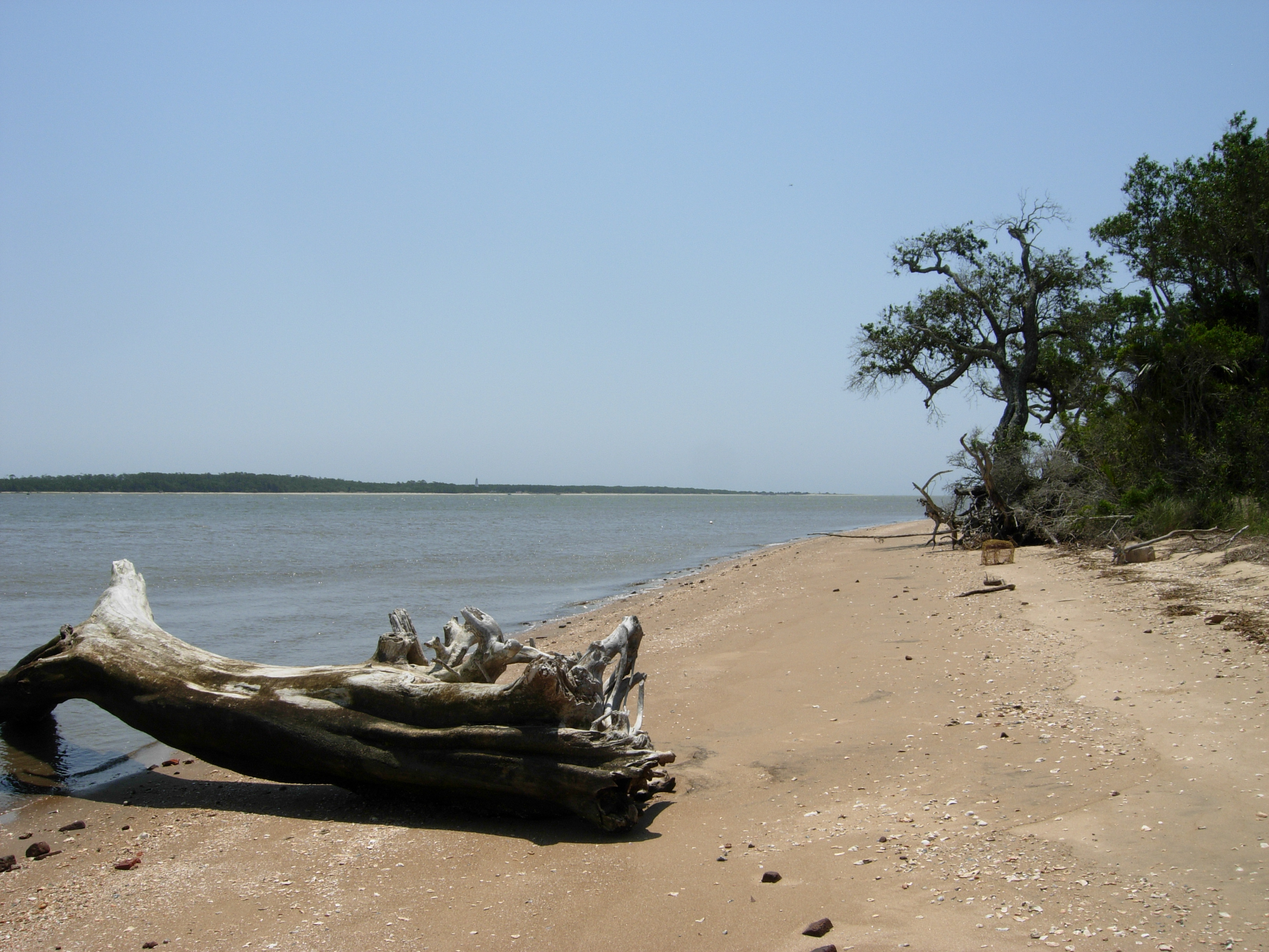
South Island, view south
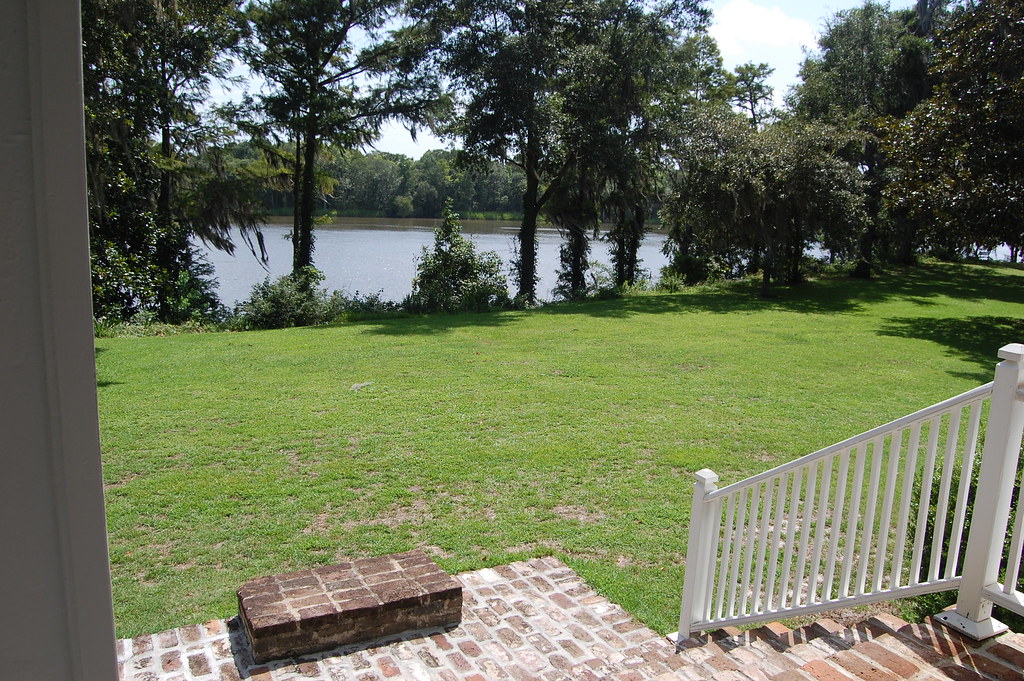
Front view with mounting block
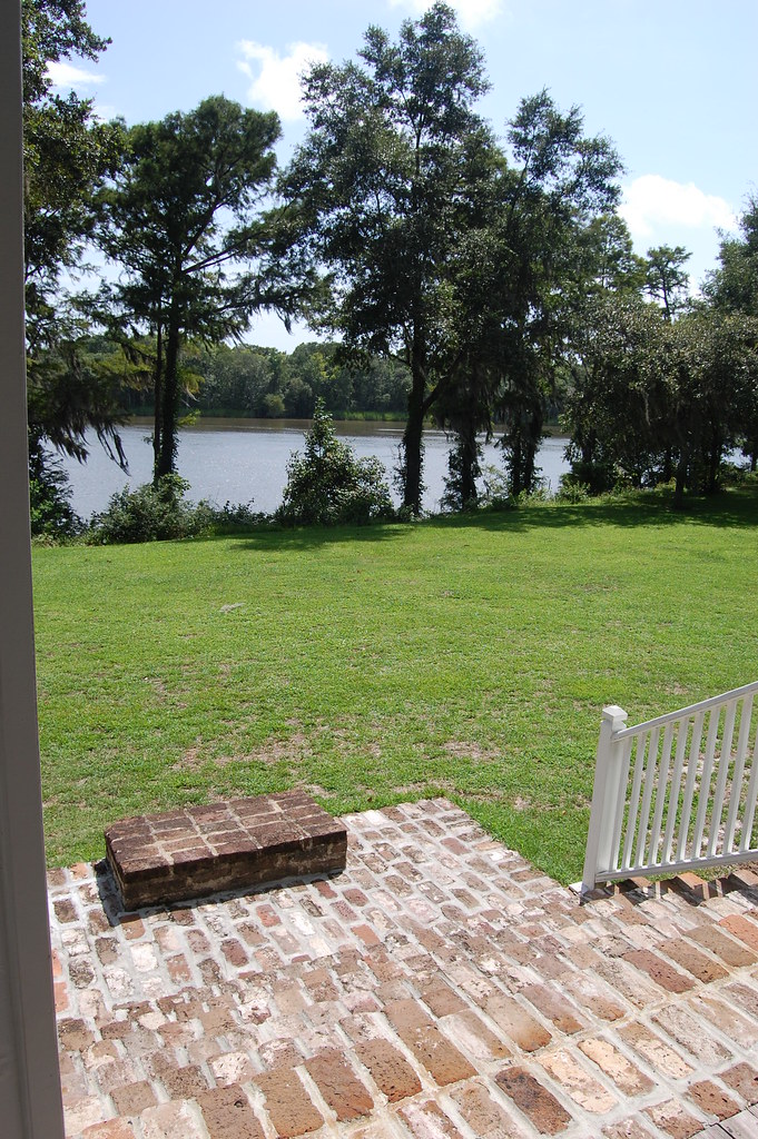
Front view with mounting block
Tower View
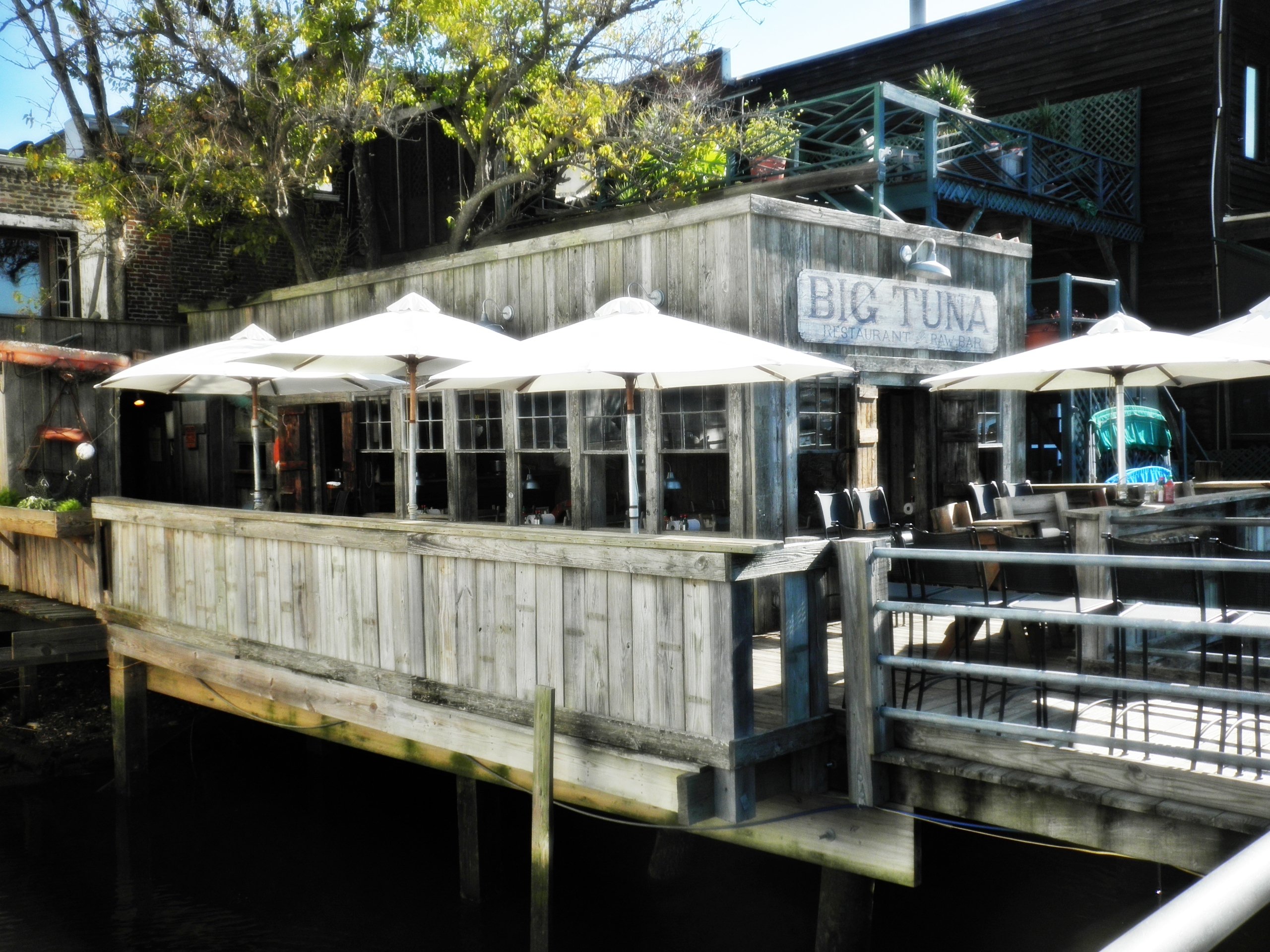
View of the Big Tuna from the boardwalk
Side view
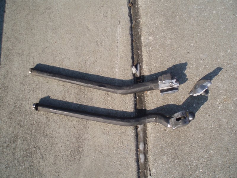
My kickstand broke--SHUCKS!

Another kickstand shot
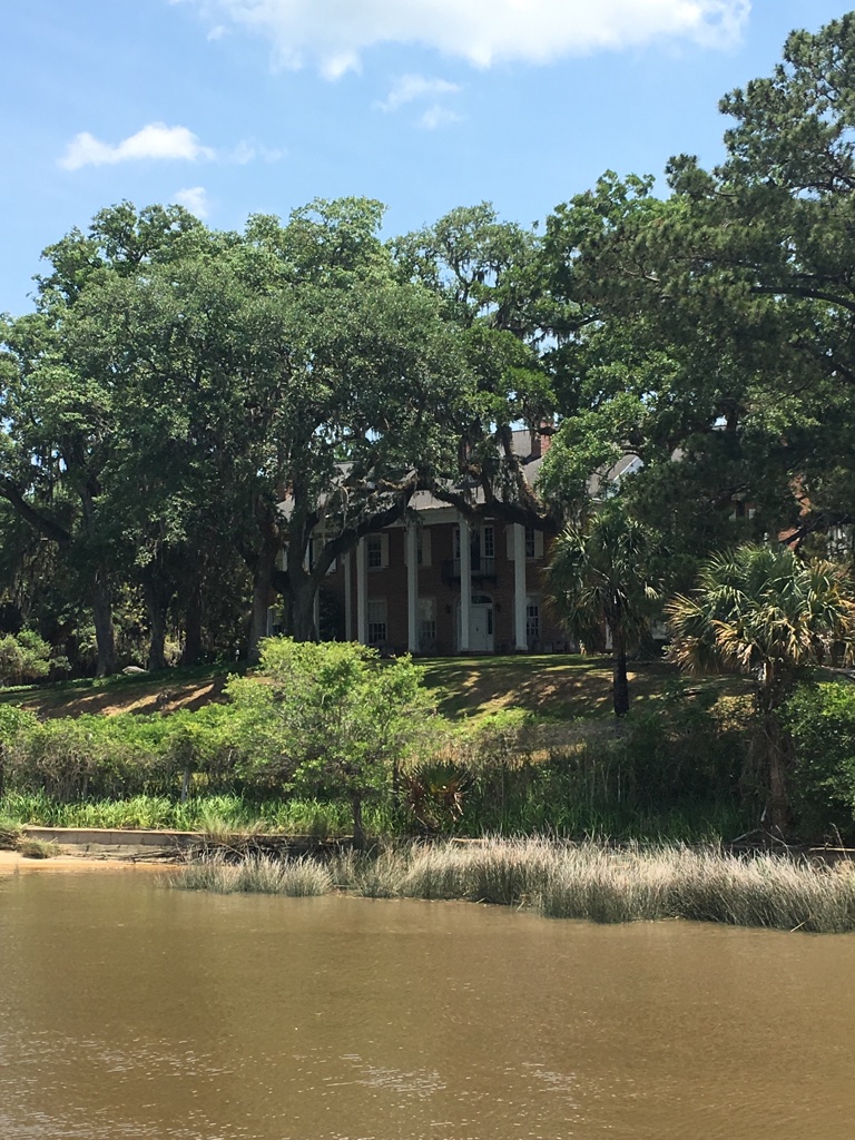
View of House from dock
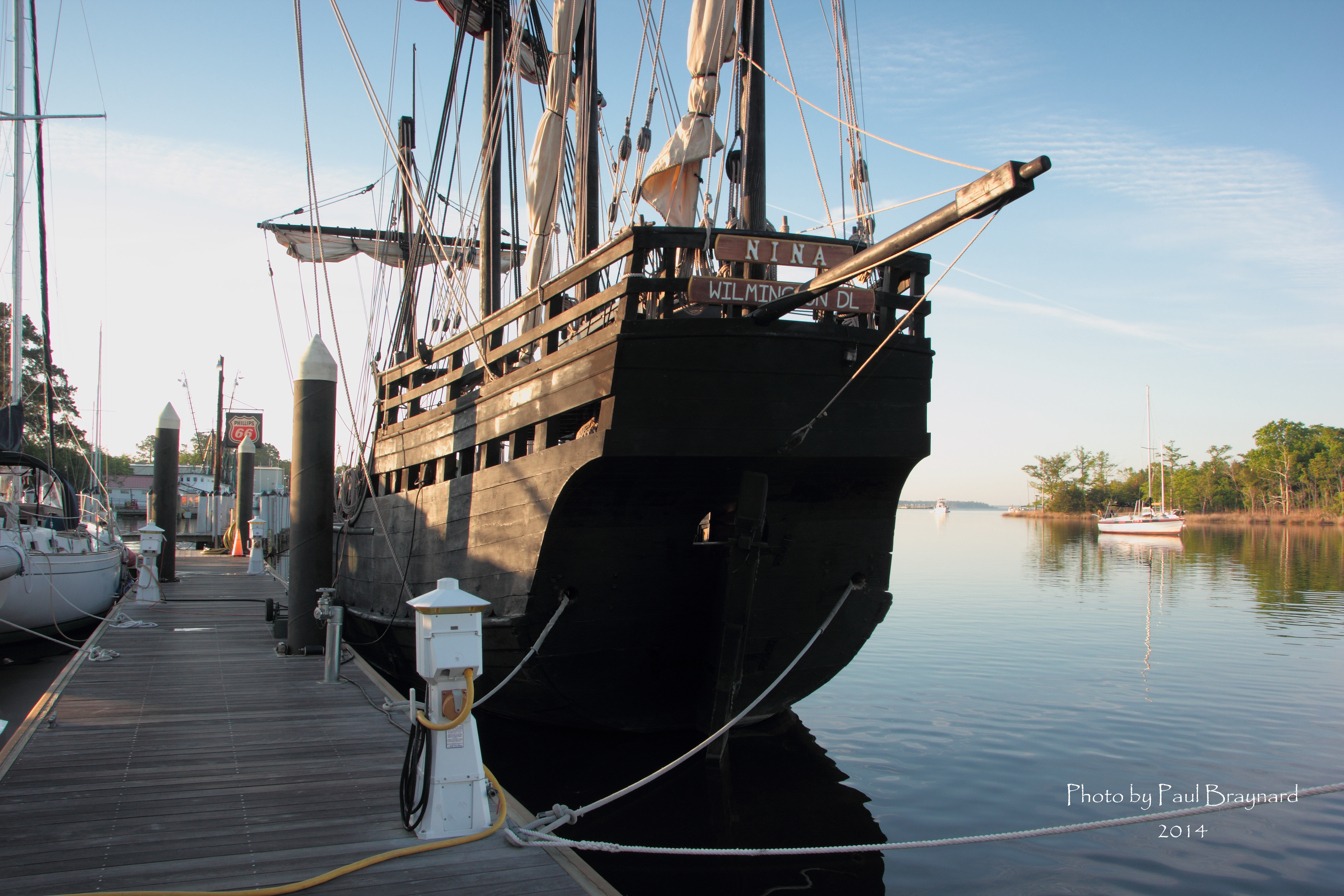
Nina Reproduction - Stern View

thru the rails

Day 1069 - Georgetown Sunrise
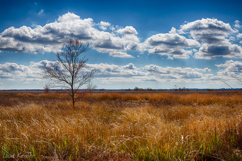
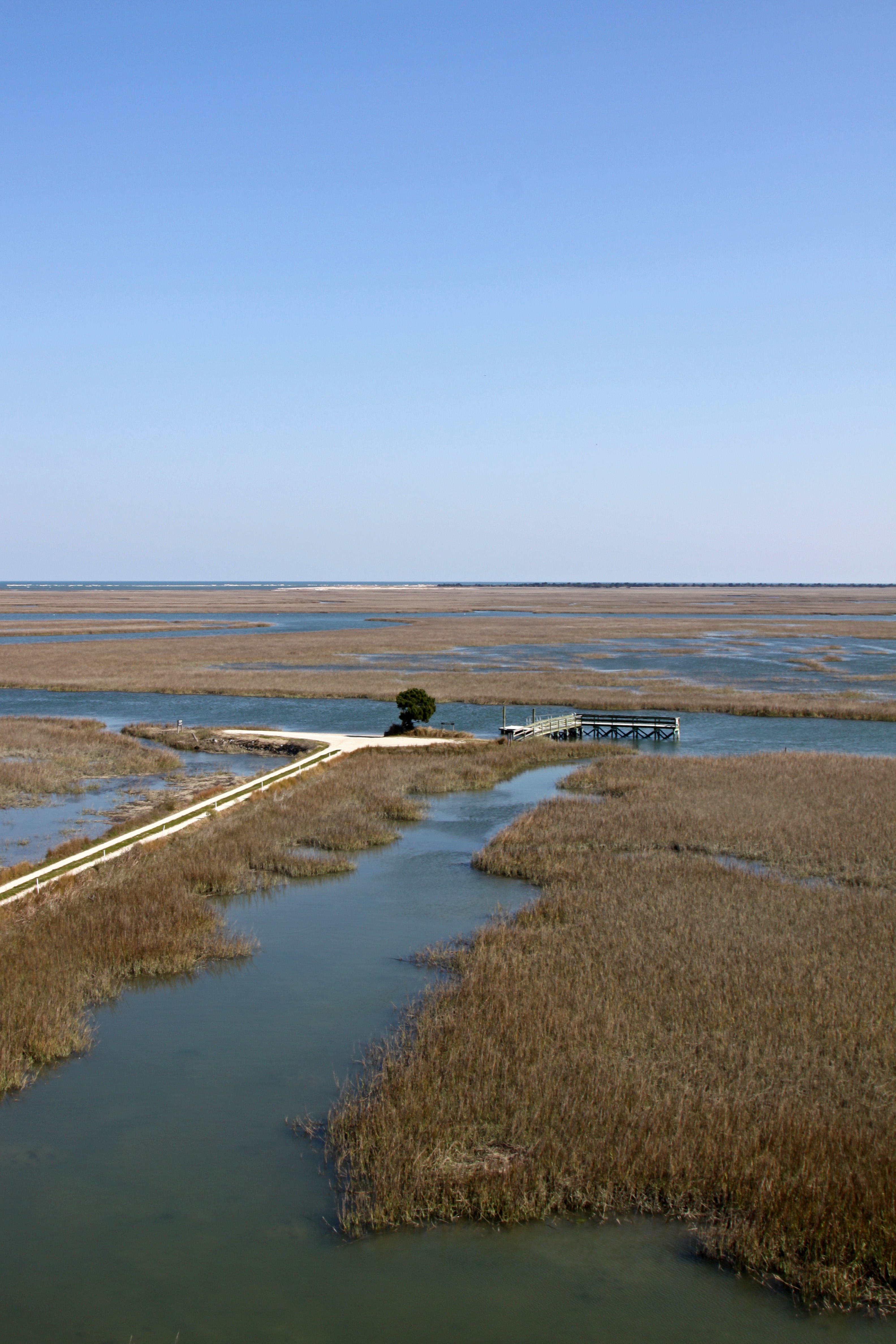
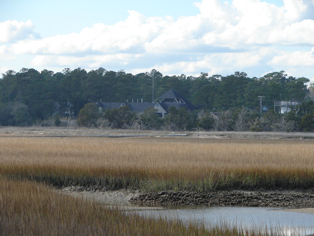
Looking out over the former rice fields
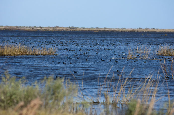
Coot Corner
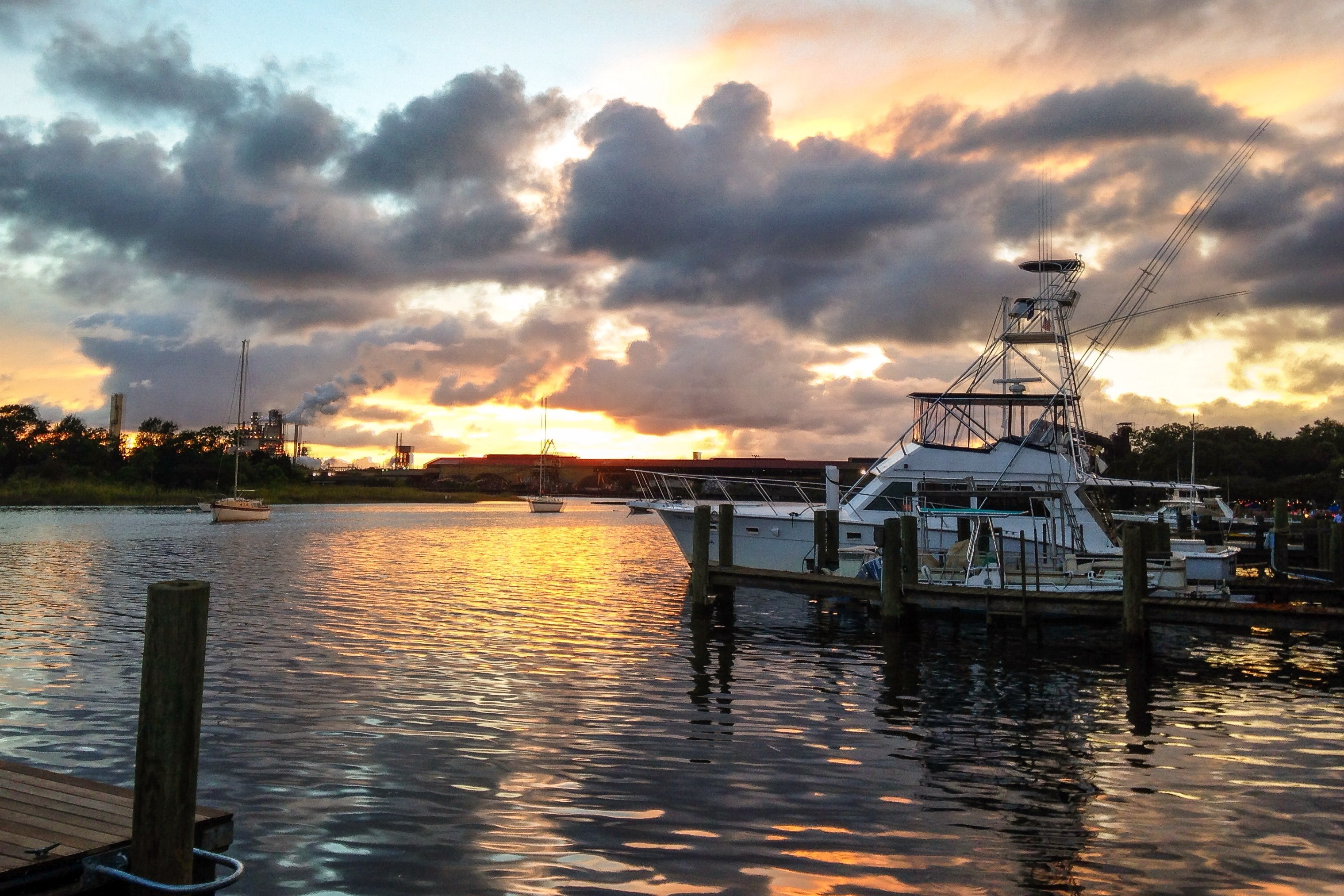
iPhone - Georgetown Waterfront Sunset HDR
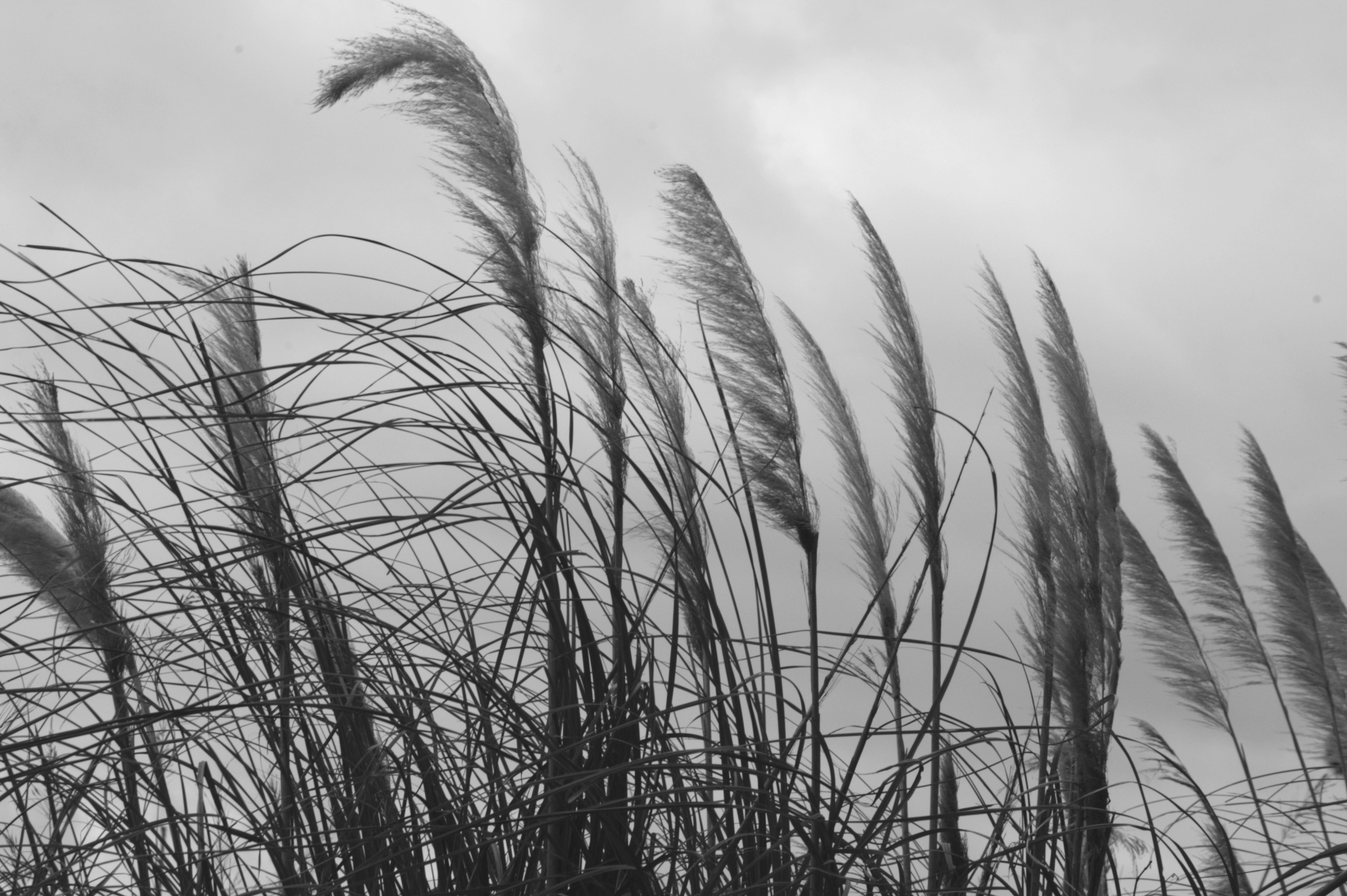
Georgetown Sea Oats
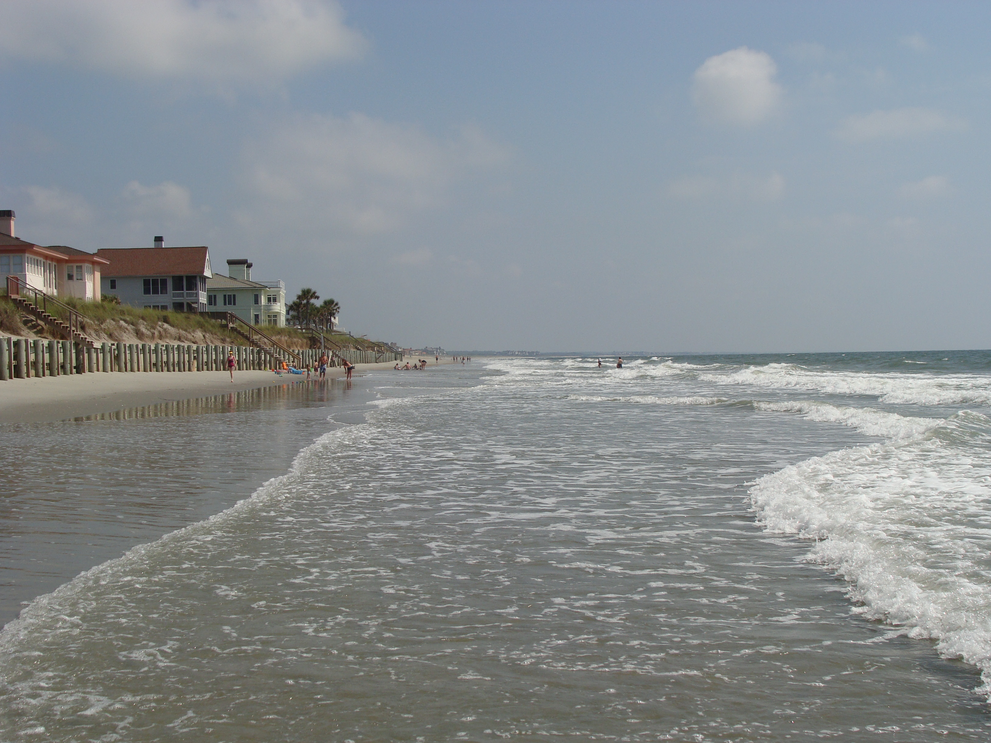
beach2009 040

Hissing Goodby
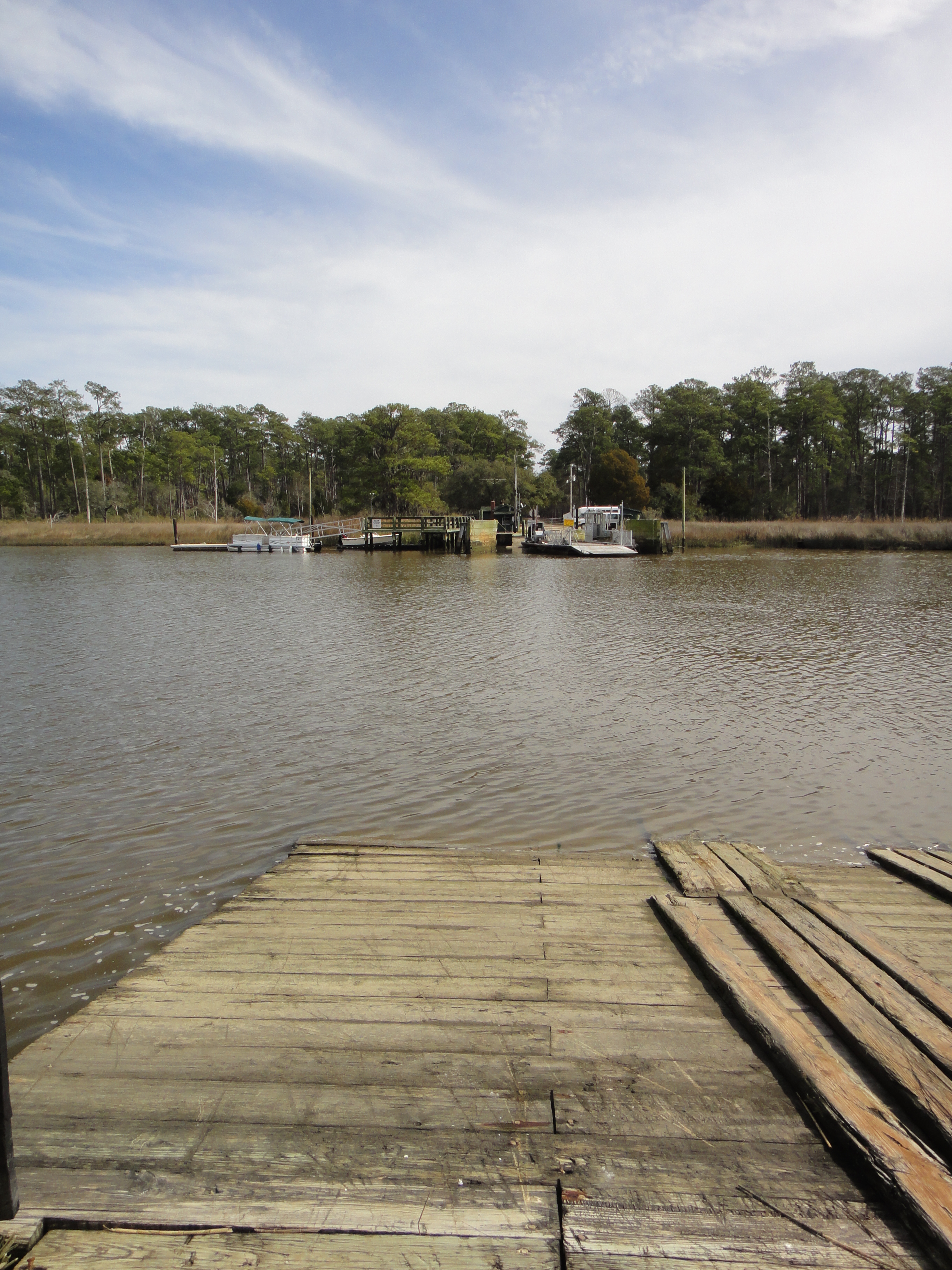
South Island Ferry

Winter Potomac
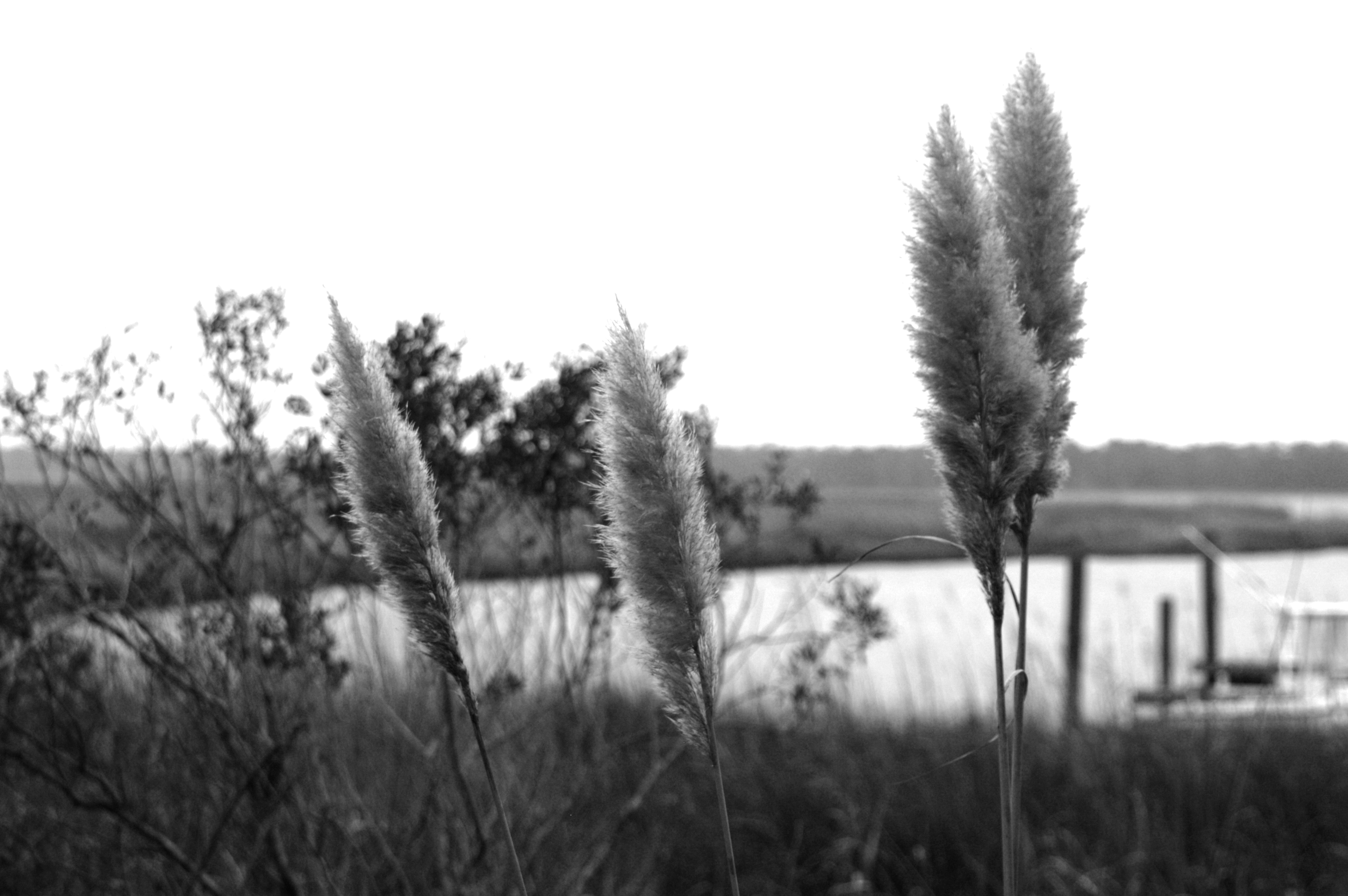
Sea Oats against sea passage
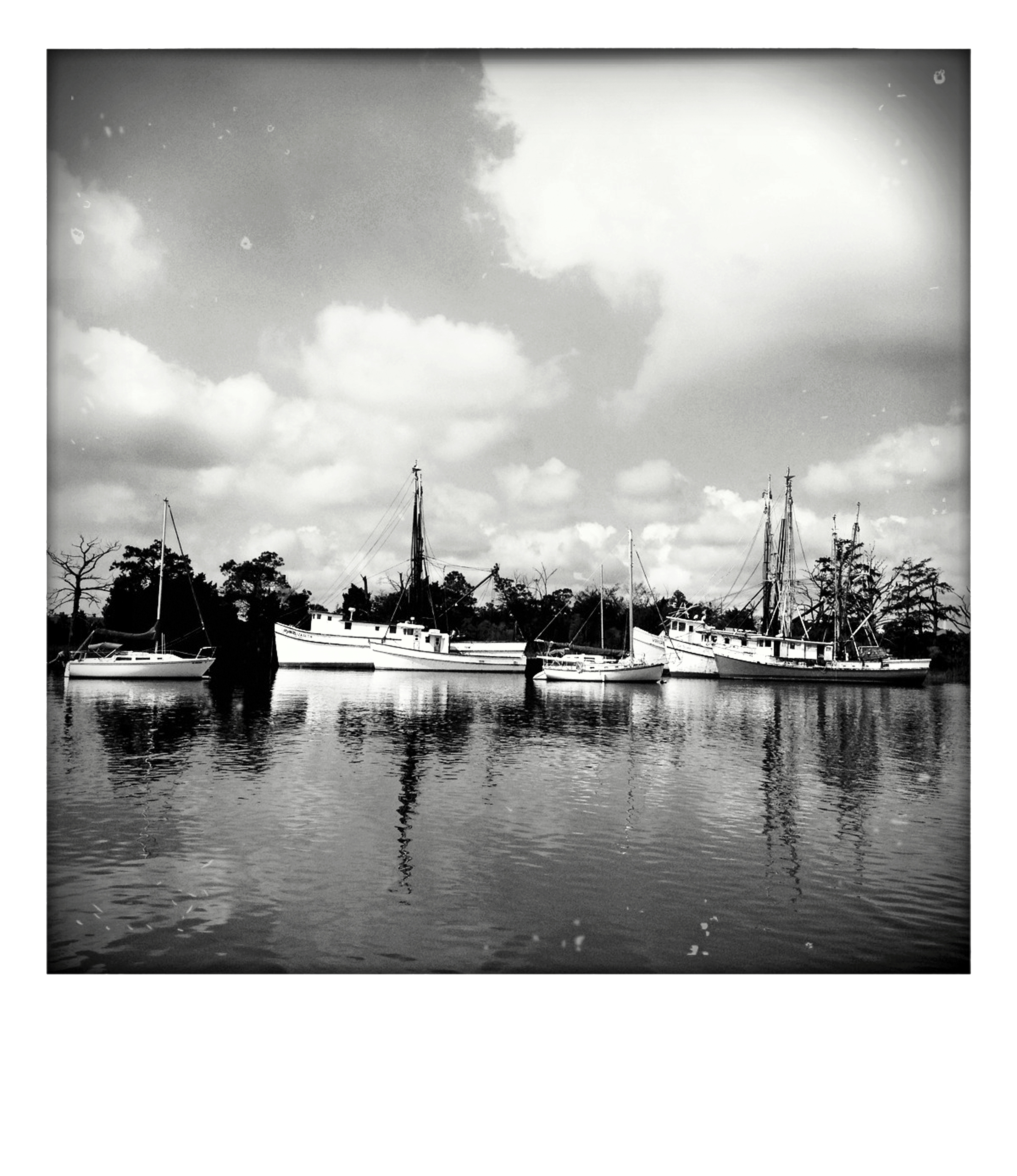
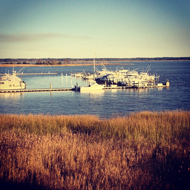
Goat Island shrimp boats
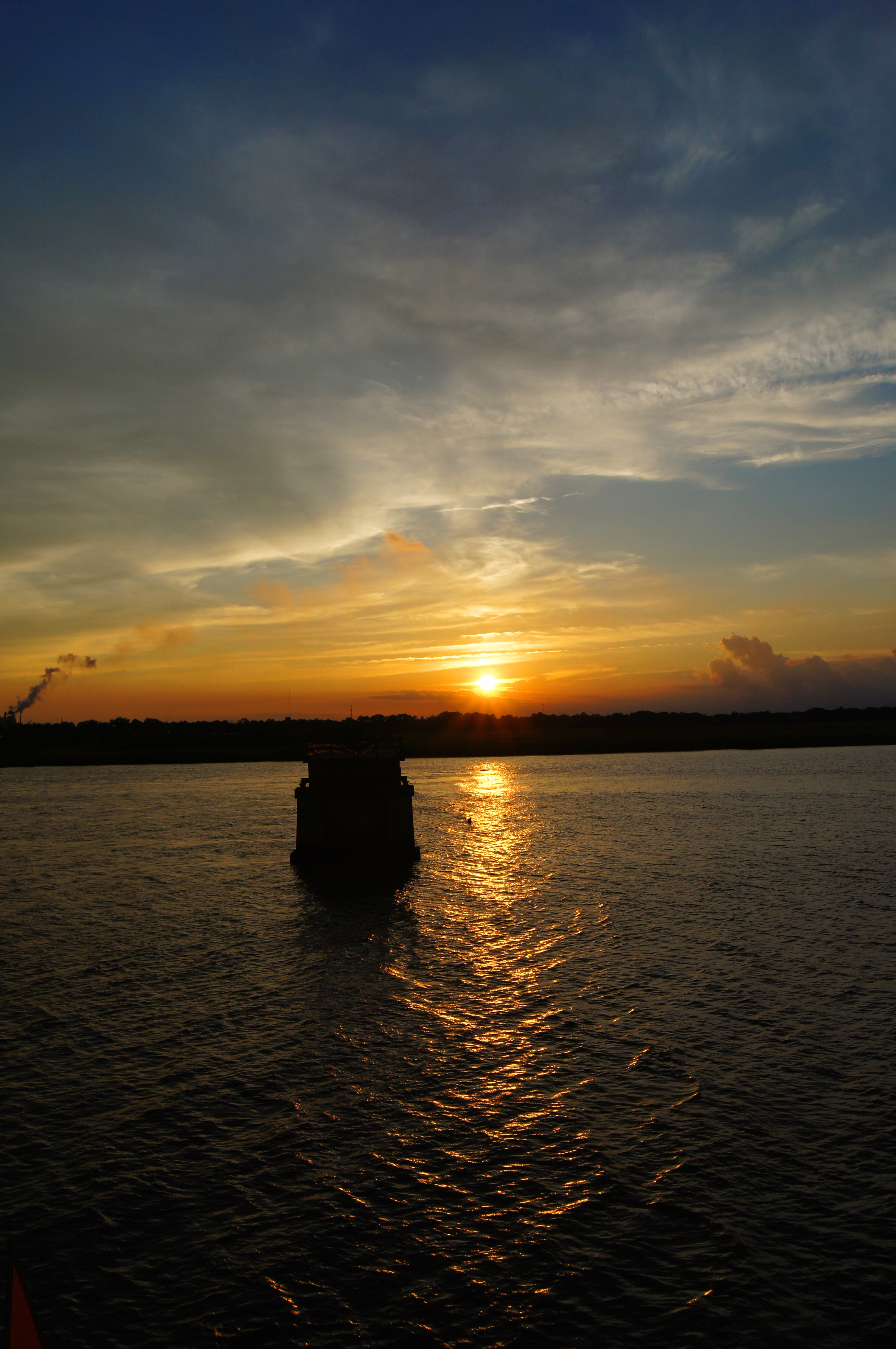
sunset in SC
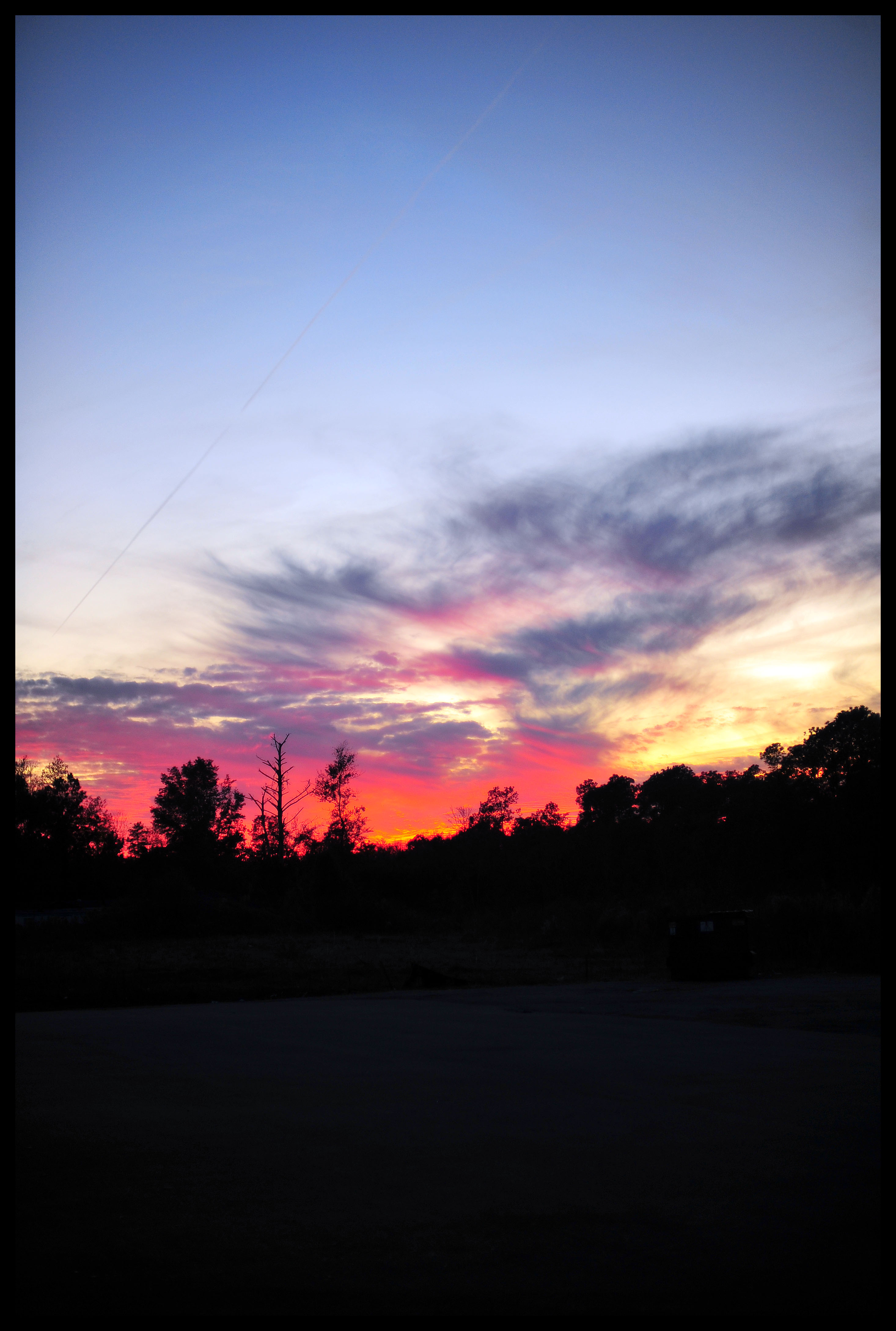
Day 651 - Sunset

International Paper
USC Marine Lab

Tower Panorama
Georgetown SC - 11

Georgetown, South Carolina
Topographic Map of Mayrant Bluff Road, Mayrant Bluff Rd, Georgetown, SC, USA
Find elevation by address:

Places near Mayrant Bluff Road, Mayrant Bluff Rd, Georgetown, SC, USA:
58 Peter Horry Ct
12 Tranquility Ln
Sandpiper Lane
140 Sandpiper Ln
283 Mallard Cir
484 County Rd S-22-295
636 Weaver Loop
702 Virginia Dr
818 Cedar St
475 Weaver Loop
405 Birch St
615 Dawson St
504 Dawson St
2624 Old Charleston Rd
2624 Old Charleston Rd
2419 Fern St
2404 S Island Rd
2226 Old Charleston Rd
603 Britt St
S Island Rd, Georgetown, SC, USA
Recent Searches:
- Elevation of Corso Fratelli Cairoli, 35, Macerata MC, Italy
- Elevation of Tallevast Rd, Sarasota, FL, USA
- Elevation of 4th St E, Sonoma, CA, USA
- Elevation of Black Hollow Rd, Pennsdale, PA, USA
- Elevation of Oakland Ave, Williamsport, PA, USA
- Elevation of Pedrógão Grande, Portugal
- Elevation of Klee Dr, Martinsburg, WV, USA
- Elevation of Via Roma, Pieranica CR, Italy
- Elevation of Tavkvetili Mountain, Georgia
- Elevation of Hartfords Bluff Cir, Mt Pleasant, SC, USA