Elevation of Dawson St, Georgetown, SC, USA
Location: United States > South Carolina > Georgetown County > Georgetown >
Longitude: -79.296882
Latitude: 33.335023
Elevation: 8m / 26feet
Barometric Pressure: 101KPa
Elevation Map:
Satellite Map:
Related Photos:

View-A-20_Sarver_NIWBNERR

Epic view from the bridge
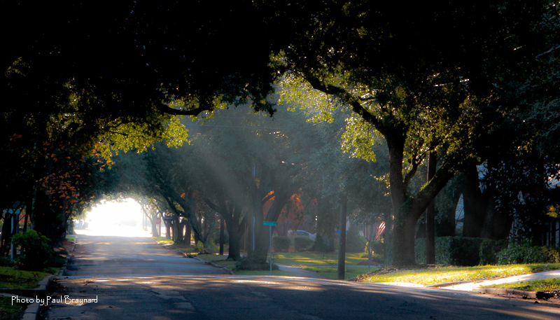
Sunrise on Meeting Street
I've had worse hotel views.

Window view
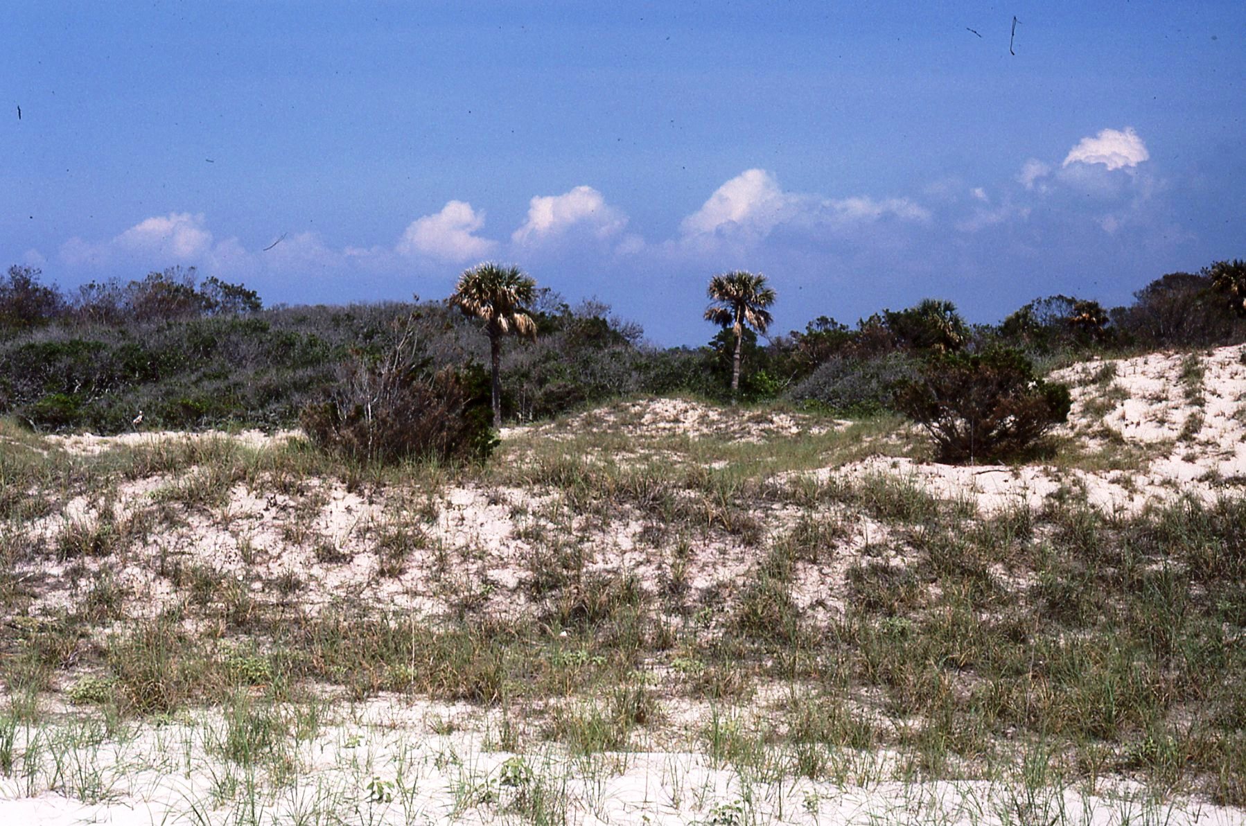
superdune, North Island
South Island, view south
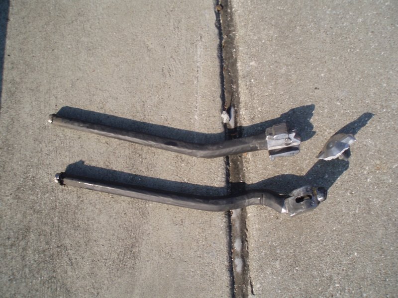
My kickstand broke--SHUCKS!
Tower View
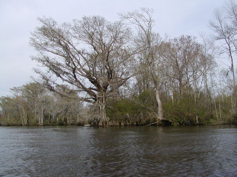
Waccamaw River Cypress Trees
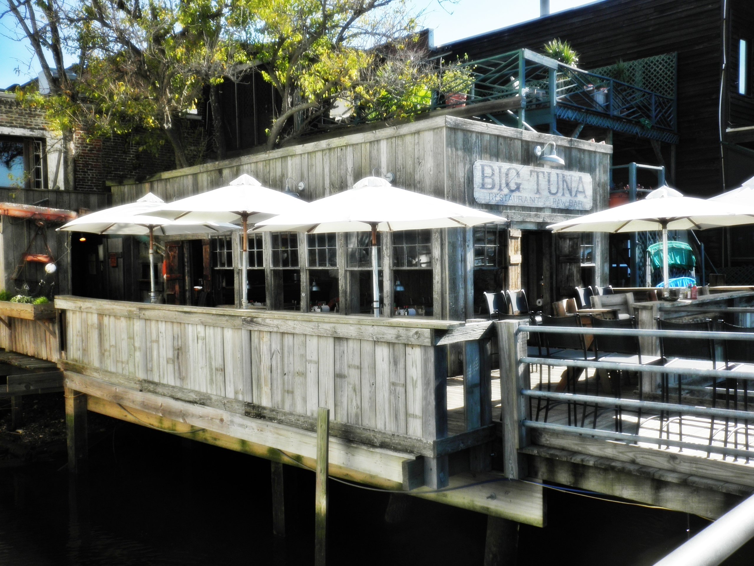
View of the Big Tuna from the boardwalk
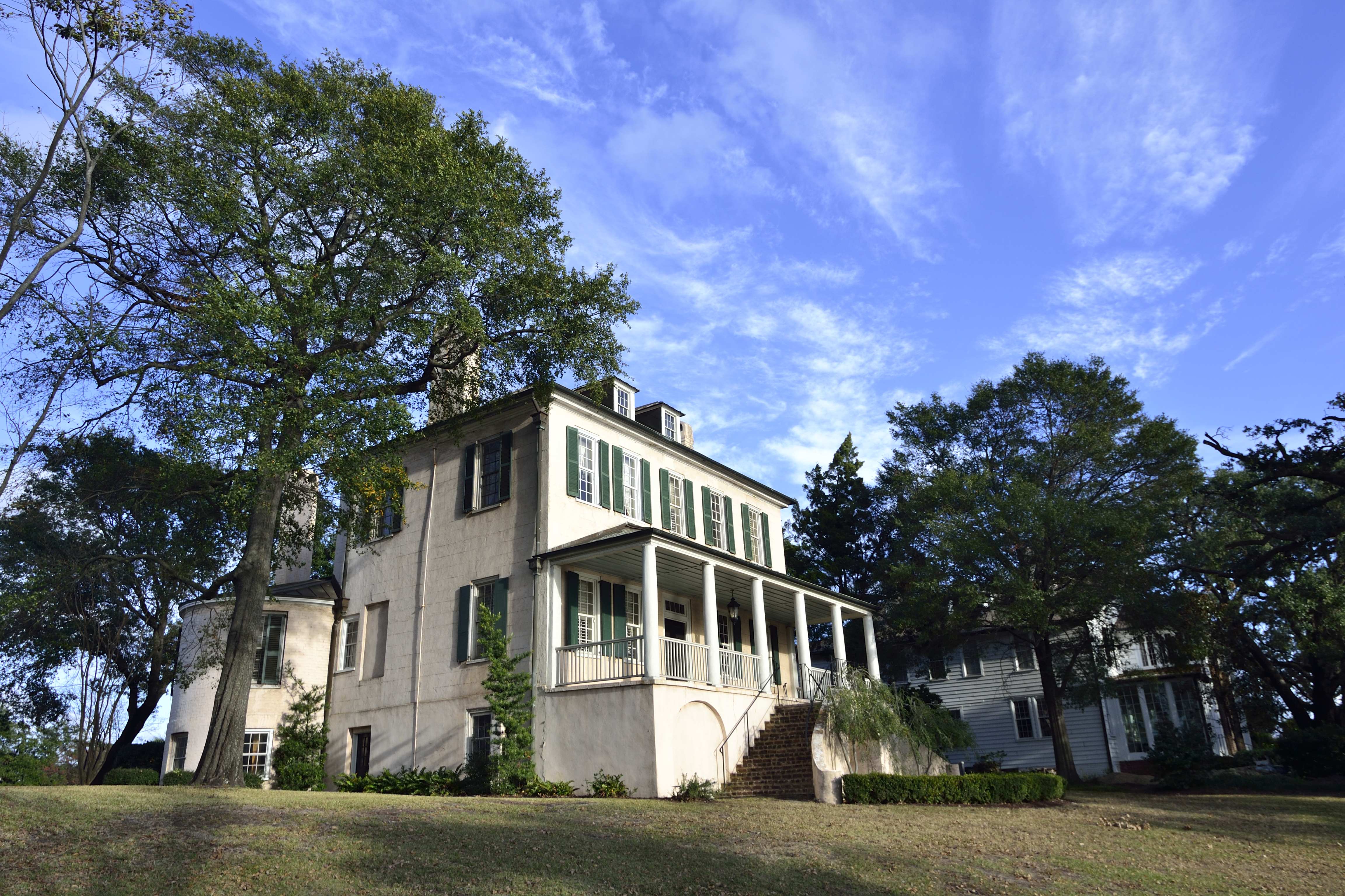
Kaminski House
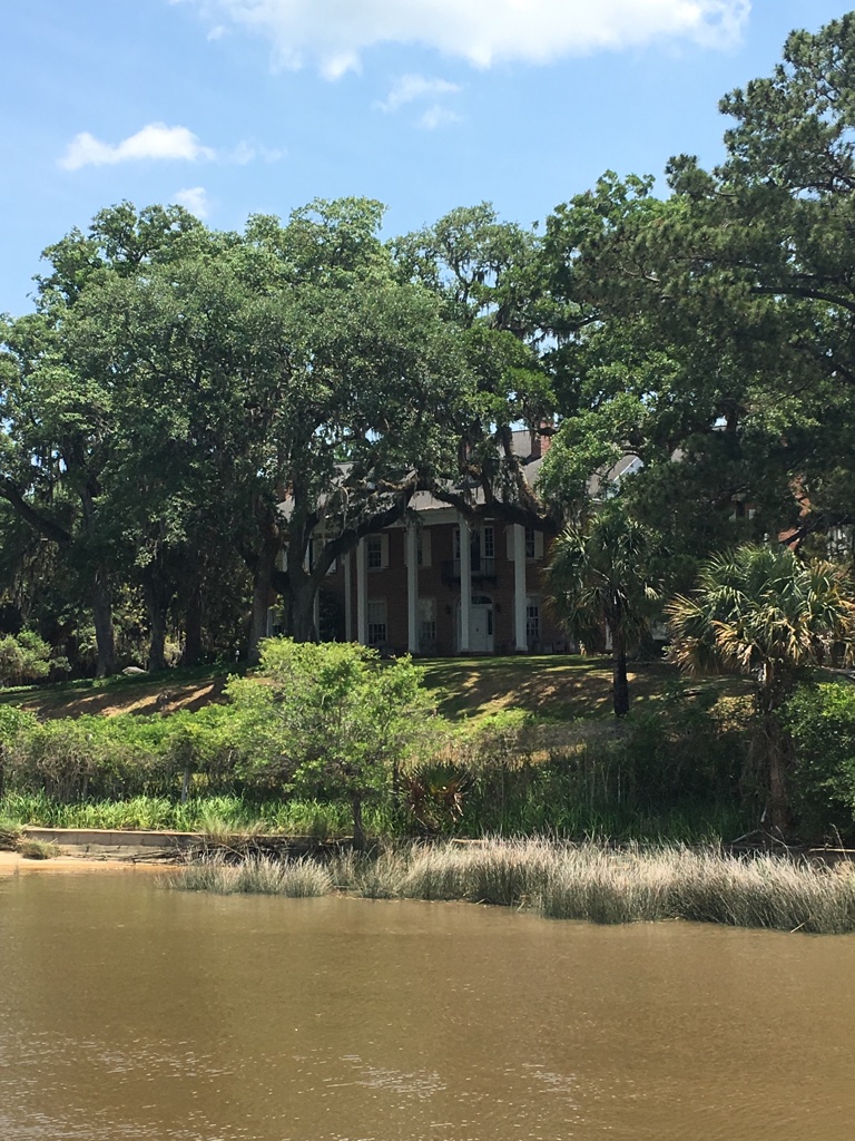
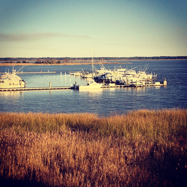
View of House from dock
View at the rear down to the bay
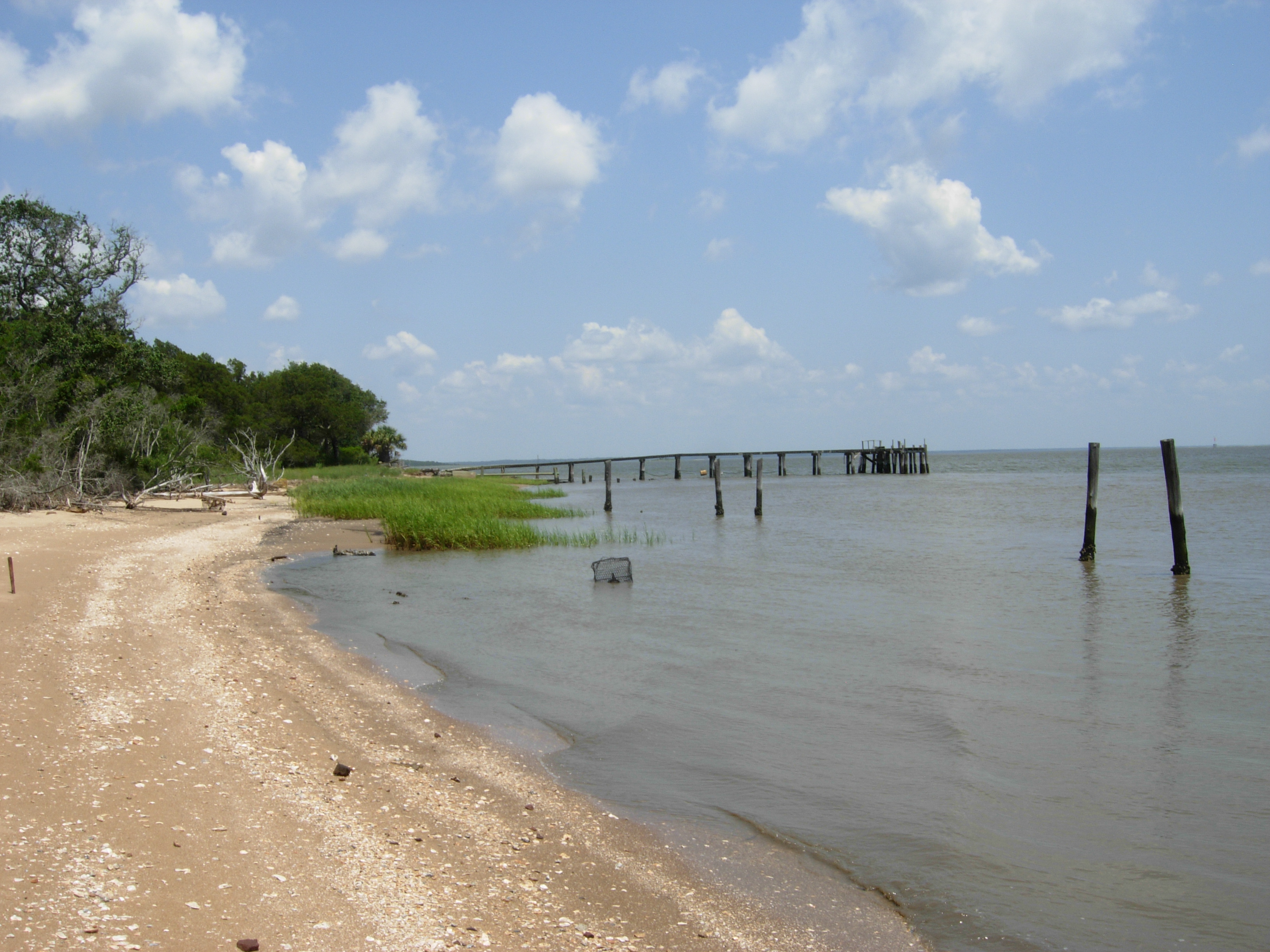
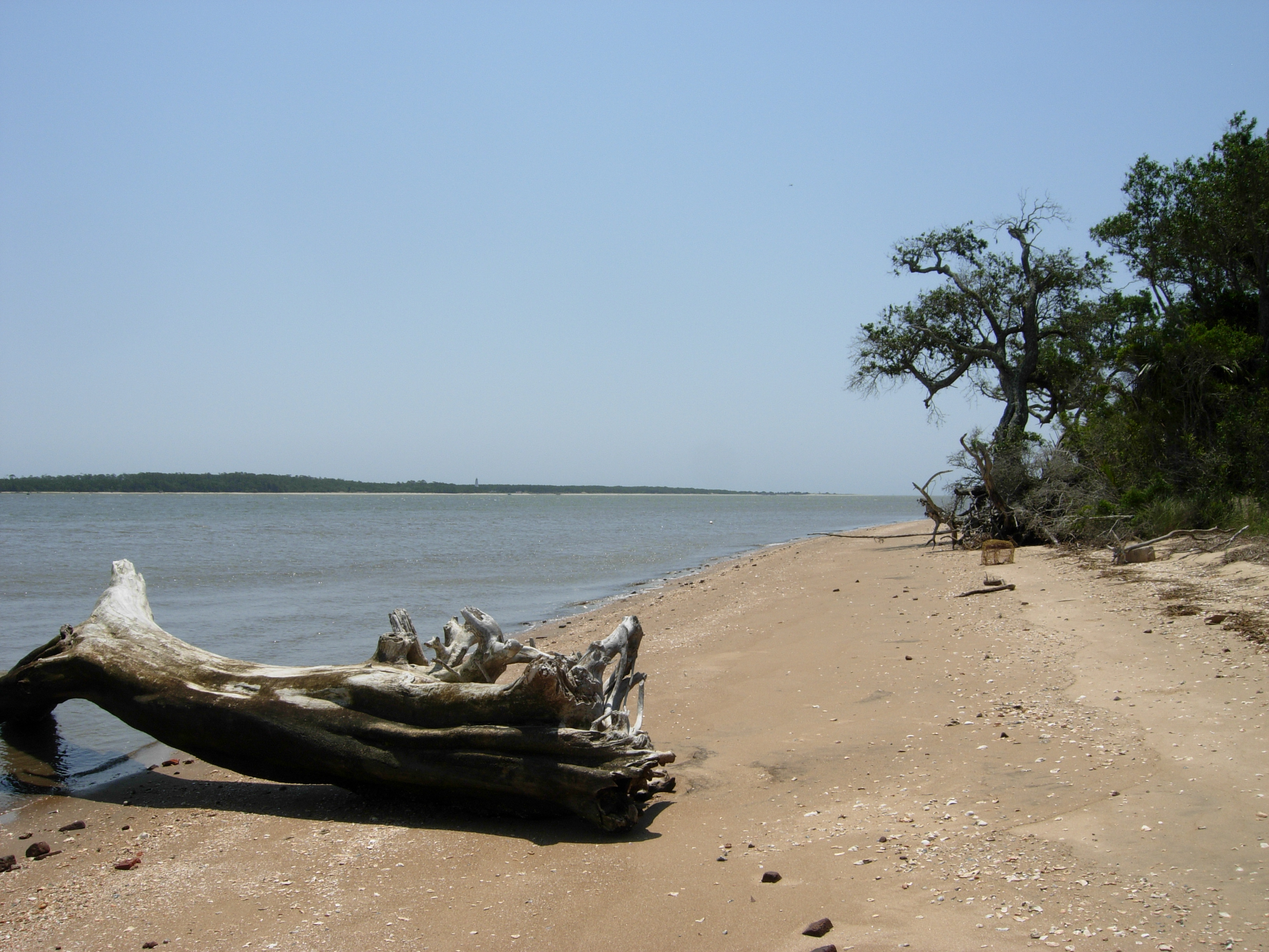
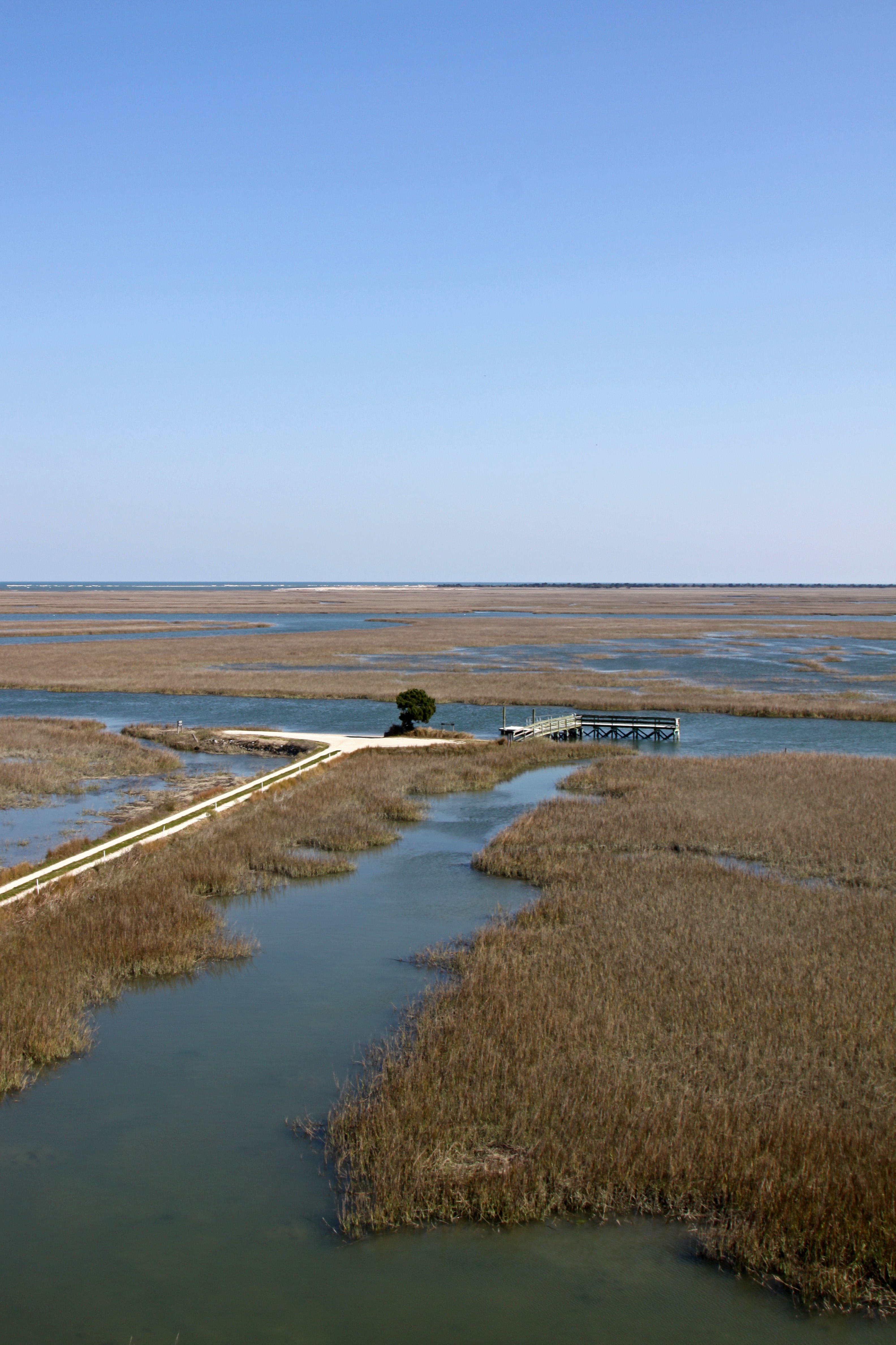
South Island, view north
Slave cabin window view
Front view with mounting block
DSC_5484 (Copy)
Nina Reproduction - Stern View
Side view
Topographic Map of Dawson St, Georgetown, SC, USA
Find elevation by address:

Places near Dawson St, Georgetown, SC, USA:
504 Dawson St
2404 S Island Rd
405 Birch St
2419 Fern St
2226 Old Charleston Rd
818 Cedar St
2624 Old Charleston Rd
2624 Old Charleston Rd
603 Britt St
S Island Rd, Georgetown, SC, USA
405 Glenwood St
2006 Cherry St
Loblolly Street
Oak Bay Drive
529 Bayview Dr
512 Bayview Dr
512 Bayview Dr
512 Bayview Dr
511 Bayview Dr
Recent Searches:
- Elevation of Corso Fratelli Cairoli, 35, Macerata MC, Italy
- Elevation of Tallevast Rd, Sarasota, FL, USA
- Elevation of 4th St E, Sonoma, CA, USA
- Elevation of Black Hollow Rd, Pennsdale, PA, USA
- Elevation of Oakland Ave, Williamsport, PA, USA
- Elevation of Pedrógão Grande, Portugal
- Elevation of Klee Dr, Martinsburg, WV, USA
- Elevation of Via Roma, Pieranica CR, Italy
- Elevation of Tavkvetili Mountain, Georgia
- Elevation of Hartfords Bluff Cir, Mt Pleasant, SC, USA