Elevation of Sand Flat Rd, Alpena, AR, USA
Location: United States > Arkansas > Boone County > Carrollton Township > Alpena >
Longitude: -93.229744
Latitude: 36.330516
Elevation: 370m / 1214feet
Barometric Pressure: 0KPa
Related Photos:

Golden Meadow

Smiling Dragonfly
Scarlet Branches Aglow

Male Widow Skimmer
current location: this! #rvsx
Bumper Crop of Orange

Blaze Across the Sky
⬇️ ⬅️↙️
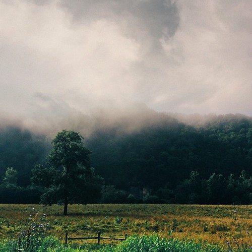
Morning in the valley
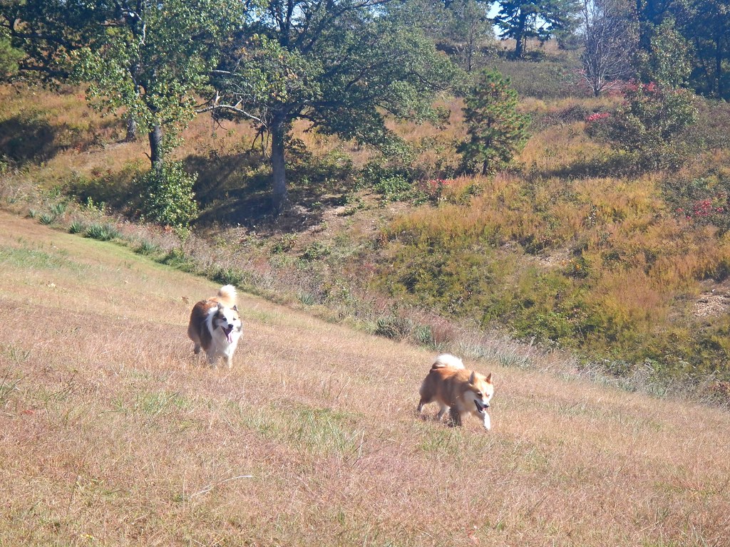
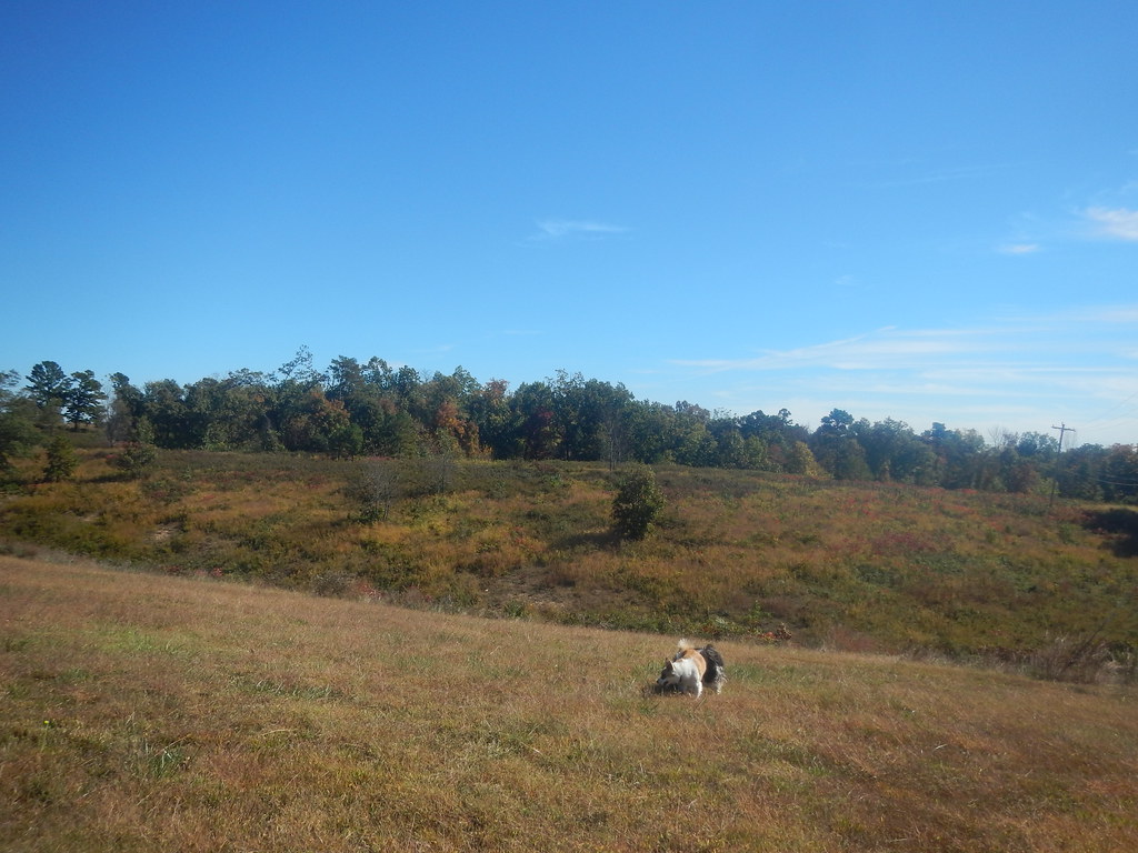
Skundi and Gaela

WPA Bridge-Side View

WPA Bridge-Deck View

WPA Bridge-North Approach
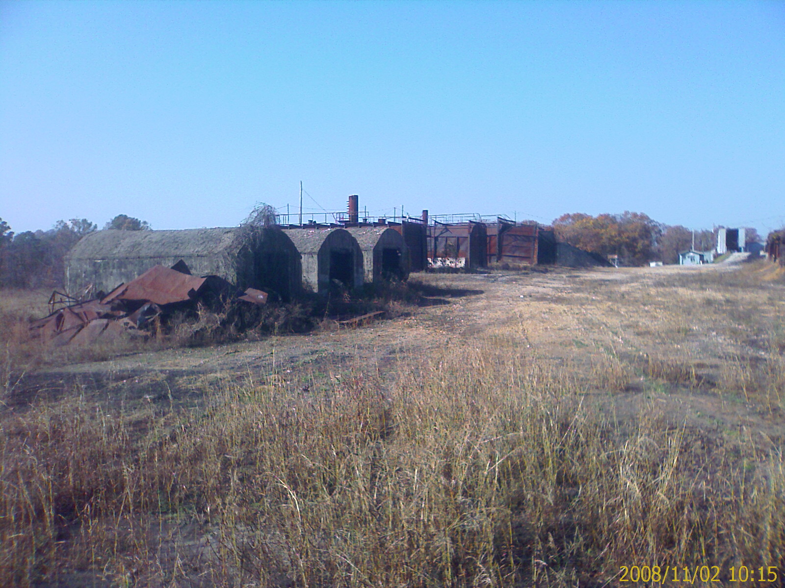
Old Charcoal plant.
Skundi and Gaela
Beautiful day today
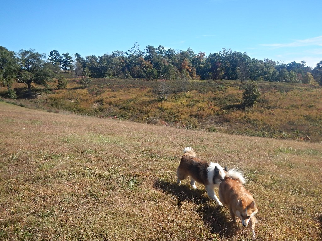
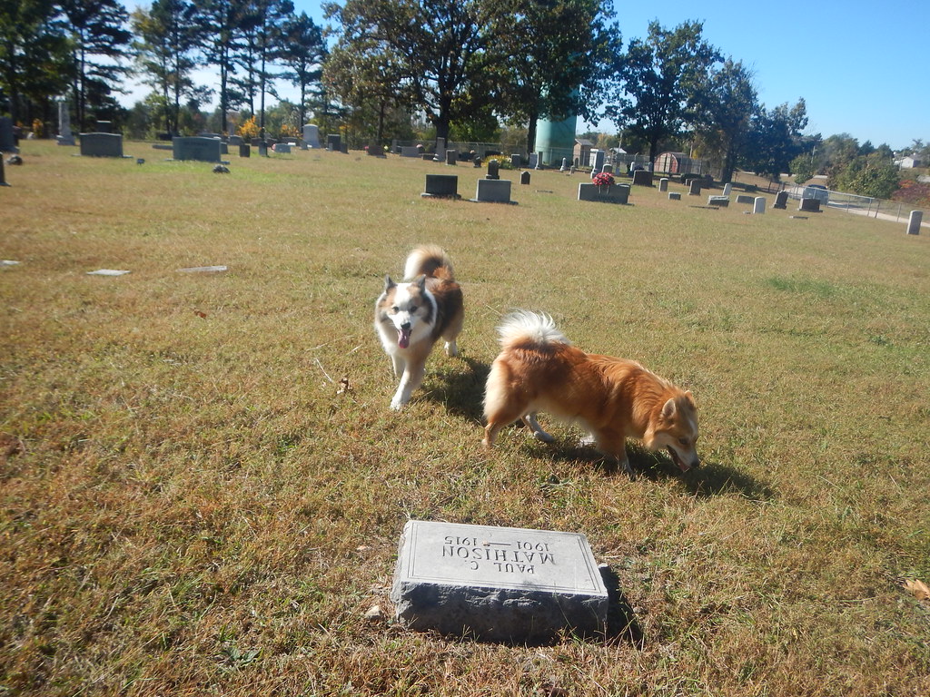
Skundi and Gaela
Topographic Map of Sand Flat Rd, Alpena, AR, USA
Find elevation by address:

Places near Sand Flat Rd, Alpena, AR, USA:
3114 Lacy Ln
1752 Austin Walker Ct
US-65, Harrison, AR, USA
Hwy 65 N, Harrison, AR, USA
Long Creek Township
AR-, Harrison, AR, USA
Carrollton Township
Jackson Township
Batavia Township
Old U.S. 65 N, Harrison, AR, USA
Alpena
US-62, Alpena, AR, USA
Cedar Rd, Harrison, AR, USA
Coin Township
County Road 811
7531 Terrapin Creek Rd
Coker Lane
Carrollton
US-, Alpena, AR, USA
U.s. 412
Recent Searches:
- Elevation map of Greenland, Greenland
- Elevation of Sullivan Hill, New York, New York, 10002, USA
- Elevation of Morehead Road, Withrow Downs, Charlotte, Mecklenburg County, North Carolina, 28262, USA
- Elevation of 2800, Morehead Road, Withrow Downs, Charlotte, Mecklenburg County, North Carolina, 28262, USA
- Elevation of Yangbi Yi Autonomous County, Yunnan, China
- Elevation of Pingpo, Yangbi Yi Autonomous County, Yunnan, China
- Elevation of Mount Malong, Pingpo, Yangbi Yi Autonomous County, Yunnan, China
- Elevation map of Yongping County, Yunnan, China
- Elevation of North 8th Street, Palatka, Putnam County, Florida, 32177, USA
- Elevation of 107, Big Apple Road, East Palatka, Putnam County, Florida, 32131, USA
- Elevation of Jiezi, Chongzhou City, Sichuan, China
- Elevation of Chongzhou City, Sichuan, China
- Elevation of Huaiyuan, Chongzhou City, Sichuan, China
- Elevation of Qingxia, Chengdu, Sichuan, China
- Elevation of Corso Fratelli Cairoli, 35, Macerata MC, Italy
- Elevation of Tallevast Rd, Sarasota, FL, USA
- Elevation of 4th St E, Sonoma, CA, USA
- Elevation of Black Hollow Rd, Pennsdale, PA, USA
- Elevation of Oakland Ave, Williamsport, PA, USA
- Elevation of Pedrógão Grande, Portugal