Elevation of Long Creek Township, AR, USA
Location: United States > Arkansas > Boone County >
Longitude: -93.238251
Latitude: 36.3710602
Elevation: 427m / 1401feet
Barometric Pressure: 96KPa
Elevation Map:
Satellite Map:
Related Photos:
current location: this! #rvsx

WPA Bridge-Side View

WPA Bridge-Deck View

WPA Bridge-North Approach
Old Charcoal plant.

2013 09 17 ANDY'S VACATION (0539)
Skundi and Gaela
Skundi and Gaela
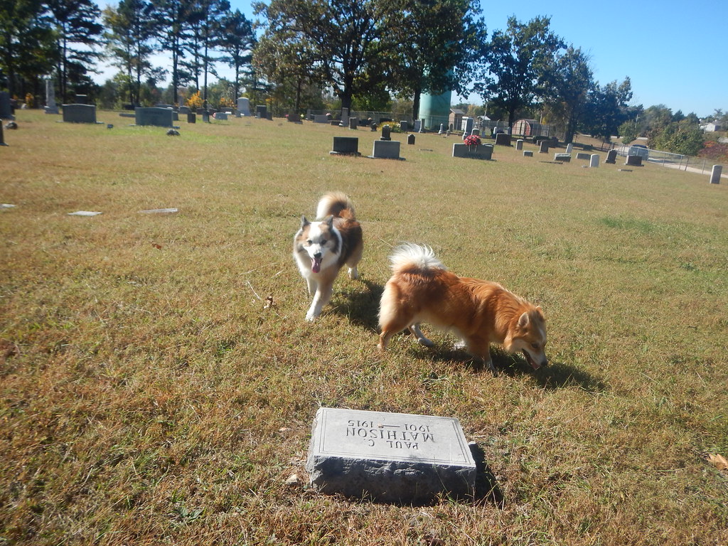
Skundi and Gaela
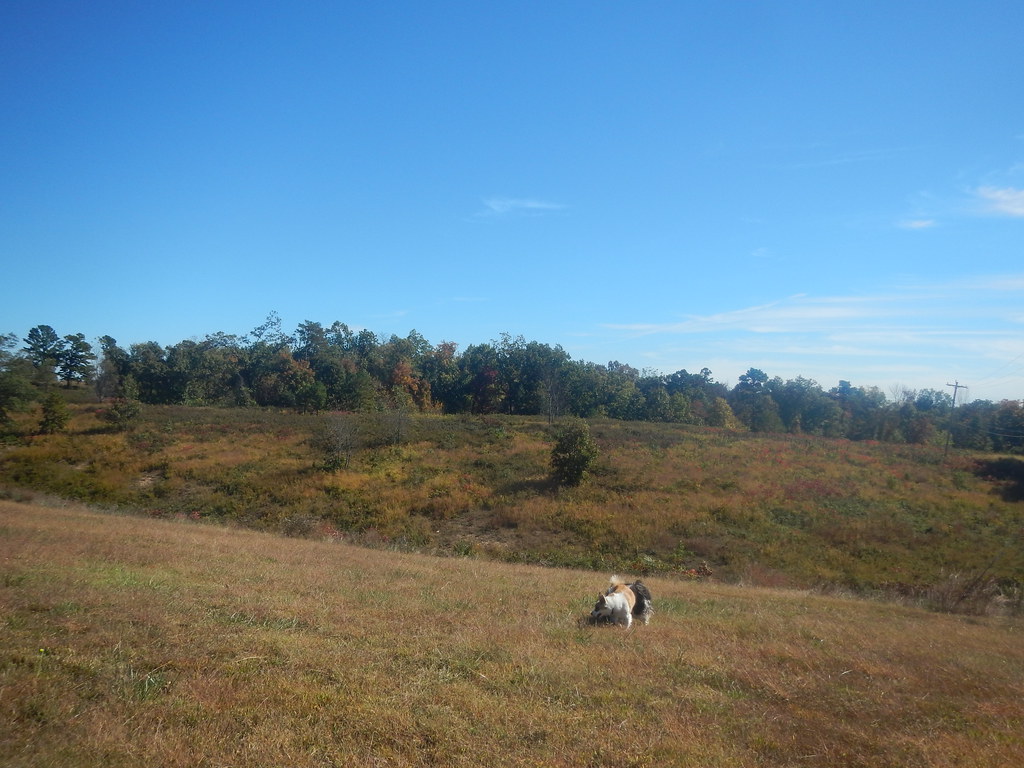
Beautiful day today
Topographic Map of Long Creek Township, AR, USA
Find elevation by address:

Places near Long Creek Township, AR, USA:
Sand Flat Rd, Alpena, AR, USA
3114 Lacy Ln
US-65, Harrison, AR, USA
1752 Austin Walker Ct
Hwy 65 N, Harrison, AR, USA
AR-, Harrison, AR, USA
Carrollton Township
County Road 811
Jackson Township
Coin Township
US-62, Alpena, AR, USA
Alpena
Old U.S. 65 N, Harrison, AR, USA
Batavia Township
Cedar Rd, Harrison, AR, USA
Carrollton
US-, Alpena, AR, USA
US-62, Green Forest, AR, USA
7531 Terrapin Creek Rd
Coker Lane
Recent Searches:
- Elevation of Corso Fratelli Cairoli, 35, Macerata MC, Italy
- Elevation of Tallevast Rd, Sarasota, FL, USA
- Elevation of 4th St E, Sonoma, CA, USA
- Elevation of Black Hollow Rd, Pennsdale, PA, USA
- Elevation of Oakland Ave, Williamsport, PA, USA
- Elevation of Pedrógão Grande, Portugal
- Elevation of Klee Dr, Martinsburg, WV, USA
- Elevation of Via Roma, Pieranica CR, Italy
- Elevation of Tavkvetili Mountain, Georgia
- Elevation of Hartfords Bluff Cir, Mt Pleasant, SC, USA