Elevation of San Guillermo Mountain, California, USA
Location: United States > California > Ventura County > Frazier Park >
Longitude: -119.14760
Latitude: 34.6952613
Elevation: 1962m / 6437feet
Barometric Pressure: 80KPa
Elevation Map:
Satellite Map:
Related Photos:
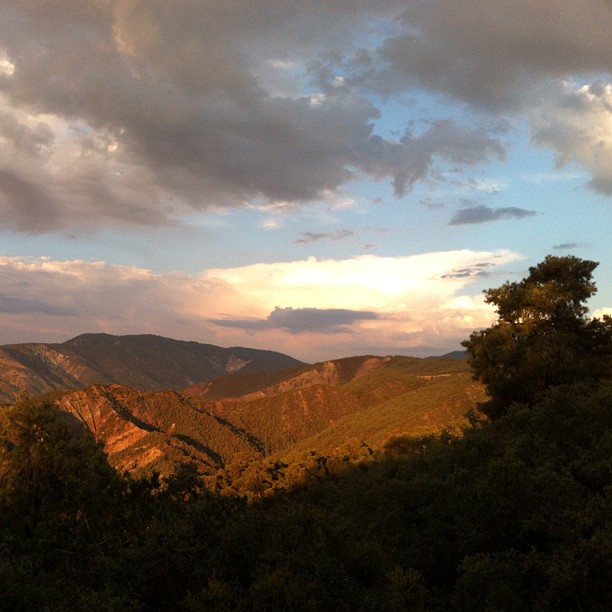
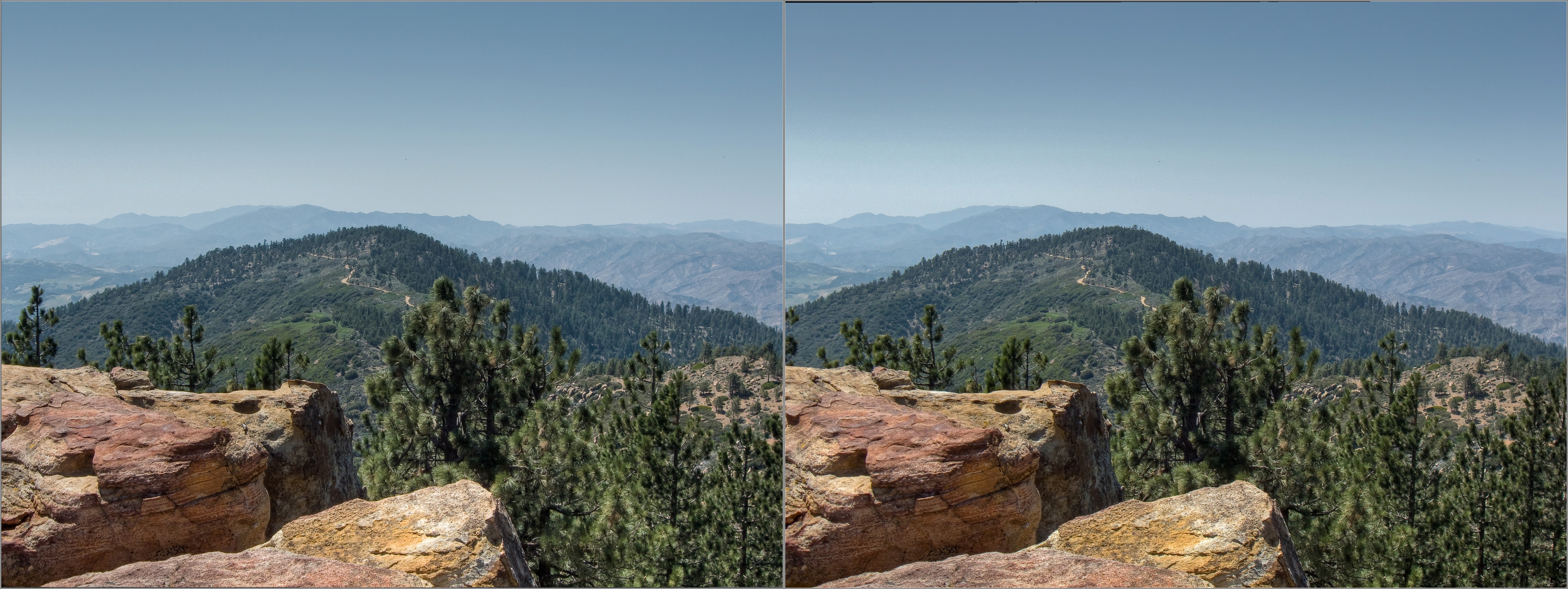
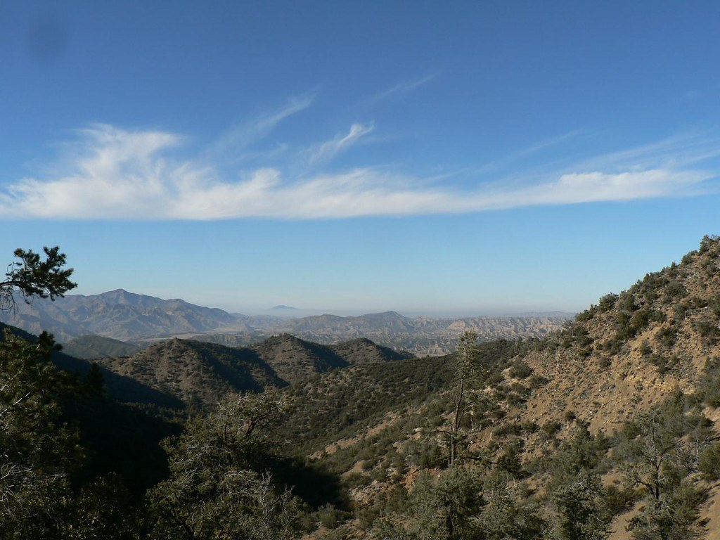
View from Mount Pinos 1
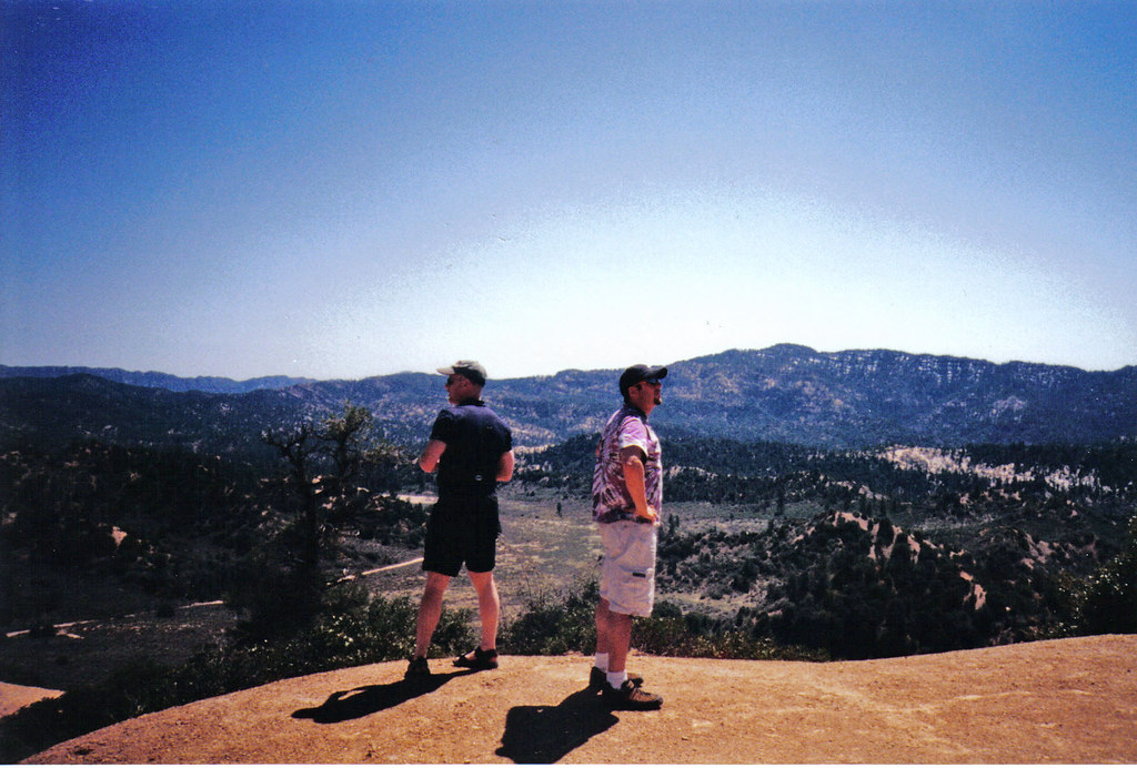
amazing views
View North from the Summit Pan 3d
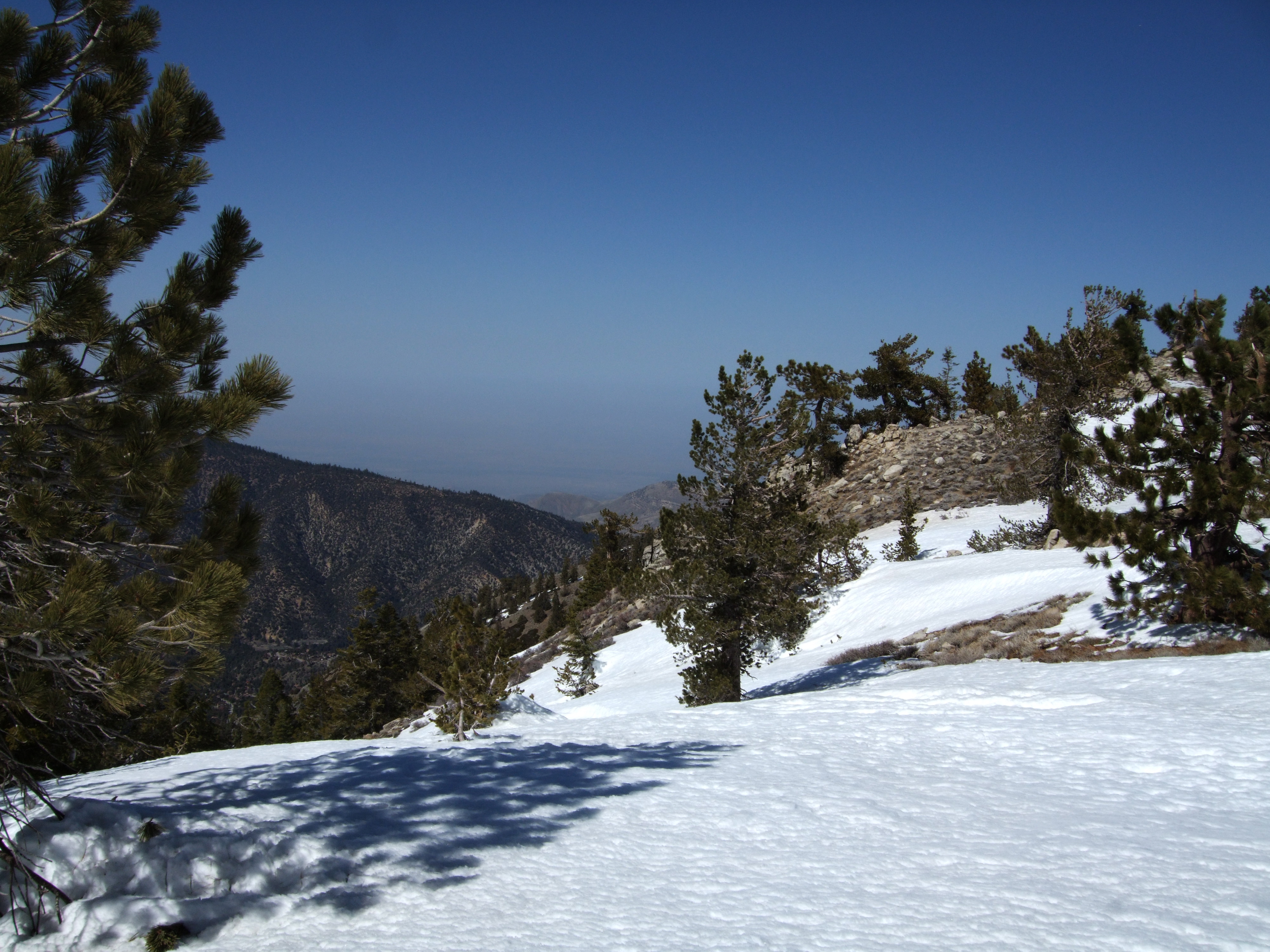
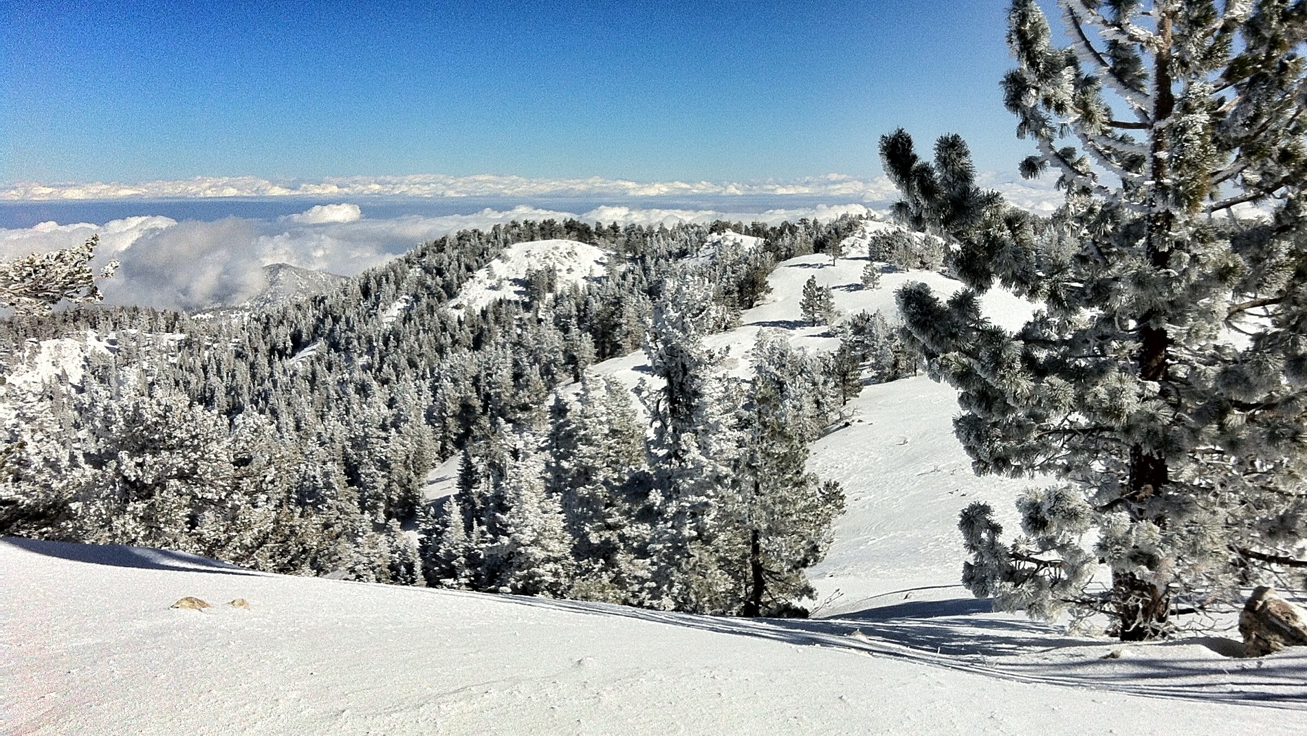
Mt. Pinos - X-Country Skiing - 3/23/08 - DSCF0587.JPG
The view from our campsite
Mt. Pinos - X-Country Skiing - 3/23/08 - DSCF0590.JPG
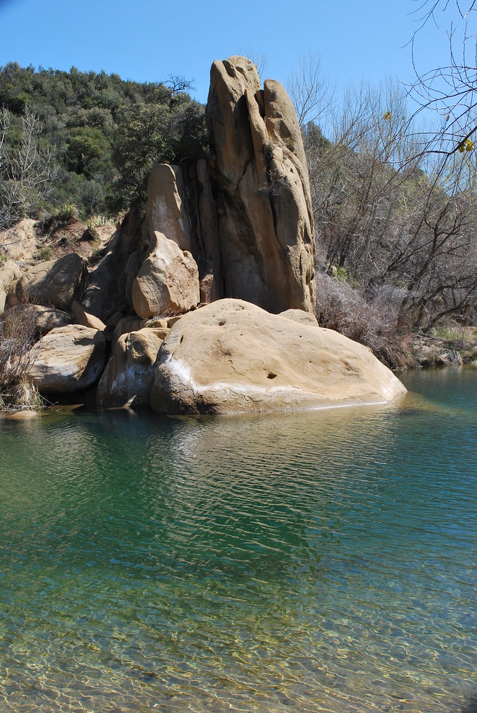
Rock Formation
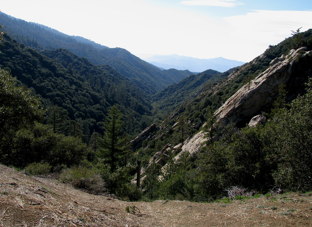
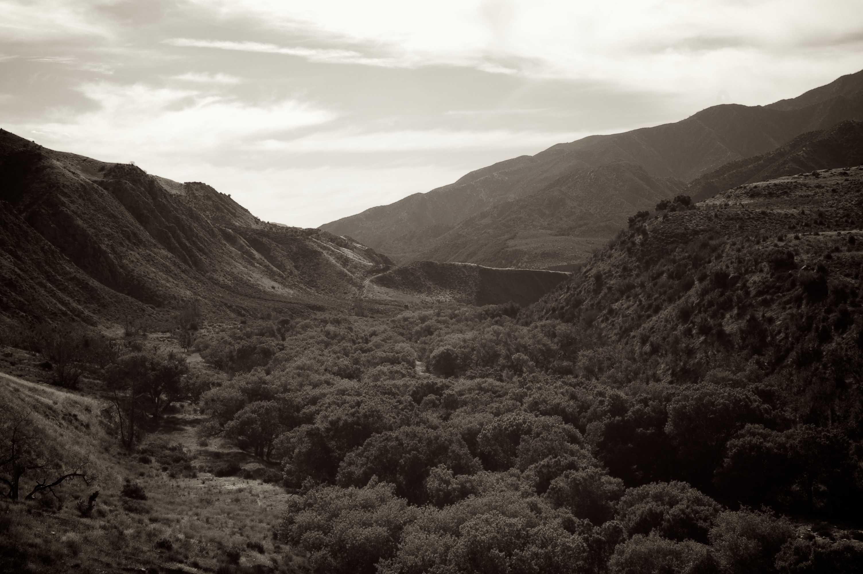
Facing North On Top Of The Pine Mountain Ridgeline: Bear Creek Headwaters And the Lockwood Valley Beyond
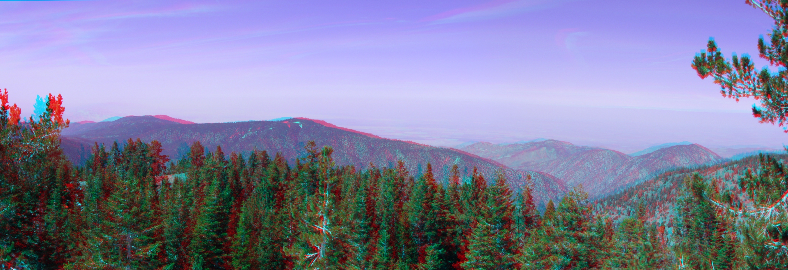
View WSW from Reyes Peak-2 pseudo_hdr coss-view 3d
View from the summit of Mt Pinos
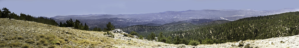
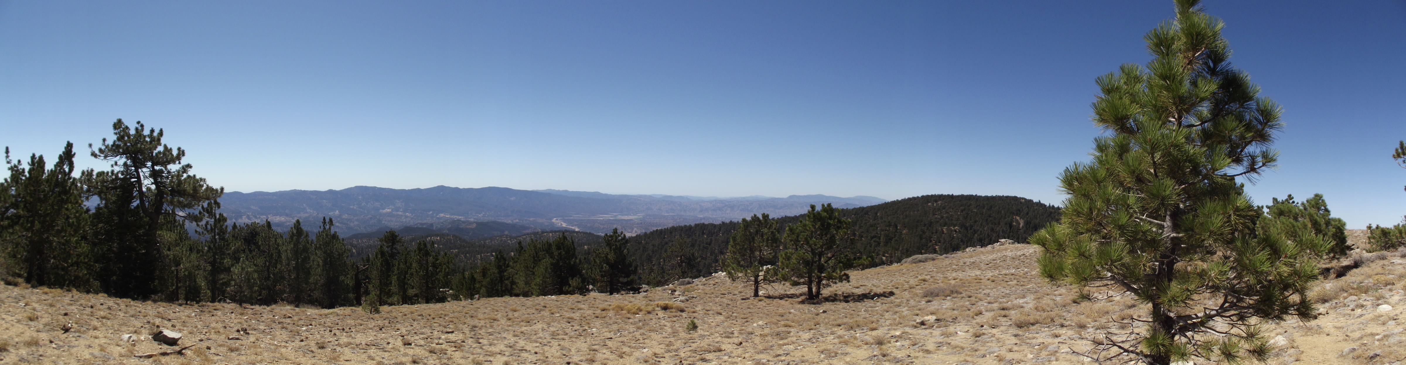
Mt. Pinos (Panoramic)
Half Moon Campground

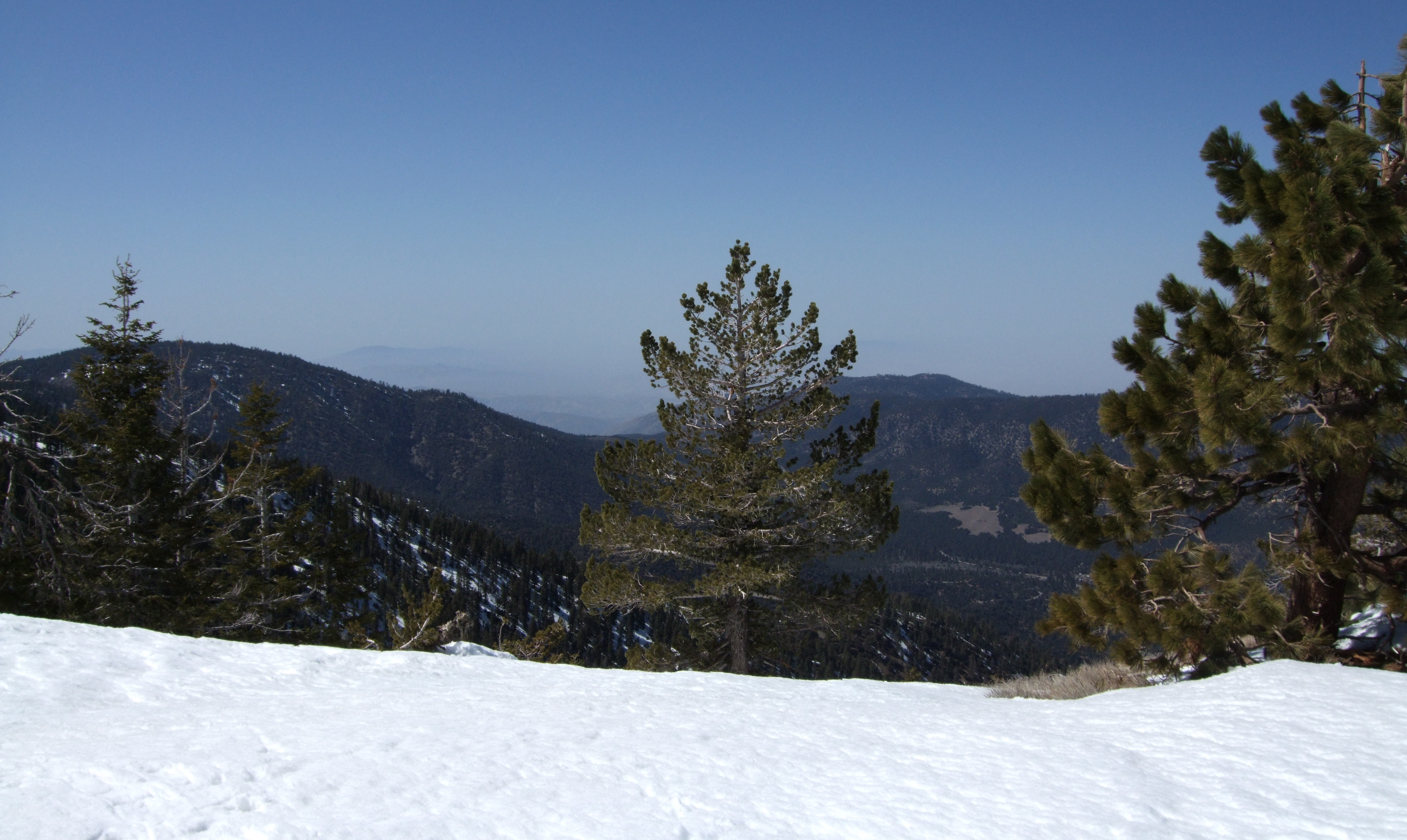
View from Haddock Mountain
View North from Raspberry/Reyes Saddle
Topographic Map of San Guillermo Mountain, California, USA
Find elevation by address:

Places near San Guillermo Mountain, California, USA:
Lockwood Peak
Half Moon Campground
Lockwood Valley Rd, Frazier Park, CA, USA
Mill Canyon Road
Alamo Mountain
Frazier Mountain
Forest Route 8n01a
Kings Campground
Sewart Mountain
Snowy Peak
Upper Scrub Oak Campground
Lower Scrub Oak Campground
Sterling Canyon Campground
Edison Campground
Honey Valley Group Campground
Smith Forks Campground
Aliklik Campground
San Andreas Fault - Pacific Plate And North American Plate Visible Boundary
Tejon Pass
Lane Ranch Campground
Recent Searches:
- Elevation of Corso Fratelli Cairoli, 35, Macerata MC, Italy
- Elevation of Tallevast Rd, Sarasota, FL, USA
- Elevation of 4th St E, Sonoma, CA, USA
- Elevation of Black Hollow Rd, Pennsdale, PA, USA
- Elevation of Oakland Ave, Williamsport, PA, USA
- Elevation of Pedrógão Grande, Portugal
- Elevation of Klee Dr, Martinsburg, WV, USA
- Elevation of Via Roma, Pieranica CR, Italy
- Elevation of Tavkvetili Mountain, Georgia
- Elevation of Hartfords Bluff Cir, Mt Pleasant, SC, USA