Elevation of San Cristóbal Norte, San José, Costa Rica
Location: Costa Rica > San Jose >
Longitude: -84.007488
Latitude: 9.7723979
Elevation: 1681m / 5515feet
Barometric Pressure: 83KPa
Elevation Map:
Satellite Map:
Related Photos:

Vista hacia las montañas, paisaje cultural/ View towards the mountains, cultural landscape

Otra vista del valle del río Pirrís, entre Copey y Santa María de Dota/ Another view of the Pirrís river valley, between Copey and Santa María, Dota canton

Otra vista del paisaje entre Copey y Santa María de Dota/ Another view of the landscape between Copey and Santa María, Dota canton

Cartago to Church
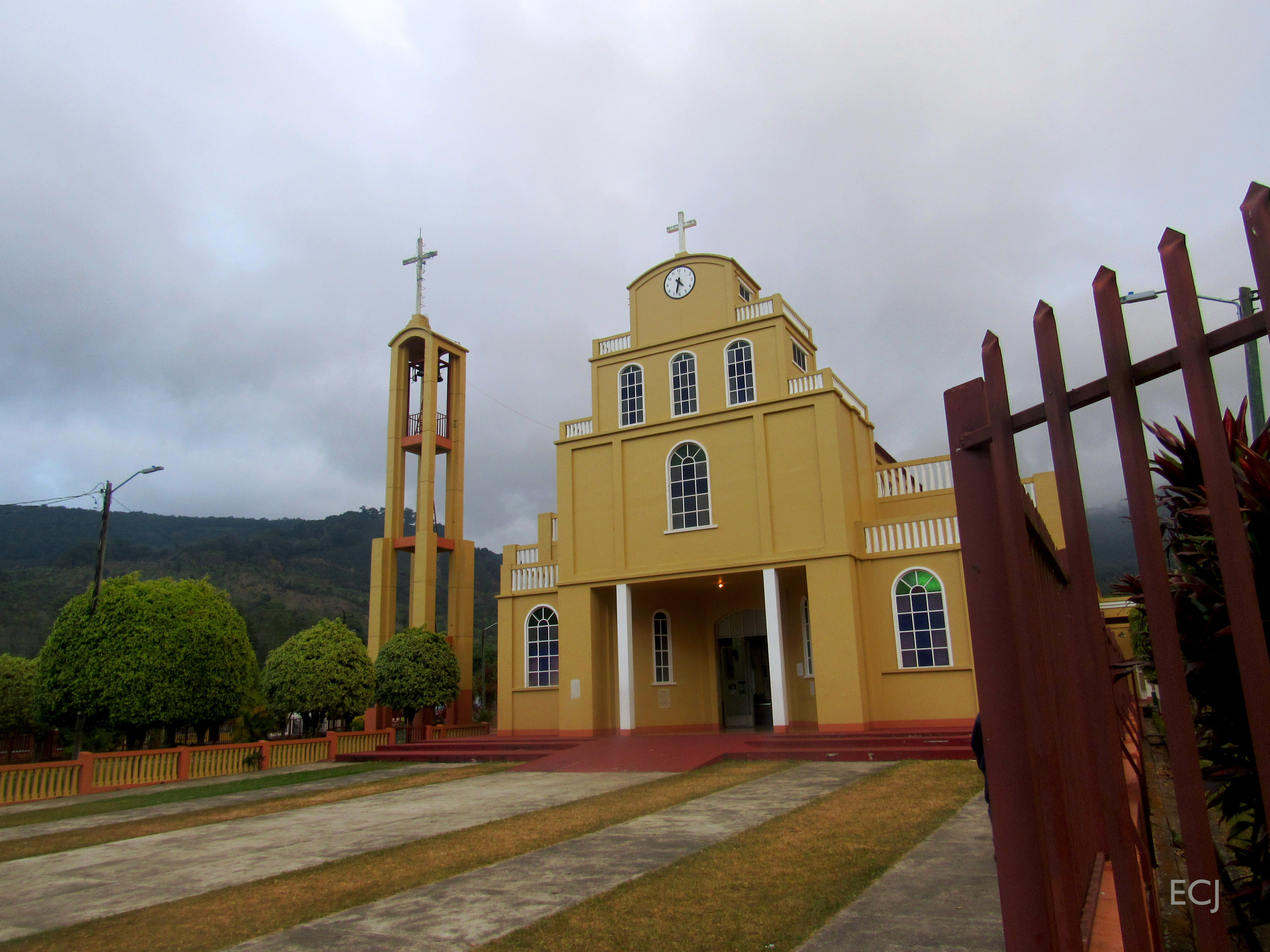
Otra vista de la iglesia de Santa María de Dota. Esta es la última foto de esta caminata/ Another view of the church at Santa María, Dota canton. This is the last picture from this hike

Otra vista del paisaje desde la carretera entre Copey y Santa María de Dota/ Another view of the landscape from the road between Copey and Santa María, Dota canton

Curvas, vista de la carretera bajando de Copey hacia Santa María de Dota/ Curves, view of the road between Copey and Santa María de Dota

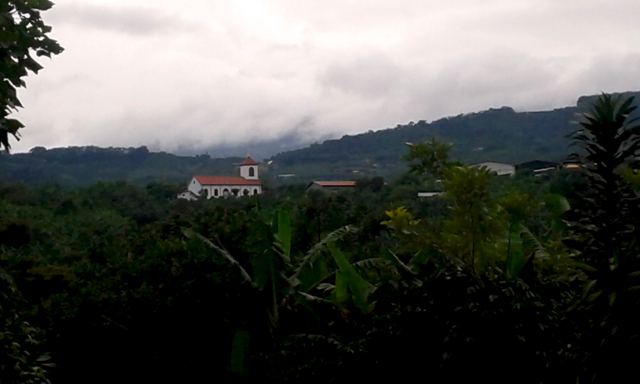
View of Santa María de Dota, Dota's canton seat, and the river valley it stands at

Vista del valle del río Pirrís, entre Copey y Santa María de Dota/ View of the Pirrís river valley, between Copey and Santa María

Otra vista de la catarata llegando a Santa María de Dota/ Another view of the waterfall near Santa María, Dota canton

The first view from Santa María, the county seat of Dota

The last view from the town of Copey

Otra vista de la catarata, en la carretera entre Copey y Santa María de Dota / Another view of the waterfall between Copey and Santa María, Dota canton
Today is the turn of the travel pics: View towarsds the town of Loma Larga, Corralillo de Cartago

Vista de las montañas alrededor del río Pirrís/ View of the mountains around Pirrís river valley

View of Santa María de Dota, the county seat

Prairie and view
View - Vista desde San Marcos de Tarrazú, San José, Costa Rica

Another view from the facade of the Jesús Jiménez Zamora elementary school, one of the main schools in central Cartago

Another view from Abarca Herrera bahareque house

Basilica de Desamparados

El árbol ante el valle del río Pirrís / The tree before the Pirrís river valley

Camino adentrándose en la montaña/ A road going deeper into the mountains

Una última foto de la catarata entre Copey y Santa María de Dota/ A last picture of the waterfall between Copey and Santa María, Dota canton

Paisaje del valle del río Pirrís, entre Copey y Santa María de Dota/ Landscape of the Pirrís river valley, between Copey and Santa María, Dota canton

Paisaje del valle entre Copey y Santa María de Dota/ Landscape on the valley between Copey and Santa María, Dota canton

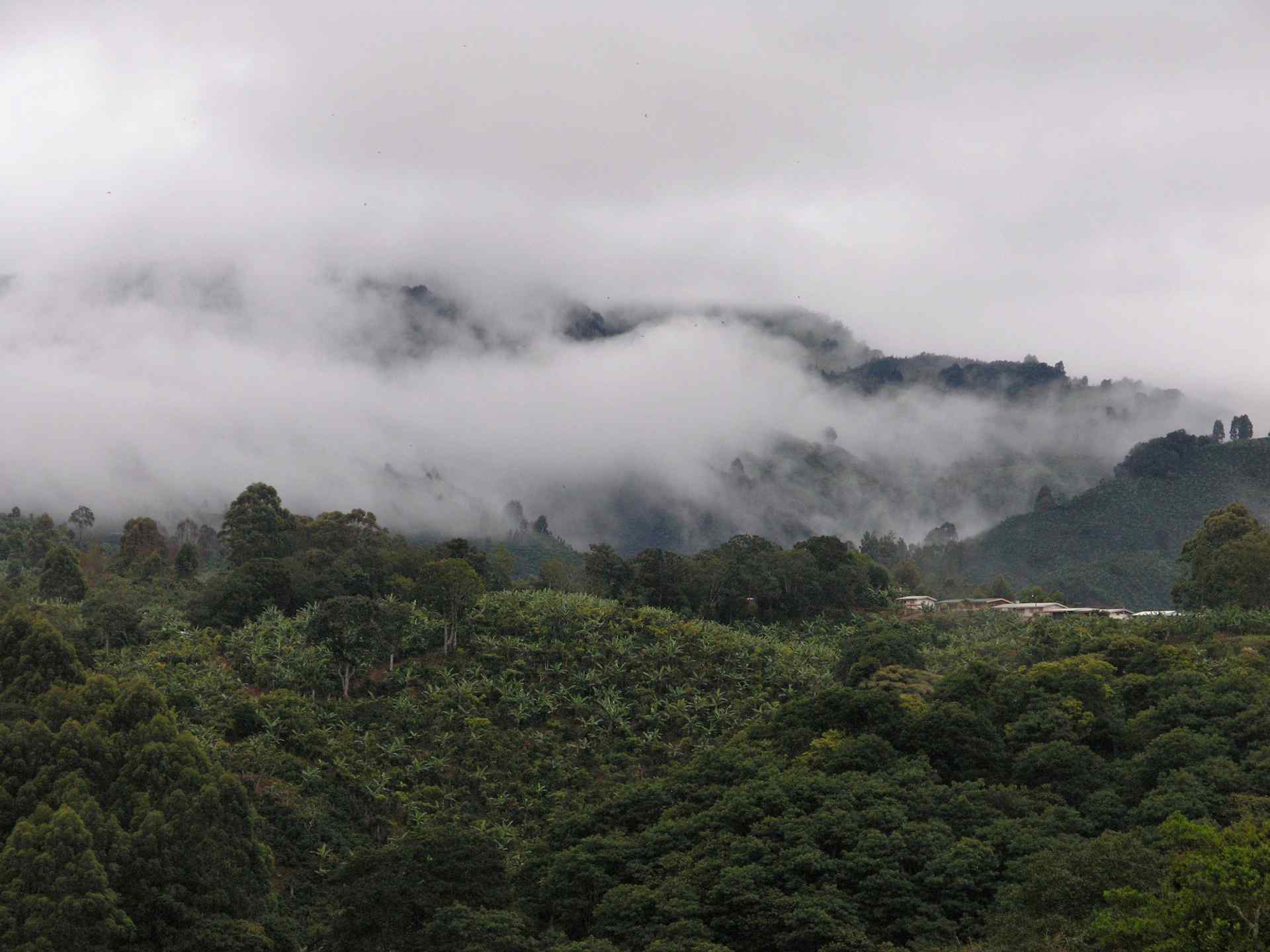
The valleys after the rain

Follaje cerca de la catarata, entre Copey y Santa María de Dota / Foliage by the waterfall, on the road between Copey and Santa María, Dota canton

After leaving Rosario

Árbol contra el cielo azul profundo, camino entre Copey y Santa María de Dota/ Tree with the backdrop of the sky, road between Copey and Santa María. Dota canton

Landscape towards the Bustamante sierra/Paisaje mirando hacia la fila de Bustamante

El pueblo de Loma Larga, desde la lejanía/The town of Loma Larga, from afar
Topographic Map of San Cristóbal Norte, San José, Costa Rica
Find elevation by address:

Places near San Cristóbal Norte, San José, Costa Rica:
Q2j5+vm
Q2mm+xw
Cabaña Quetzal
Loma Larga
Cabinas Turísticas Cerro Alto
Cerro Alto
San Isidro
San Andrés De León Cortés
San Marcos
San Rafael
Ram Luna
Santa María De Dota
Soda La Trucha
Tres De Junio
Cedral
San Jose
Orosi Valley Lodge
Licorera Del Valle Orosi
Paraíso
Fundación Nubotropica
Recent Searches:
- Elevation of Corso Fratelli Cairoli, 35, Macerata MC, Italy
- Elevation of Tallevast Rd, Sarasota, FL, USA
- Elevation of 4th St E, Sonoma, CA, USA
- Elevation of Black Hollow Rd, Pennsdale, PA, USA
- Elevation of Oakland Ave, Williamsport, PA, USA
- Elevation of Pedrógão Grande, Portugal
- Elevation of Klee Dr, Martinsburg, WV, USA
- Elevation of Via Roma, Pieranica CR, Italy
- Elevation of Tavkvetili Mountain, Georgia
- Elevation of Hartfords Bluff Cir, Mt Pleasant, SC, USA