Elevation of Q2MM+XW Estrella, Costa Rica
Location: Costa Rica > Cartago >
Longitude: -83.965187
Latitude: 9.7849375
Elevation: 1684m / 5525feet
Barometric Pressure: 83KPa
Elevation Map:
Satellite Map:
Related Photos:

Otra vista del valle del río Pirrís, entre Copey y Santa María de Dota/ Another view of the Pirrís river valley, between Copey and Santa María, Dota canton

Vista hacia las montañas, paisaje cultural/ View towards the mountains, cultural landscape

Vista hacia Cartago, desde La Chinchilla/ View towards Cartago, from La Chinchilla

Otra vista del paisaje entre Copey y Santa María de Dota/ Another view of the landscape between Copey and Santa María, Dota canton
Vista hacia el pueblo de Trinidad de Dota/ View towards the town of Trinidad, Dota canton
Otra vista del camino en la montaña/ Another view from the road in the mountains

Cartago to Church
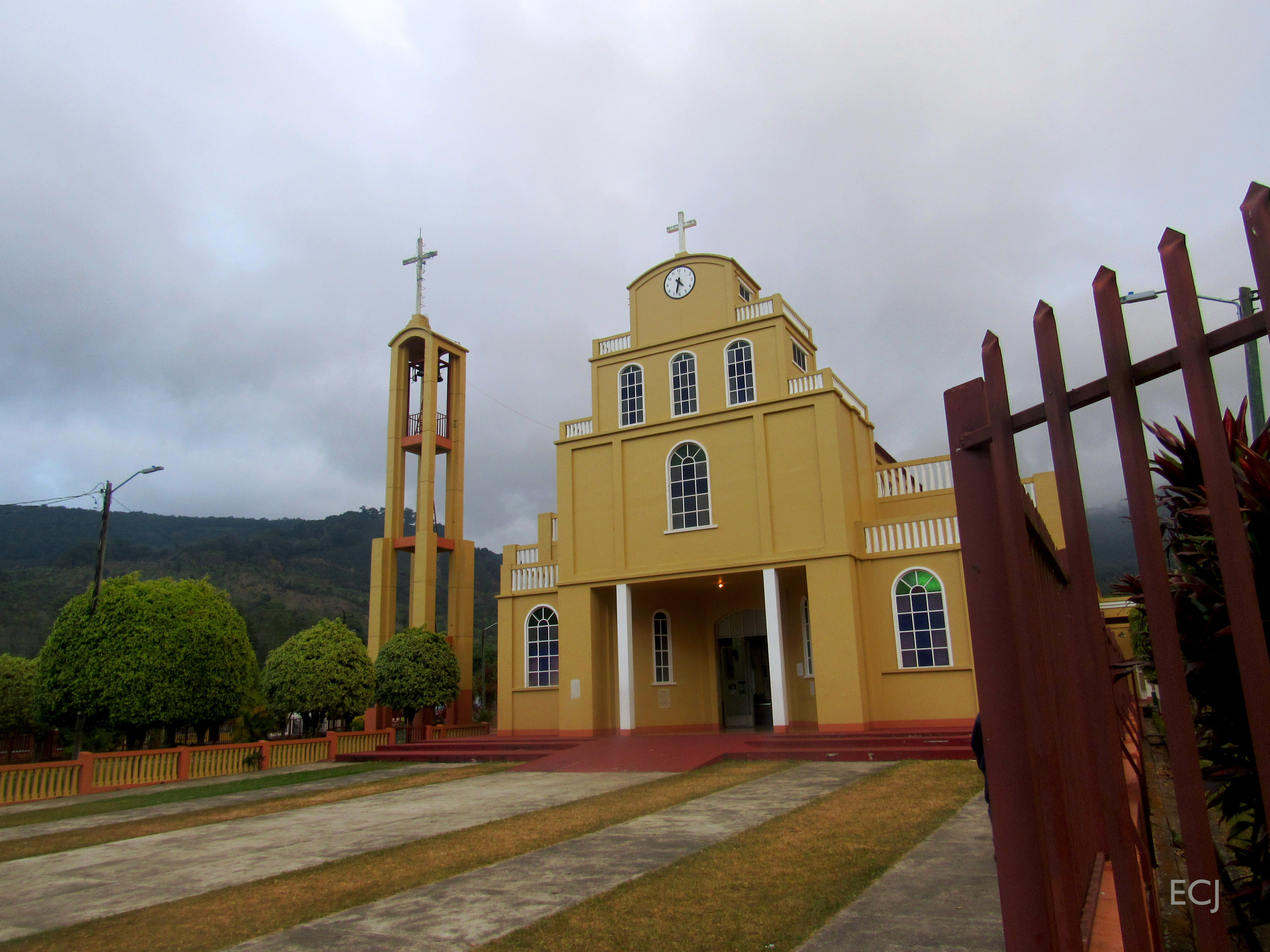
Otra vista de la iglesia de Santa María de Dota. Esta es la última foto de esta caminata/ Another view of the church at Santa María, Dota canton. This is the last picture from this hike

Otra vista del paisaje desde la carretera entre Copey y Santa María de Dota/ Another view of the landscape from the road between Copey and Santa María, Dota canton

Curvas, vista de la carretera bajando de Copey hacia Santa María de Dota/ Curves, view of the road between Copey and Santa María de Dota

Ruins of Ujarrás

Iglesia de San Jose de Orosi

Vista del valle del río Pirrís, entre Copey y Santa María de Dota/ View of the Pirrís river valley, between Copey and Santa María

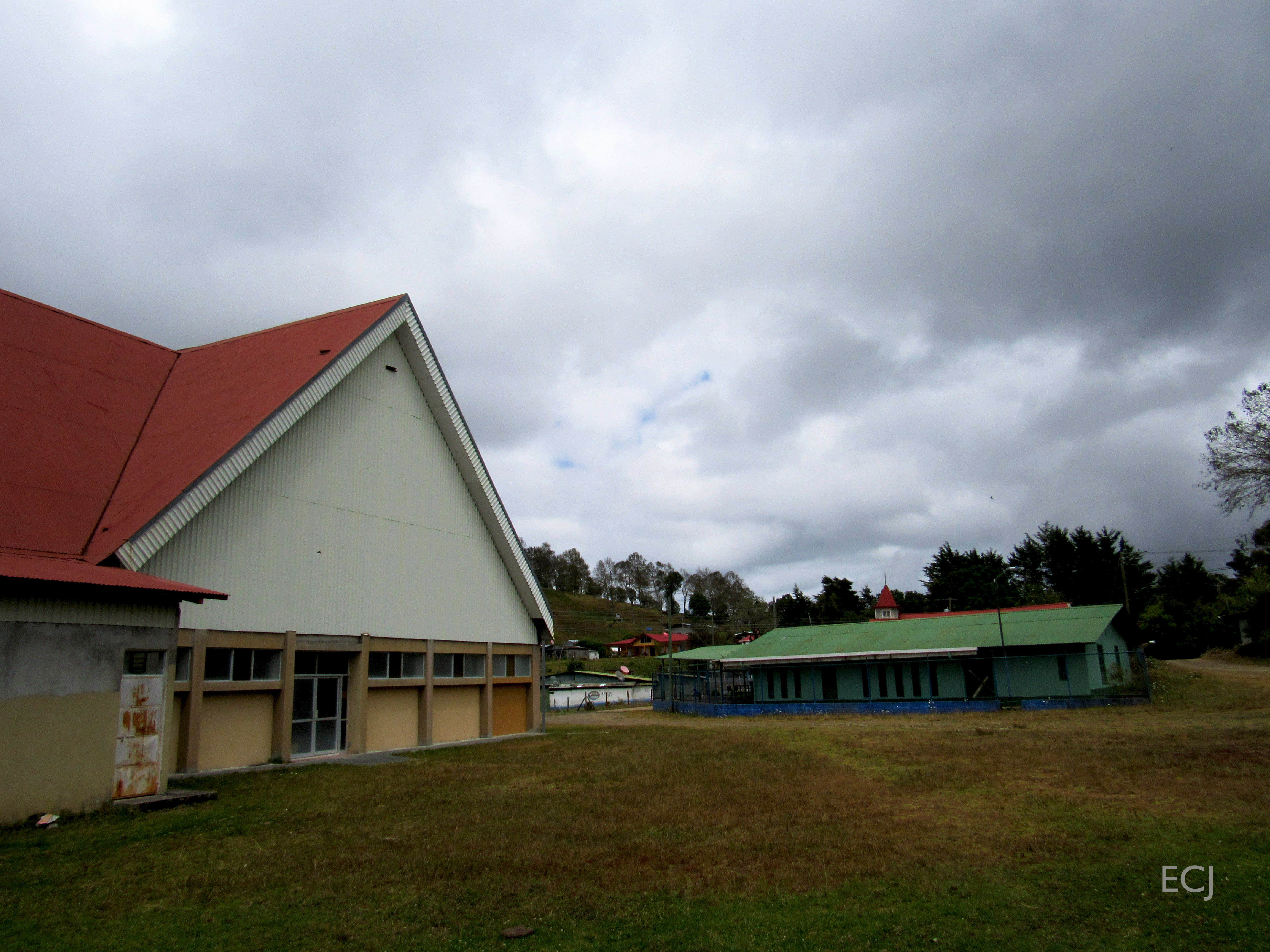
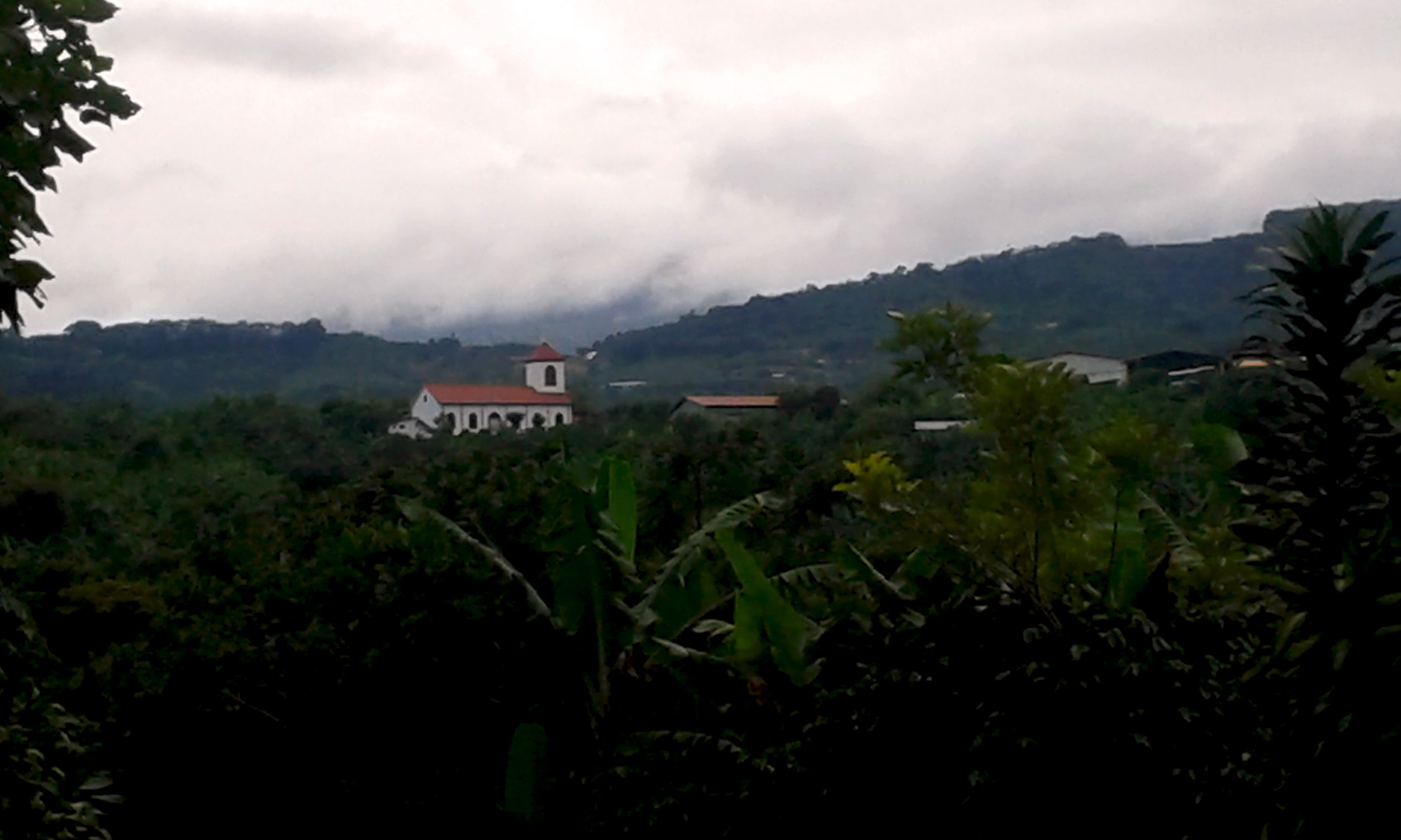
View of Santa María de Dota, Dota's canton seat, and the river valley it stands at

Otra vista de la catarata llegando a Santa María de Dota/ Another view of the waterfall near Santa María, Dota canton

Palm warbler -Western subspecies- (Setophaga palmarum)

The first view from Santa María, the county seat of Dota

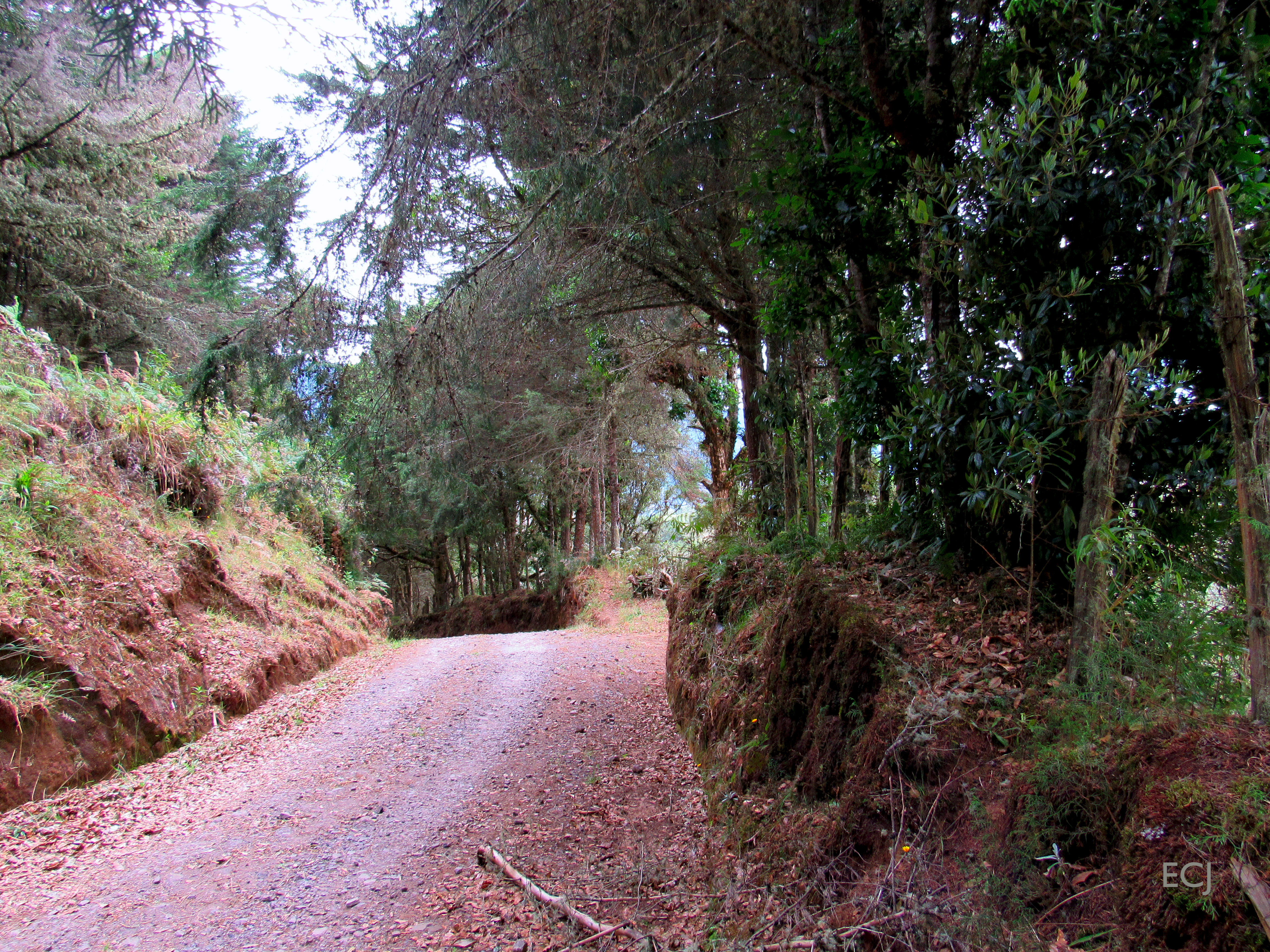
Una vista del camino/ A view of the hiking route

The last view from the town of Copey

Otra vista de la catarata, en la carretera entre Copey y Santa María de Dota / Another view of the waterfall between Copey and Santa María, Dota canton
Today is the turn of the travel pics: View towarsds the town of Loma Larga, Corralillo de Cartago

¿Adónde iré?/ Où vais-je aller?/ Where will I go?

El árbol ante el valle del río Pirrís / The tree before the Pirrís river valley

Una última foto de la catarata entre Copey y Santa María de Dota/ A last picture of the waterfall between Copey and Santa María, Dota canton

Paisaje del valle del río Pirrís, entre Copey y Santa María de Dota/ Landscape of the Pirrís river valley, between Copey and Santa María, Dota canton

Camino adentrándose en la montaña/ A road going deeper into the mountains

La voz de la montaña/ The mountain's voice

Rojo en verde/ Red in green

Paisaje del valle entre Copey y Santa María de Dota/ Landscape on the valley between Copey and Santa María, Dota canton

Vegetación colonizando las orillas del camino/ Growth on the sides of the road

El paisaje desde La Chinchilla hacía Cartago/ The landscape from the sector of La Chinchilla towards the city of Cartago

Árboles con paisaje/ Trees with a landscape

Paisaje bucólico/ Bucollic landscape

The valleys after the rain

Follaje cerca de la catarata, entre Copey y Santa María de Dota / Foliage by the waterfall, on the road between Copey and Santa María, Dota canton

Árbol contra el cielo azul profundo, camino entre Copey y Santa María de Dota/ Tree with the backdrop of the sky, road between Copey and Santa María. Dota canton

After leaving Rosario
Topographic Map of Q2MM+XW Estrella, Costa Rica
Find elevation by address:

Places near Q2MM+XW Estrella, Costa Rica:
Q2j5+vm
Cabaña Quetzal
San Isidro
San Cristóbal Norte
Cabinas Turísticas Cerro Alto
Cerro Alto
Loma Larga
Licorera Del Valle Orosi
Orosi Valley Lodge
Paraíso
San Rafael
Soda La Trucha
Tres De Junio
Orosi
San Andrés De León Cortés
Santa María De Dota
San Marcos
Ram Luna
Pesca De Trucha Rio Blanco
Fundación Nubotropica
Recent Searches:
- Elevation of Corso Fratelli Cairoli, 35, Macerata MC, Italy
- Elevation of Tallevast Rd, Sarasota, FL, USA
- Elevation of 4th St E, Sonoma, CA, USA
- Elevation of Black Hollow Rd, Pennsdale, PA, USA
- Elevation of Oakland Ave, Williamsport, PA, USA
- Elevation of Pedrógão Grande, Portugal
- Elevation of Klee Dr, Martinsburg, WV, USA
- Elevation of Via Roma, Pieranica CR, Italy
- Elevation of Tavkvetili Mountain, Georgia
- Elevation of Hartfords Bluff Cir, Mt Pleasant, SC, USA