Elevation of Saluda St, Chester, SC, USA
Location: United States > South Carolina > Chester County > Chester >
Longitude: -81.202309
Latitude: 34.7140857
Elevation: 172m / 564feet
Barometric Pressure: 99KPa
Elevation Map:
Satellite Map:
Related Photos:
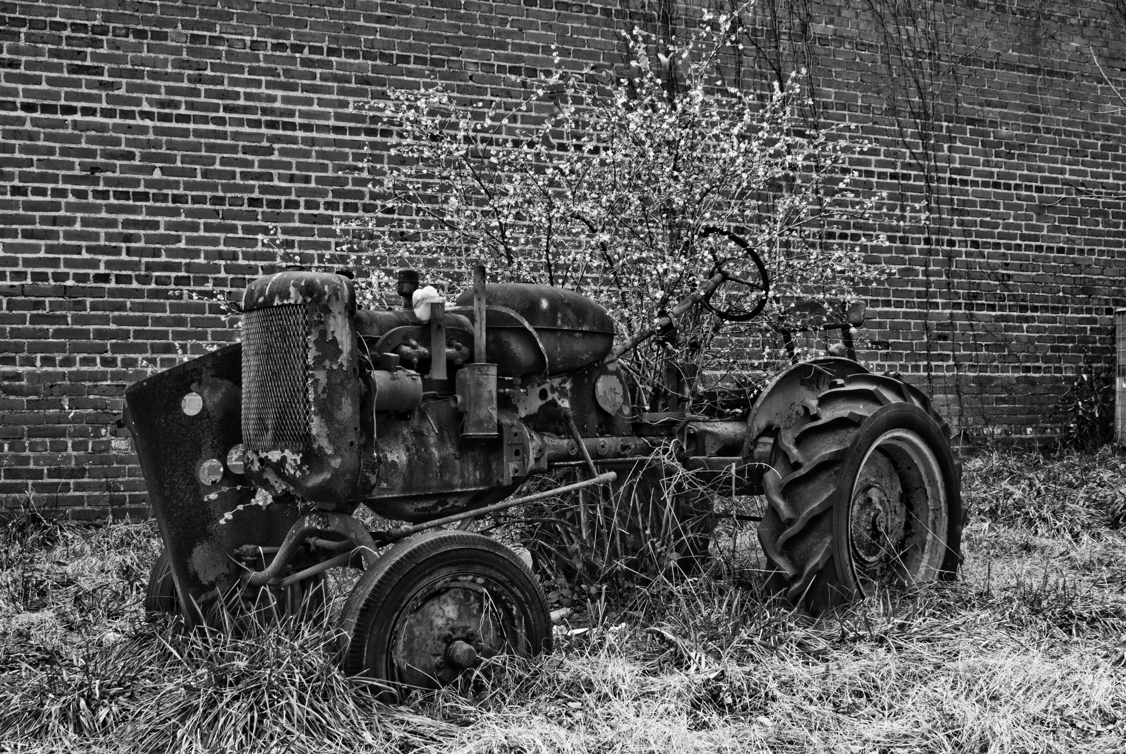
DARBY'S TRACTOR

PLANT FOOD & PESTICIDE

Antonov AN-2 in HDR

Cessna 140 in HDR
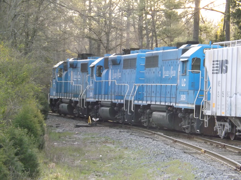
Lancaster and Chester GP38's

123.5

View Chester County's High School Graduation LIVE (Chester,Lewisville,Great Falls) beginning at 5pm on TruVista Ch 39 #SC #edu #cable

CSX Q616-19 at Meadowbrook RD with CREX/CSX/BNSF Power
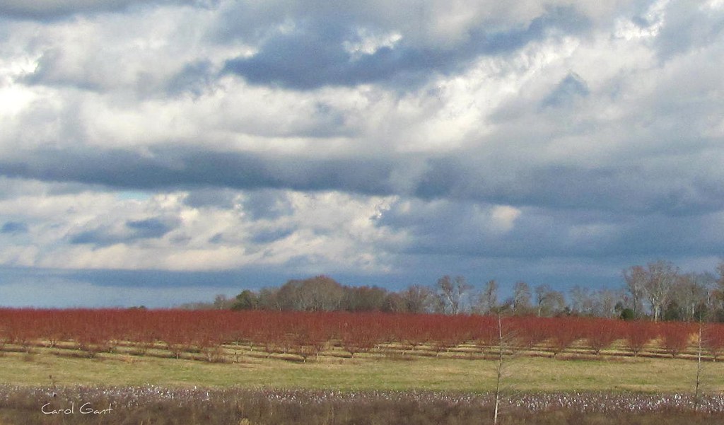
Peach trees in December Explore # 206

L&C 12 at the Chester Yard Limits
Topographic Map of Saluda St, Chester, SC, USA
Find elevation by address:

Places near Saluda St, Chester, SC, USA:
149 Gregg St
164 York St
Chester
East Street
Empty Pockets Dr, Chester, SC, USA
1145 Dublin Rd
2546 Trussel Rd
Chester County
Chester County
Chester County
Chester County
Great Falls Hwy, Chester, SC, USA
Cornwell
State Rd 35, Chester, SC, USA
E Chappell Rd, Rock Hill, SC, USA
Sandy River Rd, Chester, SC, USA
2570 Center Rd
East Chappell Road
2952 Fishing Creek Church Rd
Mcconnells
Recent Searches:
- Elevation of Corso Fratelli Cairoli, 35, Macerata MC, Italy
- Elevation of Tallevast Rd, Sarasota, FL, USA
- Elevation of 4th St E, Sonoma, CA, USA
- Elevation of Black Hollow Rd, Pennsdale, PA, USA
- Elevation of Oakland Ave, Williamsport, PA, USA
- Elevation of Pedrógão Grande, Portugal
- Elevation of Klee Dr, Martinsburg, WV, USA
- Elevation of Via Roma, Pieranica CR, Italy
- Elevation of Tavkvetili Mountain, Georgia
- Elevation of Hartfords Bluff Cir, Mt Pleasant, SC, USA