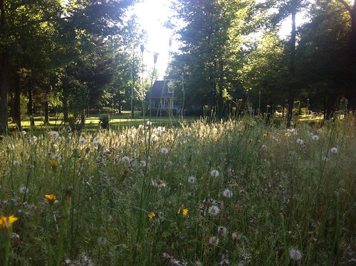
Elevation of State Rd 35, Chester, SC, USA
Location: United States > South Carolina > Chester County >
Longitude: -81.078613
Latitude: 34.723649
Elevation: 165m / 541feet
Barometric Pressure: 99KPa
Related Photos:
Topographic Map of State Rd 35, Chester, SC, USA
Find elevation by address:

Places near State Rd 35, Chester, SC, USA:
Lancaster And Chester Rlwy
Richburg
E Lancaster St, Richburg, SC, USA
Chester County
Chester County
Chester County
Chester County
754 Old Mill Rd
2952 Fishing Creek Church Rd
East Chappell Road
E Chappell Rd, Rock Hill, SC, USA
Great Falls Hwy, Chester, SC, USA
184 Saluda St
149 Gregg St
164 York St
Chester
Skyline Rd, Rock Hill, SC, USA
East Street
Cornwell
Clubside Dr, Rock Hill, SC, USA
Recent Searches:
- Elevation of Corso Fratelli Cairoli, 35, Macerata MC, Italy
- Elevation of Tallevast Rd, Sarasota, FL, USA
- Elevation of 4th St E, Sonoma, CA, USA
- Elevation of Black Hollow Rd, Pennsdale, PA, USA
- Elevation of Oakland Ave, Williamsport, PA, USA
- Elevation of Pedrógão Grande, Portugal
- Elevation of Klee Dr, Martinsburg, WV, USA
- Elevation of Via Roma, Pieranica CR, Italy
- Elevation of Tavkvetili Mountain, Georgia
- Elevation of Hartfords Bluff Cir, Mt Pleasant, SC, USA


