Elevation of Salem County, NJ, USA
Location: United States > New Jersey >
Longitude: -75.387852
Latitude: 39.5848777
Elevation: 4m / 13feet
Barometric Pressure: 101KPa
Elevation Map:
Satellite Map:
Related Photos:
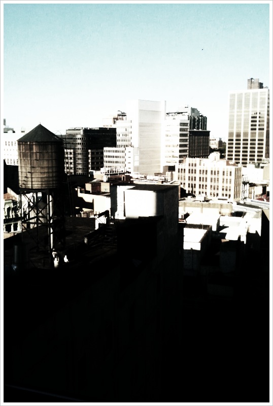
View from hotel - downtown Brooklyn

Norfolk Southern 1067 (Reading Heritage) @ Carneys Point, NJ
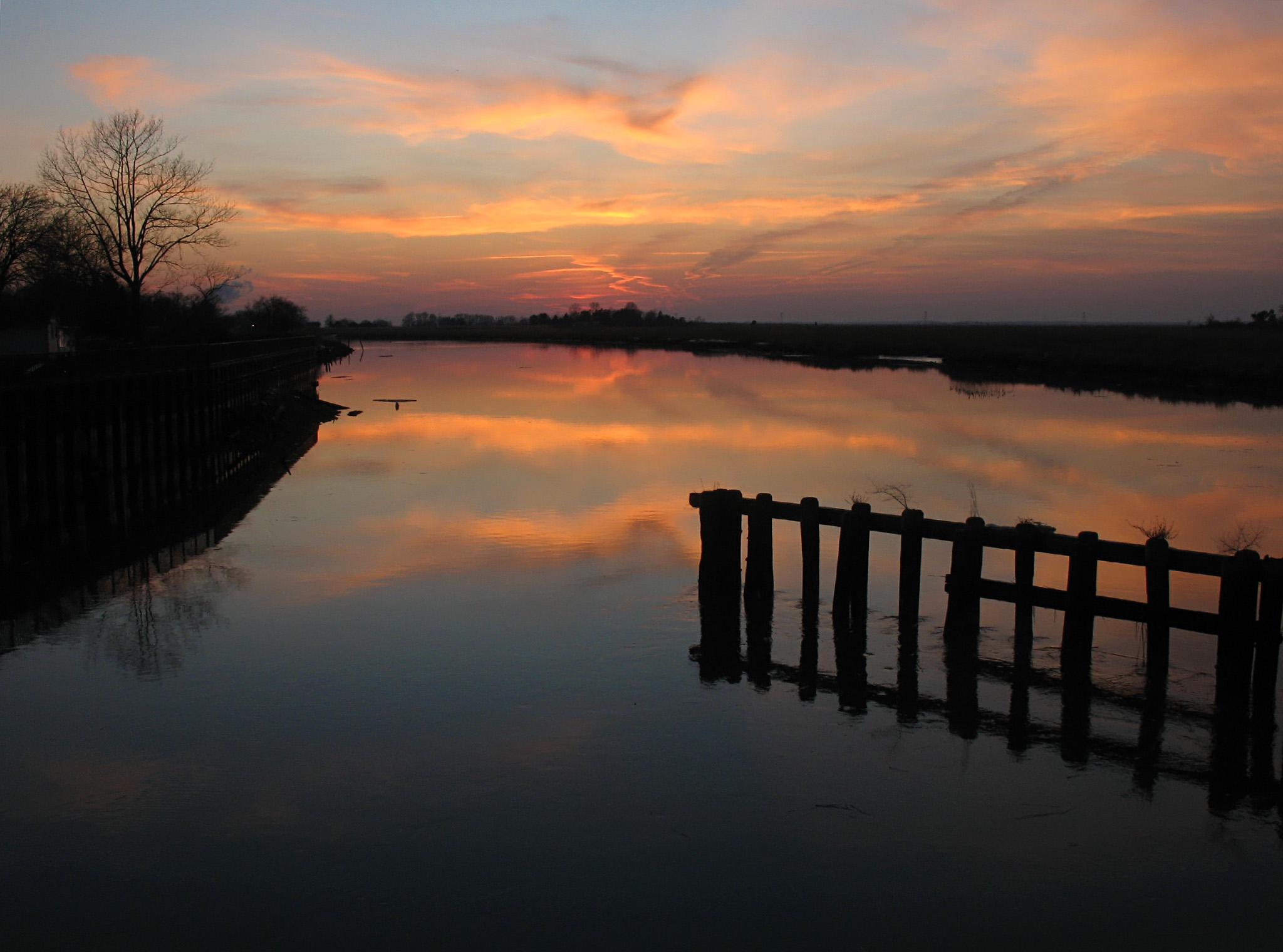
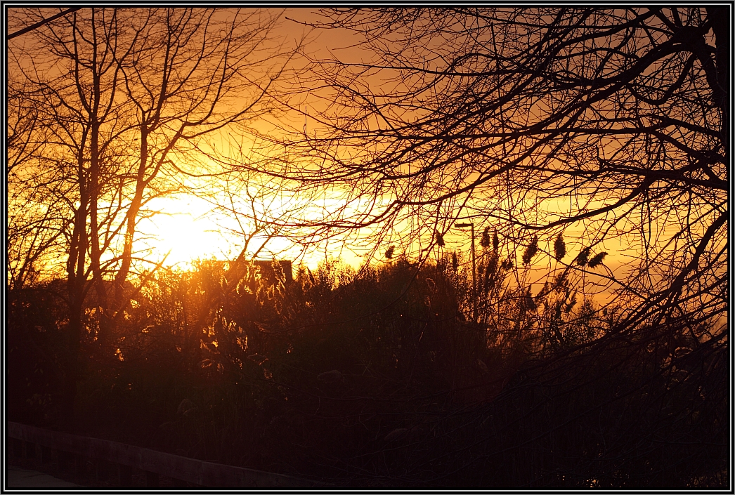
Sunset at Hancock's Bridge

The Flag of the United States of America
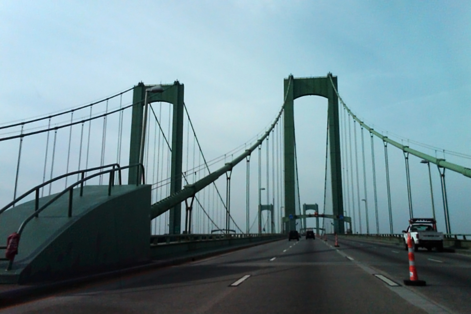
Delaware Memorial Bridge
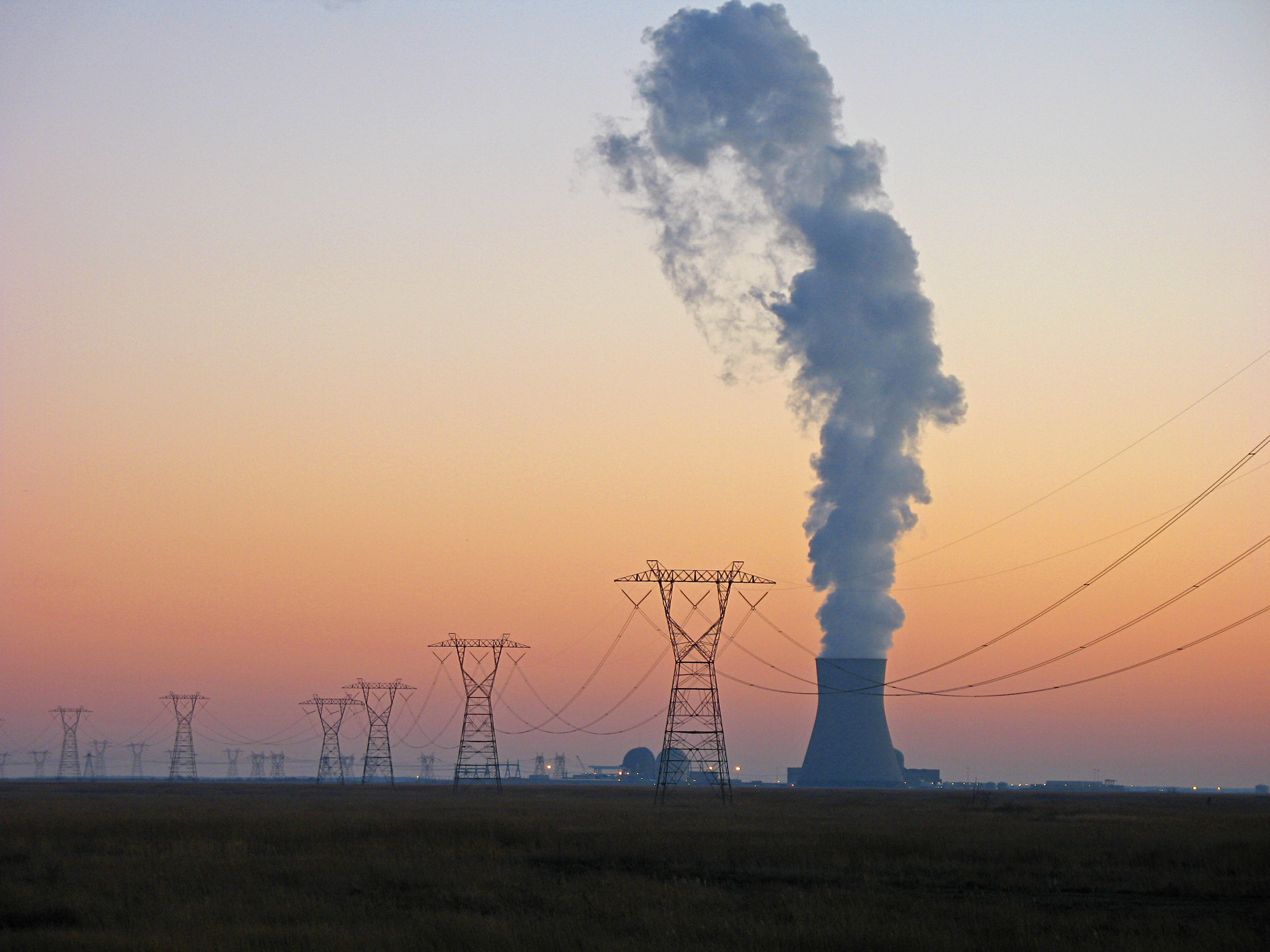
Salem Sunset
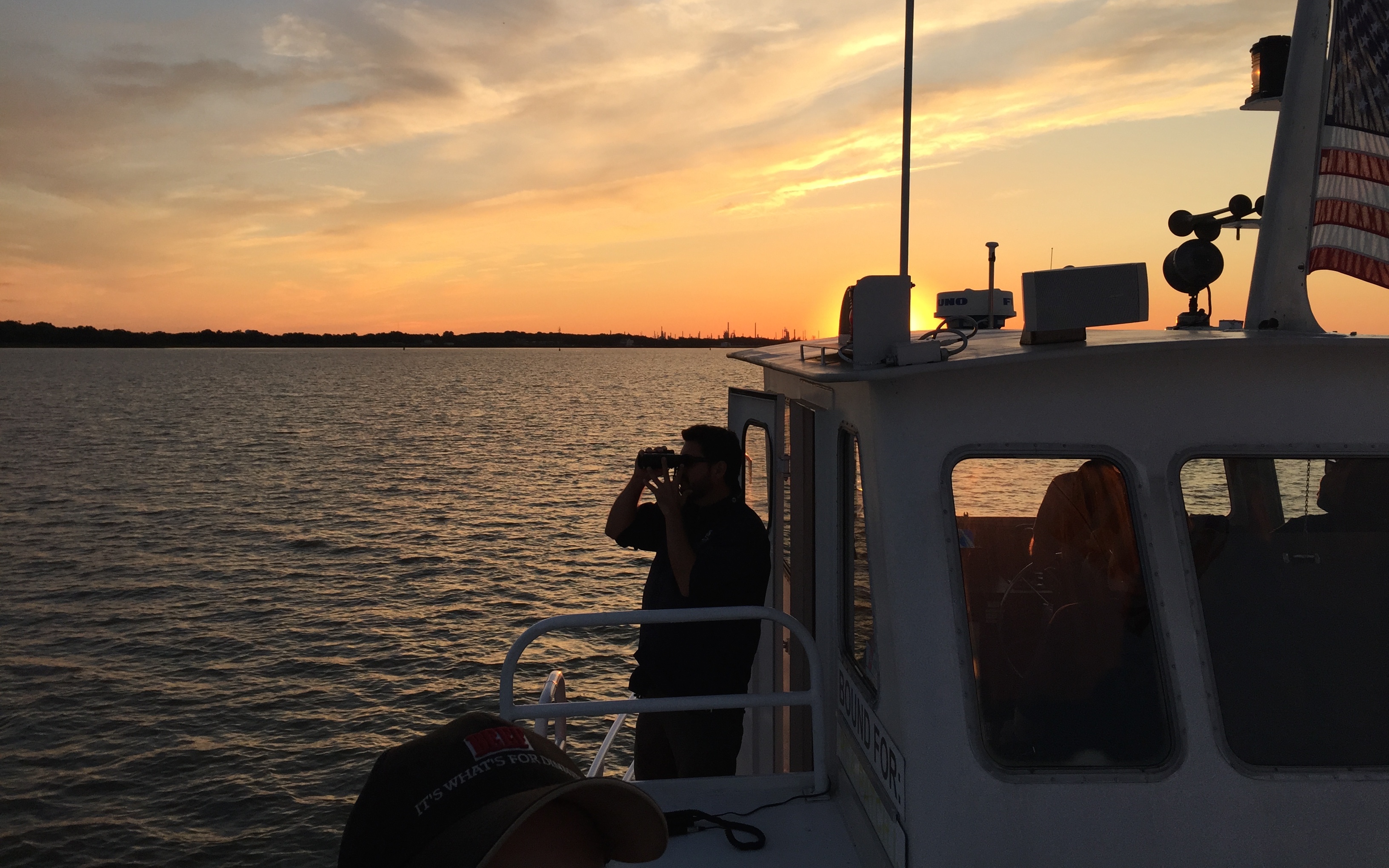
Our fearless leader at Pea Patch Island, New Castle, DE on Aug 13, 2015 - IMG_4234
View-85134
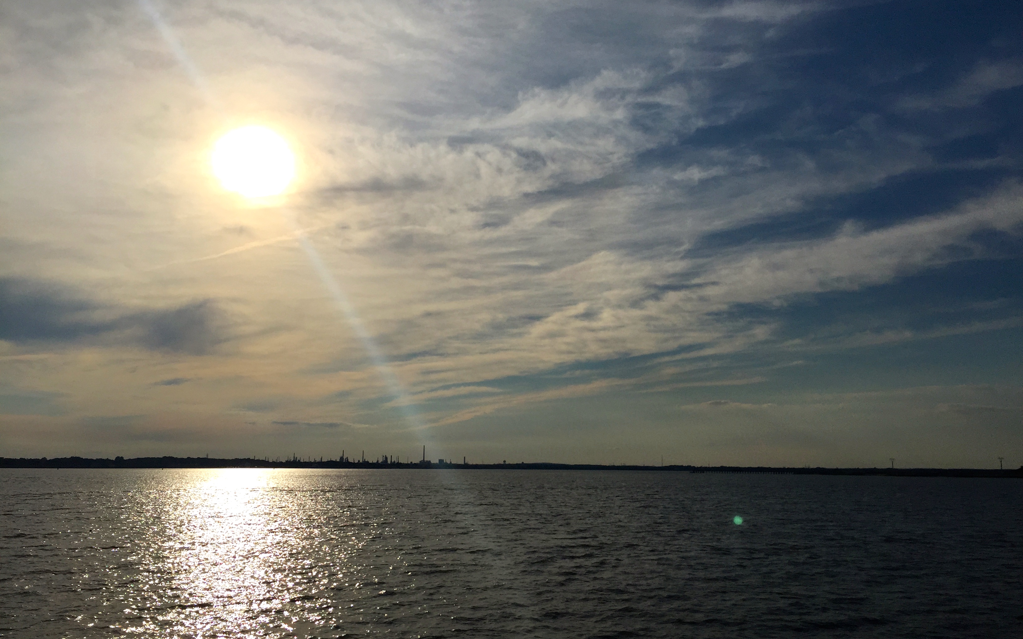
Delaware River at Pea Patch Island, New Castle, DE on Aug 13, 2015 - IMG_4207

Blue Morph Snow x Ross's Goose Hybrid, Featherbead Lane WMA, 3/24/13

Fort Delaware Postcard

CAEG_Carneys Point, NJ

05 075
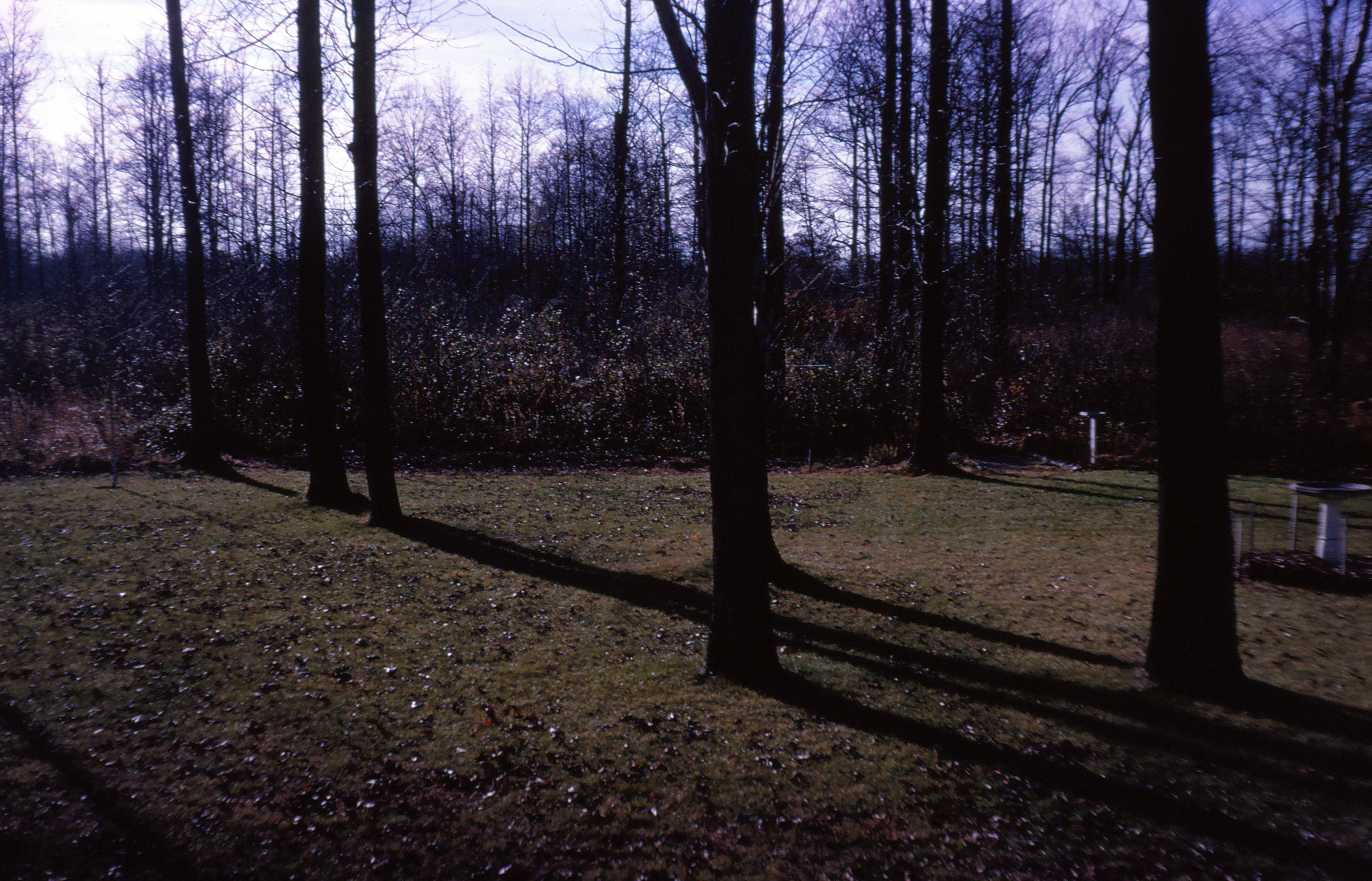
December 1969

05 076

Norfolk Southern 1067 (Reading Heritage) @ Carneys Point, NJ
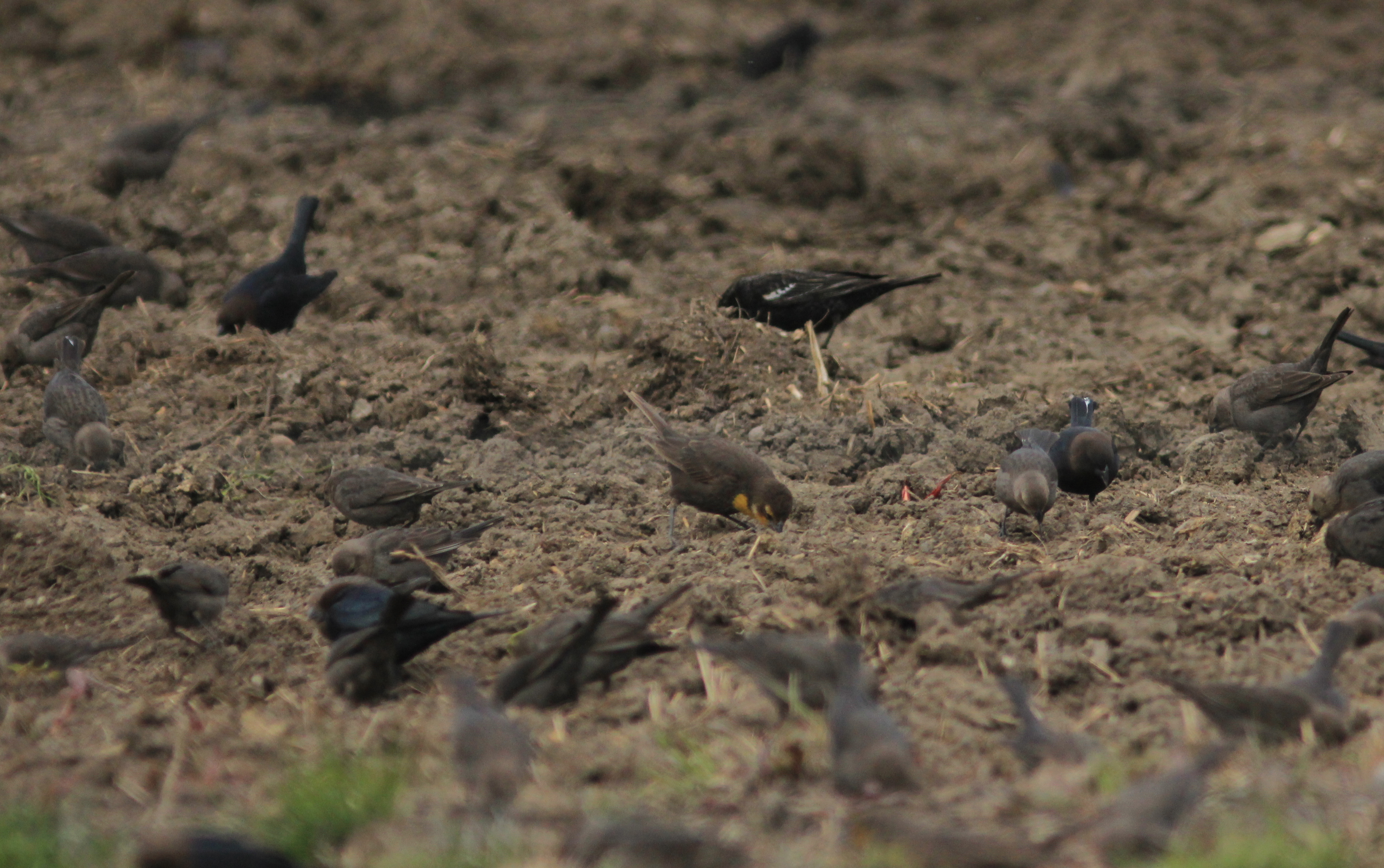
Yellow-headed Blackbird, Featherbed Lane WMA, NJ 3/24/13
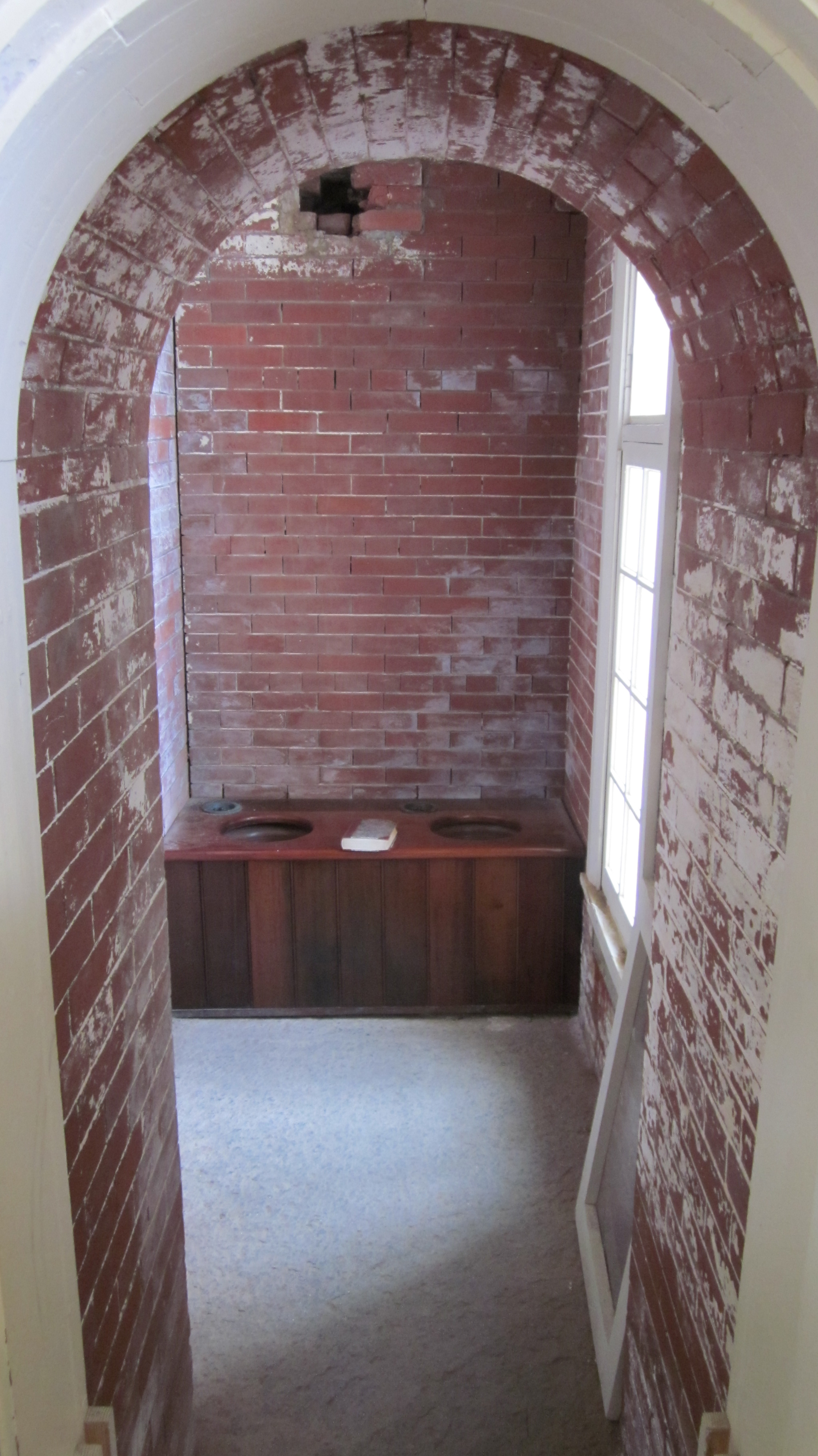
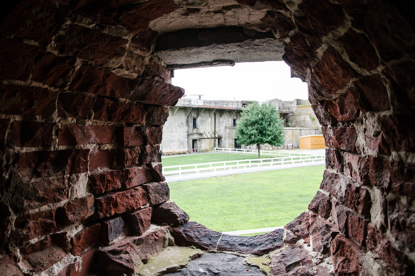
Fort Delaware, Privy with a View
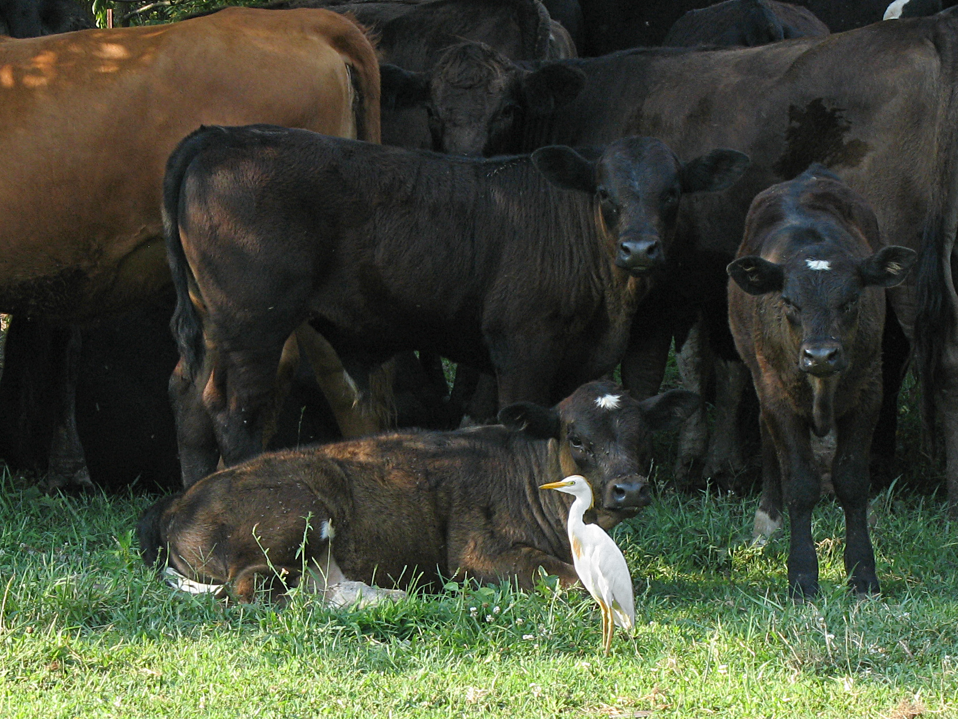
One of These Things is not Like the Others

Finn's Point Range Rear Light (1877)
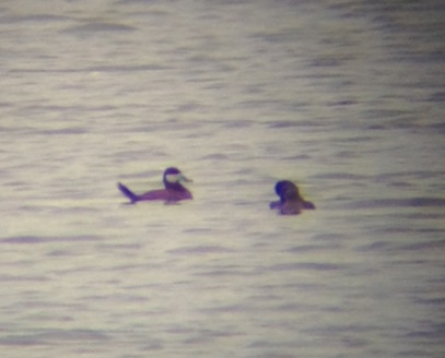
Ruddy Duck

New Bridge Road-6208
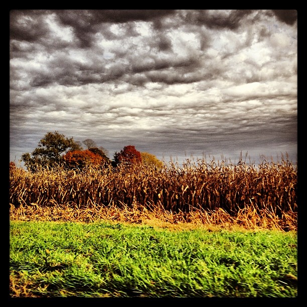
#clouds #cornfield #fall #landscape

365 8-3-2012
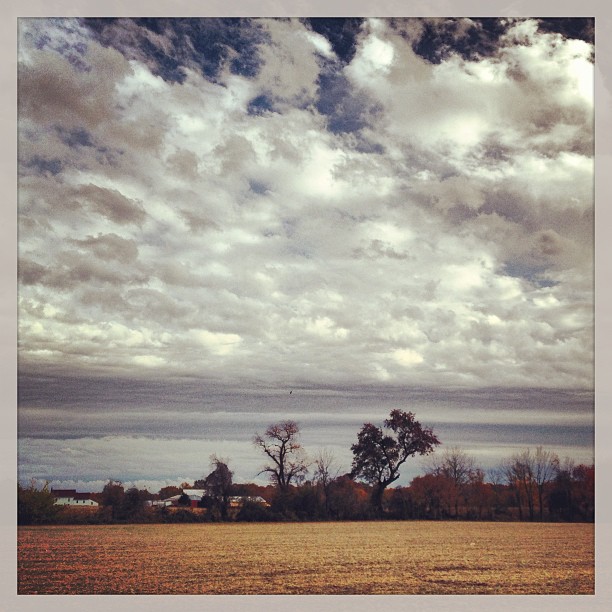
#clouds #landscape
#landscape

11-03-02-1318hdre
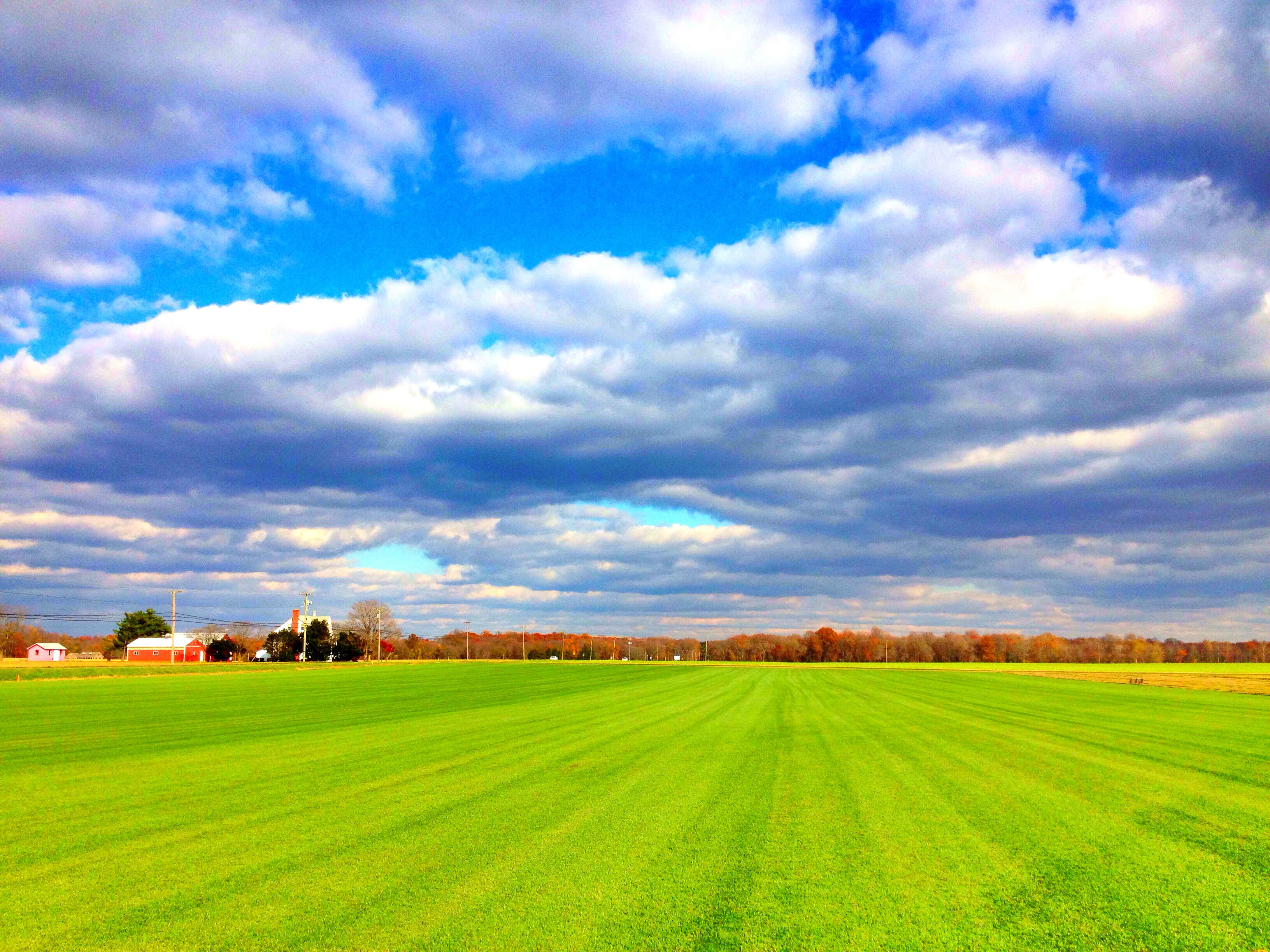
Southern New Jersey ~ Where The Skies Are Truest of Blue & The Grass Is Green As Could Be <3

~Fly So Free Above The Sea~
Oooh Look an Ar-teeest! #2
After the Rain
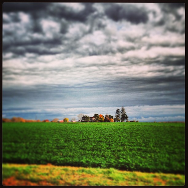
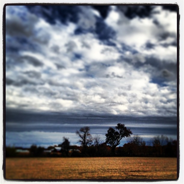
#clouds #landscape #farm
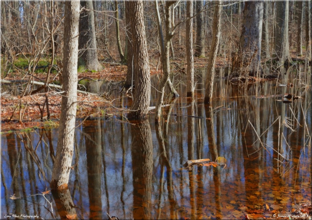
By The Stream
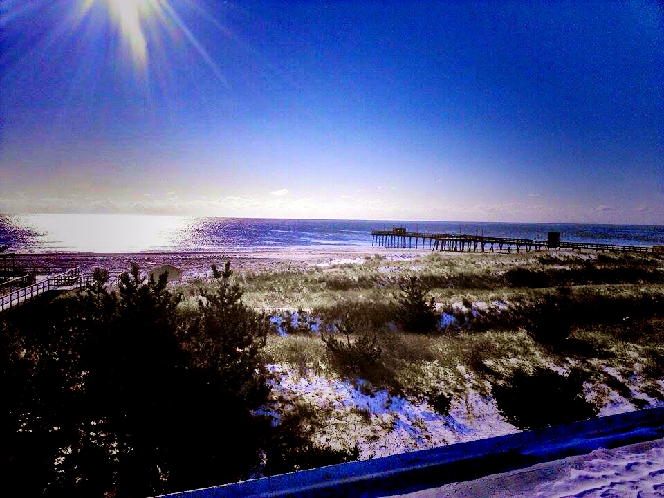
~Good Morning To The Ocean Above The Boardwalk Feeling Frozen~
#clouds #landscape

~The Frozen Beauty of Blacksand Beach~
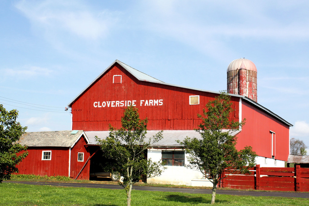
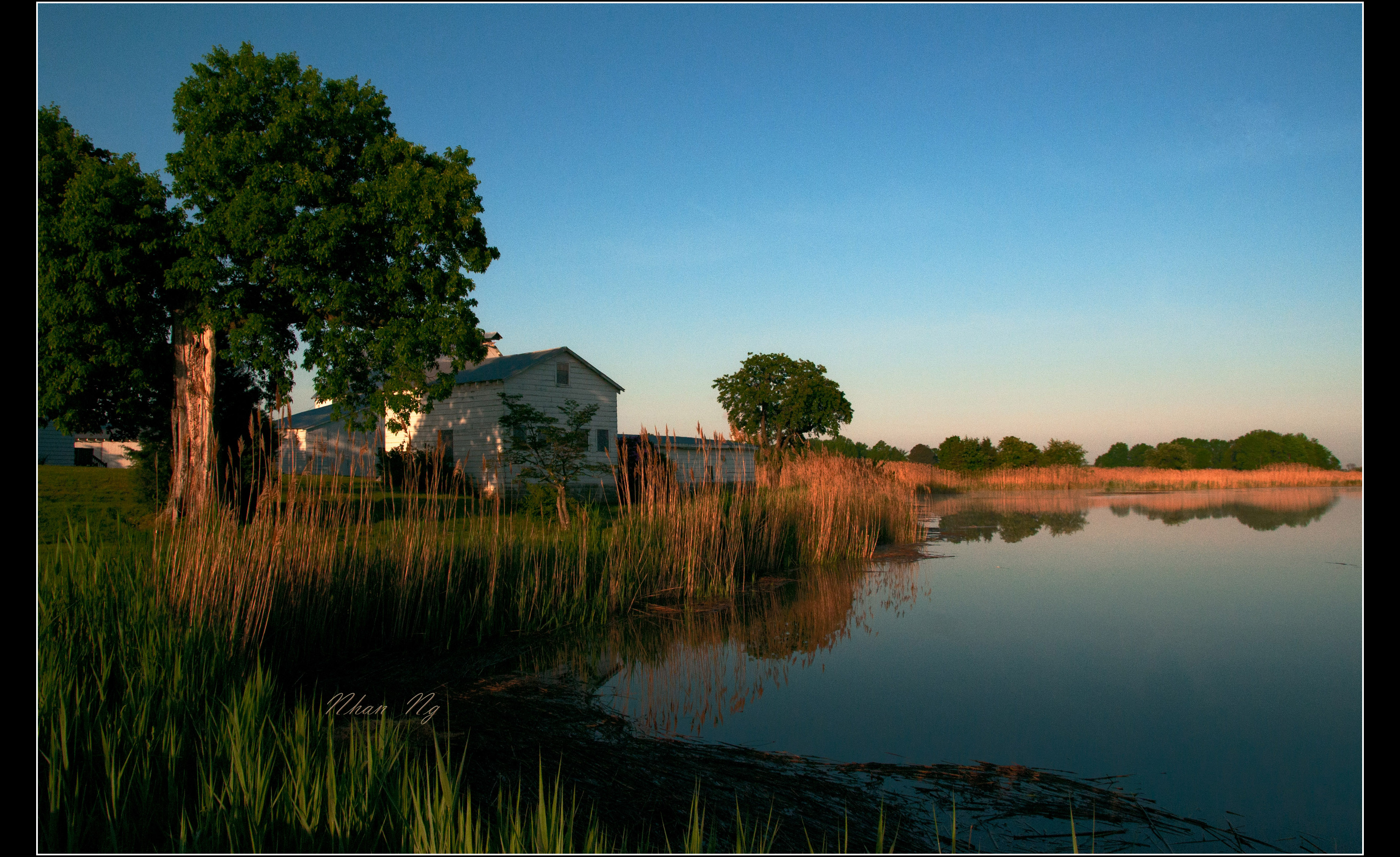
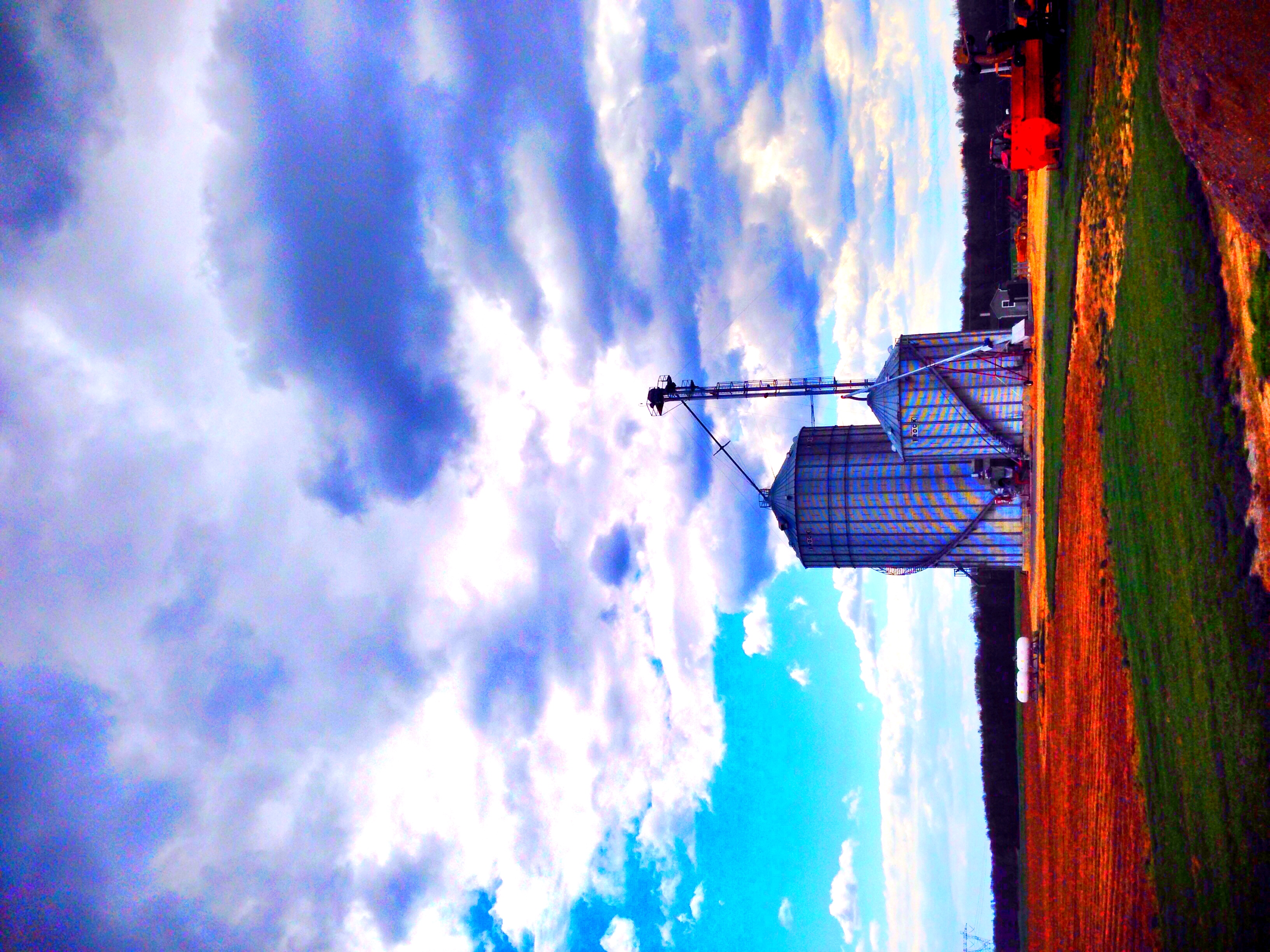
Cloverside Farms
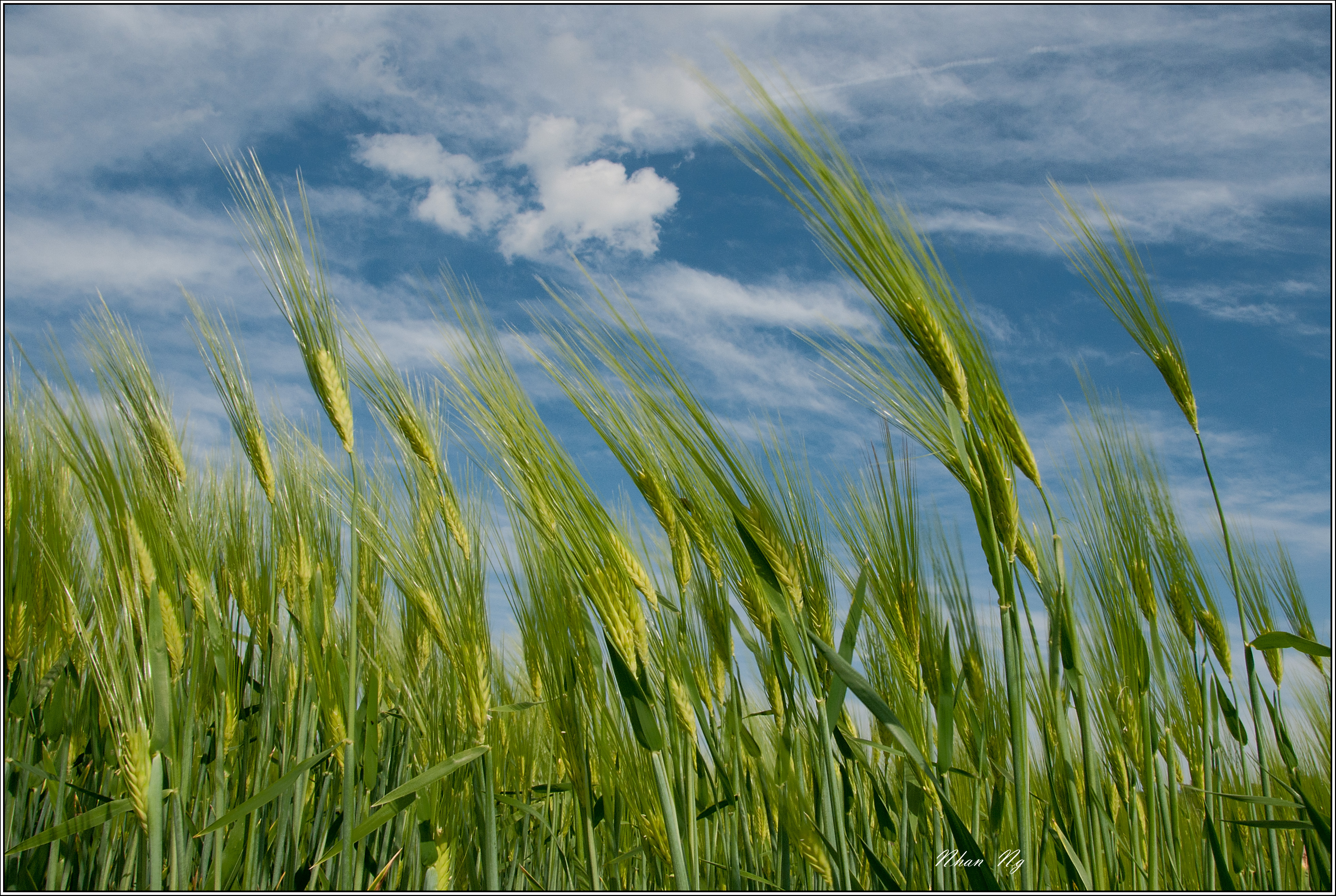
Windy Afternoon

An Lành
~South Jersey Farm Life~
Topographic Map of Salem County, NJ, USA
Find elevation by address:

Places in Salem County, NJ, USA:
Pennsville Township
Pittsgrove Township
Carneys Point Township
Lower Alloways Creek
Quinton
Mannington Township
Oldmans Township
Pilesgrove
Salem
Elsinboro
Quaker Neck Rd, Salem, NJ, USA
N Broadway, Pennsville, NJ, USA
8 E Amwellbury Rd, Salem, NJ, USA
11 S Locust Ave, Salem, NJ, USA
1 S Broad St, Penns Grove, NJ, USA
Pole Tavern Rd, Elmer, NJ, USA
W Broadway, Salem, NJ, USA
40 Garden Dr, Salem, NJ, USA
45 Slabtown Rd, Elmer, NJ, USA
Alloway Aldine Rd, Woodstown, NJ, USA
Watsons Mill Rd, Elmer, NJ, USA
13 West Ave, Woodstown, NJ, USA
Upper Pittsgrove
Ballingers Mill
Woodstown
Places near Salem County, NJ, USA:
Quaker Neck Rd, Salem, NJ, USA
Mannington Township
NJ-45, Mannington Township, NJ, USA
Halltown Rd, Mannington Township, NJ, USA
Salem Woodstown Rd, Mannington Township, NJ, USA
Alloway Aldine Rd, Woodstown, NJ, USA
Kings Hwy, Pilesgrove, NJ, USA
39 Marshalltown Rd, Mannington Township, NJ, USA
92 Market St
Salem
W Broadway, Salem, NJ, USA
123 Salem Hancocks Bridge Rd
8 E Amwellbury Rd, Salem, NJ, USA
13 West Ave, Woodstown, NJ, USA
Woodstown
135 Nj-45
20 Pine Ave
22 Pine Ave
197 Pine Ave
198 Pine Ave
Recent Searches:
- Elevation of Corso Fratelli Cairoli, 35, Macerata MC, Italy
- Elevation of Tallevast Rd, Sarasota, FL, USA
- Elevation of 4th St E, Sonoma, CA, USA
- Elevation of Black Hollow Rd, Pennsdale, PA, USA
- Elevation of Oakland Ave, Williamsport, PA, USA
- Elevation of Pedrógão Grande, Portugal
- Elevation of Klee Dr, Martinsburg, WV, USA
- Elevation of Via Roma, Pieranica CR, Italy
- Elevation of Tavkvetili Mountain, Georgia
- Elevation of Hartfords Bluff Cir, Mt Pleasant, SC, USA