Elevation of Quinton, NJ, USA
Location: United States > New Jersey > Salem County >
Longitude: -75.376195
Latitude: 39.532777
Elevation: 36m / 118feet
Barometric Pressure: 101KPa
Elevation Map:
Satellite Map:
Related Photos:
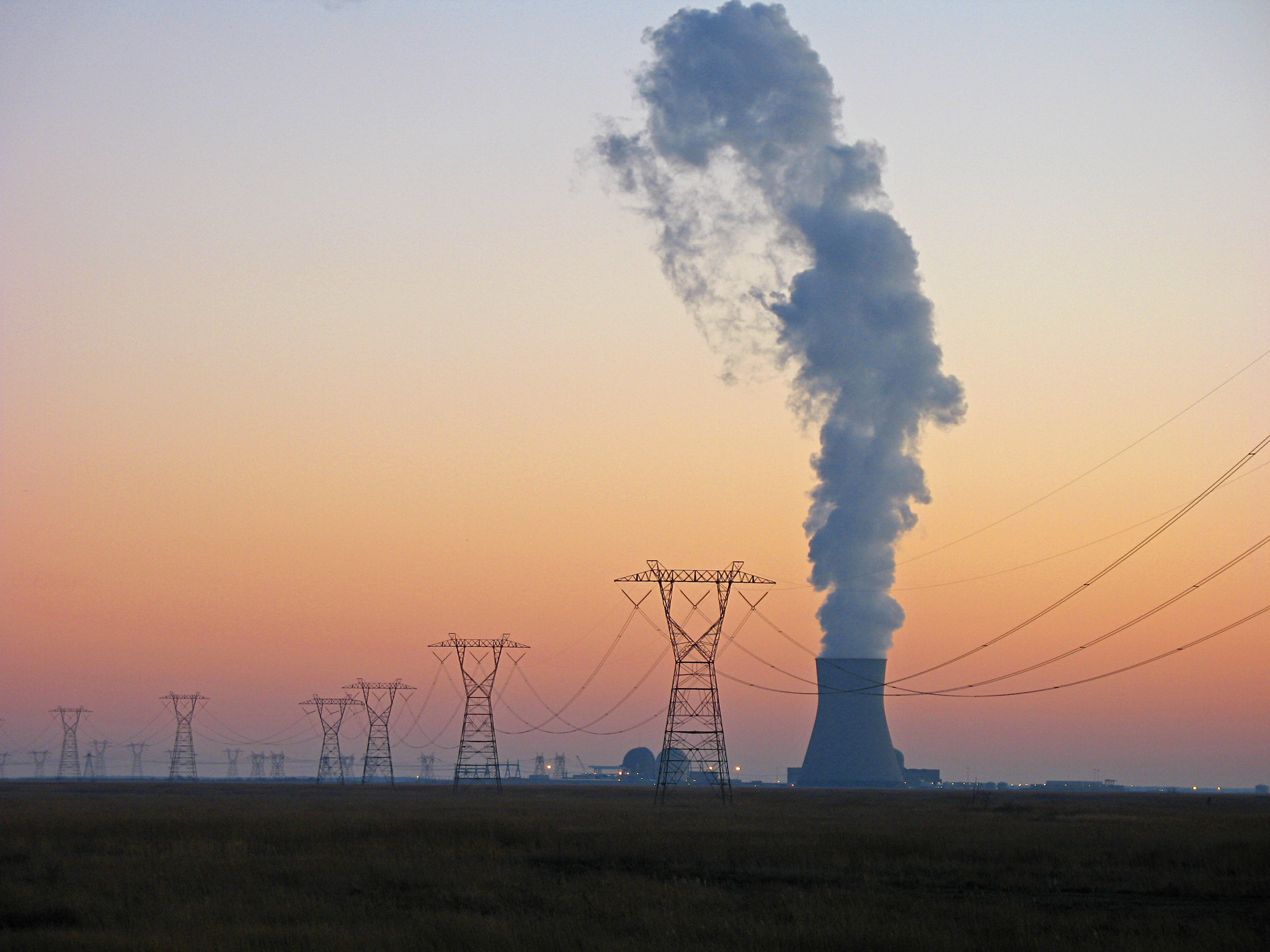
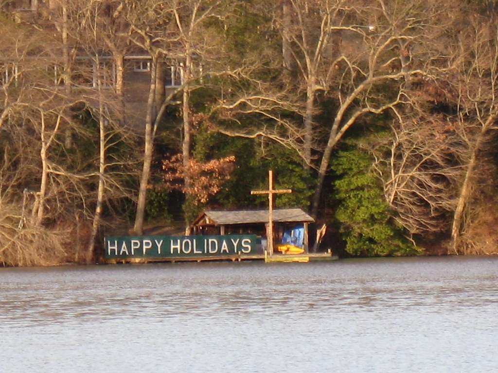
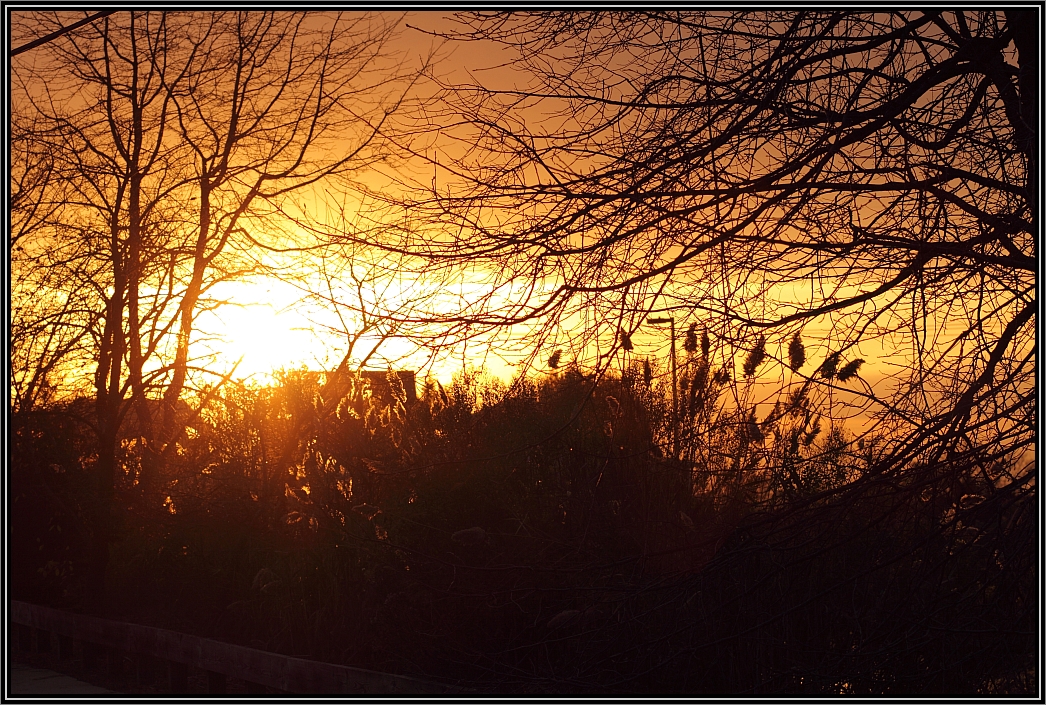
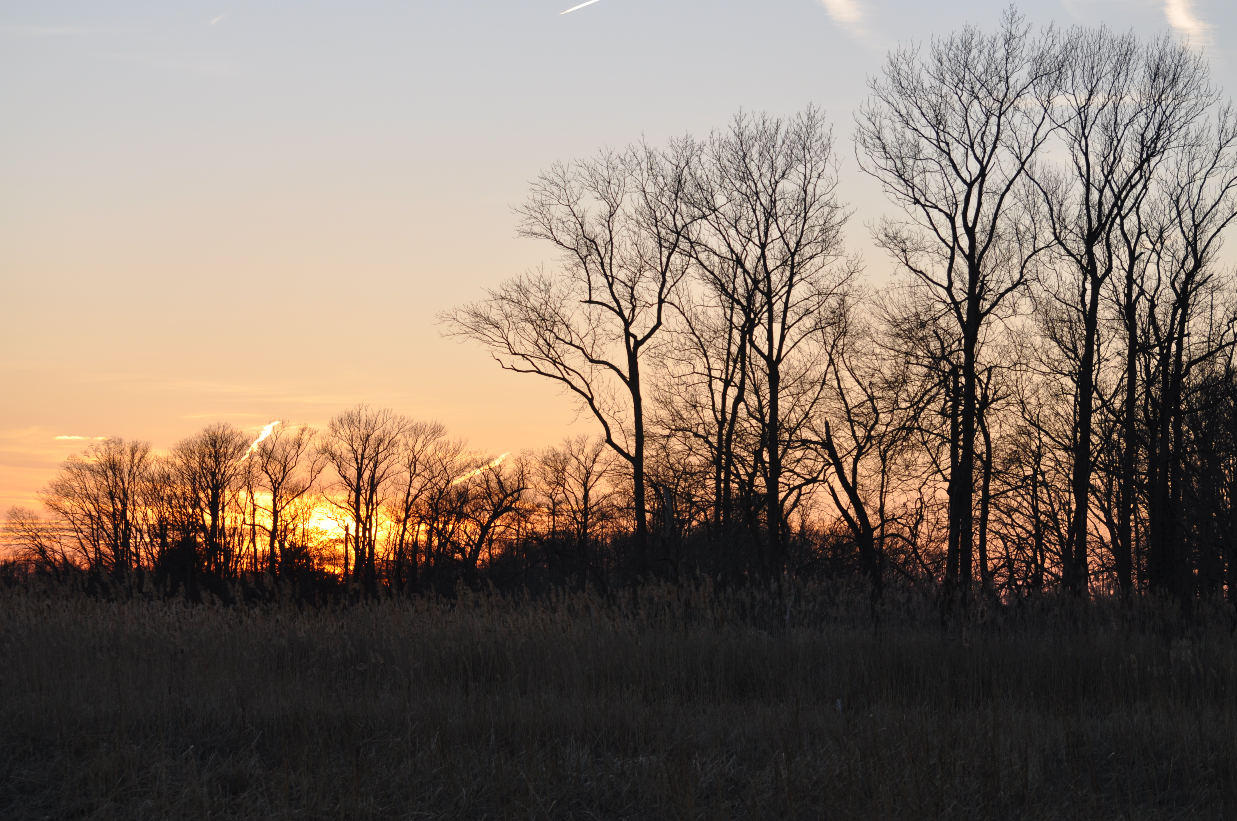
Salem Sunset
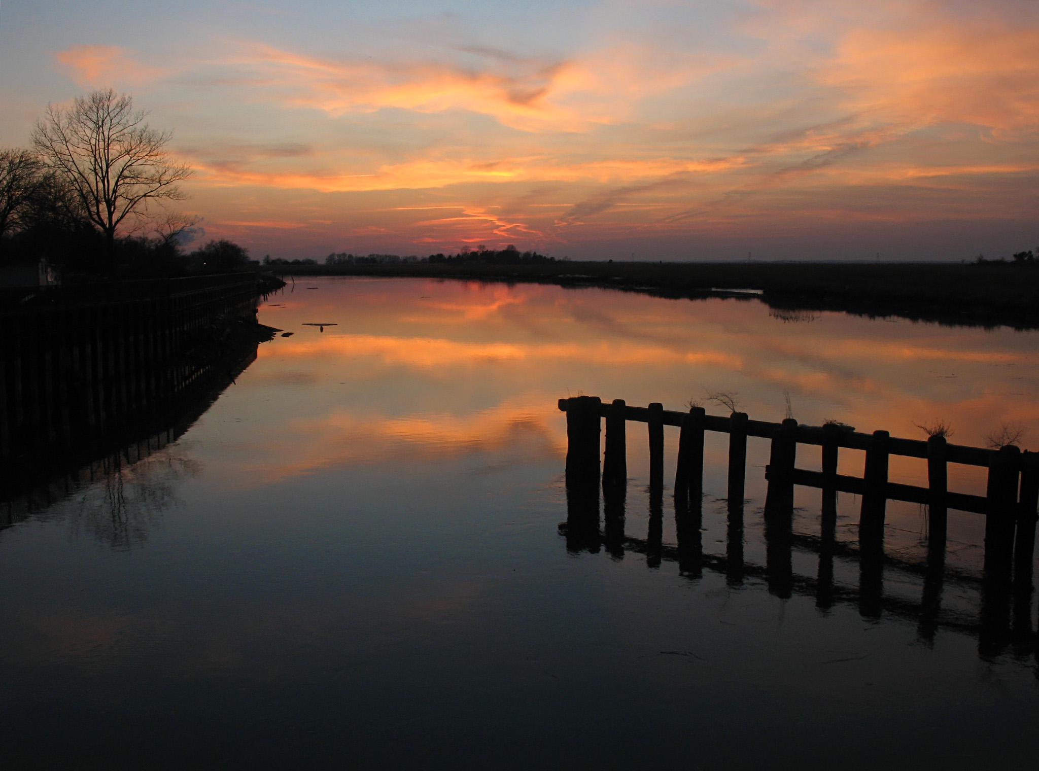
Sunset at Hancock's Bridge

The Flag of the United States of America
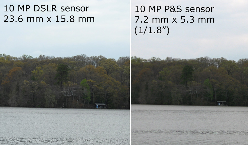
Sensor Size
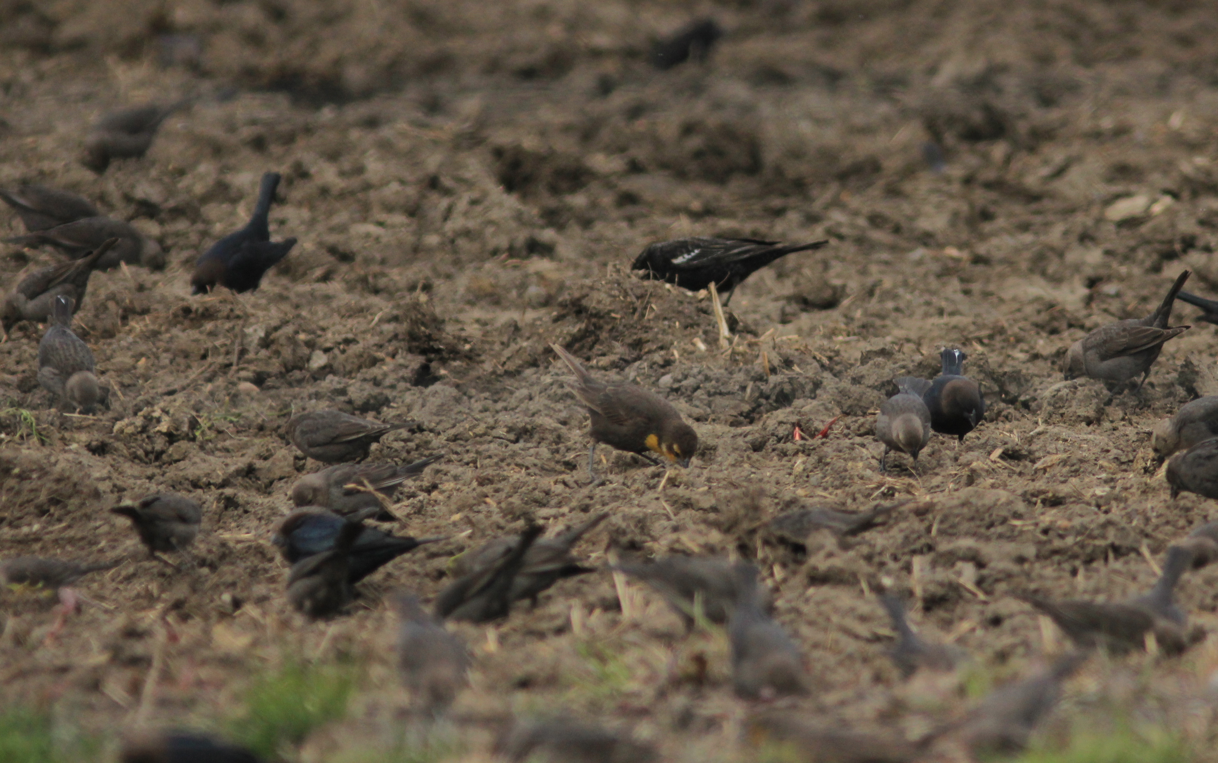
Yellow-headed Blackbird, Featherbed Lane WMA, NJ 3/24/13
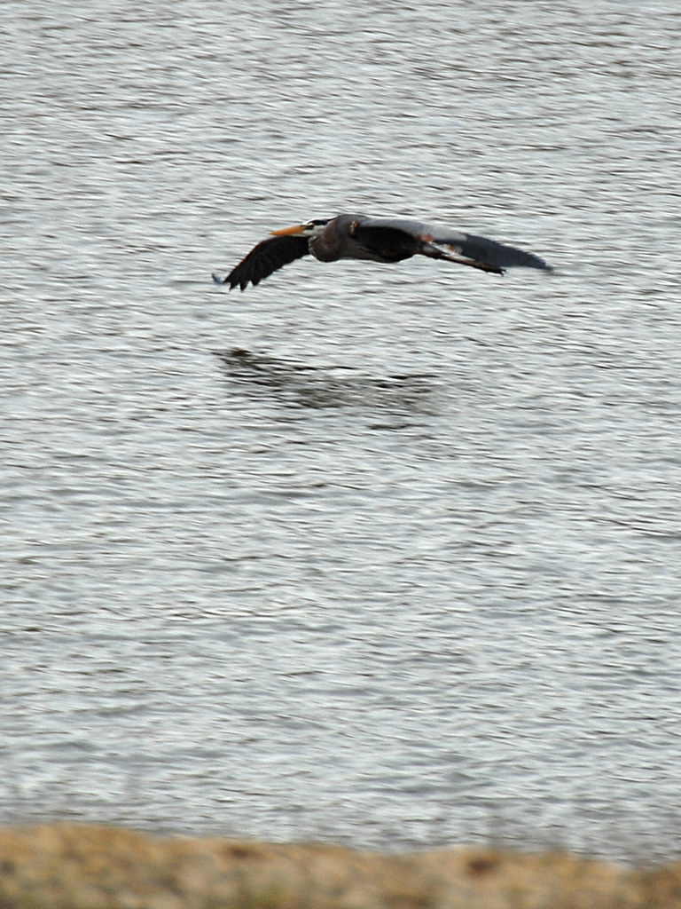
Great Blue Heron
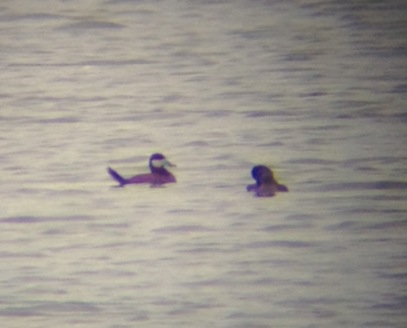
Ruddy Duck
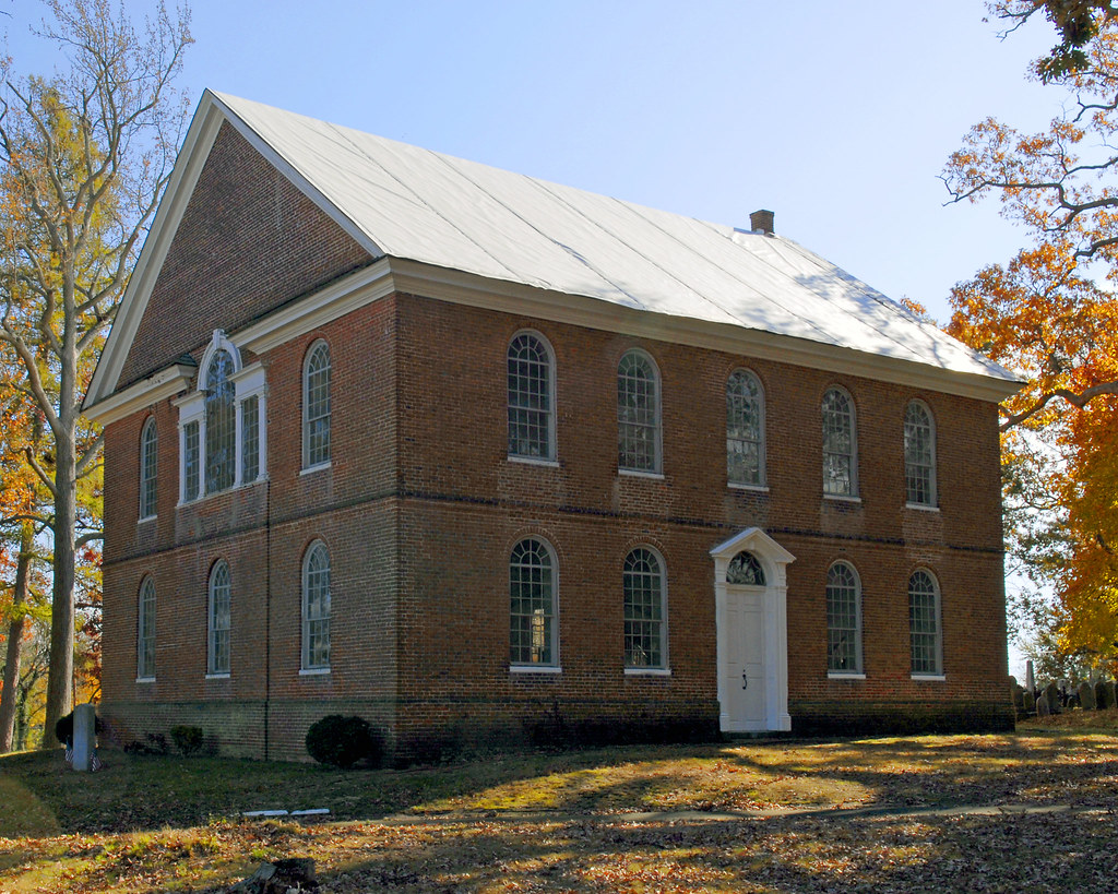
Old Broad Street Church - 1792

Yellow-headed Blackbird, Featherbed Lane WMA, NJ 3/24/13
Marlboro Slaughterhouse/Asylum
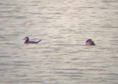
Ruddy Duck
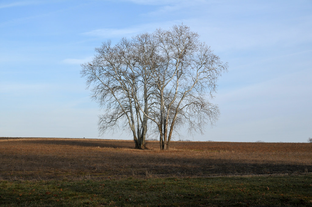
Two Sycamores
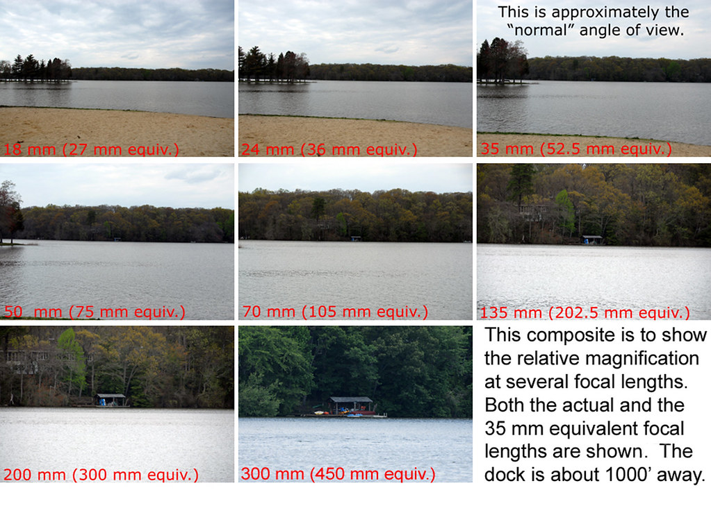
Focal Lengths
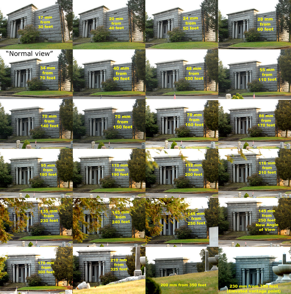
Focal Lengths - Part 4
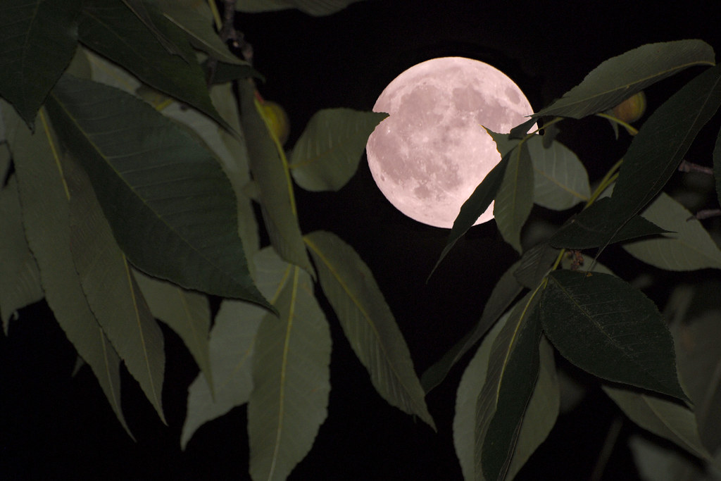
Moon & Hickory

05 075

05 076

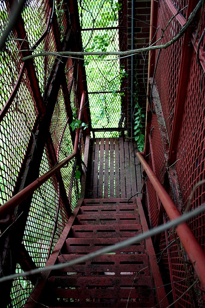
The Old Hump Bridge
Canon 950-IS - 4X Digital Zoom
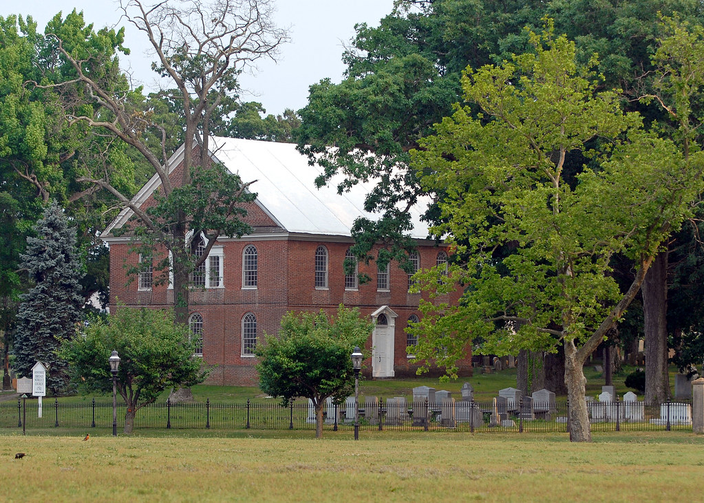
Broad Street Church - North View

Moon Over Broad Street School

New Bridge Road-6208

11-03-02-1318hdre
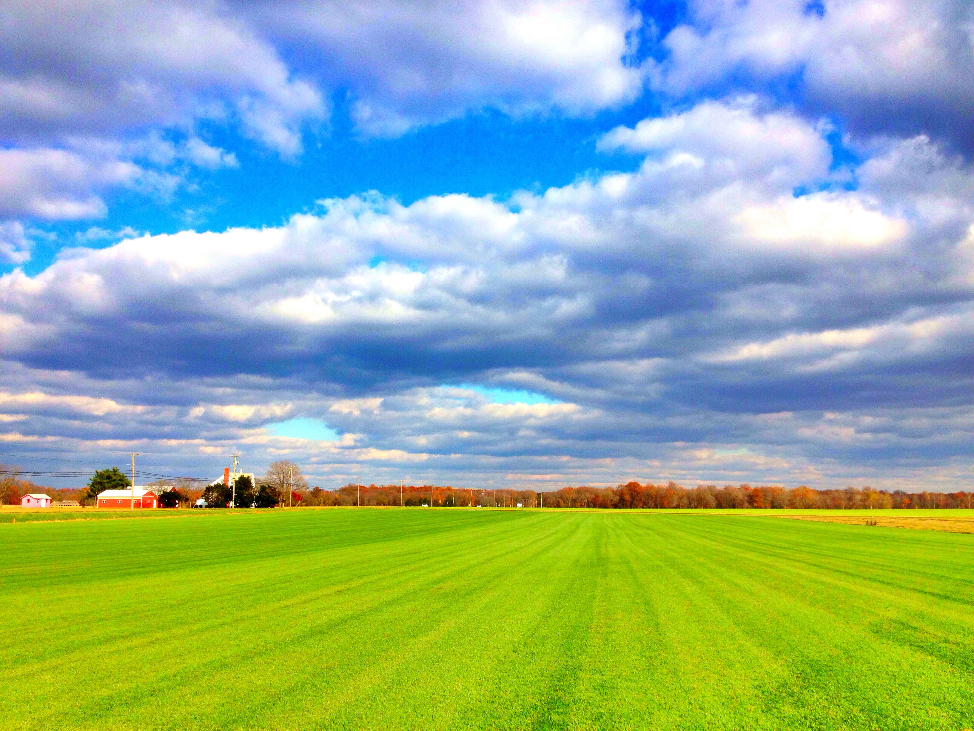
Southern New Jersey ~ Where The Skies Are Truest of Blue & The Grass Is Green As Could Be <3
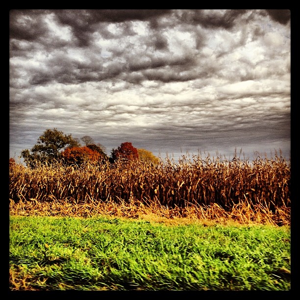
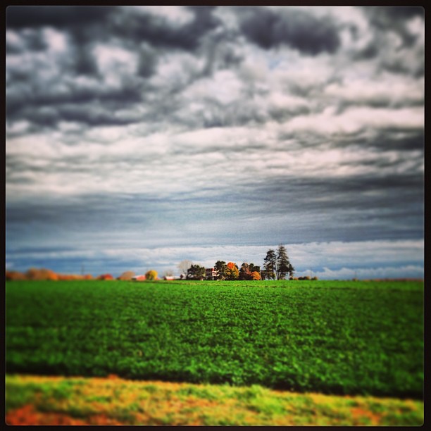
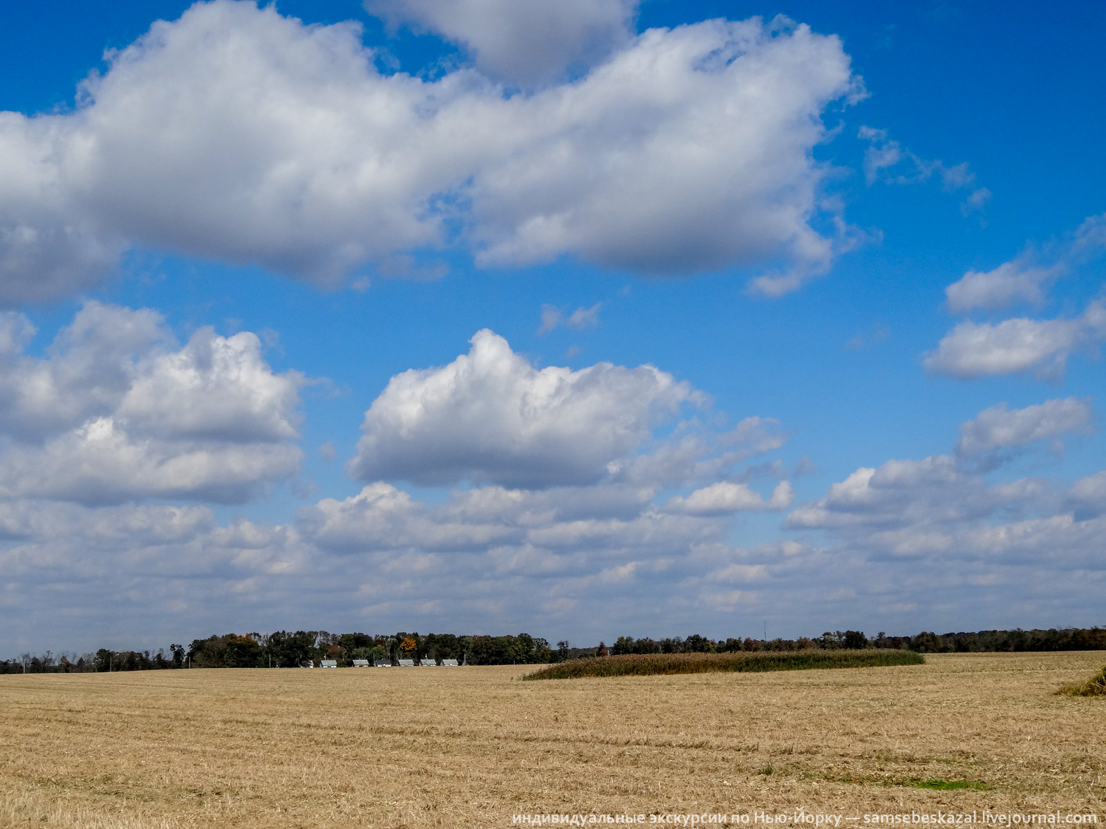
#clouds #cornfield #fall #landscape
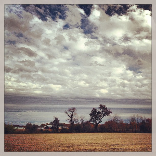
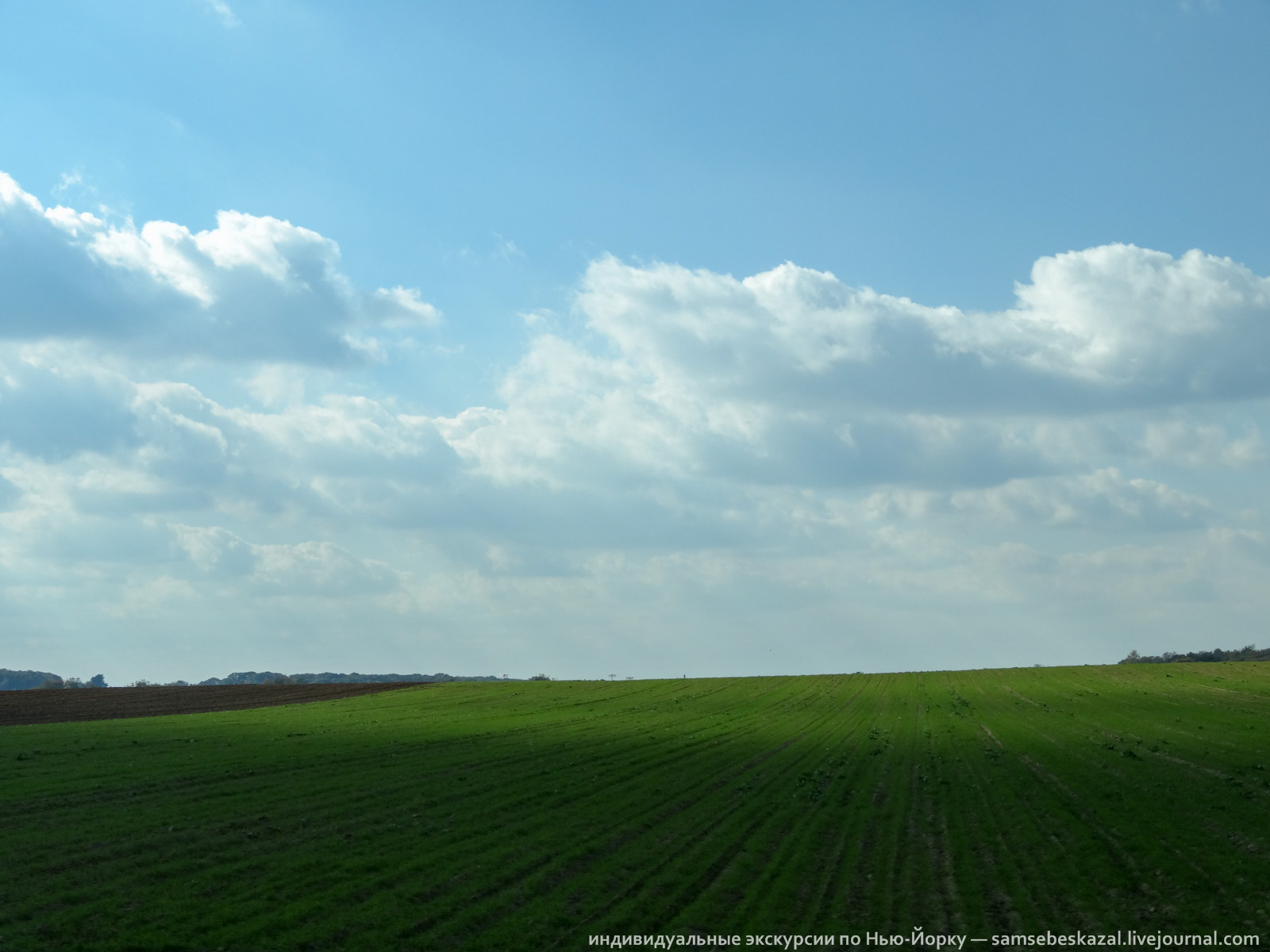
#clouds #landscape
#landscape
Oooh Look an Ar-teeest! #2
#clouds #landscape #farm
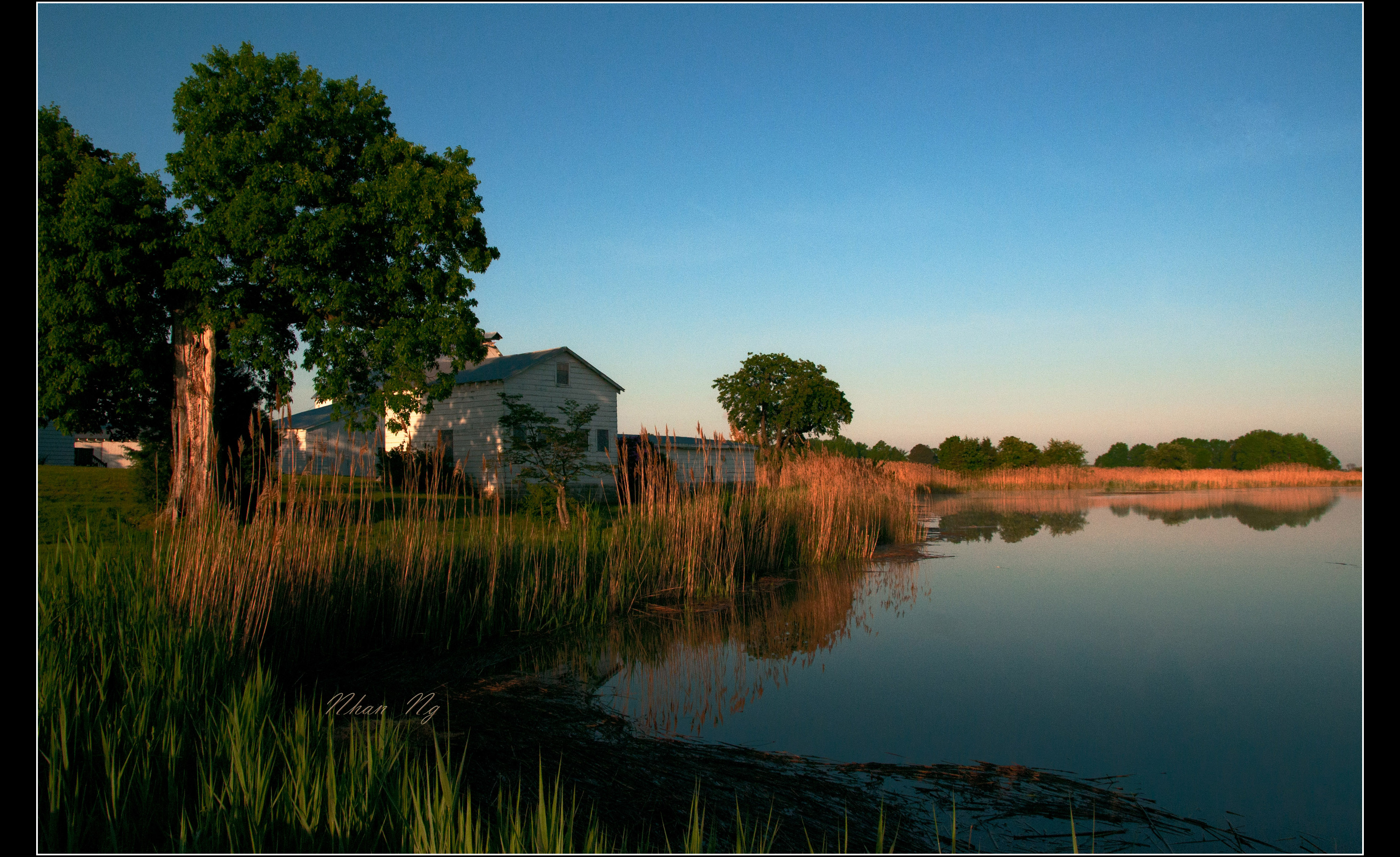
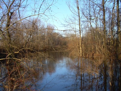
By The Stream
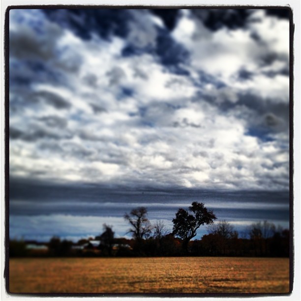
#clouds #landscape
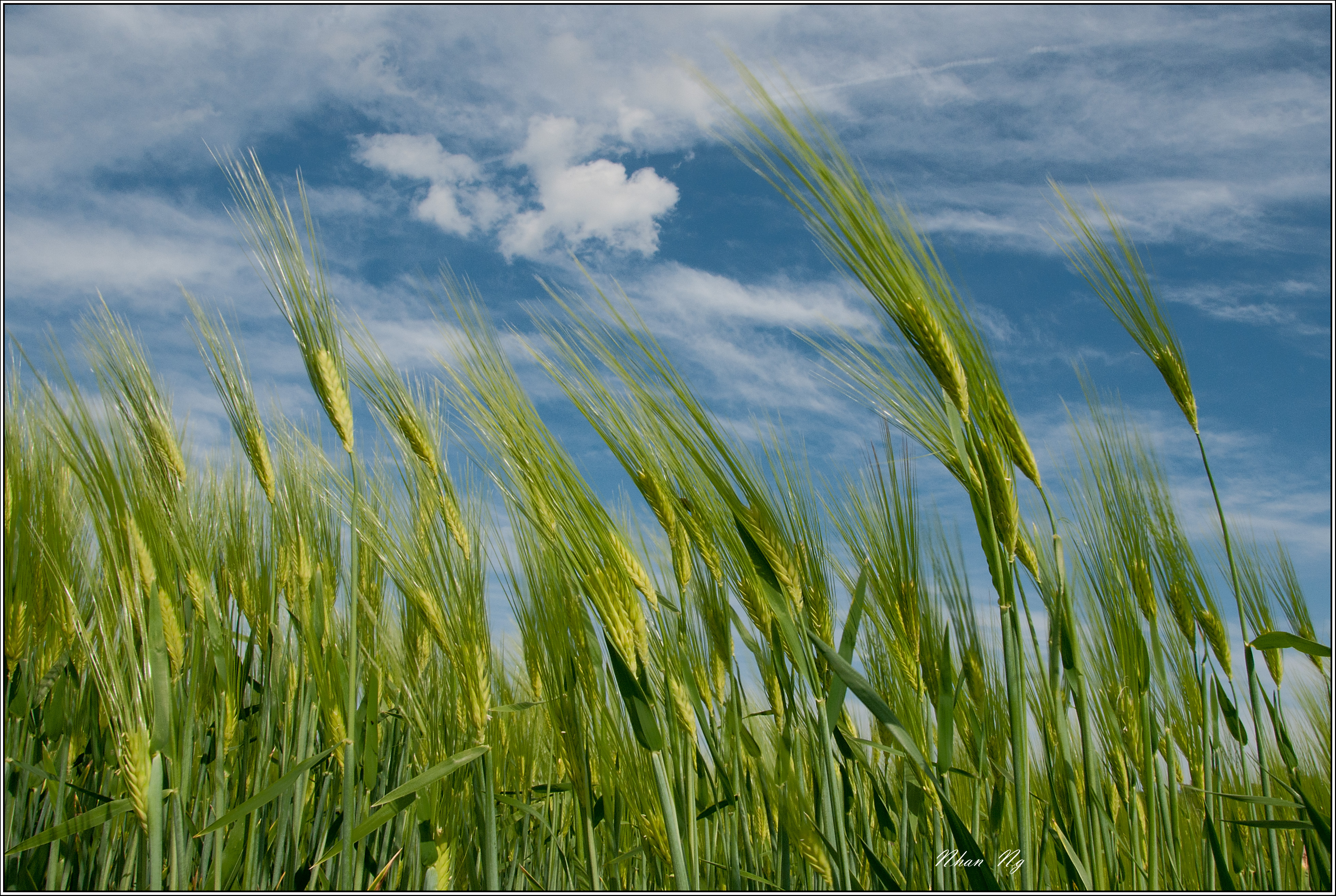
Windy Afternoon
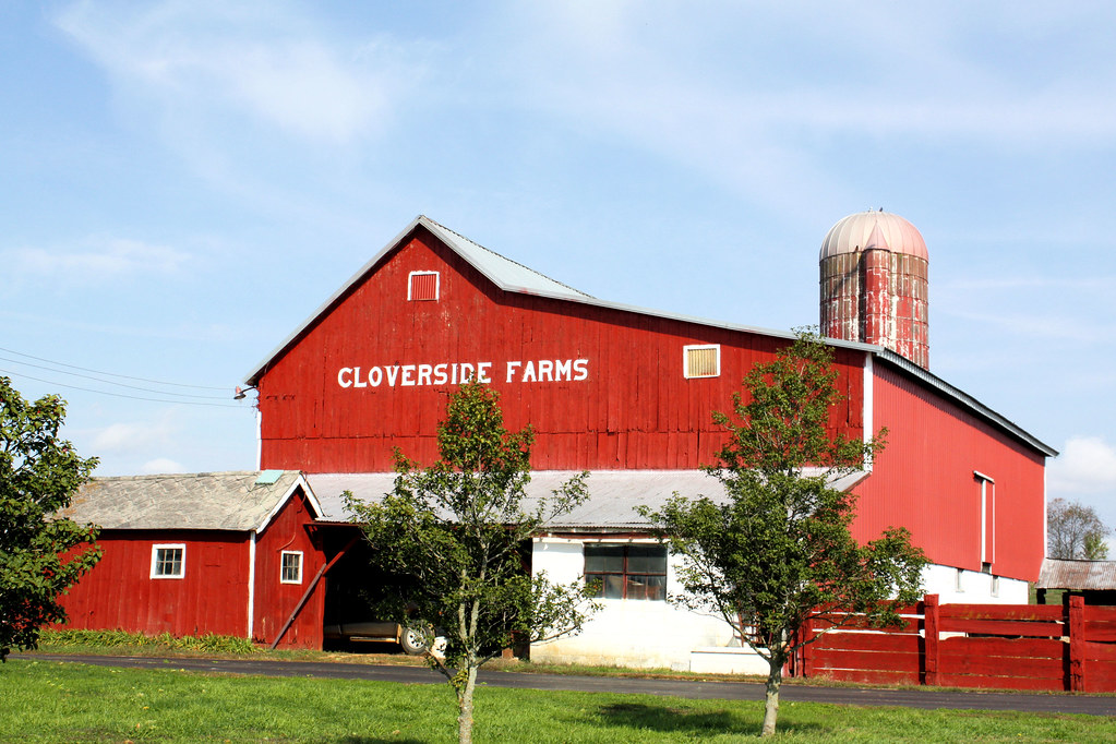
Cloverside Farms

An Lành
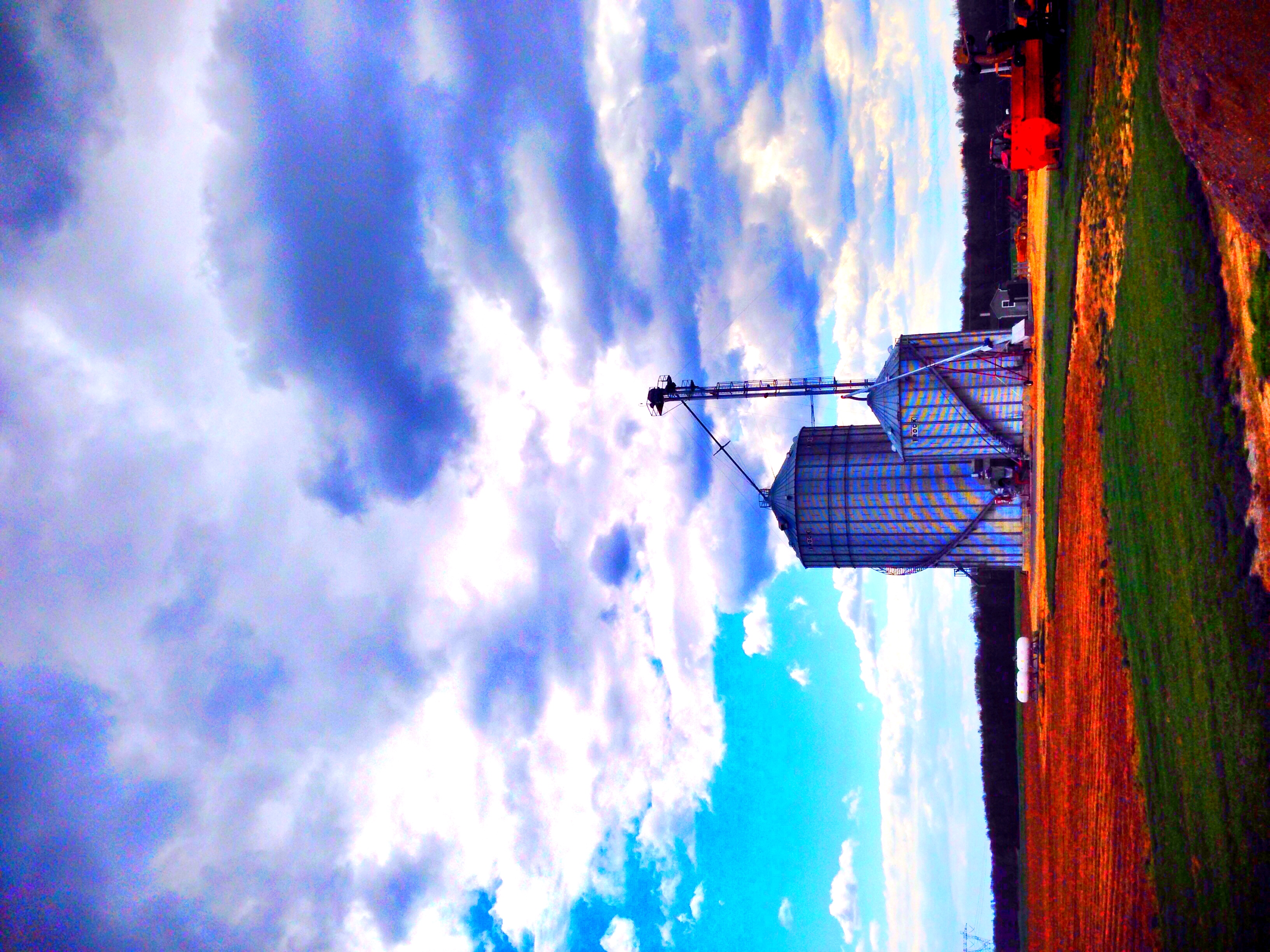
~South Jersey Farm Life~
Salem River Wildlife Management Area
Sunset at Supawna Meadows NWR
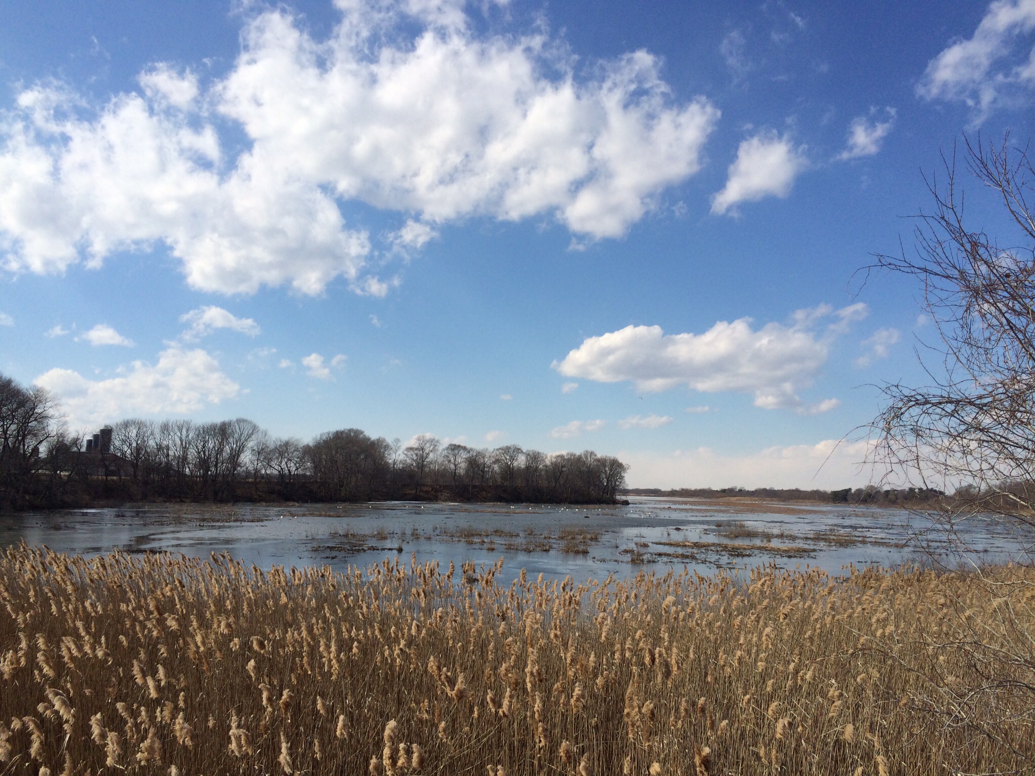
Gorgeous, sunny but cold winter afternoon at Mannington Marsh in Salem county, NJ
samsebeskazal.livejournal.com-05702.jpg
samsebeskazal.livejournal.com-05635.jpg

Falling Water At Mary Elamer Lake
Topographic Map of Quinton, NJ, USA
Find elevation by address:

Places in Quinton, NJ, USA:
32 Quinton-Marlboro Rd, Salem, NJ, USA
Wright Ave, Bridgeton, NJ, USA
11 Gravelly Hill Rd, Bridgeton, NJ, USA
Gravelly Hill Rd, Salem, NJ, USA
Jericho Rd, Salem, NJ, USA
Places near Quinton, NJ, USA:
Jericho Rd, Salem, NJ, USA
11 Gravelly Hill Rd, Bridgeton, NJ, USA
Wright Ave, Bridgeton, NJ, USA
32 Quinton-Marlboro Rd, Salem, NJ, USA
Batter Cake Lane
Hell Neck Road
Gravelly Hill Rd, Salem, NJ, USA
12 Locust Hill Ct
7 Mays Ln, Salem, NJ, USA
723 Harmersville Canton Rd
42 Main St, Bridgeton, NJ, USA
434 Salem Hancocks Bridge Rd
Salem Hancocks Bridge Rd, Salem, NJ, USA
Main St, Shiloh, NJ, USA
Roadstown Rd, Bridgeton, NJ, USA
425 Ye Greate St
Lower Alloways Creek
Elsinboro
66 Stow Neck Rd, Salem, NJ, USA
21 Featherbed Ln
Recent Searches:
- Elevation of Corso Fratelli Cairoli, 35, Macerata MC, Italy
- Elevation of Tallevast Rd, Sarasota, FL, USA
- Elevation of 4th St E, Sonoma, CA, USA
- Elevation of Black Hollow Rd, Pennsdale, PA, USA
- Elevation of Oakland Ave, Williamsport, PA, USA
- Elevation of Pedrógão Grande, Portugal
- Elevation of Klee Dr, Martinsburg, WV, USA
- Elevation of Via Roma, Pieranica CR, Italy
- Elevation of Tavkvetili Mountain, Georgia
- Elevation of Hartfords Bluff Cir, Mt Pleasant, SC, USA