Elevation of Sai Yok National Park, Sai Yok District, Kanchanaburi, Thailand
Location: Myanmar (burma) > Kanchanaburi > Sai Yok District > Sai Yok >
Longitude: 98.8508321
Latitude: 14.4385193
Elevation: 88m / 289feet
Barometric Pressure: 100KPa
Elevation Map:
Satellite Map:
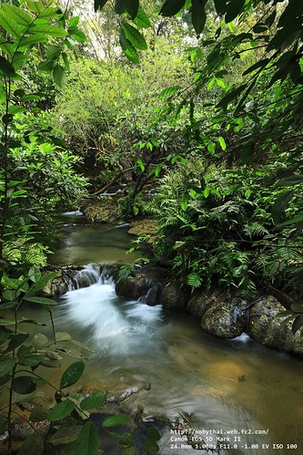
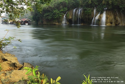
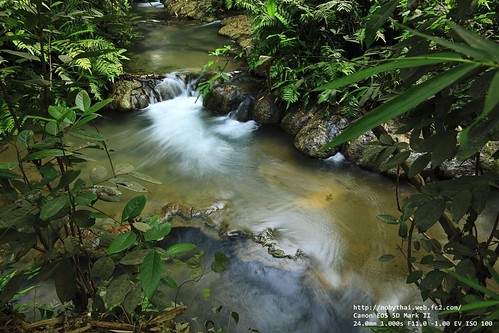
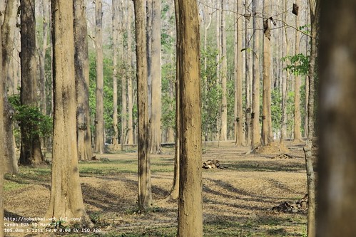
Related Photos:
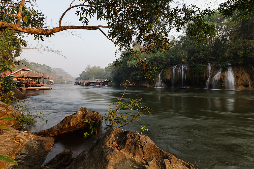
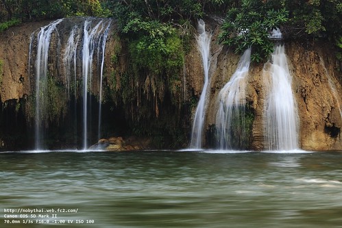
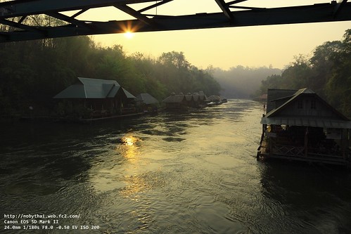
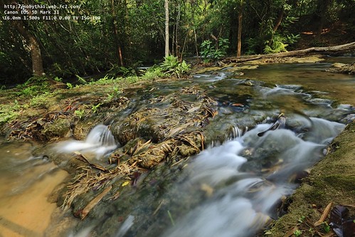
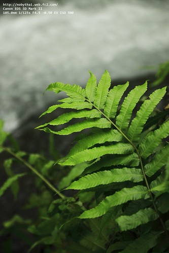
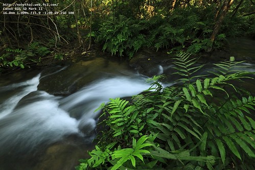
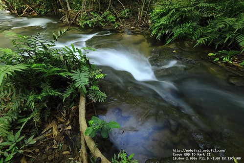
Sai Yok Waterfall
2010_02_27_000021139.JPG
2010_02_27_000021122.JPG
2010_02_27_000021175.JPG
2010_02_27_000021203.JPG
2010_02_27_000021128.JPG
2010_02_27_000021207.JPG
2010_02_27_000021244.JPG
2010_02_27_000021221.JPG
2010_02_27_000021209.JPG
2010_02_27_000021216.JPG
Topographic Map of Sai Yok National Park, Sai Yok District, Kanchanaburi, Thailand
Find elevation by address:

Places near Sai Yok National Park, Sai Yok District, Kanchanaburi, Thailand:
Sai Yok
Chong Khao Khat
Hell Fire Pass Memorial Museum
Tha Sao
Z9 Resort
Srinakarin Dam
Si Sawat District, Kanchanaburi, Thailand
Erawan Falls
Tha Kradan
Thong Pha Phum District
Si Sawat District
Sai Yok District
Unnamed Road
Nichigo Resort & Country Club
Khwae Yai
Grand Prix Golf Club
Blue Sapphire Golf And Resort
Prang Phe
Kanchanaburi
Khao Laem National Park
Recent Searches:
- Elevation of Corso Fratelli Cairoli, 35, Macerata MC, Italy
- Elevation of Tallevast Rd, Sarasota, FL, USA
- Elevation of 4th St E, Sonoma, CA, USA
- Elevation of Black Hollow Rd, Pennsdale, PA, USA
- Elevation of Oakland Ave, Williamsport, PA, USA
- Elevation of Pedrógão Grande, Portugal
- Elevation of Klee Dr, Martinsburg, WV, USA
- Elevation of Via Roma, Pieranica CR, Italy
- Elevation of Tavkvetili Mountain, Georgia
- Elevation of Hartfords Bluff Cir, Mt Pleasant, SC, USA