Worldwide Elevation Map Finder

Elevation of Khao Laem National Park, Thailand

Location: Myanmar (burma) > Kanchanaburi > Sangkhla Buri District > Prang Phe >

Longitude: 98.6087391

Latitude: 15.0593014

Elevation: 892m / 2927feet

Barometric Pressure: 91KPa

Elevation Map:

elevation map of Khao Laem National Park, Thailand

Satellite Map:

Satellite map of Khao Laem National Park, Thailand

Related Photos:

flowers mountain elephant nature forest sunrise river landscape geotagged thailand eos asia southeastasia thai 日本 5d aasia chiangrai greatphotographer supershot  nature 東南アジア mywinners anawesomeshot streetthailand flickraward unseenasia earthasia totallythailand  風景 impensable  街並み  アジア  写真  東南アジア  タイ  タイ王国  バンコク  チェンマイ  メーホンソン  プーケット  アユタヤ  キャノン  スポーツ写真  報道写真 viewphotosfromyouorfromeveryone maehongson
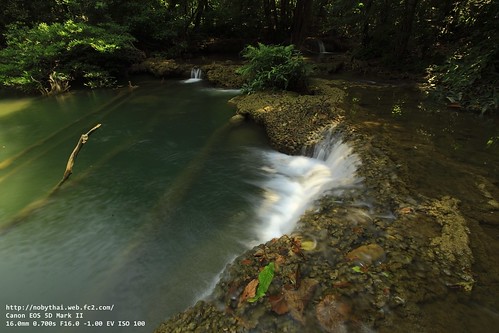
2010_02_27_000021283.JPG
flowers mountain elephant nature forest sunrise river landscape geotagged thailand eos asia southeastasia thai 日本 5d aasia chiangrai greatphotographer supershot  nature 東南アジア mywinners anawesomeshot streetthailand flickraward unseenasia earthasia totallythailand  風景 impensable  街並み  アジア  写真  東南アジア  タイ  タイ王国  バンコク  チェンマイ  メーホンソン  プーケット  アユタヤ  キャノン  スポーツ写真  報道写真 viewphotosfromyouorfromeveryone maehongson
2010_02_27_000021305.JPG
flowers mountain elephant nature forest sunrise river landscape geotagged thailand eos asia southeastasia thai 日本 5d aasia chiangrai greatphotographer supershot  nature 東南アジア mywinners anawesomeshot streetthailand flickraward unseenasia earthasia totallythailand  風景 impensable  街並み  アジア  写真  東南アジア  タイ  タイ王国  バンコク  チェンマイ  メーホンソン  プーケット  アユタヤ  キャノン  スポーツ写真  報道写真 viewphotosfromyouorfromeveryone maehongson
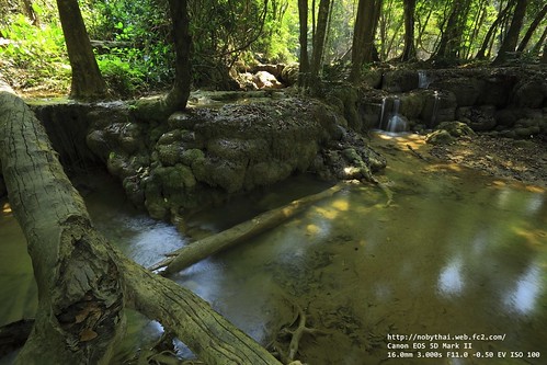
2010_02_27_000021286.JPG

Topographic Map of Khao Laem National Park, Thailand

Find elevation by address:


Places near Khao Laem National Park, Thailand:

Prang Phe เมืองบาดาล Sangkhla Buri District Thong Pha Phum District Khwae Yai Unnamed Road Si Sawat District Sai Yok Sai Yok National Park Si Sawat District, Kanchanaburi, Thailand Chong Khao Khat Z9 Resort Hell Fire Pass Memorial Museum Srinakarin Dam Tha Sao Erawan Falls Tha Kradan Giant Tree Nikhom Krasieo Dan Chang District

Recent Searches:

  • Elevation of Corso Fratelli Cairoli, 35, Macerata MC, Italy
  • Elevation of Tallevast Rd, Sarasota, FL, USA
  • Elevation of 4th St E, Sonoma, CA, USA
  • Elevation of Black Hollow Rd, Pennsdale, PA, USA
  • Elevation of Oakland Ave, Williamsport, PA, USA
  • Elevation of Pedrógão Grande, Portugal
  • Elevation of Klee Dr, Martinsburg, WV, USA
  • Elevation of Via Roma, Pieranica CR, Italy
  • Elevation of Tavkvetili Mountain, Georgia
  • Elevation of Hartfords Bluff Cir, Mt Pleasant, SC, USA
Worldwide Elevation Map Finder Sunset Sunrise Times Lookup
©MAPLOGS.COM 2025