Elevation of Blue Sapphire Golf and Resort, 85 Moo 13, Tambon Chongdan Kanchanaburi, ตำบล ช่องด่าน อำเภอ บ่อพลอย กาญจนบุรี, Thailand
Location: Myanmar (burma) > Kanchanaburi >
Longitude: 99.4973182
Latitude: 14.3563101
Elevation: 90m / 295feet
Barometric Pressure: 100KPa
Elevation Map:
Satellite Map:
Related Photos:
Nov '17
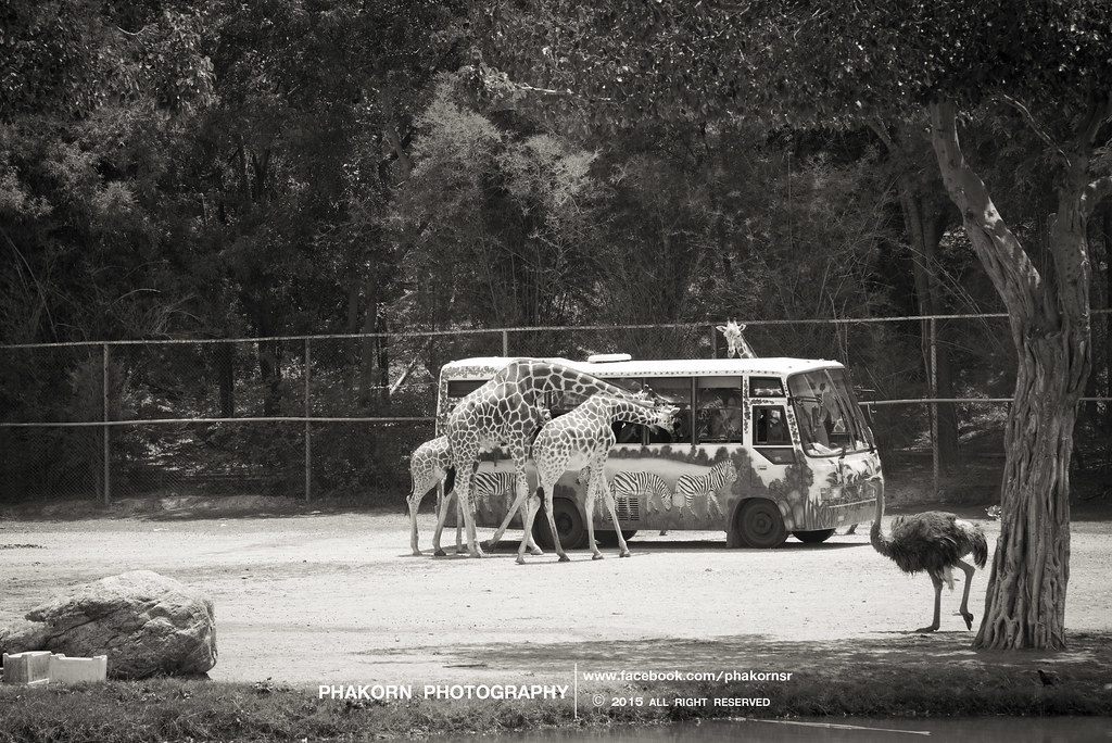
Giraffes at Safari Park, Kanchanaburi, Thailand
Dec 2555

Jun '12

Jun '12

Jan 2012
Jan 2012
Jan 2012
Jul '11

June 2554

June 2554

Apr '54

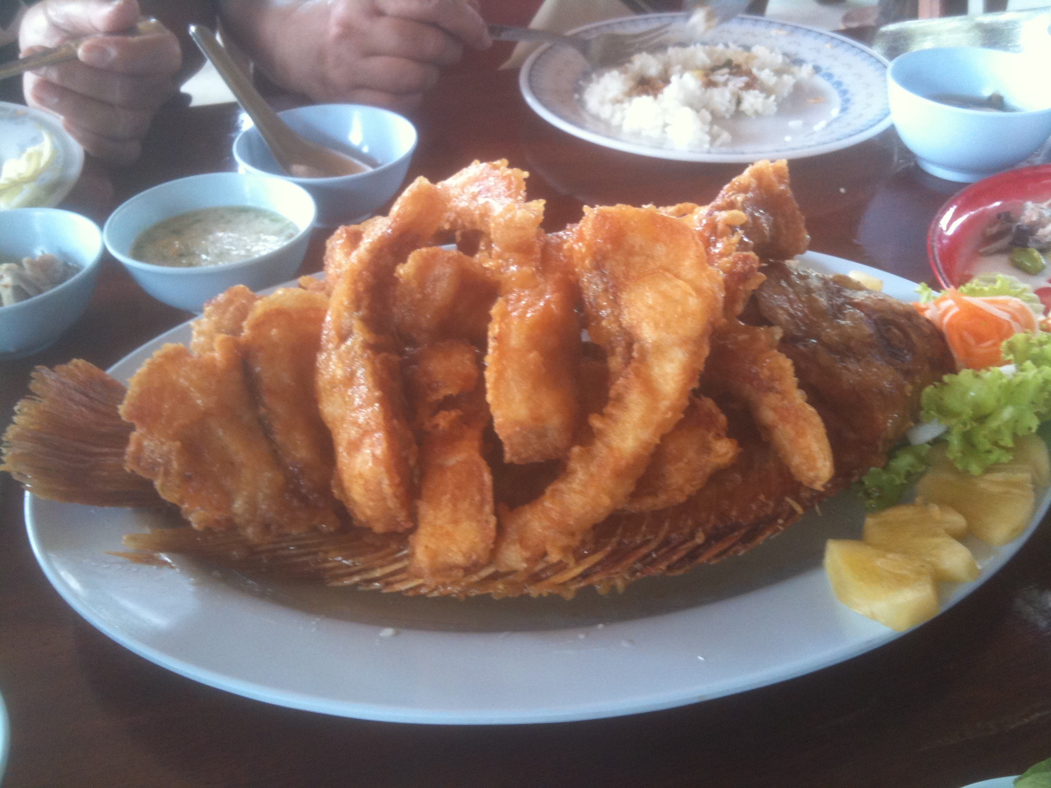
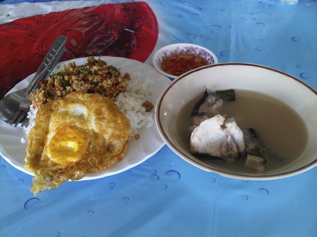
ต้มยำปลาคัง อร่อยที่สุดในโลก
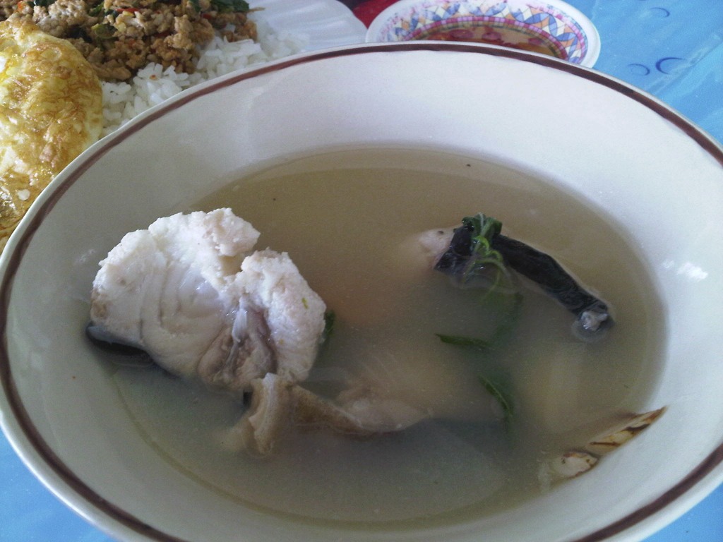
ร้านนิล บ่อพลอย
IMG00394-20101024-1048
Topographic Map of Blue Sapphire Golf and Resort, 85 Moo 13, Tambon Chongdan Kanchanaburi, ตำบล ช่องด่าน อำเภอ บ่อพลอย กาญจนบุรี, Thailand
Find elevation by address:

Places near Blue Sapphire Golf and Resort, 85 Moo 13, Tambon Chongdan Kanchanaburi, ตำบล ช่องด่าน อำเภอ บ่อพลอย กาญจนบุรี, Thailand:
Grand Prix Golf Club
Kaeng Sian
Kanchanaburi
Nichigo Resort & Country Club
Lao Khwan District
Lao Khwan
Tha Kradan
Erawan Falls
Lao Khwan District Office
Srinakarin Dam
Z9 Resort
Sai Yok District
Si Sawat District, Kanchanaburi, Thailand
Tha Sao
Nikhom Krasieo
ร้านข้าวแกง
Hell Fire Pass Memorial Museum
Dan Chang District
Si Sawat District
Chong Khao Khat
Recent Searches:
- Elevation of Corso Fratelli Cairoli, 35, Macerata MC, Italy
- Elevation of Tallevast Rd, Sarasota, FL, USA
- Elevation of 4th St E, Sonoma, CA, USA
- Elevation of Black Hollow Rd, Pennsdale, PA, USA
- Elevation of Oakland Ave, Williamsport, PA, USA
- Elevation of Pedrógão Grande, Portugal
- Elevation of Klee Dr, Martinsburg, WV, USA
- Elevation of Via Roma, Pieranica CR, Italy
- Elevation of Tavkvetili Mountain, Georgia
- Elevation of Hartfords Bluff Cir, Mt Pleasant, SC, USA